|
|
|
 |
Remember: Press F11 for a
full screen view of this page. |
Web Counter when published 2
029 590 |
|
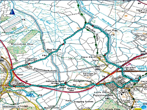
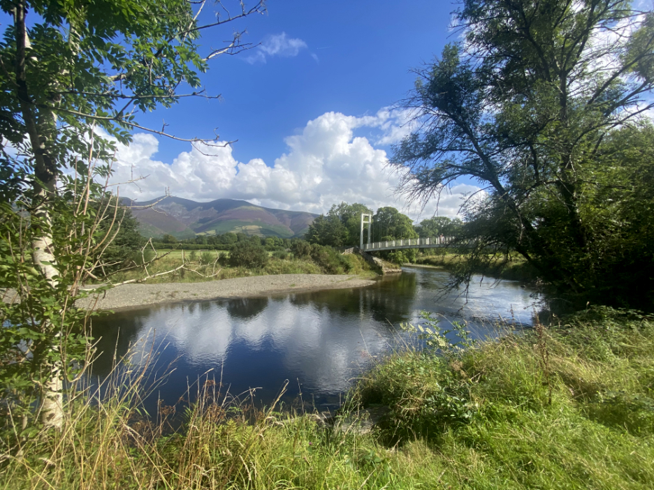
" Portinscale's Bog House Walk " Date & start time: 27th August 2022. 11.15 am start. Location of Start : By the Suspension Bridge, Portinscale, Cumbria, Uk. ( NY 254 238 ) Places visited : River Derwent path, Bog House, Braithwaite, Newlands Beck, Portinscale. Walk details : 4.5 miles, negligible feet of ascent, 3 hours 15 mins including lunch. Highest point : Portinscale Village, 100 metres above sea level, 25 metres above the bog. Walked with : Loes and the dogs, Dylan and Dougal. Weather : Sunshine and blue skies, a warm summer day.
|
© Crown copyright. All rights reserved. Licence number PU 100034184. |
|
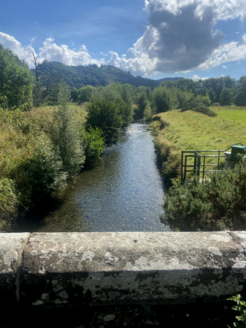
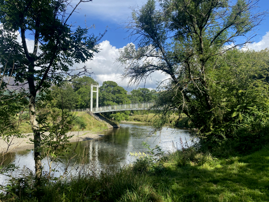
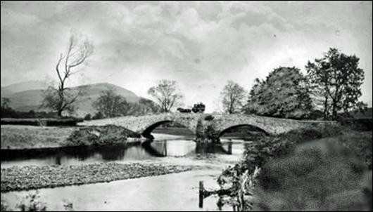
Shown as Storm Water Bridge on the map, this footbridge presumably replaced an old road bridge that must have been lost in a storm (of old). The main road now by-passes Portinscale with the 'new' road being part of the improvements to the A66 once the railway closed.
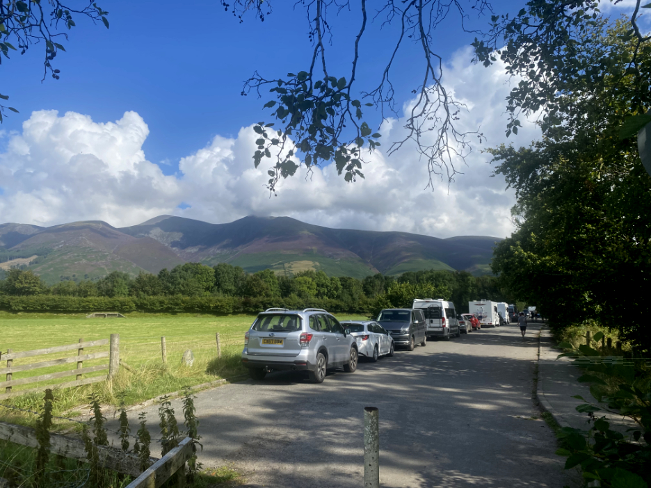
We were fortunate to find the last but one parking spot on the old road.
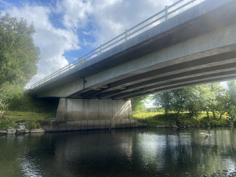
Rather than stone, this is a larger and more dramatic concrete bridge, as it carries the dual carriageway over the river.
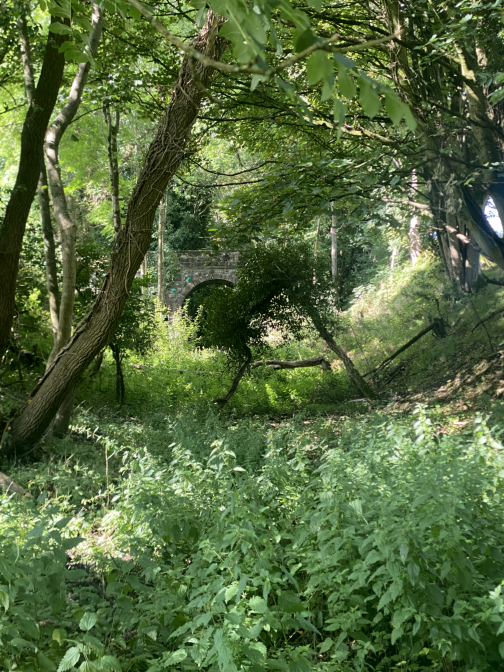
The next bridge abutment has a far older history. It dates from the 1860's when the Penrith / Keswick /Cockermouth railway line was built. The bridge was removed some time back and some of the old embankment on the other side seems to be missing too.
[ There was another picture of me swimming but modesty prevents me showing it here ]
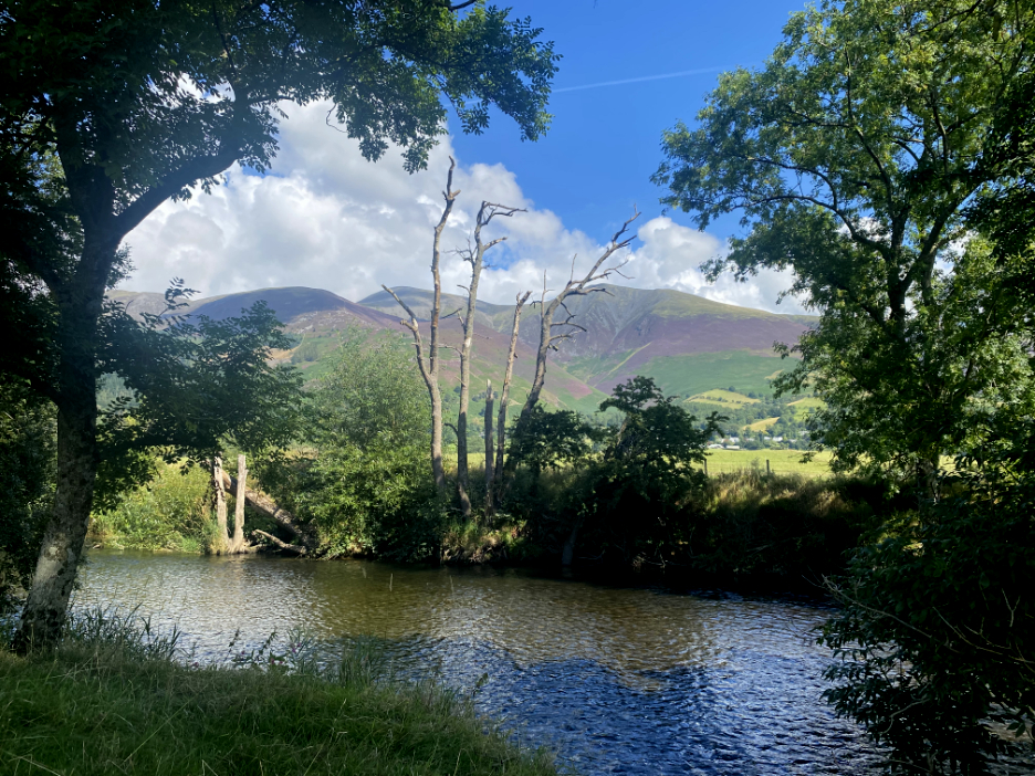
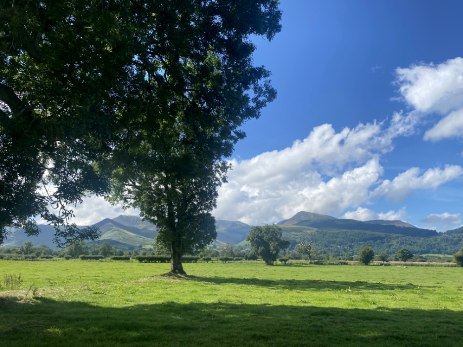
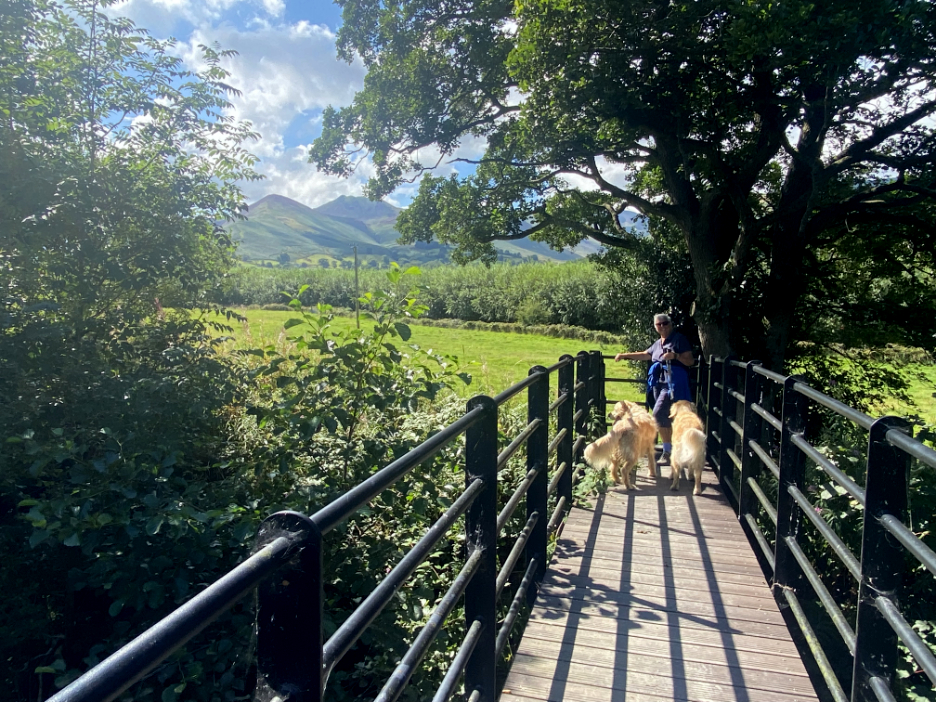
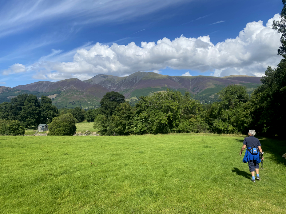
Carlside, Skiddaw and Skiddaw Little Man looking colourful, especially with the blue skies and a covering of purple heather on the lower slopes this month.
To our left as we followed the Allerdale Ramble path were the North Western fells of Causey Pike, Crag Hill, Grisedale Pike and the Whinlatter Forest.
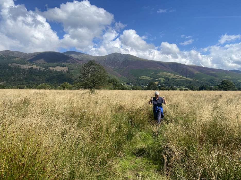
Fortunately with the recent dry weather and sunshine the vast majority of the path was dry. However, the farm fields were left behind and we followed the meandering path through the tussocky grass.
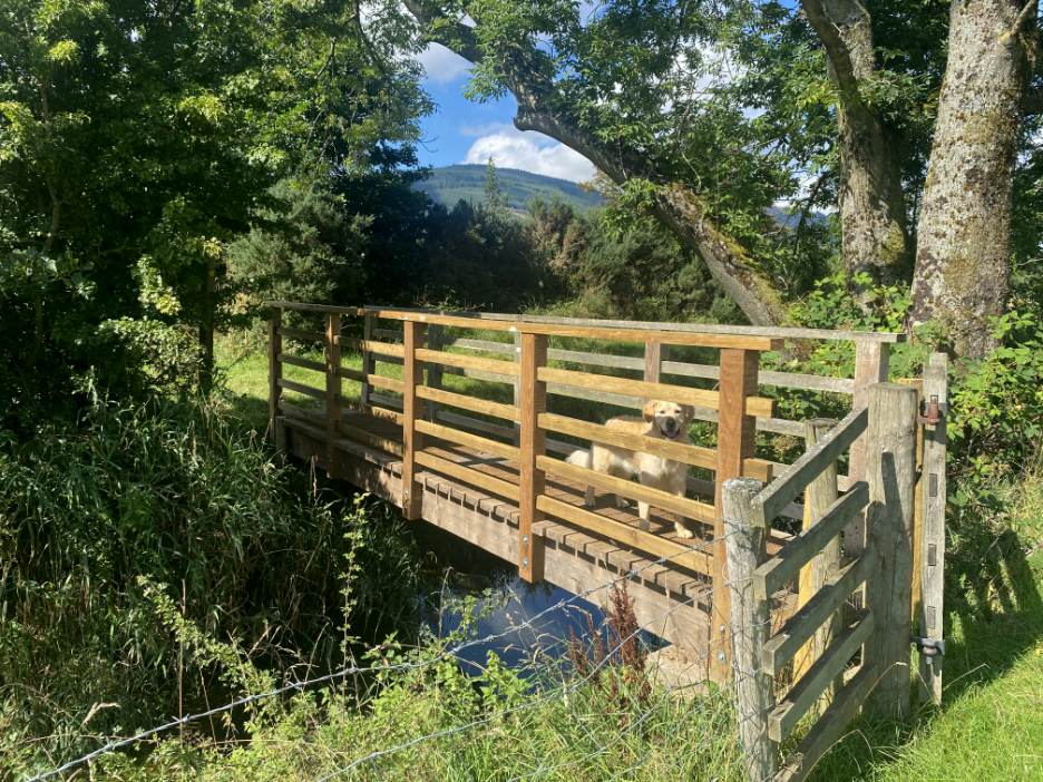
A new footbridge gave us confidence that the path would go through . . . but it was not the easiest of walking in places.
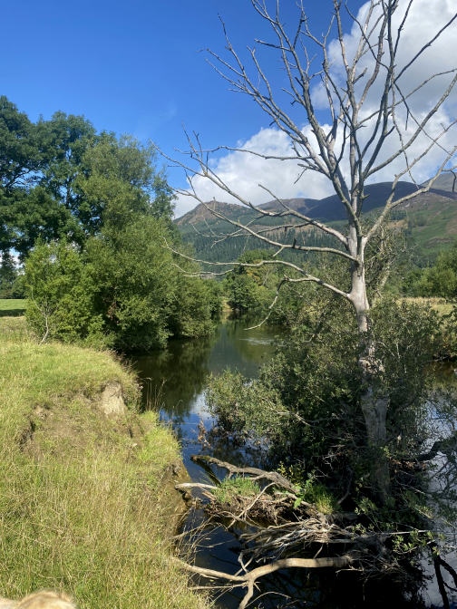
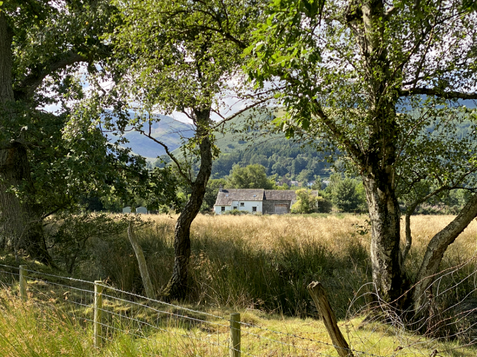
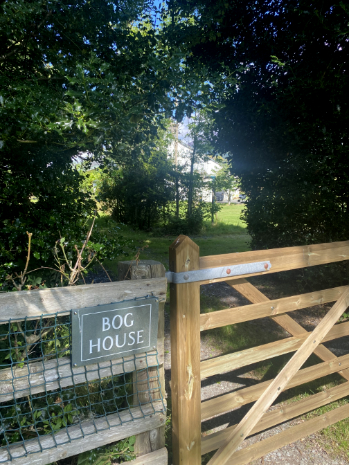
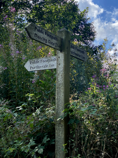
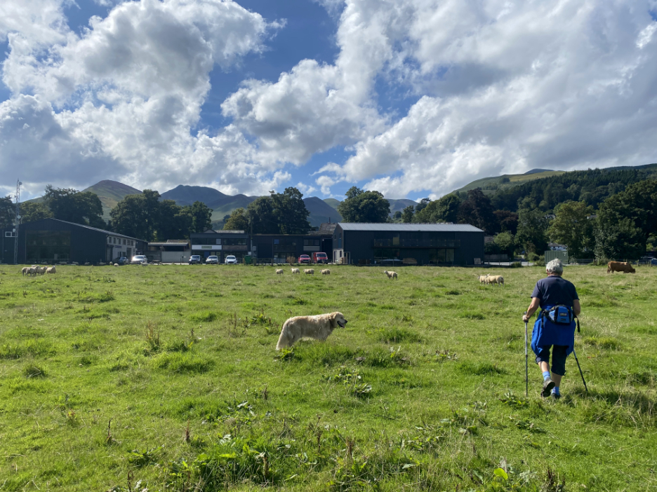
Across the way was the property that gave its name to the walk today. In the centre of the bog was "Bog House" !
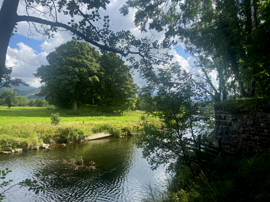
Sitting on slightly higher ground, next to the canalised Newlands Beck was a nice looking house.
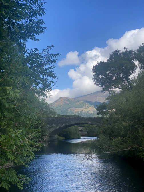
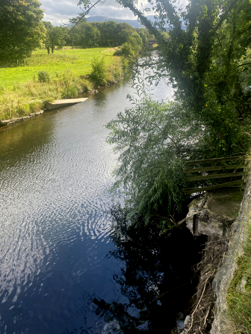
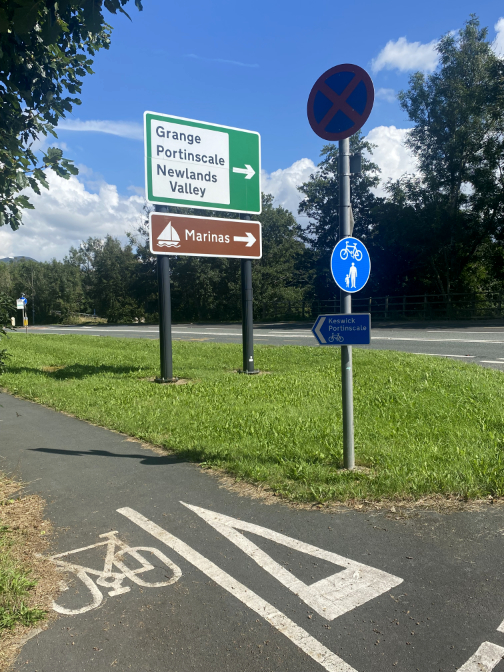
Portinscale is the track back via How Farm, but we continue on over the next bridge towards Braithwaite.
A really nice summer day and our coats were not needed. Here we are crossing over the bridge spanning the raised banks of Newlands Beck.
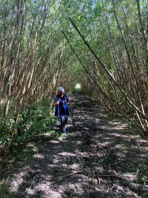
The dark nature of the close planting has kept the land damp and this was the muddiest part of the walk. In a few years the trees would be coppiced and the tops converted to wood chip, only to re-grow and repeat the cycle.
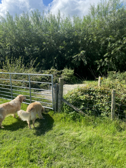
The exit gate allowed us to clean our boots as we crossed the farm field towards the small business park at Braithwaite Farm.
On the opposite side of the buildings we met the old railway track once again. This was the old platform and station buildings of Braithwaite Station, now a private house.
We emerged onto the cause of its demise . . . the motor road at Braithwaite. Saying that, the A66 itself was not developed to this extent until after the railway closed in the 1970's.
Being well past midday, thoughts moved towards some light refreshment so we walked through the village to Jasper's Coffee House where we enjoyed a very pleasant lunch.
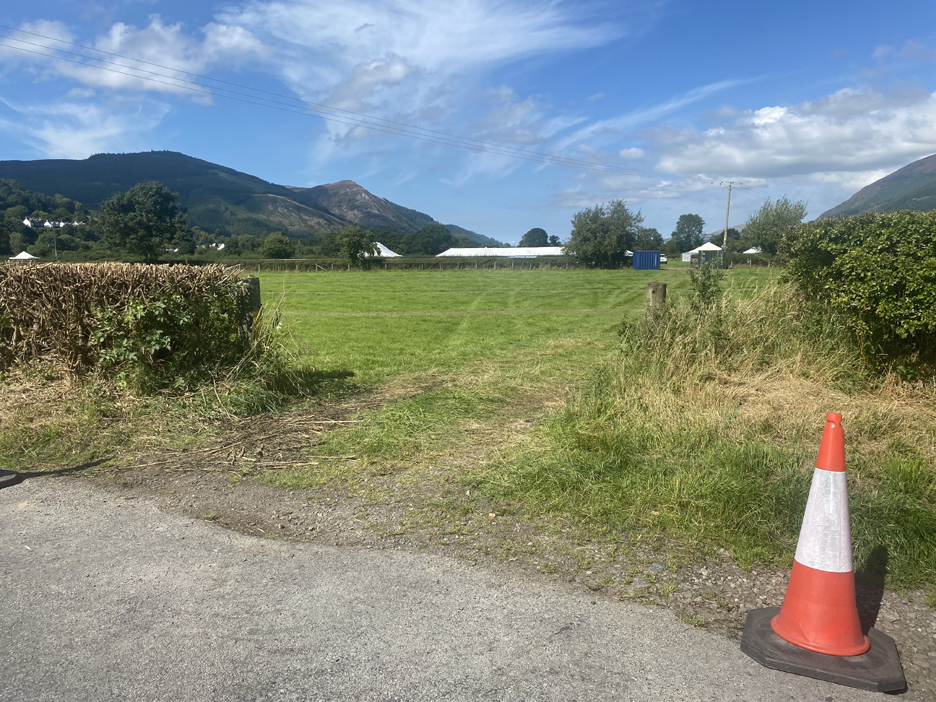
Time to head back to the car as we passed the field being prepared for the forthcoming Keswick Show over the Bank Holiday weekend.
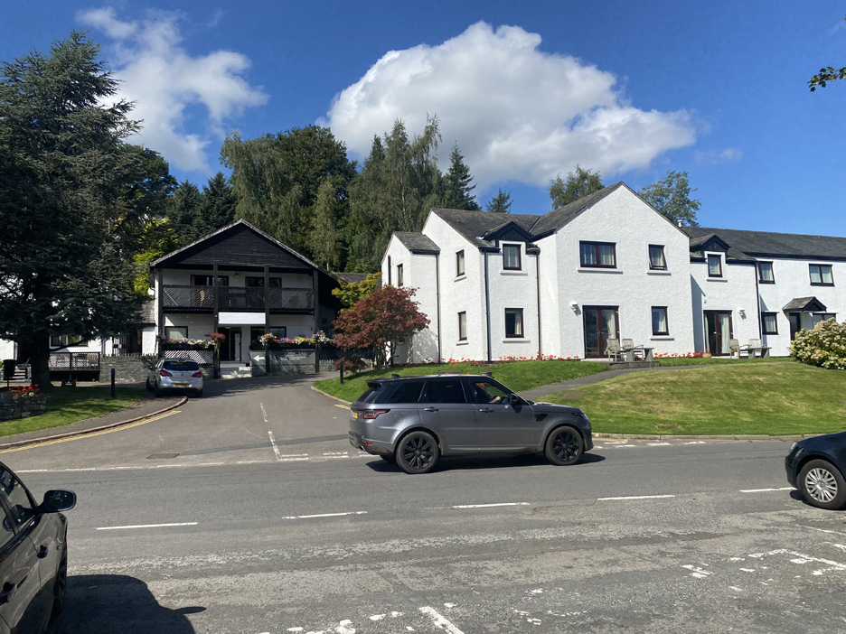
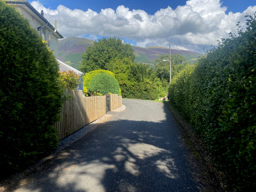
The local road climbs the slight hill up into Portinscale Village, past the Farmer's Arms.
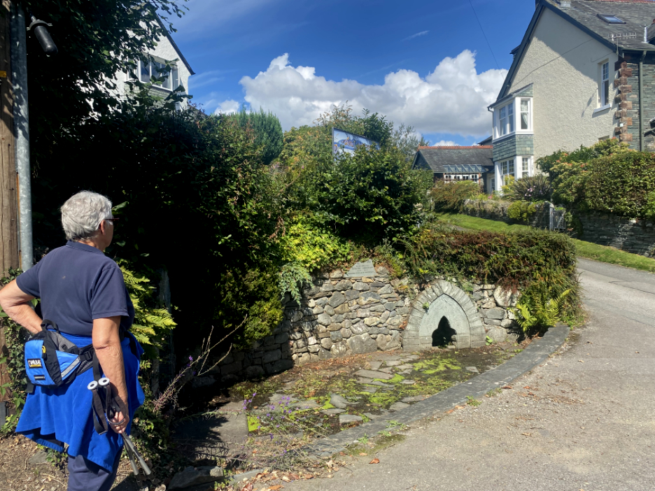
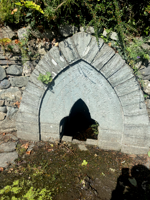
On the corner is a rather dry looking well . . . but then it has been a long hot summer.
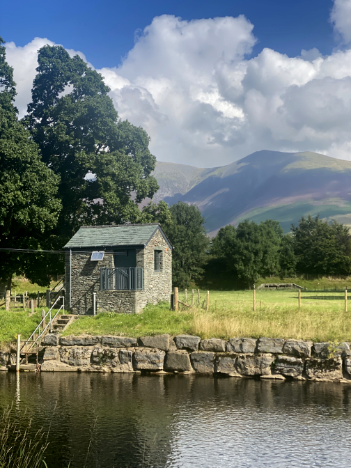
The Water Monitoring Hut comes into view once again . . . so we must b e on the right track.
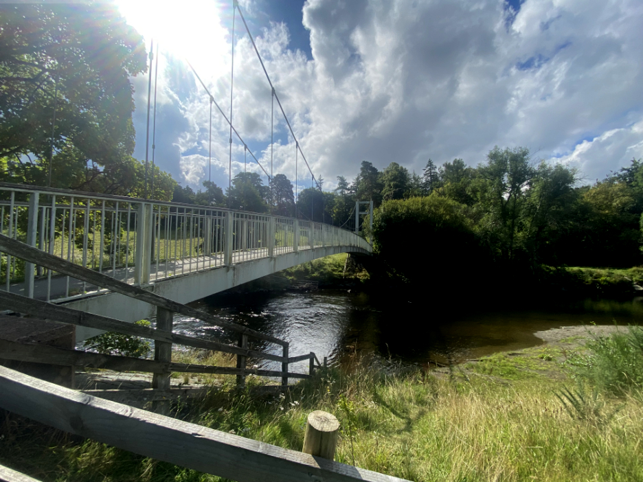
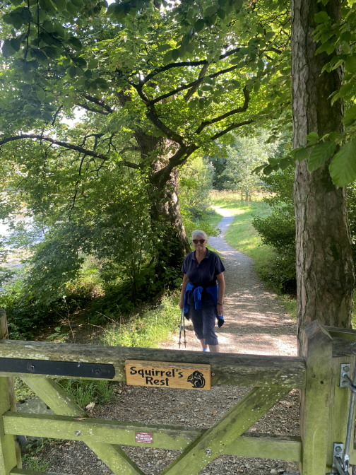
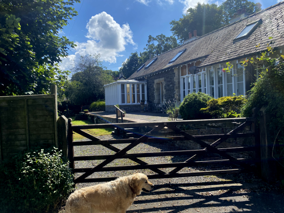
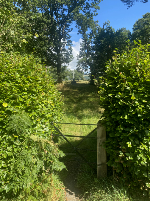
The gate back into "Squirrels Rest" and the view of the suspension bridge once more means that we have completed the very interesting round walk we'll long remember as "The Bog House Walk". - - - o o o - - -
- - - o o o - - - |


Technical note: Pictures taken with my Panasonic Lumix Gx8 Camera.
Resized in Photoshop, and built up on a Dreamweaver web builder.
This site best viewed with . . . sunshine, blue skies and refreshment stops on the way around.
Go to Home Page . . . © RmH . . . Email me here
Previous walk - 17th August - History and a History Walk
A previous time up here - 17th January - St Bega and Bassenthwaite Lake
Next walk - 31st August - Flying in for a Fell Walk
- - - o o o - - -
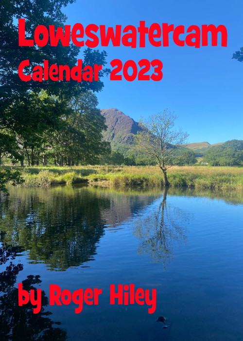 |
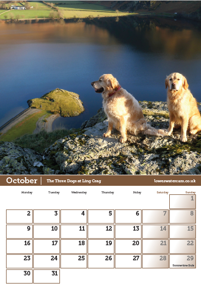
I am once again delighted to offer you the chance to buy The 2023 Loweswatercam Calendar. On sale now ! For the 14th annual edition of the calendar we have been looking back at the year to bring you twelve months of Loweswater pictures and Cumbrian scenes.
Click here or on either picture to see the full details. £12 a copy (plus postage + packaging if required) £1 of every calendar sold goes to support the Air Ambulance and Cumbrian Mountain Rescue.
|
 |