|
|
|
 |
Remember: Press F11 for a
full screen view of this page. |
Web Counter when published 2
023 725 |
|
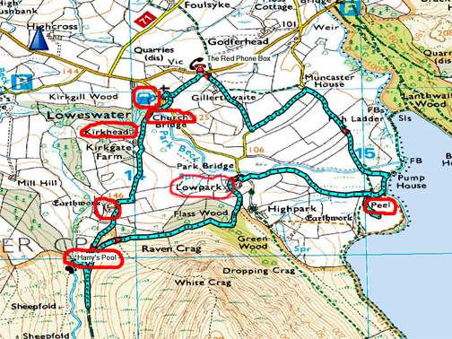
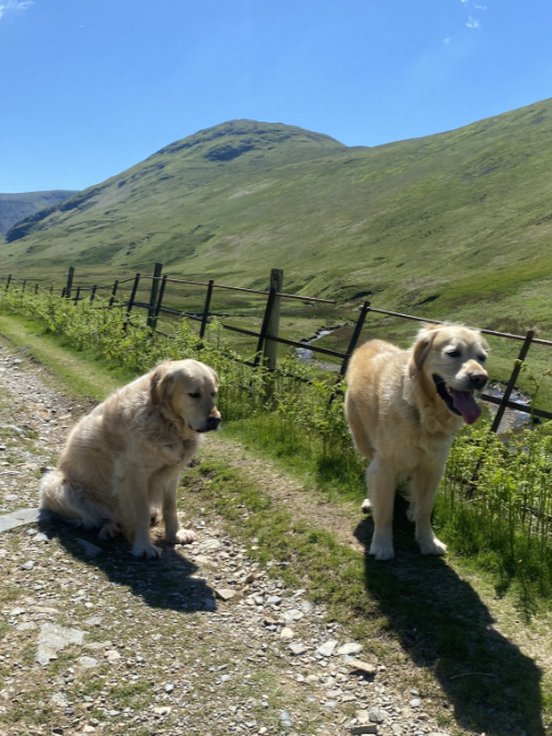
" History and a History Walk " Date & start time: 17th August 2022, and other days. Location of Start : St Bartholomew Church, Loweswater, Cumbria, Uk. ( NY 142 210) Places visited : Egremont Castle and two local walks. Walk details : 3.5 miles, 400 ft of ascent, 3 hours. Walked with : A local group of about twenty distant neighbours and four dogs. Weather : A sunny day, a rainy day, then back to a sunny day again.
|
© Crown copyright. All rights reserved. Licence number PU 100034184. |
|
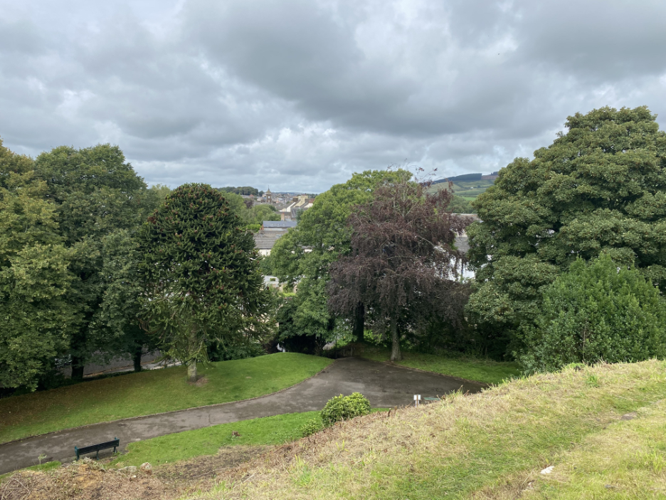
A composite of three walks, two historical and a third noting a point in time in the valley. A visit to Egremont Castle on the way back from St Bees was a short walk that has been waiting to be done for so long. The other walks were local but very different in aspect . . . do read on.
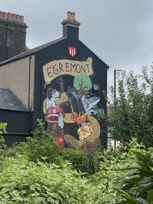
Egremont has a long heritage of the wool trade, including weaving, fulling and dyeing cloth. Mining particularly for iron ore and coal (hence the miner's lamp) was also historically important as was the modern interests of trail hounds and rugby, so making it to the mural on the end of the local building. Running through the mural like a snake and of course the town, is the ever present River Ehen which flows from Ennerdale Lake to the sea near Seascale.
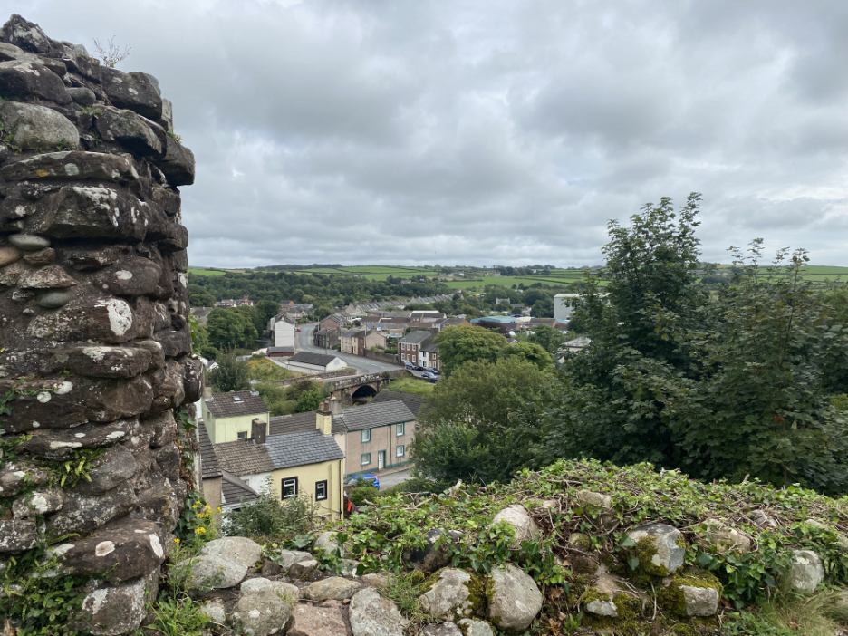
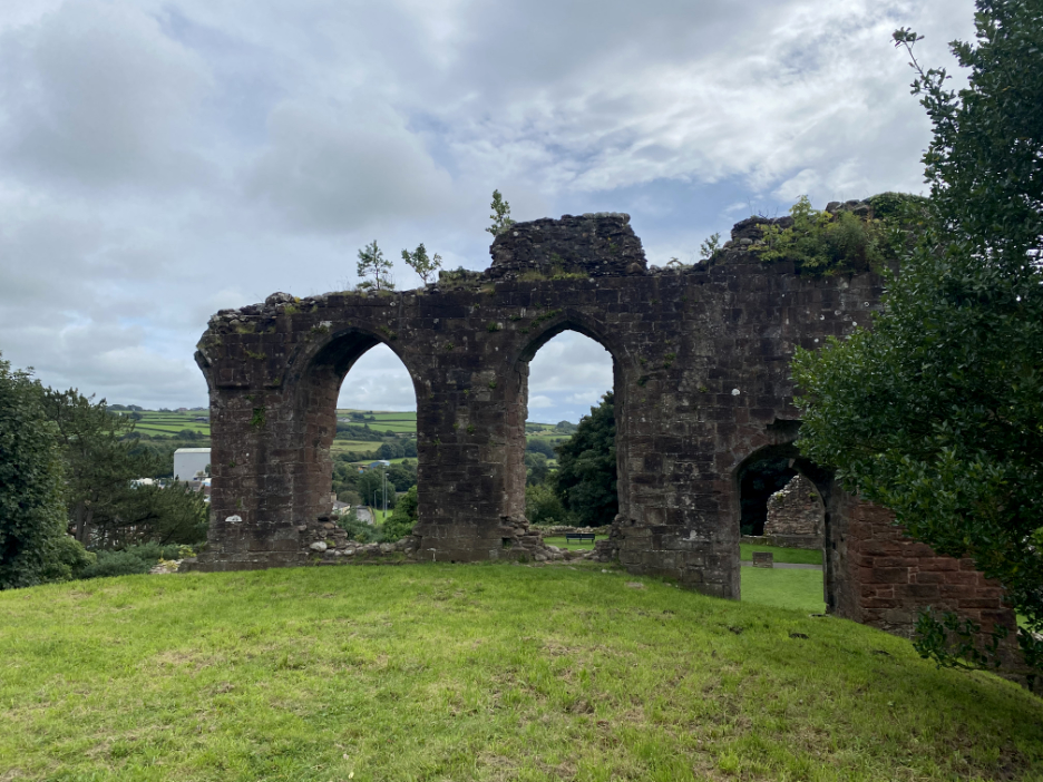
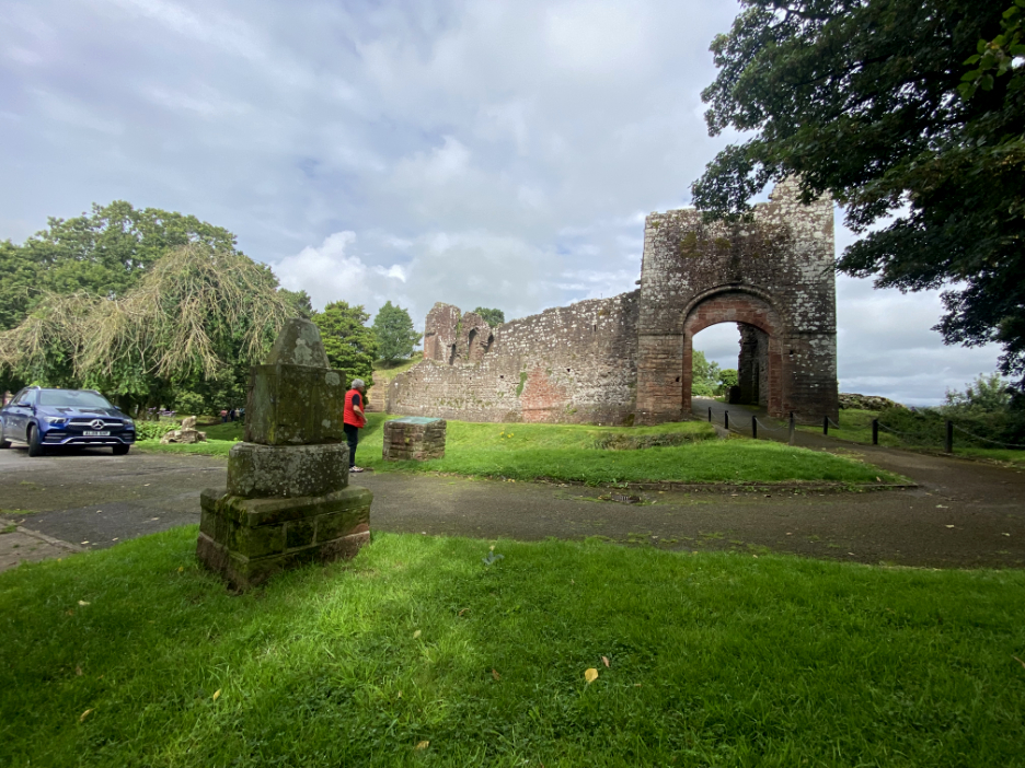
Egremont Castle was built on the high ground at the southern end of town, close to the bridge over the Ehen (seen below). The town was granted a market charter and the right to hold an annual fair in 1267. That has evolved into the popular Egremont Crab Fair (names after crab apples, not crustaceans by the way).
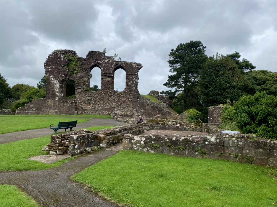
The Castle mound had two levels, this lower courtyard area with the usual buildings nestled safe inside the high walls and a Great Hall set higher up on the top, so as to command prestige and give extra protection.
From the flat top of the Motte or mound we can look back through the walls of the main keep to the courtyard below.
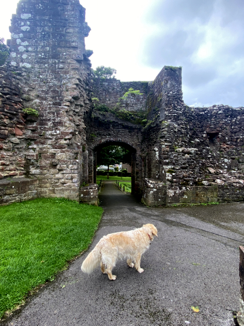
There has been a lot of work done recently to remove the overgrown vegetation and expose the castle to view once again. It is a real improvement and with the signage, does give meaning back to this ancient ruin.
- - - o o o - - - Later that week we had one of those very wet days, where you sit at the window watching the rain falling in stair rods and really don't want to take the dogs for a walk. It had rained from early morning to late afternoon and just when you thought it had reached its peak . . . it rained even harder !
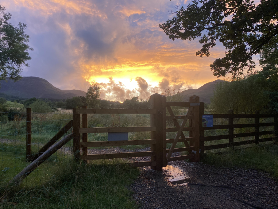
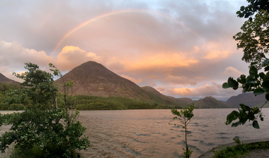
Fortunately the rain eased later in the day and there was time for a dry walk after supper. Sunset was about eight thirty to nine o'clock and whilst on the walk the clouds broke to reveal a spectacular sky.
The bright sun cast a yellow hue across the valley, just catching the top of Grasmoor with the last of the direct sunlight. The twelve hours of rain had filled rivers and they were flowing fast and brown, full of mud and sediment dislodged by the flood.
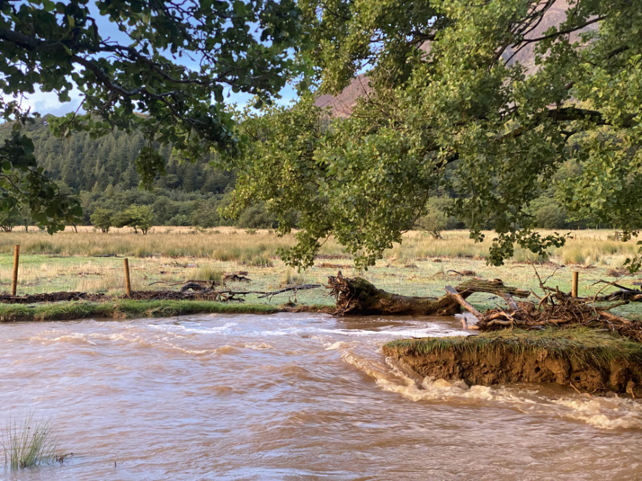
Park Beck. normally flowing over exposed shingle, was full to the brim and had been even higher by the look of it.
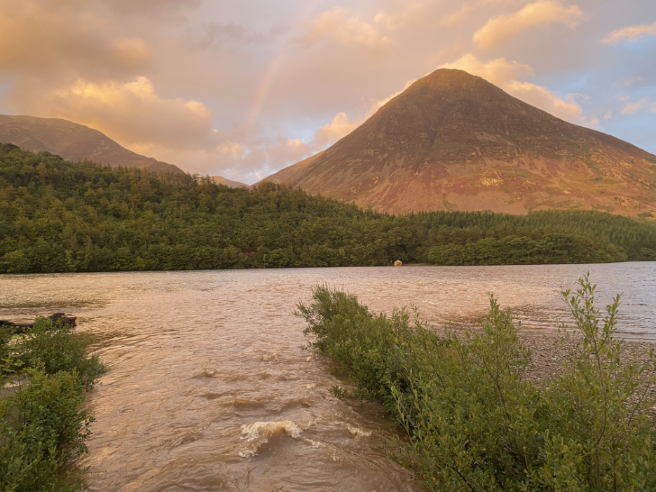
From the footbridge I could see a brown plume of water stretching far out into Crummock Water.
The rainbow heralded the passing of the rain clouds, chased away by the setting sun.
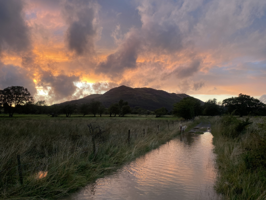
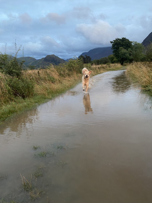
You can tell the river has been overflowing its channel when the track back to home was six inches deep in water !
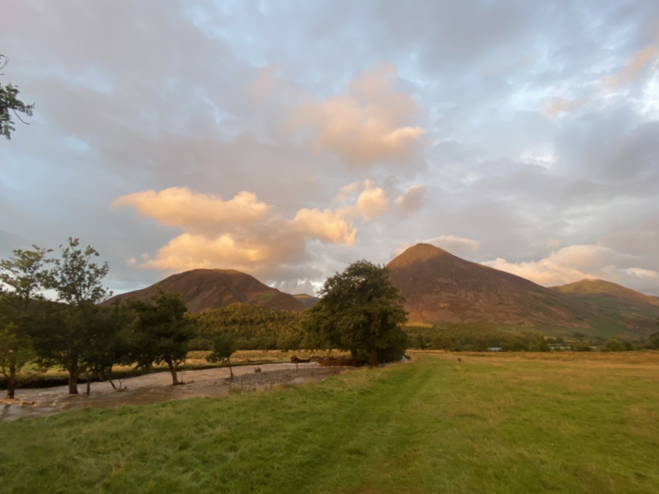
Chalk and Cheese . . . the weather's changed and the rain clouds have gone . . . it was a lovely summer's day once again !
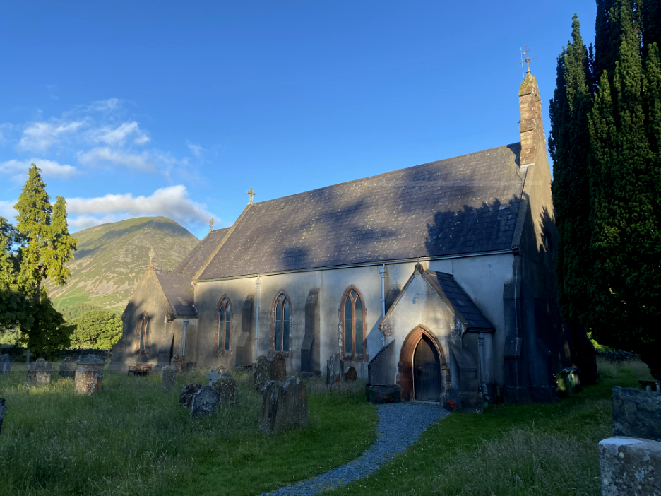
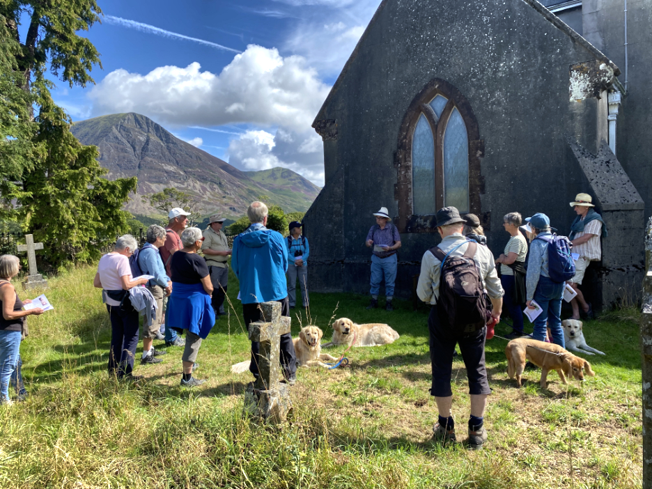
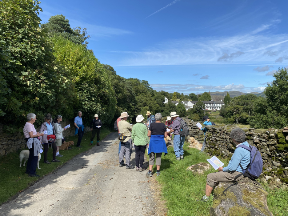
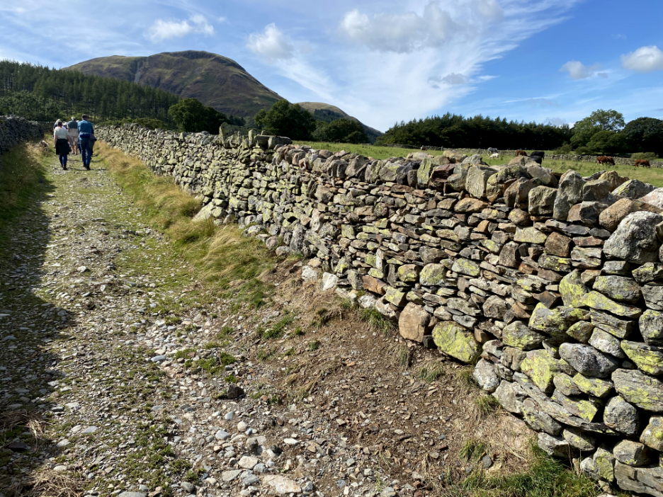
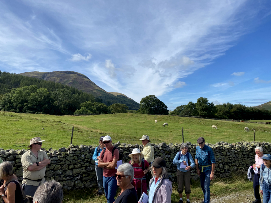
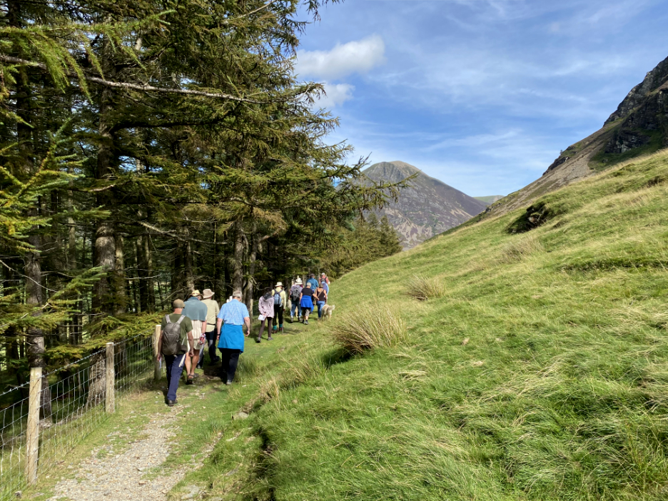
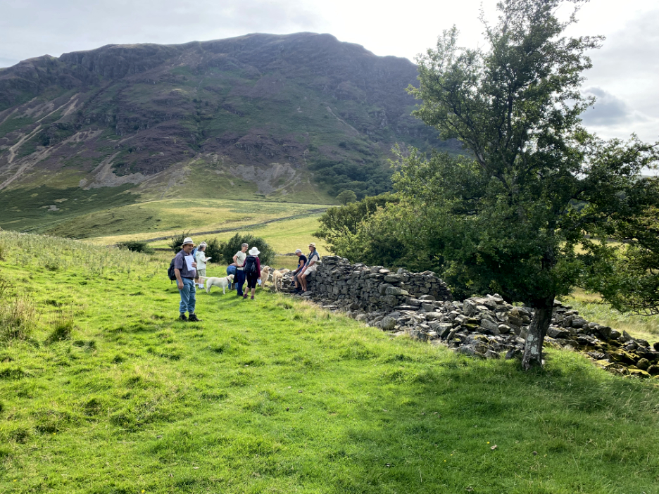
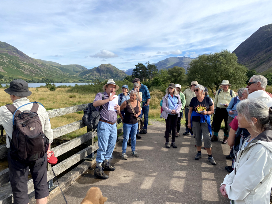
A crowd of about eighteen or twenty local members of the Lorton and Derwent Fells Local History Society gathered at St Bartholomew's Church to join a walk, led by our resident valley historian, Dr Derek Denman (centre). He had researched the history of the valley, the buildings, the people and the land ownership of the area since the time of the first settlement records were made.
After discussing the basic history of the church and the development of the Kirkstile Inn from the "Church Sty", the stable where the priest kept his horse during clerical visits to the area, we walked on up the lane towards Kirkhead. The Church Bridge seen here was the limit of enclosed land at one time. [ The detail of the walk is best described in a booklet published by him via the Derwent Fells History Society ]
A brief stop to discuss the land ownership and the influence of St Bees Priory in the life of the valley. The first chapel dates from 1130 though there was thought to be an established community here long before that. At that time the land was held by Ranulph de Lindesay, a knight on the service of Stephen I of Scotland (yes, we were Scottish).
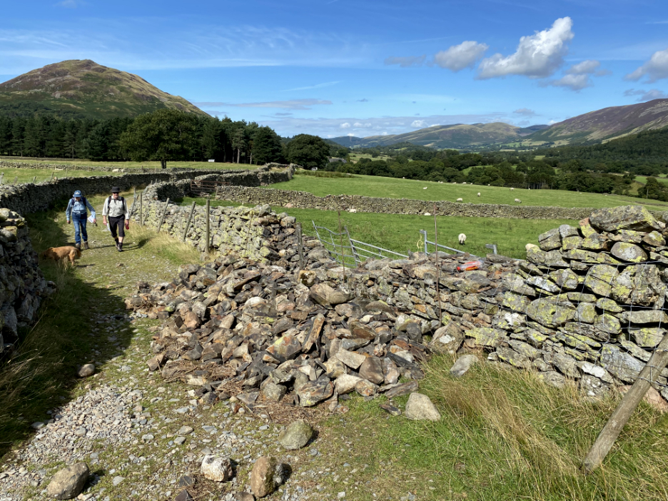
Proceeding up the land past some recent wall repairs. To fix the stone wall properly one first has to take down all the unstable stones . . .
Just around the corner, the dry stone waller has just finished his previous repair . . . you can hardly see the join !
We stopped next at the fields of Bargate Farm, the buildings of which were destroyed by fire in the early 1900's, the fields of which are now incorporated into those of Kirkhead Farm. The farm featured a fulling mill and this field is named on the old maps as "Tenters" implying the drying area for 'fulled' or 'washed and processed' cloth. The enclosure seen here and mentioned on the O.S map could be to do with that, or an even older fortified enclosure dating back to medieval times.
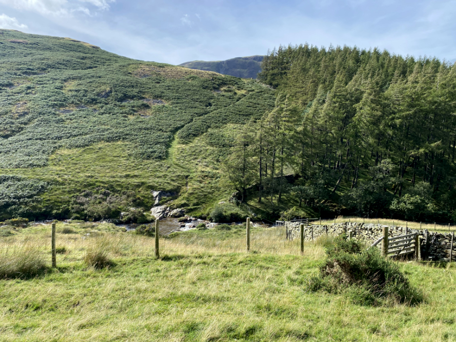
We walked on up the lane to the edge of the farm land and to what I know as "Harry's Pool". This was the site of an old weir and water leat that would have fed the water that powered fulling mill at Bargate.
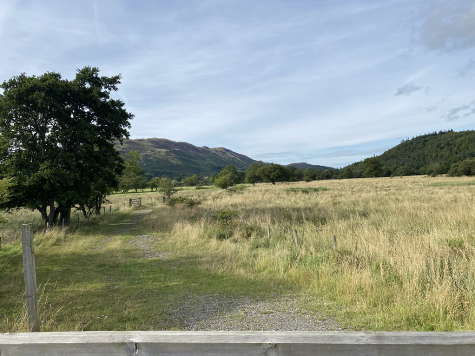
We then retraced our steps and walked the bridleway that follows the old enclosure boundary.
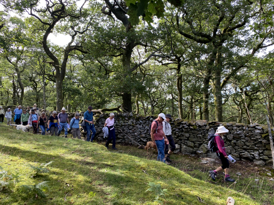
The woodland, known as Flass (white) Wood is an ancient oak woodland and may owe it's long term existence to the commercial use of the timber as a raw material for charcoal burning in the distant past.
- - - o o o - - -
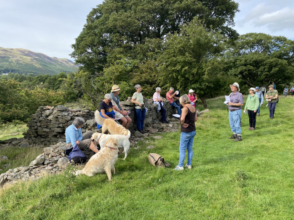
Across the boggy footpath onto the headland known as The Peel. This is thought to be part of an old deer park and though Peel implies a wooden structure, there is an old ruined stone house on the headland.
The building could have been an old farm, part of a small holding dating back to the 1500's, but Derek wouldn't commit himself on that. It was last inhabited in the early 1900's. The 13th century landowner, Thomas de Lucy, had a 'seat' somewhere in this area, either here or at low Park, but the exact site of his grand family home is not known.
The raised area of the Peel would have provided a fine viewpoint in terms of prestige and protection. Peel farmstead sat above a moat which enclosed the promontory, but that moat is thought to be of a much older date. It is possible that the headland could have been the island known as Sleningholme at one time as it would be an island today if the lake level was just a few feet higher. It was thought to be an area of some importance during the battles of the Scottish incursions of the 1300's.
Back towards home now as we cross the bridge over Park Beck. Derek explains that the meadows we are about to pass had a history of their own.
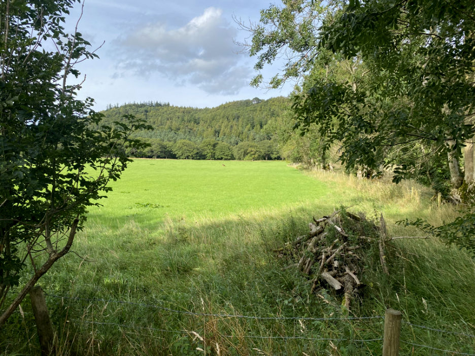
The better land to the left tended to be arable land for growing crops for the peasant families of the area. The poorer land to the right nearer the river, areas more specific for growing crops for animals to feed on during the winter months. The direction and shape of the fields hints at ancient layouts for ploughing, with the lane being the 'headland' where the oxen and ploughs were turned.
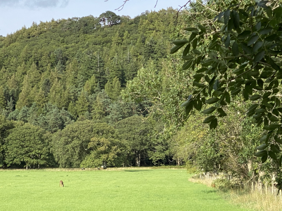
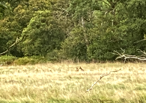
Many of those river-side fields have been 'improved' over time and now provide good year round grazing for animals. Today my eye was caught by a brown dot in the distance . . .
For the first time on a long time I spotted a Roe Deer grazing on the open fields of the valley.
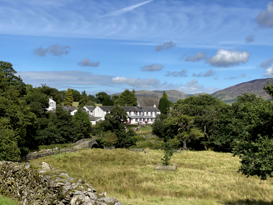
As far as the valley history is concerned, there was an important period of lead mining in the early 1800's but once the lead mines closed, the farms began to amalgamate, a process that continues to this day. Improved transportation over the centuries meant that subsistence agriculture ended, but the village of Loweswater never really embraced any long term industrial or commercial aspects once the wool trade fell away, so now it is a mixture of tourism venues like the hotels and pubs, larger livestock farms and private homes of limited commercial significance. - - - o o o - - - A big thank you to Derek Denman and the organisers of today's walk, for the historic background to where most of us walk and live today. More information can be found at the Lorton and Derwent Fells Local History Society website. Derek has published a booklet, on sale at the Lorton Shop, if you wish to repeat this interesting walk in your own time. - - - o o o - - - |
Technical note: Pictures taken with my Panasonic Lumix Gx8 Camera or my iPhone 11pro.
Resized in Photoshop, and built up on a Dreamweaver web builder.
This site best viewed with . . . looking to the future yet with an eye on the past.
Go to Home Page . . . © RmH . . . Email me here
Previous walk - July/Aug - Family Summer Selection
A previous time with the society - 24th April 2022 - Newlands and Goldscope - 20th October 2013 - Local History in 20 Objects
My next walk - 27th August - A Bog House Walk
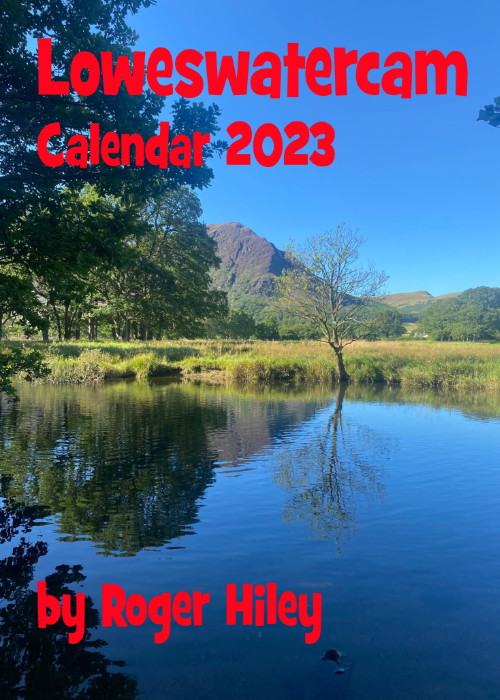 |
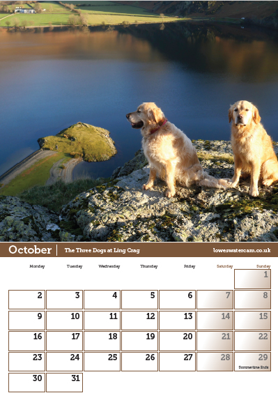
I am delighted to offer you the chance to buy The 2023 Loweswatercam Calendar. On sale now ! For the 14th annual edition of the calendar we have been looking back at the year to bring you twelve months of Loweswater pictures and Cumbrian scenes.
Click here or on either picture to see the full details. £12 a copy (plus postage + packaging if required) £1 of every calendar sold goes to support the Air Ambulance and Cumbrian Mountain Rescue.
|
 |