![]()

Remember: Press F11 for a full
screen view of this page.
Web Counter when published 1 670 130
|
|
|
Remember: Press F11 for a full
screen view of this page. |
Web Counter when published 1 670 130 |
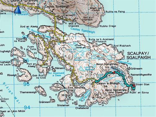
| " Outer Hebrides 2019 - 5 - Scalpay and Eilean Glas Lighthouse"
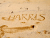
Date & start time: Wednesday 15th May 2019. ( NB 141 043) Location of Start : Bun Abhainn Eadarra, (Bunavoneader), Tarbet, Isle of Harris, UK. Stayed at : Number 4 Harris, self-catering for the week. Places visited : Scalpay, Outerend and Eilean Glas Lighthouse Walk details : 3.5 miles, 500ft of ascent (due to undulations) 2 hours. With : Ann and our dogs, Dylan and Dougal. Weather : Fine weather with a slight breeze. |
© Crown copyright. All rights reserved. Licence number PU 100034184. |
|
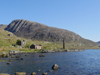
After a leisurely morning for ourselves and the dogs, we embark on a visit to another island, this time Scalpay, the outer guardian of East Loch Tarbet. The lighthouse on its outer end was the first to be built on the Hebrides and is the target for this walk.
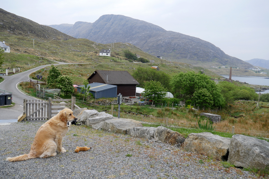
A morning relaxing for us and also for Dylan who is out playing toys with his toys.
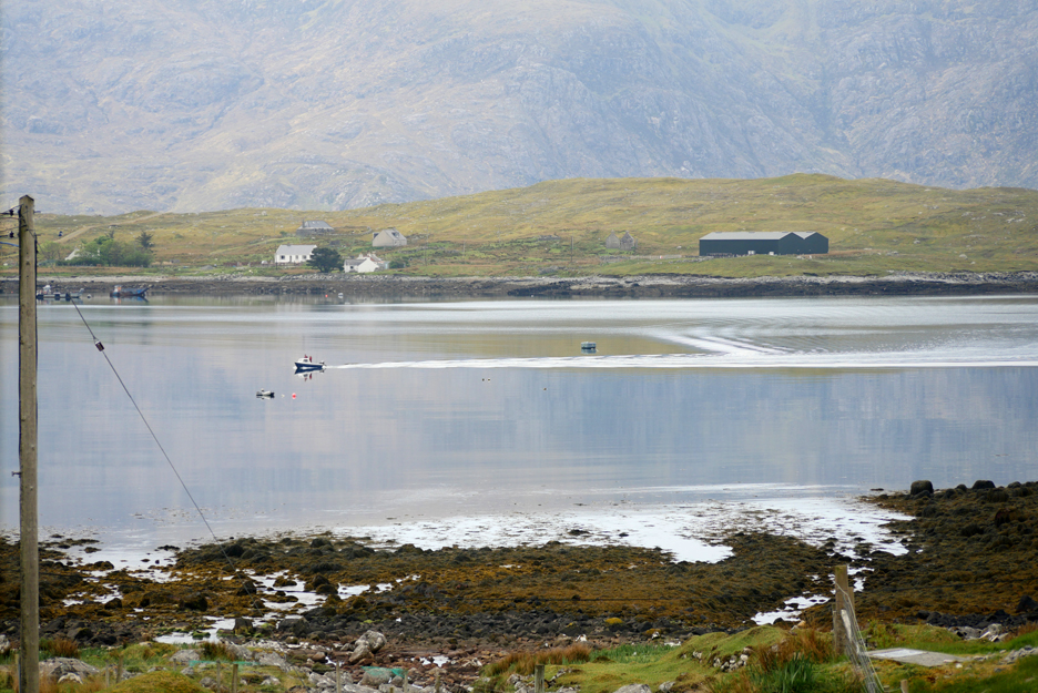
A small boat returns from fishing and will soon pick up his moorings in the bay ahead of us. - - - o o o - - -
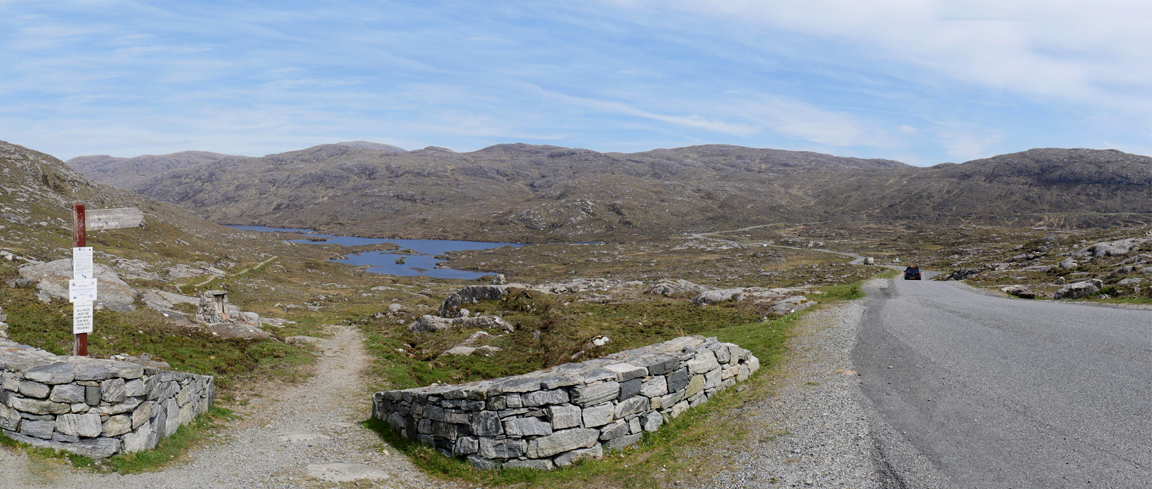
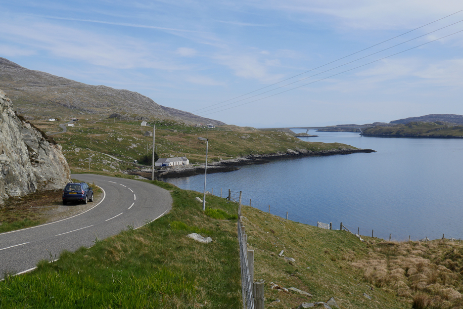
After lunch we take the road to Tarbet, then head out east on the minor road to Scalpay. The signpost here indicates the start of the footpath along Glen Lacasdail, a four mile hike through to Loch Maraig (where we accessed our Reinigeadal walk earlier in the week). Our route today continues along the road to the right, back down towards the coast.
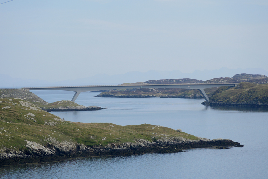
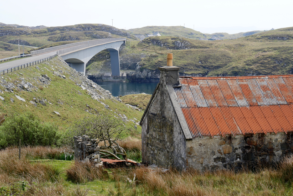
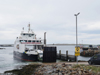
In the old days it was a single track road and a ferry to the island. There is now a wide road and a bridge that connects the island to the mainland.
Scalpay has always been a more prosperous island due to its potential for good anchorages and safe fishing The bridge was opened in 1997, part of the Western Isles Council's long-standing policy of securing the long term viability of island communities, by replacing ferry links to small islands with causeways or bridges.
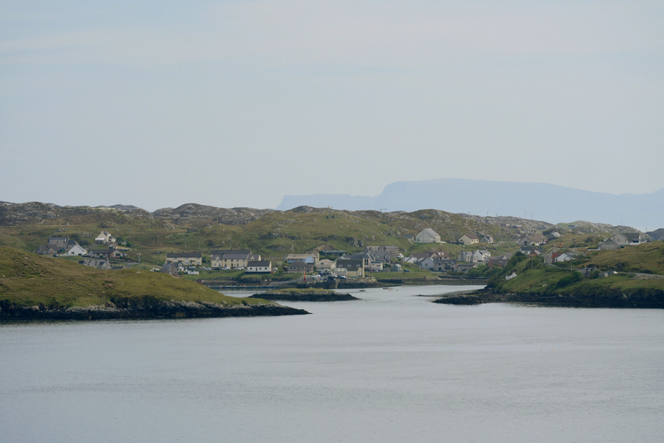
Scalpay's North Harbour . . . seen from the mainland.
It is not an optical illusion, the bridge does actually slope uphill in order to reach the other side.
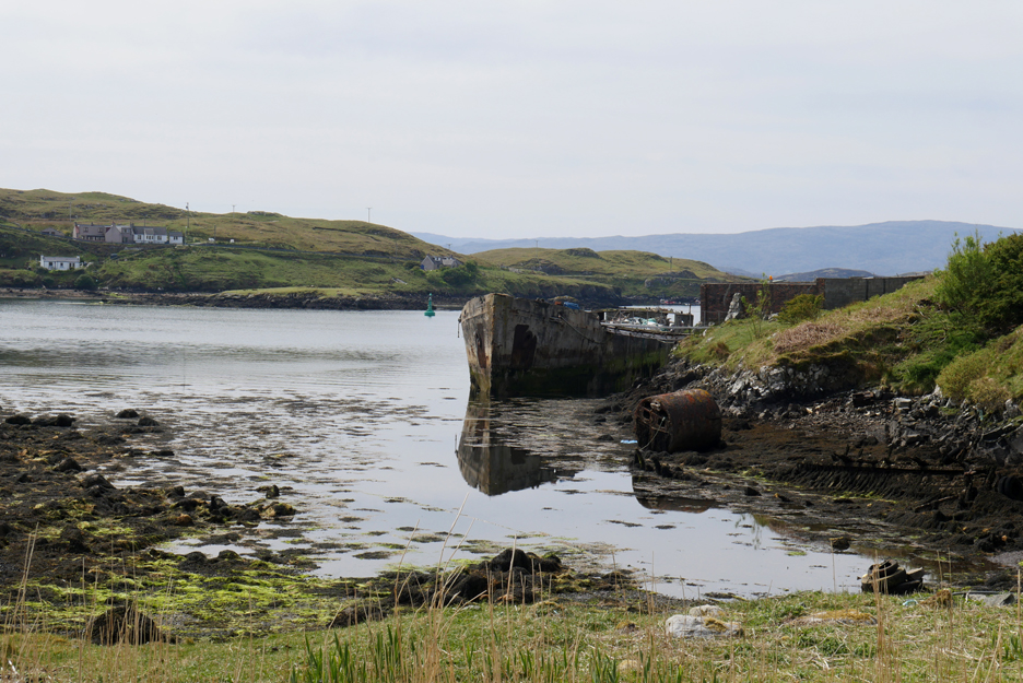
Old boats lie broken in Scalpay's North Harbour bay.
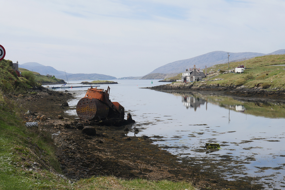
An old steam boiler litters the creek . . . what happened to the boat is unclear. Maybe it was the one around the previous corner ?
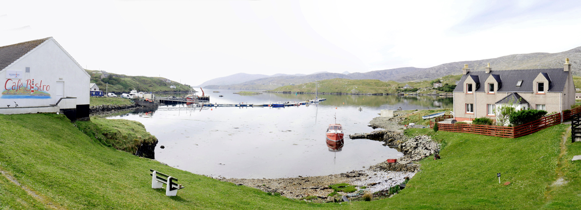
The township of North Harbour and the modern, top-rated Cafe Bistro The line out across the bay is a relatively new small-boat pontoon, suitable for visitors and locals.
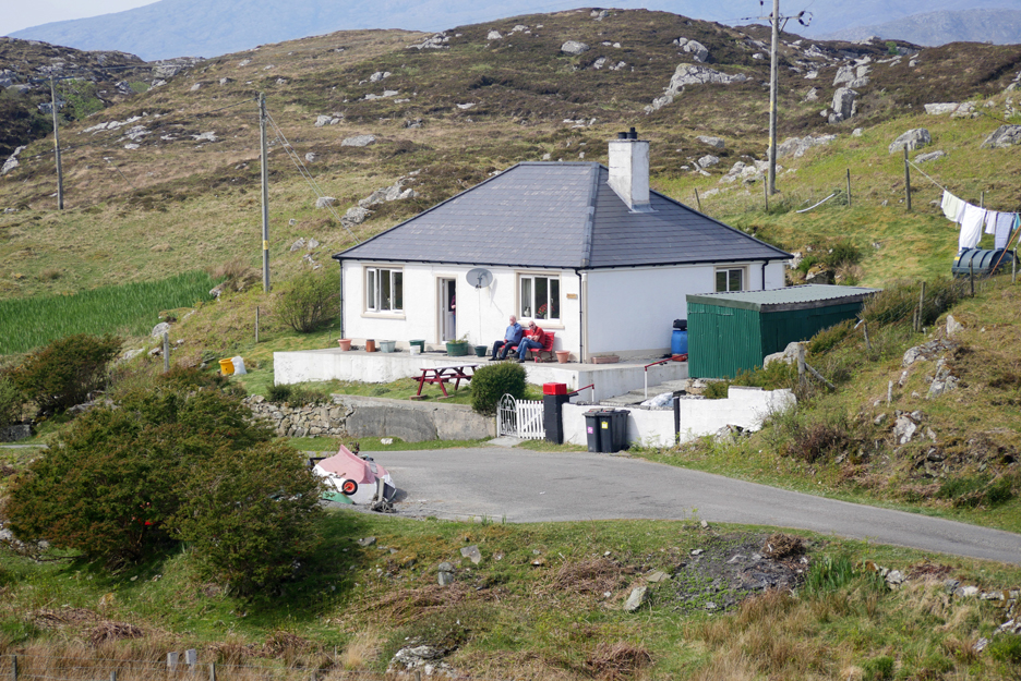
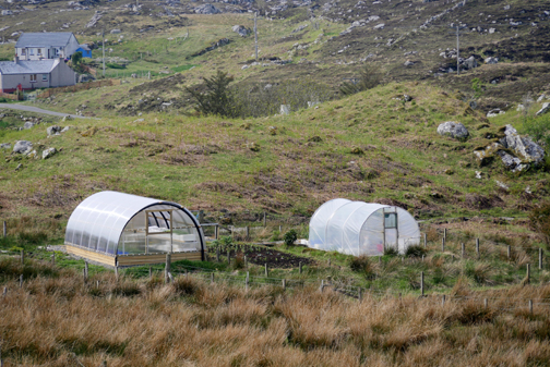
A well maintained (and lived in) cottage as we reach Outerend after our short drive across the island. Below the cottage was an example of some active gardening, with an open bed, a poly-tunnel and a smart new perspex greenhouse.
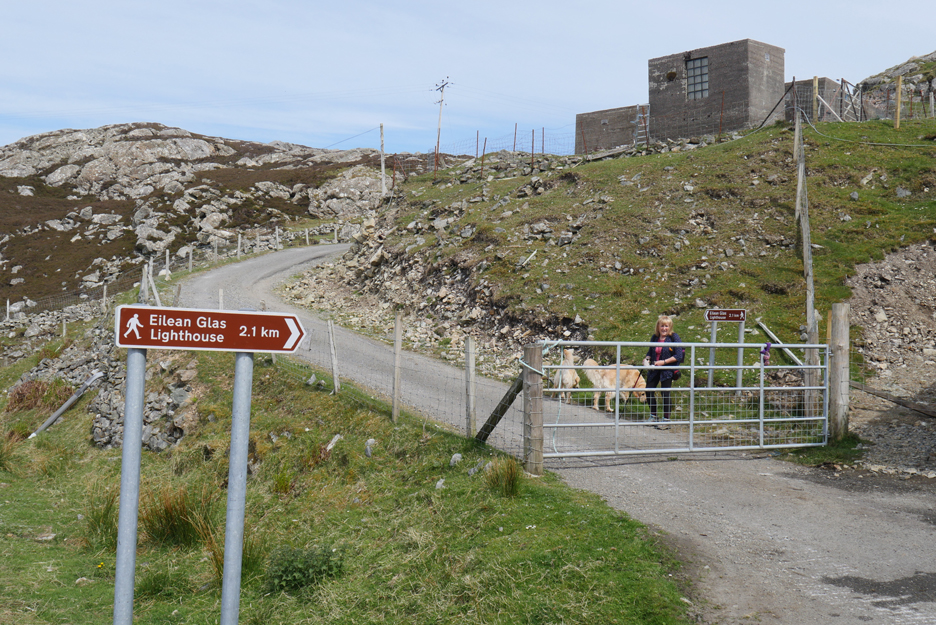
A signpost and parking area near the end of the road sees us easily onto the correct starting point for our walk.
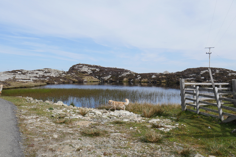
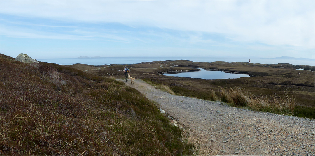
Our route across the island will be on a good track but will weave both in and out and up and down between the lochans and rock outcrops.
The unmade road changes to a track and later to a footpath, but the route is always clear.
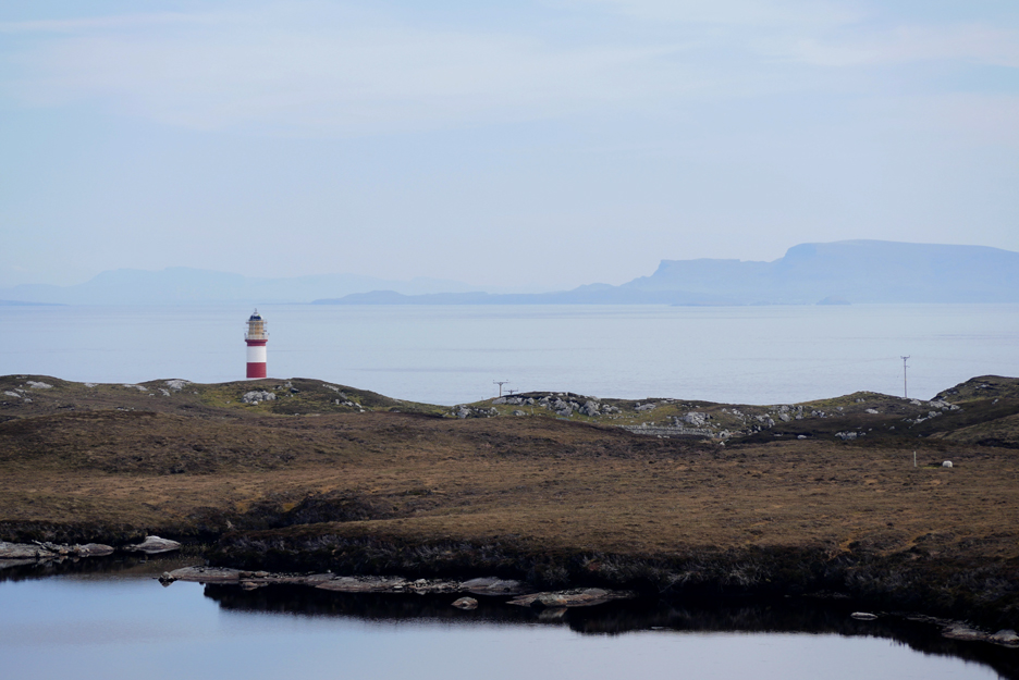
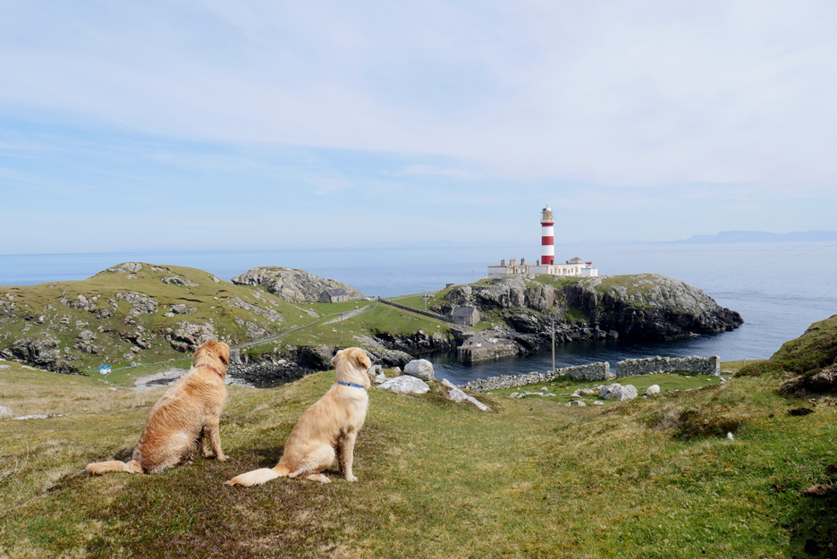
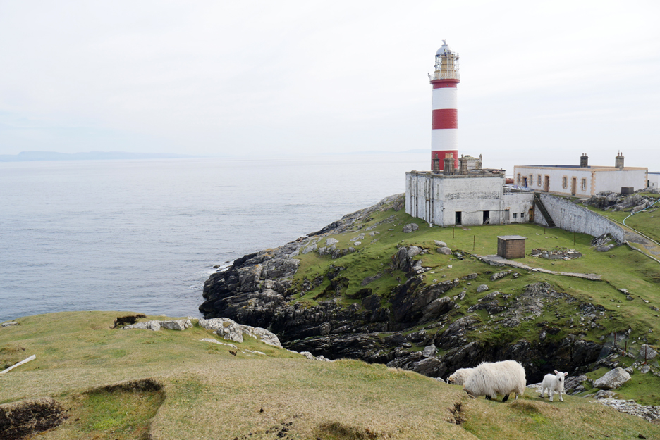
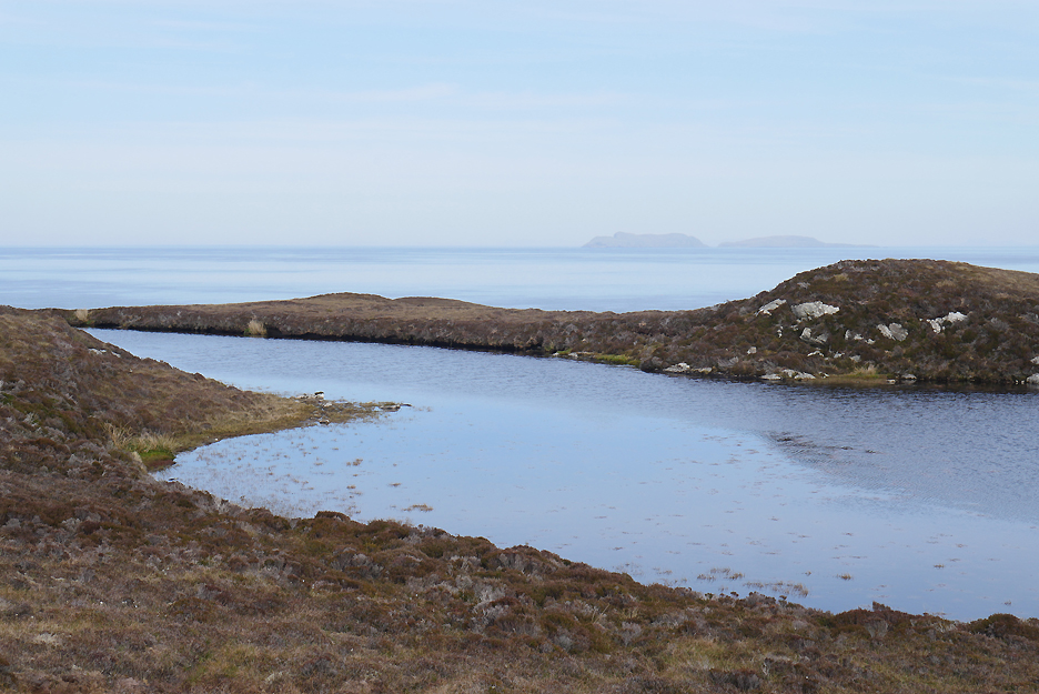
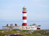
The lighthouse we are aiming for is set against the backdrop of the distant cliffs of the Trotternish Peninsular on the Isle of Skye, some eighteen miles away.
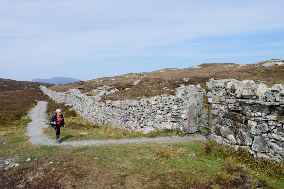
The final extended headland is surrounded by a substantial dry stone wall.
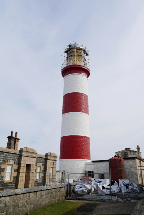
On the other side is the first full view of the lighthouse.
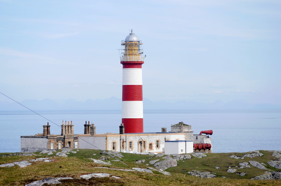
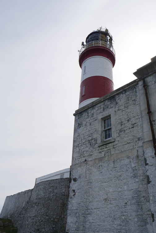
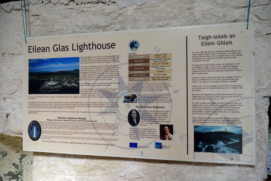
The first tower was built courtesy of Alex McLeod of Harris, the owner of Scalpay, and the light first shone on 10 October 1789. The present tower was erected in 1824 when Robert Stevenson was sole engineer to the Board . . . Northern Lighthouse Board
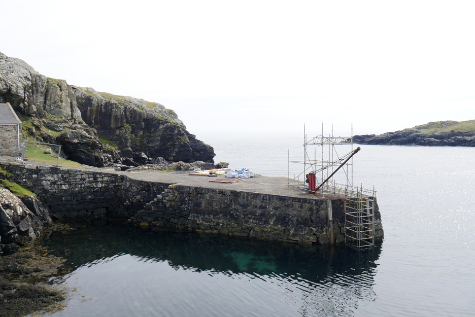
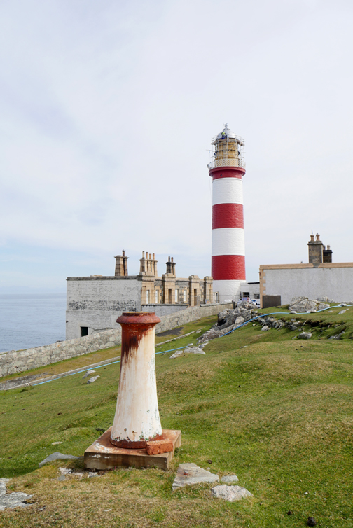
The inlet behind the lighthouse offers a sheltered, relatively deep-water harbour.
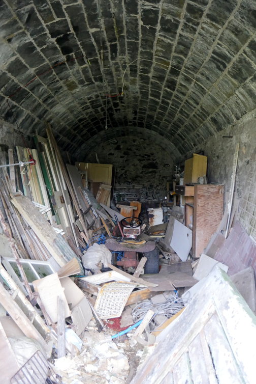
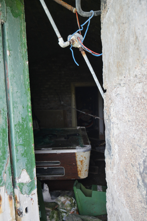
The Stevenson light sits on a large accommodation base with barrel-arched basement rooms below.
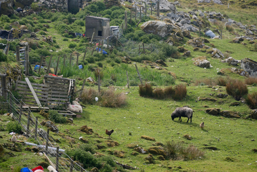
One of the more distant outbuildings has been adopted as a bothy and is also the base of the local whale watching group.
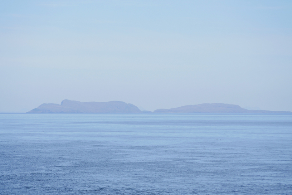
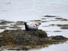
The Minch between ourselves and the Shiant Islands some eleven miles away. The area is famous for Dolphin, Minke Whale and occasional Humpback Whale, amongst other wildlife sightings. We sat for a short while but didn't see any, apart from a few distant marine birds !
There was a round trip option on a more minor path back to Outerend but we kept it simple and returned using the same track as we used on the way out . . . a fine local walk this afternoon. - - - o o o - - - |
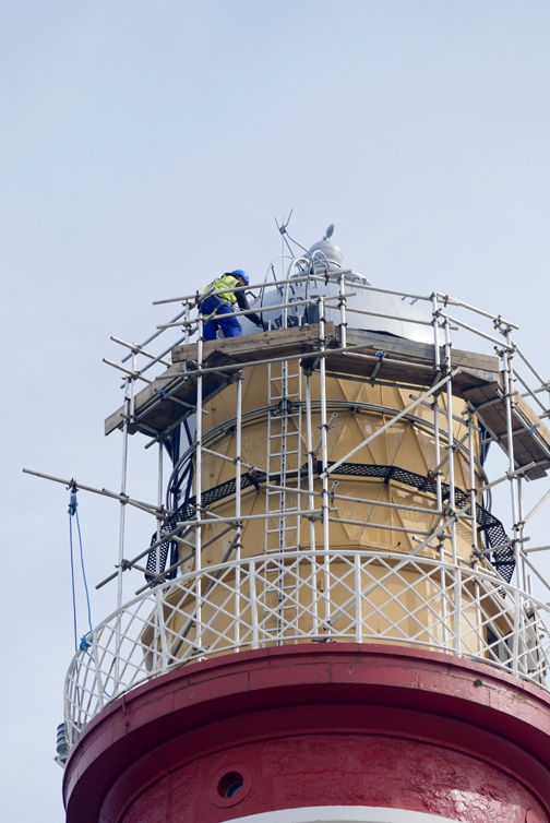
Technical note: Pictures taken with either Ann's Panasonic Lumix Tz60 Compact, or my Panasonic Gx8 mid-range System Camera. Resized in Photoshop, and built up on a Dreamweaver web builder. This site best viewed with . . . clear weather to see the Flashing (3) White every 20 seconds . . . if you are on board a boat. Go to Top . . . © RmH . . . Email me here
Previous walk - Outer Hebrides 2019 - 4 - Horgabost A previous time in the area - 5th to 21st July 2005 An Icelandic Journey Next walk - Outer Hebrides 2019 - 6 - Callinish
|