![]()

Remember: Press F11 for a full
screen view of this page.
Web Counter when published 1 671 266
|
|
|
Remember: Press F11 for a full
screen view of this page. |
Web Counter when published 1 671 266 |
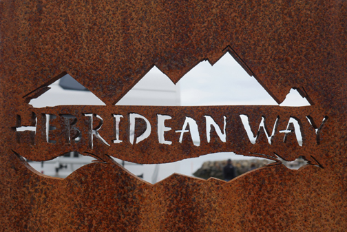
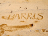
| " Outer Hebrides 2019 - 7 - Onward to The Uists "
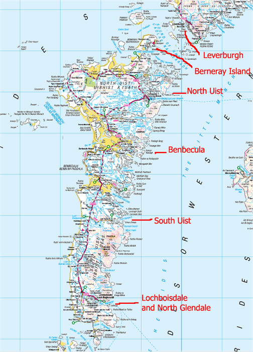
Date & start time: Saturday 18th May 2019. ( NB 141 043) Location of Start : Bun Abhainn Eadarra, (Bunavoneader), Tarbet, Isle of Harris, UK. Stayed at : Seann Taigh, South Lochboisdale South Uist, Hebrides, UK. Places visited : Leverburgh, Berneray, North Uist, Benbecula, South Uist, Lochboisdale. Walk details : Short walks on the way as we were travelling south. With : Ann and our dogs, Dylan and Dougal. Weather : Fine weather, somewhat overcast with a cool breeze. |
The walking / bike / driving route through the islands. |
|
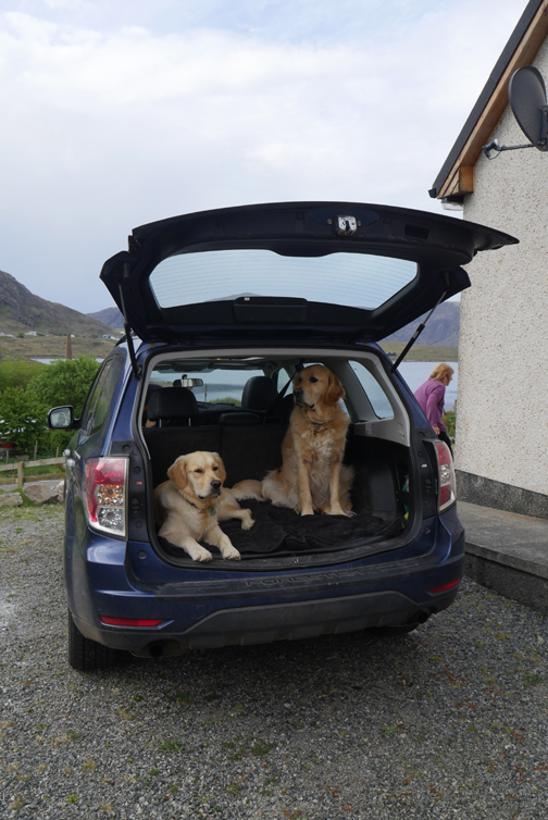
Saturday Morning, changeover day, and we're packing the car ready for our drive south. Time to load all our bags, boots and and dog food . . . the dogs load themselves into the car early . . . they don't want to be left behind.
The twenty mile drive will take us down to Leverburgh to catch the ferry to Berneray (following the only road) and then on down another seventy miles through the islands to North Glendale.
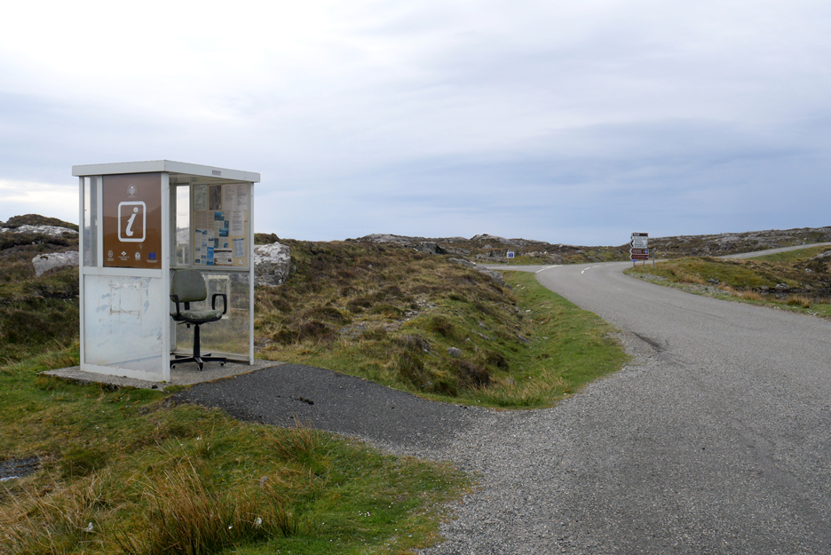
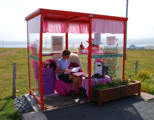
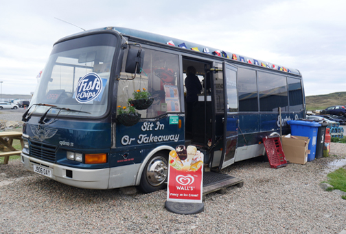
We've driven this way before but this time I stopped just after Tarbet to photograph the local bus stop and information point. Someone is obviously used to waiting for the bus . . . they've put their own office chair inside. - - - o o o - - -
- - - o o o - - -
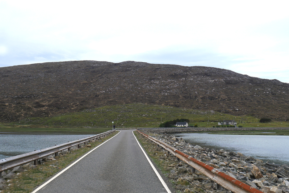
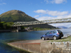
Across the head of the Luskentyre estuary on the causeway once more. The tide is in, all the golden sands are covered and it looks like a completely different place.
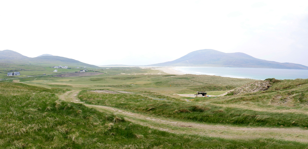
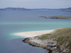
Scarista Bay as we head south beyond the Horgabost beaches. The large house, one from the left in the picture, is the Scarista House Hotel about which the book House by the Shore, by Alison Johnson, was written. It tells of her escape from urban life and how she set up the hotel many years ago.
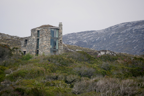
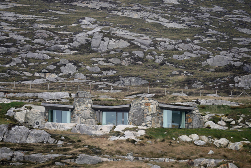
Since that book, and perhaps in some small way, because of it, the area became popular and there's a number of new holiday developments in the area, all tastefully done as in the holiday cottages above and the two pictured below.
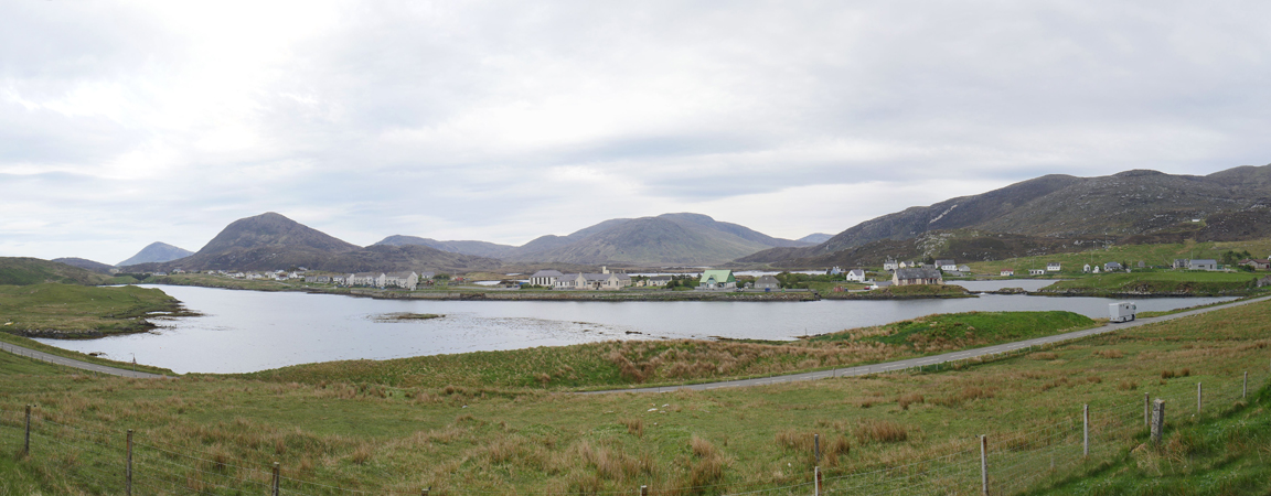
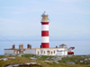
Toe Head . . . close up now as we approach Leverburgh.
The town is on a narrow coastal strip with a fresh water loch on this side and the sea on the other. It seems Lord Leverhulme wanted to encourage the locals to take up commercial fishing and the location of the old village by the sea was perfect to expand on the opportunities afforded by both the Minch and the wider North Atlantic.
The east end of the town generally faces the inlet accessible from the sea, at the mouth of which is the upgraded harbour and ferry slipway.
We've made good time down from Tarbet, so we drive the extra mile down the coast road towards Cairminis.
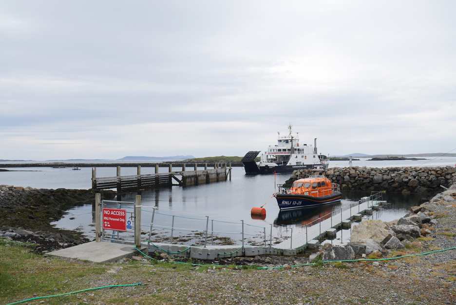
Time a plenty to exercise the dogs prior to boarding the ferry. Looking out across the Sound of Harris we saw the ship away in the distance and judged our return accordingly.
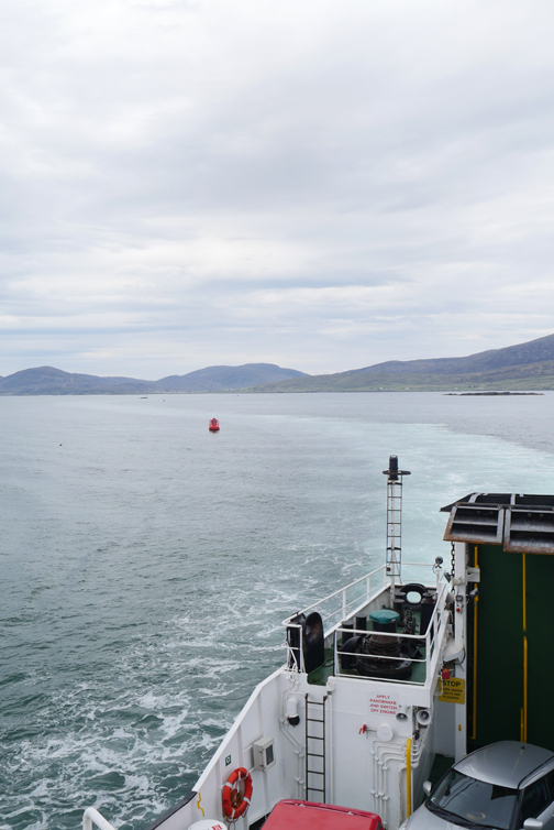
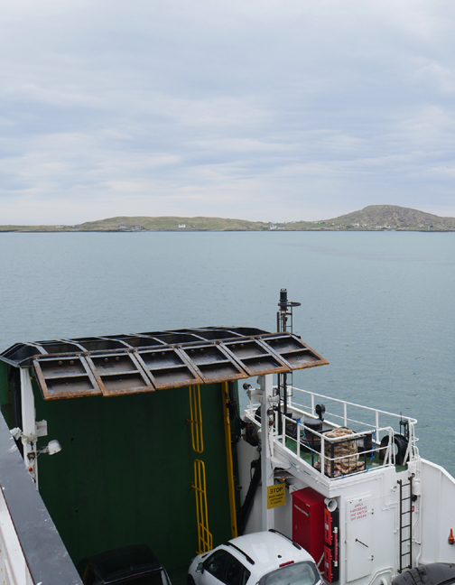
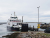
Here she comes . . . the ferry approaches the slipway. In front the Leverburgh Shannon Class, high speed Lifeboat lies ready and waiting for any offshore emergencies.
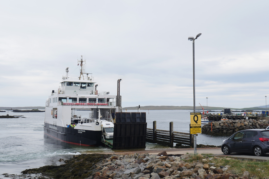
With the gentle rattling of steel on concrete, the bow door opens and the northbound passengers get ready to disembark.
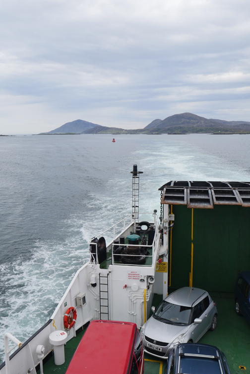
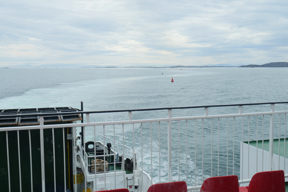
I know the Sound of Harries is relatively shallow . . . and there are lots of islands, some of which disappear with the high tides, but I hadn't realised the task facing the Captain and Navigator on this short but twisting journey.
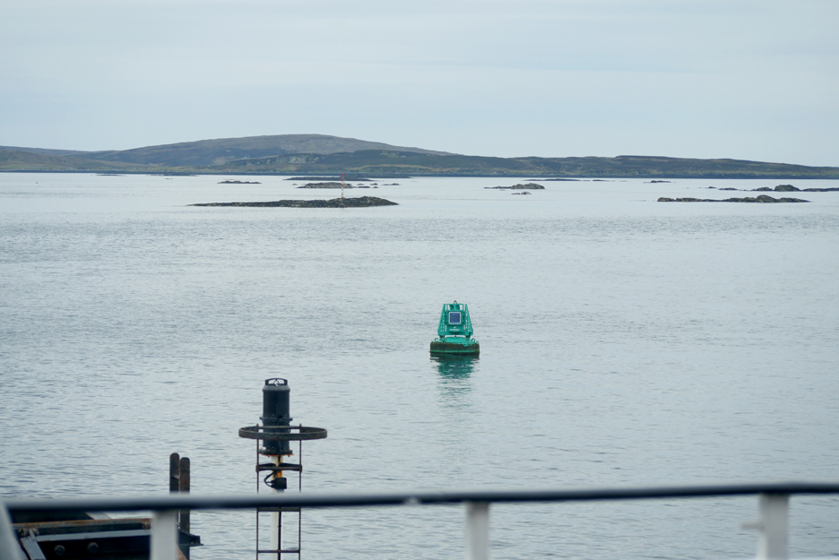
The route is well sea-marked with port and starboard buoys and though the vessel only draws 3 metres of water, I still wouldn't like to get distracted if I was navigating the vessel through these shallow waters.
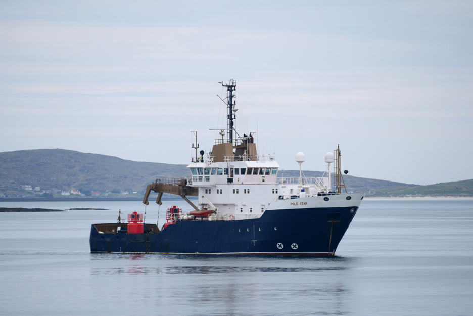
The boat seen in the distance in the last photo is the Trinity House vessel, The North Star, whose job it is to check and maintain the sea marks around the coast of the UK.
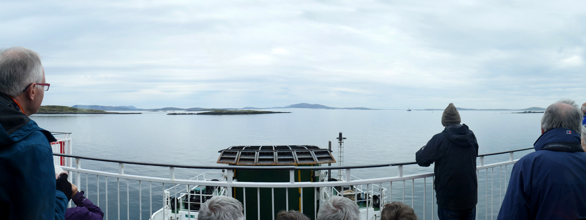
If you look closely you can see how our wake has deviated as we slalom our way through the channel.
Click here or on the photo above for a larger Loweswatercam photo of the sea chart.
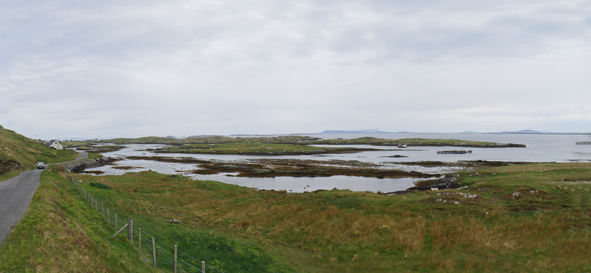
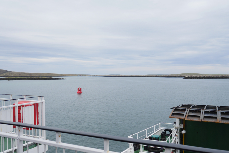
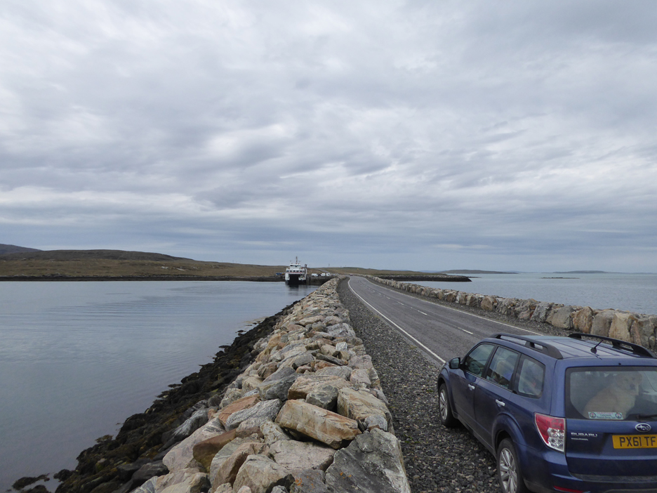
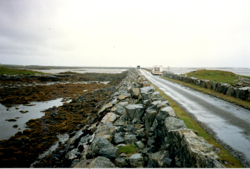
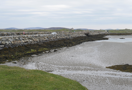
One last red channel marker as we approach the causeway between Berneray Island and North Uist. The harbour is off to the right behind the closer rocky breakwater.
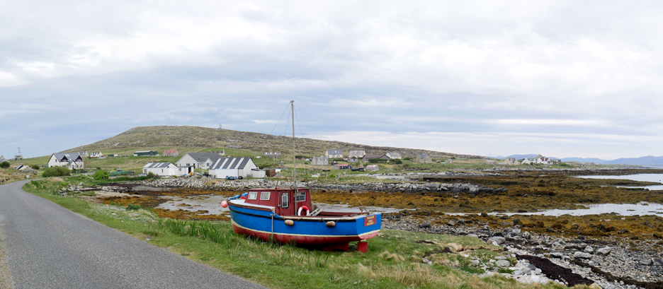
We are called to the cars so no picture of our landing . . . but before we leave we'll drive a short distance onto the island of Berneray to appreciate a little of its scenery.
Over the causeway to the 'mainland' of Uist. In the time we've been sight seeing, the ferry has moved to its secondary mooring, presumably for a late breakfast or an early lunch.
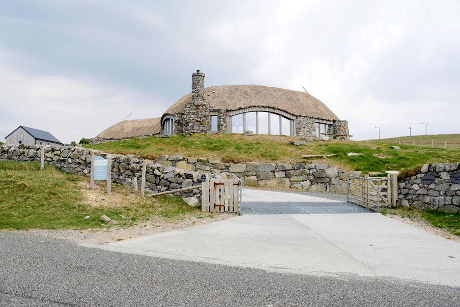
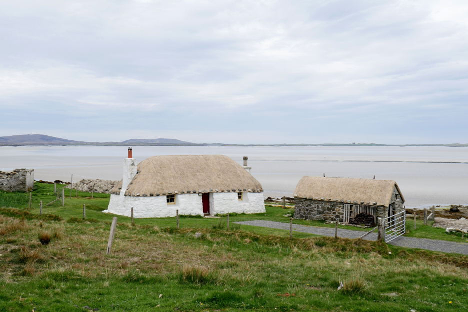
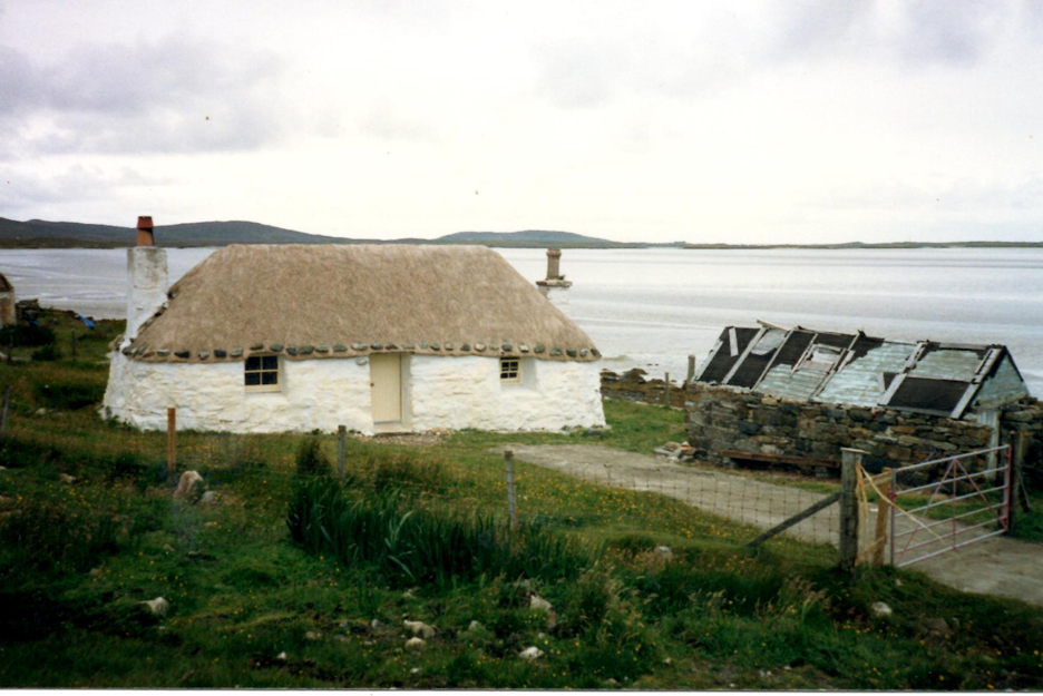
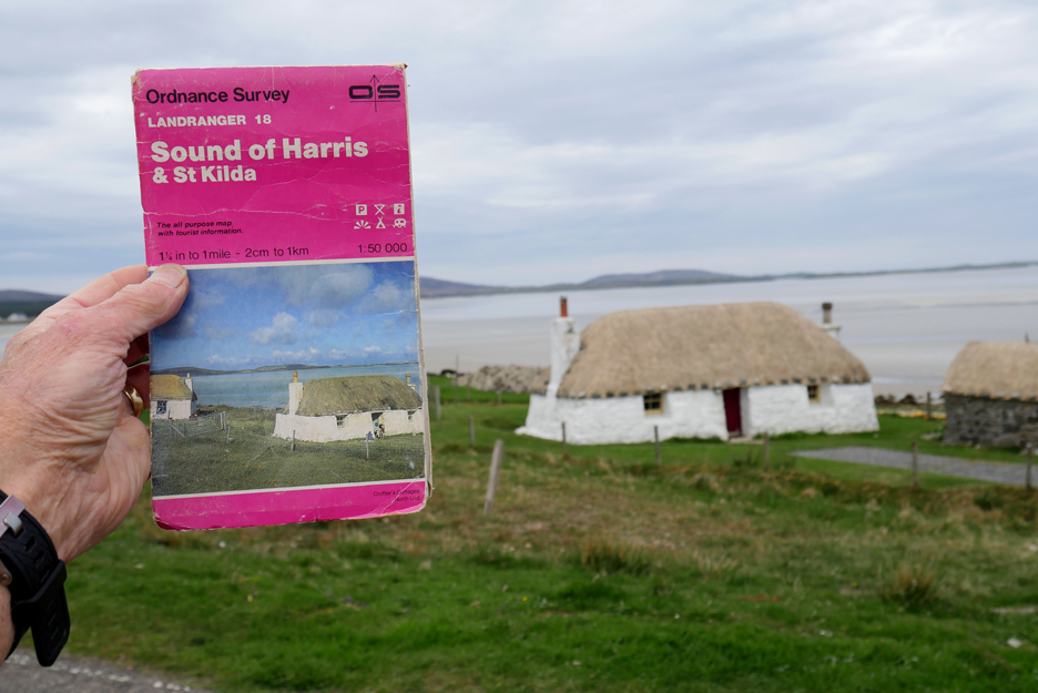
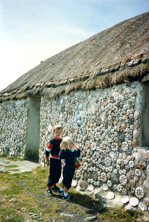
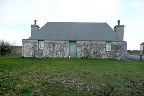
We take the longer, scenic route around North Uist and pass this rather nice thatched Black House. Technically it is not a classic 'black house' as it has chimneys to let the smoke out. The thatch is real and for that it is a well known local landmark.
In fact we searched this property out on our last visit. The house is equally well maintained . . . but the outbuildings are looking better than in the 1980's.
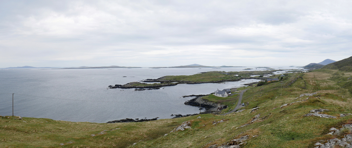
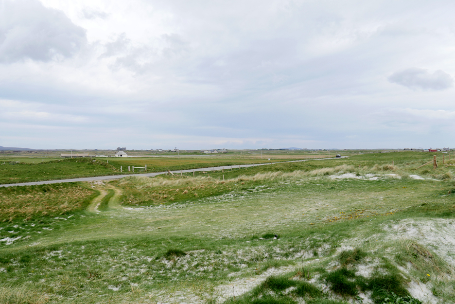
The scenic western route around North Uist heads back towards the straight and narrow route south. Ahead is Mount Eaval, the highest part of North Uist.
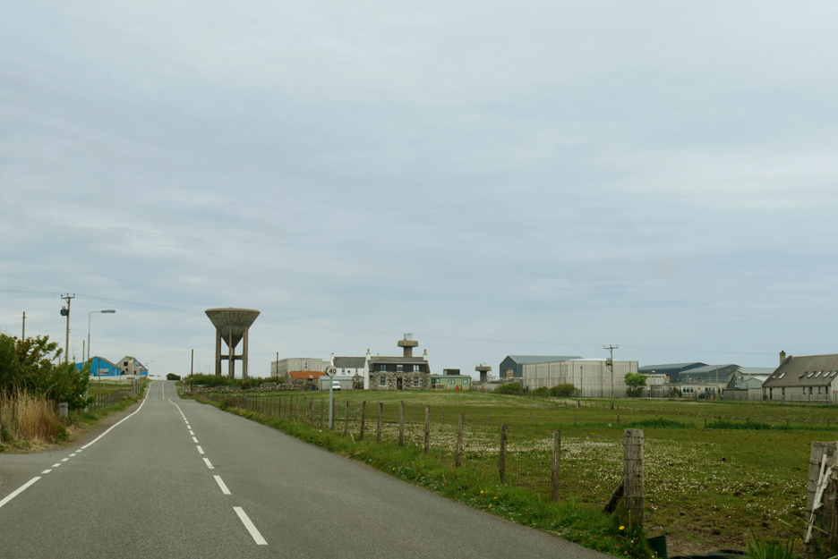
Before the causeways the crossings were tidal . . . however these causeways have now been here for some time and were important to support the wartime military Benbecula Airport on the adjacent island.
The airport still exists , as does the plethora of 1970's housing and the old Naffi Shop, albeit under private ownership now. We stopped off at MacLean's Bakery for supplies and at Maclennan's Supermarket for a general shop. I must say that although the supermarket was not over large, it held a better range of stock than our local Sainsbury's and at better prices than our local Aldi. Someone down here in Cumbria needs a Hebridean holiday to see how to run an exemplary supermarket !
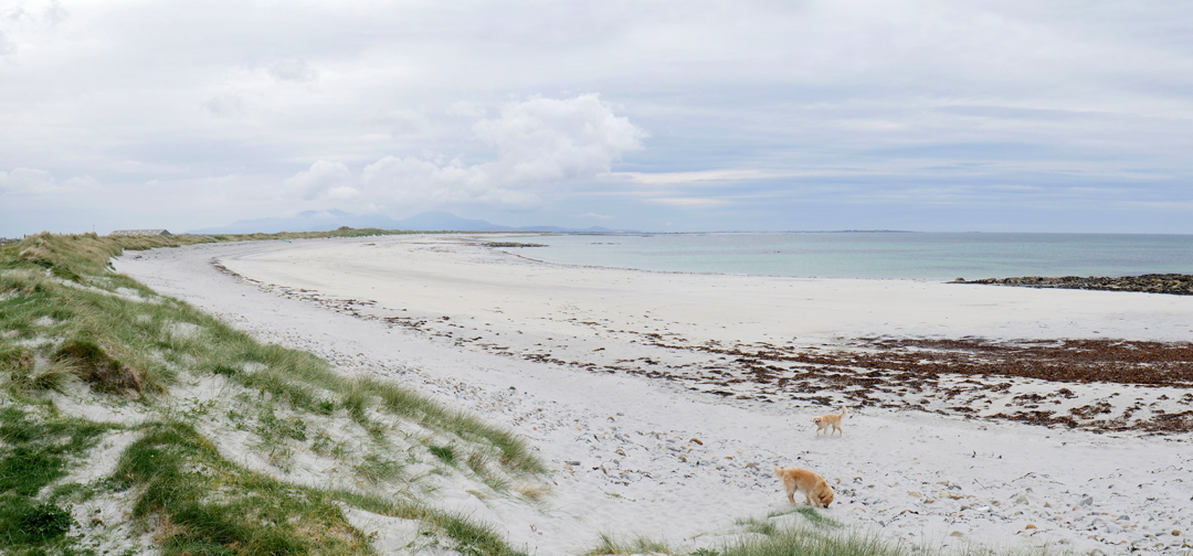
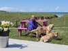
All this travelling is no good for the dogs, cooped up in the back of the car, so we took the opportunity on the wide, open Benbecula beaches to give them a good run.
After an excellent take-away lunch of sandwiches and wraps from the shop, we were on our way once more.
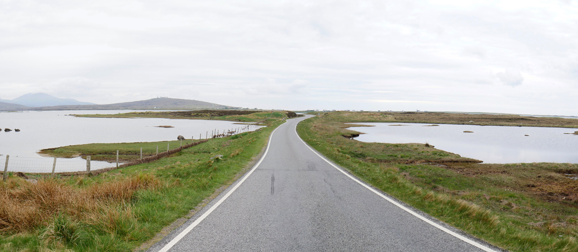
Not so much a causeway . . . more dry ground between two lochs . . . as we head south.
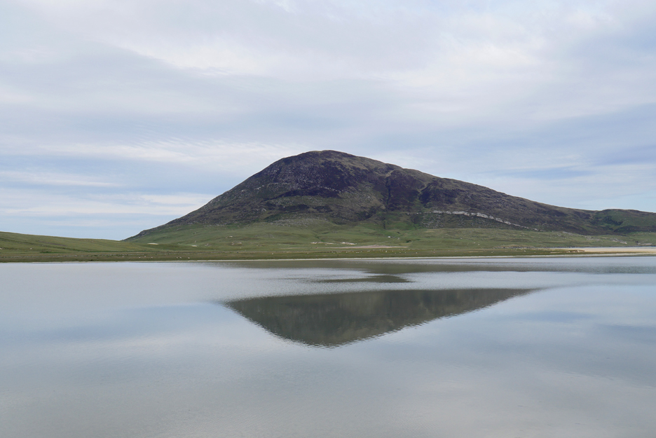
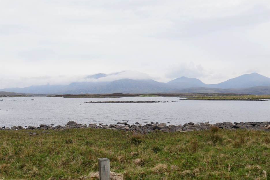
To our left, on the way down the island is Ben Mor, just topping the 2000ft mark and with a drift of cloud across its face.
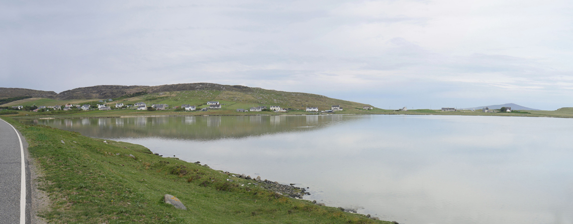
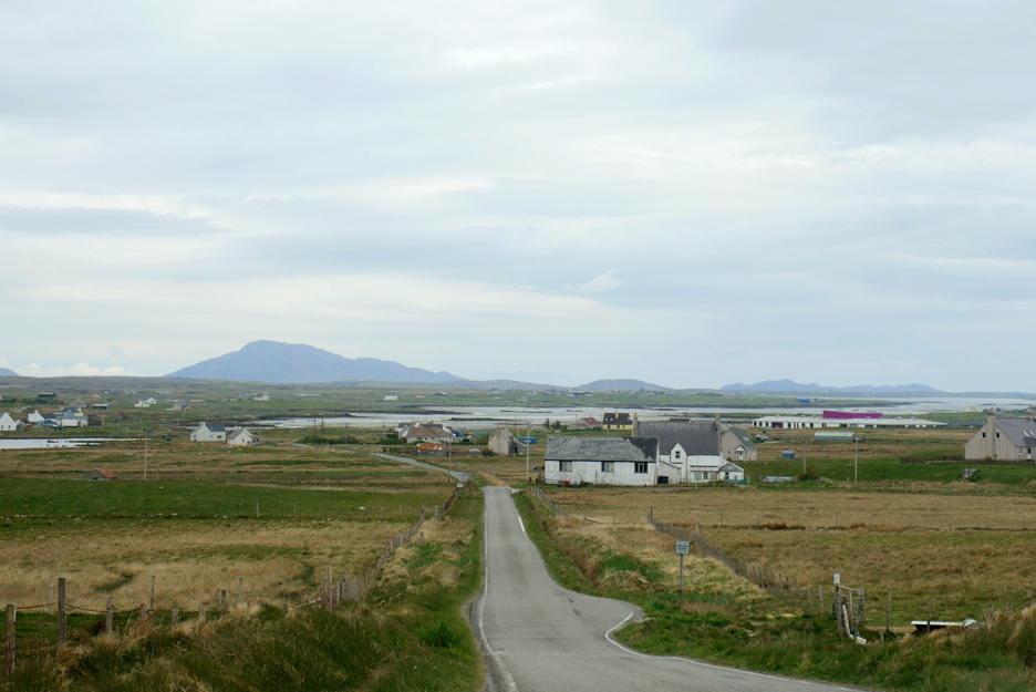
When the high hills cease to be so high, we take a left turn and head down the southern side of Loch Boisdale . . .
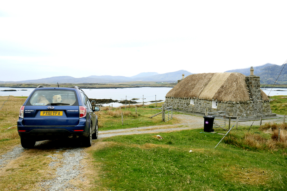
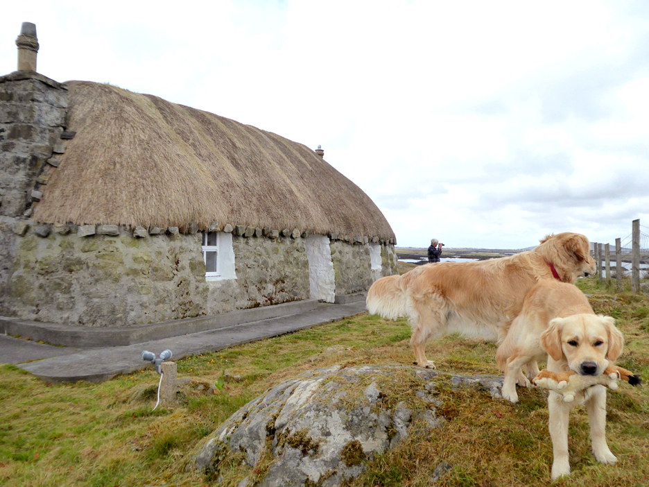
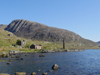
. . . and arrive at our home for the next week . . . Seann Taigh a self-catering thatched cottage. Seann Taigh means 'old house' but inside it has been converted to modern standards, a perfect holiday retreat.
Dylan and Dougal settle in and explore the garden area.
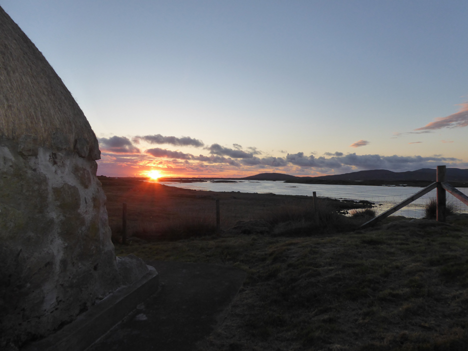
As the day ends, the skies clear and we enjoy a perfect Hebridean sunset.
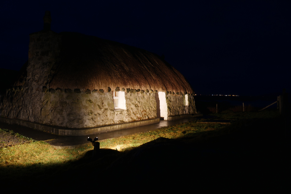
Outside lighting shows the cottage off at its best . . . I wondered what that second light switch by the front door was all about ! - - - o o o - - - |
||||||||||||||||||||||||||||||||||||||||||||||||||||||||||||||||||||
Technical note: Pictures taken with either Ann's Panasonic Lumix Tz60 Compact, or my Panasonic Gx8 mid-range System Camera. Resized in Photoshop, and built up on a Dreamweaver web builder. This site best viewed with . . . slightly less petrol in the tank but a week's supply of food in the fridge. Go to Top . . . © RmH . . . Email me here
Previous walk - Outer Hebrides 2019 - 6 - Callinish A previous time in the area - Sorry no photos on-line for this area. Next walk - Outer Hebrides 2019 - 8 - Sean Taigh
|