![]()

Remember: Press F11 for a full
screen view of this page.
|
|
|
Remember: Press F11 for a full
screen view of this page. |
|
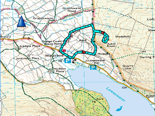
" Askill Knott from the Grey Phone Box " Date & start time: Tuesday 28th November 2017, 3.15 pm. Location of Start : By the grey phone box, Loweswater , Cumbria, Uk. ( NY 118 225 ) Places visited : Askill, Mosser Track, Askill Knott back via Grange Lane. Walk details : 1.75 miles, 475 feet of ascent, 1 hours 15 mins. Highest point : Askill Knott 920 ft - 284 m. Walked with : Ann and our dogs, Harry and Dylan. Weather : Lovely blue sky afternoon. Cool, but not too cold. |
© Crown copyright. All rights reserved. Licence number PU 100034184. |
|
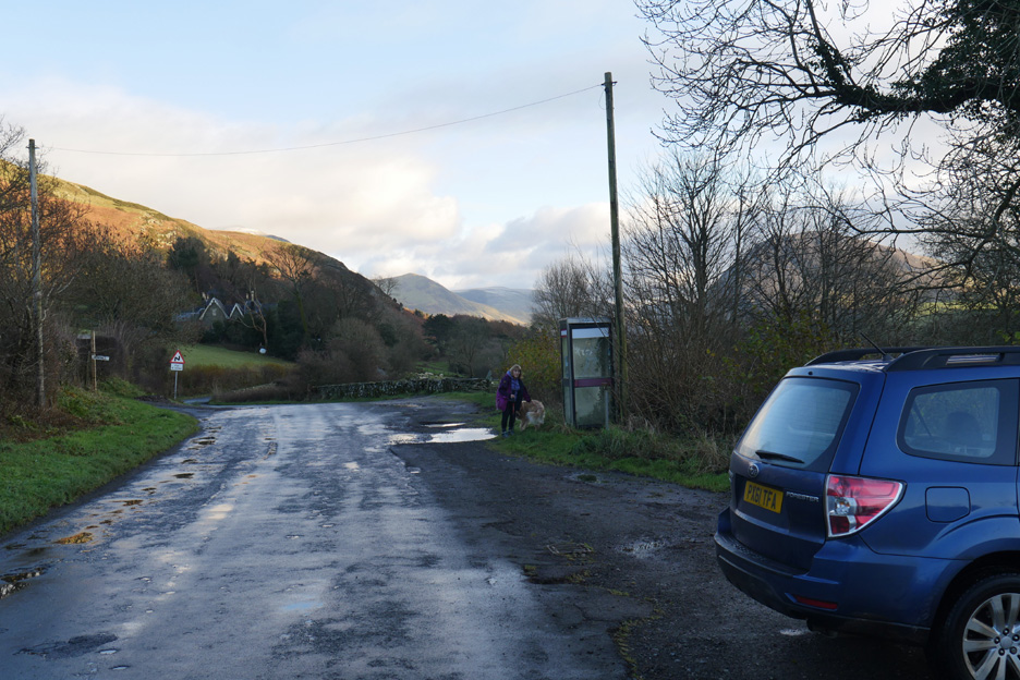
We often get asked 'where Loweswater Lake is' when visitors stop outside our house. The confusion arises from the "National Parks Suggested Walks" leaflet which suggests they start at the phone box by the lake. The one they want is the grey box at the far end of the lake . . . ours is red and at this end. Today we make a change and we also start our walk from the grey one . . . at the other end.
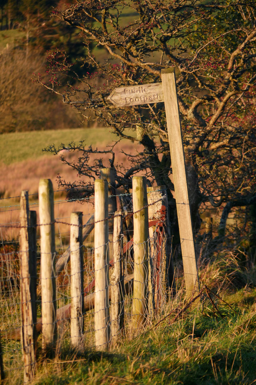
Parking for ten or more at the other phone box . . . the start of the National Park suggested walk. We'll be different and head up the track to Askill Farm, signposted over there on the left. A quick word of warning : The grey phone box here is no longer in use and has no phone inside. There's no mobile signal either so in an emergency . . . find a local ! - - - o o o - - -
It's a cool afternoon, feeling cooler down here due to the lack of sunshine and the slightly damp air. It looks fine on the high fells but it will be arctic up there despite the sunshine . . . that's localised climates for you.
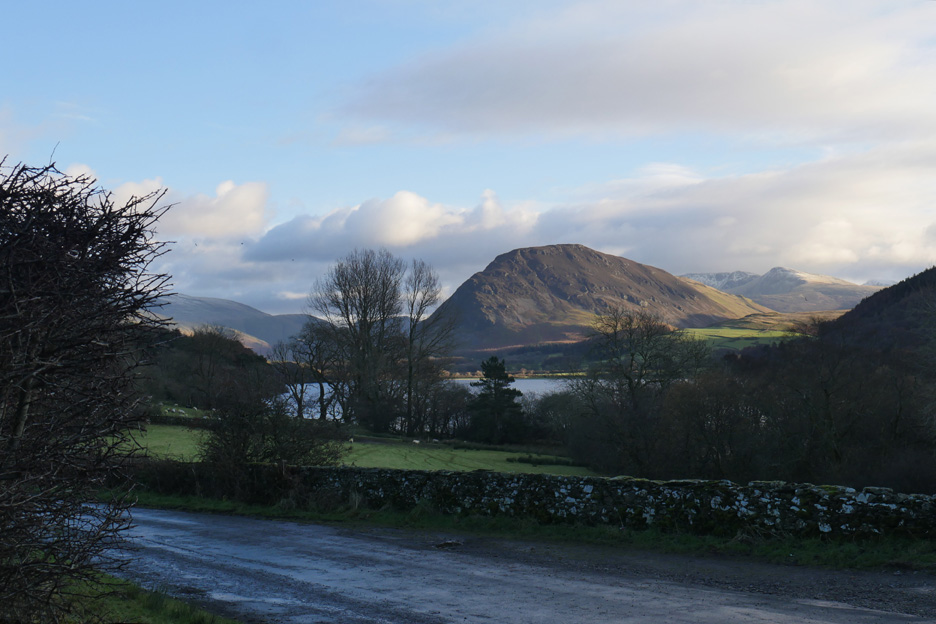
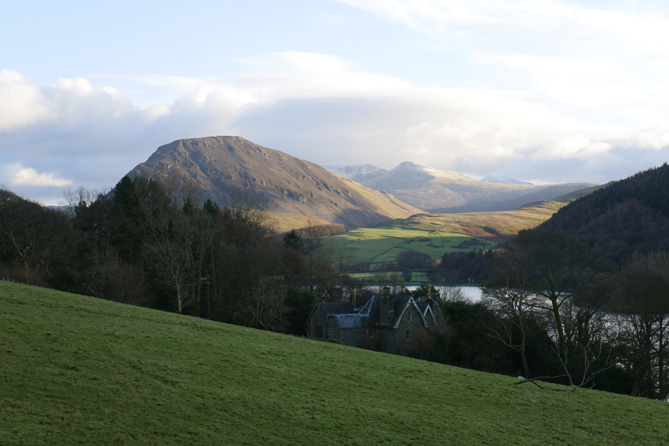
As we walk up the lane we can see Waterend Farm and Red Pike on the other side of the lake, above the gabled roofs of Loweswater Hall, a large but very private house.
Zooming in on Red Pike and High Stile . . . with Pillar just seen over the back.
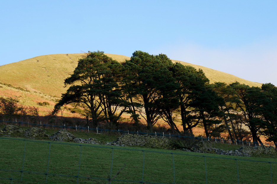
We take the bridleway directly ahead rather than the track to Askill Farm and approach the old Mosser Road from below. The pines are in shadow but Darling Fell is shining bright in the strong afternoon sun.
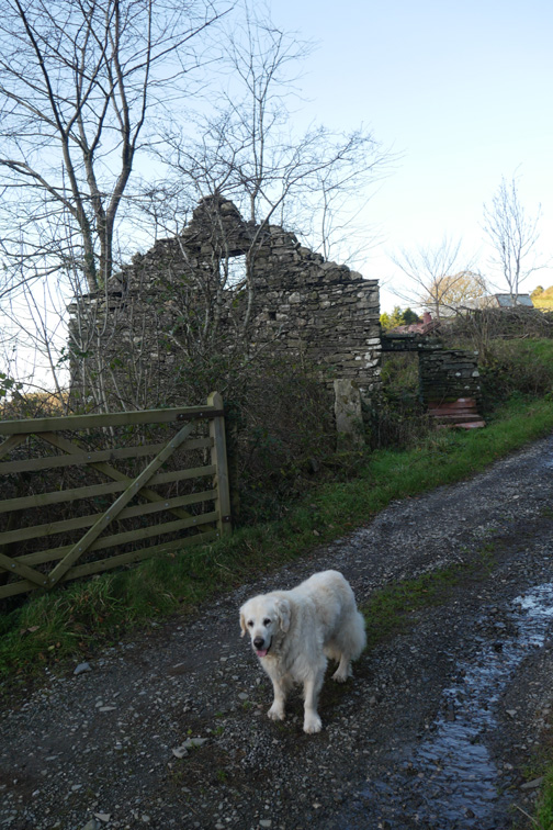
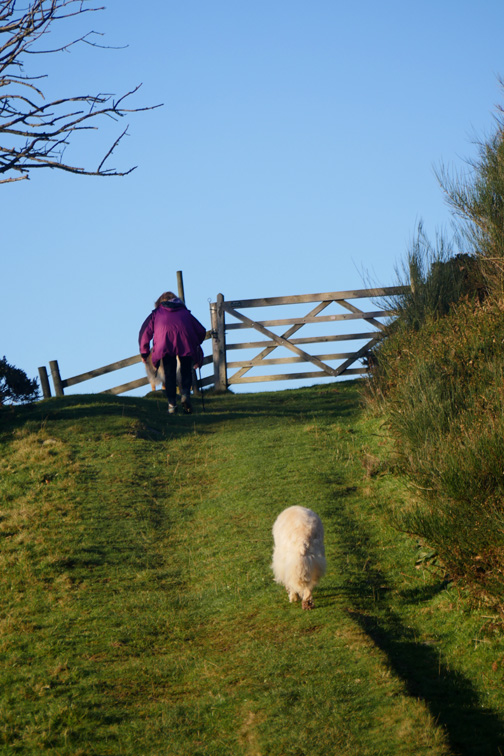
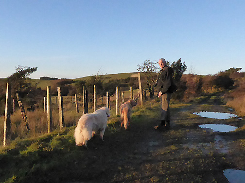
Dylan knows the way . . . and he's first to the gate onto the Mosser Track.
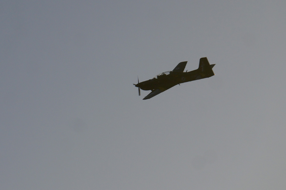
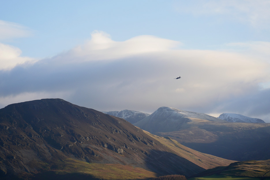
A RAF Tucano prop aircraft flies close by . . . they are slower and quieter than the jets. They also give you chance to change the lens to the zoom before they pass !
It heads off for a grand tour of the high fells and the valleys between.
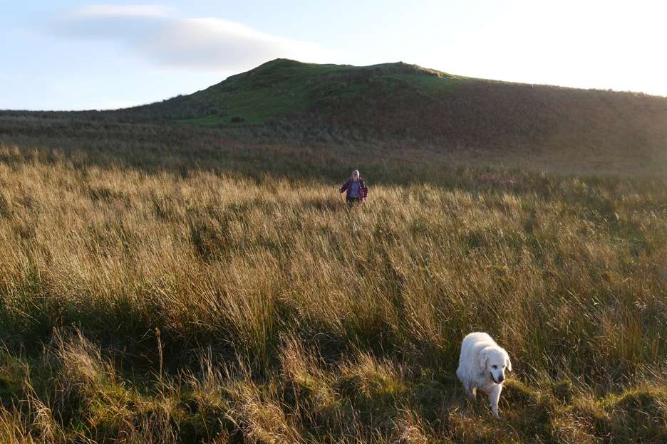
We continue on at walking pace . . . and take the gate into the fields on the western side of Darling Fell.
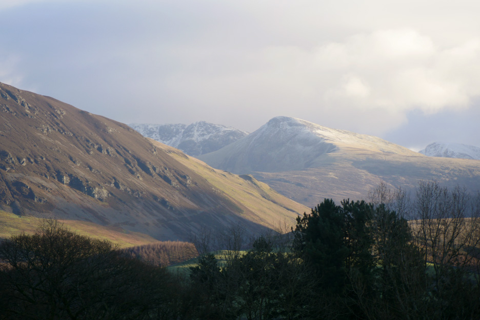
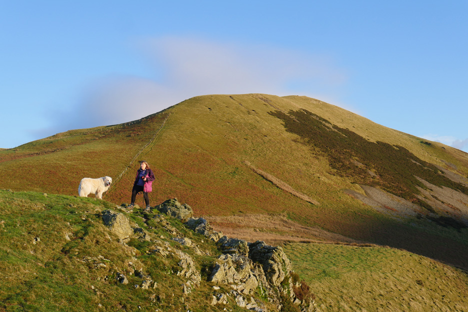
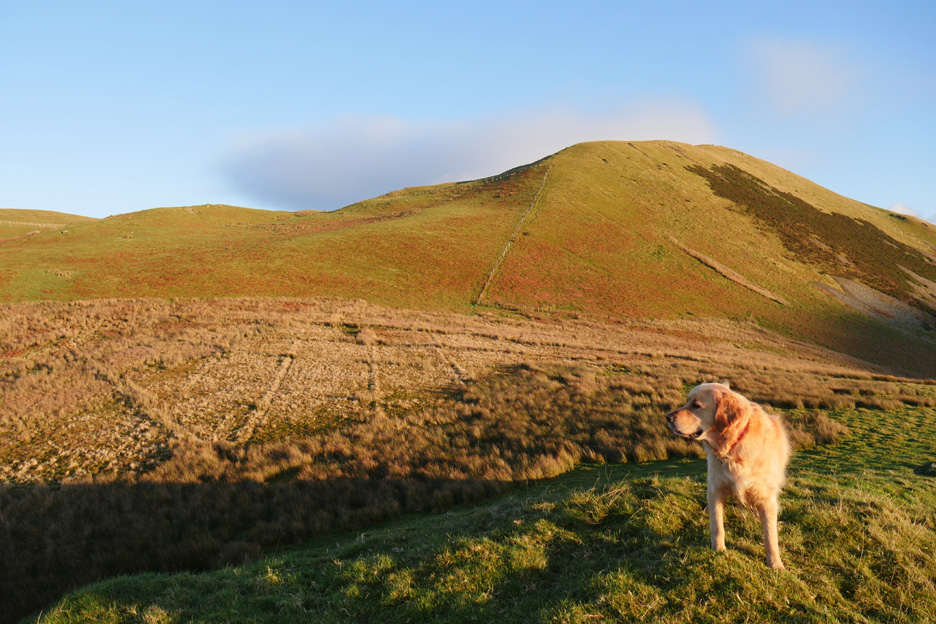
There's a fine sky but also some low level clouds which strangely seem to complement the fells.
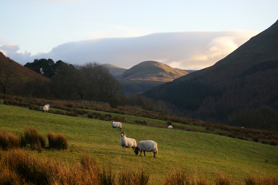
The views from here are superb despite not being on the highest summit of the area. Below is Loweswater, then beyond is Mellbreak and Hen Comb with the high central fells in the background.
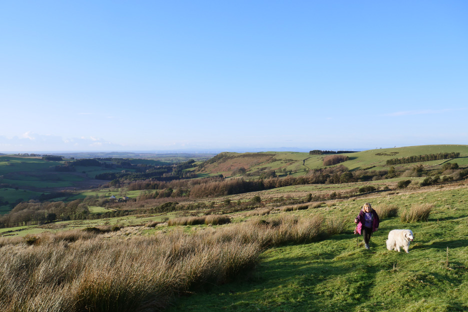
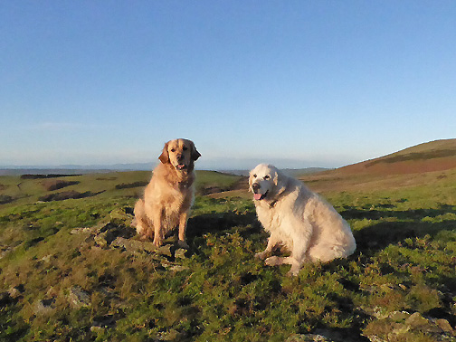
Harry and Ann on Askill with Darling Fell behind.
There's signs of old drainage on the more level ground below us . . .
. . . but it made little difference as we tried to re-cross the boggy bits.
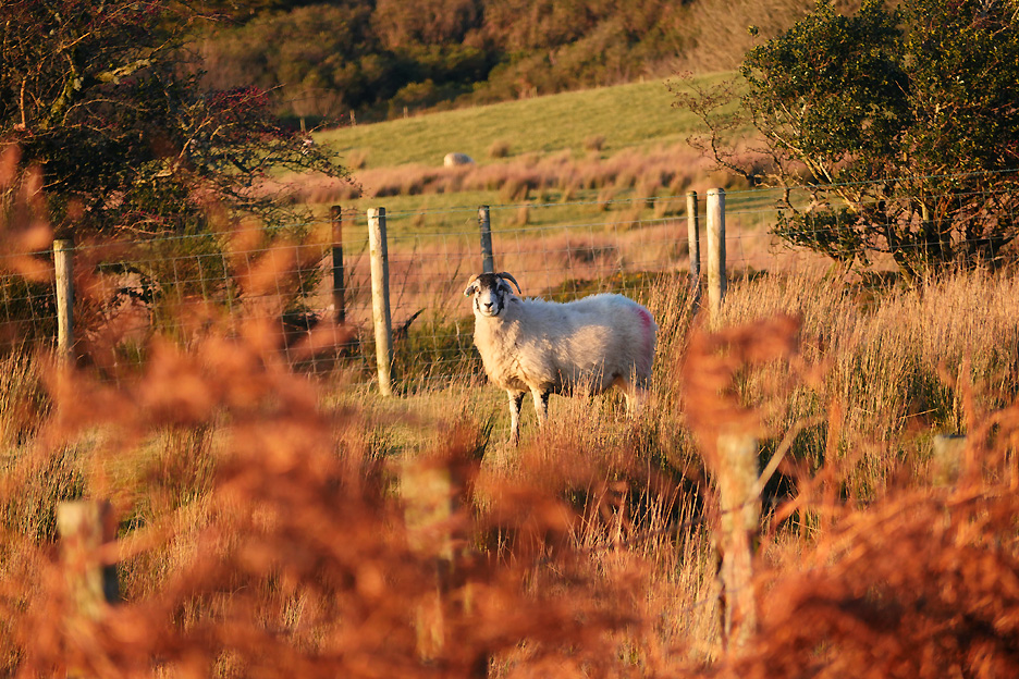
Warming sunshine up here on the top road . . . the sun enhancing the reds of the dying bracken. One rather surprised Swaledale stares back at us.
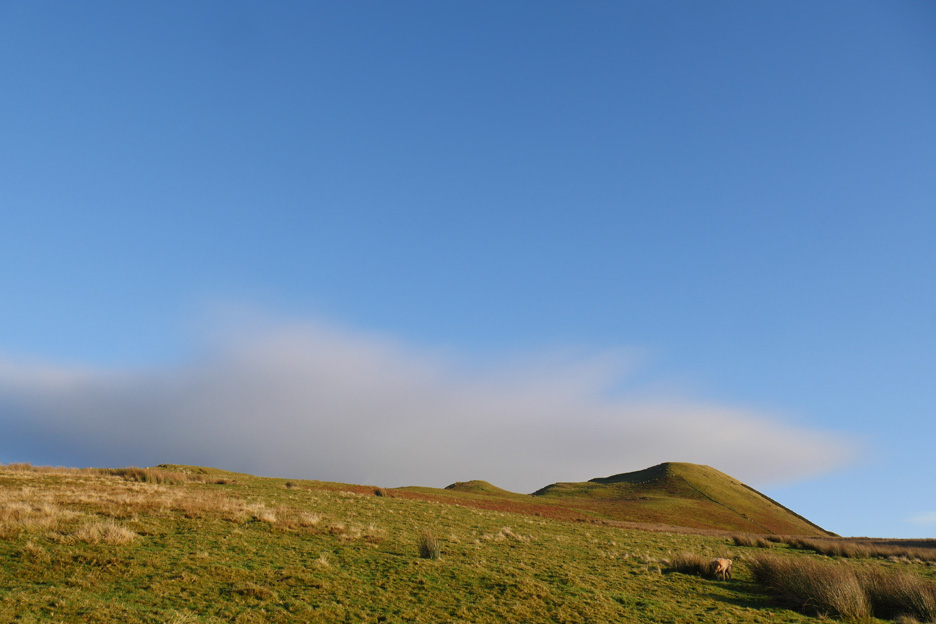
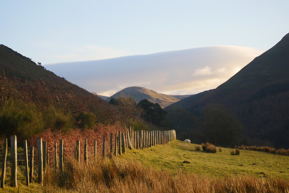
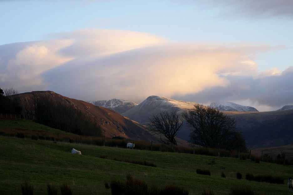
Looking along the fence line we were struck by the smooth rounded nature of the tops of the clouds. The cloud seems to be 'lenticular' in form . . . developing in the rising air as it flowed up and over the high ground.
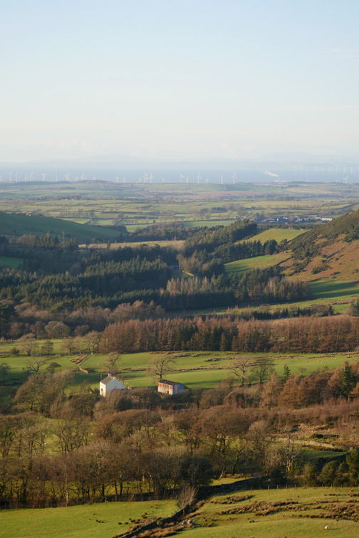
Time for us to descend and move into the lower valley where the sun will no longer shine today.
Darker fields contrast with the sunny tops . . . that white dusting has been there for several days already.
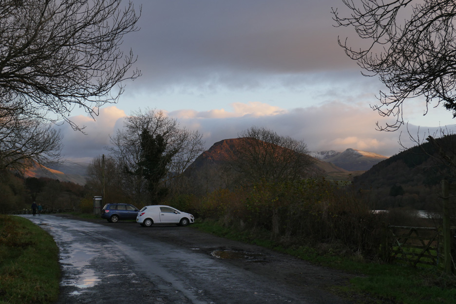
Back down to where we started . . . time to drive along to the Grange Hotel where, unknown to us, our friends have put the kettle on . . . bonus ! - - - o o o - - - |
Technical note: Pictures taken with either Ann's Panasonic Lumix TZ60, or my Panasonic Lumix Gx8 Camera. Resized in Photoshop, and built up on a Dreamweaver web builder. This site best viewed with . . . surprise tea and biscuits. Go to Top . . . © RmH . . . Email me here Previous walk - 25th November 2017 - First Snow in Loweswater A previous time up here - 21st January 2015 - An Askill Knott Round Next walk - 30th November 2017 - The Thirlmere Valley
|
 |
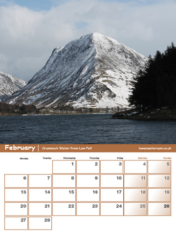
Now on sale . . . The Loweswatercam Calendar 2018 For this 10th anniversary edition we have been looking back at the year to bring you twelve months of Loweswater pictures, Lakeland scenes and your favourite mountain dogs. £10 a copy (plus postage + packaging if required) £1 of every calendar sold goes to support the Air Ambulance and local Mountain Rescue.
Click here to see the full details and to order your copy. |
 |