![]()

Remember: Press F11 for a full
screen view of this page.
|
|
|
Remember: Press F11 for a full
screen view of this page. |
|
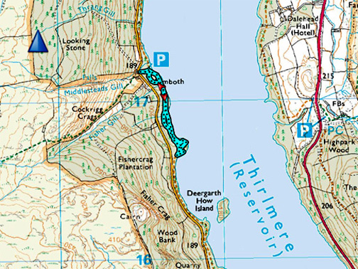
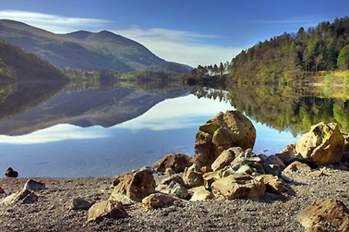
" Sunrise, Stones and the Thirlmere Valley " Date & start time: Thursday 30th November 2017. 2.45pm. Location of Start : Armboth Car Park, Thirlmere, Cumbria, UK. ( NY 305 172 ) Places visited : Loweswater, Castlerigg Stone Circle, Thirlmere Lakeside. Walk details : 1 mile, negligible feet of ascent, about 50 minutes. Highest point : Enjoying the scenery. Walked with : Ann and our dogs, Harry and Dylan. Weather : Dry but cloud increasing until the very end. |
© Crown copyright. All rights reserved. Licence number PU 100034184. |
|
A trip over to Thirlmere on a day that started with sunshine and continued on in similar style . . . until we started our afternoon walk along the lakeside path at Thirlmere . . . then it clouded over ! Still, the scenery was quiet, peaceful and beautiful ... but don't let yourself get complacent . . . there's a sting in the tail !
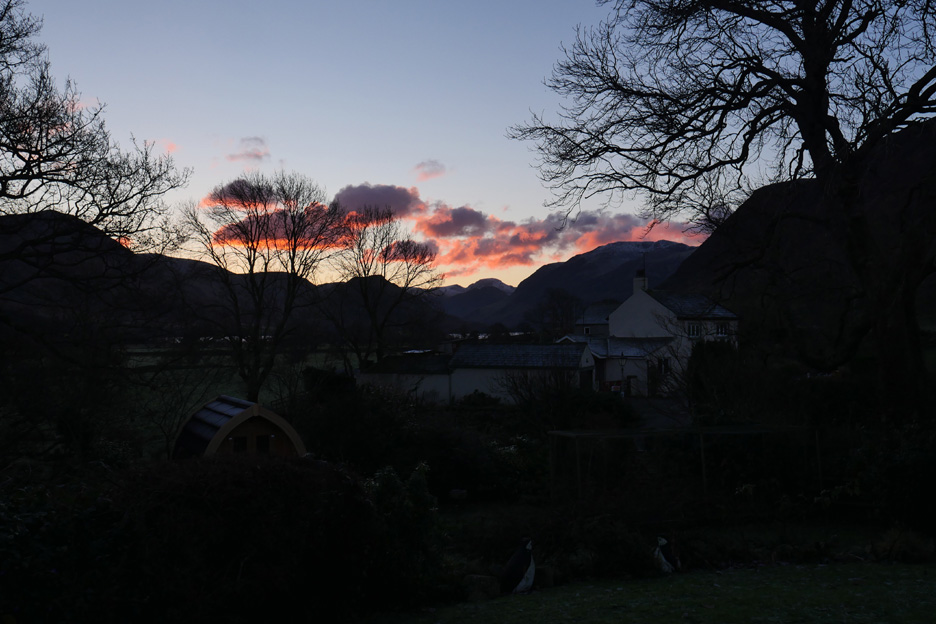
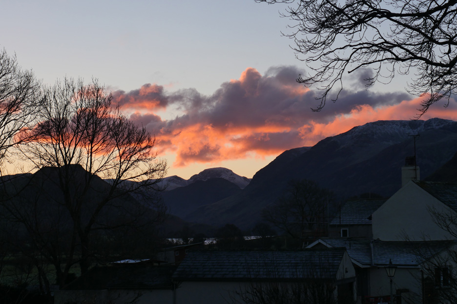
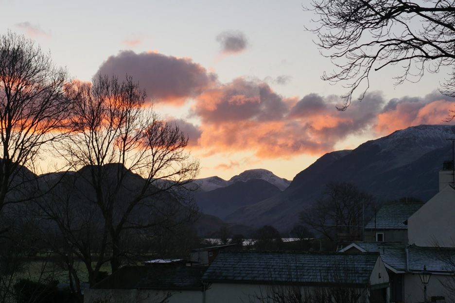
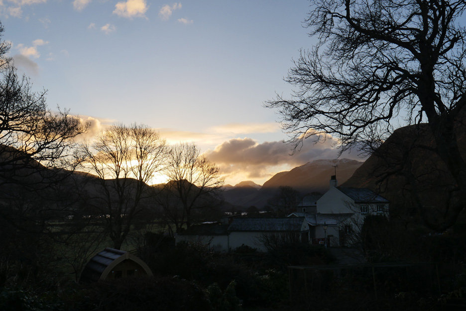
Up bright and early today ( before 8 am ! ) and I catch the sunrise over Great Gable and the Buttermere Valley.
As I watch . . . the colour subtly changes.
A few minutes later . . . after I put the kettle on to boil . . .
By the time tea had been served and enjoyed the sun was starting to show above Fleetwith Pike. Welcome to all that's good in a winter sunrise. - - - o o o - - - It was a busy morning and before we realised . . . it was the afternoon and time for a walk.
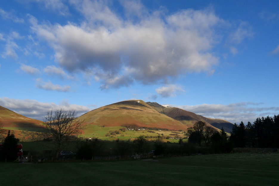
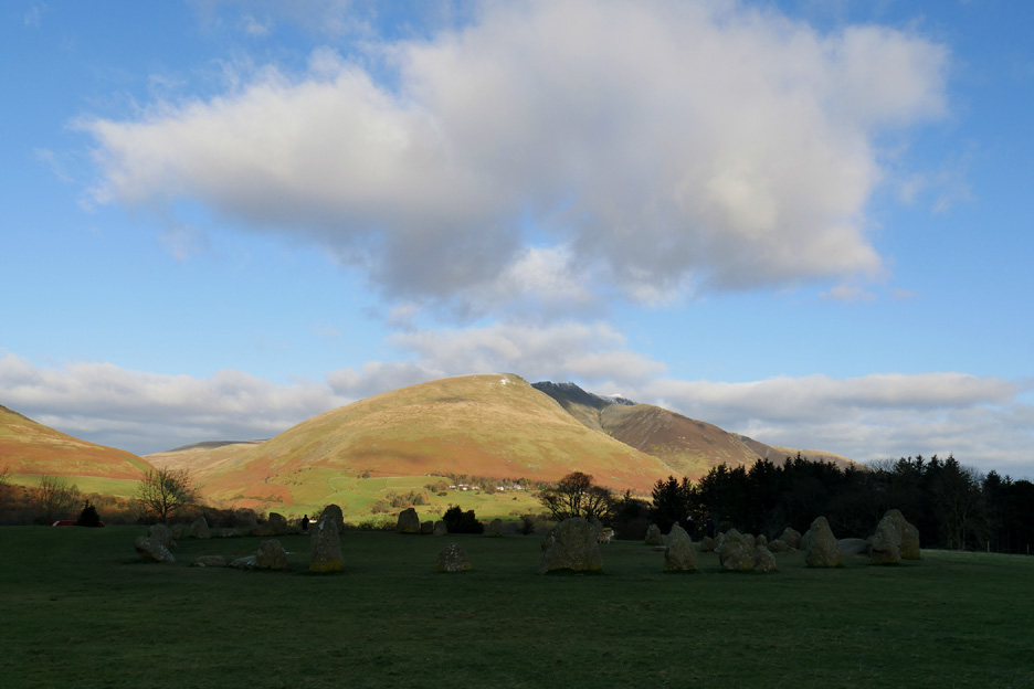
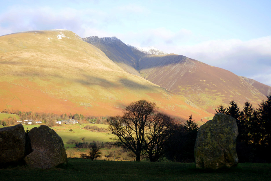
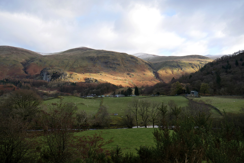
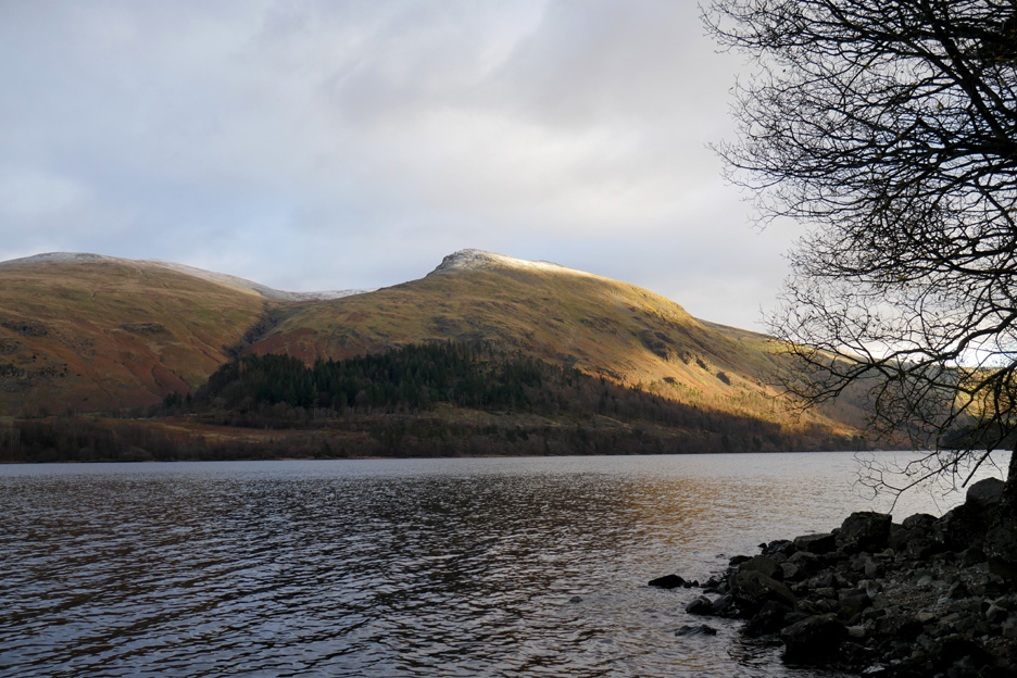
We headed for Thirlmere . . . but diverted to Castlerigg to catch this view of Blencathra. There's still some snow on the tops, but not as much as in recent days as the sunshine has warmed the fells.
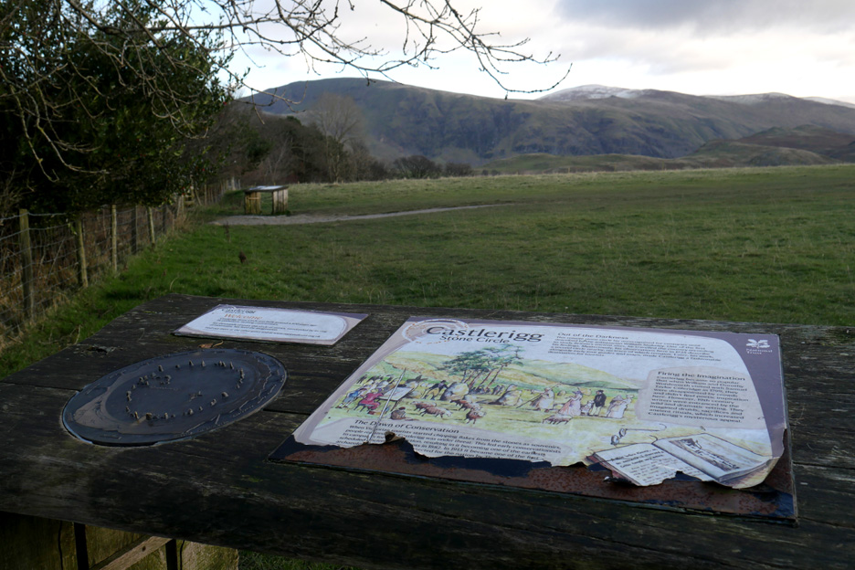
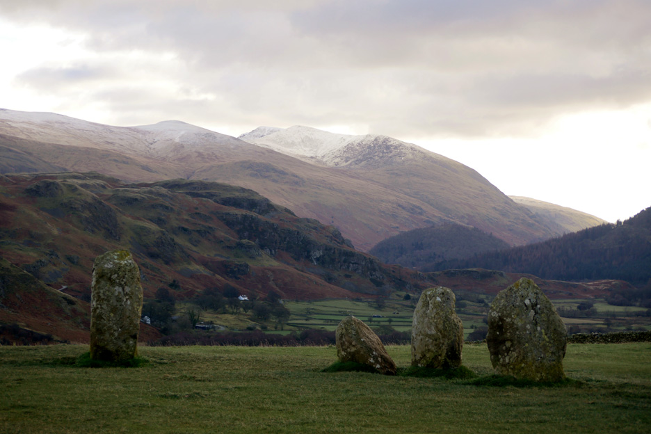
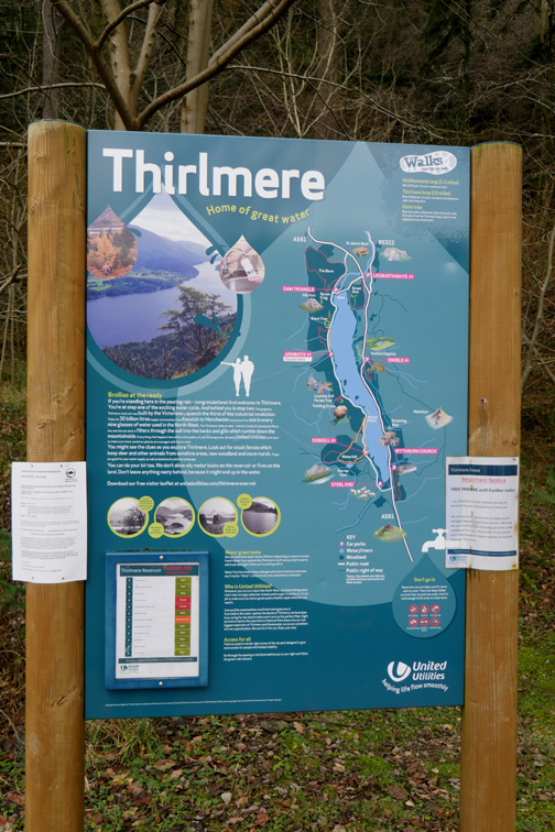
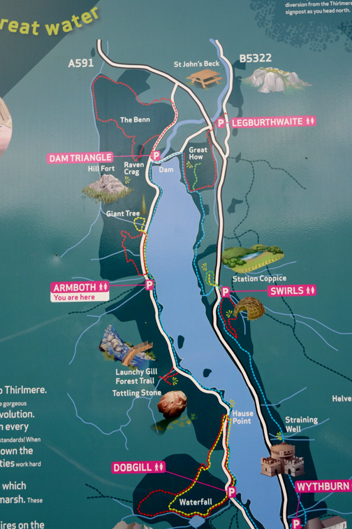
While we are here, we stop to view the beauty of the Thirlmere Valley from the Stone Circle. [ This version of the information board is looking a little worse for wear ]
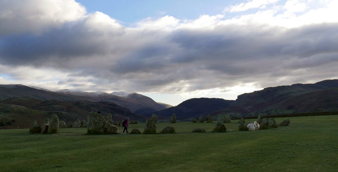
Ann walks through the ancient stone circle. Behind, the 3117ft (950m) summit of Helvellyn holds onto the snow . . . as does much of the ridge northward towards us.
Looking south down the Thirlmere Valley over the standing stones. In the background is Brown Cove and its cold, icy crags high on the fell looking rather austere today.
Brightness on distant Sail and Eel Crags though the distinctive outline of Causey Pike is shaded from the sun.
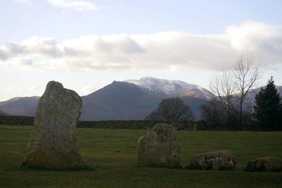
Looking back at Blencathra from beyond the circle.
Blencathra . . . as we turn back to the car. Here the mountain is seen through the stones on the northern side of the circle, the dappled cloud giving it a choice of colours to play with. - - - o o o - - - Back on track we take the narrow 'Castle Lane' and head over to the A591 Grasmere/Ambleside Road.
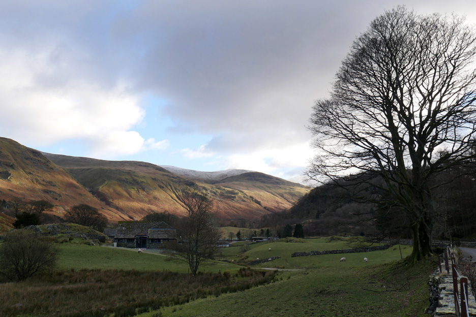
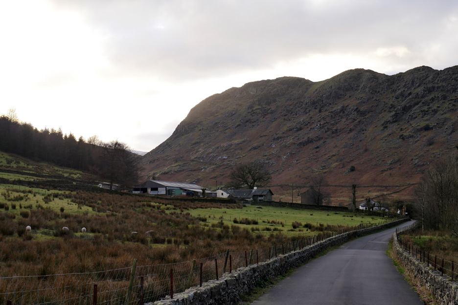
We've turned off the dual carriageway and onto the back road around Thirlmere reservoir. This barn has always been a scenic spot for a photo . . . today it has something familiar about it . . . but we're not sure what.
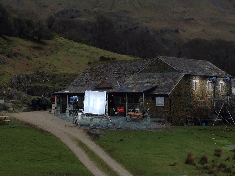
Jo, who has been staying with us over the weekend, explained our dilemma a little later. Some time back she was passing and saw a film crew working at the barn.
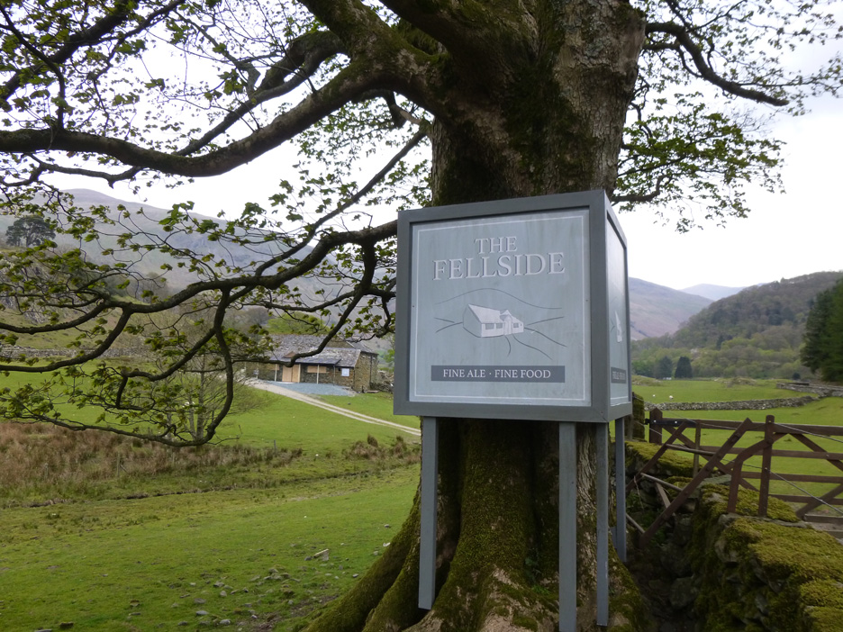
The building is the one used as the Fellside Bar and Bistro in the current TV series "The A Word". [ Both photos courtesy of Jo ]
Onward and around the corner and we can see Bridgend Farm in the middle of the valley. There's some lovely sunshine on Castle Rock behind and on the path that zig-zags its way up into the snow at Sticks Pass.
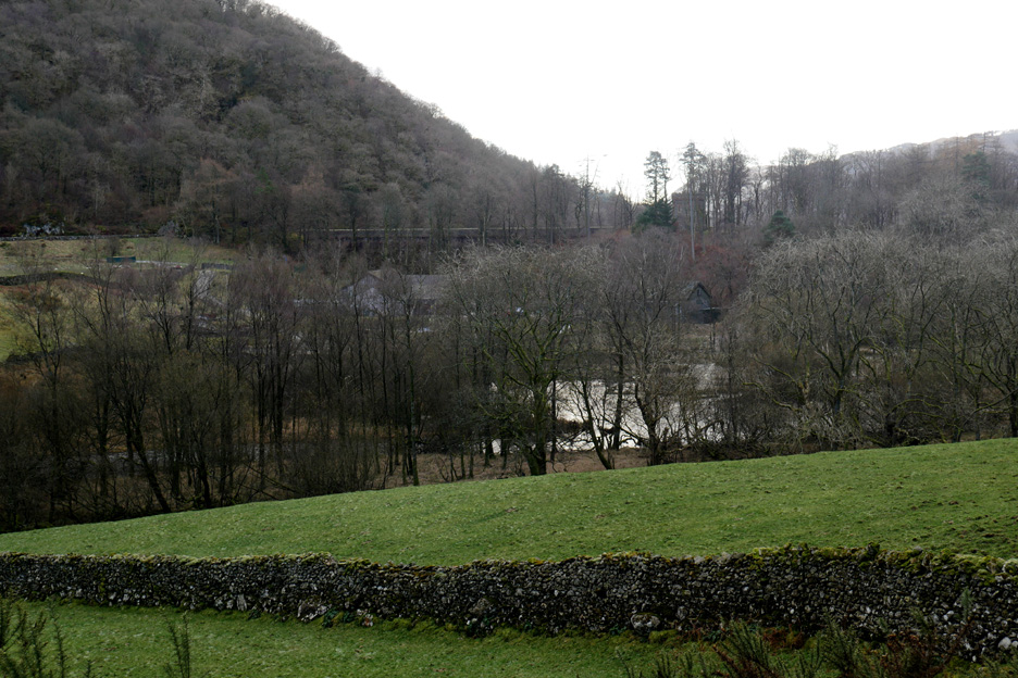
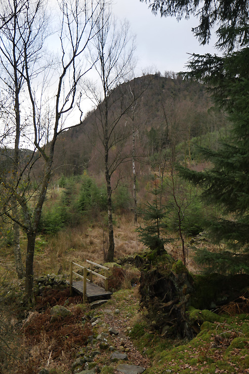
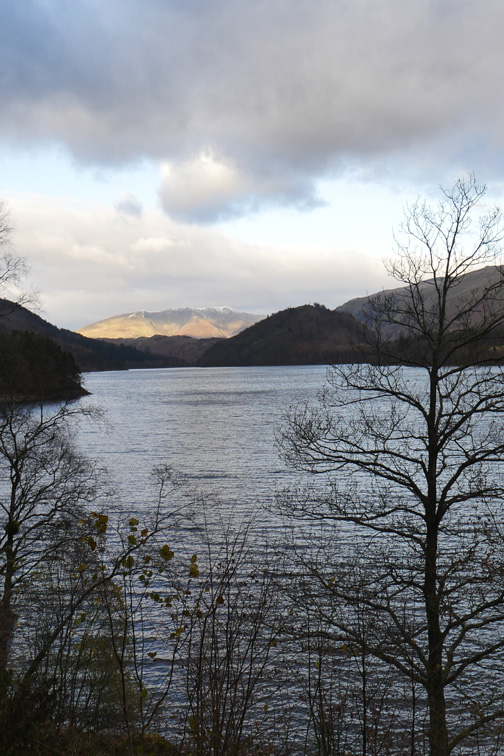
From here the high dam wall of Thirlmere reservoir can be seen through the bare winter trees.
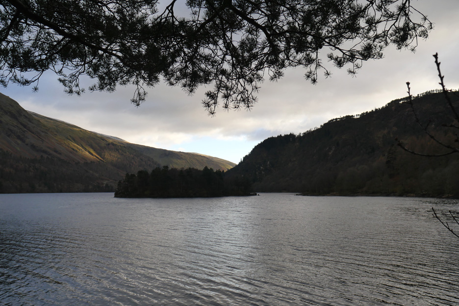
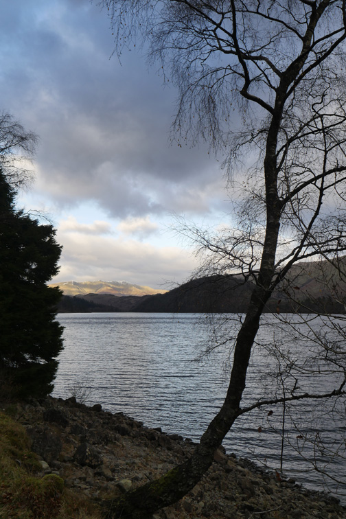
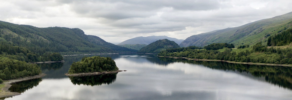
From the first headland of Beech Grove there's a fine view up the lake.
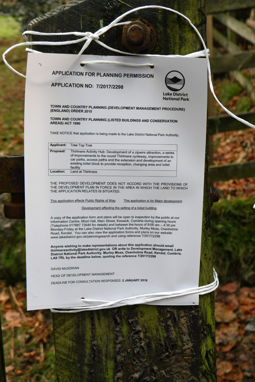
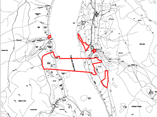
Our walk here was not exactly coincidence. We have come over here today to see what effect this application might have on the scenery at this part of the lake.
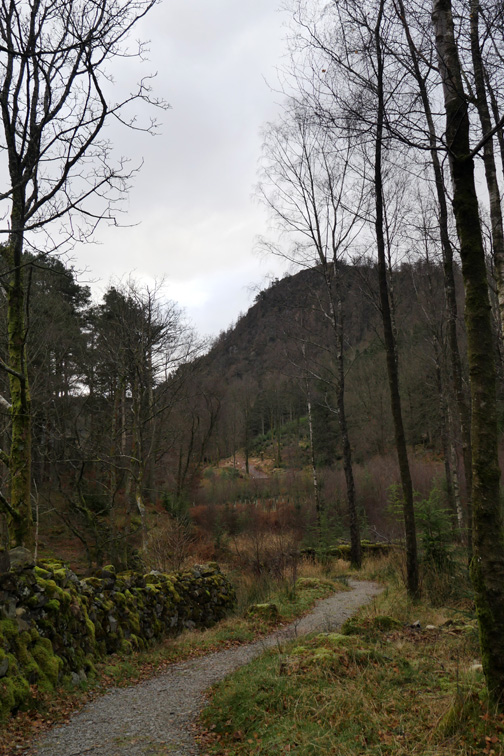
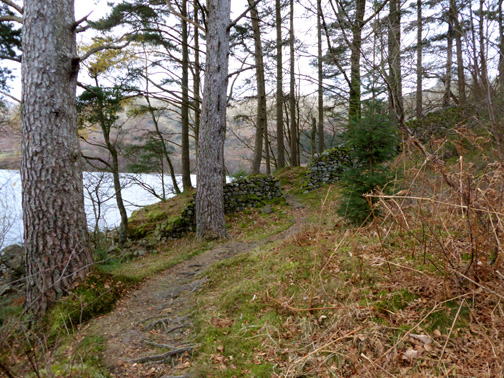
There's some lovely natural woodland here as the path follows around the edge of the lake.
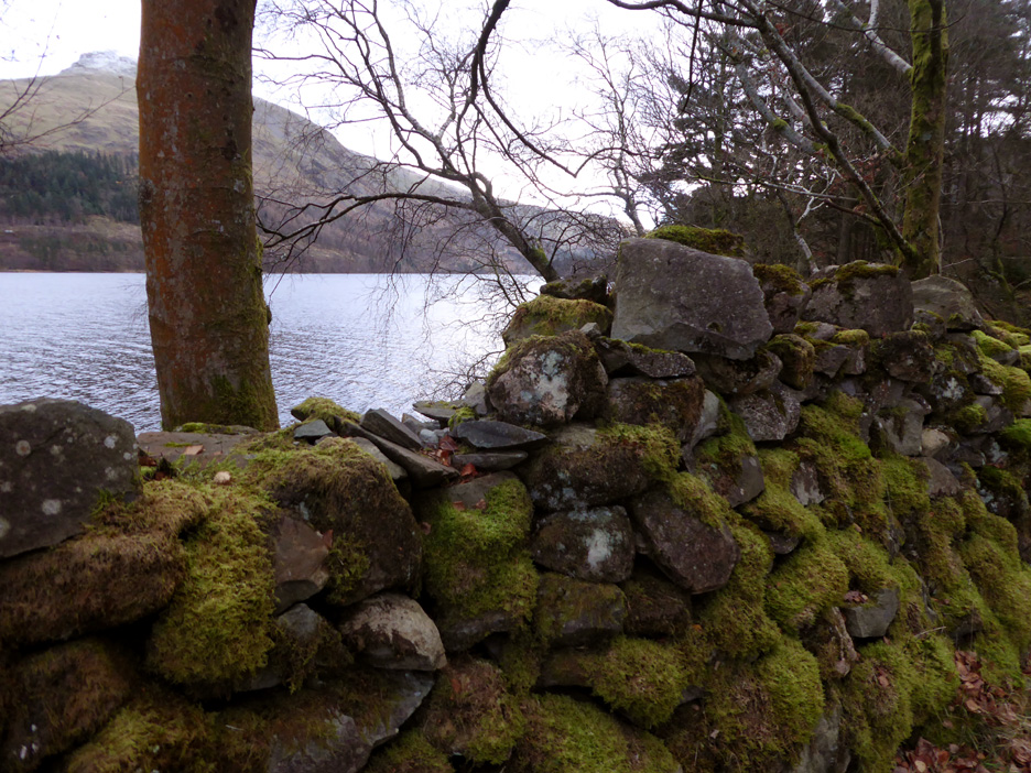
Lovely moss on the old walls that pre-date the flooding of Leathes Water to make the Thirlmere Reservoir.
Looking across to Great Dodd and Great How Woods on the other side of the lake.
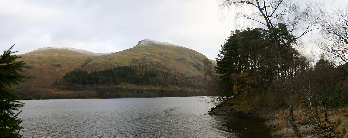
The panorama of the headland and the view of the proposed zip-wire location. If this development goes ahead just add cables, concrete, presumably a few small admin buildings and then a new access path road for users to reach their transport to the top station.
The four return cables will be starting high up to the right on Fisher Crag, in order to drop back onto Swirls Crag. The highest point of the wires above the lake will be 135m - 438 feet. The prospect is a frightening one on so many counts. Click here or on the photo above for a larger annotated version of this panorama.
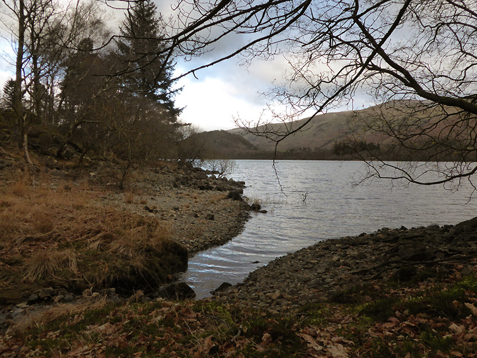
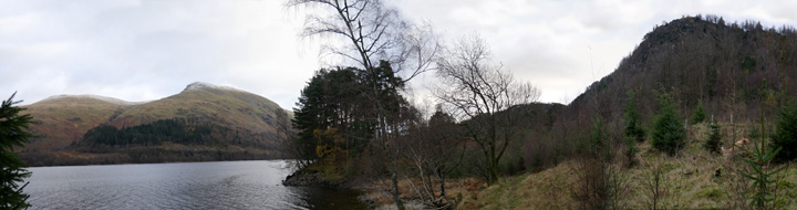
On the headland directly beyond Fisher Crag there's a lovely unspoiled view of Deergarth How Island.
The sunshine that has alluded us on the first part of the walk is starting to return.
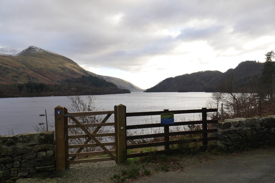
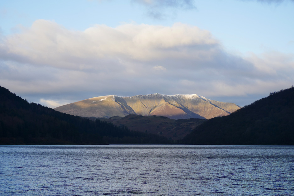
There's a clear and uninterrupted view down the lake to the beautiful, snow topped Blencathra. There won't be if the proposed scheme goes ahead !
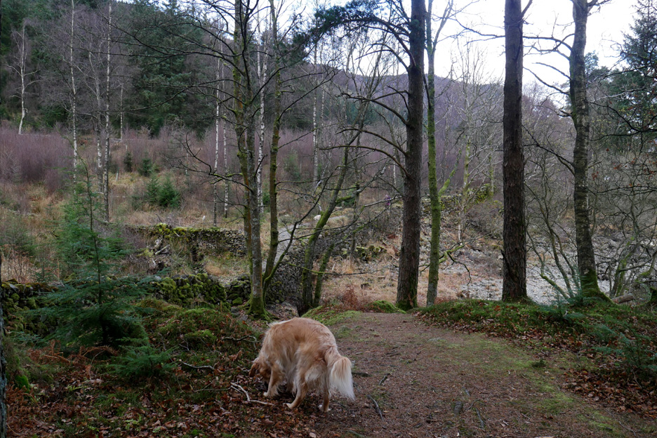
Dylan on the wild natural path of the lakeside walk as we make our way back to the car. - - - o o o - - - So that bay and the headland next to it is the site of the proposed zip-wire landing. To return to Swirls, users will need to get to the top of Fisher Crag for the return journey . . . but they are not going to walk up are they ? The plan is to use a forest road starting on the right soon after the car park entrance. The noise assessment documentation mentioned " 4 ton army trucks with loud engine breaking " so we must assume that is what Zipworld will use for transporting their paying customers.
We continue our trip around the back road . . . and pass Steel End Farm at the head of the lake.
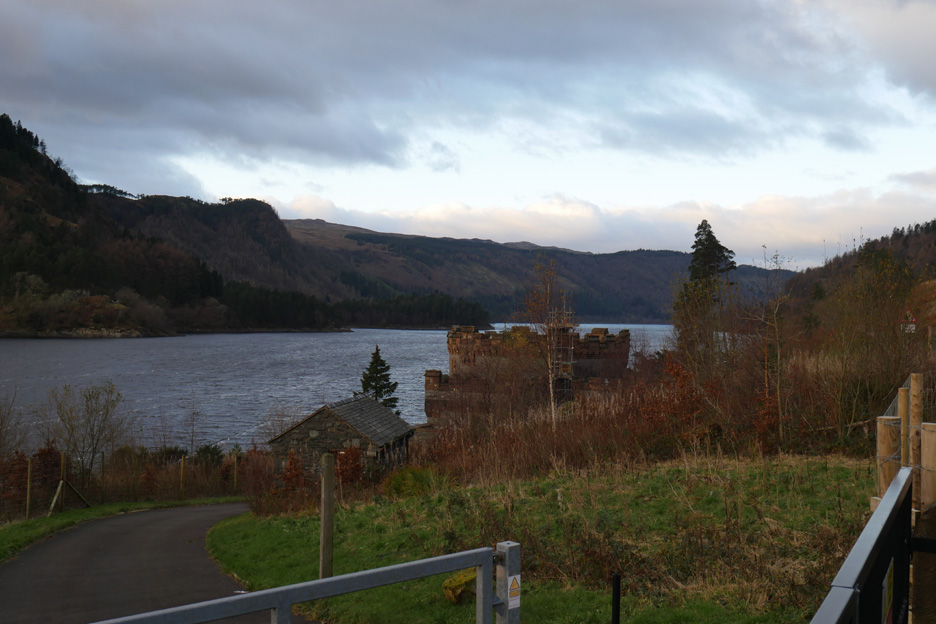
Travelling north now, back up the A591 and past the red sandstone take-off tower of the Thirlmere to Manchester aqueduct
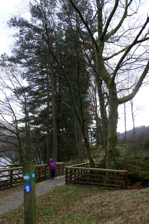
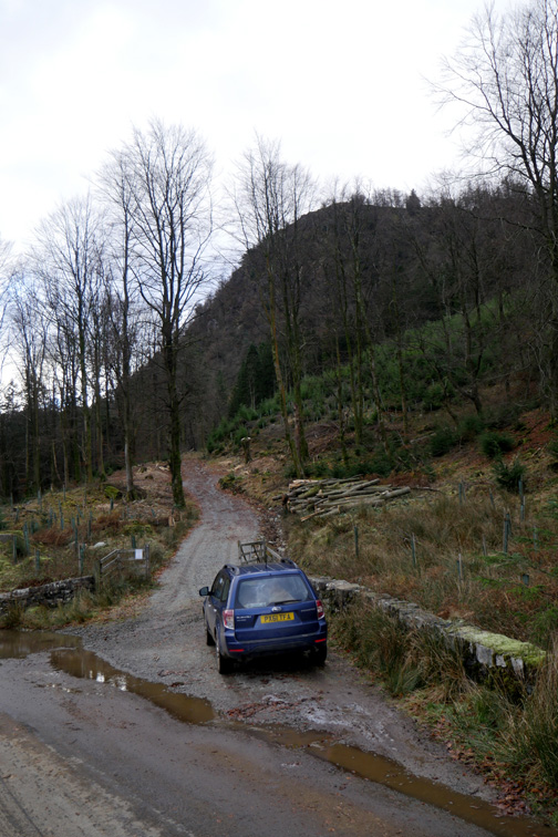
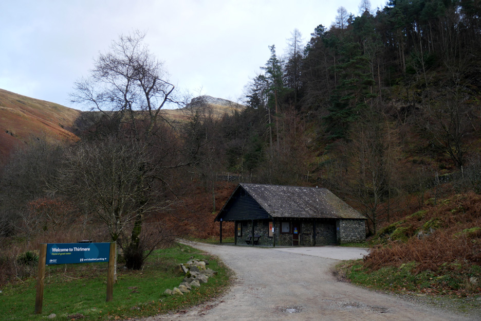
Welcome to Thirlmere and the car park at Swirls. The area is busy in the summer as it is the start of one of the main western paths up Helvellyn. It is scheduled to be "improved" as part of the scheme with more buildings and ground works to accommodate the potential users, their cars and the walkways to and from the take off and landing points.
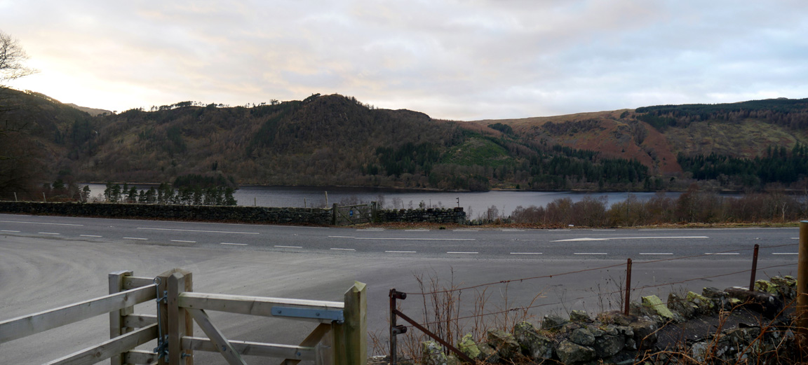
Fisher Crag as seen across the lake. There will be eight wires potentially crossing the lake at this point, plus all the associated buildings, roads and walkways behind us. - - - o o o - - - If you think this scheme could destroy the peace of the Lake District and this area in particular then please follow the links below and register your protest along with ours ! - - - o o o - - -
[ photo courtesy of the FOTLD web site ] The Friends of the Lake District organisation are objecting Click here or on the picture above to link through to their site and read their point of view.
Remember: The beauty of the open fells and of the lakeside, as we have walked them today, will be compromised. There will be additional traffic and noise on the quiet western shore. The scheme will impact the cultural landscape of the area. It seems contrary to the recent designation of the Lake District as an Unesco World Heritage Site.
The Zip wires will be a major flying hazard for low flying jets and aircraft that regularly use the valley. The pristine drinking water supply for Manchester and in future the whole of the Western Lake District could be compromised by additional development on land or air accidents with the wires.
The cables of the zip-wire proposal would cross and re-cross the main A591 road and cause a distraction to drivers. The proposed scheme is a money making venture, not one designed to maintain or enhance the natural beauty of the area.
Zip wires are for adrenaline theme parks . . . the open fells and valleys of the Lake District are for peaceful and personal enjoyment. The National Park have turned down zip-wire applications before . . . together let's make sure they turn this one down too. Get writing . . . . Thank You. - - - o o o - - - |
Technical note: Pictures taken with either Ann's Panasonic Lumix TZ60 or my Panasonic Lumix Gx8 Camera. Resized in Photoshop, and built up on a Dreamweaver web builder. This site best viewed with . . . a call to action. Go to Top . . . © RmH . . . Email me here Previous walk - 28th November 2017 - Askill Knott from the Grey Phone Box A previous time close to here - 1st March 2017 - The Five Faces of Harrop Tarn Next walk - 3rd December 2017 - Fangs Brow Coffin Road
|
 |
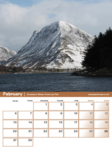
Now on sale . . . The Loweswatercam Calendar 2018 For this 10th anniversary edition we have been looking back at the year to bring you twelve months of Loweswater pictures, Lakeland scenes and your favourite mountain dogs. £10 a copy (plus postage + packaging if required) £1 of every calendar sold goes to support the Air Ambulance and local Mountain Rescue.
Click here to see the full details and to order your copy. |
 |