![]()

Remember: Press F11 for a full
screen view of this page.
|
|
|
Remember: Press F11 for a full
screen view of this page. |
|
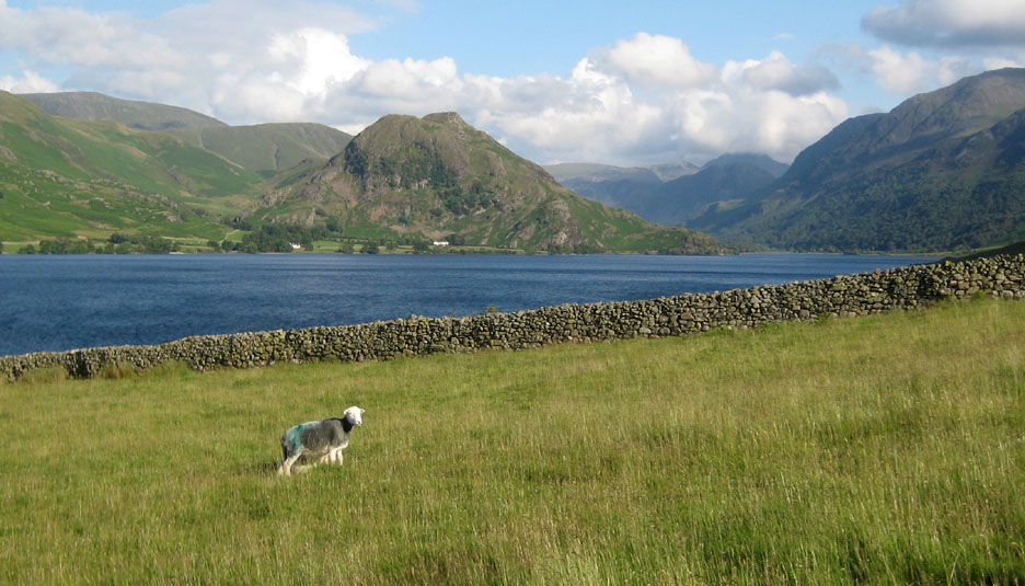
" Low Ling Crag on Crummock Water " Date & start time: Saturday 9th July 2011, 4.05 pm start. Location of Start : The red phone box, Loweswater , Cumbria, Uk ( NY 143 211 ) Places visited : Crummock Water, out and back via Low Park / High Park. Walk details : 4.85 mls, (approx) 400 ft of ascent/descent, 3 hrs 5 mins. Highest point : A swim in beautiful surroundings. Walked with : Kathryn, Gareth, Ann and the dogs, Harry and Bethan. Weather : Blue summer skies and sunshine. A slight breeze to ripple the water.
|
" Low Ling Crag on Crummock Water " at EveryTrail [ Alter the settings to zoom or change the Map, use Everytrail to download the Gps route ] |
|
A beautiful afternoon and chance to wonder peacefully alongside Crummock Water on a low level walk to Low Ling Crag. The crag is joined to the shore by a curved gravel beach, known in popular geographical terms as an isthmus, but more correctly it should be called a tombolo as it is made of washed up gravel or sand rather than solid ground. It is a delightful place to visit and not so many people on that side of the lake either ! - - - o o o - - - In the morning Gareth and I went gathering winter fuel (firewood) from a local fallen tree in the local meadow then relaxing, or in my case . . . not relaxing.
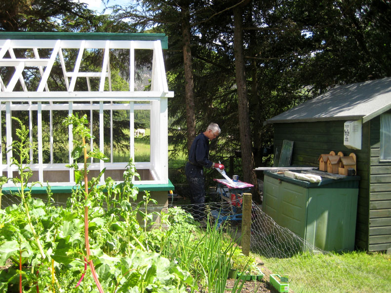
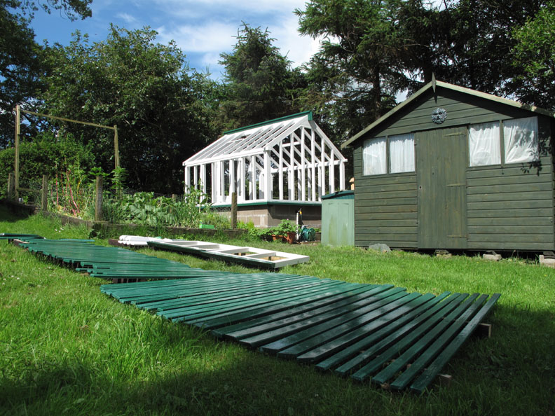
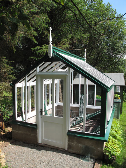
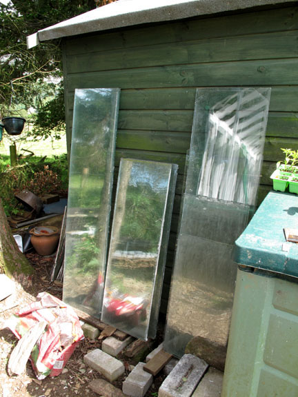
Over the last couple of weeks the building job has moved slowly forward.
A touch of colour adds distinction to a classic design. These are painted wooden batons to hold the glass in place . . . not a xylophone !
- - - o o o - - - This longer term rebuild project (as it is turning out to be) doesn't stop us getting out and enjoying a walk too. After our busy morning, our son Gareth and his girlfriend Kathryn, Ann and myself decided on a local, low level walk . . . but somewhere Kathryn hadn't been before.
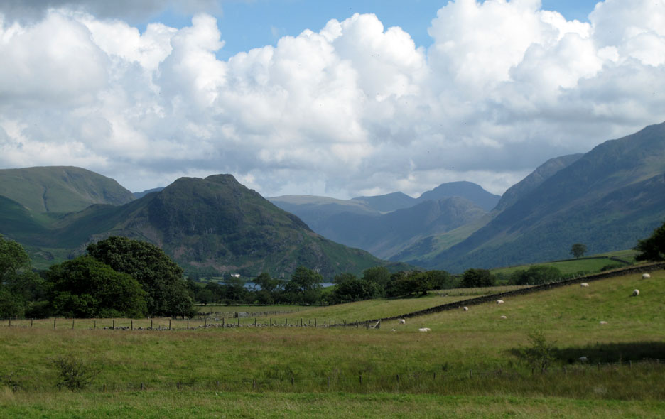
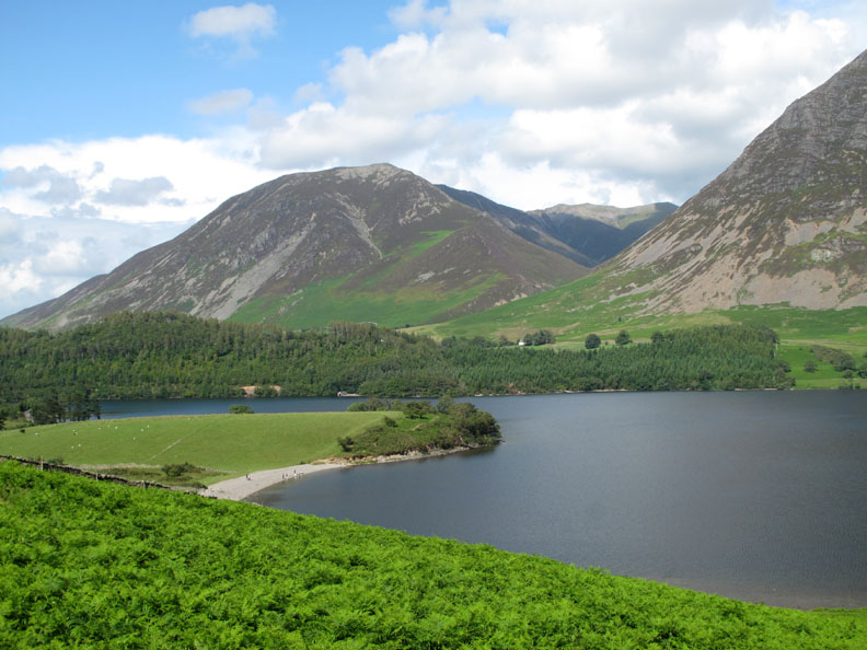
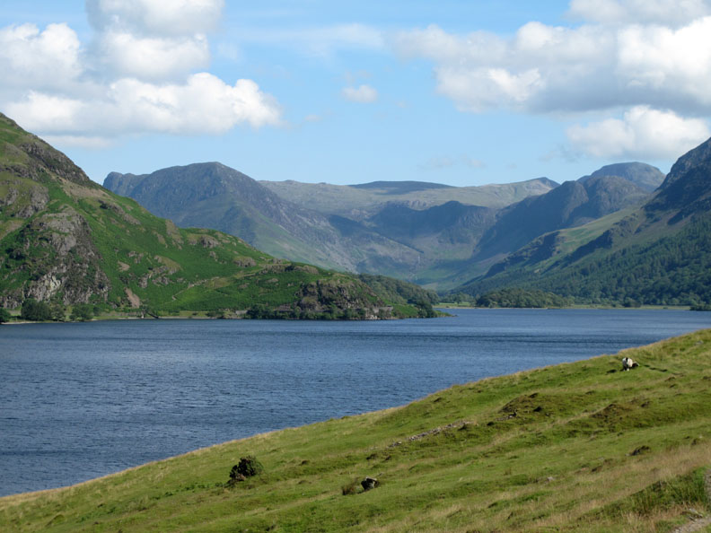
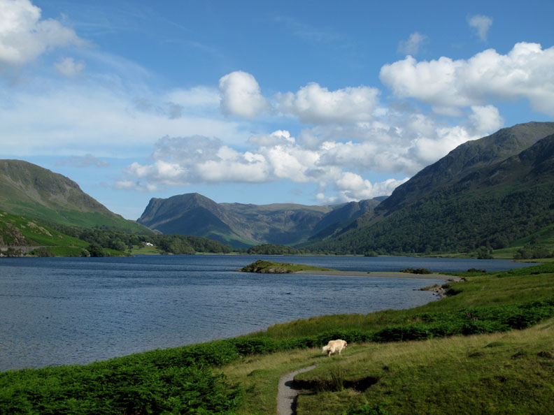
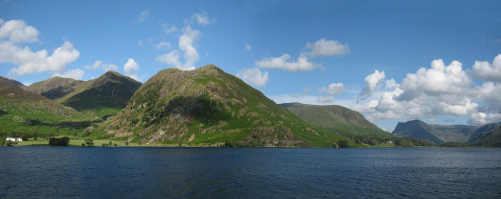
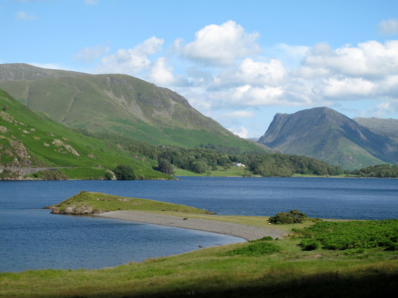
Looking up the Buttermere Valley. Low Ling Crag juts out into Crummock Water on the opposite side of the lake from the craggy Rannerdale Knotts in this picture. Foreshortened by the telephoto lens, the distance is just over two miles up from here.
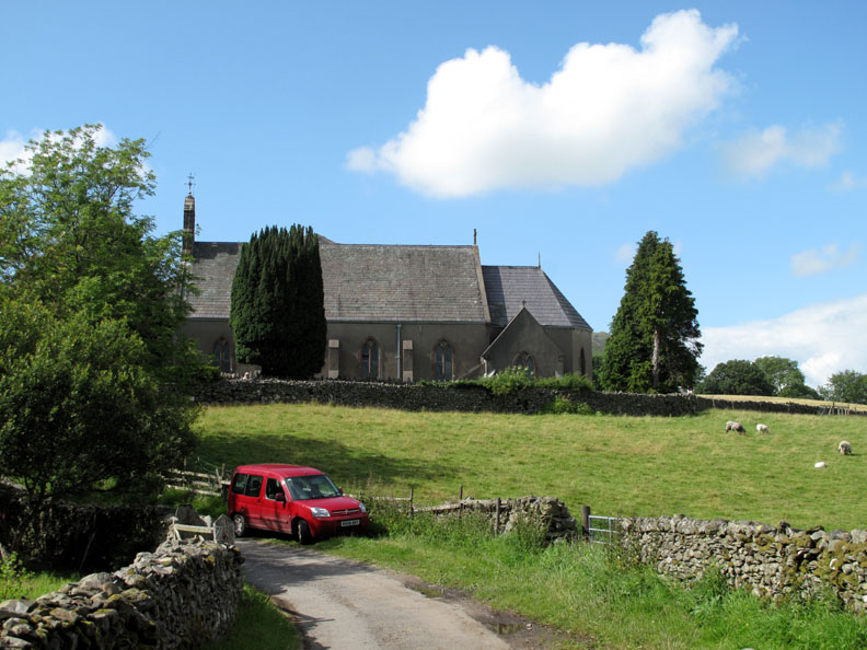
Righteousness rather than thirst . . . a picture of Loweswater Church instead of the usual Kirkstile. It's a large church considering the number of residents in the valley. This is due to it being expanded in the last century during the mining boom, when there were several lead mines in the area and the working population was greater.
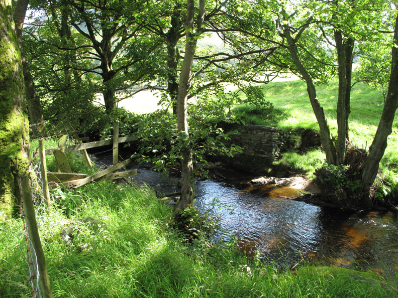
Walking down alongside Park Beck there is evidence of an old bridge abutment which used to give access to a small mine a short distance south west of the Inn. Long since fallen into disrepair, the gap was bridged for many years by a few narrow planks, but even those have gone.
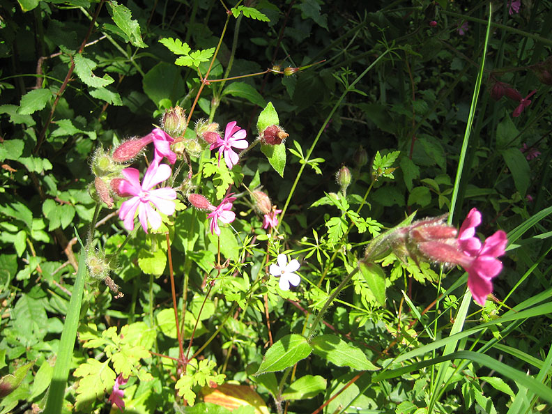
Red Campion in the hedgerow towards Low Park.
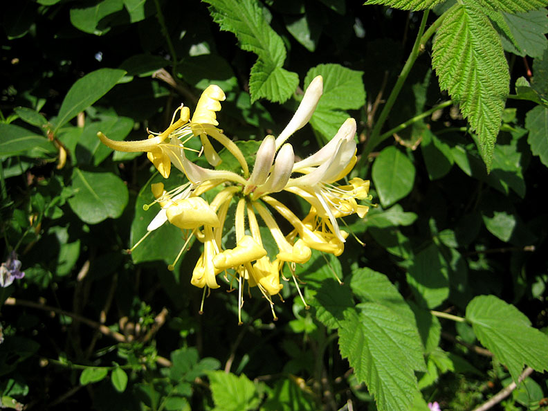
Honeysuckle in the hedgerow.
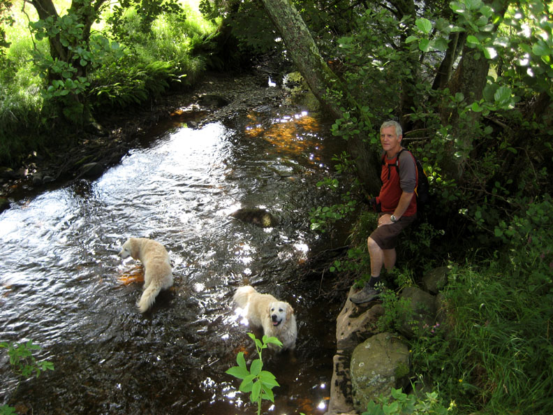
Watching the dogs as they swim in Park Beck next to the bridge.
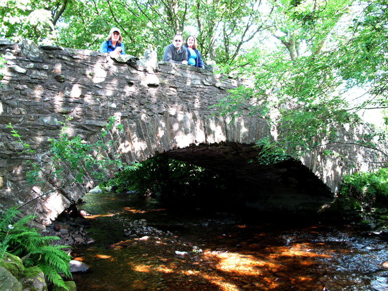
Ann, Gareth and Kathryn looking down on us from Low Park Bridge.
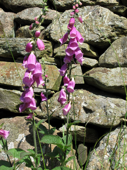
It has certainly been a good year for foxgloves which are flowering beautifully at the moment.
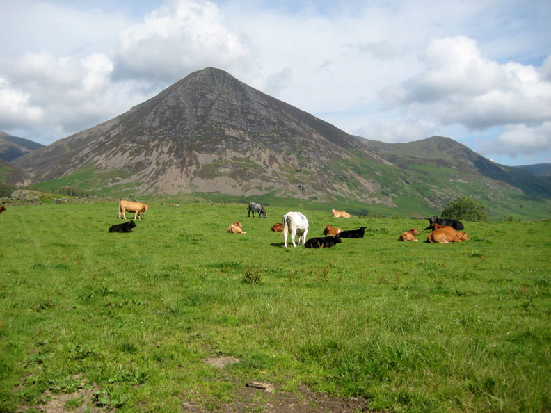
Across the fields towards Grasmoor and Whiteless Pike.
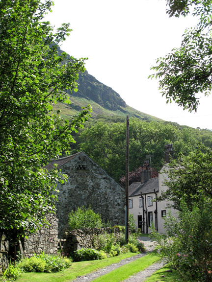
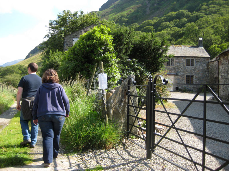
Gareth and Kathryn passing the old houses at High Park.
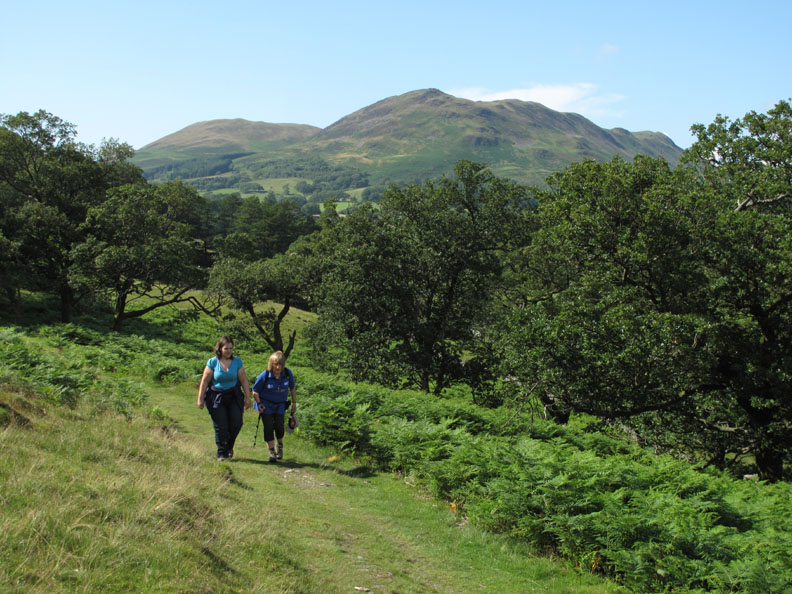
Through Green Wood under Mellbreak as we head for Crummock Water.
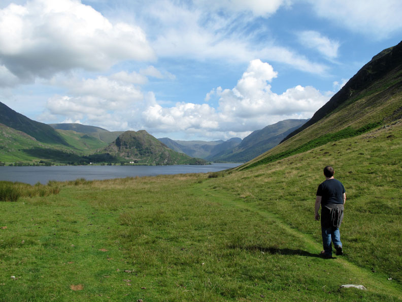
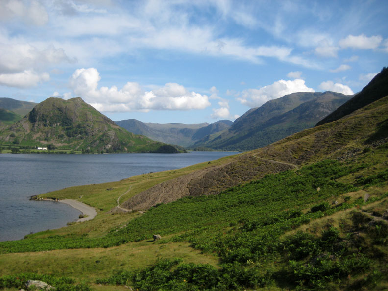
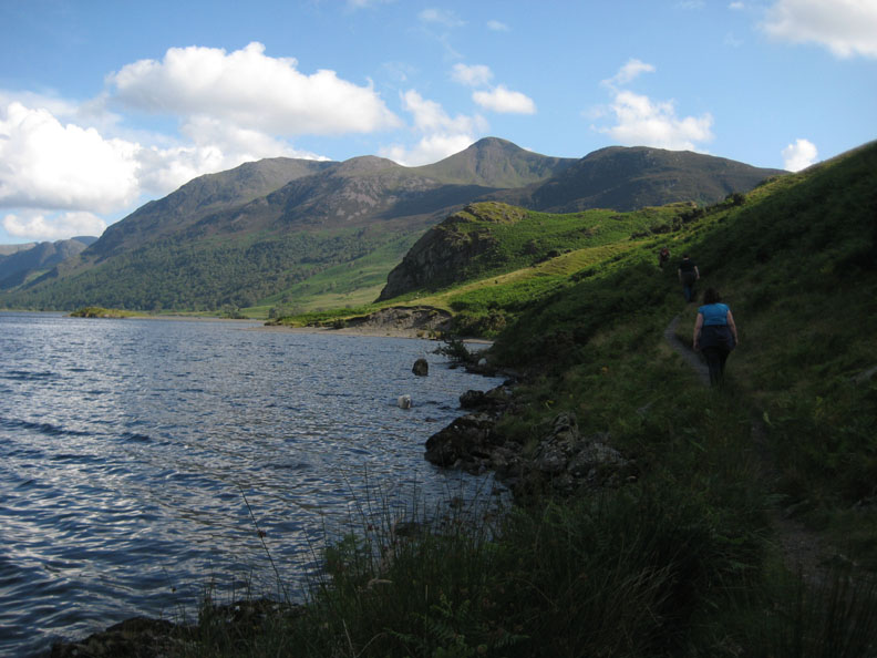
Reaching the brow of the hill the view suddenly opens to reveal the lake.
The bracken is growing apace now covering the lower slopes of the fell. From our path we have a great view back down to the beach, across to the boathouse with Whiteside behind.
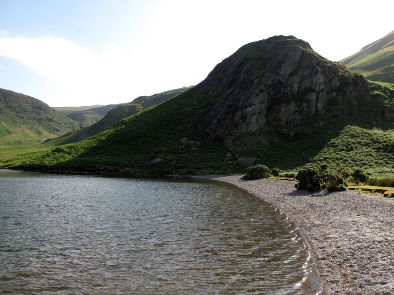
Looking back specifically at the beach. We'll return along the lower path later on in the afternoon.
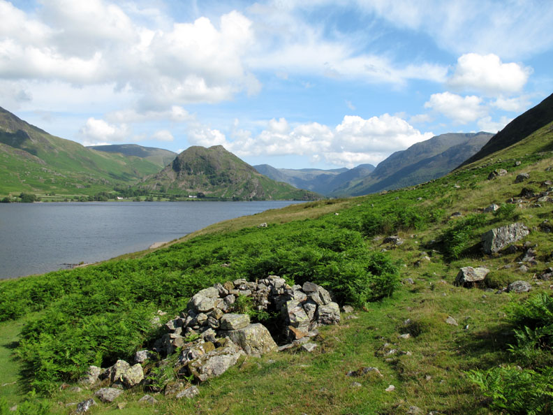
Alongside the top path there's a single stone grouse butt or circular shelter. I don't think it is anything historically important.
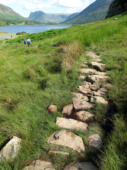
Our top path continues on, crossing an old scree slope which contains the washed-out stones from higher up on Mellbreak.
Zooming in on the head of the Buttermere Valley. Above Hause Point is Fleetwith Pike with the adjoining skyline being made up of Grey Knotts, Brandreth, Green and Great Gable. The shaded crags of Haystacks are seen above the green grass on the approach to Scarth Gap.
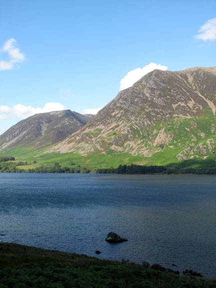
Its neighbour, High Ling Crag is in sunshine though we are walking in the shadow of Mellbreak.
The north westerly breeze which was blowing up the lake at the northern end is met by the south westerly breeze blowing round past the southern end of Mellbreak. Here it is relatively calm but presumably the two air masses join forces and continue east over Rannerdale.
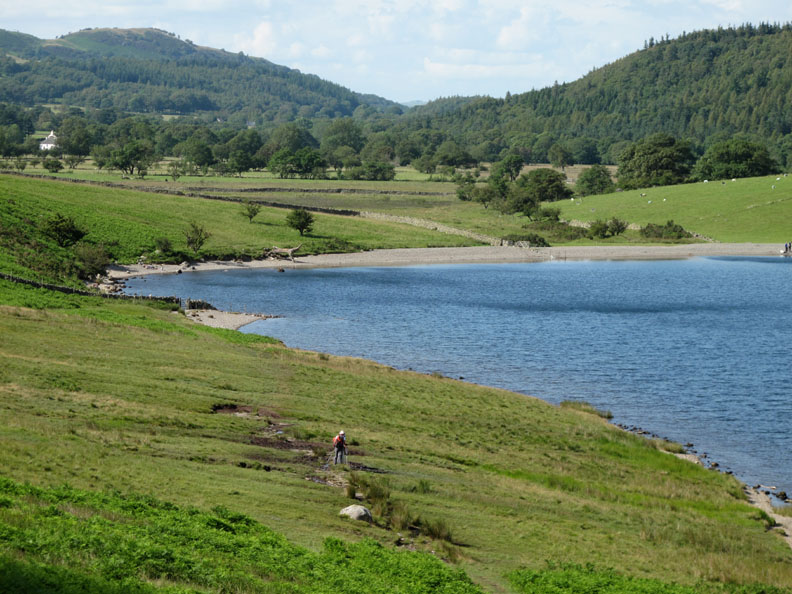
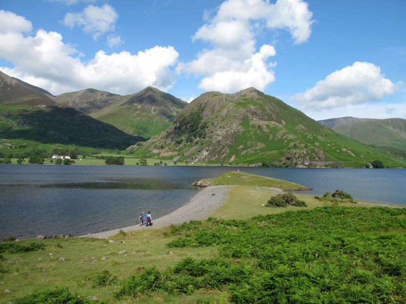
A classic tombolo where the offshore rock has calmed the waters sufficiently to allow a shingle beach to build up. Presumably storms from both directions over the years have built up the beach pebbles into the two delightful crescent shapes.
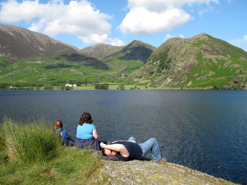
Time to sit on the end of the crag and relax . . . taking in the view.
It's a big view and folks decide it needs a long rest to enjoy it to the full.
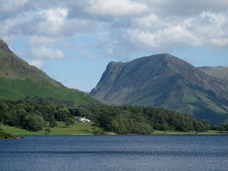
Across the way . . . zooming in on Wood House (Guesthouse and B&B) with Fleetwith Pike behind.
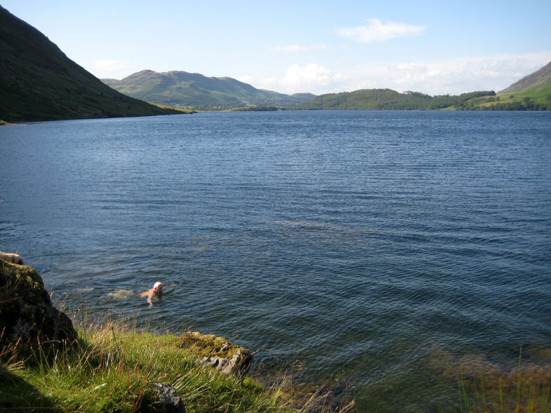
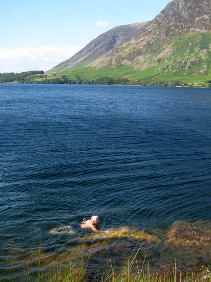
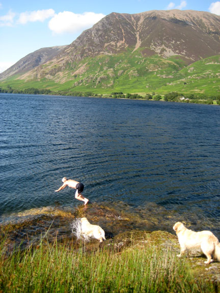
I test the water and find it a reasonably acceptable temperature.
A few minutes swim and then a tow ashore from our trusty hound Harry.
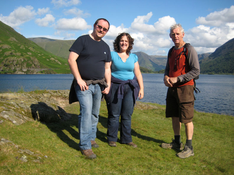
I've swum, they've rested . . . and Ann has exercised the camera shutter. Sorry . . . forgot to bring a comb !
One last view of Red Pike and High Stile and we'll be off back down the lake.
High Ling Crag, its steep eastern side in deep shadow.
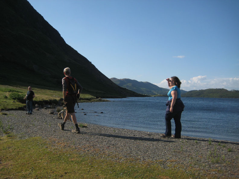
Kathryn shades her eyes from the bright sun.
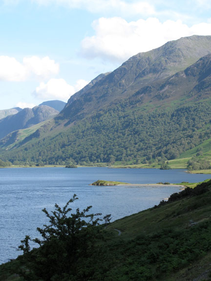
A look back at Low Ling as we leave.
Into the shadow formed by the high side of Mellbreak. There's a noticeable drop in temperature out of the sun.
Back above the beach and making our way up the field towards High Park once again.
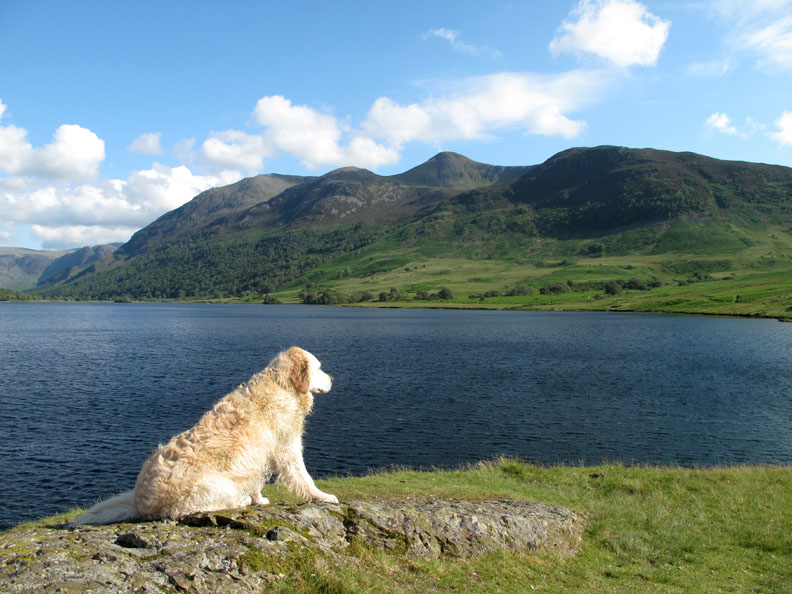
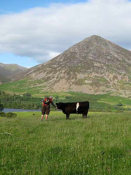
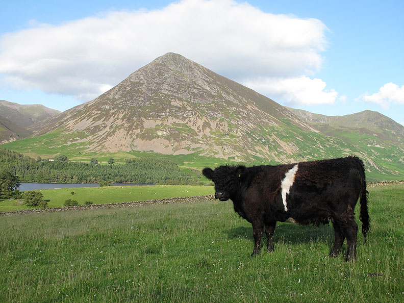
Thanks for the grass . . . but I wouldn't have said no if you wanted me to try one of those dog-treat biscuits I could smell in your pocket. - - - o o o - - -
- - - o o o - - - |
Technical note: Pictures taken with either Ann's Canon 75 or my Canon G10 digital camera. Resized in Photoshop, and built up on a Dreamweaver web builder. This site best viewed with . . . a walk well suited to the day. Go to Top . . . © RmH.2011 . . . Email me here Previous walk - 2nd July 2011 High Spy via Nitting Haws A previous time up here - 28th March 2009 Ed's Mellbreak 214 Next walk - 14th July 2011 Devoke Water and Rowan Tree Falls
|