![]()

Remember: Press F11 for a full
screen view of this page.
|
|
|
Remember: Press F11 for a full
screen view of this page. |
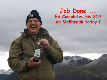
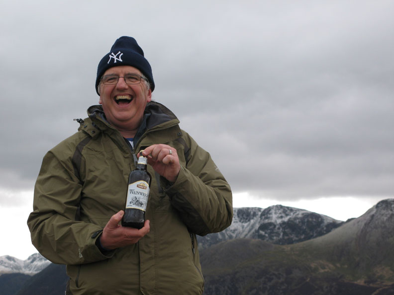
| Date & start time: Saturday 28th March 2009. 11.00 am start. Location of Start : The red phone box, Loweswater , Cumbria, Uk ( NY 143 211 ) Places visited : Kirkstile, Mellbreak Nth top, Mellbreak Summit, Scale Force and back via Ling Crag and the lakeside. Walk details : 6.5 ml, 1775 ft of ascent, 6 hours 10 mins. Highest point : Mellbreak 1,676ft ( 512m) Walked with : Ed and Susan, Paul, Steve and Lorraine, Liz and Barrie, Jo, John, Ann, myself and the dogs, Sam, Jodie, Polly, Harry and Bethan. Weather : Overcast, windy and cool but brightening as the day went on. Ed completes his 214 Wainwright Fells on Mellbreak ! |
|
|
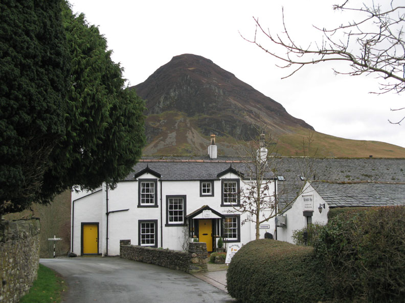
A fine day for a fine walk up Mellbreak to celebrate the completion of Ed's first Wainwright Round. He chose Mellbreak as his 214th fell as it was a stand-alone fell, a great climb and has a fine pub at the end in which to relax and celebrate. Good choice Ed !
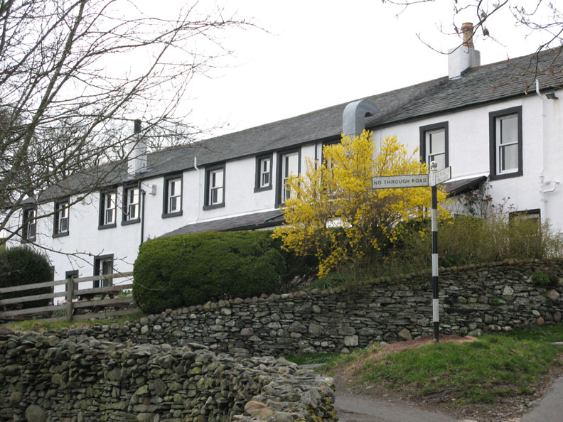
" a fine pub at the end of the walk to relax and celebrate " Start and end of the walk . . . the Kirkstile Inn.
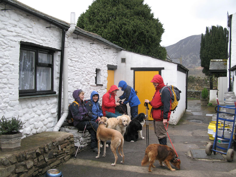
We arrived on time on a rather cool, damp day and waited for Ed and the rest of the party to arrive. Looking around, we found that they had beaten us to it and were gathered inside having a warming cup of morning coffee !
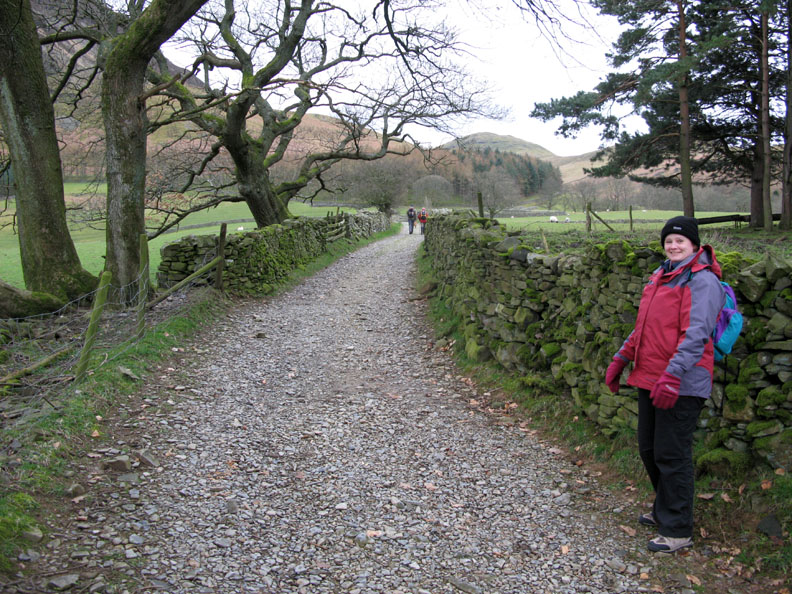
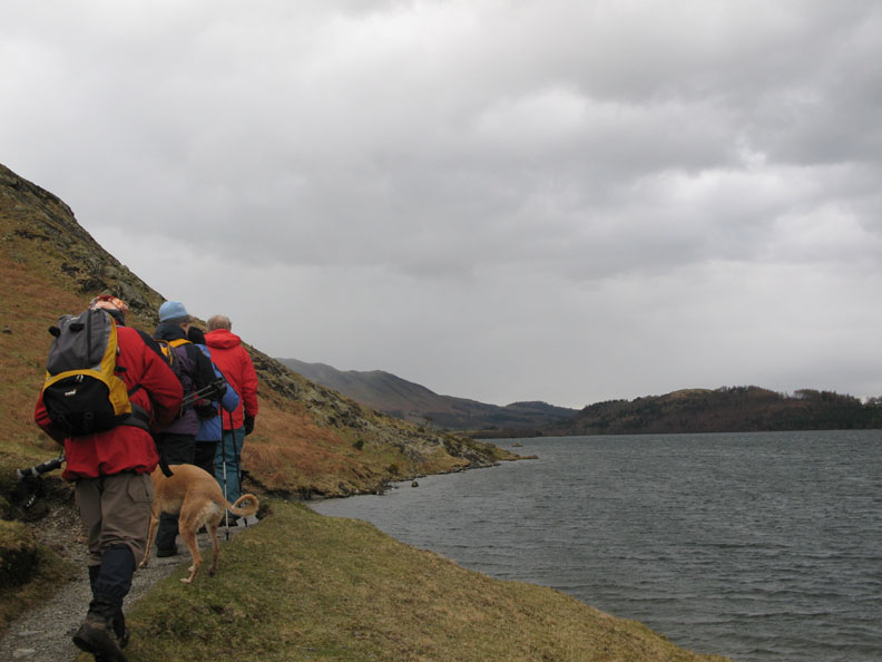
Underway . . . Susan on the Mosedale track towards the base of the fell.
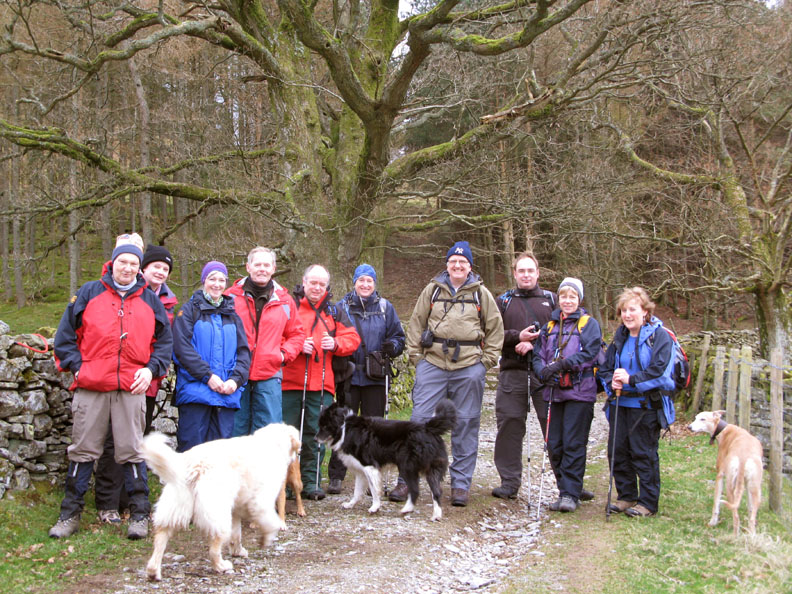
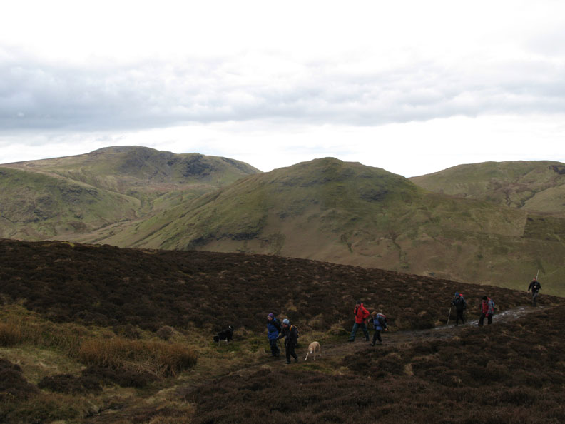
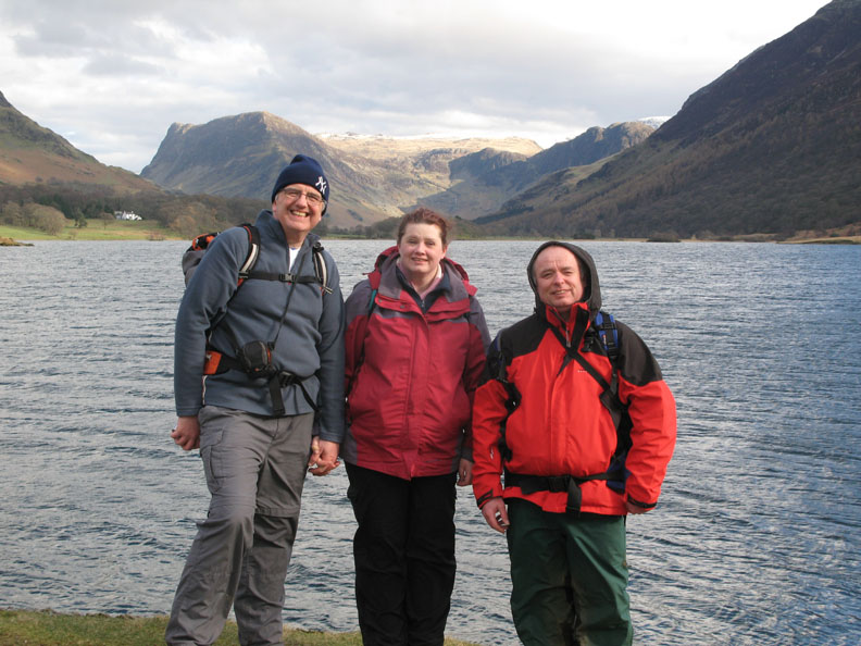
A quick stop at the fell gate for a group photo John, Susan, Liz, Barrie, Paul, Lorraine, Ed, Steve, Jo and Ann. (Eleven including myself)
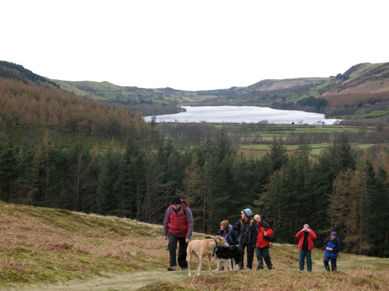
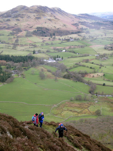
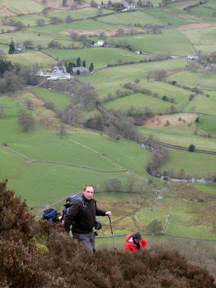
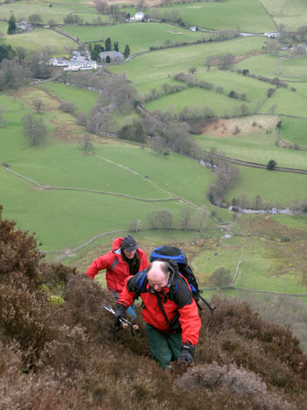
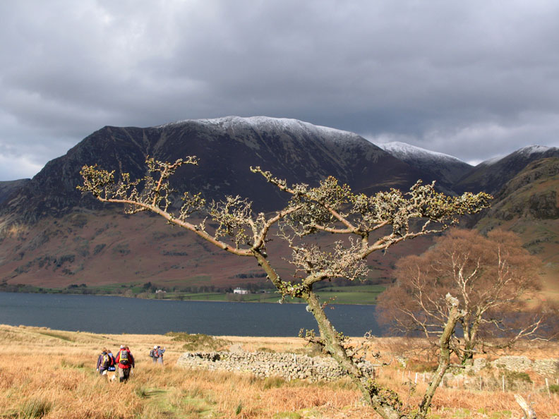
Best foot forward as we climb above the forestry.
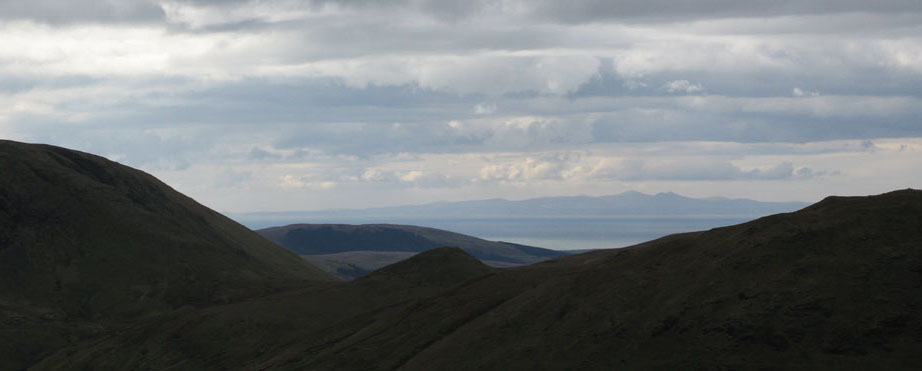
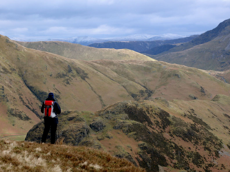
Visibility is excellent today despite the overcast nature of the weather. Behind us Loweswater and the Solway Estuary with Bengairn mountain (391m and 31 mile away) plus several snow capped Scottish peaks in the far distance.
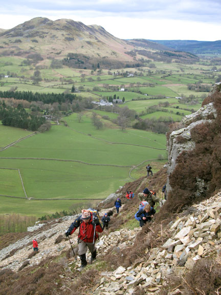
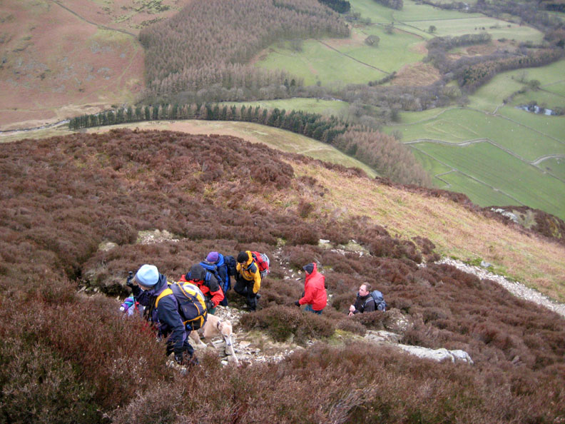
It's not all cliff-edge exposure. There are several 'steps' on the way up where the ground levels out slightly before climbing again.
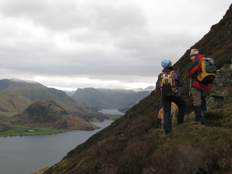
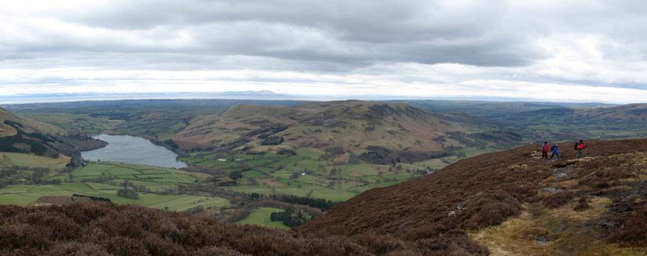
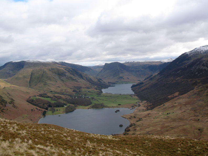
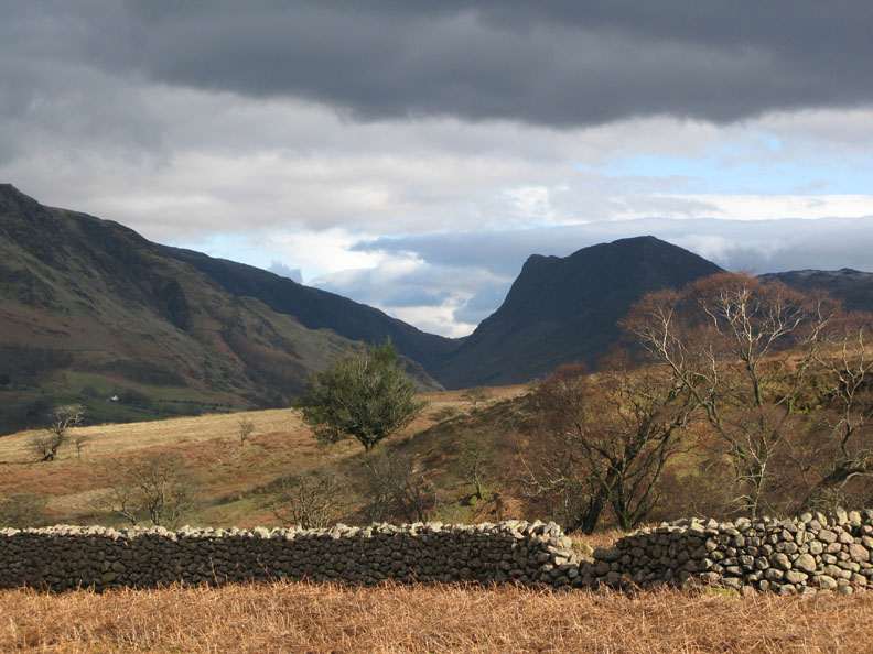
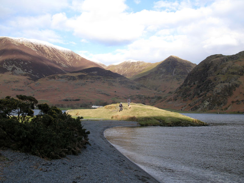
From two thirds of the way up we get that wonderful round-the-corner view of Rannerdale, Buttermere and Fleetwith Pike.
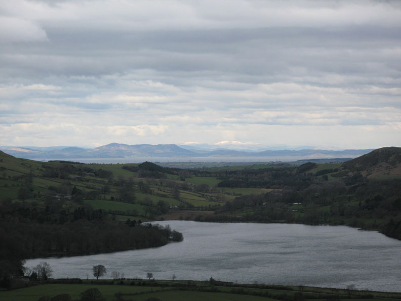
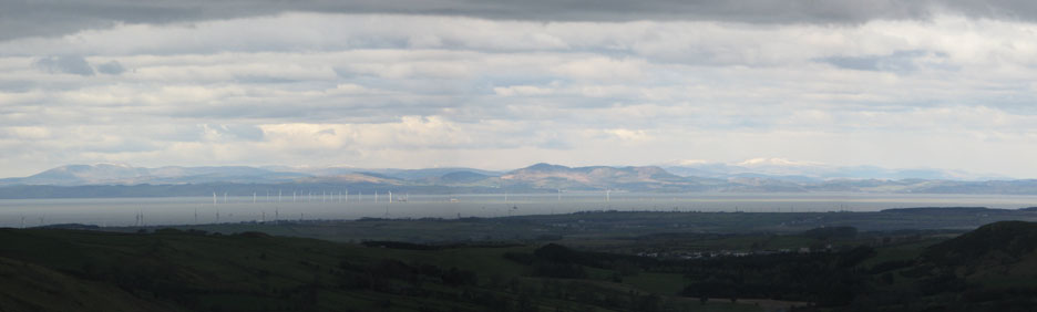
The final level section . . . the top ! From here the full extent of the Solway can be seen, from Workington north towards Silloth. On the other side it's Kirkcudbright north to Annan, with Criffel in the centre catching the sunshine.
A close up here of the Galloway Hills The ever growing white pylons of the Solway wind farm are beginning to dominate the main channel of the estuary. Presumably that is the Rhinns of Kells with snow, in the far distance.
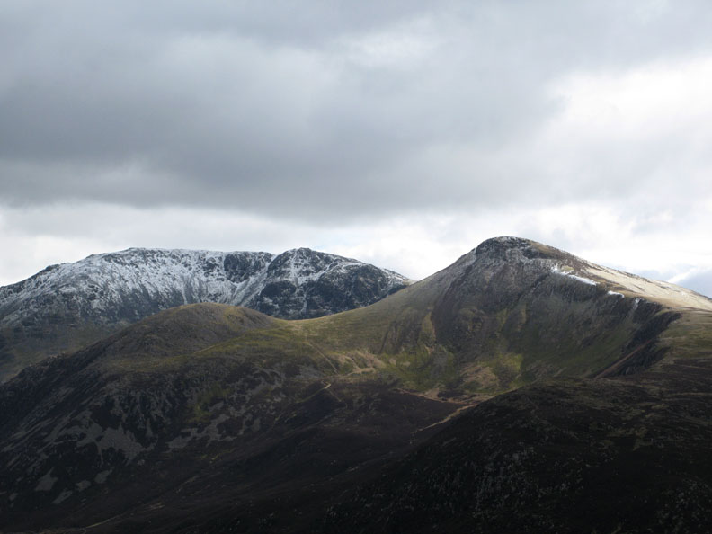
Closer to home . . . we reach the northern summit of Mellbreak and look out on the snow covered High Stile Ridge.
A straight forward, if rather boggy walk took us across to the southern and main summit of Mellbreak. In the background, Great Borne, Hen Comb and Gavel.
From near the top the Isle of Man made an appearance through the gap. Snaefell summit just tops the two thousand feet mark, in fact it reaches an altitude of 2019 ft ( 621m) In the photo, the near peak is Floutern Cop and the darker, forested one is Dent Fell.
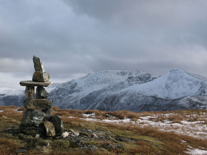
Mellbreak Summit Cairn from my walk a few weeks ago. [ Hold your cursor over the photo to see how it looked to Ed when he arrived today ]
That smile says it all . . . 214 completed !
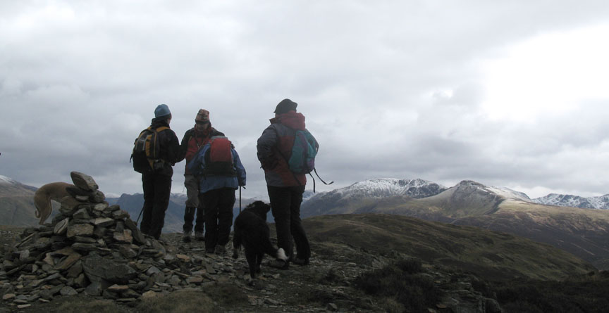
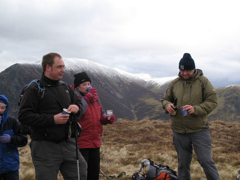
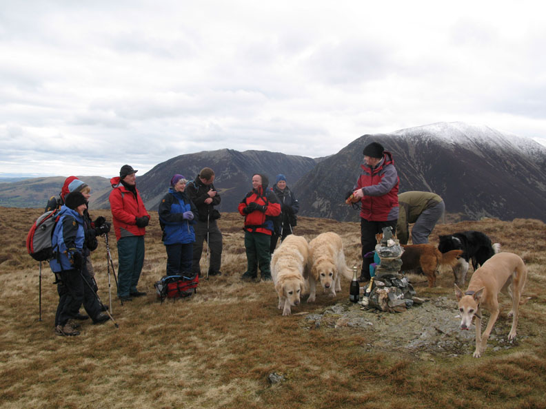
Congratulations to Ed for finishing the Wainwrights. He hands round a glass, or should we say a cup of cheer to all in attendance. The crowd gathered to toast the occasion.
The summit party . . . plus five dogs . . . and a sandwich.
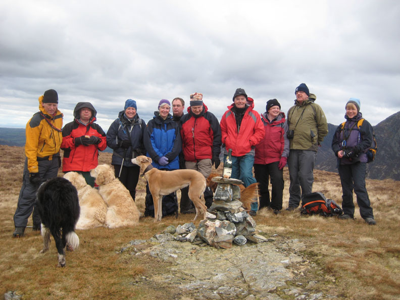
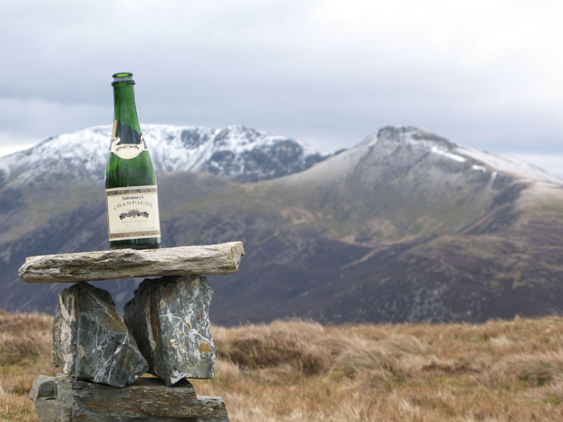
An artistic shot before we packed the empties away.
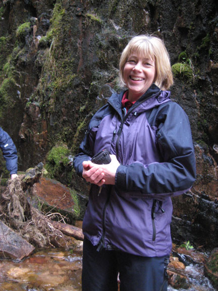
Time for lunch and we look for somewhere a little more sheltered just below the summit. Here Lorraine looks down on Rannerdale Knotts, her view extending to a snow covered Helvellyn in the far distance.
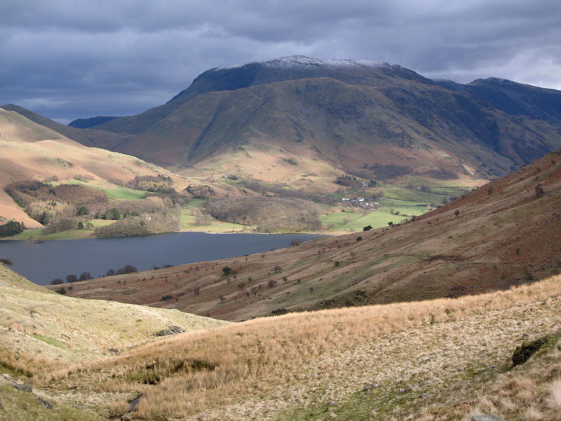
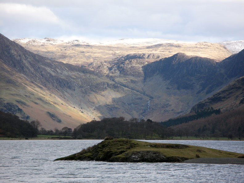
Crummock Water and Buttermere with Fleetwith Pike facing us at the far end. Not a bad view for a lunch spot.
As we sat and chatted, the sun started to break through . . . here onto the higher slopes of Red Pike.
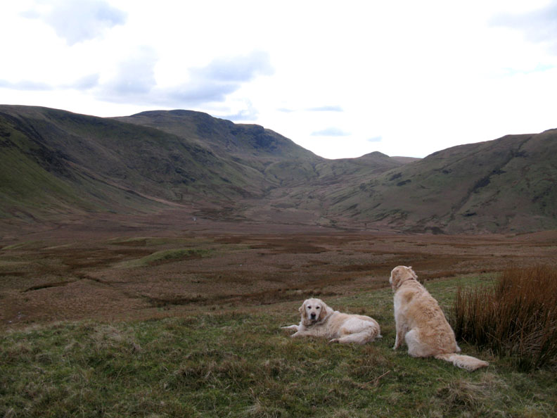
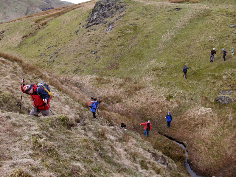
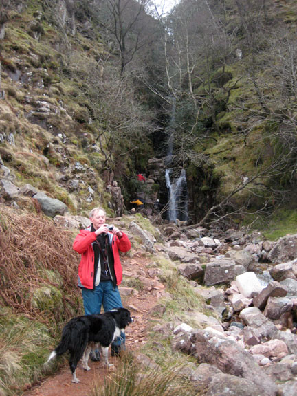
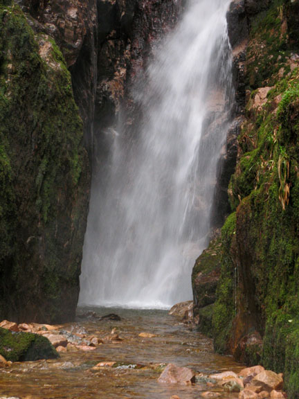
Ed suggested we extend the walk slightly to include a visit to Scale Force. Harry and Bethan look out across the damp and soggy Mosedale to Floutern Pass and Great Borne.
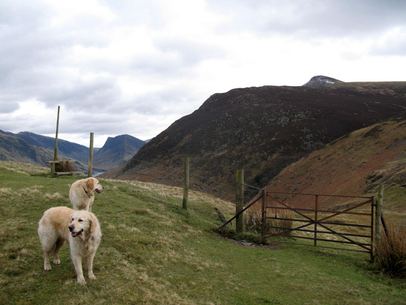
We needed to divert across to the gate to reach Scale Force which is hidden in the wooded ravine seen behind the left hand gatepost.
The gate led down to a steep but accessible crossing of the other tributary of Scale Beck.
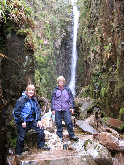
Re-gaining the path on the southern side, we walk down towards the falls. As we did, the sun started to shine more strongly, giving us beautiful light and shade patterns on Buttermere.
Grasmoor now has sunshine and it's white cap shines with renewed intensity.
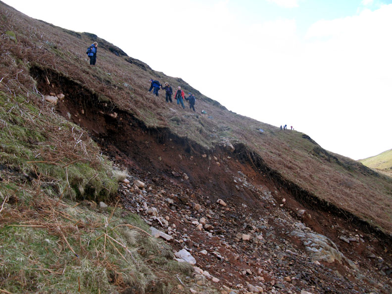
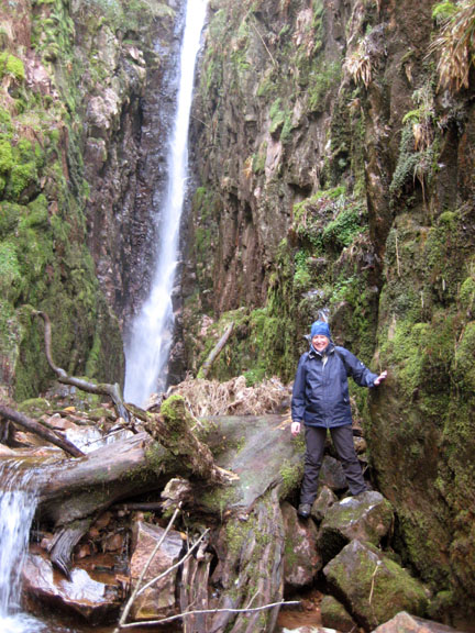
Oops . . . the winter storms saturated the ground and caused a rather large landslide, so we have to divert upwards. I'm standing on the path and the original route of it can be seen on the opposite bank, across the void.
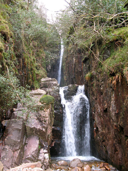
With care, due to the damp and slippery rock, you can climb up the left hand side and gain access into the deep chasm.
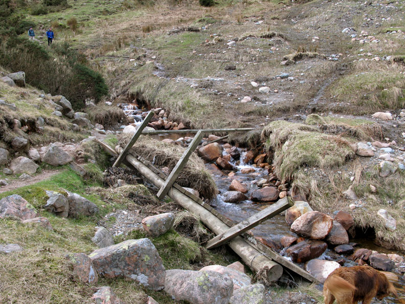
Sight seeing done, we followed the path down alongside the beck to the bridge where the other tributary joins the main stream.
Unfortunately it has been washed away in the winter storms so with low water levels, a simple fording of the beck was all that was needed.
Down through the old field system and past a few well hidden ruins of old houses. The sunshine adds light and shade to the wall and distant Honister Crags.
An aged Blackthorn enjoying spring warmth is set off beautifully by the dark, heather clad side of Grasmoor behind.
Low Ling Crag with the shapely Whiteless Pike behind.
Ed, Susan and his brother Paul enjoying the moment on Ling Crag.
As we leave, we looked back on the sunshine at head of the lake. It has now spread across the high fells from Grey Knotts to the slopes of Green Crag.
Ahead there's grey weather and a slight wintery looking shower, reminding us that it is still only March. The northerly wind would bring it our way but thankfully it wasn't too heavy.
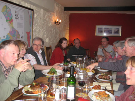
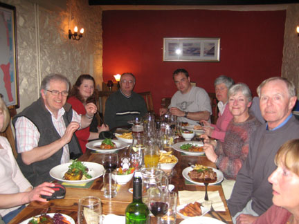
Circle completed as we find ourselves back at the signpost to nowhere. - - - o o o - - - There followed a short intermission while we adjourned for refreshments and a change of clothes before returning to the Kirkstile for the evening. - - - o o o - - -
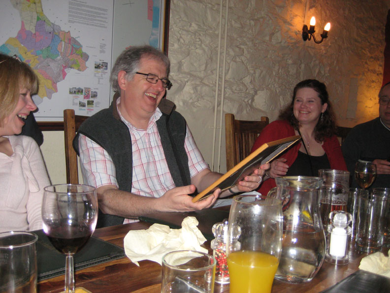
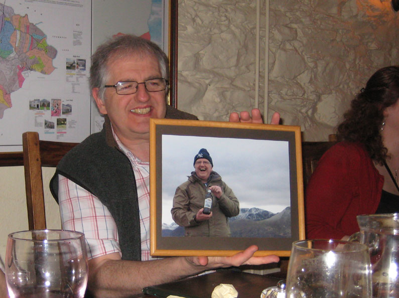
On downloading the photos, one particular one caught my eye so a quick bit of computer printing, add a respectable frame, get everyone to sign a label and hey presto . . .
Ed completing his 214 Wainwright summits . . . 28th March 2009. - - - o o o - - - Click here or on the photo for a brief 3 minute video of the day. The video should open and play in your Windows Media Player. [ It may take a minute or so to download on slower connection speeds - please be patient] - - - o o o - - - |
Technical note: Pictures taken with with my Cannon G7 or Ann's Ixus 75 Digital camera. Resized in Photoshop, and built up on a Dreamweaver web builder. This site best viewed with . . . a time honoured tipple at the top. © RmH.2009 # Email me here # or leave me a Guest Book Entry Previous walk - 25th March 2009 Suunto / GF Great Wood A previous time up here - 6th March 2009 Mellbreak at a run - well part of the way
|