|
|
|
 |
Remember: Press F11 for a
full screen view of this page. |
Web Counter when published 2 250 900 |
|
" From Germany to Scotland " Date & start time: 24th September 2025, 10am start. Location of Start : By the red phone box, Loweswater, Cumbria, Uk. ( NY 143 211) Places visited : Allonby, Abbeytown, Anthorn, Carlisle, Gretna Green, Caldbeck, Whinlatter. Drive details : 110 mls drive around the north Cumbria coast with a hop into Scotland. Highest point : Good weather and Scottish icing on the cake. Walked with : Eike, Loes, myself and Dougal. Weather : Sunshine and summer clouds.
|
© Crown copyright. All rights reserved. Licence number PU 100034184. |

|
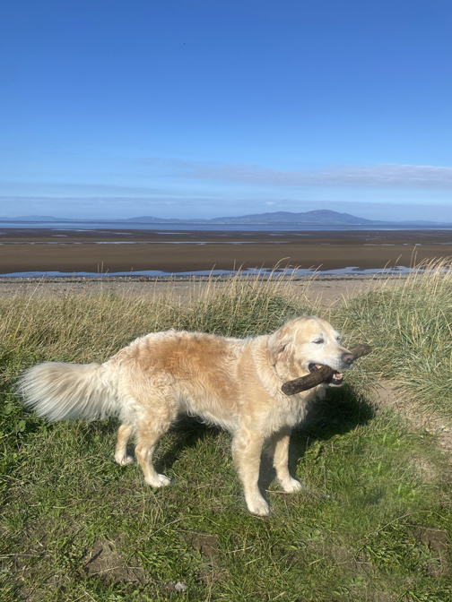
Loes's life long friend and one of the people she first met in England as an Au Pair, was Eike. She travelled over from Hamburg to work here many years ago and has returned the UK again, this time to holiday with Loes and myself for a week. The first few days they saw friends in Yorkshire but then she travelled over here, eager to see Cumbria and to "Visit Scotland", well cross the border into Scotland at least. Whilst I was walking with The Mob at the weekend, Loes showed her round West Cumbria, including visiting St Bees. Today we tried to make her other wish come true.
With a nice sunny day in prospect we set our sights on travelling north, across the border into Scotland. Should she take her passport ? . . . we assured her that it wouldn't be necessary.
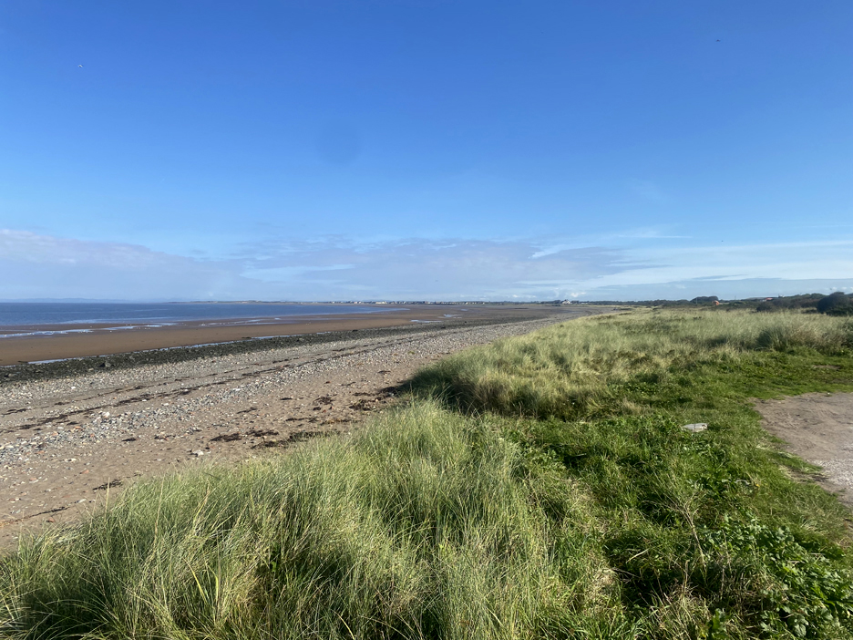
We chose a scenic route north, west to Maryport and then following the coast north as closely as possible till we get to Carlisle. This was the flat expanse of the Solway Coast, with the village of Allonby in the distance.
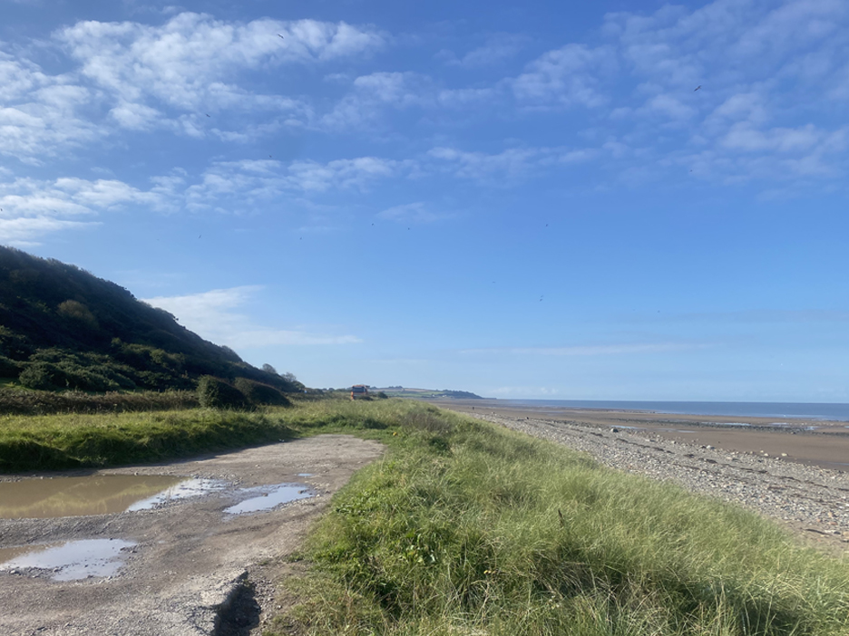
From our parking area we could also look south. There's a Roman Mile Fort on the top of the hill to the left and historic salt pans on the coastal flat land below it. Sadly the car park adjacent to the historic pans has been closed so they are too far to walk back to today, given what else we had planned.
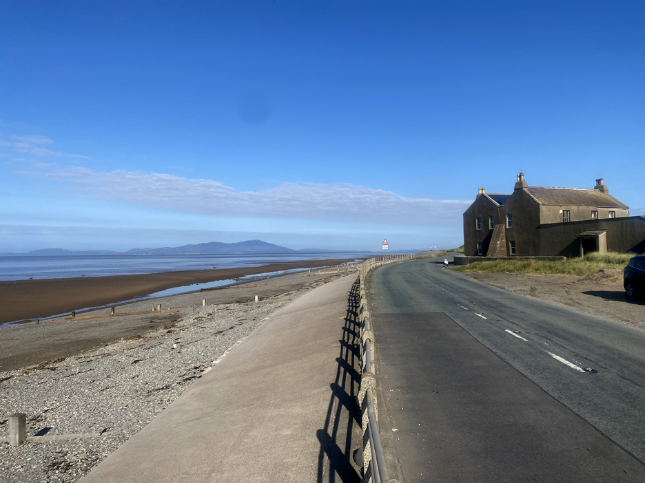
Seacroft Farm on the headland north of Allonby. In the distance is the familiar outline of Criffell, more usually seen from the high ground back home.
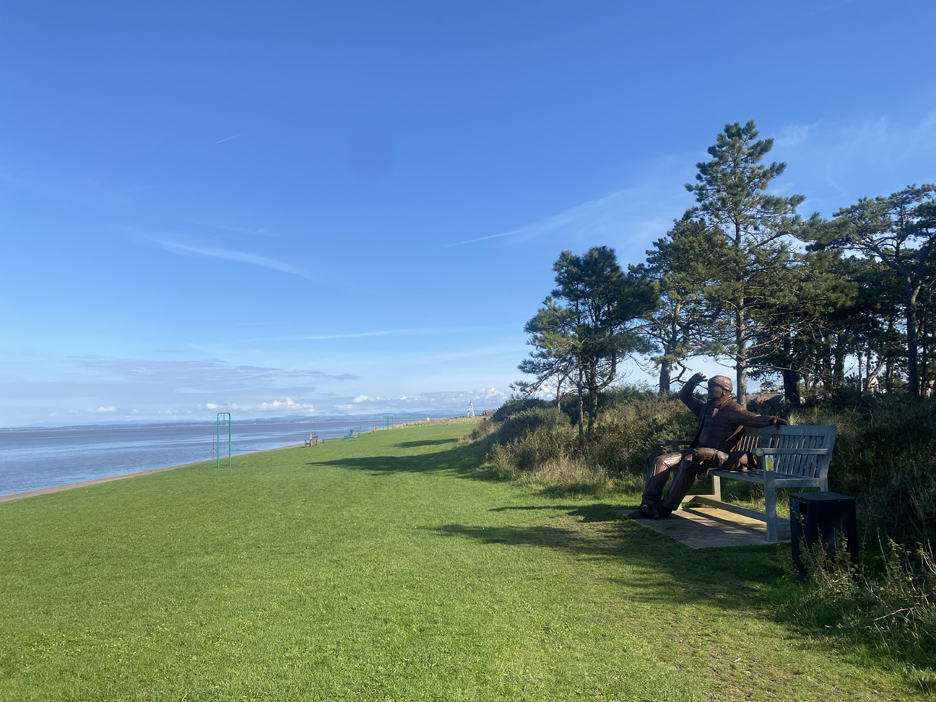
The sea front at Silloth has an added attraction to compliment the harbour and the beautifully grassed recreational areas. For those that bought the current year's Loweswatercam Calendar, you may recognise the gentleman looking out to sea as Mr August.
We head inland now as our direct route to the north is barred by the Skinburness Marsh and one of the many rivers heading out to the sea. As we drive east, we passed St Mary's Church and the remains of Holme Cultram Abbey, logically in the village of Abbeytown.
Following the coast once again, we turn at Angerton, cross the River Wampool and follow the road round to the village of Anthorn. It's quiet today but we did stop as our eye was caught by this public footpath sign heading out into the river !
The quick way south, but as with Morecambe Bay, the sand crossing can be hazardous. As it happens, this estuary goes by the name of Moricambe Bay . . . rather confusing if you're not careful or you are a bad typist.
This area was important during war time as it hosted an important RAF Base . . . Anthorn is now mildly famous for a large array of radio masts. " Anthorn Radio Station transmits two main signals: a Very Low Frequency signal for communicating with submerged submarines and the MSF signal, which is a Low Frequency transmission that provides the UK's national standard for time and frequency, used by radio-controlled clocks and other devices that need accurate time information."
The old aerodrome provided enough open space for the many radio masts required . . . it is not recommended to try and land a plane there nowadays.
Our road around the coast meets another obstruction and is diverted inland once again, this time by the channel of the River Eden. The Eden and the River Esk join here to form the Solway Estuary. It historically was a barrier to navigation for larger boats heading for Carlisle, but the problem was solved for a while by the next village we come across.
Welcome to Port Carlisle . . . and the Hope and Anchor Pub, sadly closed today !
The answer to sea going vessels getting to Carlisle was to build a harbour and a wide canal . . . this was the position of the old lock gates. The 'island' opposite was the outer wall of the harbour. [ Clicking here or on the picture takes you to a previous visit here, click the backspace arrow to return here ]
The canal basin is now abandoned and silted up.
The canal lasted twenty years but was filled in and superceded by a railway built along the same route, which made the journey to Carlisle quicker and easier. The railway carried grain (for the Carr's Biscuit Factory) and other goods to the city, but also brought Carlisle workers here as tourists, for a day at the seaside.
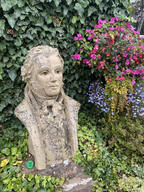
King Edward 1st died whilst on a crusade to defeat Robert the Bruce and bring peace to the border region. [ Sadly he died, not of battle wounds but of dysentery, nowadays treatable medical condition often caused by bad hygiene.]
Next to the statue was a conveniently situated pub AND they were serving lunches . . . bonus. - - - o o o - - -
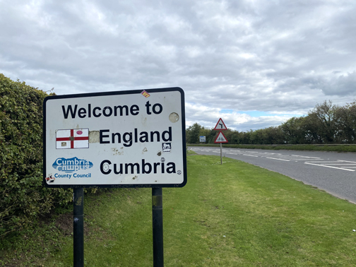
Suitably refreshed, we headed over to Carlisle and then headed north for Gretna.
Gretna Green became famous as the place that young couples could elope to, in order to get married. Marriage rules in Scotland were more relaxed and you didn't need advance notice or parents permission as in England. Couples made declarations and swore promises to each other, then the marriage was sealed by a strike of the hammer on the Blacksmith's anvil.
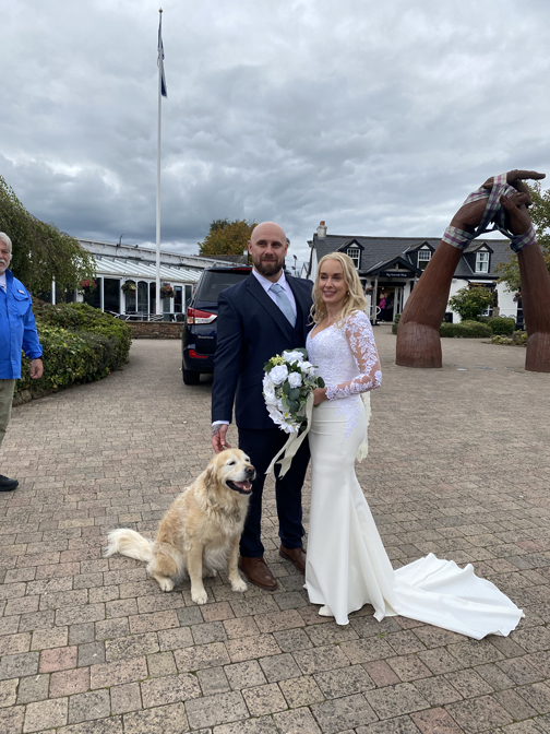
As we walked around, Dougal made friends with the happy couple . . . it's not every day that you get your marriage photo taken with a famous dog ! Many thanks to whoever you are . . . and all the best for the future.
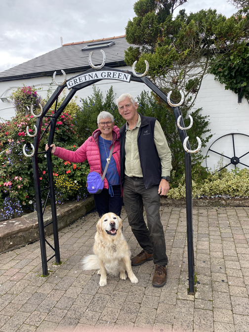
Our walk around the centre included a longed-for picture of Eike, taken outside the Blacksmith's Shop at Gretna Green.
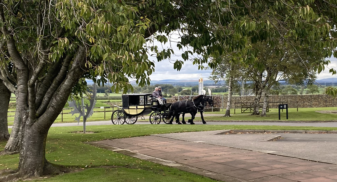
All the romantic trimmings for the great day were on offer, including this fine horse drawn coach.
Not one to travel the fastest route home, we diverted from the motorways and the A roads and headed south via the village of Caldbeck, to show Eike some slightly different Cumbrian scenery on the way home.
Heading over the Aughtree Fell road, a slightly elevated moorland roads giving us familiar views of Criffel once more.
Dropping down to the village of Uldale, with views across to the back of Binsey Fell.
The Vale of Lorton . . . seen from the 'gated road' that goes from Whinlatter Pass, directly towards Loweswater. Fine . . . you wanted the views . . . but one of you has to open the gates as well !
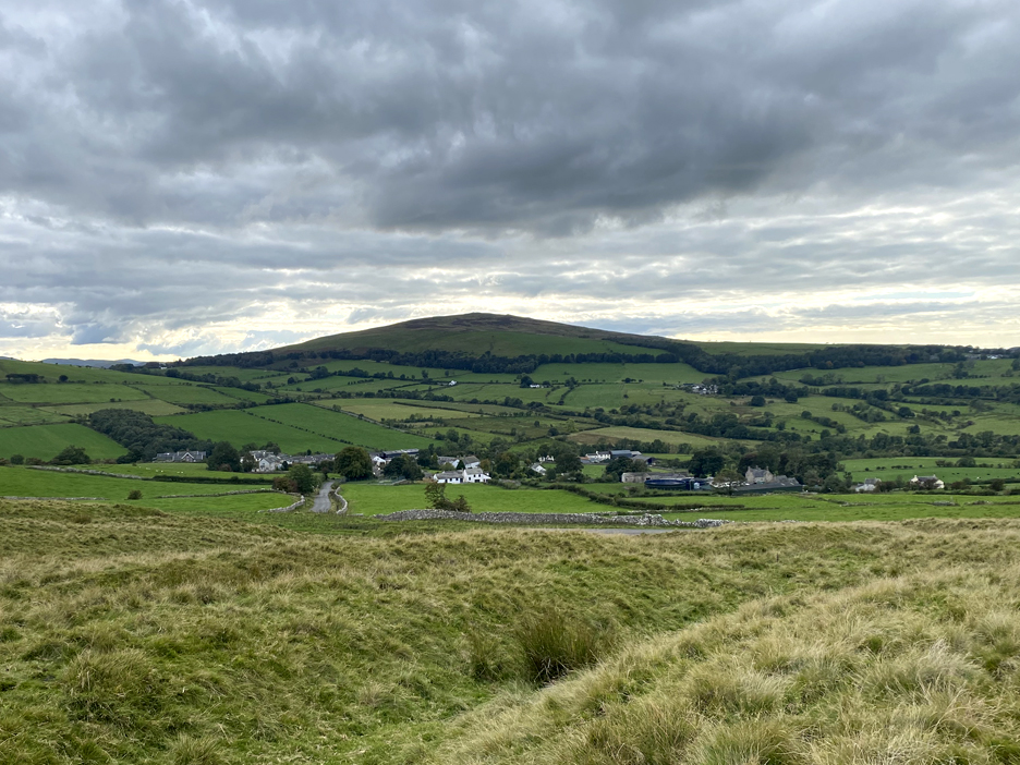
Familiar views of home . . . the head of the Lorton Valley with the darker, double summit of Mellbreak to the left. No cooking or washing up tonight . . . The Kirkstile Inn is doing the honours for us. Eike's home to Hamburg tomorrow evening . . . hopefully she's enjoyed the whole of her week in Yorkshire, Cumbria and yes . . . Scotland. - - - o o o - - - Technical note: Pictures taken with my iPhone 11pro mobile phone camera. Resized in Photoshop, and built up on a Dreamweaver web builder. This site best viewed with . . . plenty to see and sufficient time to show people the area. Go to Home Page . . . © RmH . . . Email me here Previous walk - 21st September 2025 - Mob Mardale Ill Bell Walk A previous time up here - 21st April 2022 - Burgh by Sands - The Mob Next walk - 28th September 2025 - Mob Walk - The Coffin Route
|