|
|
|
 |
Remember: Press F11 for a
full screen view of this page. |
Web Counter when published 2
140 900 |
|
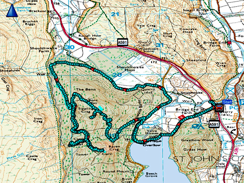
" Raven Crag with The Mob " Date & start time: 11th and 18th February 2024. 9.45am starts. Location of Start : Off road A591 at Legburthwaite, Cumbria, Uk. ( NY 316 194 ). Places visited : Bridgend Farm, Thirlmere Dam, Benn Man, Castle Crag Hill Fort, Raven Crag. Walk details : 7.25 miles, 1595 ft of ascent, 4 hours 30 mins. Highest point : Raven Crag, Thirlmere, 1,520ft - 461m. (approx 600 ft above lake level). Walked with : Peter, Hugh, myself and Dougal (Dylan stayed back with a neighbour) For the second walk: Peter, Ellie, Richard, Chris, Pippa and Ann plus myself, plus Dougal again. Weather : Overcast, low cloud at times, occasional sun, mild and no rain.
|
© Crown copyright. All rights reserved. Licence number PU 100034184. |
|
A great walk which Peter and I did twice on subsequent weekends. Peter was leading the walk for the Mockerkin Mob group, so he wanted to 'recce' the walk the weekend before. Hugh and I accompanied him on this first outing, but we were seven in total for the second walk a week later (Hugh couldn't make that). In between he turned the route around, so the second walk was anti-clock wise, which made sorting the photos rather more difficult !
A select band of three set off for Thirlmere, stopping briefly for this view from the Knobble Knott layby on Whinlatter. Keswick and the valley around Bassenthwaite had a misty inversion making it look colder than it actually was. - - - o o o - - -
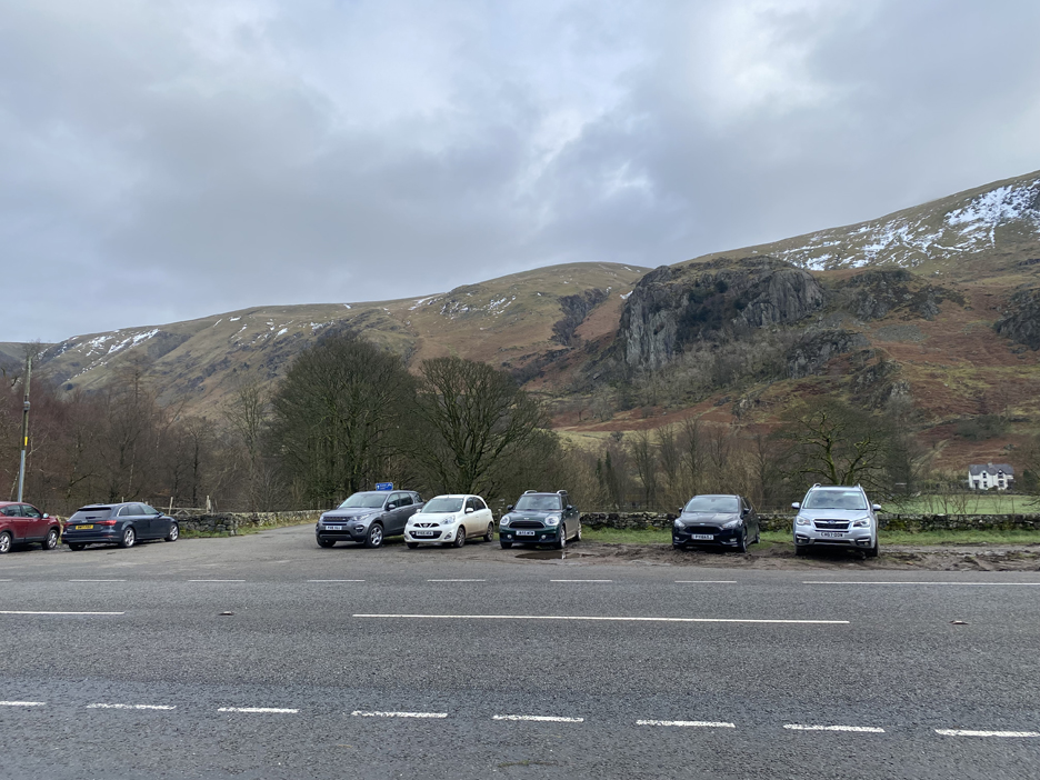
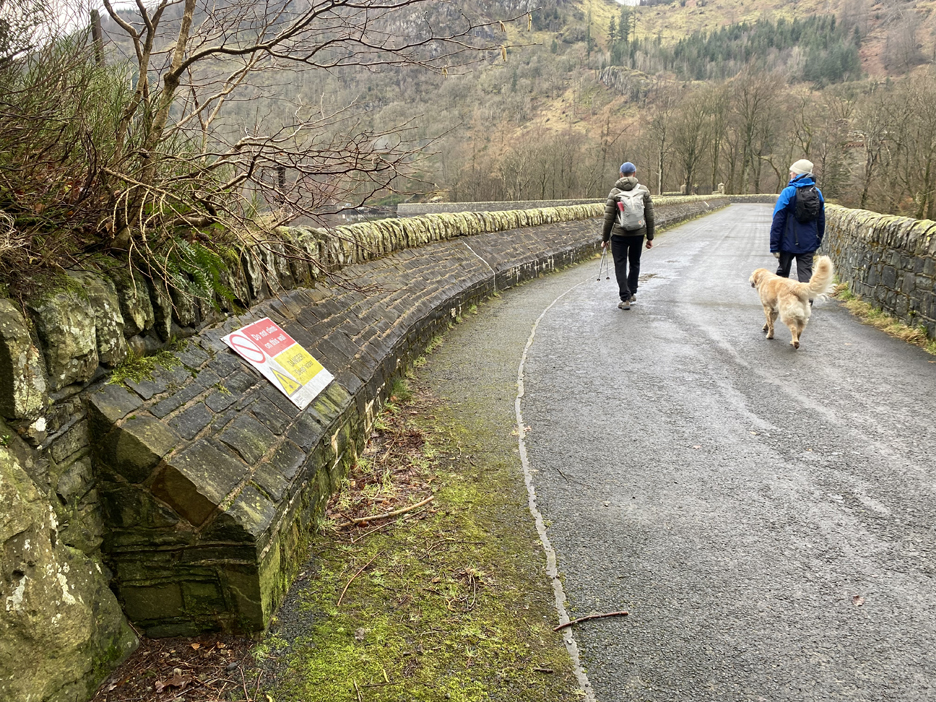
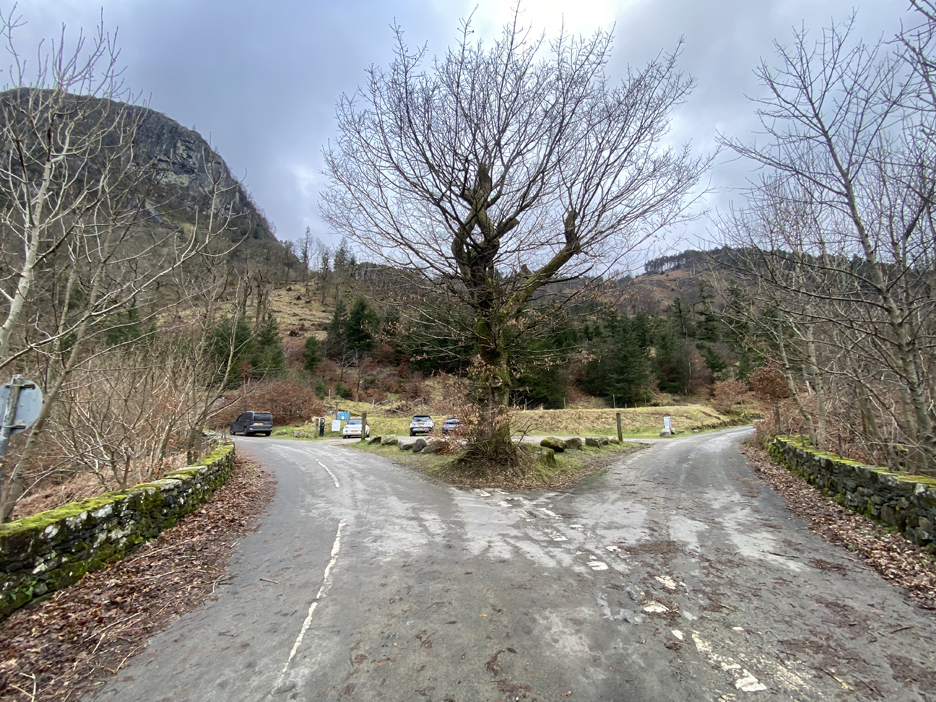
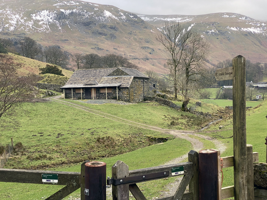
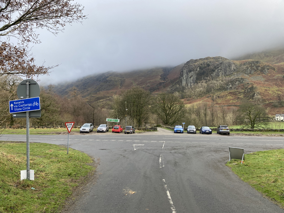
Parking on the roadside at Legburthwaite . . . the road over the dam is closed so what do they expect us to do ? The reports are that the back road is also blocked (which turned out to be only partially true) so this seemed to be a most sensible place to stop.
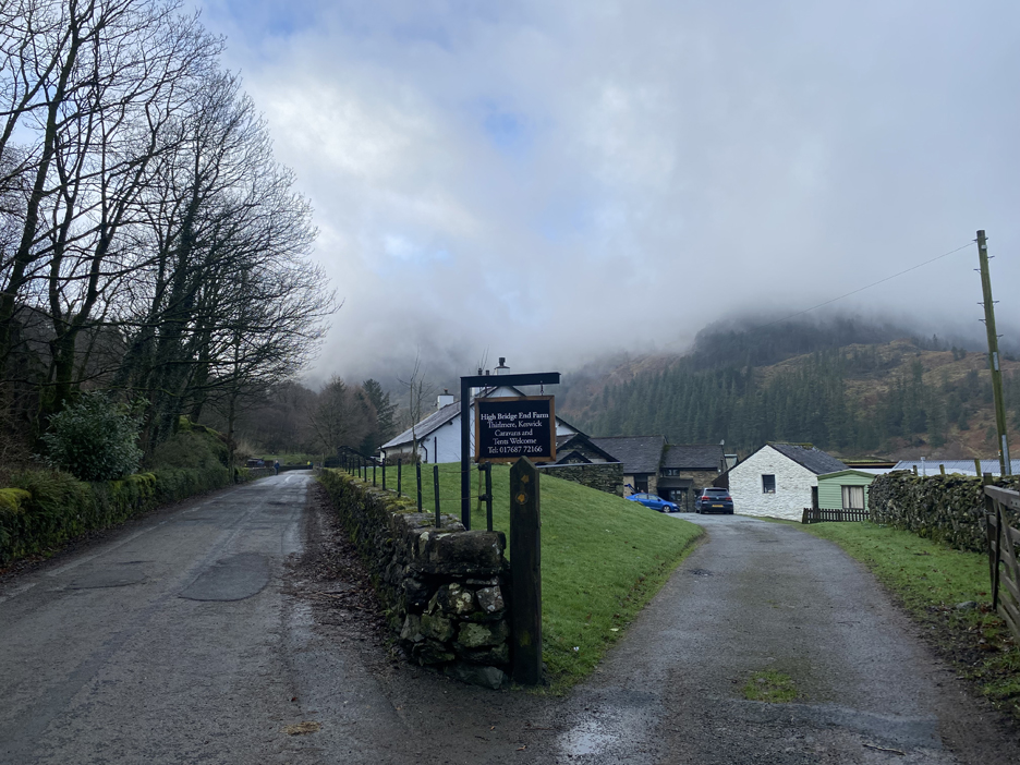
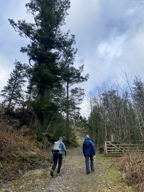
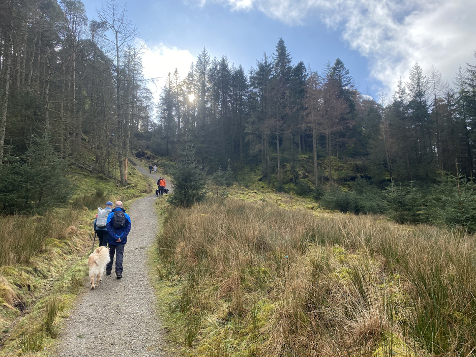
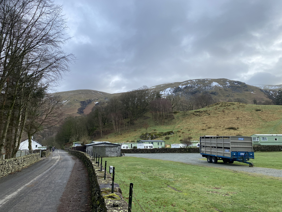
We headed off towards the dam, passing High Bridgend Farm and the caravan site slightly further up the road.
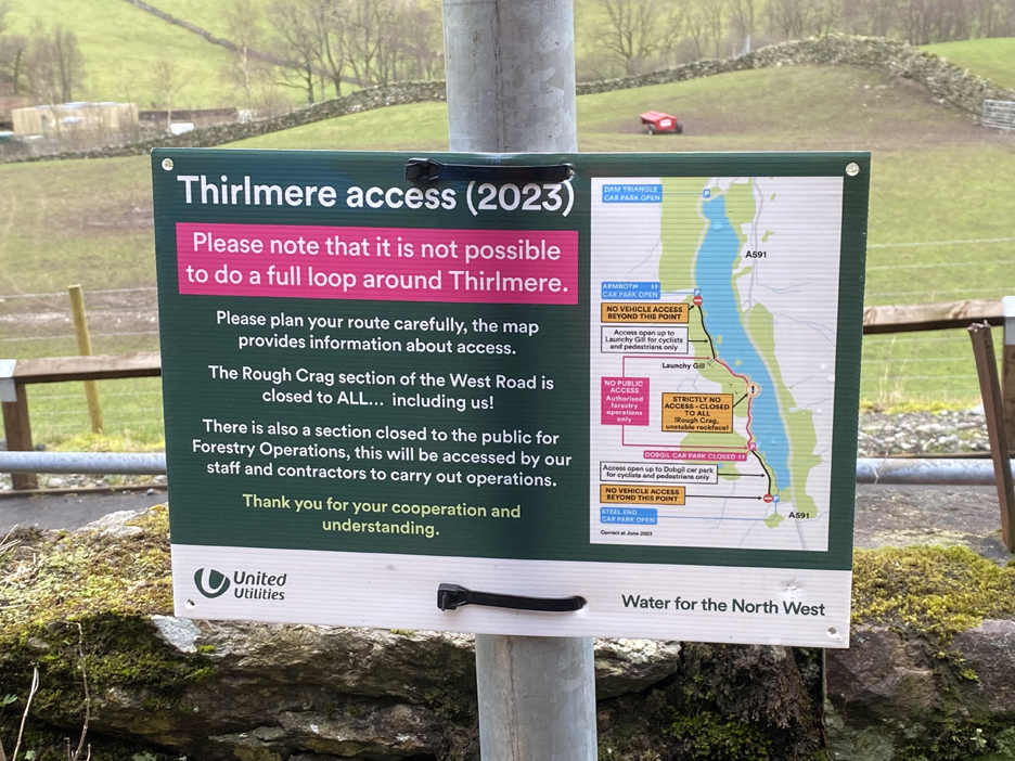
It appears the back road to the other side of the dam is still open, it's just the bit beyond Armboth parking area that's closed (unless you're a horse!). Even this sign is out-of-date ! For the latest news about attempts to re-open the roads, check out the "Keep Thirlmere Open" Facebook site.
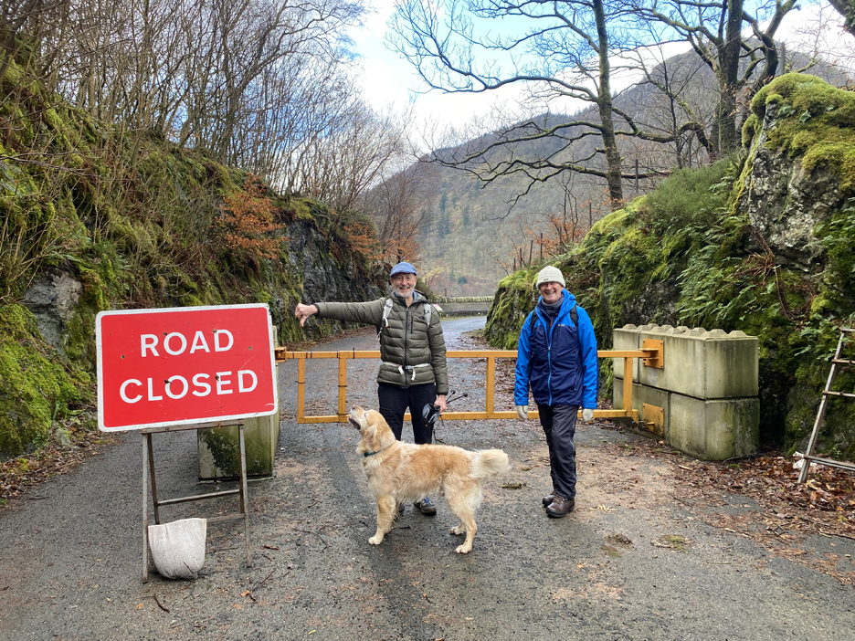
I asked Hugh and Peter to smile for the photo . . . which was the wrong emotion considering the sign.
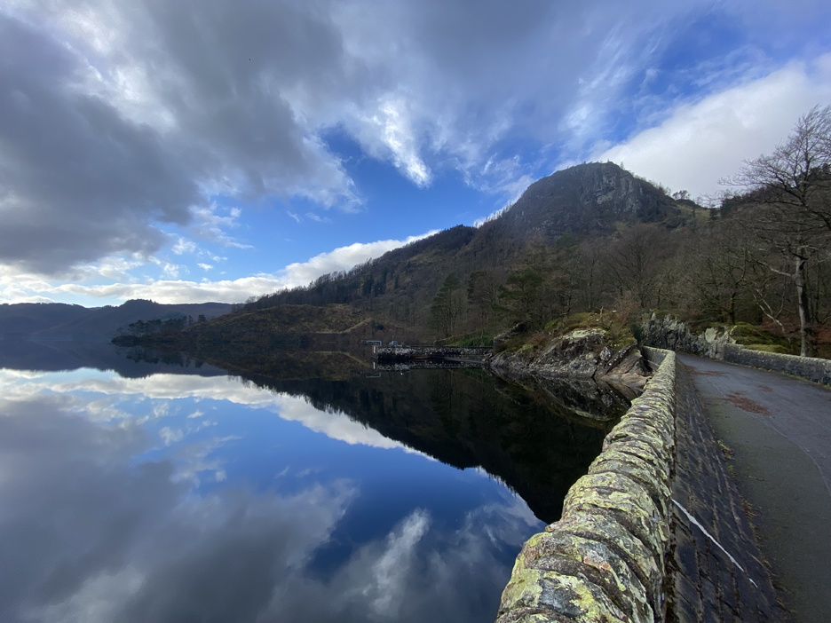
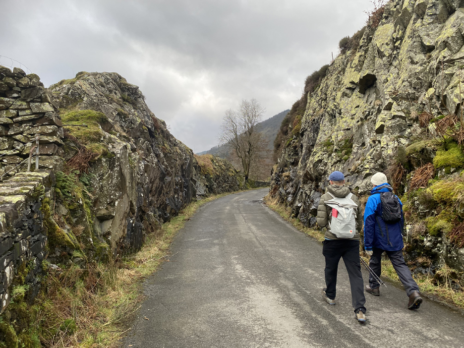
The dam road has been closed since this reinforcing buttress has been added to the wall, making the road seemingly too narrow for two-way traffic. While the general question of access is currently a hot topic, why can't they re-open this road to traffic, if only as a one way system ? Think of the tourism benefits.
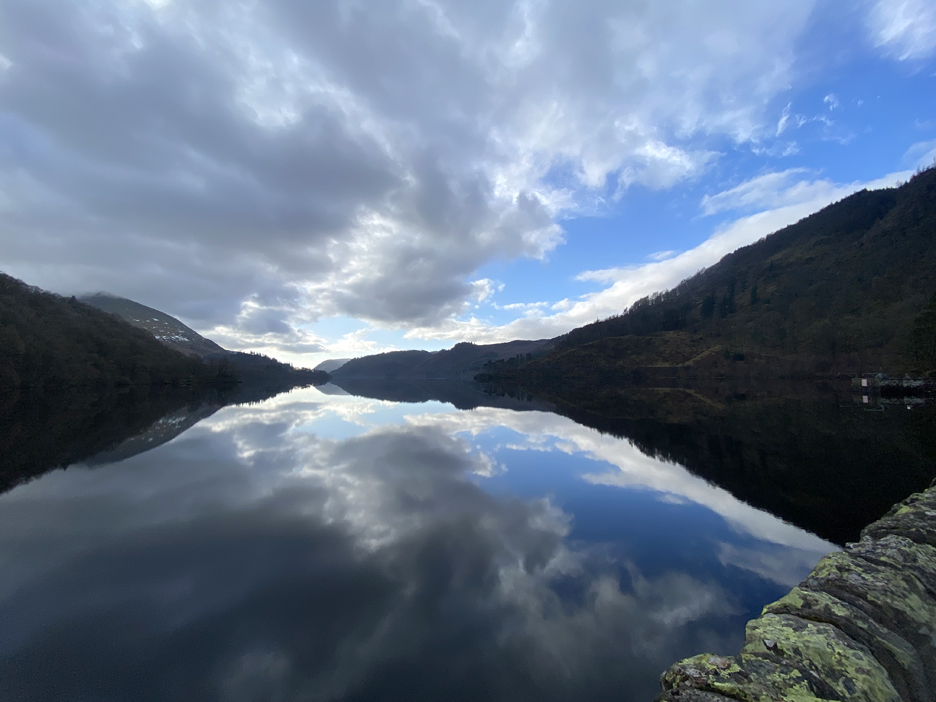
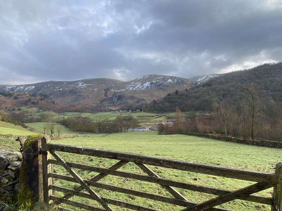
More people would be able to appreciate the views, just like the one we are enjoying this morning.
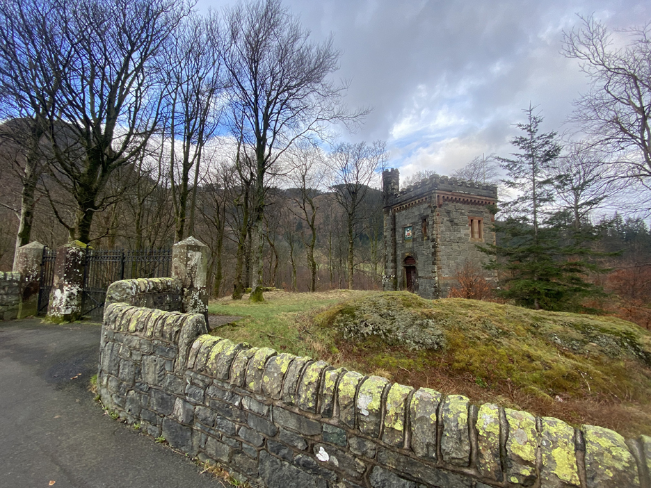
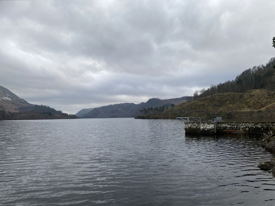
On with the walk . . . this is the Water Board's ornate control tower alongside the northern end of the reservoir.
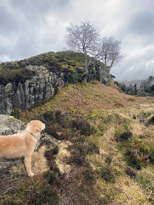
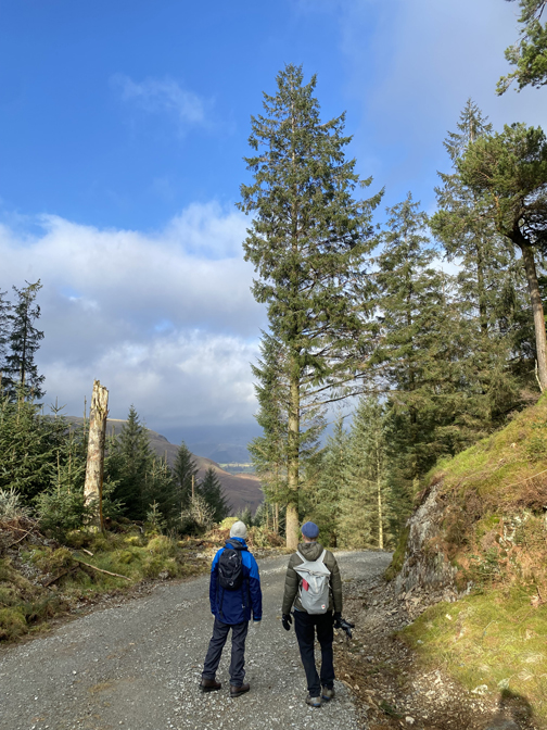
Our 'object of desire' is ahead . . . Raven Crag. Peter's planning next week's walk as a 'B' walk for the group, that should therefore be a less strenuous fell walk. Our aim on the first weekend was to check out the various forest tracks on offer and see which is the most suitable.
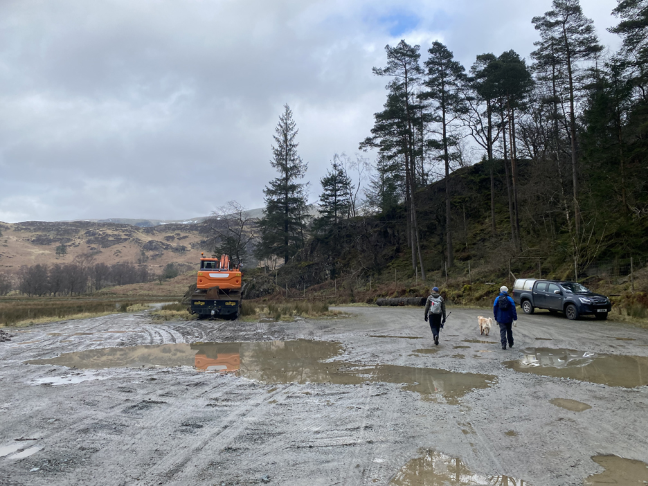
Cars ? . . . It seems they have driven in via the road from the A591 across Shoulthwaite Moss. This car park and the one at Armboth are therefore both open. We take a right turn here, seemingly heading away from the Crag, but that's the way we need to go.
The residual snow from the recent cold weather still hangs on in the hollows and gullies of the Dodds opposite.
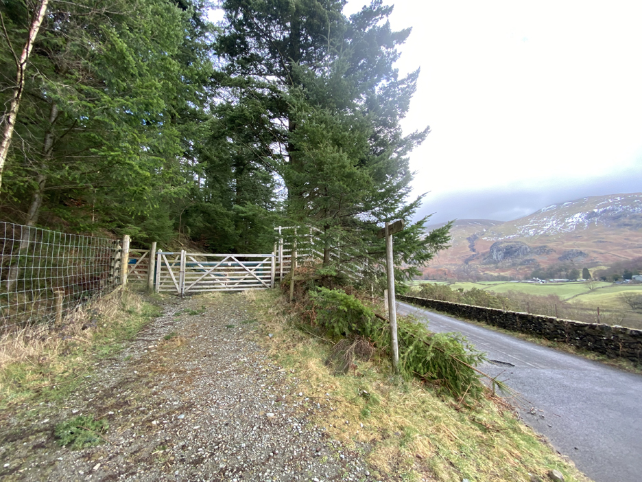
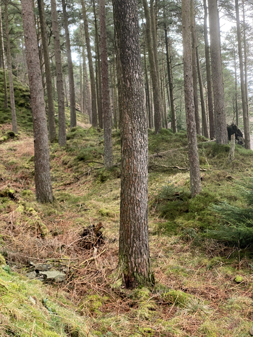
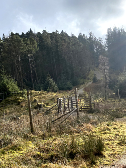
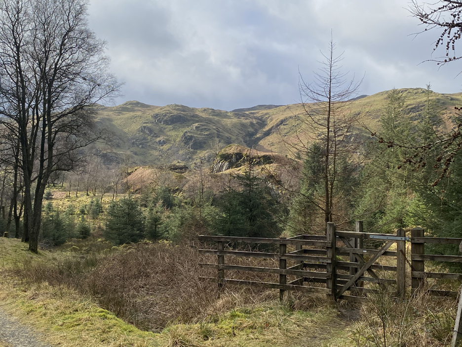
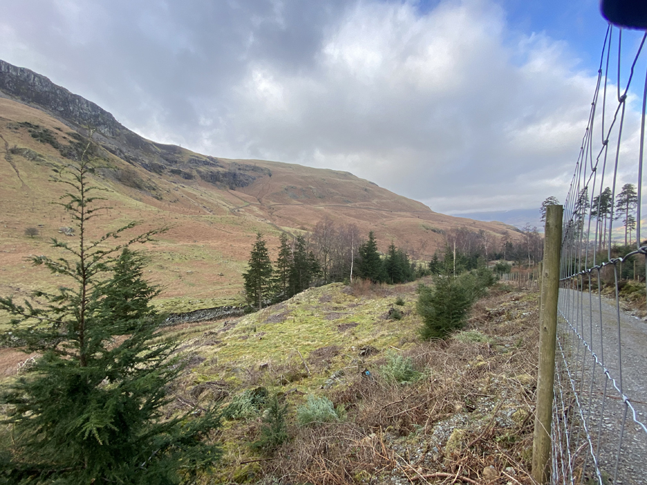
We pass the gate giving access to the direct walker's climb and instead head off into the forestry at this, the first wide gate.
All my maps show the forest track ending at this gate . . . but in fact it continues on.
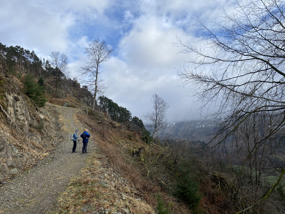
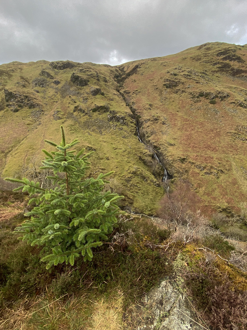
As we climb we enjoy lovely views across the valley . . . the top of the Helvellyn range was cloud covered at this point.
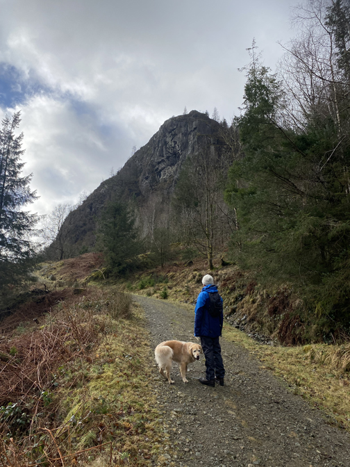
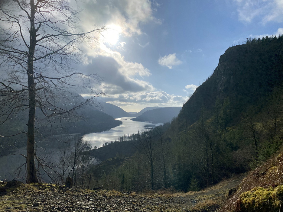
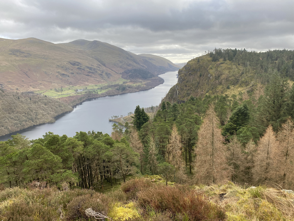
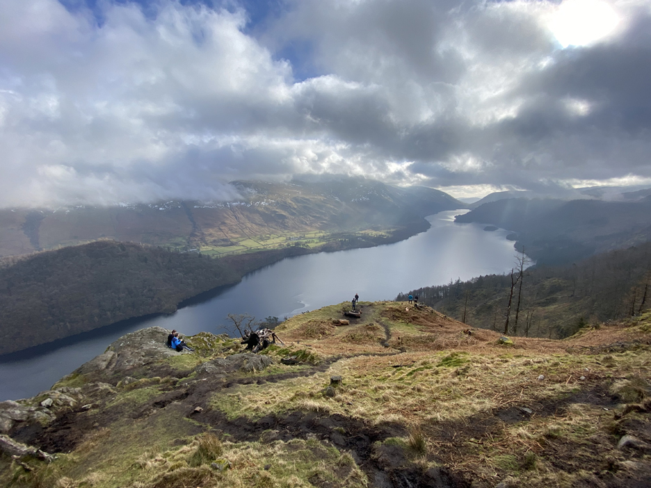
The best views were looking down the length of the lake. Raven Crag is the cliff on the right . . . home to the birds and to serious rock-climbers only.
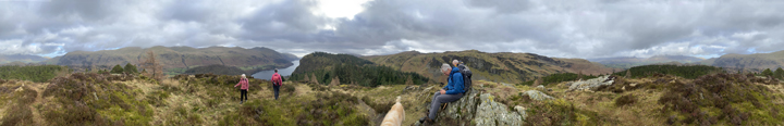
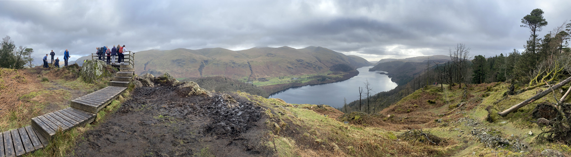
Feel free to take a big look around on this big value, no expense spared, 400 degree Loweswatercam panorama. Click
here or on the photo above for a oversized
annotated picture
(backspace to return here)
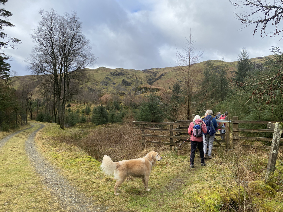
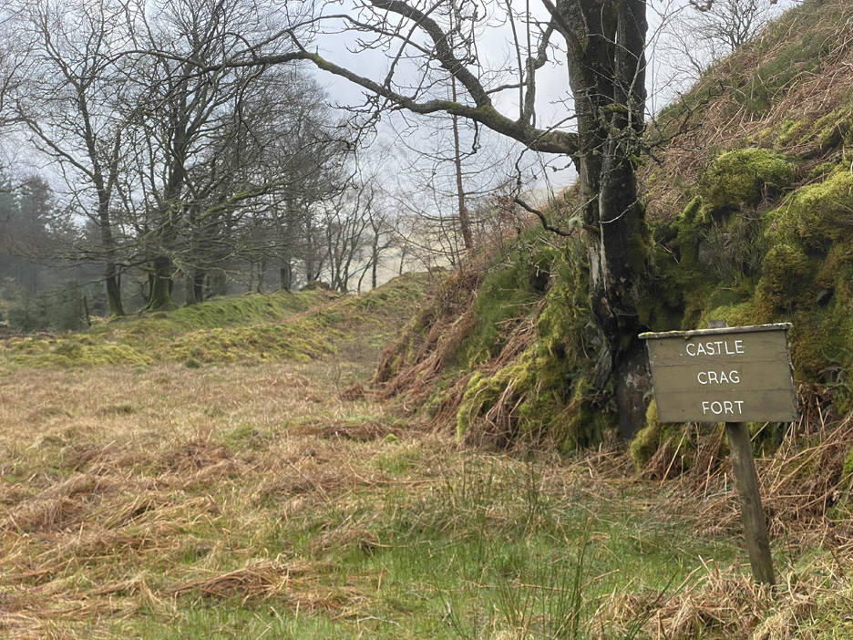
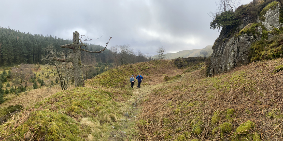
To the medieval hill fort it is then . . . taking the gate on the left.
The fort was probably constructed during the first millennium BC. It stands on the hilltop and is thought to have housed one or two families and to have been defended by an earthen bank with a ditch in front. The bank may have had a palisade wall on top. (ref: Westmorland Gazette ) Peter and Hugh give scale to the earthworks that once created a defensive enclosure around the crag. Little information is available on 'tinternet but this link adds a bit of information.
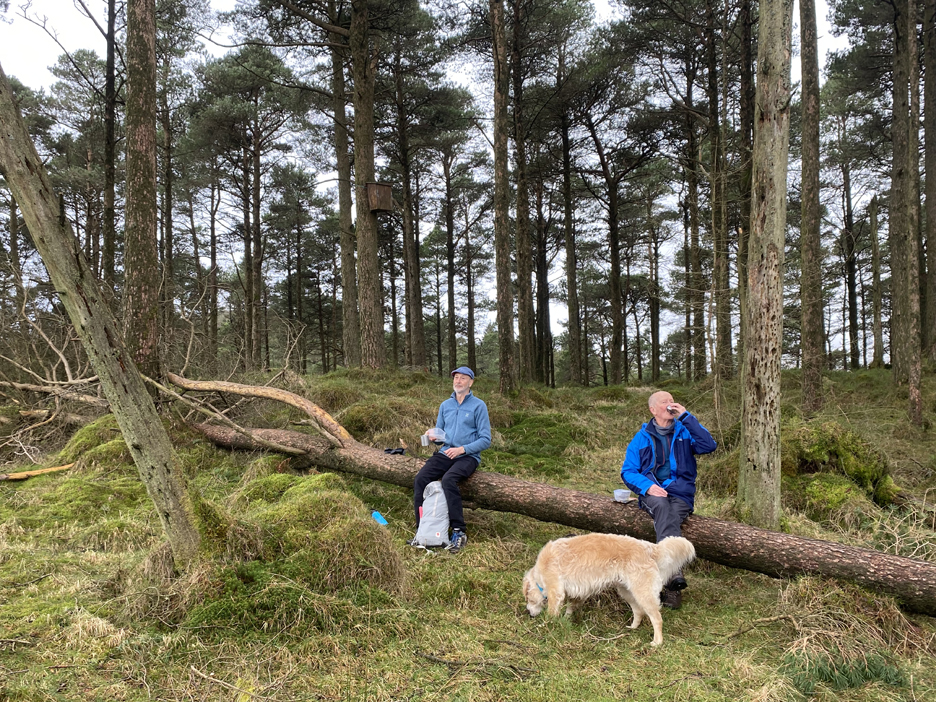
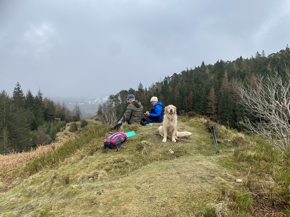
Peter and Hugh enjoying lunch, Dougal waiting for his. The weather on the first walk was cloudier later in the day and the tops of Helvellyn above the snow line were often hidden.
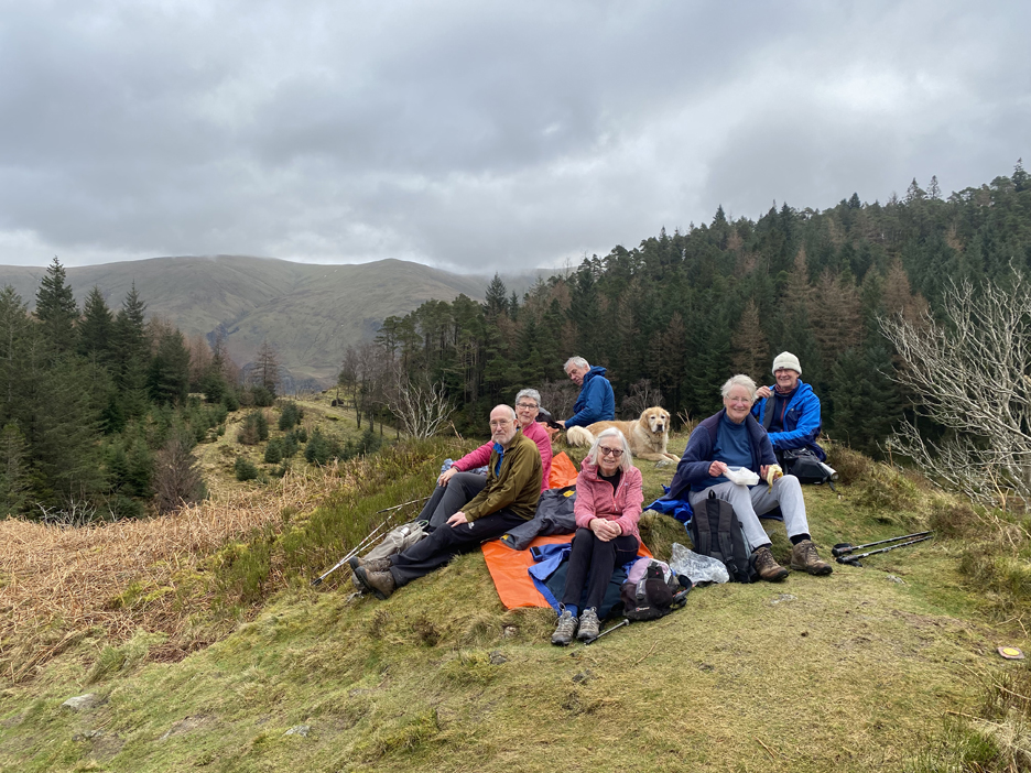
On the Mob visit the following week this was our coffee stop and as you can see, the weather on the high fells was better but the snow had gone. Roll call (l to r) Chris, Pip Ellie in front Richard behind, Ann and Peter plus myself behind the camera.
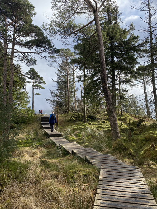
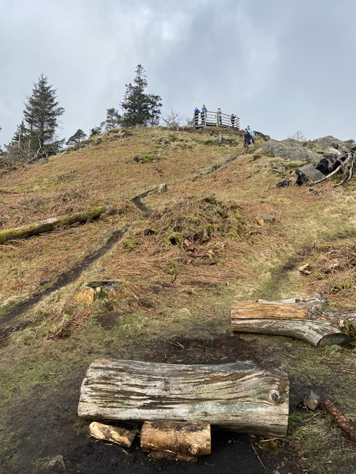
We retraced our steps and took the path to the summit of Raven Crag.
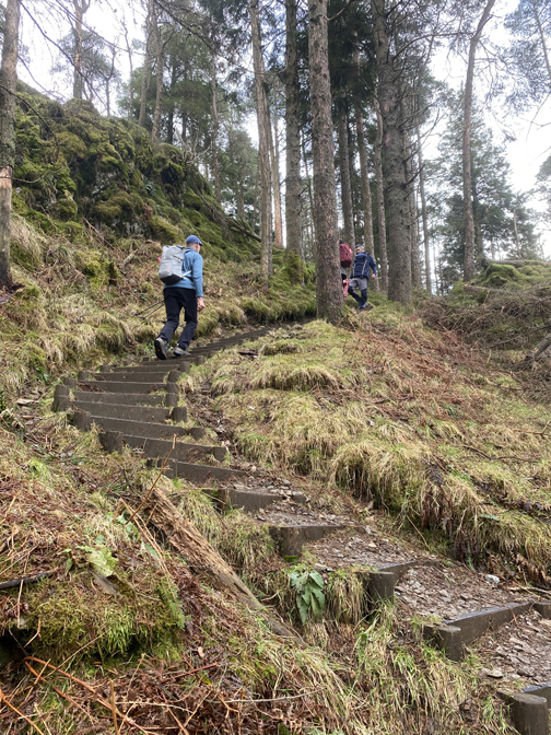
Peter suggested there were about two hundred steps to the top . . . and that we could count them ! I calculated about 182 timber steps and a further 42 up and over the boardwalk, Other people's figures differed slightly by one or two, depending each person's definition of a step.
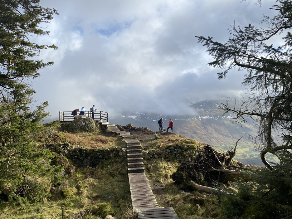
What was not in doubt was the dramatic climb to the summit and the view once you get there.
Click here or on the picture for a larger version of this summit panorama
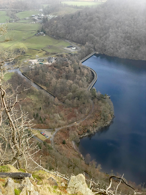
Looking south from the top of boardwalk, to the lake far below. A muddy walk takes you "over the top" where you can wonder down a short way, as many people do, to take in the more vertical views from the edge.
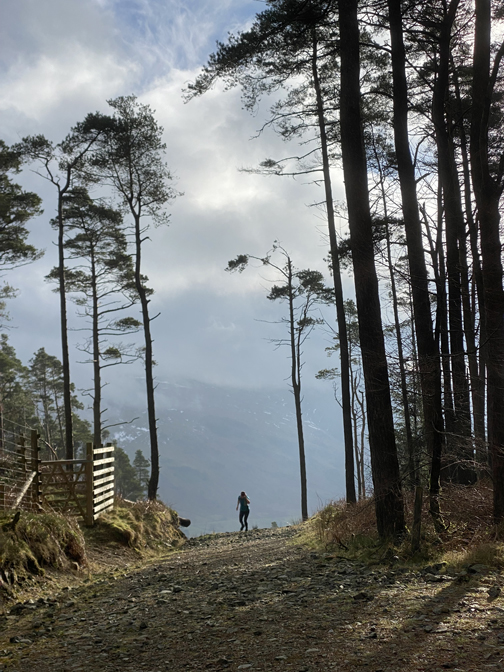
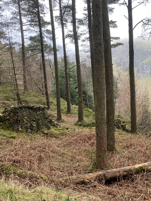
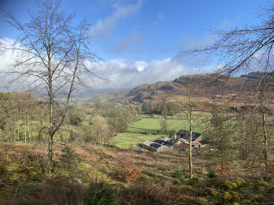
Back to the forest clearing now and passing our earlier gate, just as Castle Crag shines in a shaft of brighter sunshine.
Shoulthwaite Farm with its many barns, the roofs of which seems to be held down by numerous old tyres.
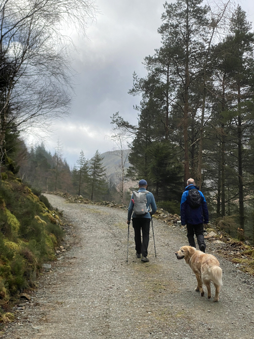
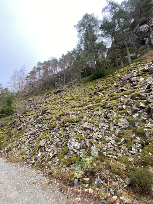
The forest track follows round the northern side of The Benn, down at valley level. To the left is the broad Shoulthwaite Moss and the long but gentle diversion alongside it, accounts for the walk's seven mile length.
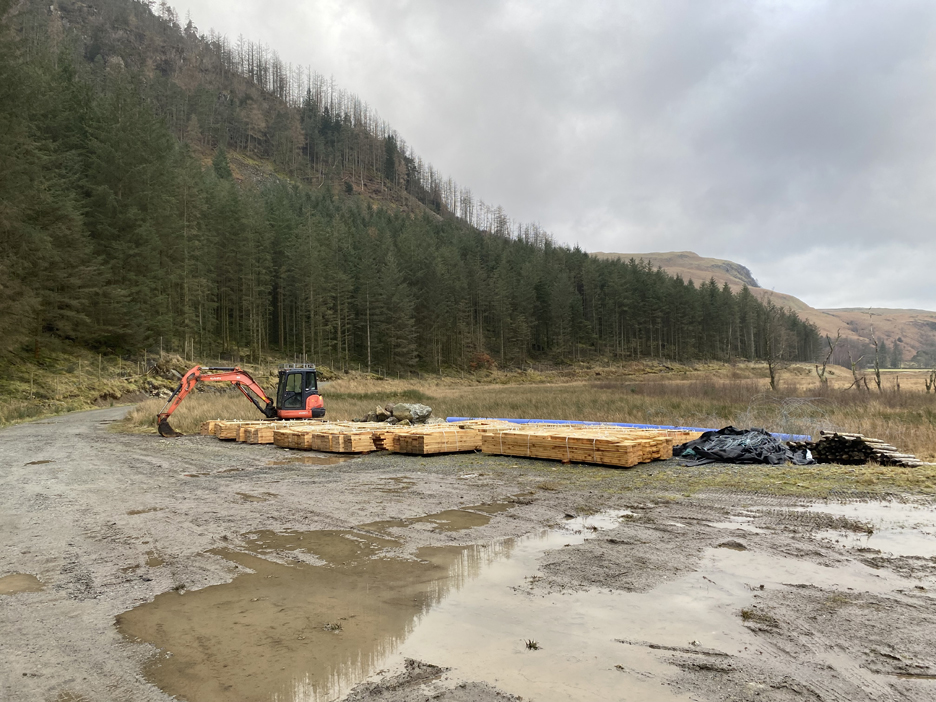
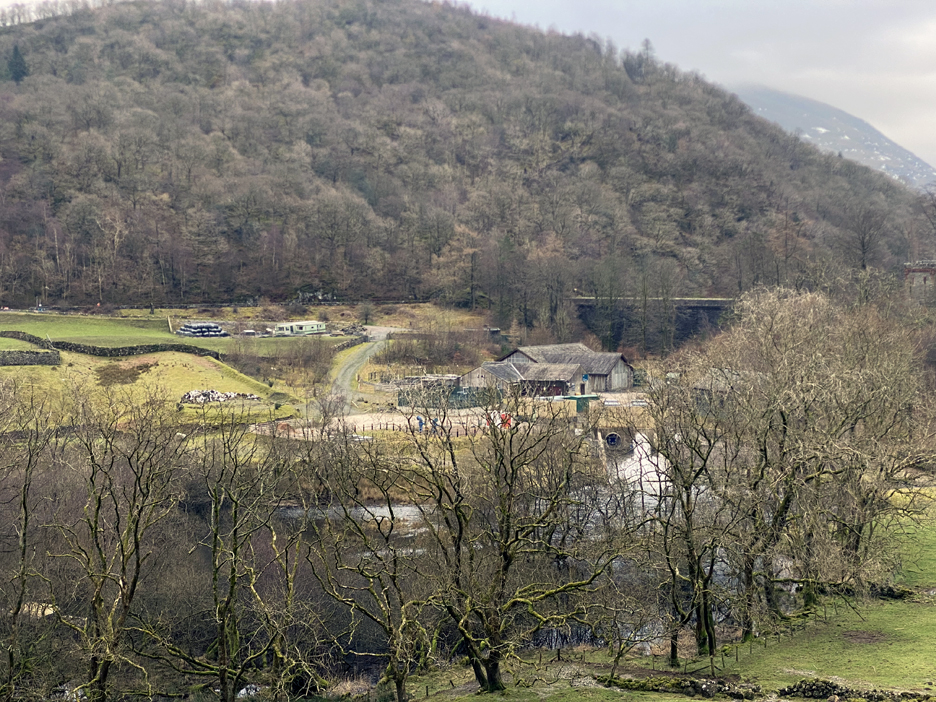
A widening of the track allows storage of forestry equipment and cut timber when required.
On the first weekend there was a large load of fencing posts and timber which had all gone by the time the group passed through here one week later.
We joined the back road that crossed the moss from the A591 and heads down this side of the lake. If you think the building looks familiar, then you're right. It was the stage location of the cafe in the TV drama production of the "A Word" a few years back.
Cutting (edge) photography one could say, as we make our way back to the dam.
The sound of fast flowing water drew our eye to the outflow of the water works, where a large pipe was discharging a huge amount of water in a broad white plume, to recreate the river downstream of the dam.
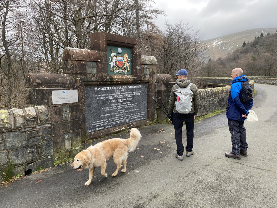
Back over the closed road and Hugh stopped at the decorative plaque set into the wall. It turns out that one of the Manchester Aldermen mentioned in the last but one paragraph, was in fact a distant Thompson relative of his.
At the end of each of the two walks we re-crossed the dam and surprisingly the weather on each of the return walks was very similar . . . much more of an overcast, grey day later.
Back to the caravan site so can't be far now.
The Castle Rock of Triermain dominates the opposite side of the valley as we return to our cars at the end of the walk. - - - o o o - - - Before we go I introduced the group to one last surprise which few people know exists. We cross the wide, modern road and look over the wall . . .
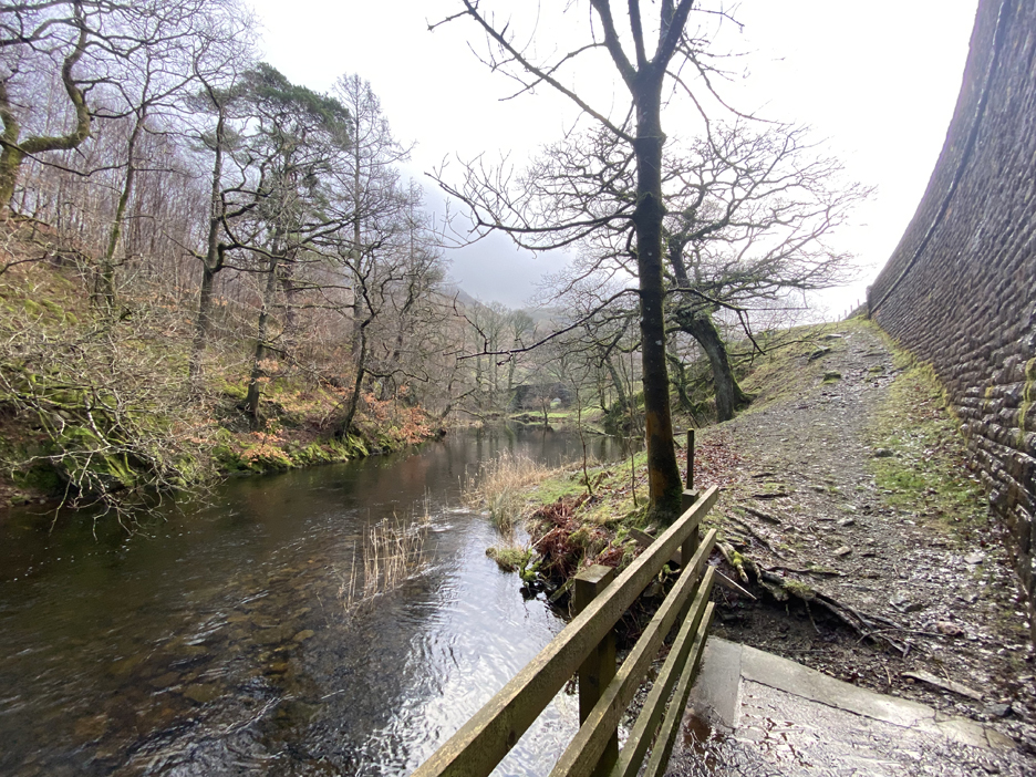
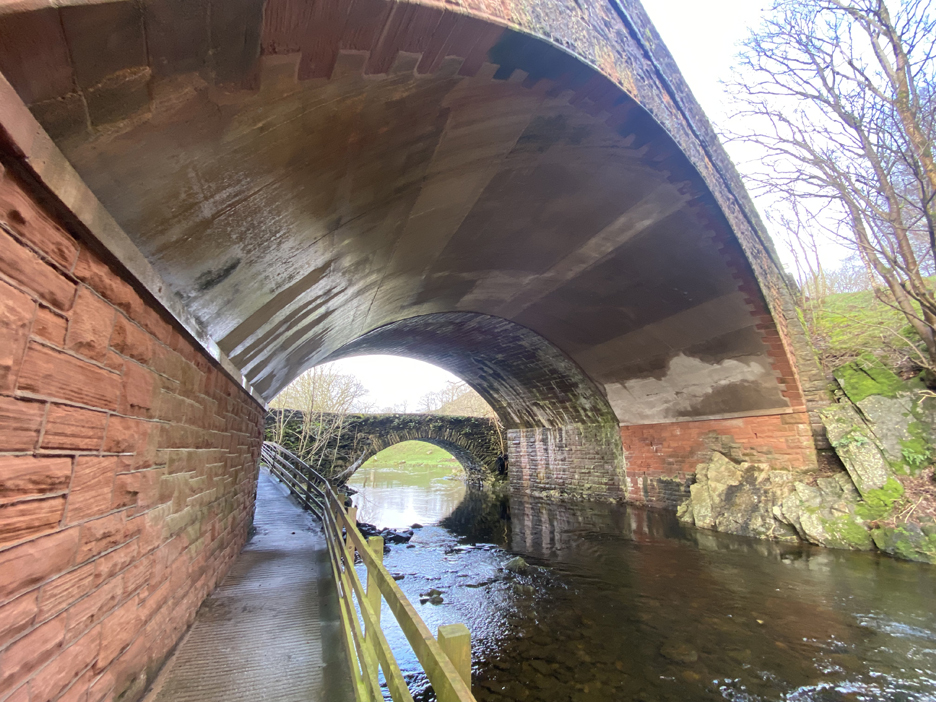
Down below is St John's Beck flowing fast after being released from the dam. The bridge in the trees in the distance crosses a tributary, How Beck, which flows down the back valley from Thirlspot.
But if you look under the road bridge . . . you meet the original valley bridge that spans the river. Next to it is the stone arch that supports the old version of the new road. This side, with a concrete lined arch, is what looks like a later expansion when presumably the road became a dual carriageway. There's nothing but farmland beyond, but it is worth making the effort to find this hidden Lakeland gem. Time to head home. - - - o o o - - -
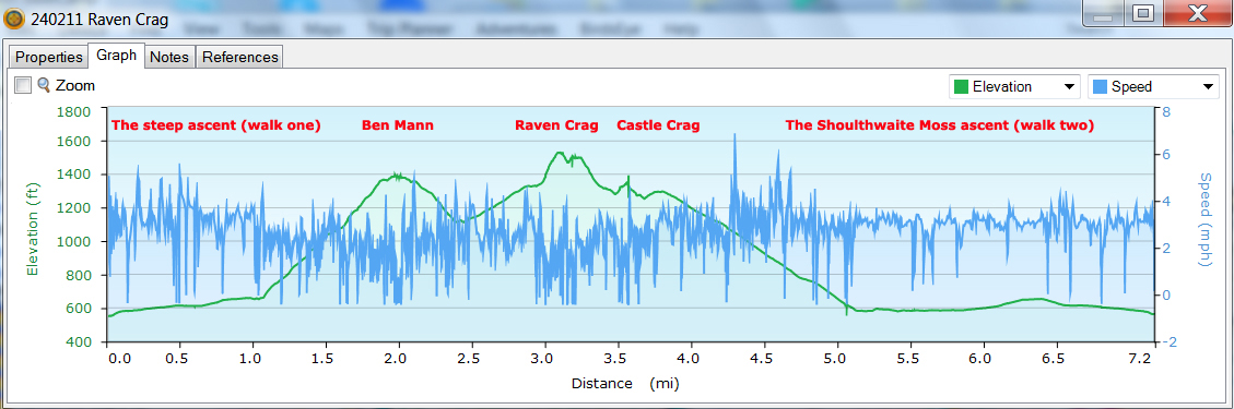
This was the final Gps trace from the walk. The first 'recce' walk goes left to right . . . the eventual Mob walk went anticlockwise (ie. right to left) on the above height graph. - - - o o o - - -
Technical note: Pictures taken with my iPhone 11pro mobile phone camera. Resized in Photoshop, and built up on a Dreamweaver web builder. This site best viewed with . . . the chance to appreciate the walk both ways round. Go to Home Page . . . © RmH . . . Email me here Previous walk - 10th February 2024 - Catbells Terrace A previous time up here - 16th April 2009 Benn Man, Raven Crag, High Tove and Shoulthwaite A second, previous time up here ( and how things change over time) - Thurs 6th October 2011 Raven Crag between the showers Next walk - 21st February 2024 - Rowrah Trackway Surprise
|