![]()

Remember: Press F11 for a full
screen view of this page.
|
|
|
Remember: Press F11 for a full
screen view of this page. |
|
" Raven Crag in between the showers " Date & start time: 6th October 2011, 11.30 am start. Location of Start : The Smaithwaite Road, Thirlmere Reservoir, Cumbria, Uk ( NY 307 191 ) Places visited : Raven Crag Walk details : 1.6 mls, 1025 ft of ascent, 2 hrs 10 mins. Highest point : Raven Crag 1498 ft - 461 m. Walked with : Jill and Nigel, Ann and the dogs, Harry and Bethan. Weather : Shakespearean . . . going from bard to verse.
|
" Raven Crag in between the showers " at EveryTrail [ Alter the settings to zoom or change the Map, use Everytrail to download the Gps route ] |
|
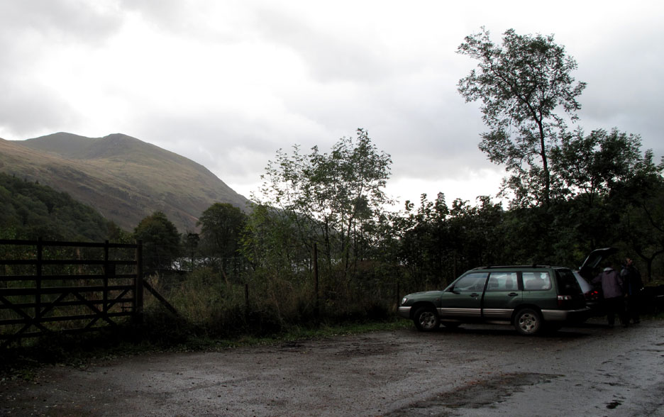
Jill and Nigel are on holiday this week and are determined to beat the weather which has moved from heat wave to cold north westerly gales just as they arrived for their holiday. The forecast is for a reasonable but showery morning, followed by a very wet and windy afternoon on the higher fells. We aim for Raven Crag (an AW summit overlooking Thirlmere) as a suitable walk for today, in order to enjoy a good but shorter walk.
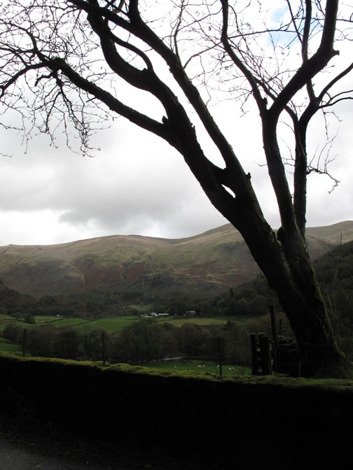
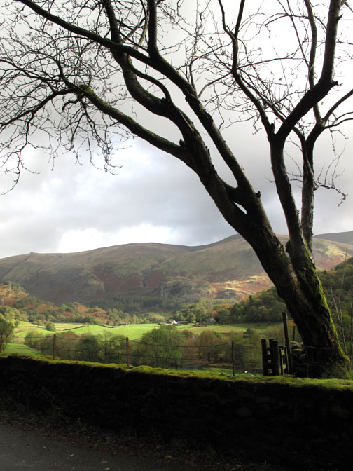
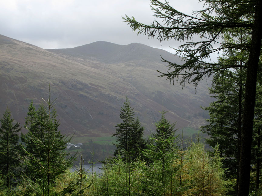
Reasonable visibility across to Helvellyn's Brown Cove Crags . . . but the road is wet as a result of several short, blustery showers that have blown down the valley. By staying low this week, Jill and Nigel have had some good walks . . . so we try the same strategy today.
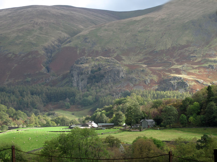
Someone turned the sunlight on. Bridgend Farm and Castle Rock of Triermain are illuminated by bright sunshine.
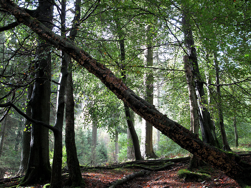
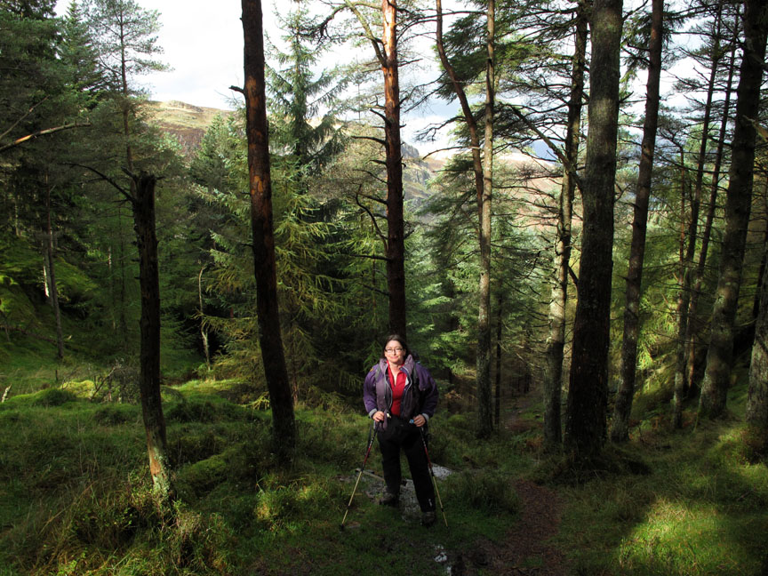
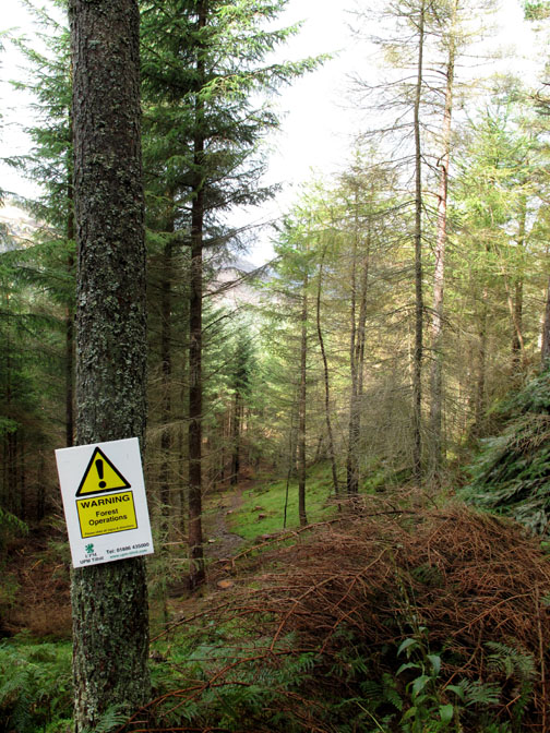
The magic of sunlight through a damp forest as we take the path straight up through the woods below Raven Crag.
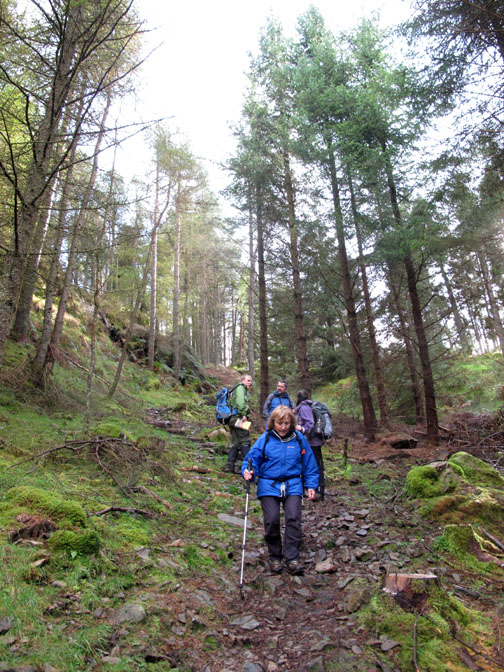
Half way up we emerge onto the forest track. If nothing else, it will be less slippery to walk on than the steep climb.
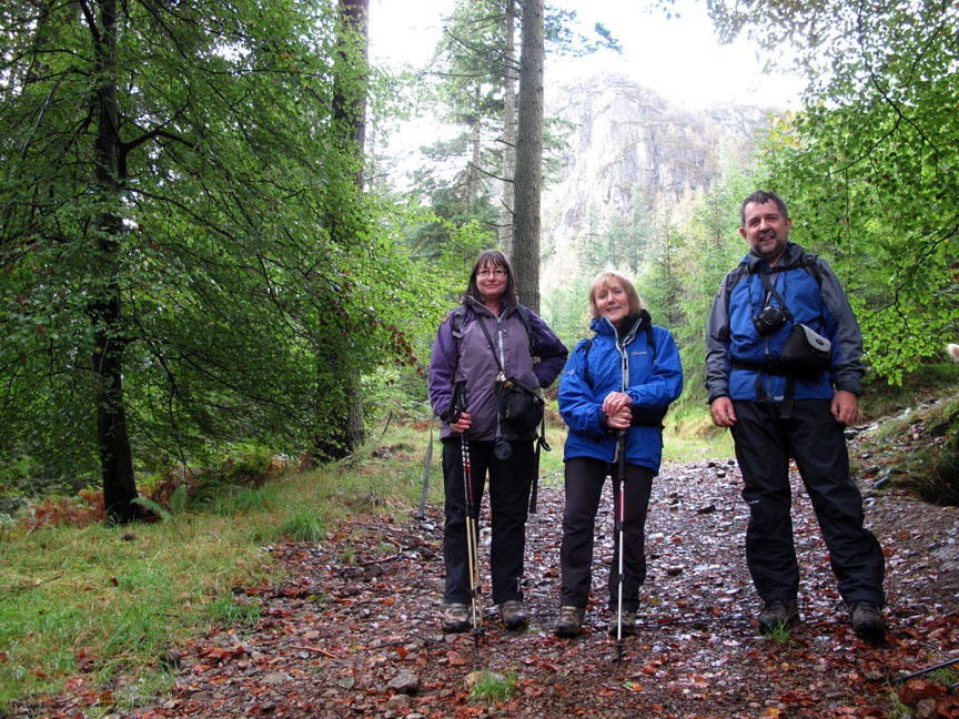
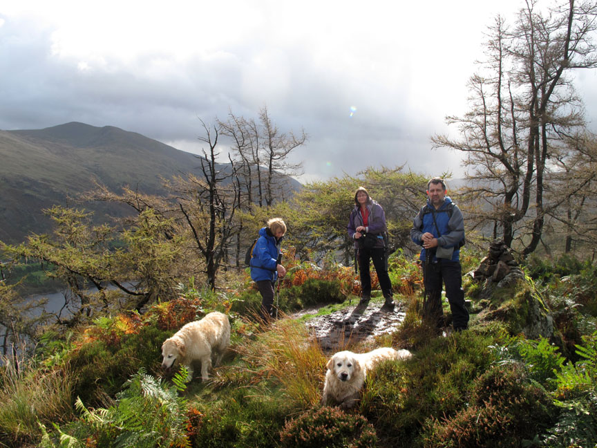
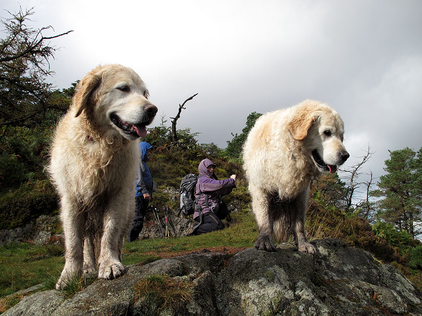
Group photo for today with Jill, Ann and Nigel . . . no sign of the dogs of course.
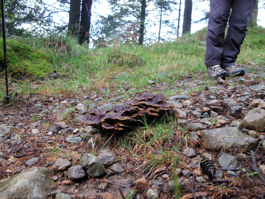
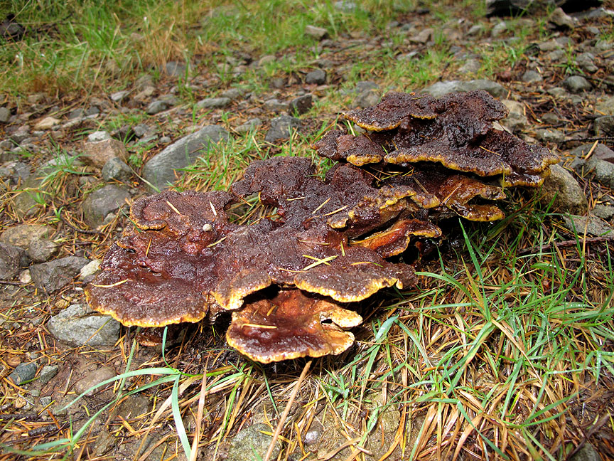
Don't step on that . . . we find something brown and sticky in the middle of the track. Taking a second look, it turns out to be a fine bracket fungi . . . living off the roots of an adjacent pine tree.
The challenge is on (between Jill and I) to take a nice picture of a brown sticky thing in the middle of the track. I hope I've captured it reasonably well.
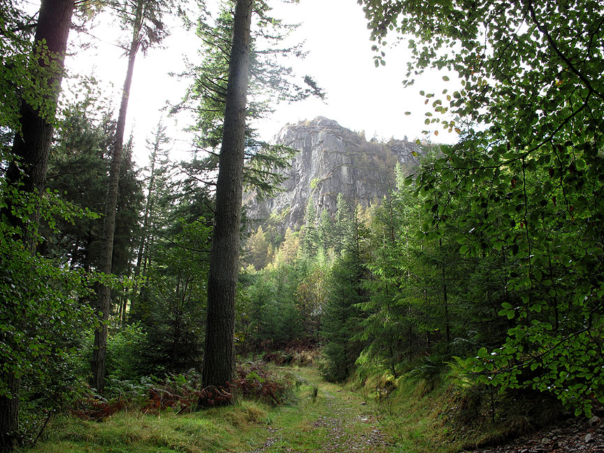
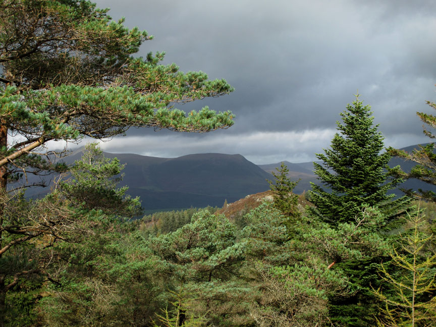
Climbing the track and we reach a clearing just short of the turn and can look across Thirlmere to a clearer view of Brown Cove Crags.
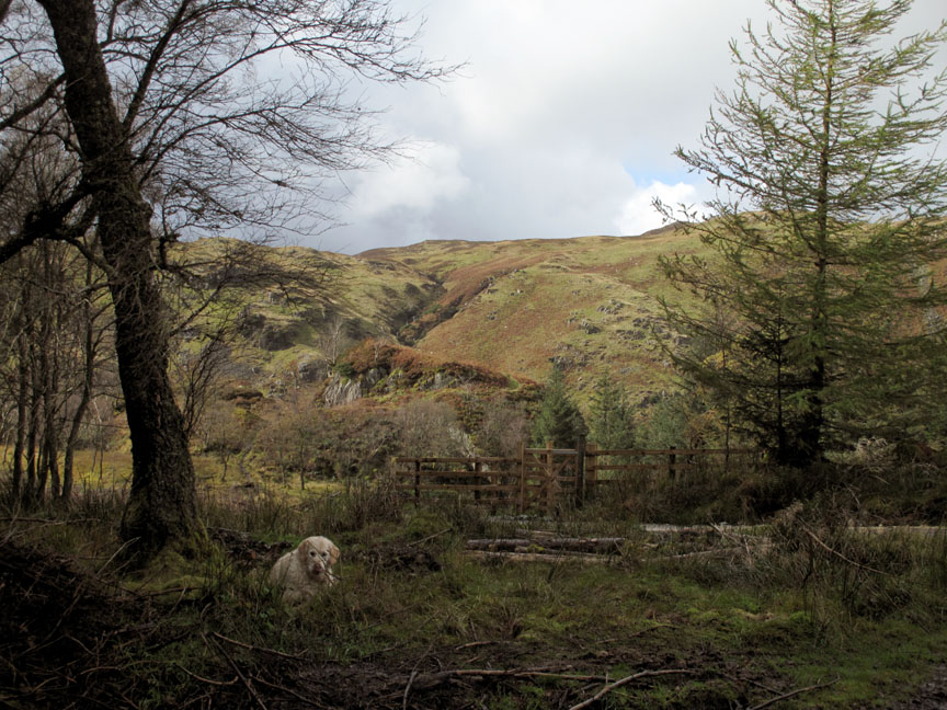
A second short cut path leaves the forest track, climbs steeply again and brings us out on the level ground overlooking the Shoulthwaite Valley on the other side of the ridge.
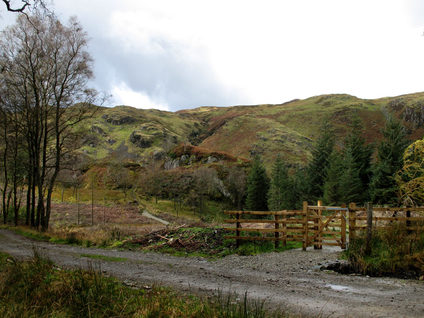
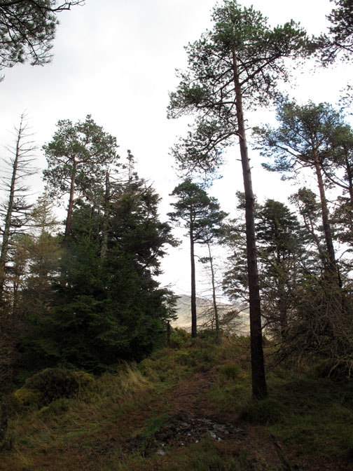
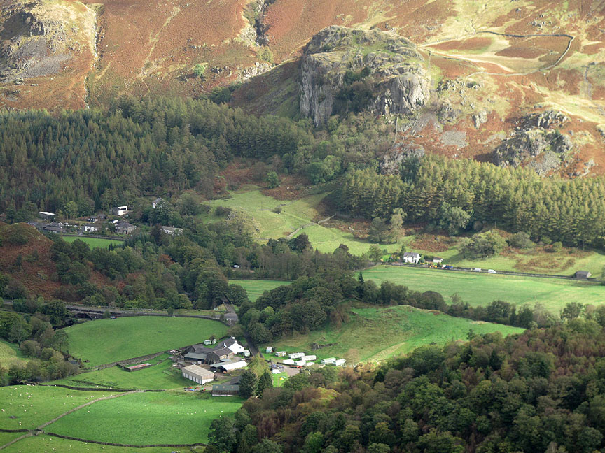
Forest clearance has allowed a clear view of Castle Crag, around which was built an Ancient British hill fort. A new gate and path lead across to the small rocky outcrop. I remember searching the forest glades for the fort just a few years ago . . . now it is clear for all to see.
The slight clearance of the trees in this area has also opened up the path to Raven Crag. Jill pauses as I take a shot looking back at the muddy climb.
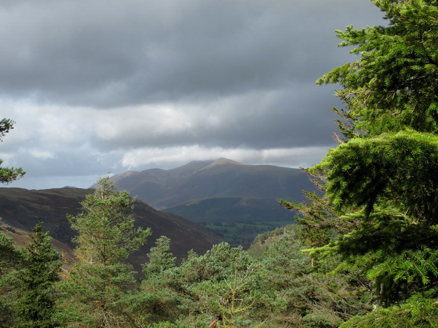
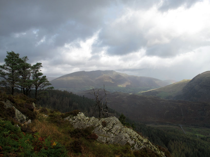
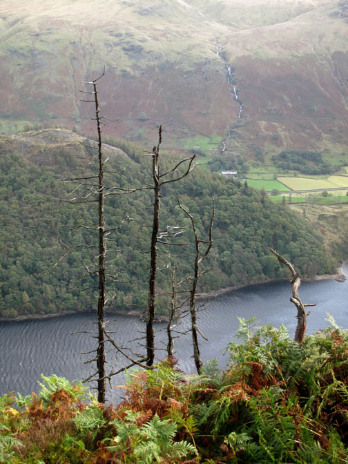
The cloud base over Skiddaw is about 3000 ft at the moment but those clouds are moving fast across the sky and getting lower all the time.
Lonscale fell is in shadow as we look north across the rocky outcrop of Sippling Crag.
Safely passed, we made it to the summit of Raven Crag and the sun is out to greet us again.
The strong winds have died down and so we can stand on the edge and admire the view of Blencathra.
Down below us, a more elevated view of Bridgend Farm and Castle Rock than we saw earlier.
A bright shaft of sunshine illuminates Thirlspot and Dalehead Hall Hotel down by the lake.
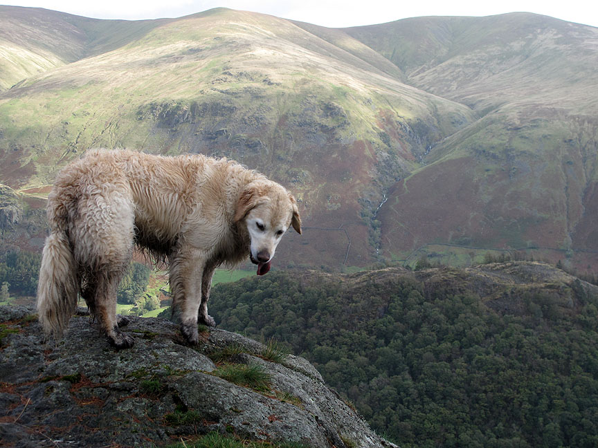
Bethan climbs the rock to enjoy the view.
Clear views across to Great How and The Helvellyn Dodds.
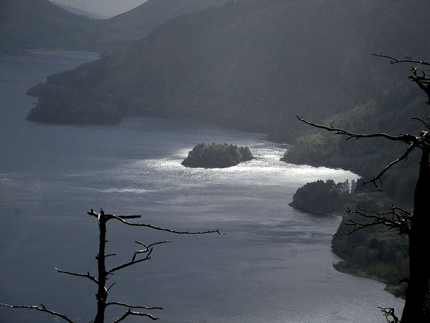
The shafts of light played on the lake as we lingered somewhat and enjoyed the display.
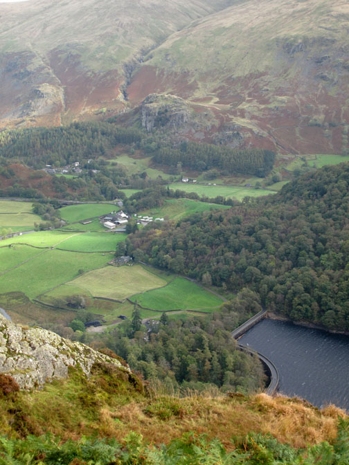
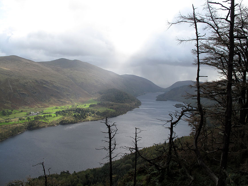
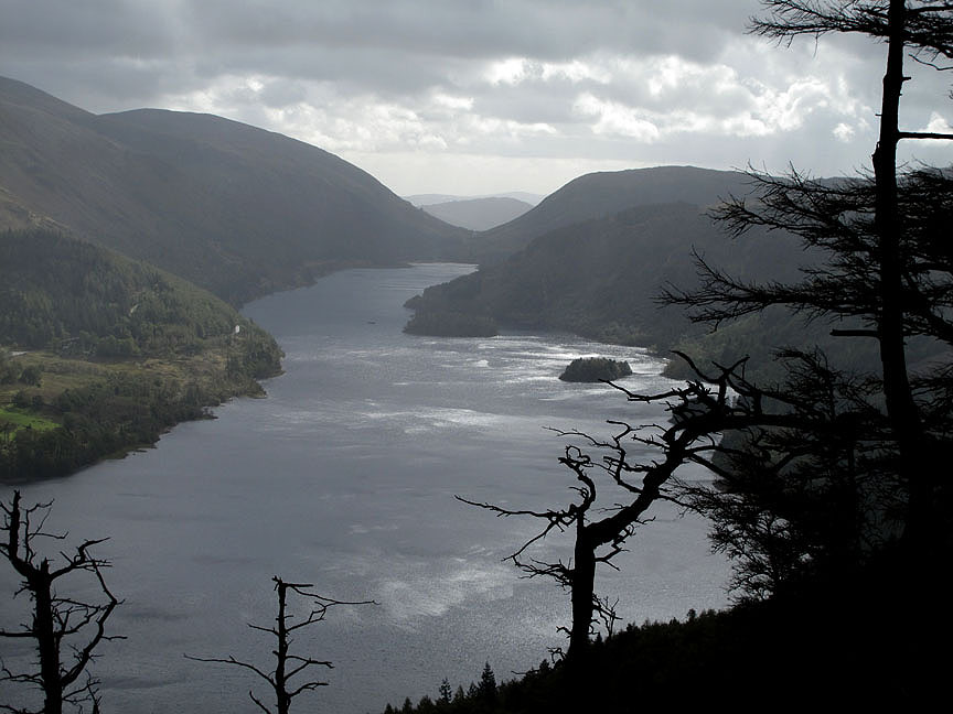
Deergarth How and Hawes How islands and the view up the lake towards Dunmail Raise. The main road to Ambleside follows down the left hand shore.
Jill's praying for a good photo by the look of it. Hold your cursor over the picture and find what the dogs are looking at !
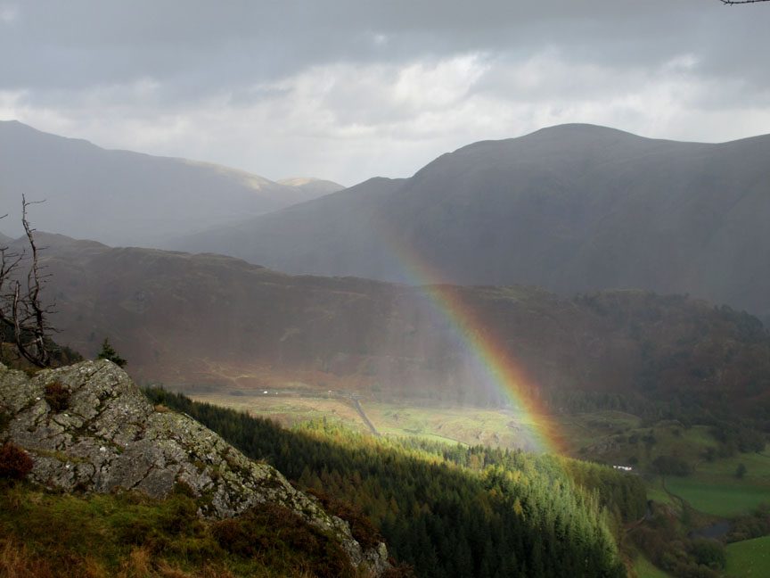
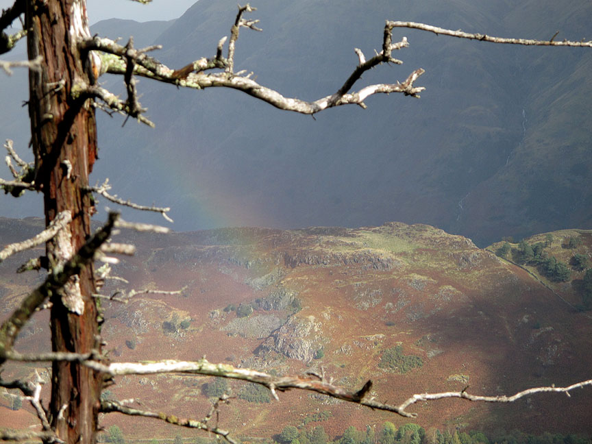
One of those bright shafts of light has met a shower of rain coming in the other direction and gives us a fine but brief display of nature at its most colourful.
Trying to catch it between the branches but it was fading fast. - - - o o o - - - Time to be heading back down. The forecast was for poorer weather later in the afternoon . . . and this may be the pre-cursor to its arrival.
Judge the weather for yourself . . . Ann thinks it is raining ~ Jill thinks it is fine !
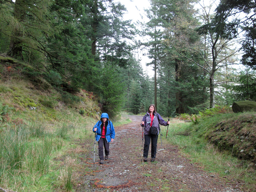
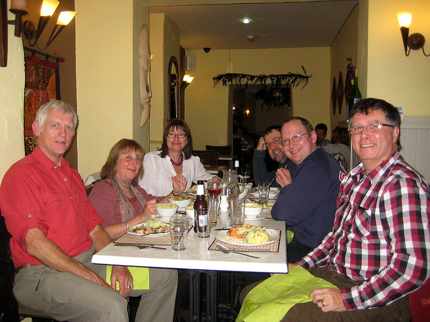
Either way we are not far from the car. We've followed the earlier track back down this time and now have just a short walk along the road to finish. - - - o o o - - - We were right . . . that last shower turned steadily to rain and the best of the day had gone . . . so we made our way home. - - - o o o - - - The next evening Jill and Nigel had convened an unofficial meeting of the OFC Dining Section.
when Ian Smith and David Leslie joined us for an excellent meal in Keswick's Star of Siam Good company . . . good food. - - - o o o - - - |
Technical note: Pictures taken with either Ann's Canon 75 or my Canon G10 digital camera. Resized in Photoshop, and built up on a Dreamweaver web builder. This site best viewed with . . . mega-protection from the bog-monster. Go to Top . . . © RmH.2011 . . . Email me here Previous walk - Saturday 1st October 2011 Gowbarrow on a Hot Day A previous time up here - 6th April 2009 Benn Man, Raven Crag and Shoulthwaite Next walk - Thurs 13th October 2011 Rannerdale with Maggie
|