|
|
|
 |
Remember: Press F11 for a
full screen view of this page. |
Web Counter when published 2
079 300 |
|
" Burnbank and Post-Easter Walks " Date & start time: 14th to 24th April 2023. The week or so after Easter. Location of Start : By the red phone box, Loweswater, Cumbria, Uk. ( NY 143 211). Places visited : Cogra, a Ceilidh at the Hall, Kinniside, Wast Water, St Bees and Burnbank Fell. Walk details : Burnbank, 3 miles, 880 ft of ascent,1 hours 40 mins. Highest point : Burnbank Fell, 1,558ft - 475m. Walked with : Loes, Frieke, Striding Edge guys, myself and the dogs, Dylan and Dougal. Weather : Variable but some great sunshine.
|
© Crown copyright. All rights reserved. Licence number PU 100034184. |
|
Somewhere along the way the month of April whizzed by, with loads of activities, visitors and things to do in the fine weather. May seems to be going the same way, which would explain the delay in posting these photos, but here we go. Join me on my local adventures and see a few familiar sights along the way.
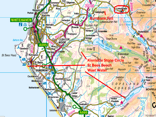
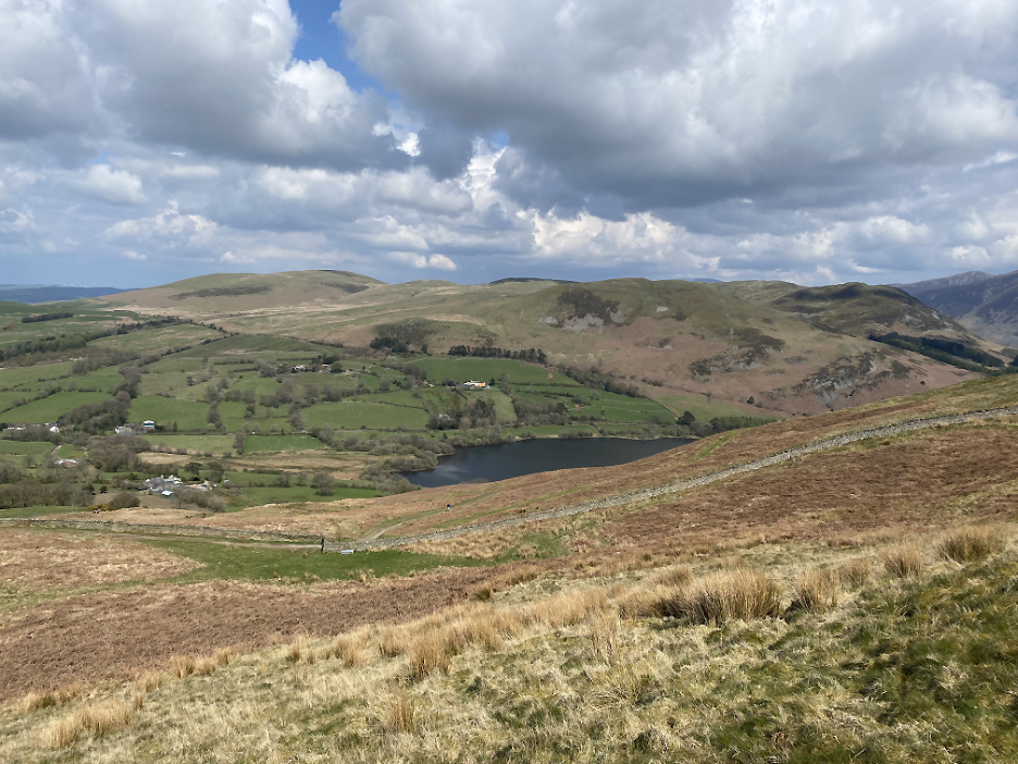
Name that lake . . . the fisherman and the reservoir wall could be a clue. This day Loes and I ventured out for a walk at Cogra Moss reservoir, which is situated on the western side of the Loweswater Fells.
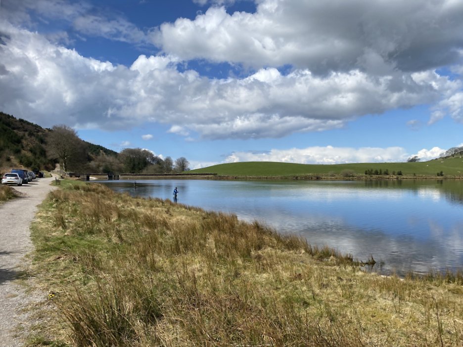
Lovely summer weather with sunshine and fair weather cloud which casts light on the lake yet shade on Blake Fell. This was the view as we walk round the paths and tracks that now circumnavigate the lake. - - - o o o - - -
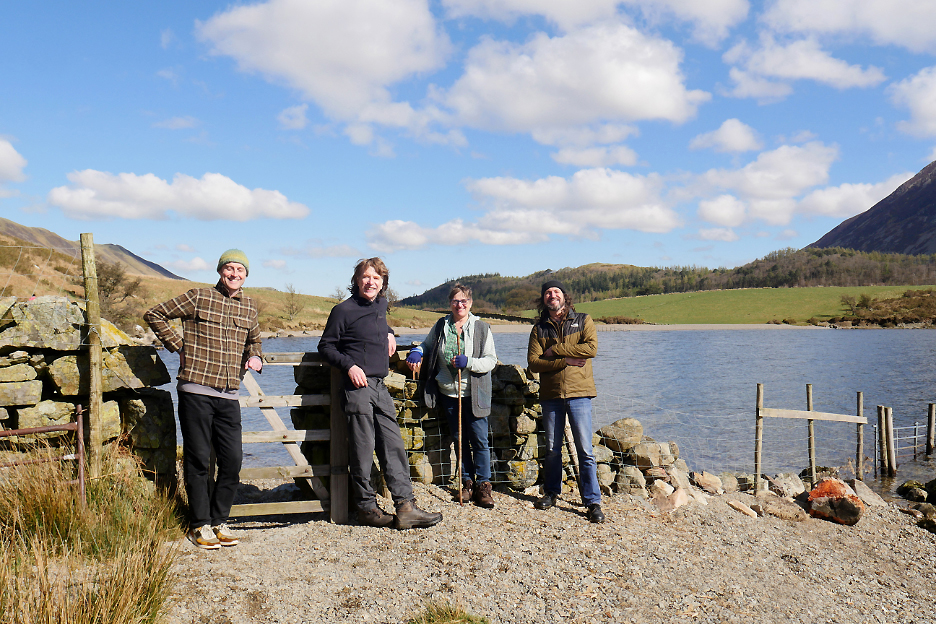
A concert and Ceilidh at the Loweswater Village Hall was a great success and I found myself hosting the Striding Edge Folk Band overnight as part of their north west Cumbria mini-tour. They live in south Cumbria/ Lancashire so appreciated the chance to visit Crummock before heading off to gigs at Ravenglass and St Bees. - - - o o o - - -
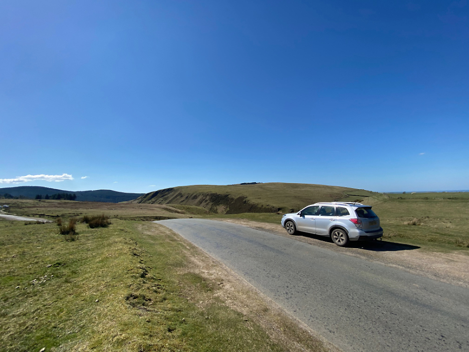
Loes's long standing Dutch friend Frieke was over in the UK for a week and came over to re-acquaint herself with the area that she hasn't seen for many years. The three of us take a drive around West Cumbria in the sunshine.
First stop is Blakely Rise on the Cold fell road, here looking across to Dent (centre) and Flat Fell (to the right).
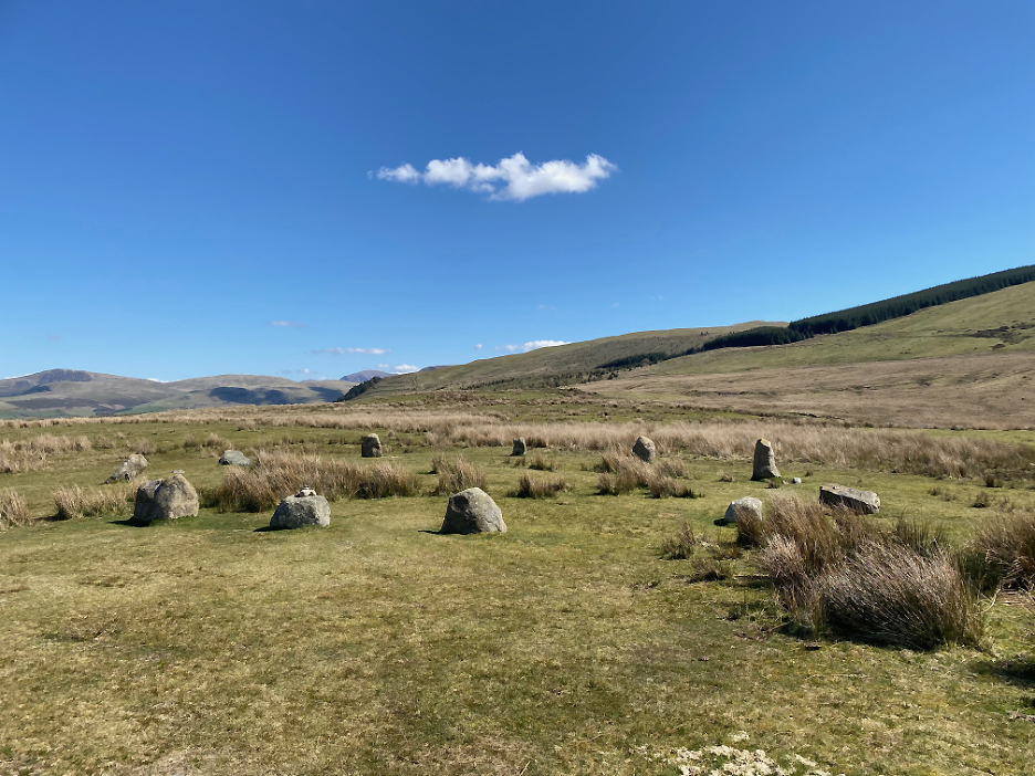
The particular reason for the stop was to visit the Kinniside Stone Circle Sadly the circle was apparently dismantled in the 18th century by a farmer who used the stones for gate-posts, but in 1925 a Doctor Quine of Frizington "restored" the stone circle, hopefully re-setting the stones in the original stone holes (Wikipedia).
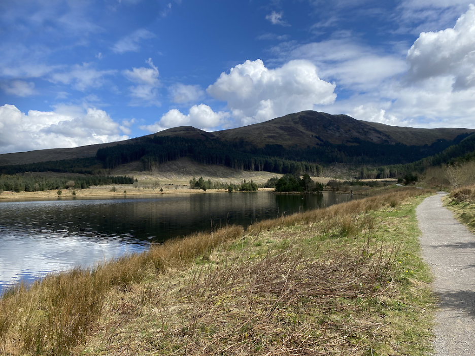
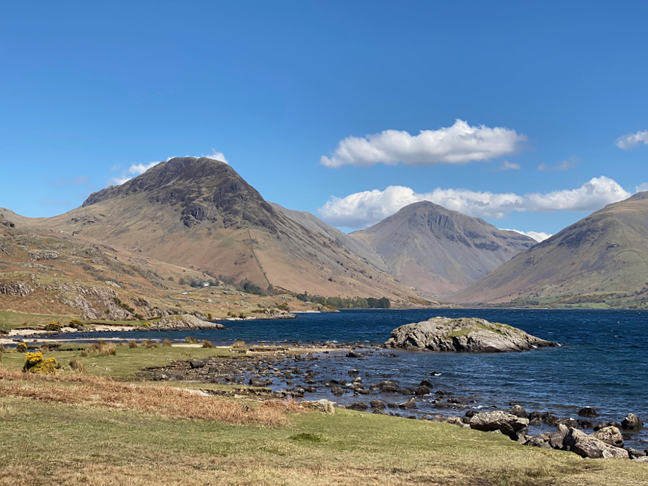
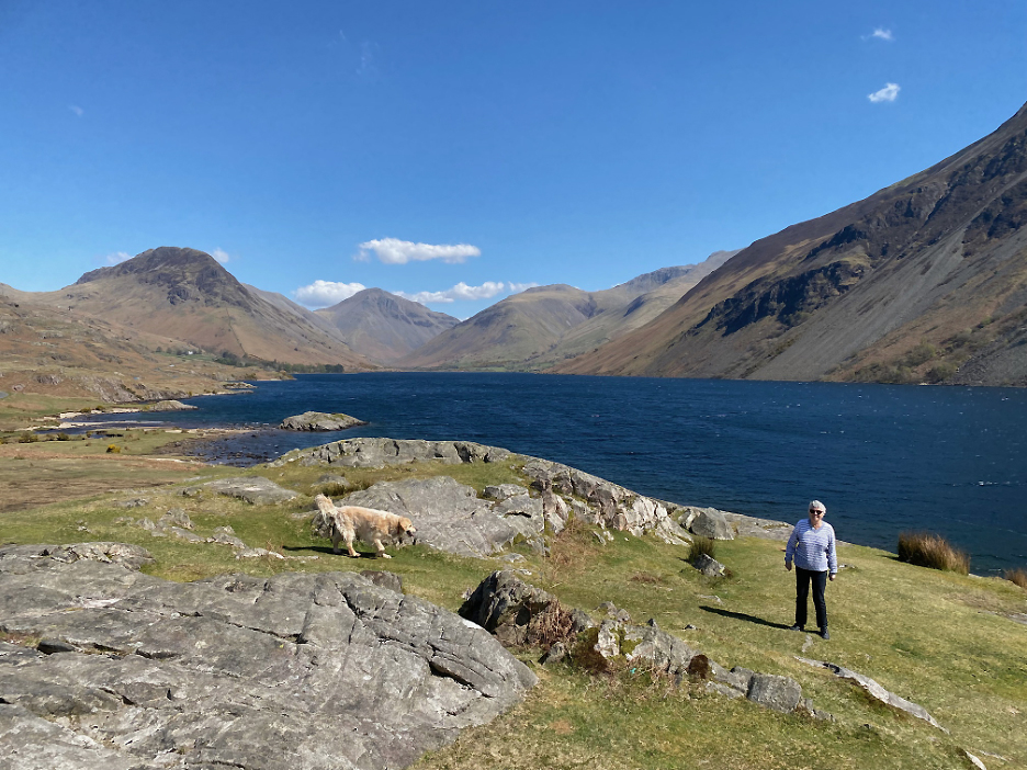
Our drive took us on to Wasdale and a short walk by the side of Wast Water. This was the classic view looking up the lake towards Yewbarrow and Great Gable.
The wider picture including Loes in the foreground. To the right of centre are Lingmell, the climb to Scafell Pike and the start of the Wasdale Screes.
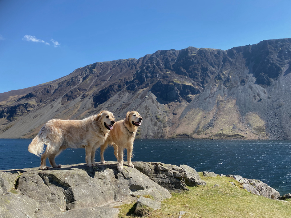
A short walk allowed the dogs a little daily exercise by the side of the lake.
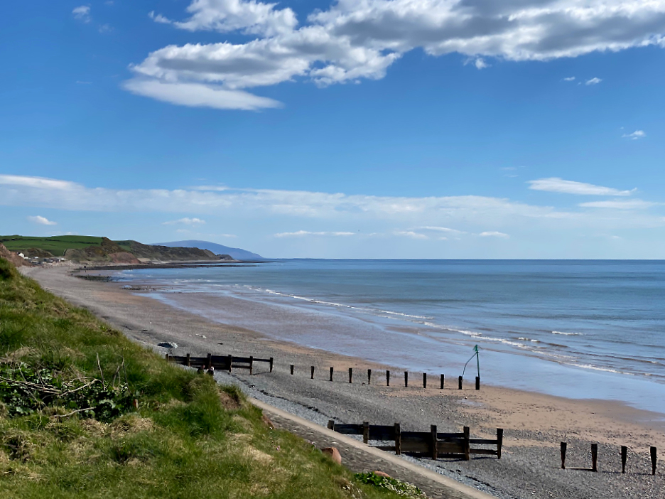
When Frieke last visited, Loes was living in St Bees so we drove over there on the way back. This is the view looking south along the Cumbrian coast towards Black Combe.
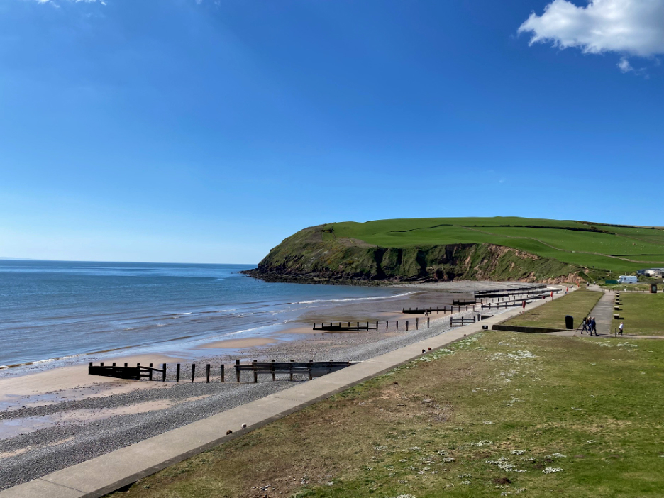
Looking the opposite direction towards the promenade and St Bees Head, as we stopped and enjoyed an ice cream this hot day. - - - o o o - - -
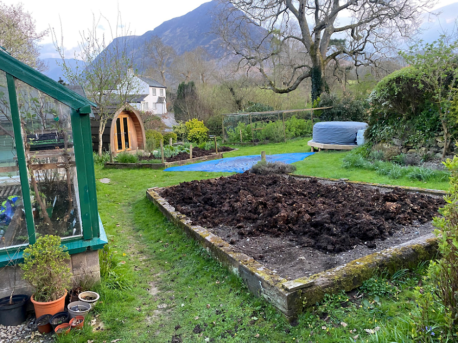
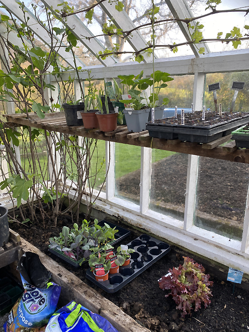
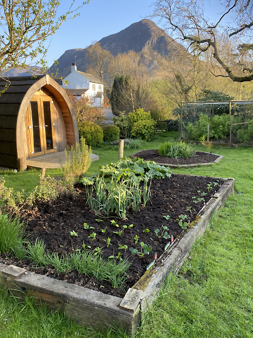
With the changing seasons it was time to get some gardening done. I had the opportunity to spread a large quantity of garden manure on the raised beds, courtesy of a JCB delivery from my neighbour.
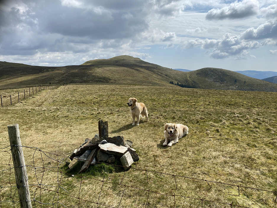
- - - o o o - - - On the sunny days it was sometimes too nice to stay at home and the dogs need their exercise of course . . .
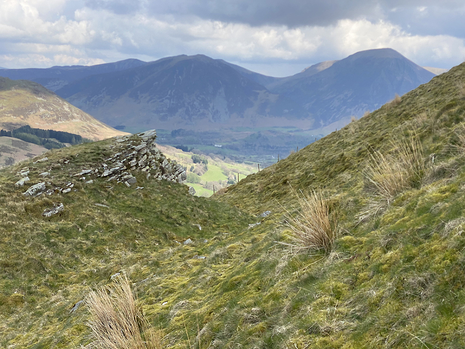
This was the view as I walked the Coffin Route from Fangs Brow towards The Chair overlooking Loweswater.
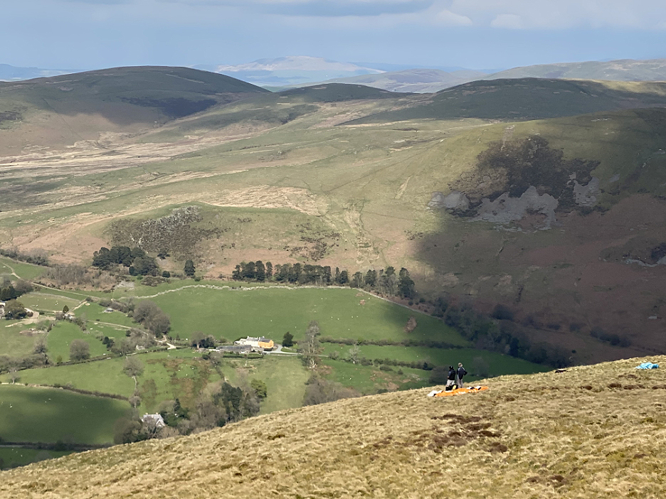
A change of plan found me leaving the main track and climbing the slope towards Burnbank Fell.
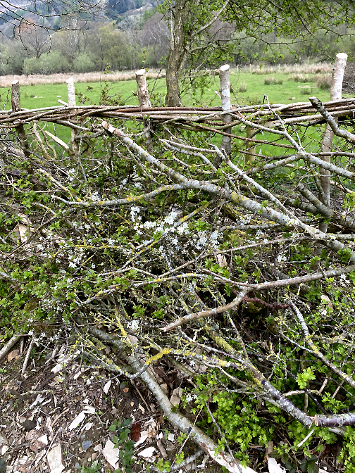
Near the top is a strange geological formation, thought to be as a result of an historic landslip rather than any man made reason. There are however, limited workings on the lower slopes below us where stone was once extracted for building materials in centuries past.
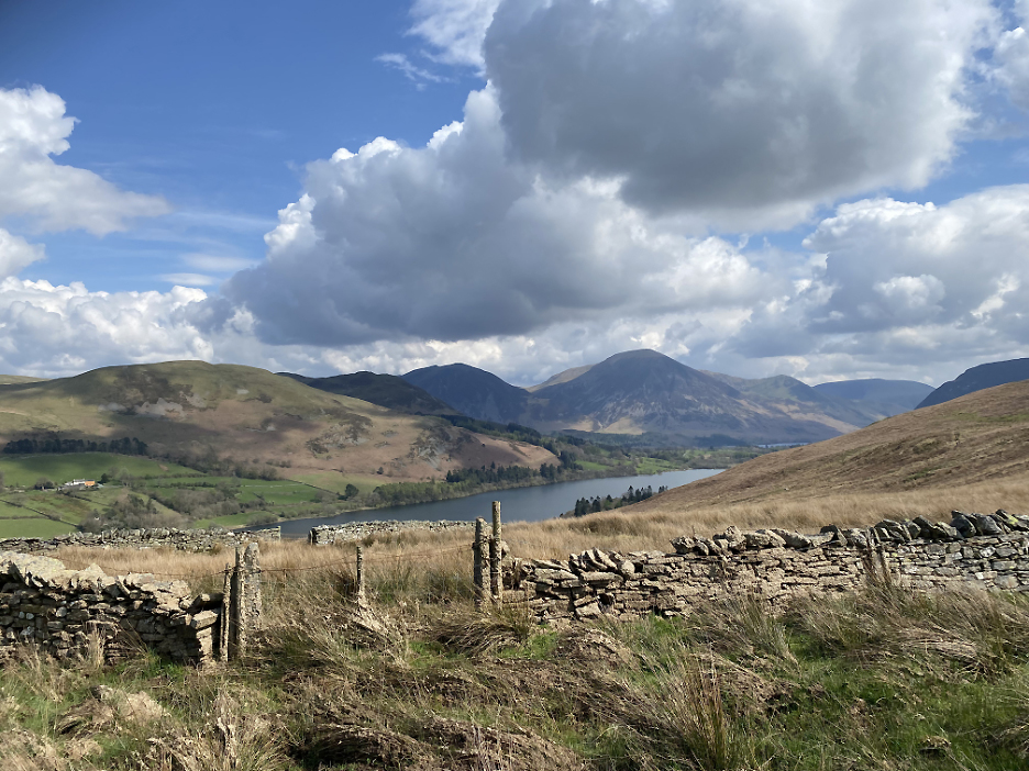
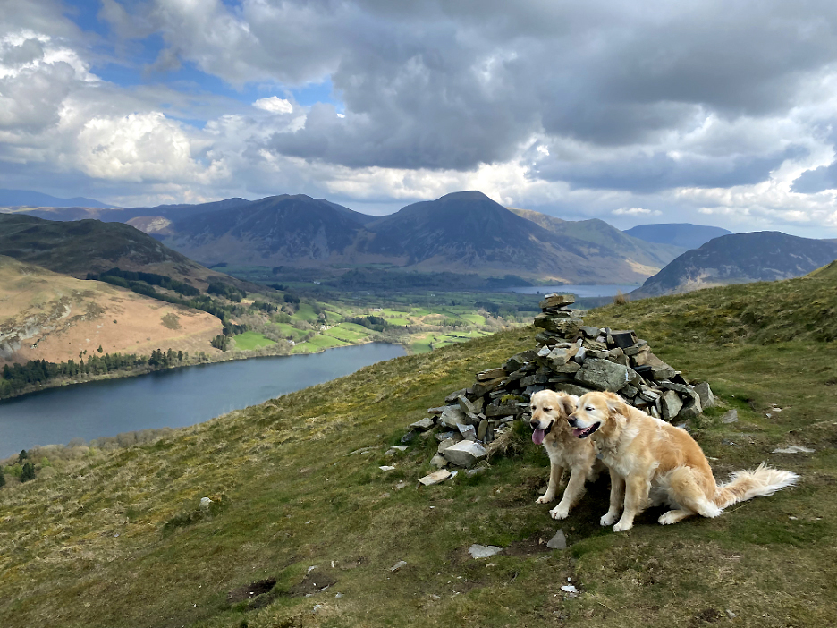
Not the summit but a prominent cairn on the northern edge of the fell, to mark the fine viewpoint looking over Loweswater. In the distance is Whiteside, Grasmoor and the Buttermere Fells, with Crummock Water in the valley alongside Mellbreak.
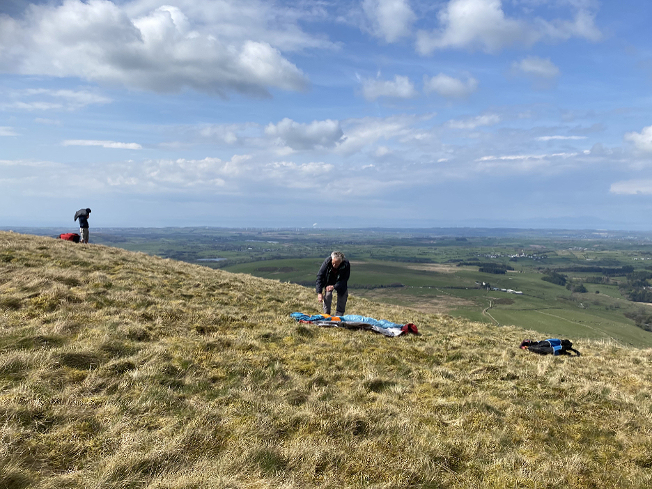
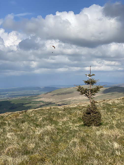
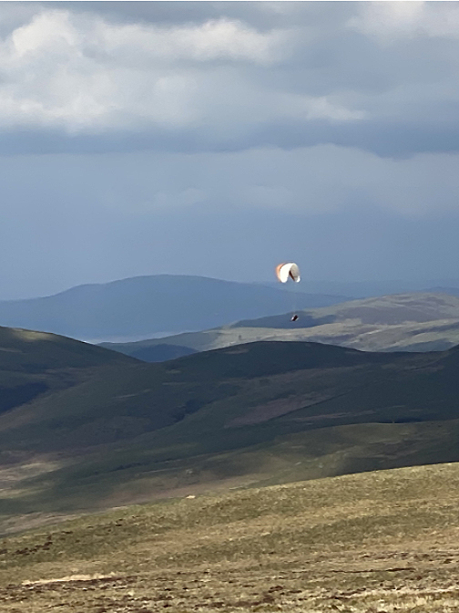
As I walked up I met up with two local guys who had carried their paragliders up for a flight today.
A gentle northerly breeze would allow them extra lift for take-off and chance to hopefully enjoy hot thermals rising from the sunny fell side.
I left them to prepare their gear for their flight and headed off for the smaller cairn on the actual summit of Burnbank Fell. In the distance the ridge dips and rises again to Blake Fell, with the 'Birkett' of Owsen Fell to the right.
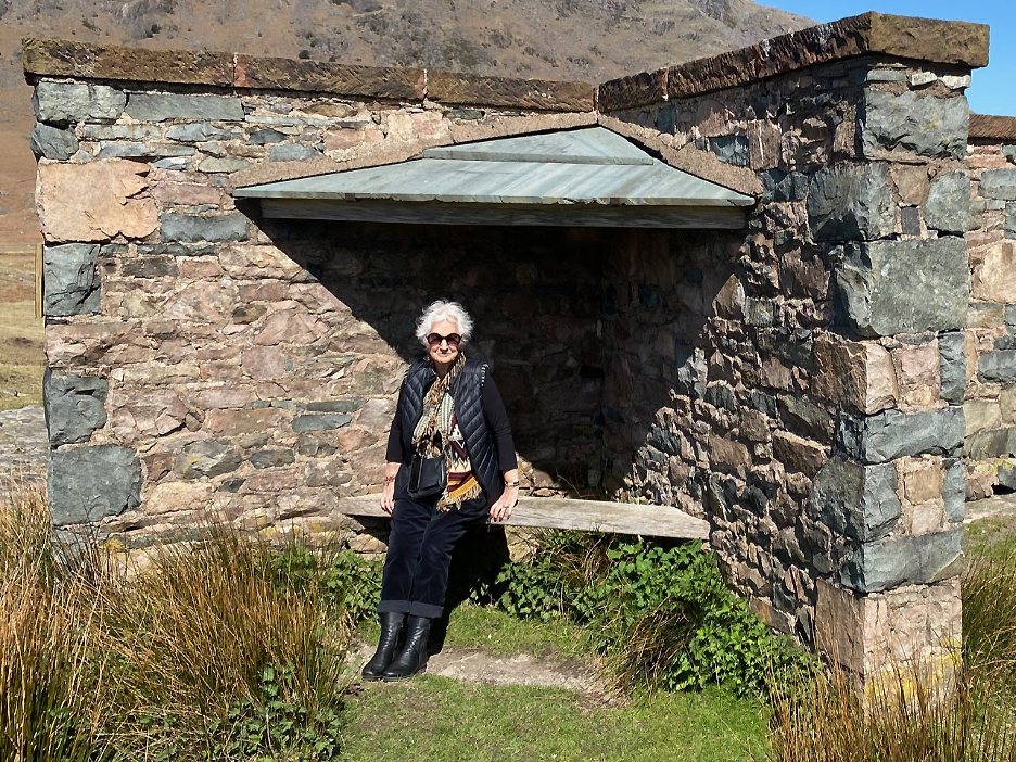
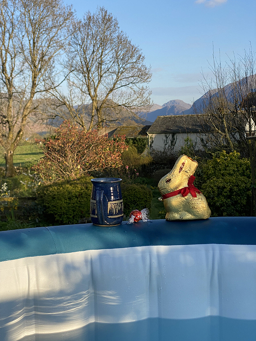
- - - o o o - - - Two photos to close . . .
- - - o o o - - - |
Technical note: Pictures generally taken with my iPhone 11pro Camera.
Resized in Photoshop, and built up on a Dreamweaver web builder.
This site best viewed with . . . a busy calendar with plenty to do.
Go to Home Page . . . © RmH . . . Email me here
Previous walk - 10th / 12th April - Easter with Cathy and Mark
A previous time up here - 2nd February 2013 - The Loweswater Fells Round
Next walk - 25th April 2023 - Skiddaw's Dodd Fell