![]()

Remember: Press F11 for a full
screen view of this page.
|
|
|
Remember: Press F11 for a full
screen view of this page. |
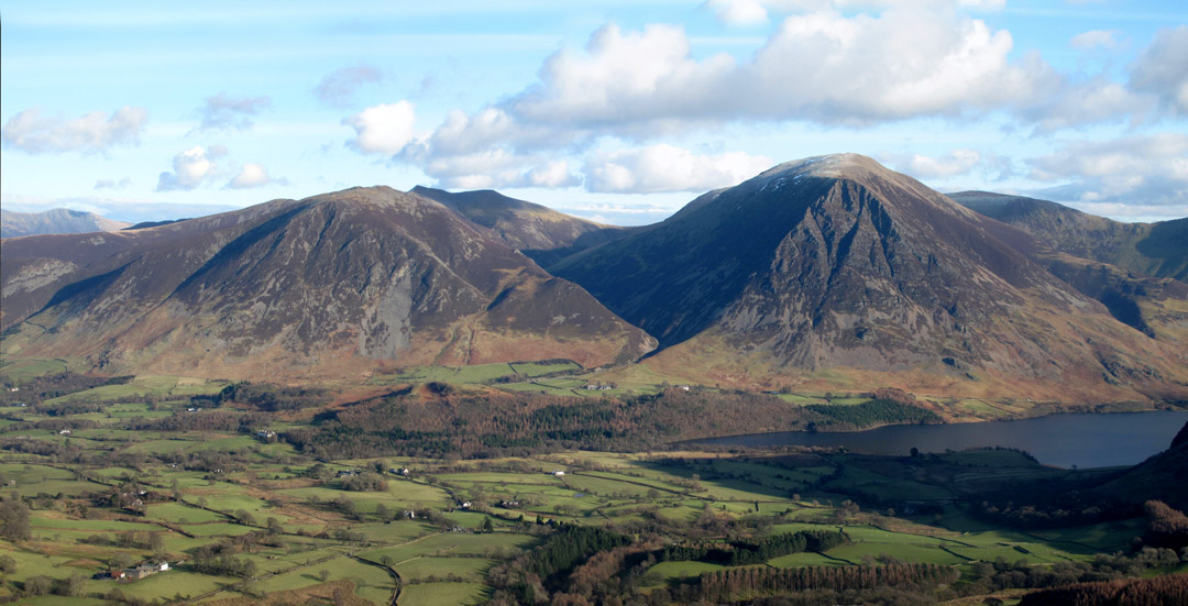
| " The Loweswater Fells Round " Date & start time: Saturday 2nd February 2013, 10.45 am start. Location of Start : Maggie's Bridge car park, Loweswater , Cumbria, Uk ( NY 135 210 ) Places visited : High Nook Farm, Gavel, Blake, Carling Knott, Burnbank, High Nook Farm. Walk details : 8.65 mls, 2375 ft of ascent, 5 hours 45 mins. Highest point : Blake Fell, 1,878ft - 573m. Walked with : Rod Hepplewhite, Ann and the dogs, Harry and Bethan. Weather : A great winter walking day . . . blue skies, excellent viz, cool breeze, superb. |
" The Loweswater Fells Round " at EveryTrail [ Alter the settings to zoom or change the Map, use Everytrail to download the Gps route ] |
|
A promising advanced forecast of fine weather, but that's nothing to go by in Cumbria. As it happens, the forecast came true and we had a great walking day on the fells. Rod had phoned and so we joined him on an extended local walk that we hadn't done for a while . . . the full round of the four Loweswater Fells.
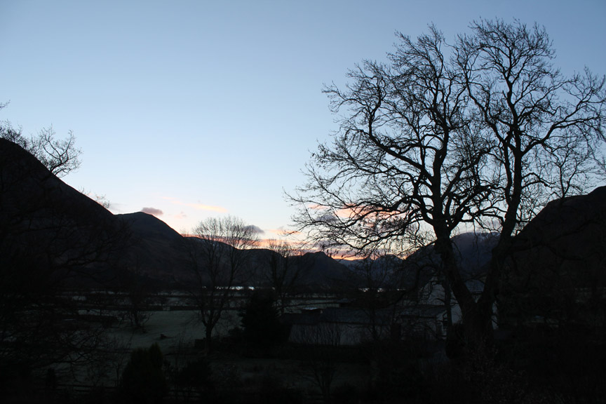
It dawned clear and bright . . . a good prospect for the day.
Sunrise brought a change of light and the cool blues quickly changed to yellows.
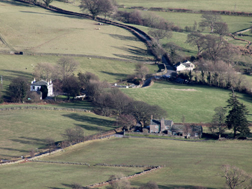
The overnight frost on the fields backed up the rather wintry temperatures.
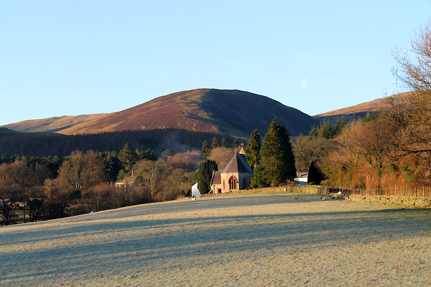
Black Crag above Loweswater Church. We'd be climbing that shortly once Rod arrived from his journey over the Pennines.
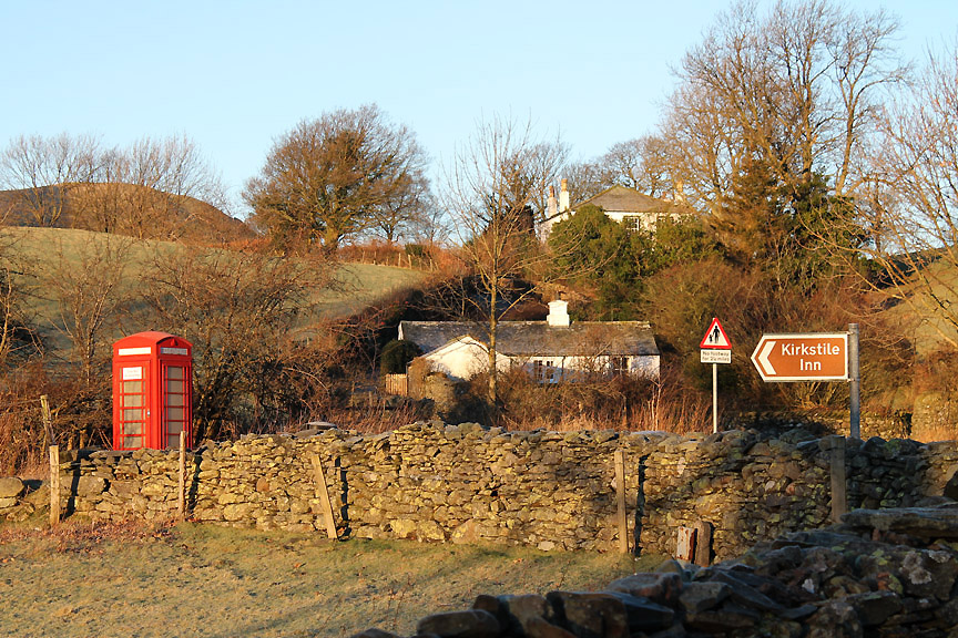
Just before eleven . . . and just after early elevenses of morning coffee/tea at the cottage.
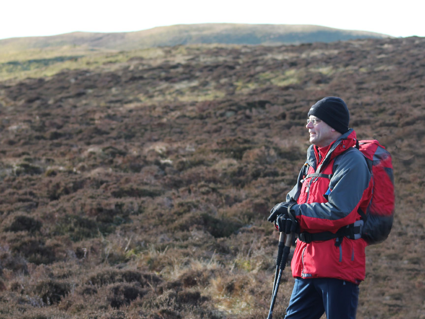
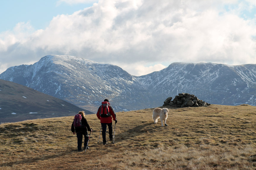
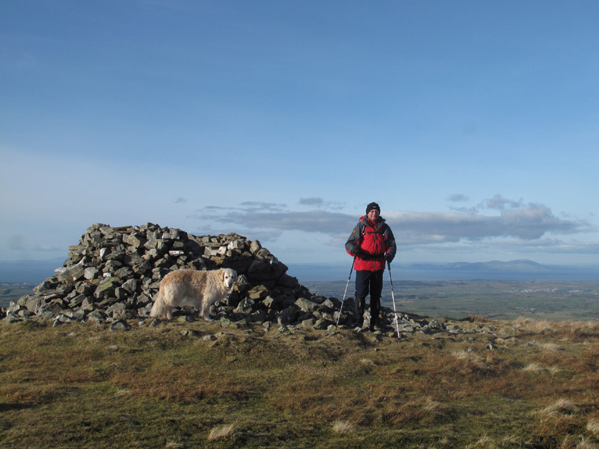
Meet our walking companion from today . . . we last walked with Rod on Hopegill Head last September.
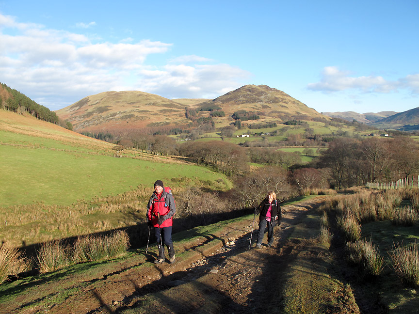
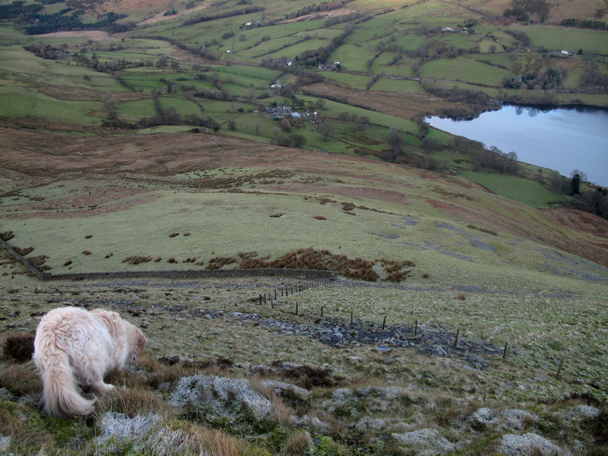
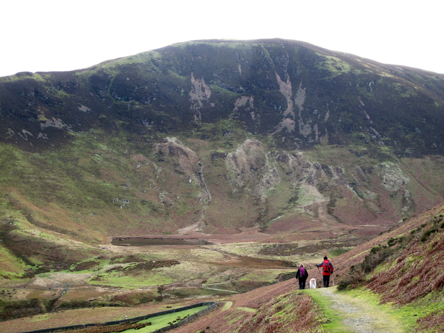
Ann and Rod walked ahead as I stopped for a wider view of our valley.
Above the out-take wall, the track leads on to High Nook Tarn and would be our eventual route home after our four planned summits of the day.
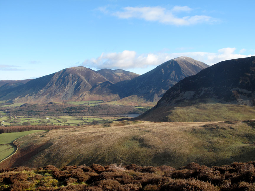
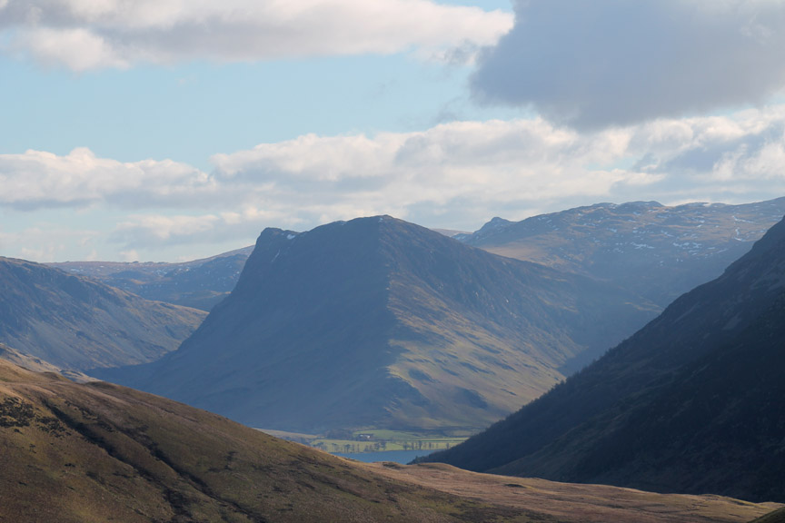
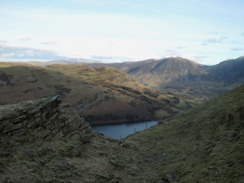
Our route on the way out branched off however and we headed up the slopes of Black Crag, here looking back down on the Loweswater lake and Low Fell.
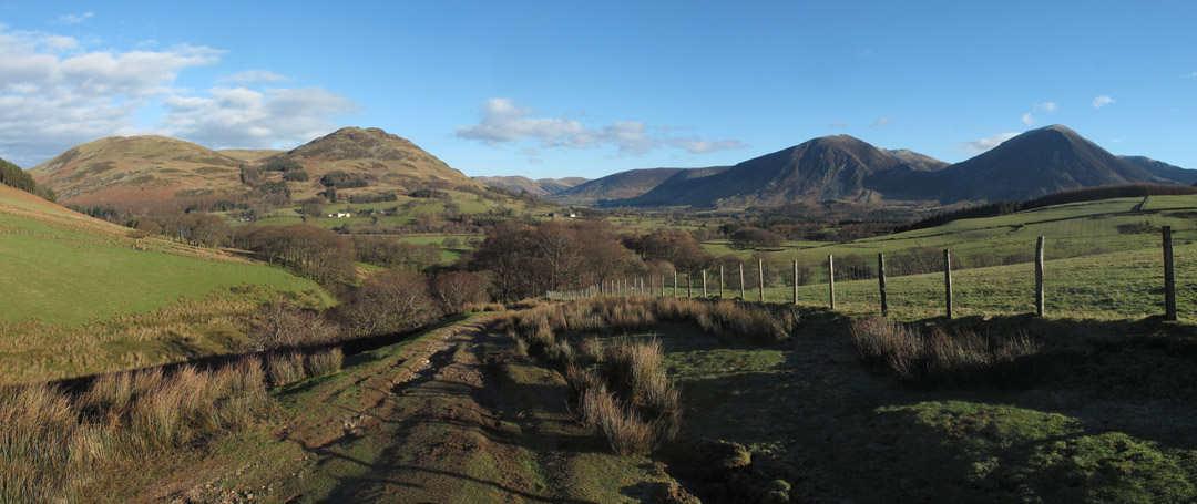
Looking right we could see Crummock Water and the northern climb of Mellbreak. This is almost the reverse of the earlier photo as our cottage and the church are just on the left of the picture.
As we climbed higher so the view improved . . . as it often does ! Rod (and for that matter, Ann and myself) stopped to enjoy the views . . .
. . . across to Hopegill Head.
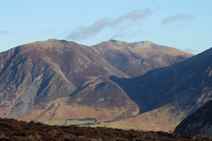
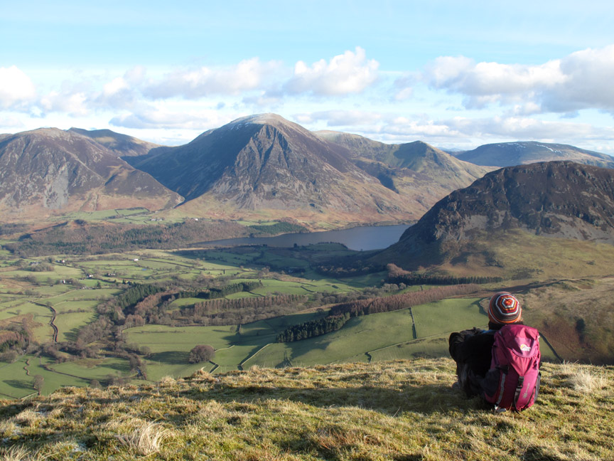
Over the central section of Mellbreak to the Helvellyn Fells and the triangle of Catstycam. [ Hold your cursor over the picture to enjoy a closer view of Brown Cove Crags and the snow ]
The brooding nose of Fleetwith Pike as it points down to Buttermere at its foot.
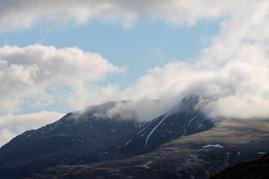
Remnants of the recent snow fill the gullies on High Stile and Red Pike . . . the cloud adding atmosphere.
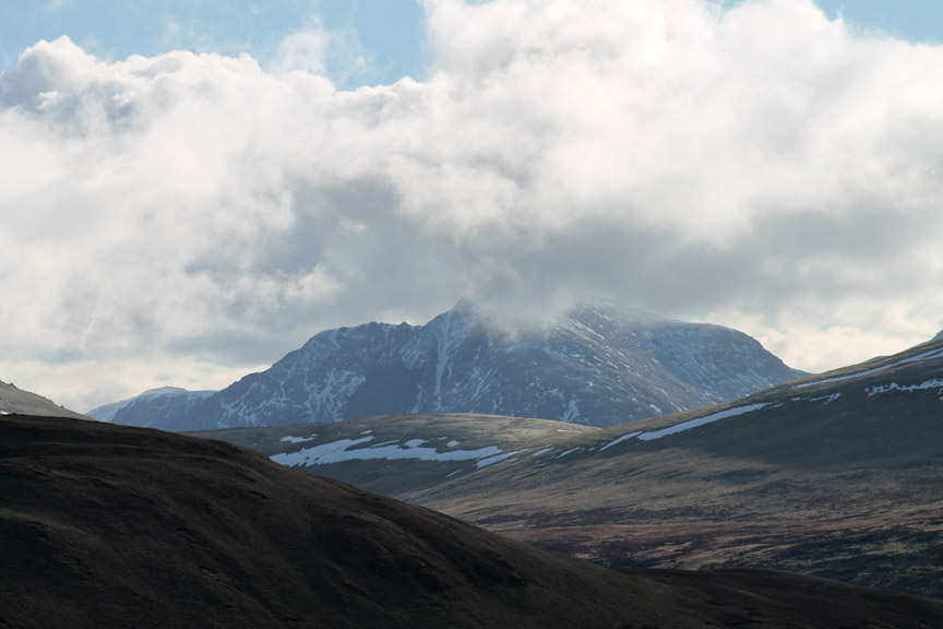
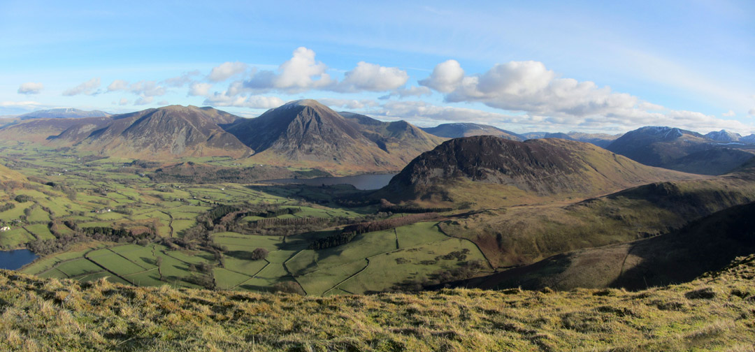
Cloud too on Pillar, but Pillar rock stands out as a black triangle on its face, just left of the long snow gully. That might even be Scafell Pike in the distance . . . but I think it is more likely to be Great Gable with its rounded top.
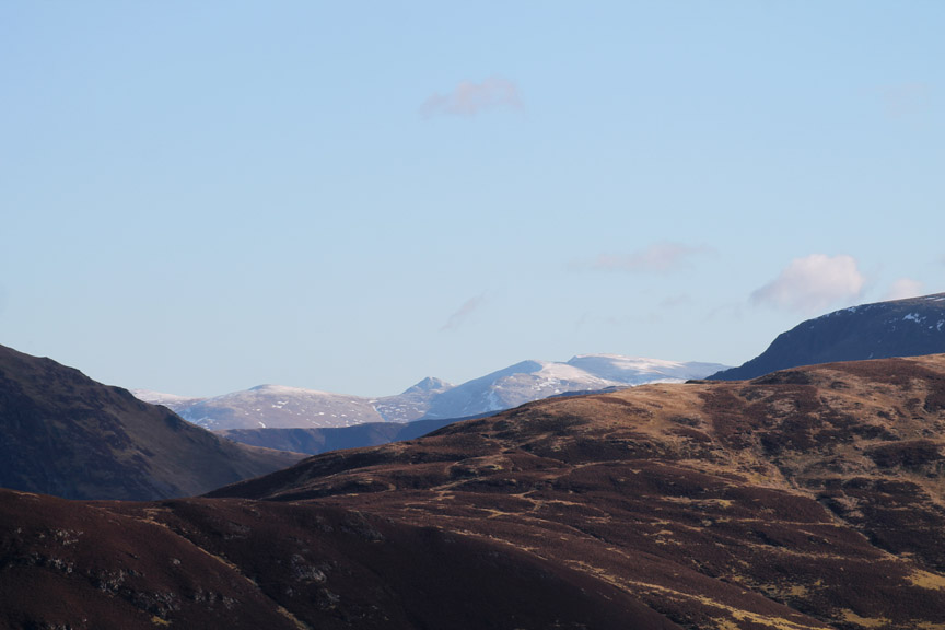
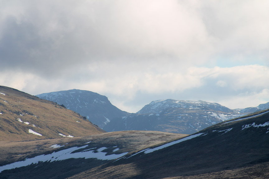
Further west, Haycock and Little Gowder Crag, again with that residue of snow.
Here's one to test YOUR knowledge . . . On the day all three of us were undecided as to the identity of the fells we were looking at. Bear in mind we didn't have the advantage of binoculars and that I've zoomed in on the photo. Worked it out ? . . . . hold your cursor over the picture to see if we agree.
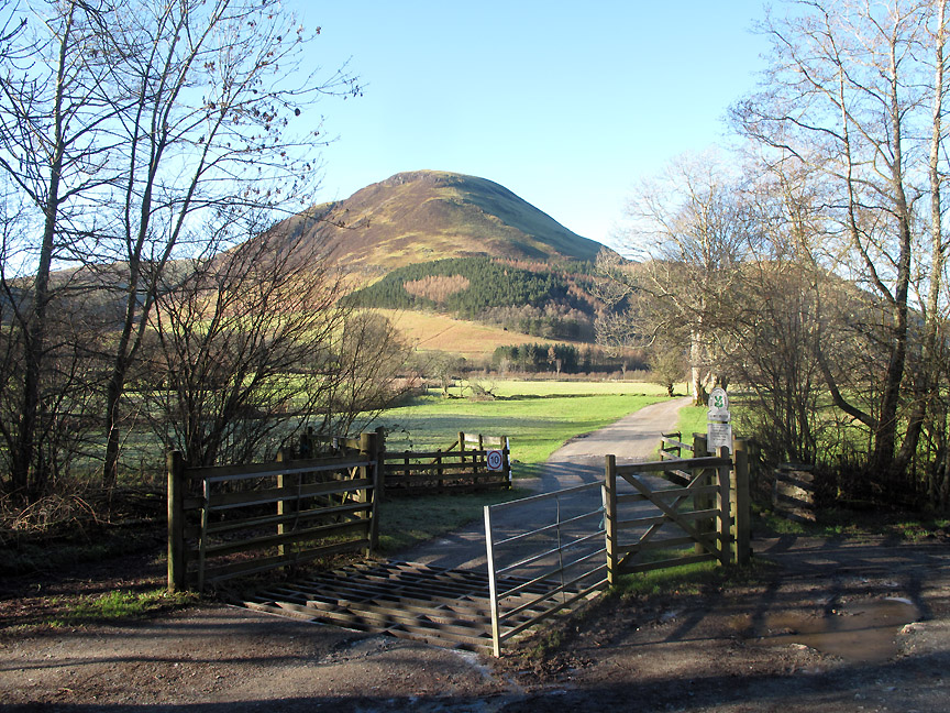
The first summit reached . . . Gavel Fell.
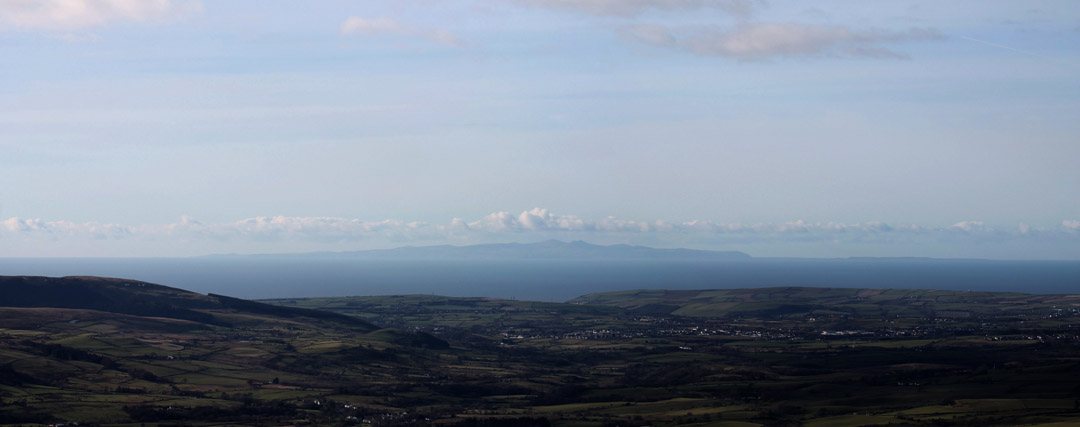
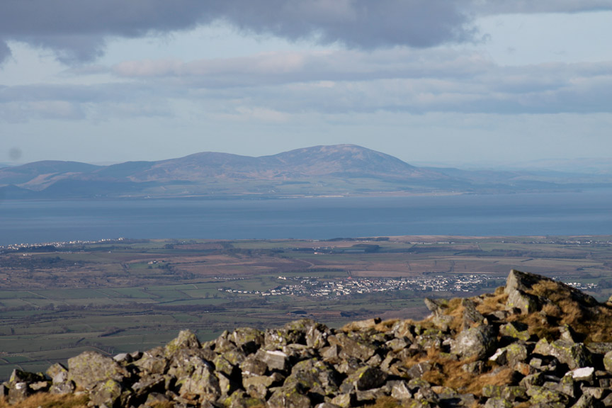
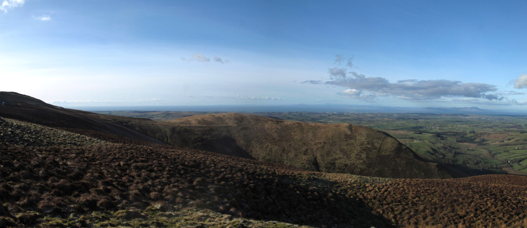
The visibility was great today and out to sea we had a clear view of the Isle of Man. Douglas, where the ferries go to is to the left, Snaefell in the centre creating its own personal cloud and the Point of Ayre way out to the right.
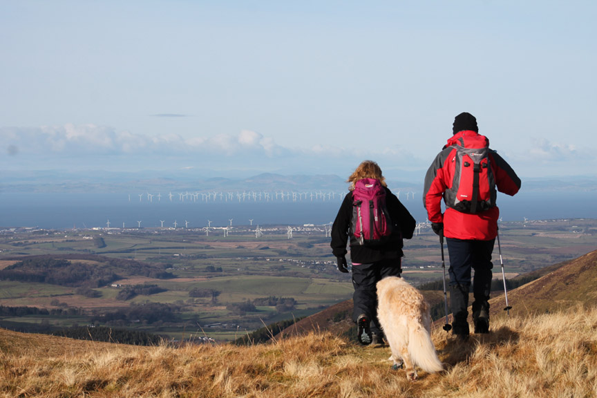
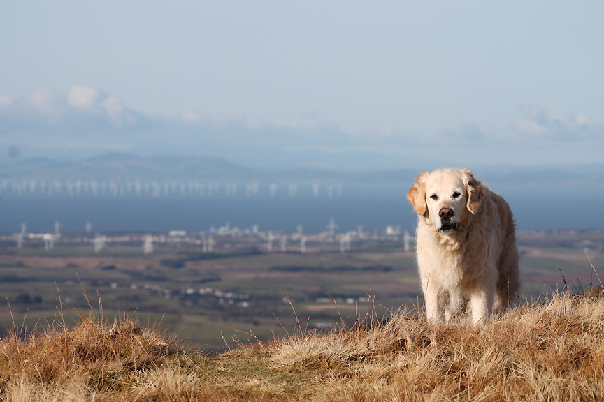
We head north from Gavel, the sun rather over-illuminating the wind farms, on and off-shore.
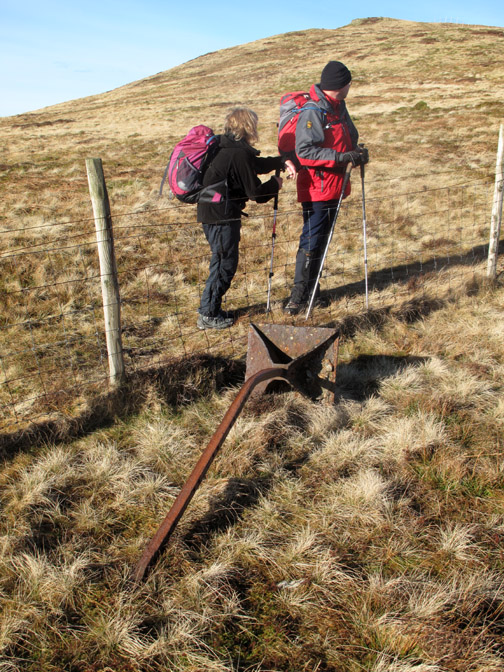
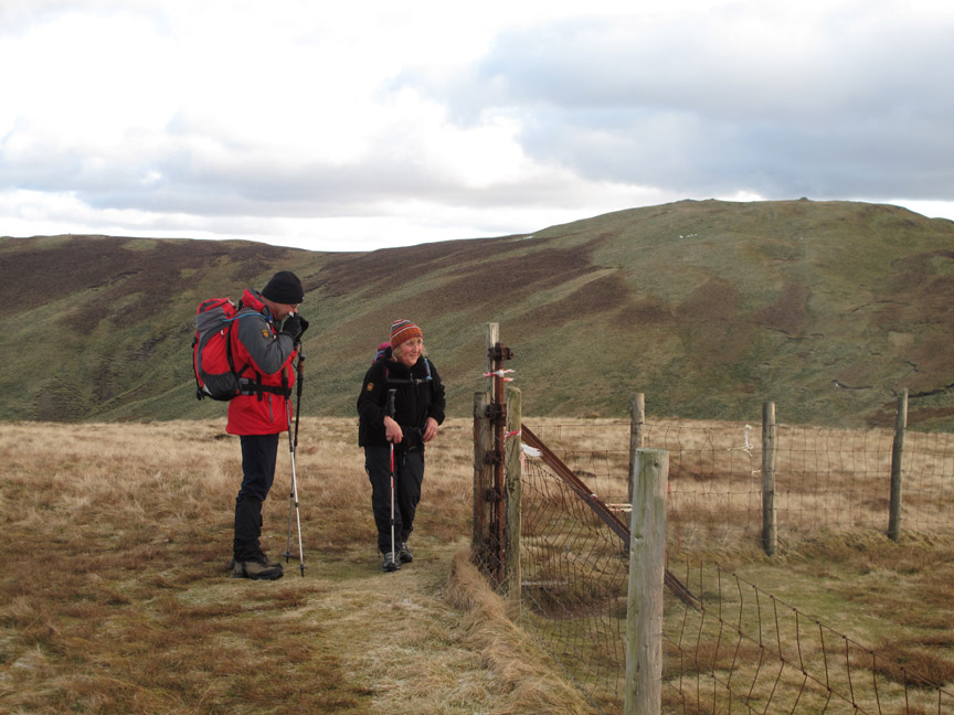
" Why aren't you following us ? " Harry comes back as I take longer than normal to sort out the lenses and the camera bag.
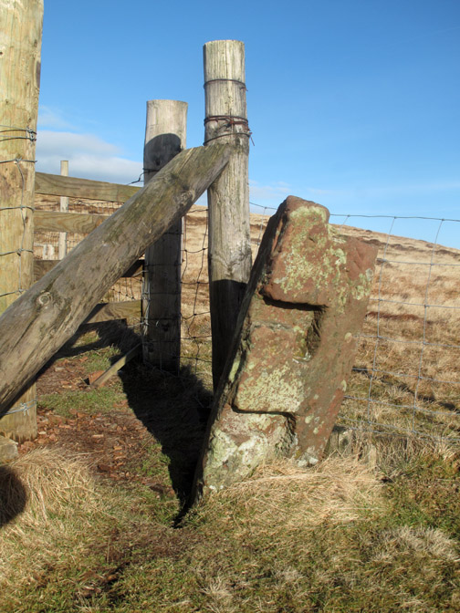
The corner post indentations show it to be an old gate post with drop in groves for the timber, a system used before gates were a cheaper alternative. The iron fence post has a large anchor foot. All the old posts had these but they are very rarely seen above ground. They anchored the foot of the fence post really well, especially in soft ground.
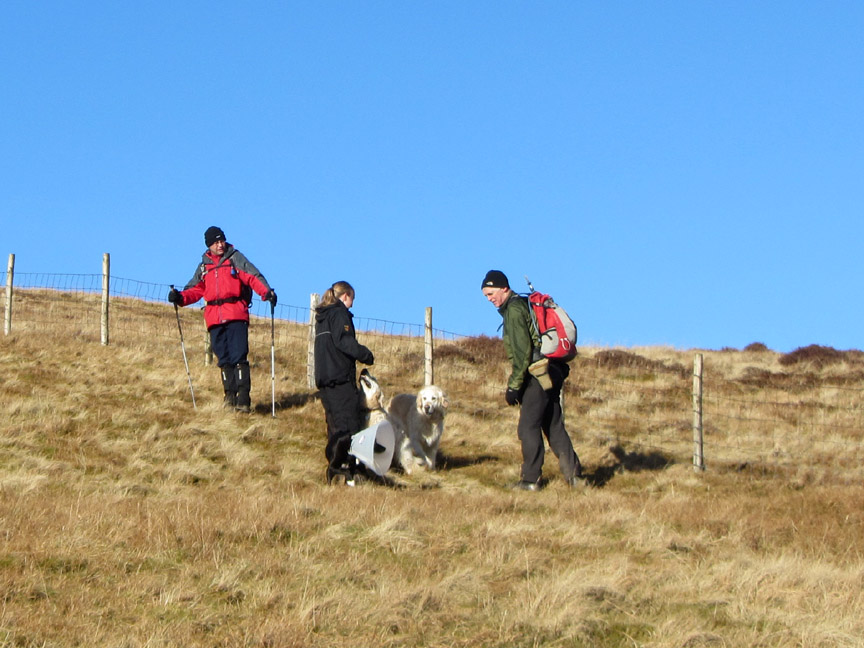
There were a surprisingly large number of folk out today, all enjoying the sunshine. This young lady had her black lab who still had his 'Elizabethan 'collar on following a minor op. It stopped him picking at the stitches.
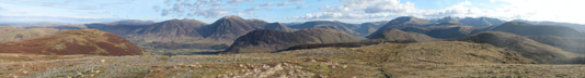
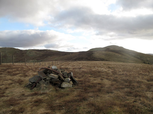
The high point of the day . . . physically speaking . . . the summit of Blake Fell.
Click here or on the photo above for a larger Loweswatercam annotated panorama of the Central Fells from the same spot.
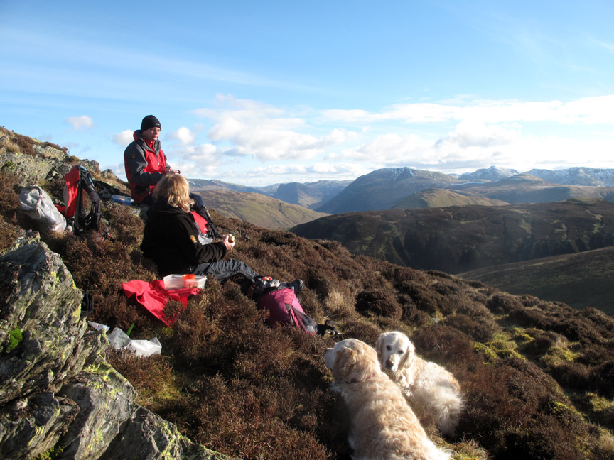
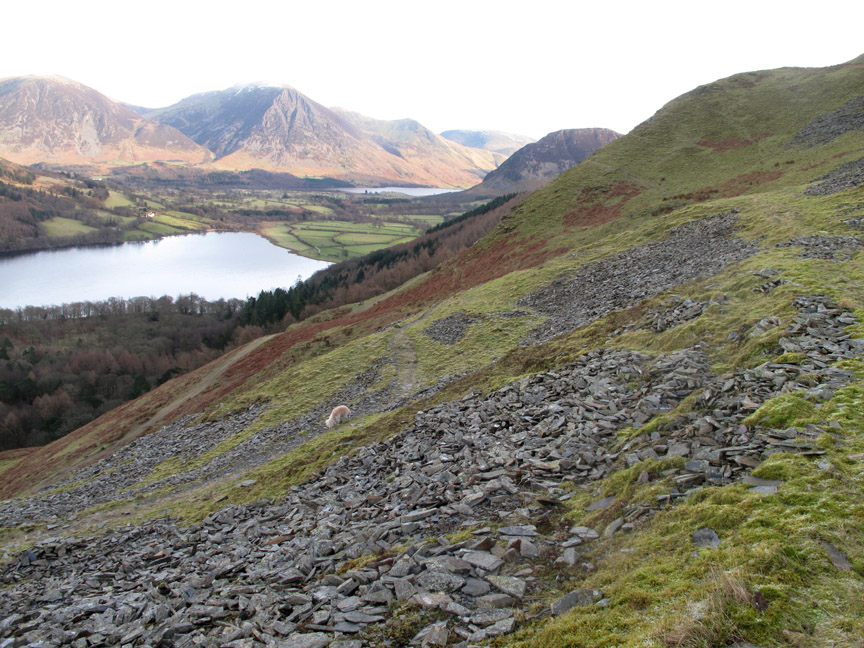
It was too cold a spot for lunch due to the north westerly breeze so we headed on towards Carling Knott . . . the line of crags along its ridge may provide a more sheltered location.
We were right . . . and our sheltered location enjoyed a great view as well.
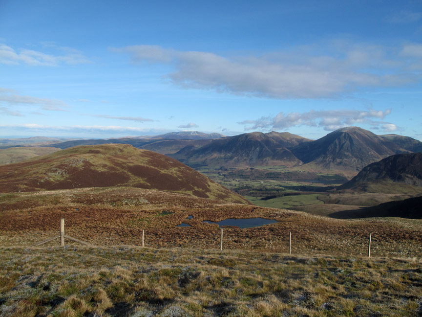
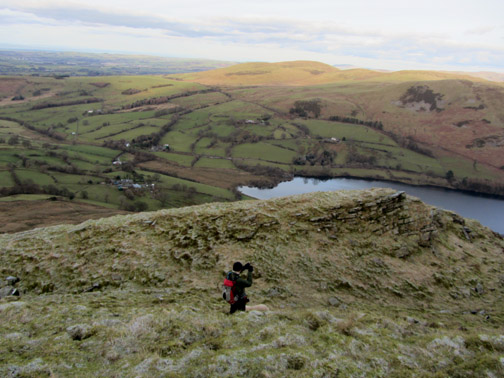
Onward . . . suitable fortified . . . towards the summit of this non-Wainwright summit . . . Carling Knott.
Superb views out over the Solway to Criffel and beyond.
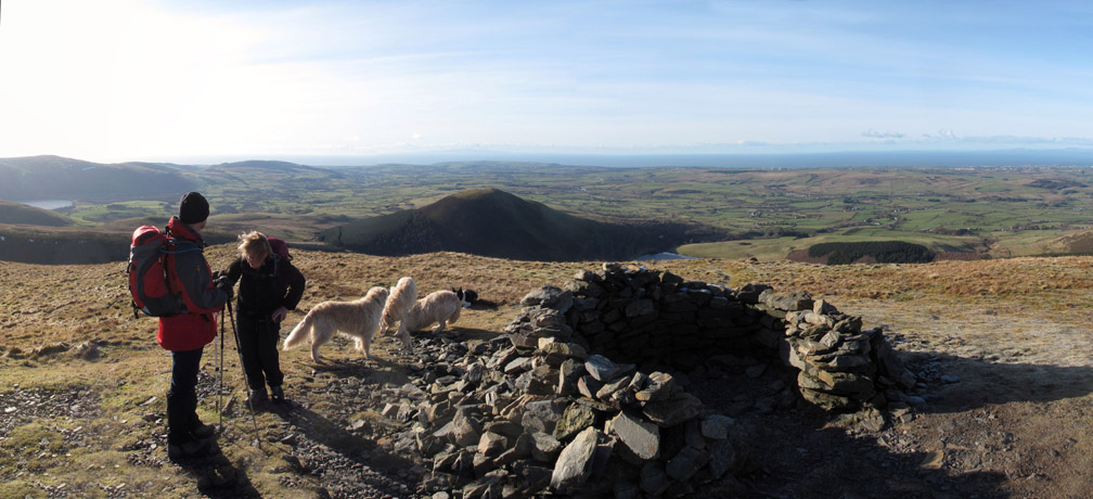
Rod reaches the substantial shelter on the summit. The shelter has a really well made inner-wall structure and is totally windproof, despite its outwardly ragged appearance.
Time to relax on the north eastern end of Carling Knott.
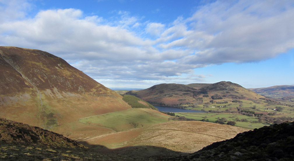
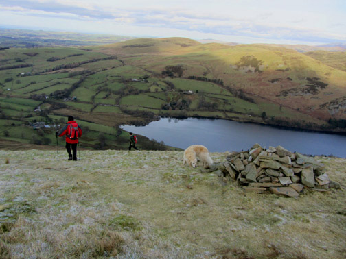
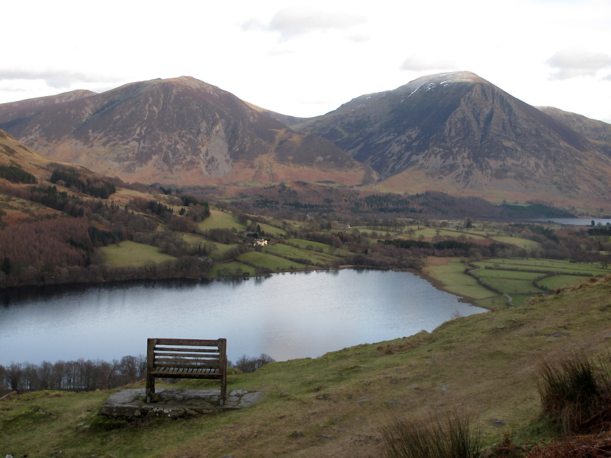
The wider picture from this excellent viewpoint With a fine view, a true summit and a prominent shelter, we wondered why AW had not included it on his list of 214 fells in his guidebooks.
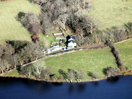
Zooming in on the Loweswater part of the valley . . . " You can see our house from here . . . it's that white dot near the middle ! "
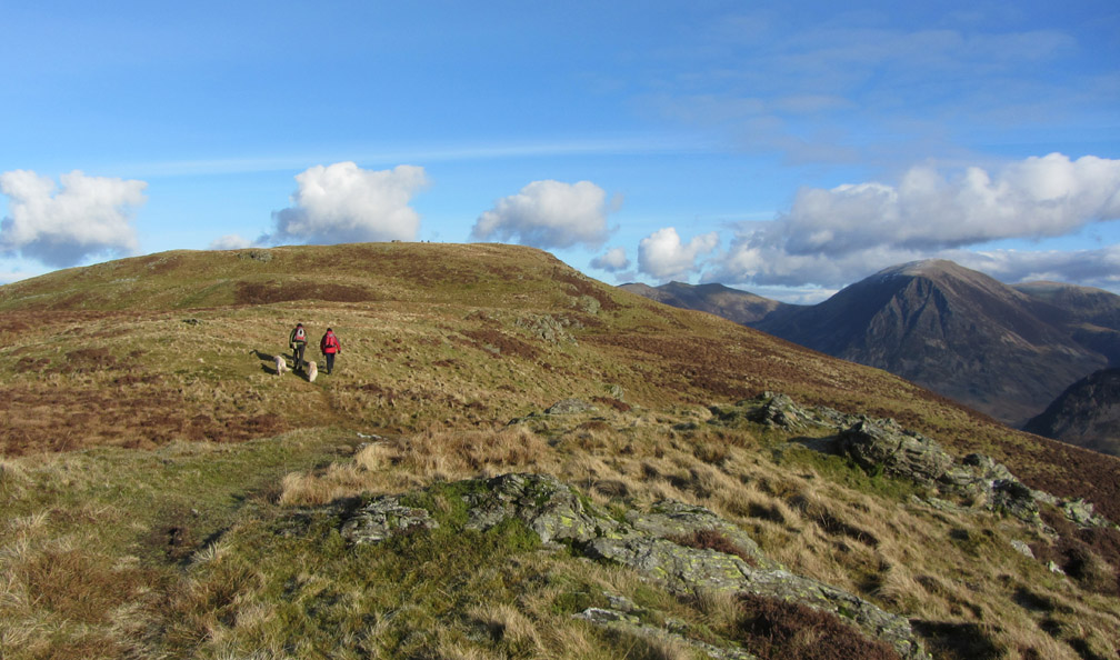
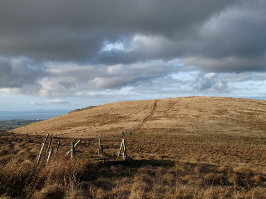
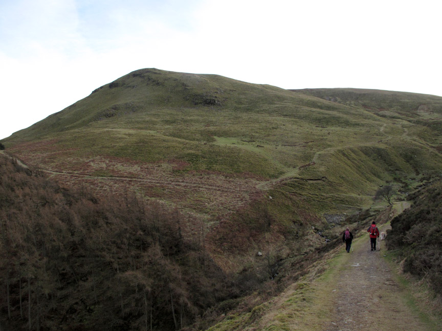
From Carling Knott there just remained one summit to climb . . . or should we say descend to. The northernmost arm of Blake holds the fourth summit, Burnbank Fell.
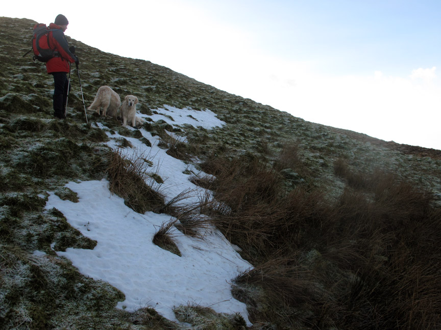
Above the snow-line. Here in the shadow of the summit of Blake the last of the snow holds on, sheltered from the warming rays of the sun.
Fear not, the last summit does have a slight rise . . . so we can climb up to Burnbank.
The only thing missing is clear access to the summit cairn . . . it's over the fence to the right. Carling Knott's big summit shelter can be seen on the ridge behind . . . how is this a Wainwright and that one not ?
From the northern end there's a steep drop off to the wall below. Bethan takes the plunge . . . care needed because the grass is slippery with the frost.
What appears to be a very old slate quarry . . . the quarry tracks are there but there are no cut edges or steep drops.
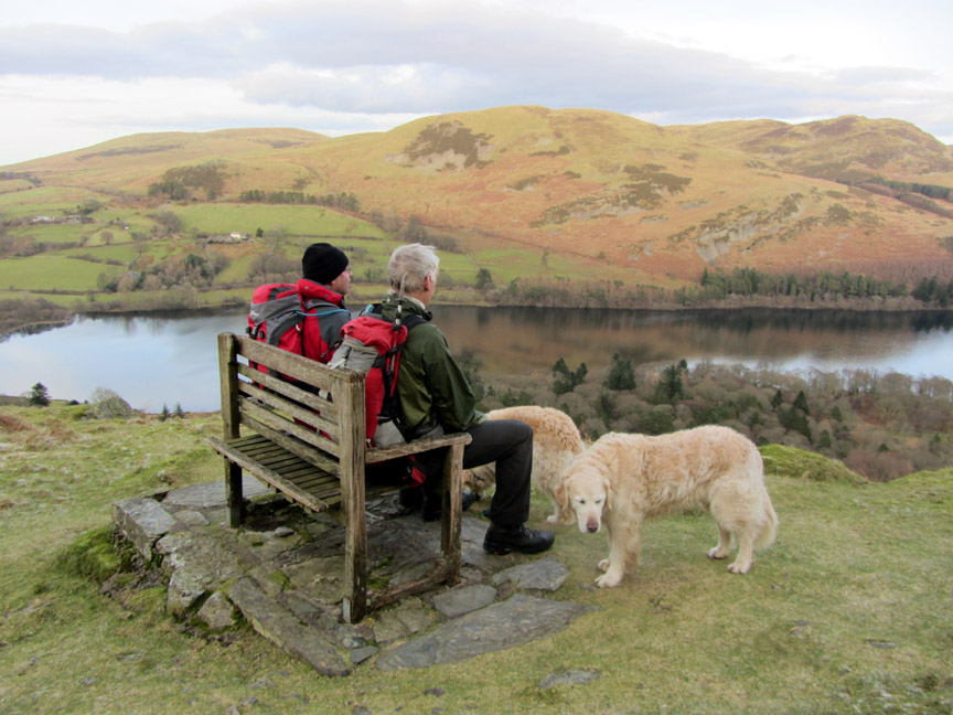
Down below the quarry we reach the Coffin Road and the old wooden chair It has been repaired since I took a picture of it for the January page of the 2013 Loweswater Calendar.
Time to sit and relax again as Ann tells us to "look happy" Hold your cursor over the picture to see whether we did !
Back along the Coffin Route now . . . heading for High Nook once again.
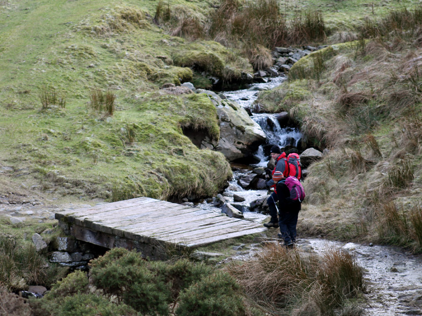
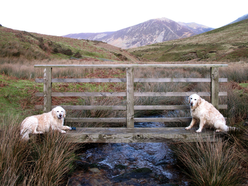
Take car on the "black ice" on the bridge.
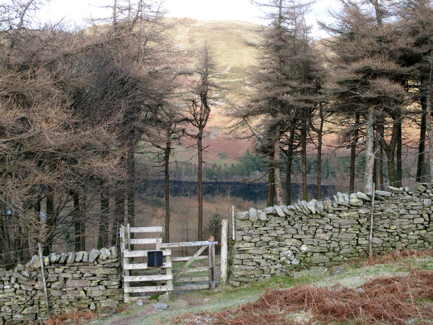
We'll pass on the Holme Wood path today in favour of the main track.
High Nook Tarn . . . a delightful little tarn that receives relatively few visitors
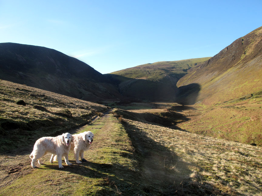
Bookends . . . now I can see why Harry lost his green sock a short while later . . . it is almost falling off. [ Note: he's not wearing it now on every walk as his pad is almost healed ]
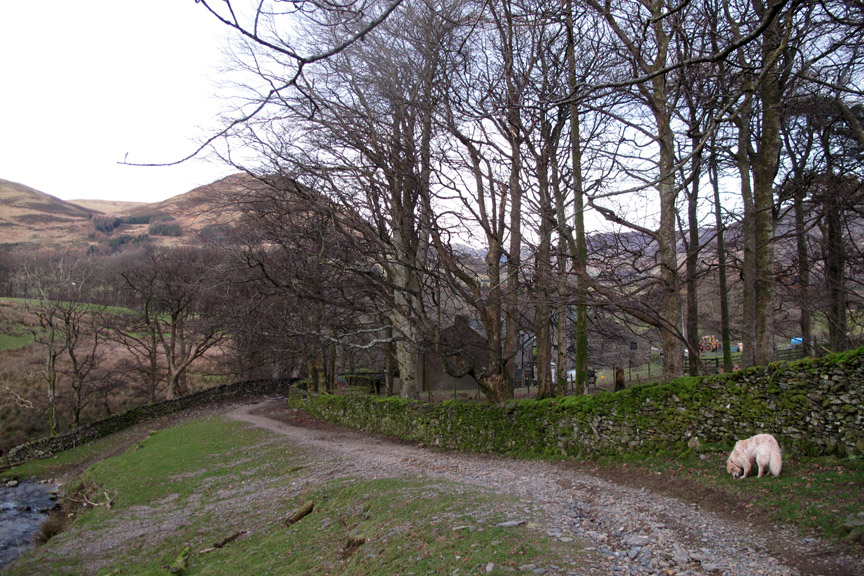
Back down through High Nook Farm.
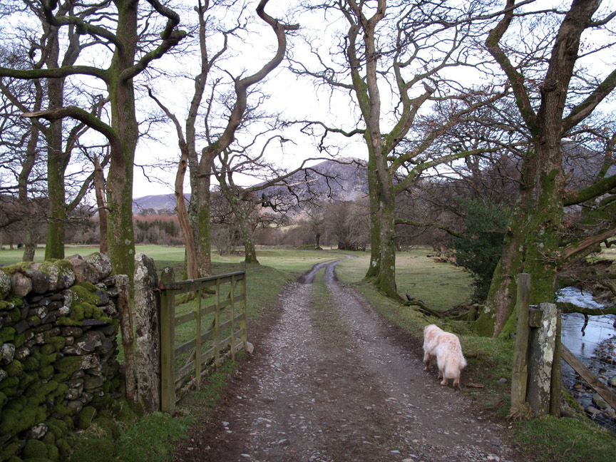
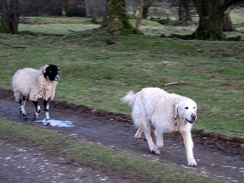
Just one last (big) field to cross.
I think we can safely say that Bethan's sheep training has withstood the test with flying colours. - - - o o o - - - |
||||||||||||||||||||||||||||||||||||
Technical note: Pictures taken with either Ann's Canon Sureshot SX220, my Canon G10 or 1100D SLR digital cameras. Resized in Photoshop, and built up on a Dreamweaver web builder. This site best viewed with . . . tea and cake not a mile away ! Go to Top . . . © RmH . . . Email me here Previous walk - 27th January 2013 - Walla Crag with Jenna A previous time up here - 10th Feb 2008 Sunshine with a difference on Blake Fell Next walk - 6th - 8th February 2013 - Binsey by Phone
|