|
|
|
 |
Remember: Press F11 for a
full screen view of this page. |
Web Counter when published 2
046 250 |
|
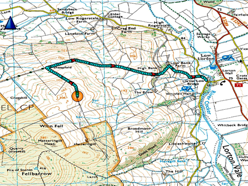
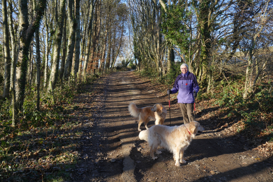
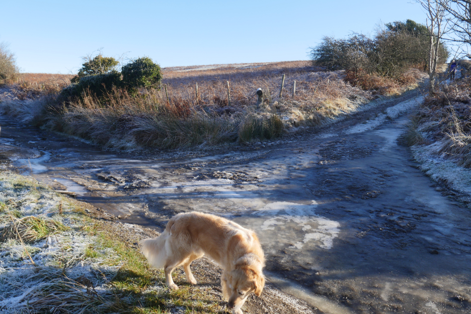
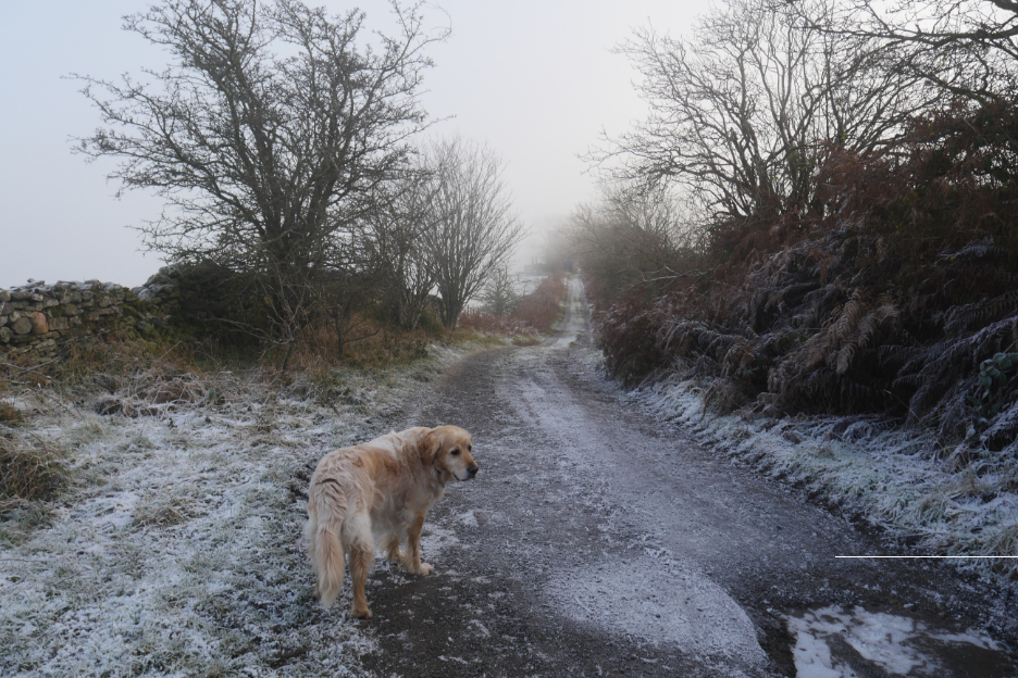
" The Other Mosser Road, from Lorton " Date & start time: 11th December 2022. 12 noon start. Location of Start : Roadside near Low Lorton Bridge, Cumbria, Uk. ( NY 151 257) Places visited : Low Bank, High Bank, the Mosser Track, Hatteringill track, then back. Walk details : 3.5 miles, 725 ft of ascent, 1 hours 50 mins. Highest point : On the track to old Hatteringill, 906 ft - 279m. Walked with : Loes, Myself and the dogs, Dylan and Dougal. Weather : Frosty, cold with beautiful winter sunshine and cloud inversion.
|
© Crown copyright. All rights reserved. Licence number PU 100034184. |
|
Another walk in this lovely winter weather, such a change from the rain and winds of Autumn. Loes and I planned to climb Sale Fell but because of the cloud we drove into on the way towards our destination, we turned back and headed up the old Mosser Track instead, taking advantage of the midday sunshine closer to home.
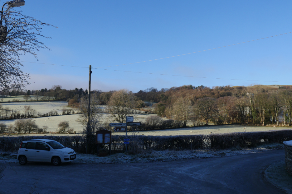
The roads are slippery and so Loes and I decide to park on the valley road close to the Low Lorton Bridge. The actual parking space was around the corner . . . that's a courtesy car by the way . . . don't ask about my lovely Subaru !
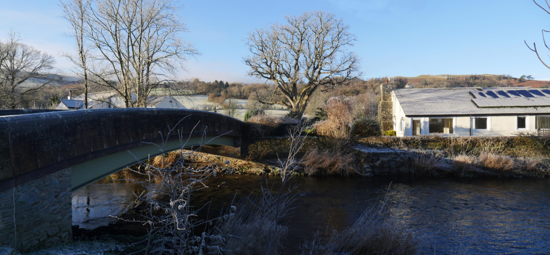
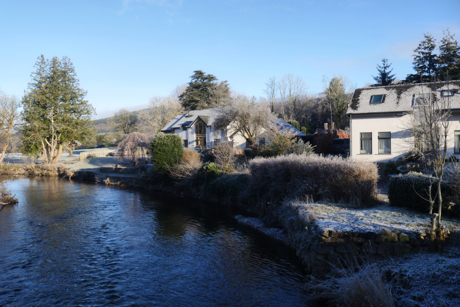
While we were stopped, I walked back a few yards to picture the bridge in its winter mantle. You can see the wide span steel arch under the roadway, a product of the rebuild following the 2009 floods.
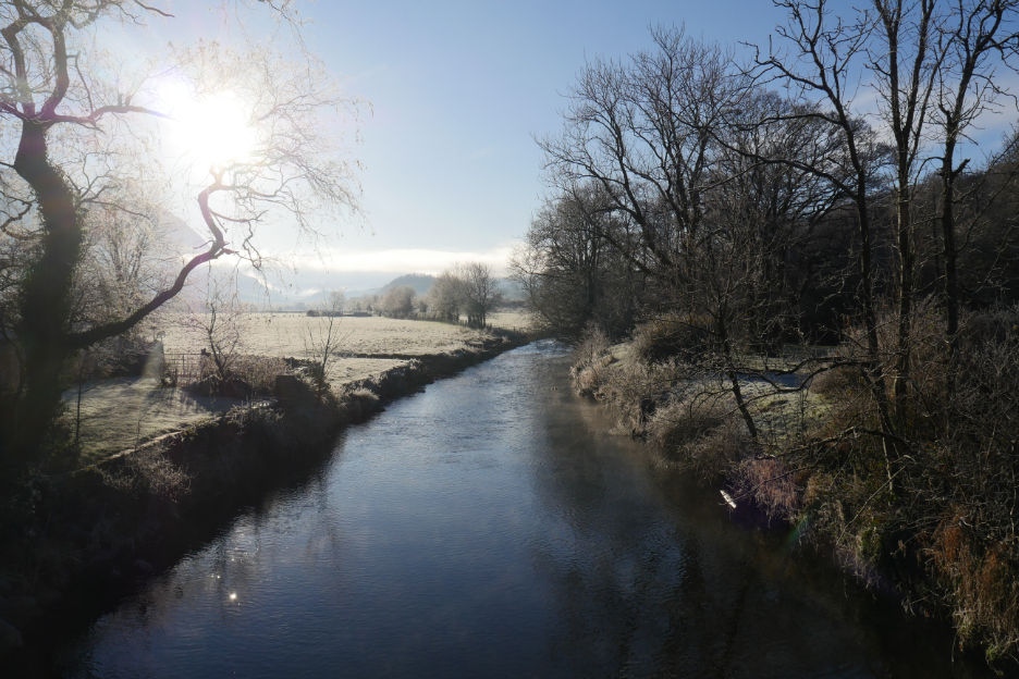
Looking up the tranquil River Cocker, to Mellbreak and the cloud covered Buttermere Fells.
The houses on the east bank, the Lorton Village side of the river.
The Old Mill on the opposite bank.
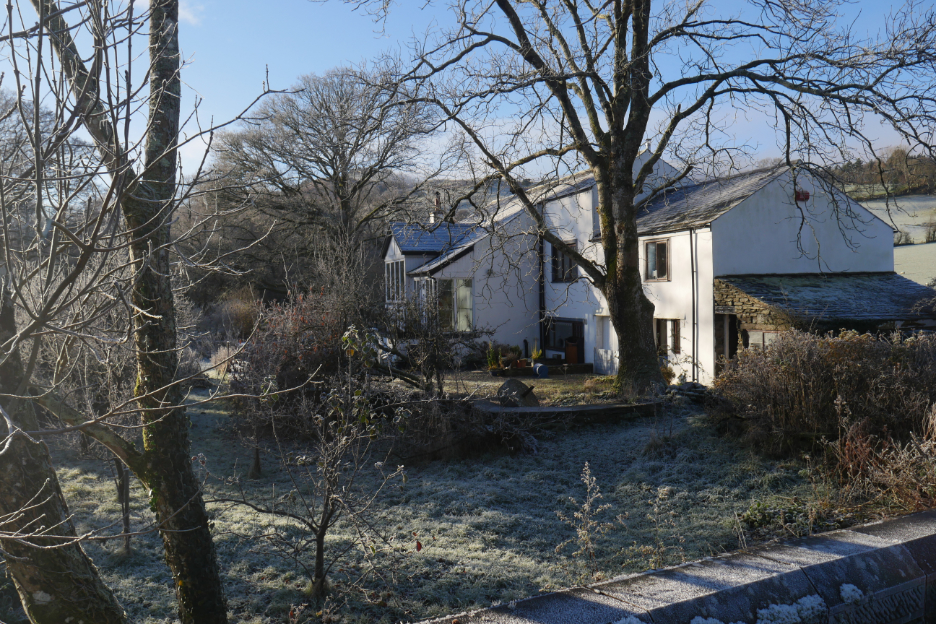
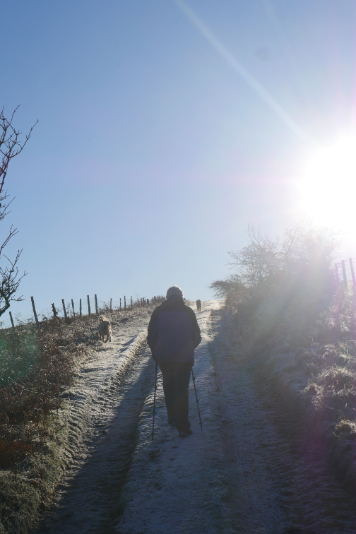
We make a start on the climb, up the steep valley side towards High Bank Farm.
The views across to Whinlatter improved as we progressed.
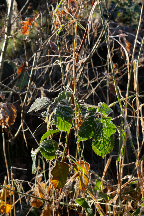
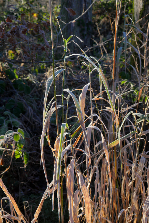
Above the houses now and near the edge of the woodland, so the trees are wider apart and the sunshine is more able to penetrate and clear the frost on what is now an un-made road.
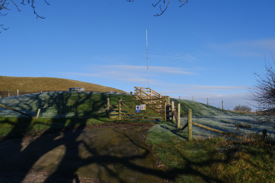
We pass a "header reservoir" for the Village of Lorton water supply.
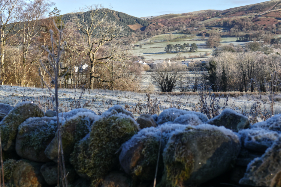
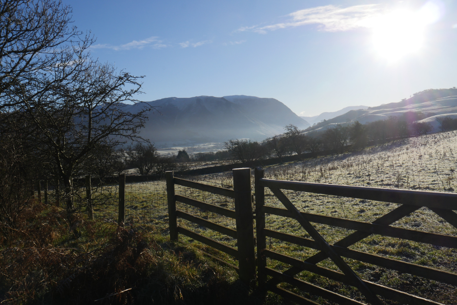
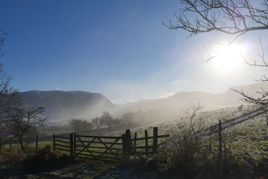
On the other side of the road a clear farm gate gives us views back down into the Lorton Valley.
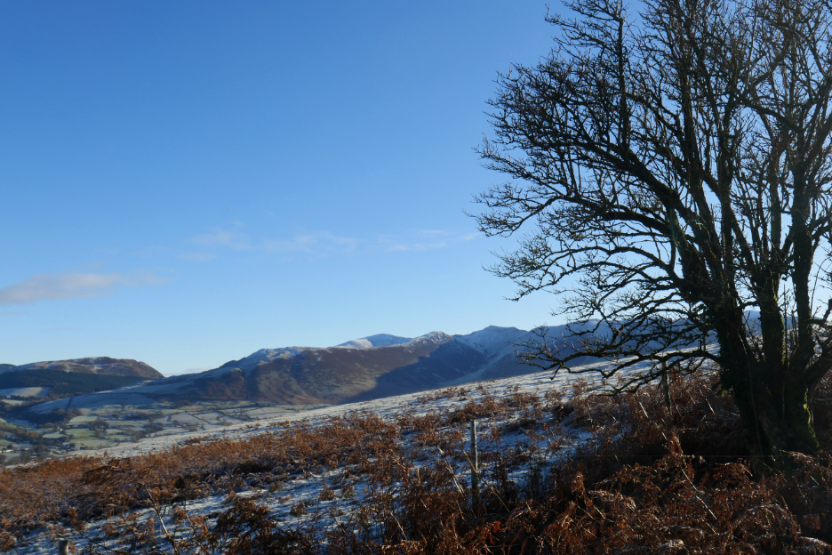
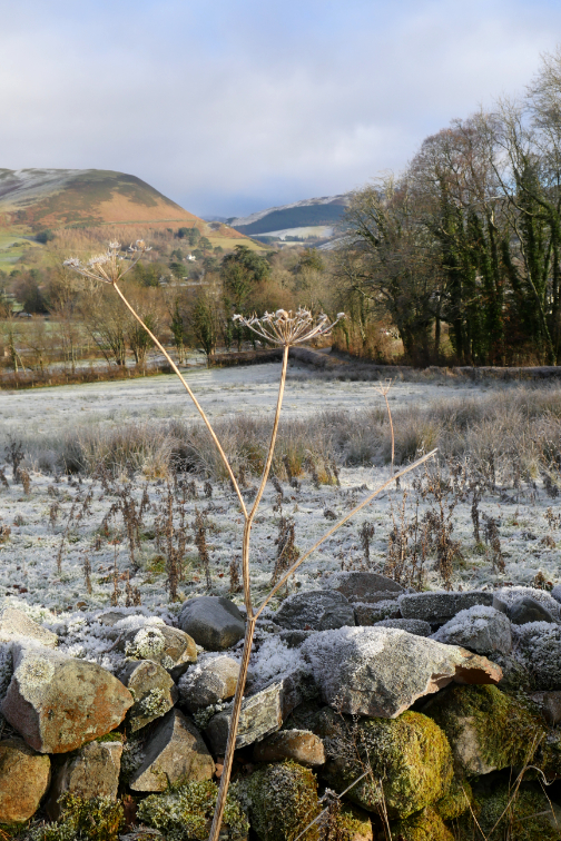
Looking up to Hatteringill Head and the slopes of Fellbarrow beyond.
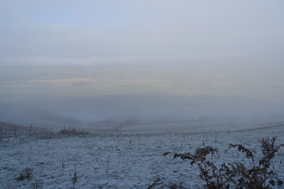
The first part of road climb done and the track levelled out and gave us views north towards the Solway . . . somewhere out there.
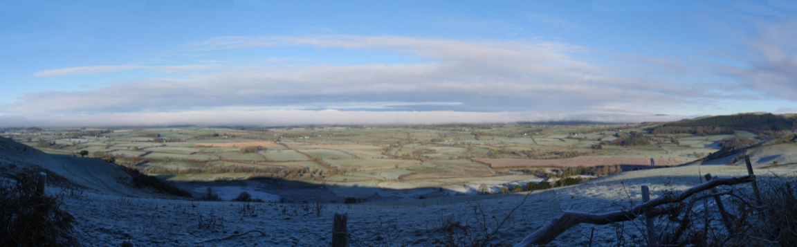
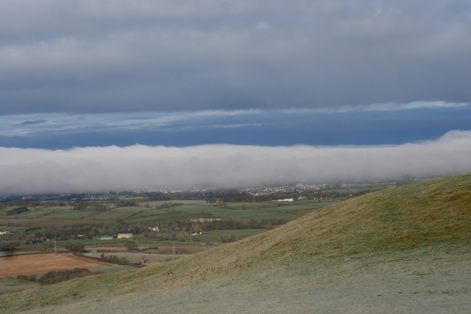
A wider panorama once the full extent of the cloud was on show. It was this cloud we drove into earlier, on the way to Embleton.
The cloud bank lying over Cockermouth. Soon after this we enter the shade behind this side of the hill, take a left turn and head up on the Hatteringill Track.
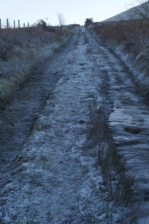
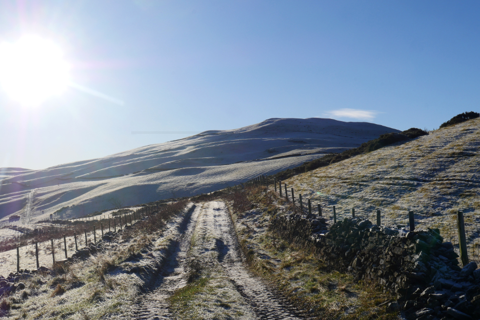
It hasn't seen strong sunshine up here for some time . . . by the look of the ice !
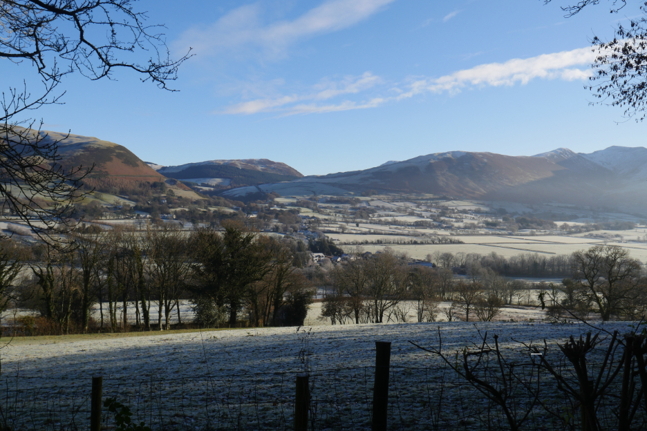
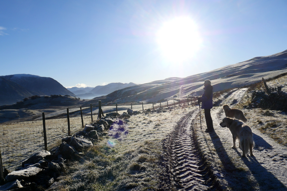
Looking across to Lorton's Kirk Fell, Hopegill Head and Whiteside. Had we driven to Sale Fell now it would have been clear, but the weather is great here so no matter.
What better winter views do you need . . . all the way up the valley to Great Gable in the distance.
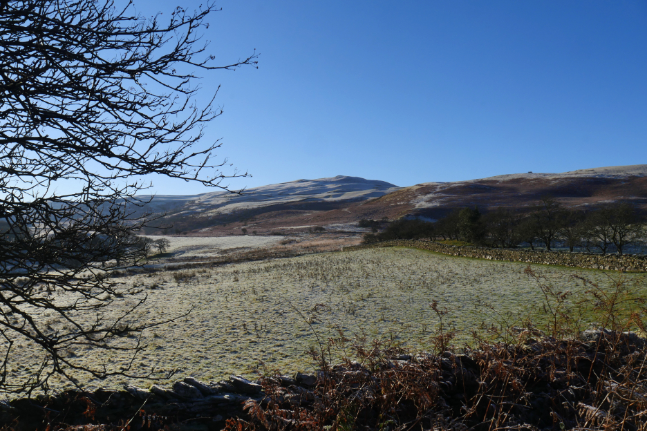
That's Hatteringill Head . . . with the northern slopes of Fellbarrow beyond.
We were soon back on the Mosser Track . . . but it looked different now. The gentlest of breezes was bringing the cloud up the slope and over our heads.
It looks a lot colder when you remove the sunshine.
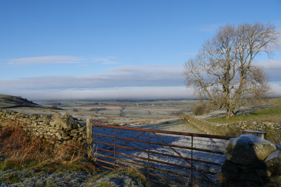
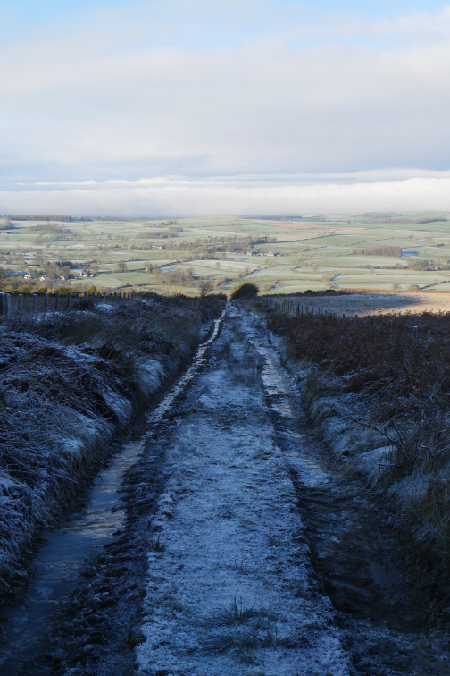
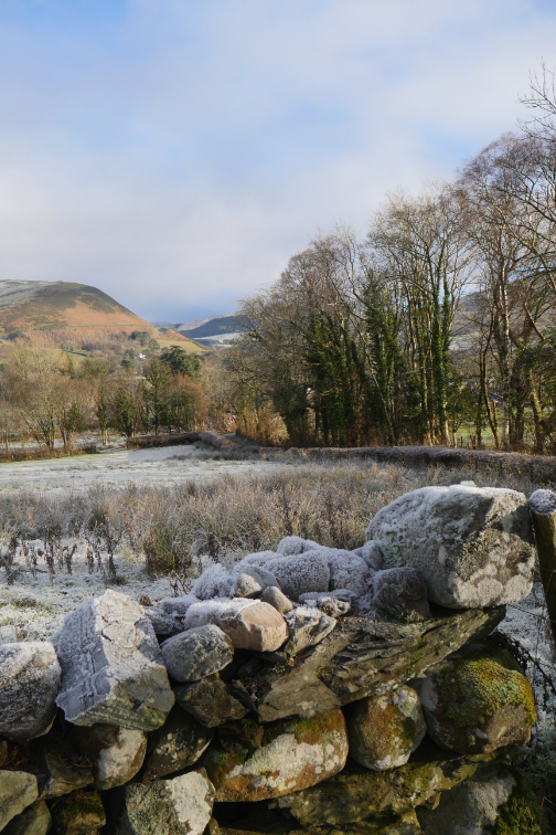
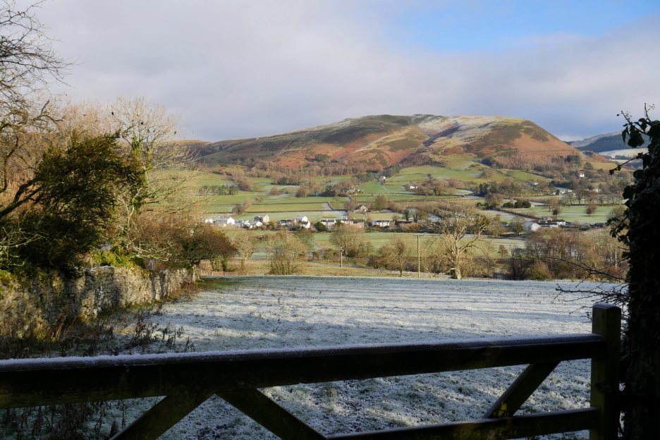
By the time we reached the farm gate by the reservoir, the cloud had blown over us and was starting to dissipate allowing us views of the Lorton Valley once again.
A fine and clear view of Lorton as we end the walk and head home for a late lunch. - - - o o o - - - |
Technical note: Pictures taken with my Panasonic Lumix Gx8 Camera.
Resized in Photoshop, and built up on a Dreamweaver web builder.
This site best viewed with . . .
Go to Home Page . . . © RmH . . . Email me here
Previous walk - 8th December - Frosty Crummock Water
A previous time up here - 16th April 2014 - Dylan's First Walks (He's 9 years old next month by the way)
Next walk - 14th December - Lorton's Old Mosser Track
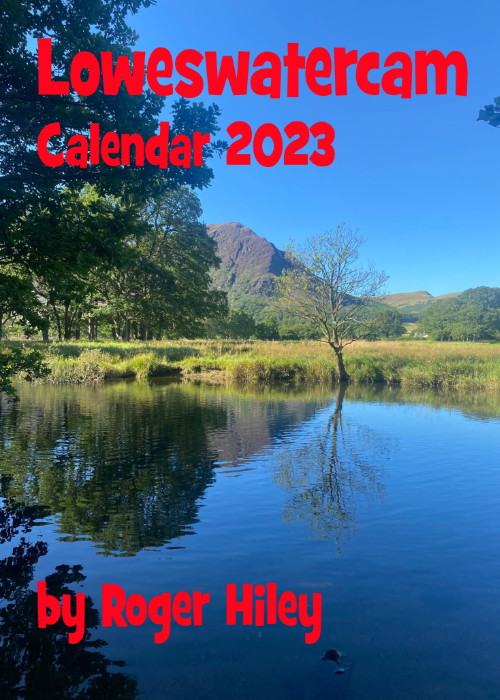 |
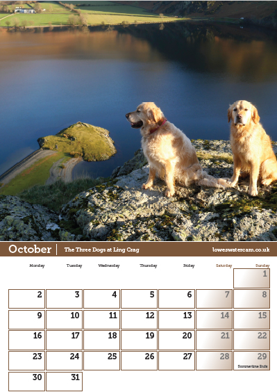
The last box but still chance for you to buy . . . The 2023 Loweswatercam Calendar. On sale now ... start the New Year in style ! For the 14th annual edition of the calendar we have been looking back at the year to bring you twelve months of Loweswater pictures and Cumbrian scenes.
Click here or on either picture to see the full details. £12 a copy (plus postage + packaging if required) £1 of every calendar sold goes to support the Air Ambulance and Cumbrian Mountain Rescue.
|
 |