|
|
|
 |
Remember: Press F11 for a
full screen view of this page. |
Web Counter when published 2
042 500 |
|
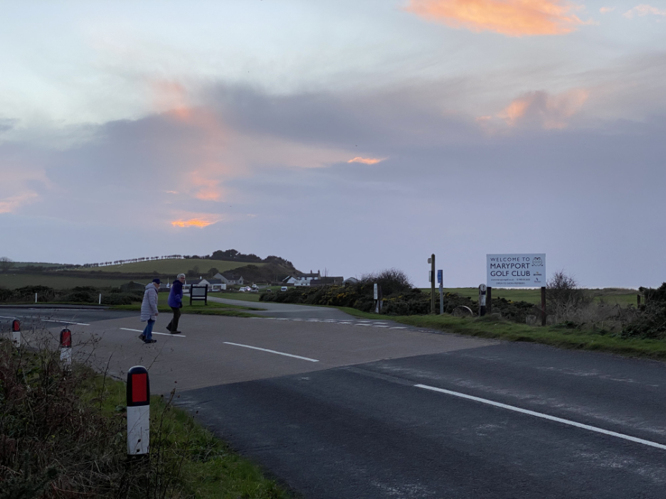
" The Solway Coast and Crosscanonby " Date & start time: 27th November 2022. 2.05 pm start. Location of Start : Close to the Maryport Golf Club, Cumbria, Uk. ( NY 048 384). Places visited : Cumbrian Coastal Way, Crosscanonby and back over the golf course. Walk details : 3.5 miles, 150 ft of ascent, 2 hours 10 mins (excluding refreshments). Highest point : Crosscanonby Church, 100ft - 31m above sea level. Walked with : Lill, Loes myself and the dogs, Dylan and Dougal. Weather : Cool with late afternoon sun between high clouds.
|
© Crown copyright. All rights reserved. Licence number PU 100034184. |

|
With Loes and her friend Lill from Cockermouth, we head out to the coast for a change and head for Maryport Golf Club. There's parking on the Links and it gives easy access to the coast path. A nice round walk would include the village and church of Crosscanonby, which I haven't visited since 2016.
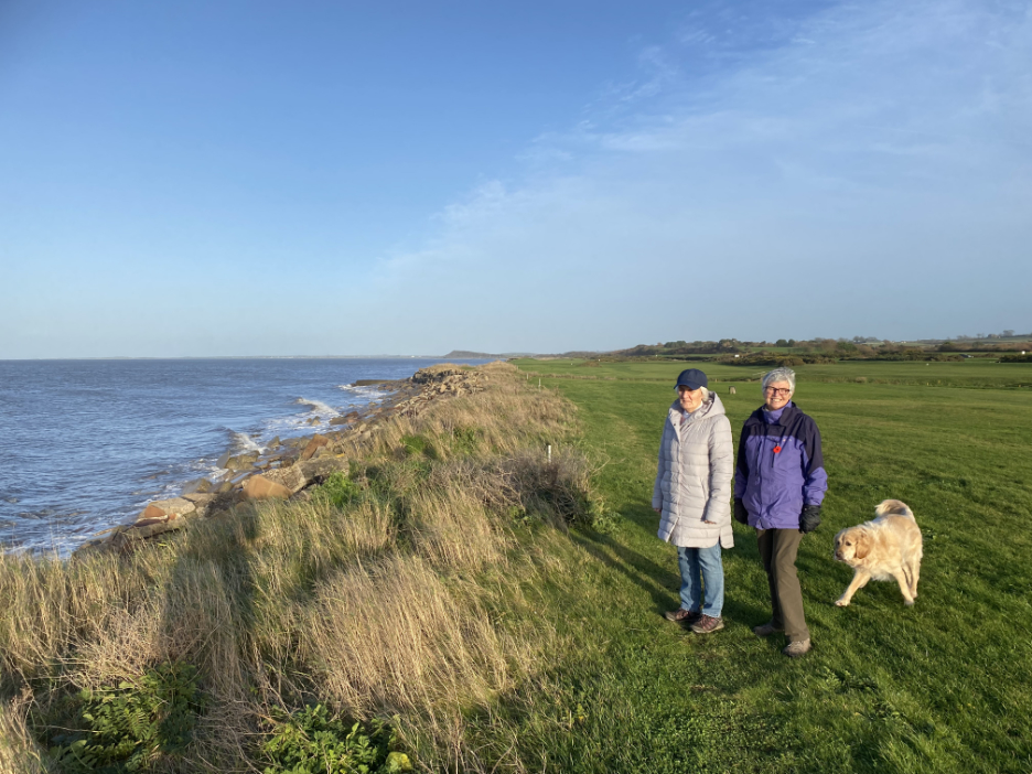
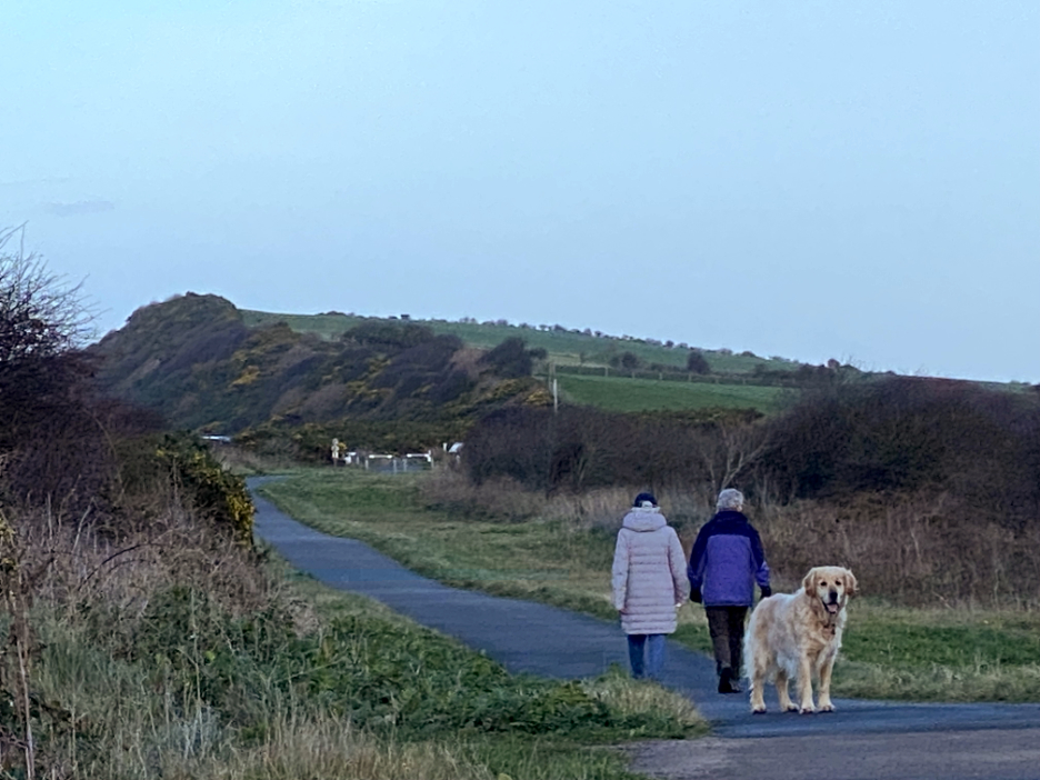
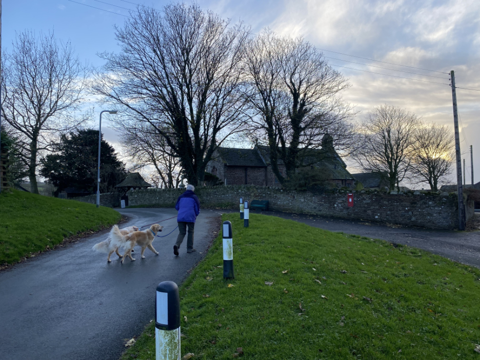
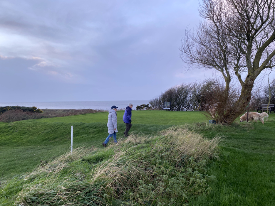
My companions for today, Loes in the purple coat and Lill in the white, both wrapped up warm as there's a chill in the air this afternoon.
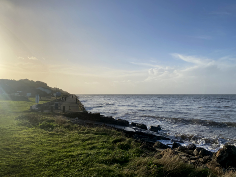
We join the coast path at the northern end of the Maryport promenade and sea wall.
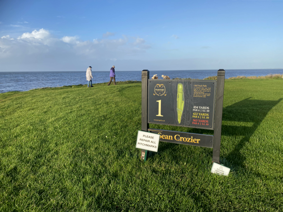
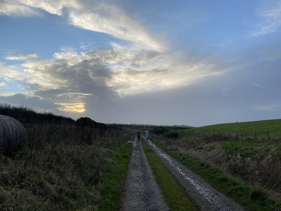
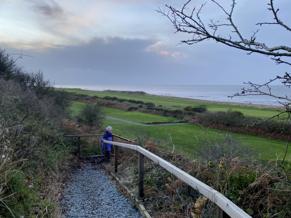
Our starting point . . . adjacent to the first hole on the Maryport Golf Course.
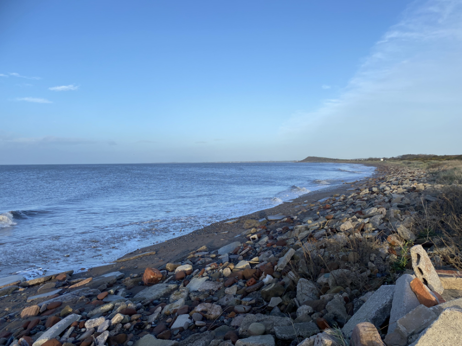
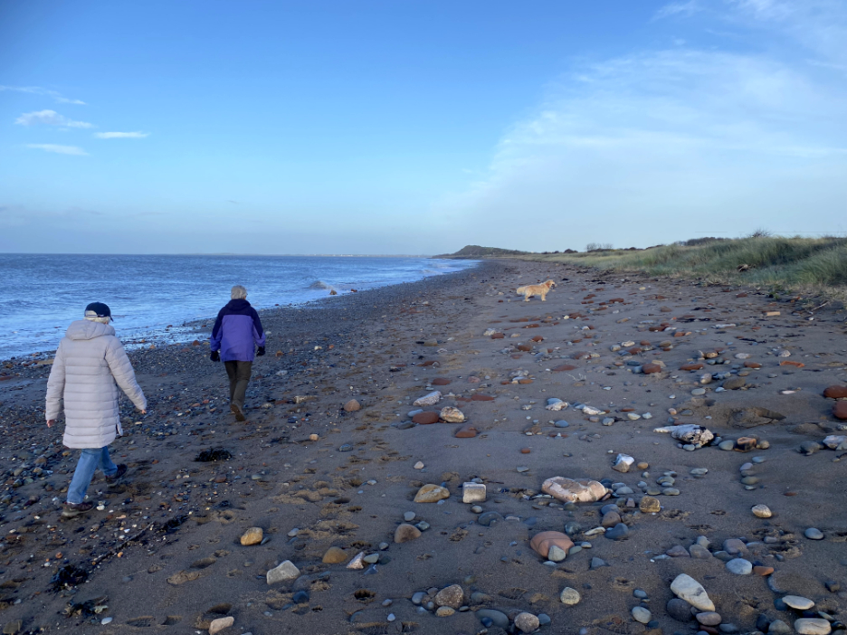
The path will take us along the top of the beach. It looks good with the tide in, but apparently at low tide there's a reasonable amount of darker sands reaching out into the Solway. The top of the beach is covered by sea-worn rocks, concrete and old bricks, presumably sea defence measures from years back.
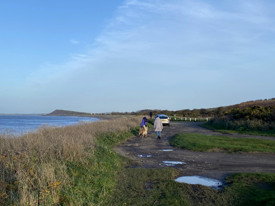
The path eventually meets up with the coast road from Maryport to Silloth. Don't panic . . . this is just an off road car parking area !
With rather more sand we walk for a while on the harder sea-washed shoreline, but soon pass in favour of an easier walking surface.
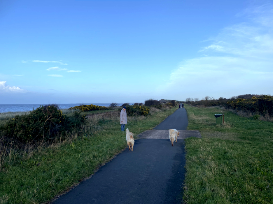
On the other side of the road is the coastal cycle way and footpath . . . you can't get much easier walking than this.
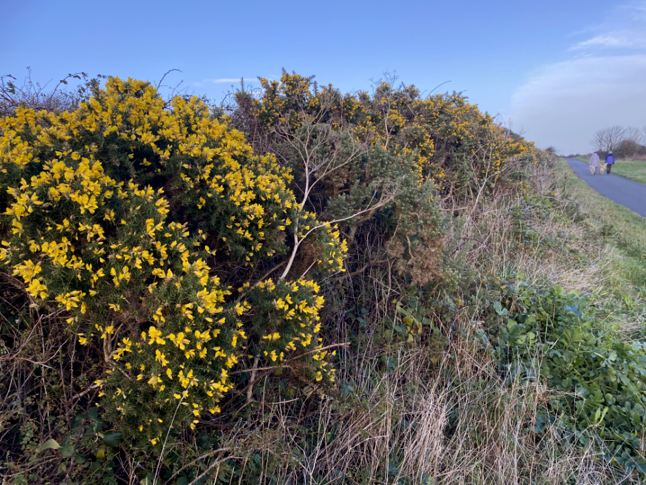
Colourful gorse flowers defy the season and cheer us on the way.
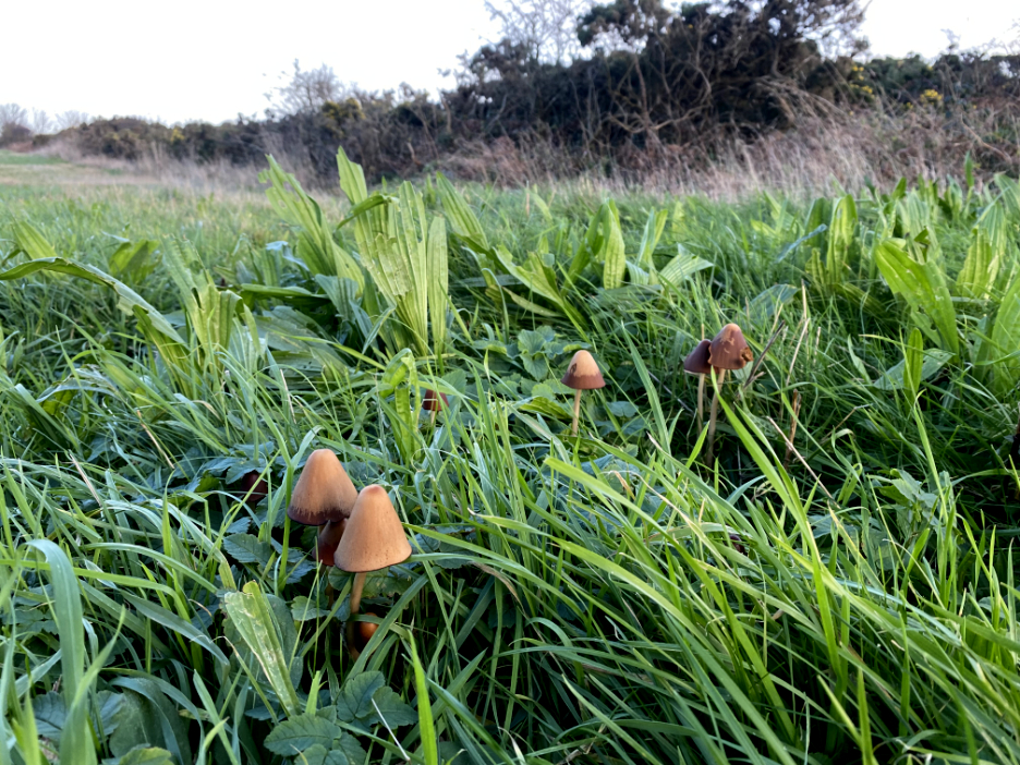
On the opposite side of the track, where neither man nor cycle venture I found these delightful small late autumn toadstools.
Dylan waits as I catch up . . . ahead is the rise that has a Roman Fort on it This is the first fort after Maryport, in the defensive line which stretched from here to Wallsend in Newcastle.
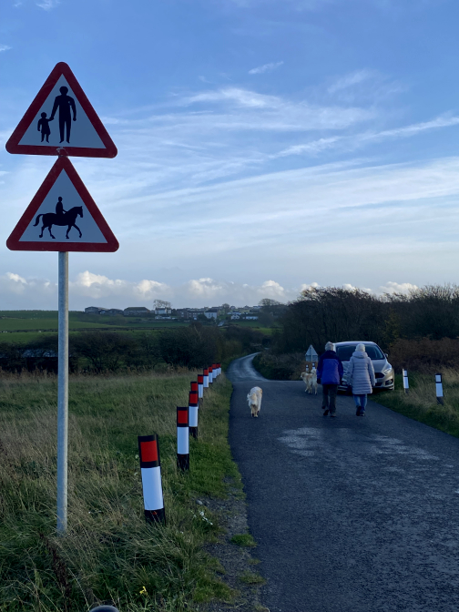
Road signs advertise the location and the possible danger ahead from people crossing the road.
On the junction was an information board about the Roman Fort.
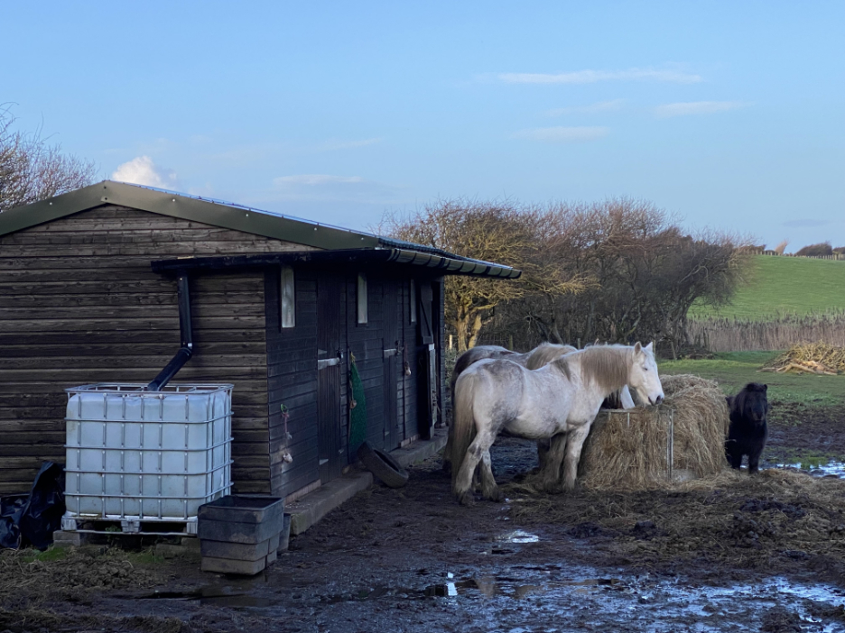
Funnily enough the sign didn't advertise the horses. I thought they may have been the ones I remember from last time, but they turn out to be a totally different colour . . . and a different farm.
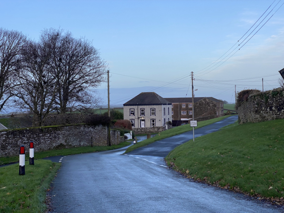
Looking back after our walk up the 'hundred foot hill' into the village.
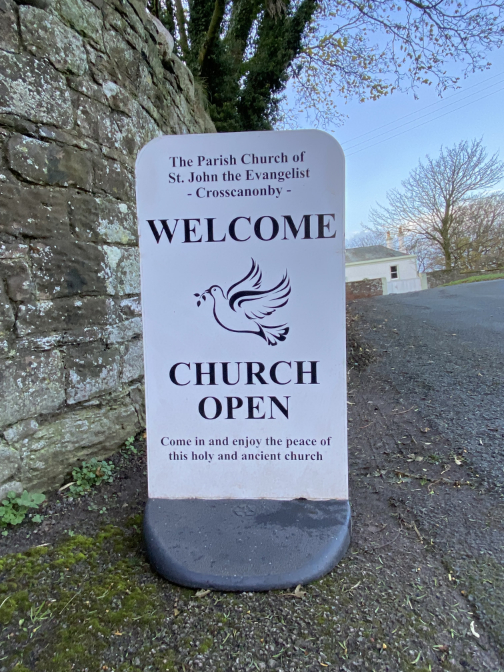
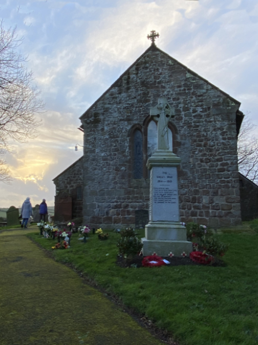
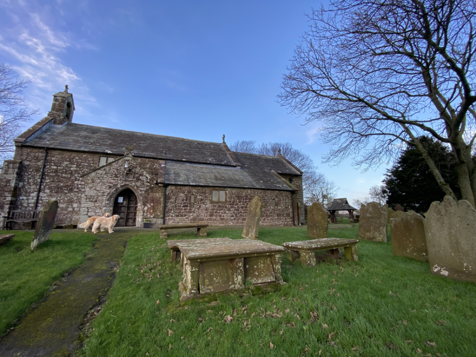
At the top, closer to heaven, is Crosscanonby Church.
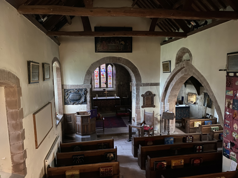
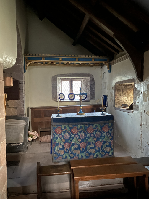
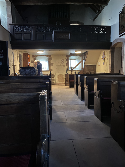
Inside the delightful Church, as seen from the upper balcony.
Some of the graves here are very old and refer back to the days when Salt was panned from the sea close to the village. The current church dates from 1130 AD but was restored back in the 1880's. [ See the link to my previous walk at the end for more detail on the church and the salt reference.]
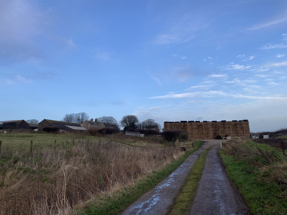
The map names this area as Hall, but I think it is more likely to be named something like West Farm. Whatever it is called, it has an impressive stack of hay bales lined up alongside the track.
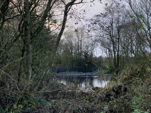
We follow the Scad Beck west now, heading home on the second half of the walk.
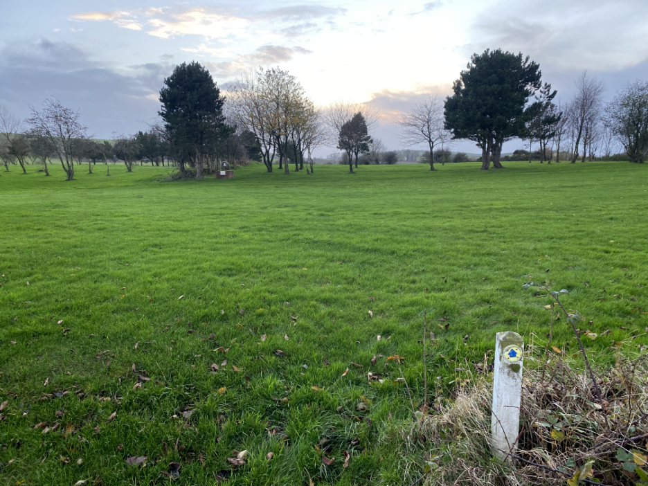
The track, after several muddy fields, brings us out on the back of the golf course. We follow the footpath signs most of the way . . .
. . . but deviate up alongside the fairway to reach the top of the slope, and obtain a view of the sea once more.
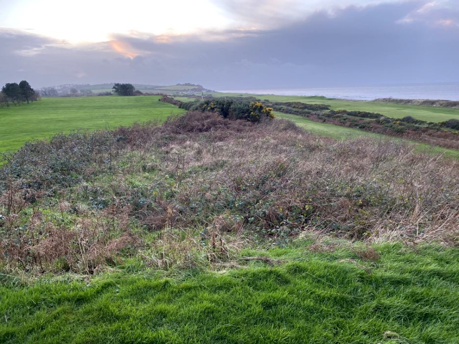
Adjacent to the top tee of the course there was a "fortlet" signposted on the map. We presume this patch of rough vegetation would be covering the foundations of the historic intermediate guard post. [ This fortlet is not to confused with the preserved foundations of 'Mile Fort 21' which is further along the hillside.]
Conveniently for the golfers and for us, was a walkway down to the lower level fairway which gave simple access back onto the coastal cycle-way that we used earlier.
At the appropriate moment we crossed the road. Our timings for the walk were good as the sun was setting, with just the smallest of colourful displays to look at as we made our way back to the car. - - - o o o - - -
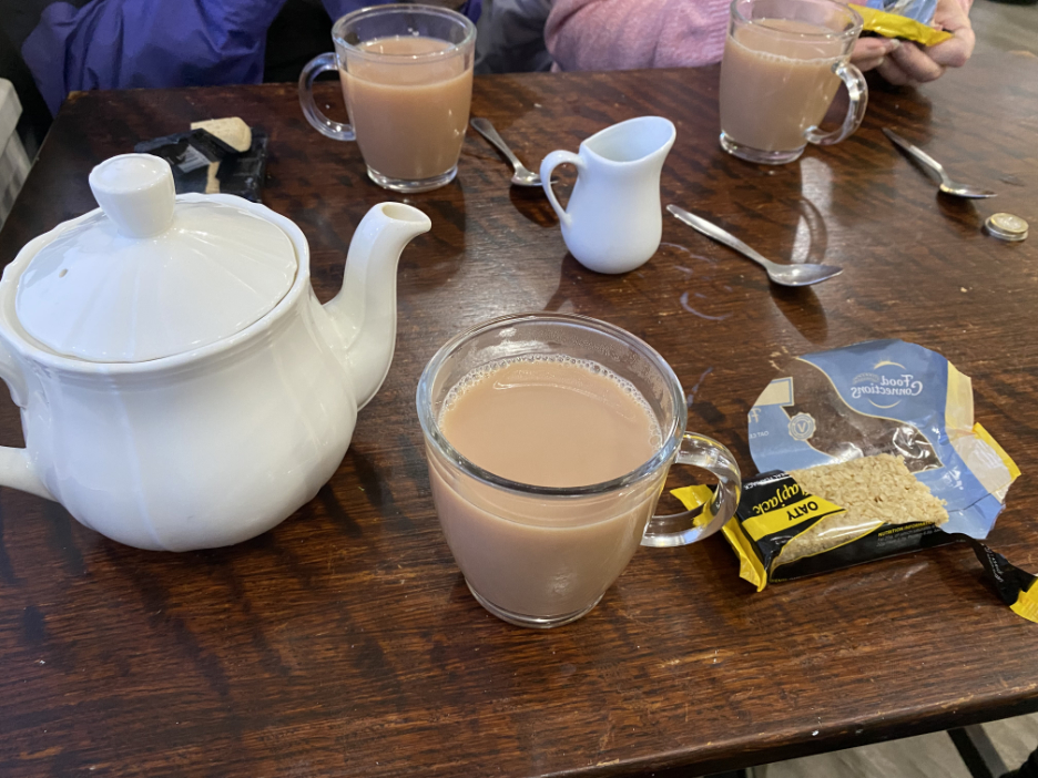
Sometimes after a walk I manage a picture of a cool pint of beer. Today we took up the invite in the Golf Club window, for non-members to call in for refreshments. This is what you call golfer's tea . . . it's like builders's tea but with a posh teapot, and just like a good golfer, this cup of tea "really hit the spot" . . . after this rather different coastal walk.
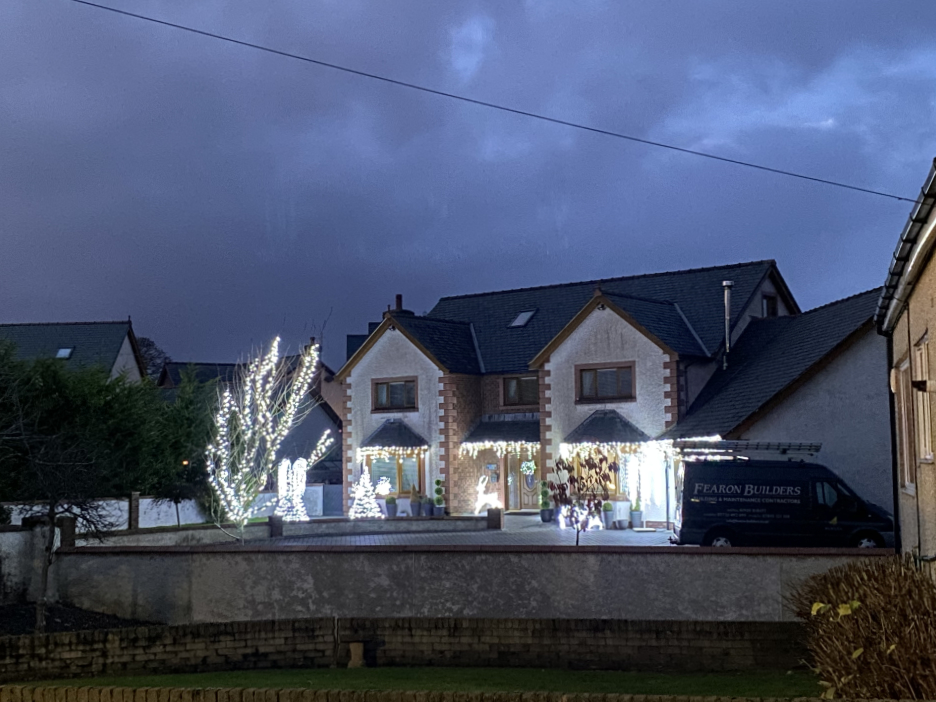
On the way home the light was fading . . . which served to emphasis an extensive Christmas display in the garden of one Maryport house close to the main road. - - - o o o - - - |


Technical note: Pictures taken with my iPhone 11pro Camera.
Resized in Photoshop, and built up on a Dreamweaver web builder.
This site best viewed with . . .
Go to Home Page . . . © RmH . . . Email me here
Previous walk - 23rd November - Ennerdale Lakeside
A previous time up here - 6th October 2016 - Crosscanonby Salt
Next walk - 4th December - The Mob Christmas Walk
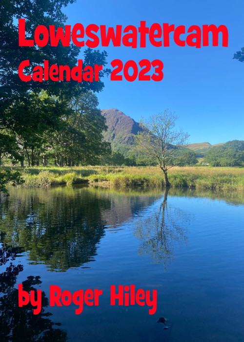 |
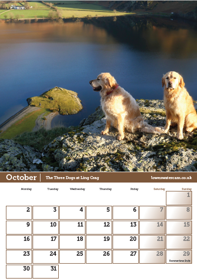
Talking of calendars . . . The last box of the 2023 Loweswatercam Calendar is now sitting open and waiting on the table for you. If you've not done so, you can still order a copy !
For the 14th annual edition of the calendar we have been looking back at the year to bring you twelve months of Loweswater pictures and Cumbrian scenes. Click here or on either picture to see the full details. £12 a copy (plus postage + packaging if required) £1 of every calendar sold goes to support the Air Ambulance and Cumbrian Mountain Rescue. |
 |