![]()

Remember: Press F11 for a full
screen view of this page.
|
|
|
Remember: Press F11 for a full
screen view of this page. |
|
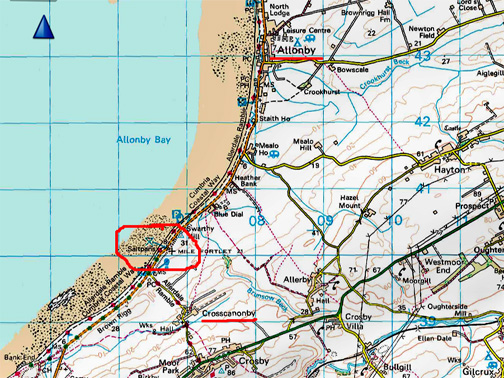
" Crosscanonby Salt " Date & start time: Thursday 6th October 2016. Location of Start : The Salt Pans at Crosscanonby, Cumbria, Uk ( NY 068 402 ) Places visited : The Salt Pans, Milecastle 41 and Allonby seafront. Walk details : Local walk on the beach and behind on Swarthy Hill. Highest point : Swarthy Hill trig point, 100ft - 31m above sea level. Walked with : Ann and our dogs, Harry and Dylan. Weather : Sunshine and blue skies. |
© Crown copyright. All rights reserved. Licence number PU 100034184. |
|
After a phone call with the author Maggie Dickinson of Cumbria Magazine, we find ourselves heading to the Allonby coastline for a walk, a photo and a slight exploration of the Solway Coast. The weather is bright and sunny and the tide is in, so everything should be looking good in the area today.
We drive north through Cockermouth, Dovenby and Maryport, then on towards the village of Crosscanonby. - - - o o o - - - Margaret published a series of articles in the Cumbria Magazine about packhorses and has used one of my pictures in the current edition of Cumbria (Nov 2016) Our discussions led from one thing to another and we discussed the subject of what sort of goods the packhorses would have carried . . . . " Salt was the most vital commodity of all and was carried as far as Penrith from the Cheshire wyches and from local Cumbrian coastal salt pans." She had a photo of the salt tax officer’s grave in Crosscanonby churchyard which had sparked her interest. " I had meant to take one of the salt pan earthworks but hadn't time. Might you have one of these ? " We hadn't been to Allonby sands for a while so perhaps today would be a good day for a photo for her . . . and for our website too.
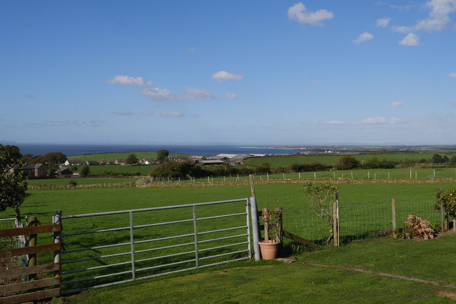
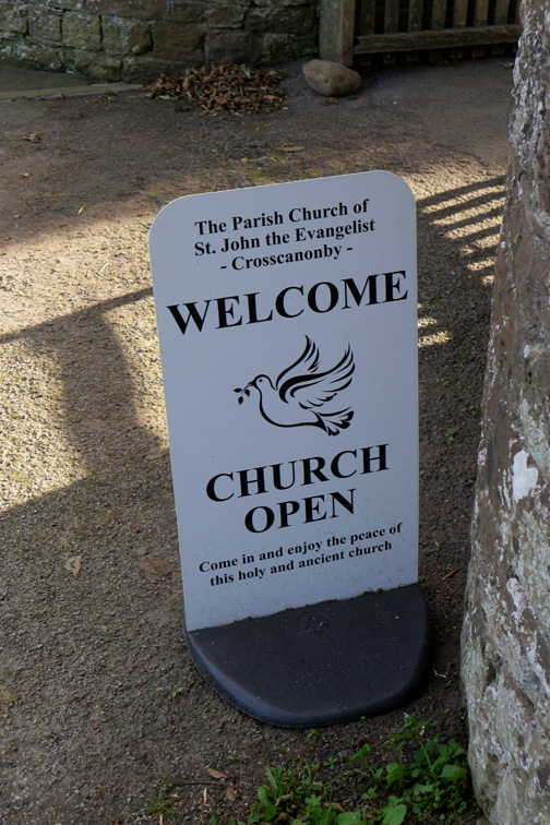
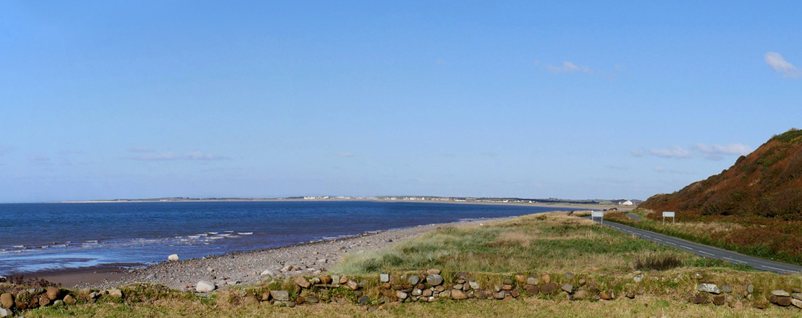
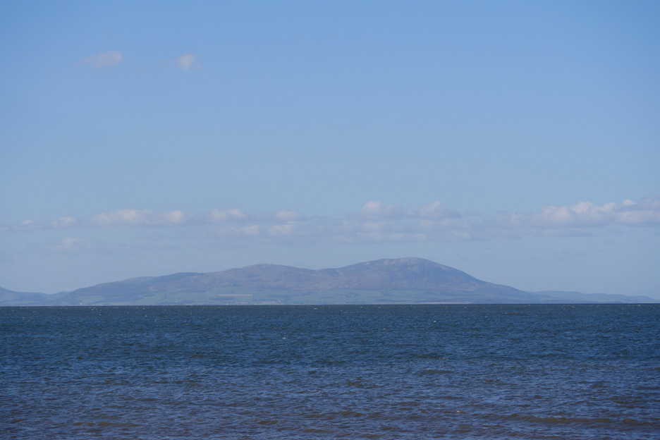
The distant summit of Criffel that we often see from our local fells is a lot closer today as we are much nearer to the Solway coast. Our first stop today will be at the church in the village ahead.
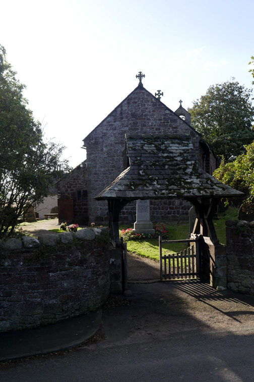
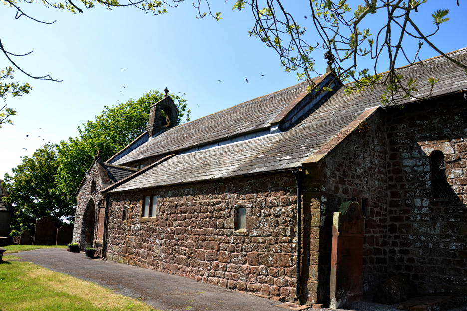
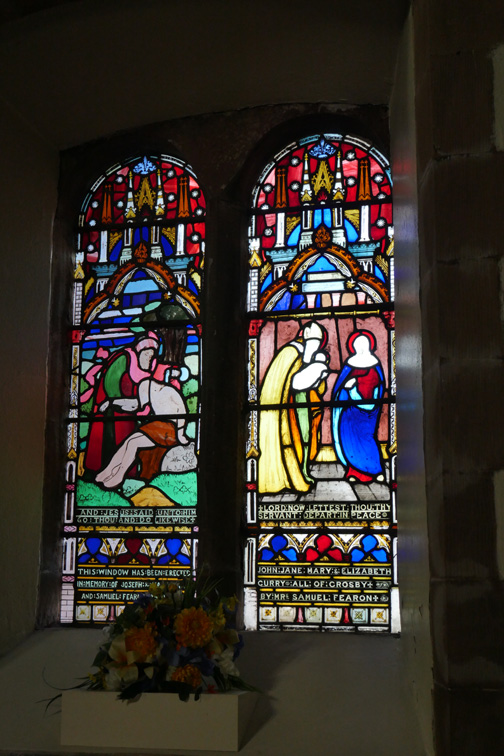
The present church dates from 1130 AD, with the south aisle added in the 13th century. The last major restoration was in 1880. A classic red sandstone building with a slate roof and bags of heritage.
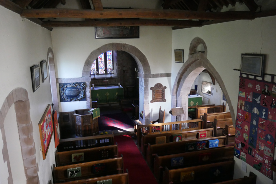
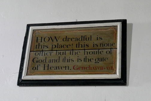
There's a gallery from which you get a good view of the inside of the church.
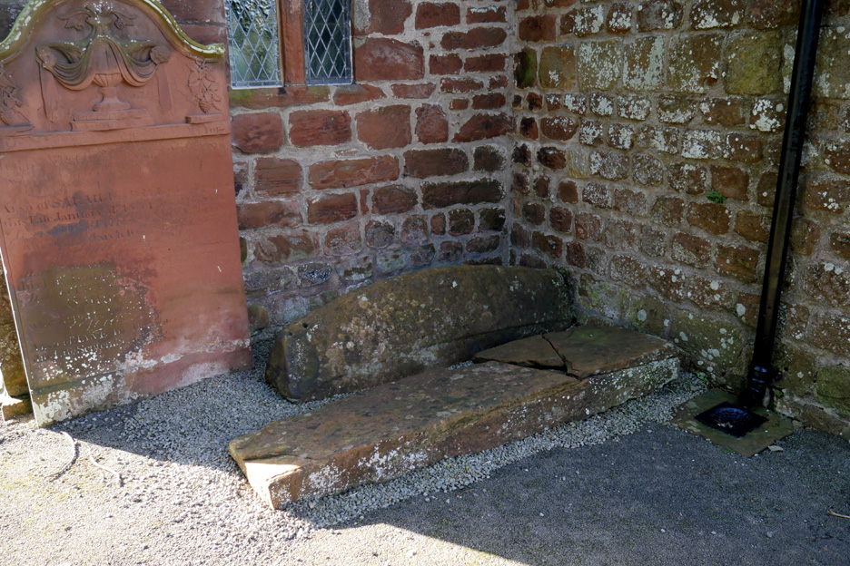
Outside the church were the Anglo-Danish hog-back tombstone mentioned in the church notes. They are over a thousand years old.
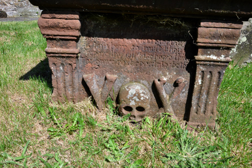
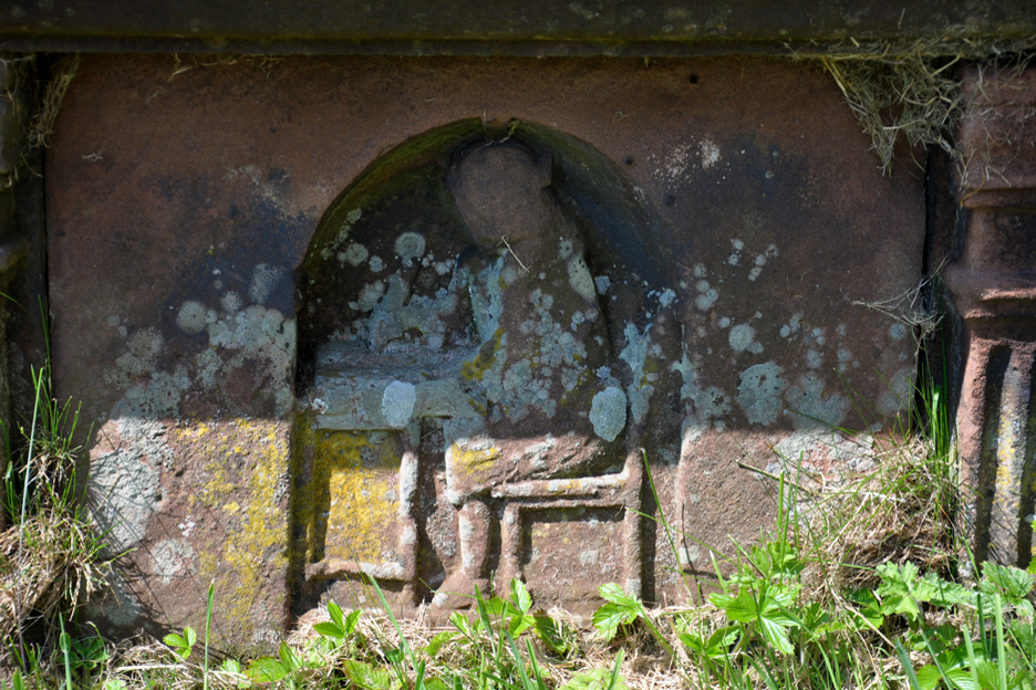
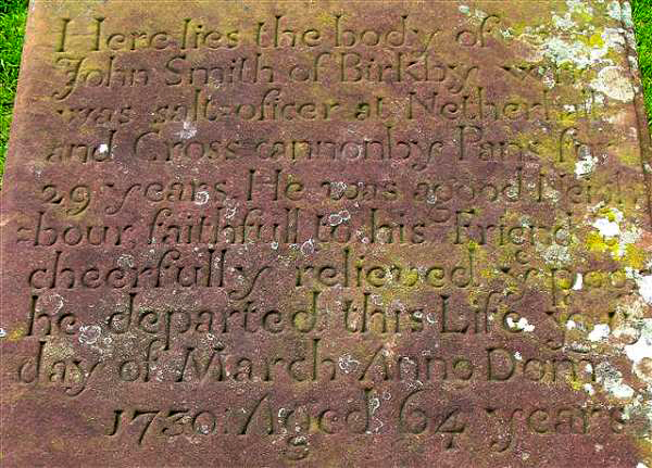
Outside in the churchyard is the grave of John Smith, a local salt tax officer, who died in 1730. His tomb includes a carving of the salt officer sitting at his desk. © Maggie B Dickinson
Perhaps we should now drive down to the coast and see the saltpans themselves . . .
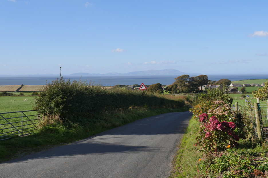
It is a beautifully clear day and the fields and colours of Criffel stand out really clearly.
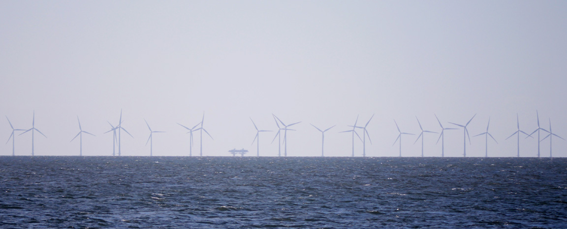
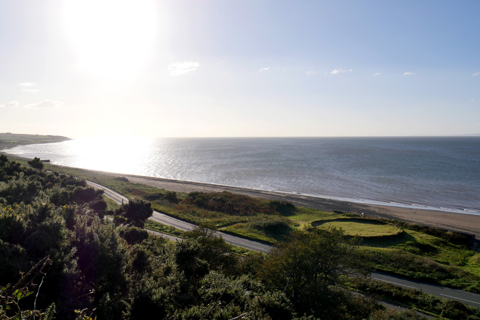
Like them or not . . . so too do the wind farms in the Solway Firth. The odd platform in the centre presumably is to do with either their construction or a sub station to connect turbines and gather the electricity before sending it ashore to the National Grid.
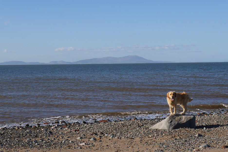
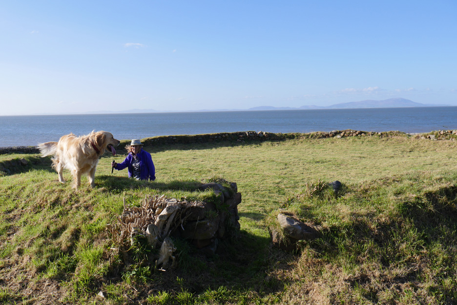
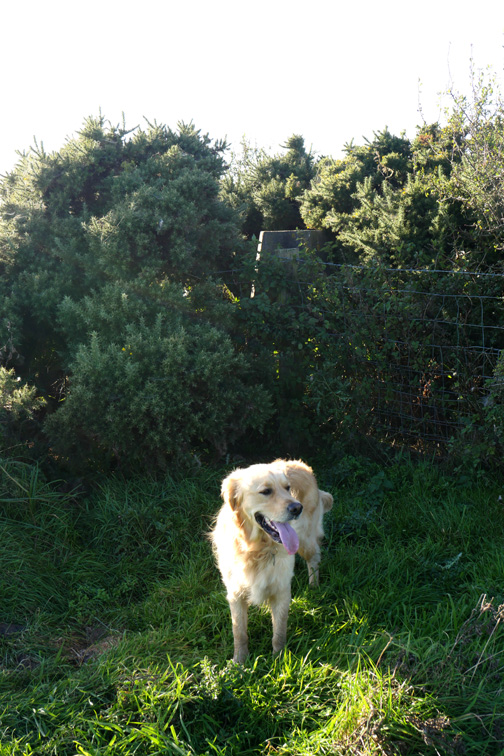
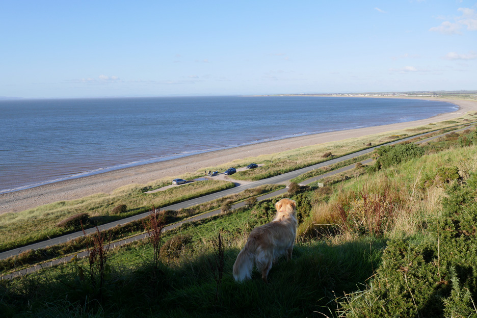
Dylan is full of beans and stands on the rock for a picture. Hold your cursor over the picture to see how long he stood still !
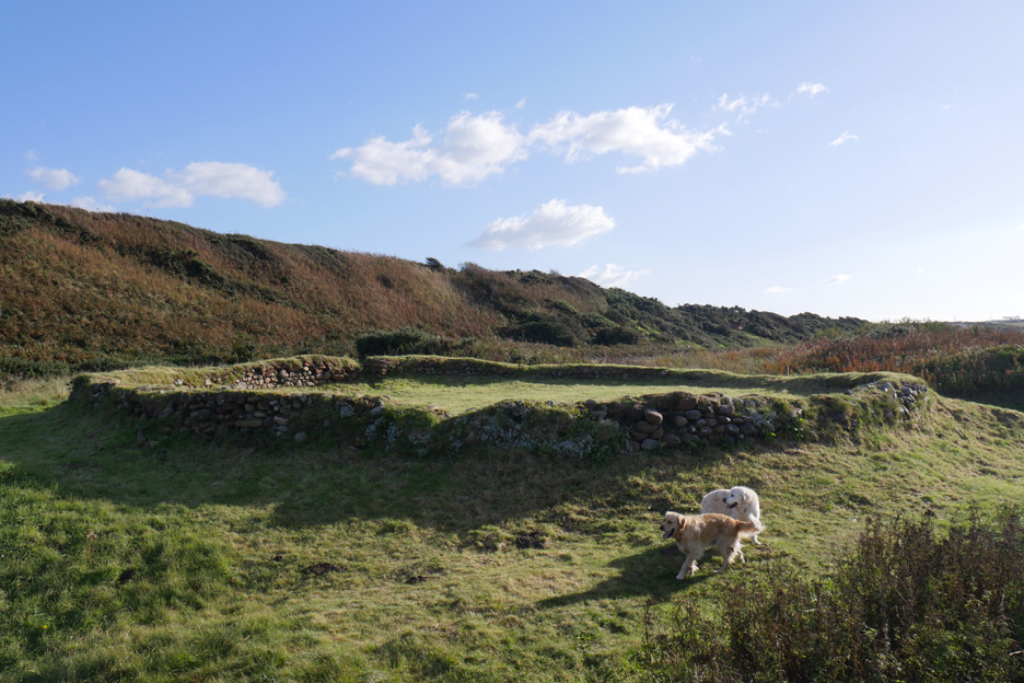
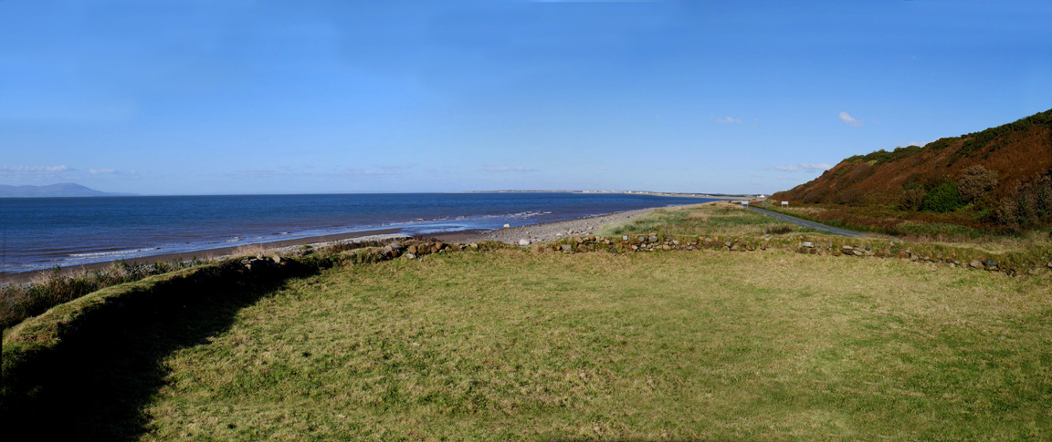
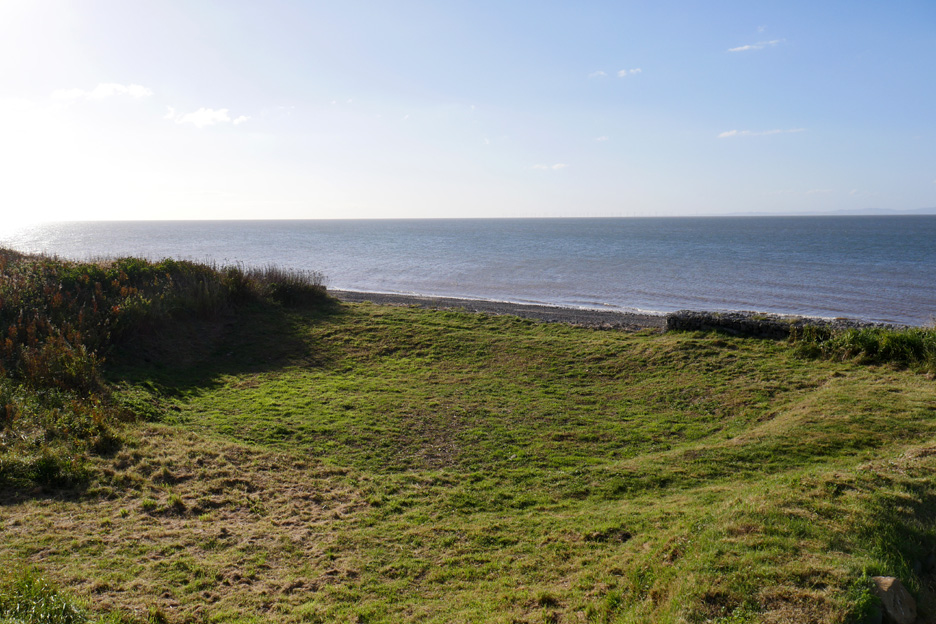
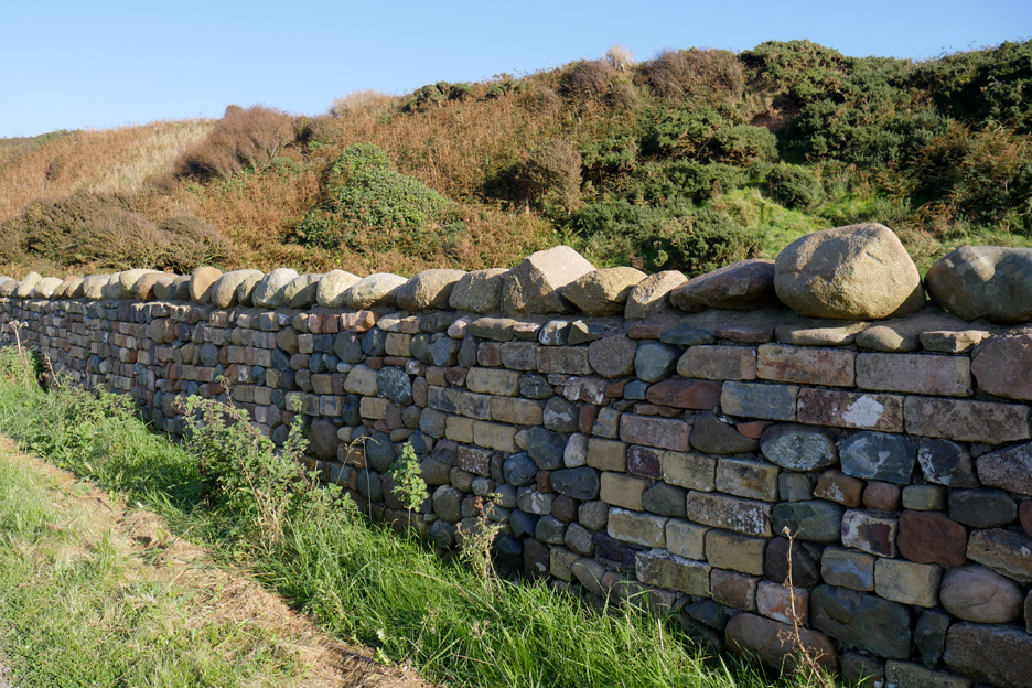
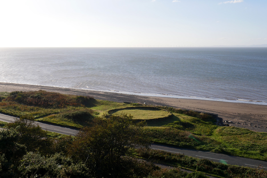
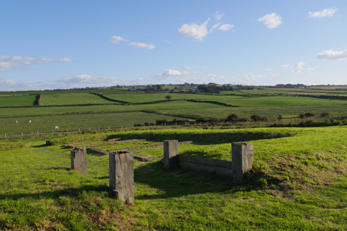
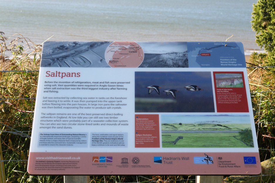
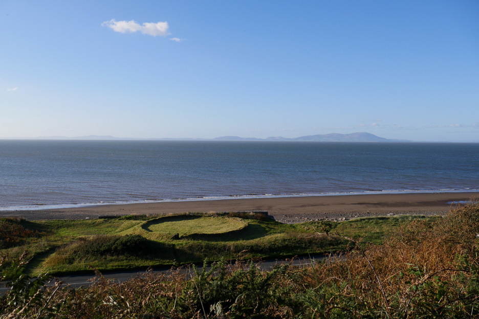
On the top of a mound, protected by a sea wall is the Elizabethan Salt pans known as the Kinch " By 1536 the religious authorities were working 21 pans stretching from Saltcotes to the Scottish Border." Salt was produced here from from sea water for nearly 700 years. The present Crosscanonby structures were built in 1634 and thought to be in production until the late 1700's.
The idea was that this clay lined "dish" was filled with seawater and salt-rich sand from the top of the foreshore. It was evaporated and partially dried in the open air, the run-off became concentrated brine which was then drained into the lower area. It was subsequently dried in boiling pans using peat and later coal as fuel. The interesting Cumbrian Industries website states: " There is a large heap of ash showing that only the poorest quality of coal must have been used as it contains such a large amount of fused material and burnt slate. The salters’ cottages and stable ( in latter years a single dwelling house ) were demolished in 1970 due to dereliction."
Ann and Dylan add scale to give you an idea how deep the settling pan would have been.
A second smaller and lower round area for converting the strong brine into dried salt. - - - o o o - - - While we were here I tried to explore the Roman Milefort on the top of the gorse and scrub covered Swarthy Hill.
Rumours of steps up to the summit were just that, as this new wall effectively blocked direct access to the hill top.
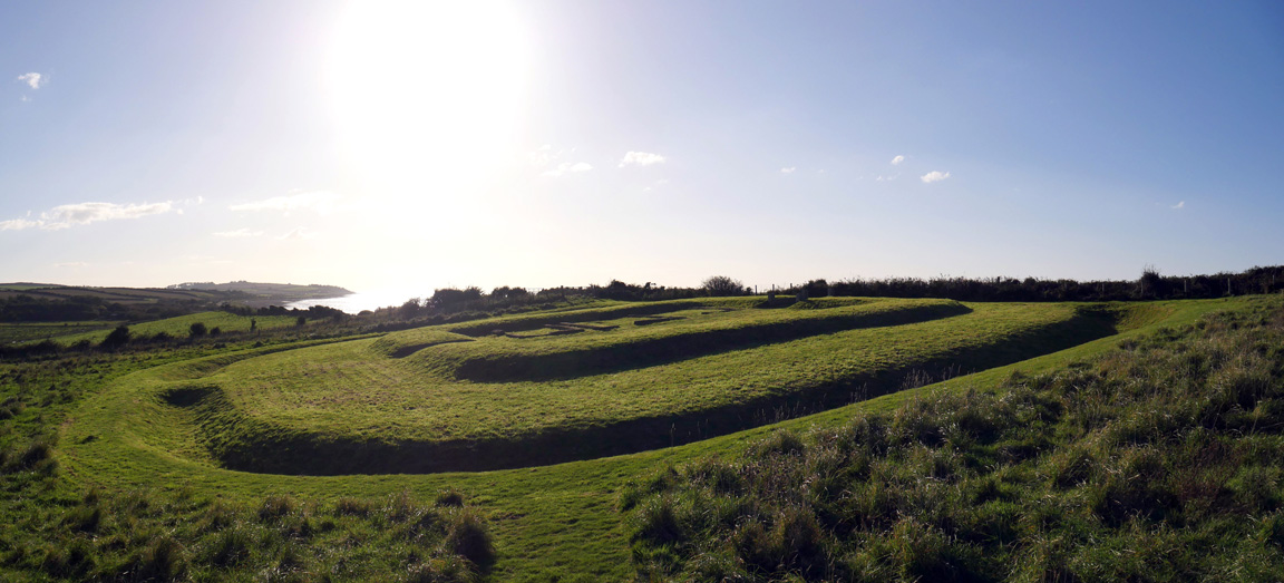
There's a better view of the salt pan site from up here . . .
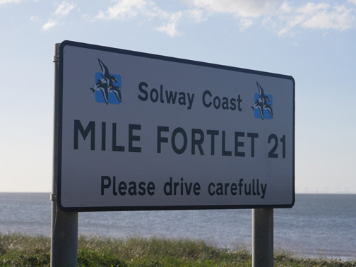
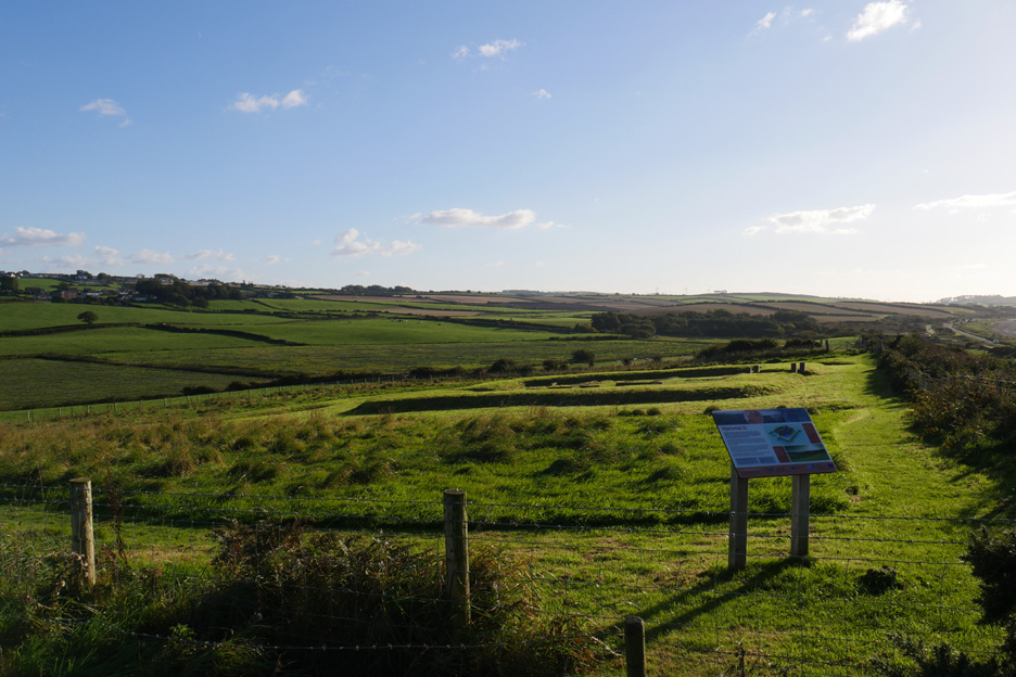
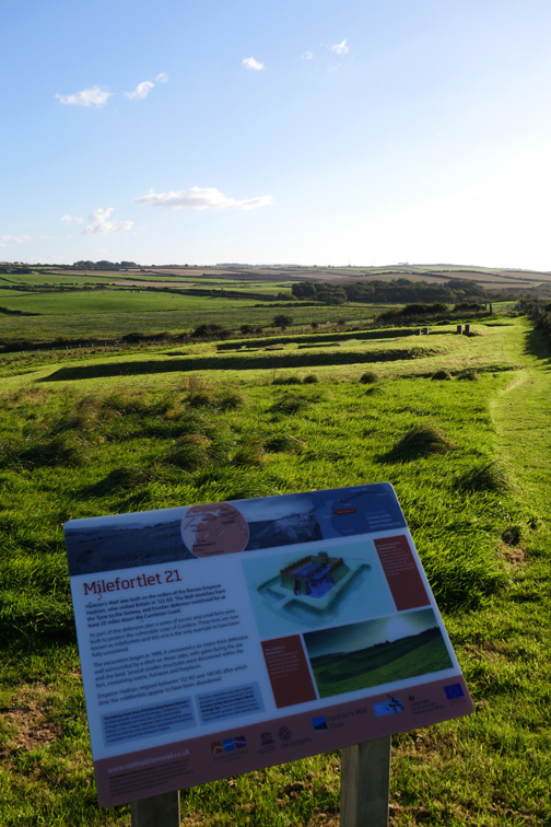
. . . but the purpose of the climb was to find the Roman remains. This mile fort has the distinction of being the first totally excavated milefortlet, and is now a designated World Heritage Site. It revealed a wealth of information about the lifestyle of Roman troops in Britain.
The wider view of the fortlet and the defensive moat surrounding it.
From here too is the best view down of the salt pans. Surprisingly the interesting signage up here was totally missing from the coastal site below.
A last look down before I make my way back.
If you want to visit the fortlet, access is presumably better from the south where there is a parking place opposite the Crosscanonby road end.
Now for Dylan and I to find our way back down there !
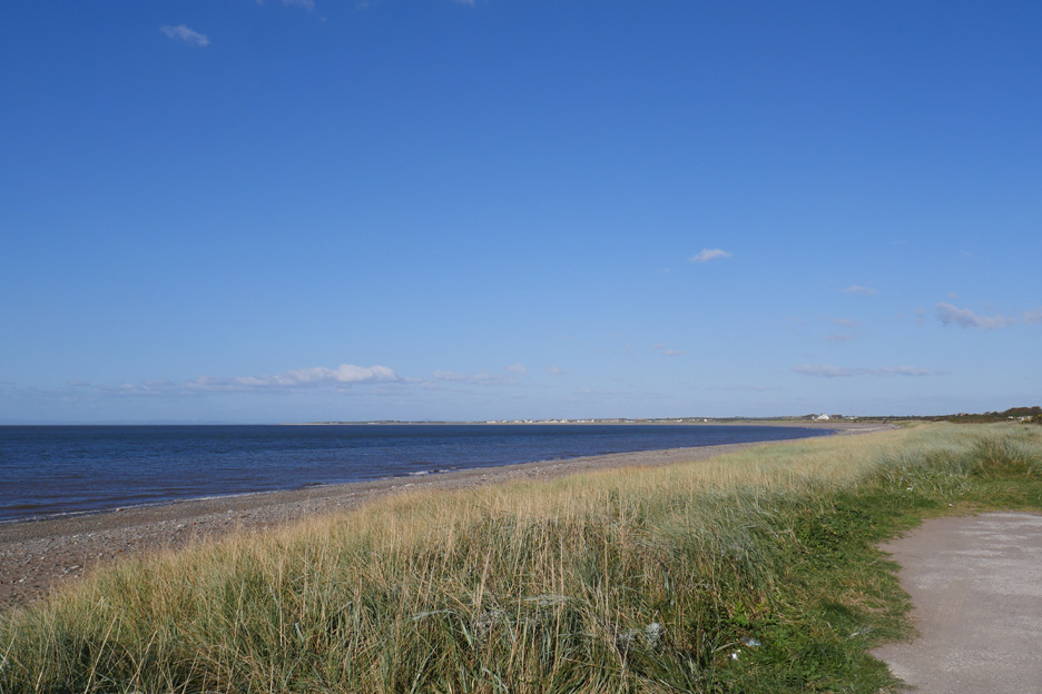
Ann and Harry in the mean time had a short walk along the beach, then we headed off in the car to the distant houses at Allonby.
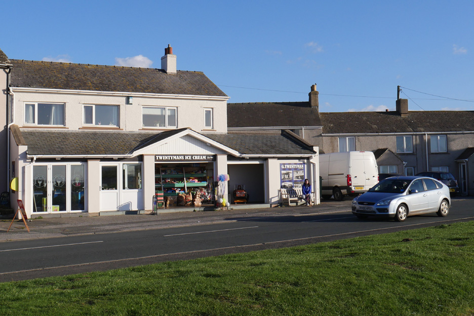
. . . in search of classic refreshment from Twentyman's Ice Cream Shop.
Just the drive home now at the end of our afternoon . . .
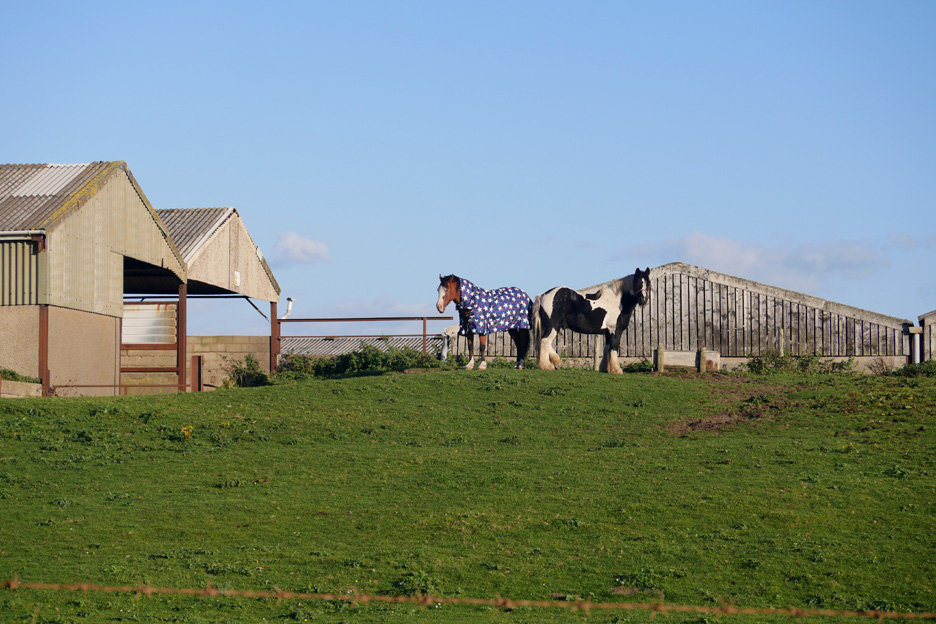
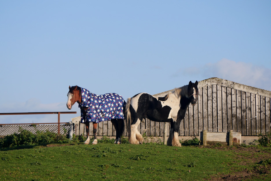
. . . passing these rather delightful looking horses at Mealo House Farm along the way. - - - o o o - - - For those wanting further information, several of theses photos have been incorporated in Maggie Dickinson's feature article in the Febuary 2017 Edition of The Cumbria Magazine - - - o o o - - - |
Technical note: Pictures taken with either Ann's new Panasonic Lumix TZ60, or my Panasonic Lumix Gx8a Compact System Camera. Resized in Photoshop, and built up on a Dreamweaver web builder. This site best viewed with . . . a fine ice cream from Twentyman's on the way home. Go to Top . . . © RmH . . . Email me here Previous walk - 29th September 2016 - First Walks now we are Home A previous time up here - 12th December 2010 Allonby Sunset Next walk - 8th Octobber 2016 - Picawassa and a Sunset
|