![]()

Remember: Press F11 for a full
screen view of this page.
|
|
|
Remember: Press F11 for a full
screen view of this page. |
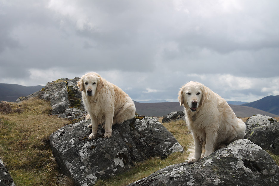
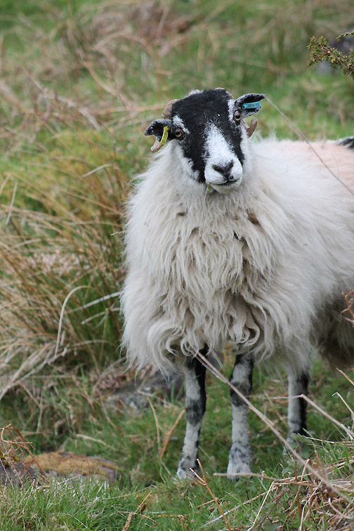
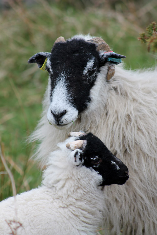
| " Carrock Fell and Lingy Hut " Date & start time: Thursday 23rd May 20123, 11 am start. Location of Start : Apronful of Stones near Mungrisdale, Cumbria, Uk ( NY 353 338 ) Places visited : Carrock Fell, Cumbrian Way, Lingy Hut, Mosedale back to the second car. Walk details : 5.75 mls, 1650 ft of ascent, 5 hours 45 mins. Highest point : Carrock Fell 2,165ft - 661m Walked with : Jill, Nigel, Ann and the dogs, Harry and Bethan. Weather : Sunshine, cloud, hail, snow, rain, back to sunshine again. |
" Carrock Fell and Lingy Hut " at EveryTrail [ Alter the settings to zoom or change the Map, use Everytrail to download the Gps route ] |
|
Jill and Nigel are up in the Lakes on holiday from Kent. They had walked the grassier 'Back o'Skiddaw' fells yesterday and were intrigued by the prospect of walking the one fell in that area that was different in geology . . . it had rocks !
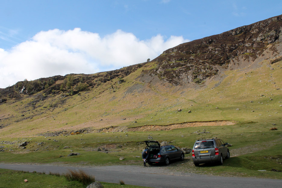
An 11 am start found us parking a car towards the top of Mosedale near Mungrisdale and then driving around to this spot below Carrock Fell in the second car to start the walk.
The weather is fine though the forecast talks of blustery showers, possibly wintery over the Pennines but we're not on the Pennines so that won't be a problem !
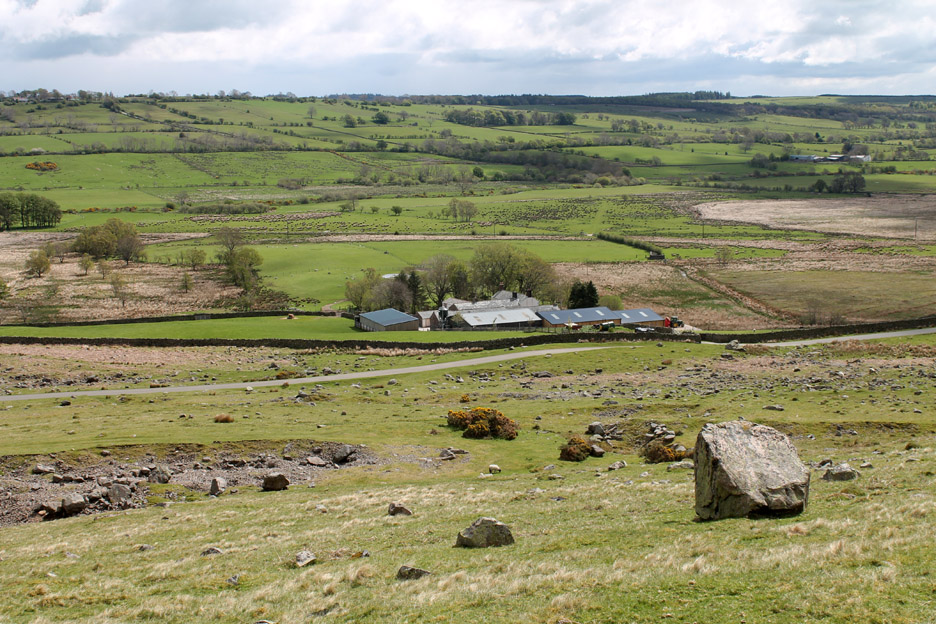
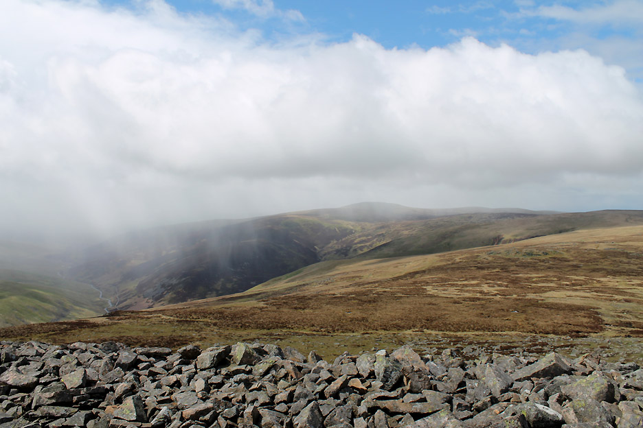
Looking down over the "Apronful of Stones" to Stone Ends Farm. Greystoke Forest and Berrier Hill make up the higher ground beyond.
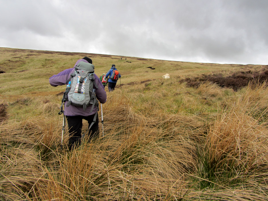
The walk starts with a big and instant climb . . . no time to get warmed up on this one.
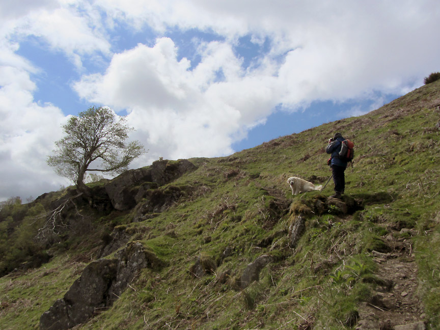
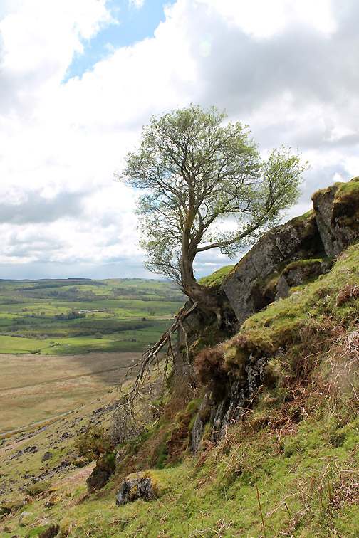
Two thirds of the way up is a rather fine Rowan clinging to the fellside. Bethan surveys the view from alongside it. It seems one of the branches didn't survive the winter storms and lies forlorn from the base of the trunk.
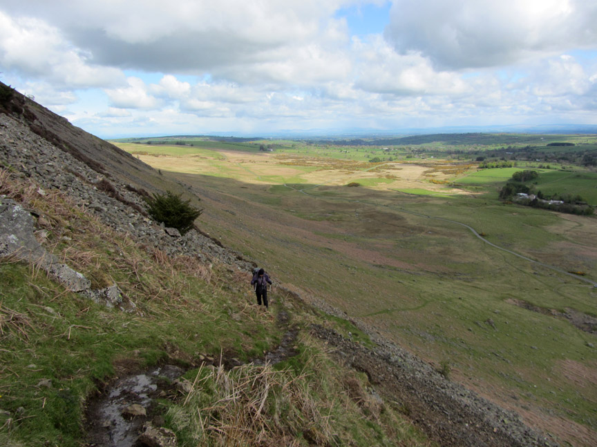
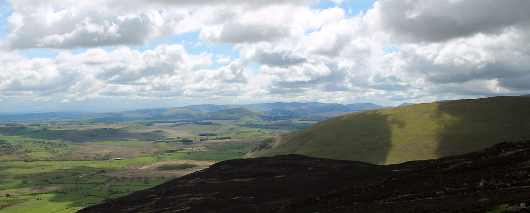
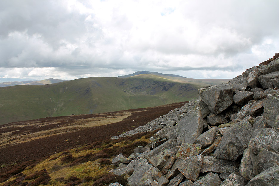
The advantage of a steep climb is that you quickly reach a fine viewpoint where you can stop and look around. This is the view south over Great Mell Fell in the centre and across to the High Street range in the background.
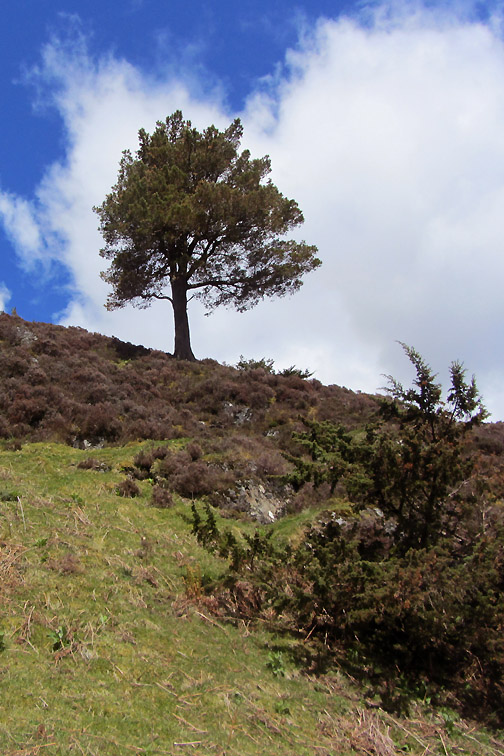
The path continues up at an easier angle and passes an old sheepfold.
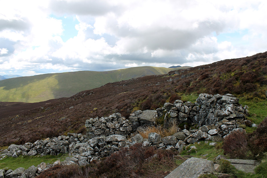
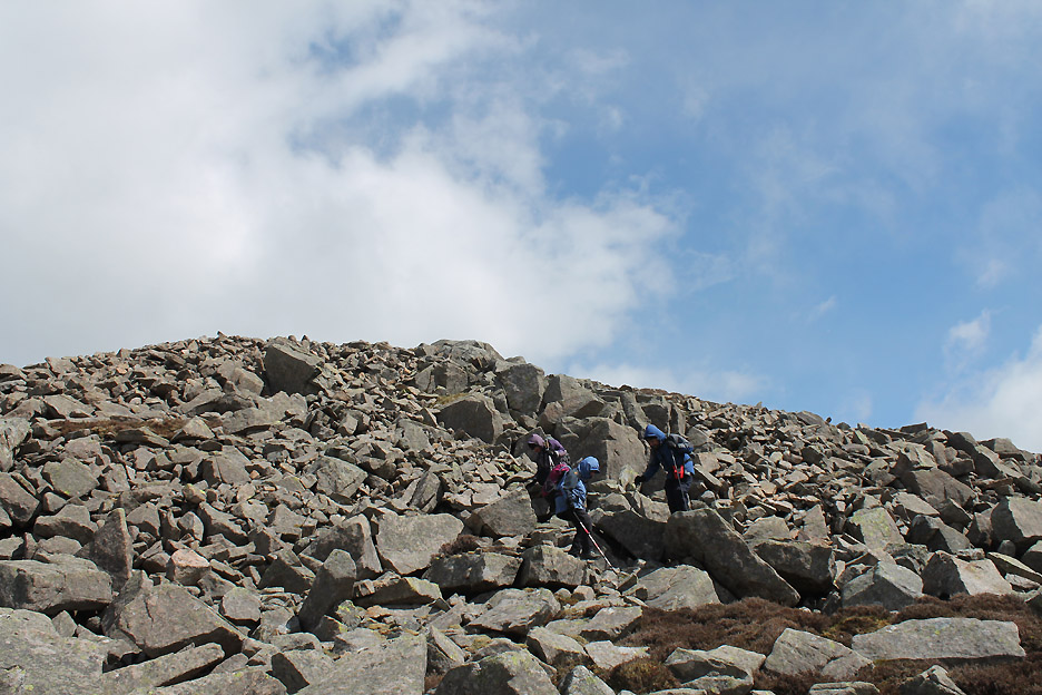
Before the final ascent the route enters a rocky section It is not particularly easy to see at this point, but many of the rocks and stones had in medieval times been moved and built into a stockade wall. The top of Carrock Fell has an ancient hill fort surrounding the summit and a perimeter wall can be identified especially from the aerial view shown on things like Memory Map and Google.
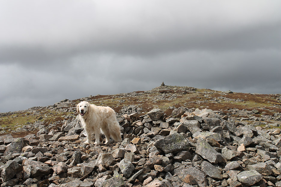
From a deep round shelter a dog emerges . . . it's okay . . . it's Bethan.
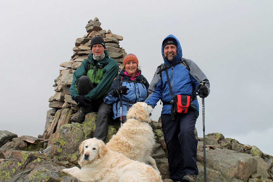
It's May . . . it should be summer . . . we shouldn't be wearing hats, gloves, buffs and thick coats to keep warm ! The sky behind tells the truth behind the weather . . . we were sheltering on the leeward side of the cairn for the photo and shortly after it hailed and snowed, yes snowed, and we are 20 miles from the Pennines !
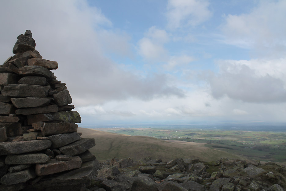
Still, there's hope in the air as the wintery shower moves away and the sunny view of the Solway plain returns.
Knott Fell also emerges from obscurity now the shower has moved on.
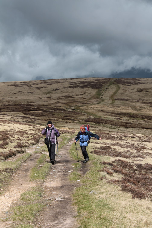
My three companions chose to sample the rocky descent from the summit. Me, I just took the normal path and then had to go back and find out where they were and why they were taking so long !
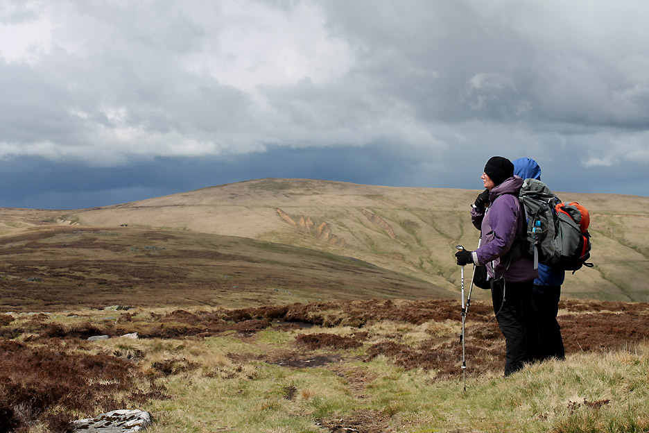
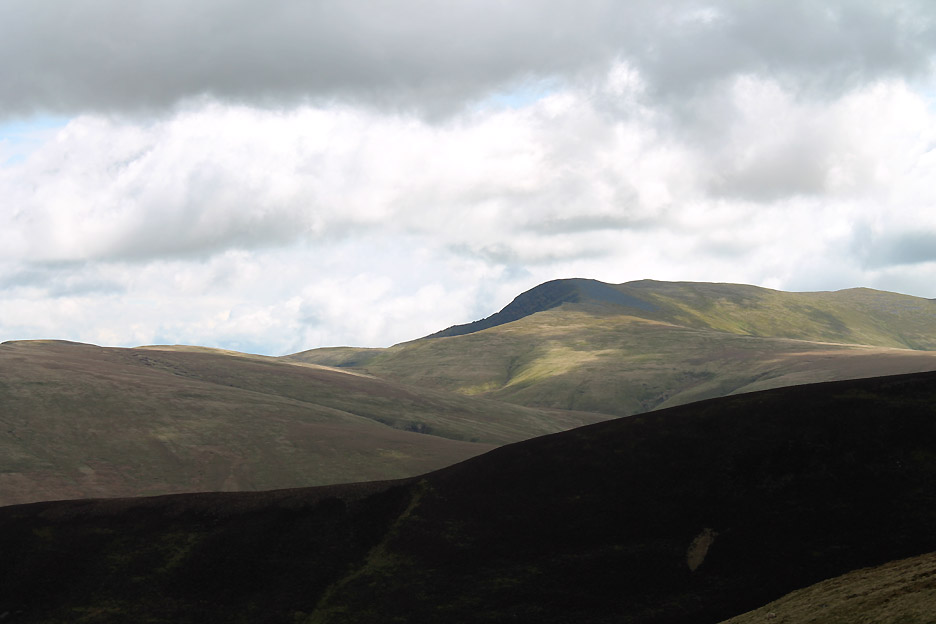
Back on track . . . Jill and Nigel survey the scene ahead. The summit ahead is High Pike, but today we'll give it a miss, heading left out of the picture towards other objectives.
Descending along the ridge from Carrock Fell.
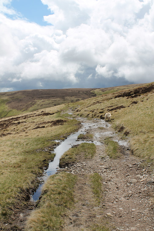
Miton Hill rocks . . . one of two small summit on the way across to the Cumbrian Way path. The other was Round Knott but we passed on that, choosing to stick to the main path through the boggy areas.
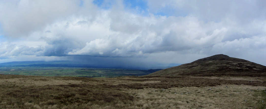
Another belter of a shower appears to be rushing down the Eden Valley . . . passing us by fortunately.
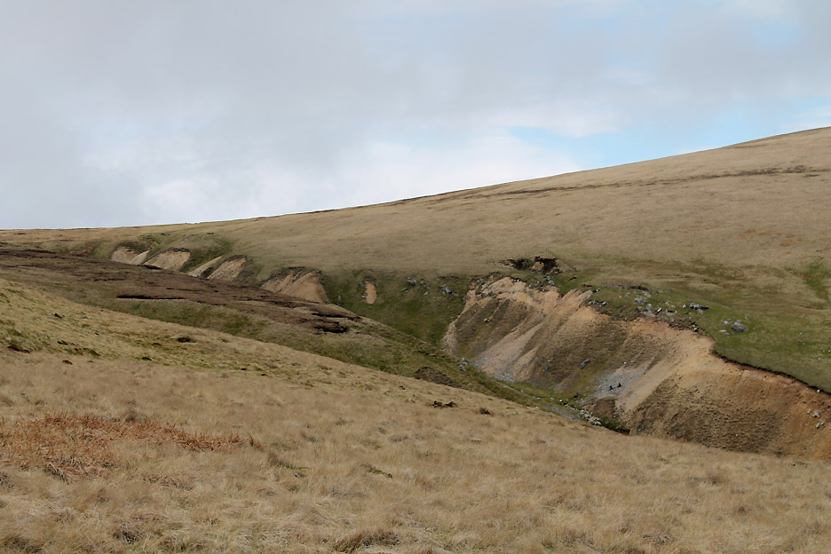
I divert slightly to see the view across to the site of the old Carrock Fell Mines in the far river gully . . .
. . . and the view of Dry Gill . . . which also shows signs of a past industrial life.
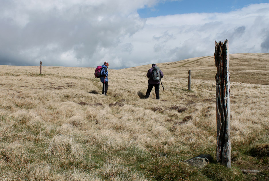
I catch up with the other by these old posts . . . I presume they were part of an old wire fence sheepfold. Do you think the girls will turn around for me . . . hold your cursor over the picture to see if they would oblige.
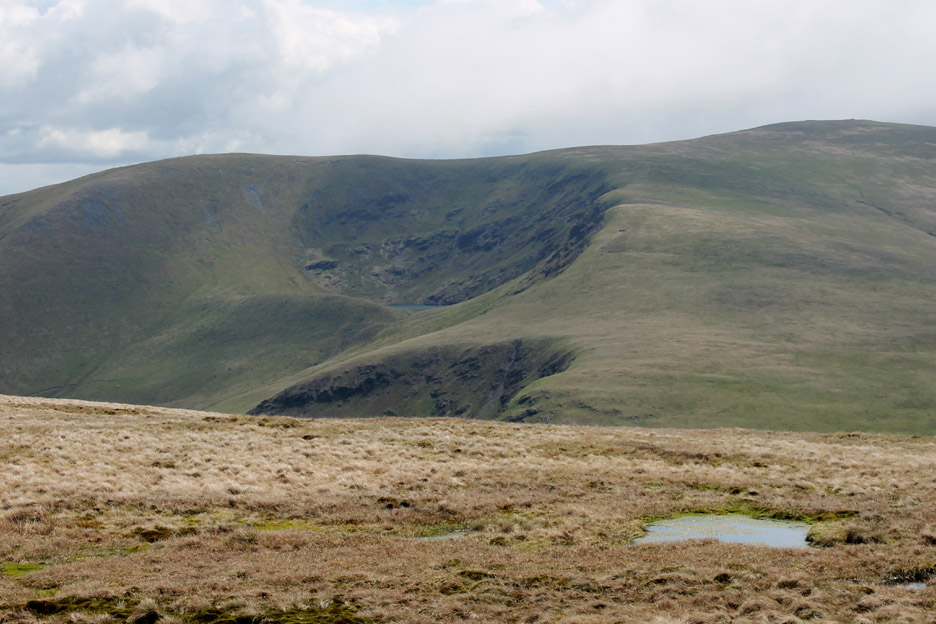
Moving on . . . we get a brief glimpse of Bowscale Tarn nestling across there in the corrie below Bowscale summit.
The head of Brandy Gill looking across to Bowscale and cloud covered Bannerdale.
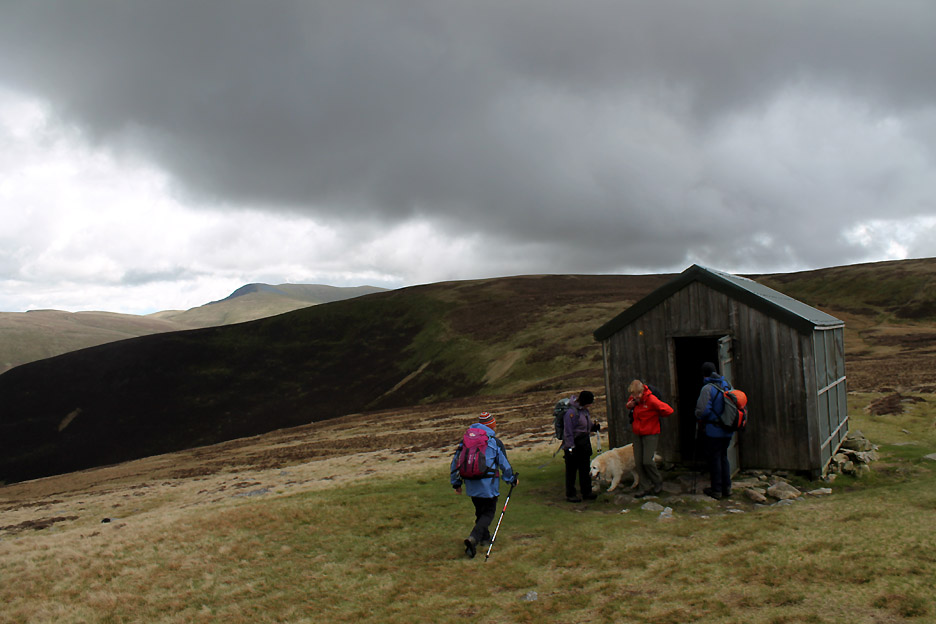
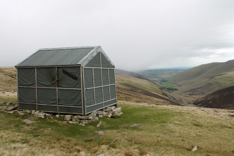
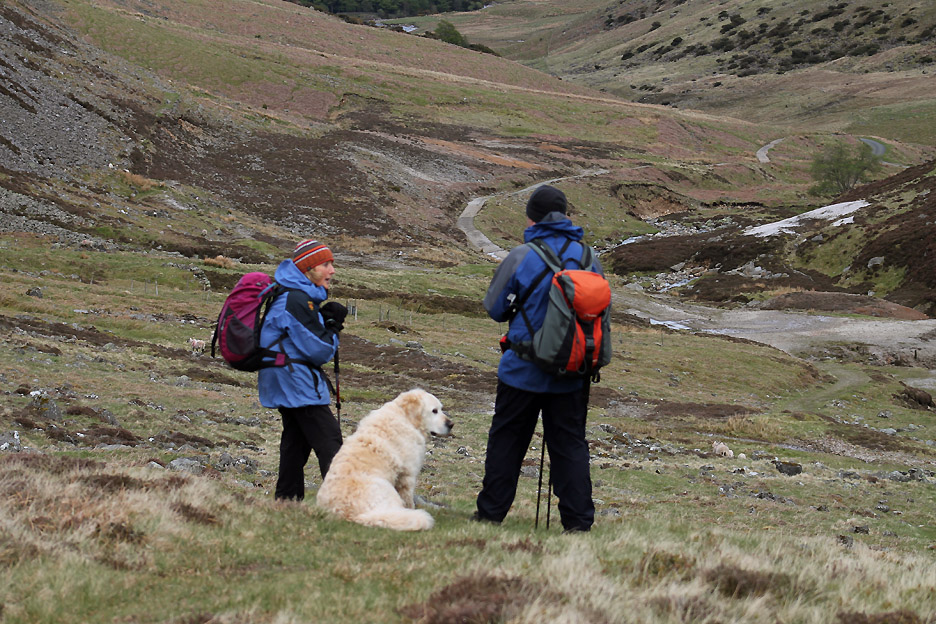
Our next objective . . . Lingy Hut for lunch. From a distance it looks a little like a large rock . . . but now it has square edges and a door so it probably isn't.
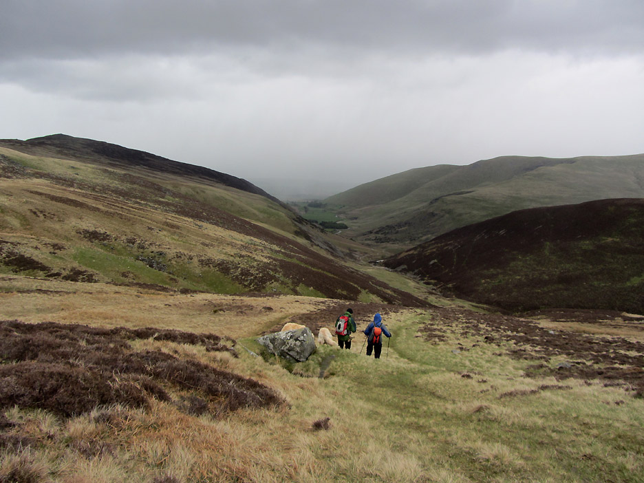
The direct route was not advantageous so we struck uphill slightly, heading for the path where the two distant walkers can be seen. Even this was a little hard going at times . . . not a well used short-cut as noted from the lack of even a basic sheep track.
The views across to Blencathra and brooding Sharp Edge were really clear.
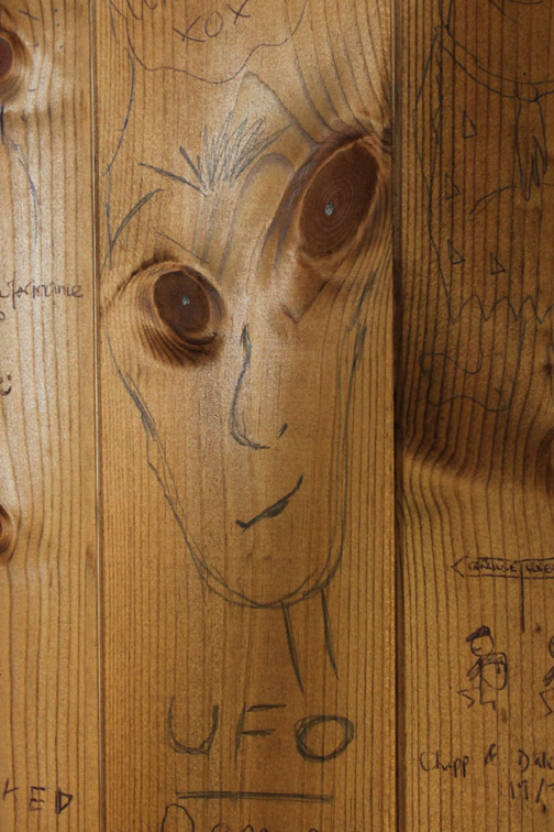
Lingy hut is not named, even on the 1:25k map but the sheepfold next to it is so I divert up the slope for better look and a photo or two.
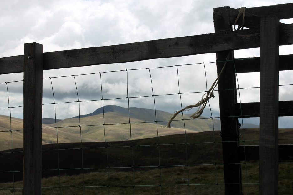
Blencathra through the wire fencing . . . the wind blowing the bailer twine sideways in the strong breeze.
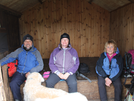
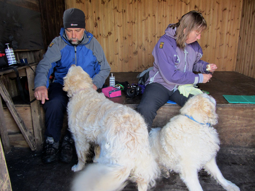
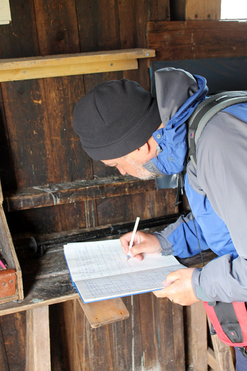
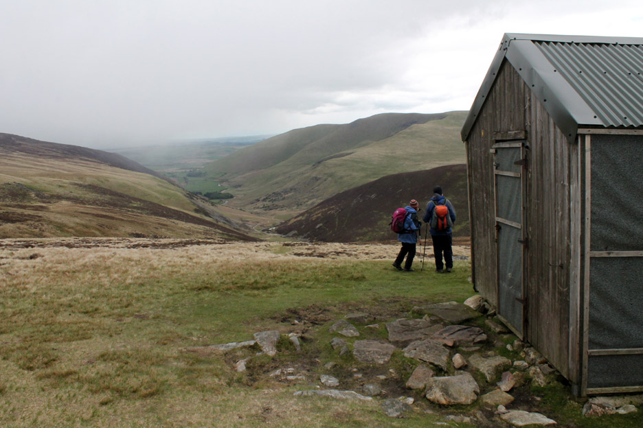
As we arrive for a spot of late lunch just as the previous occupants were just leaving.
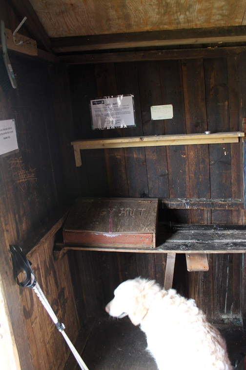
However it was out of the wind and a great place for lunch, even an overnight stay if you brought all your own gear. Now dogs . . . this is our lunch not yours !
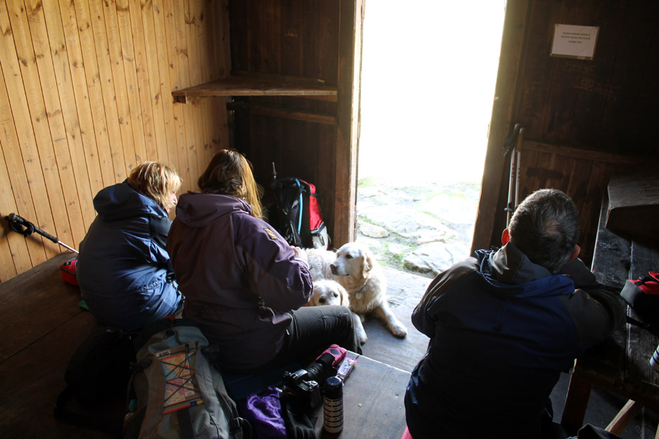
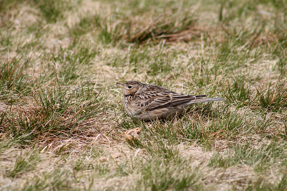
Looking out now that lunch is over. Nigel was intently studying a patch of grass outside . . .
Well camouflaged against the grass was a bold Meadow Pipet. I think it was waiting for lunch . . . had we seen him earlier we may well have kept him a bit of our sandwiches. Presumably the hut is a good bet for food, especially around the middle of the day.
Time to be going . . . where's Ann ? Hold your cursor over the picture to find out where she is !
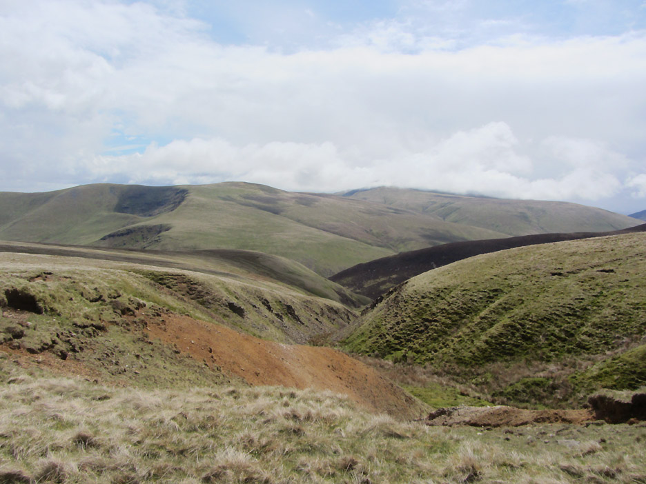
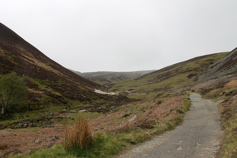
All ready . . . it is time to be heading down the Graingill Beck valley seen below.
Another squally shower passes down the Eden Valley ahead. The summit of Carrock is still clear and dry . . . so hopefully we will be too.
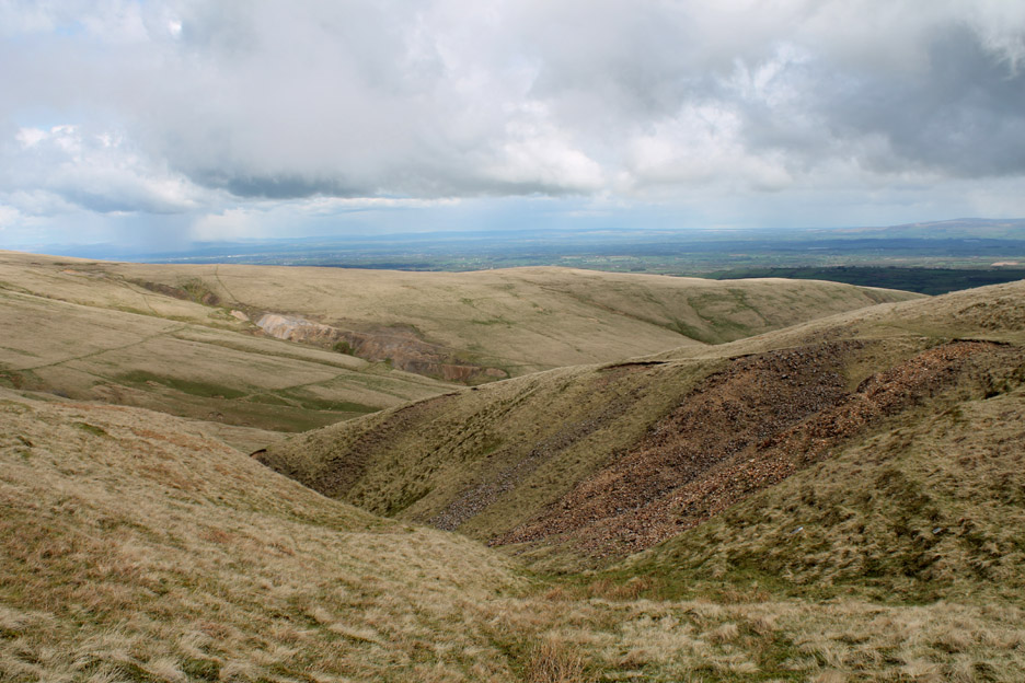
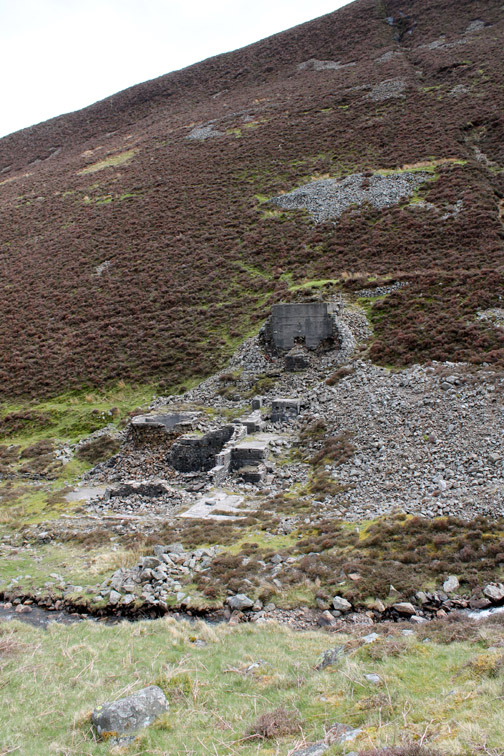
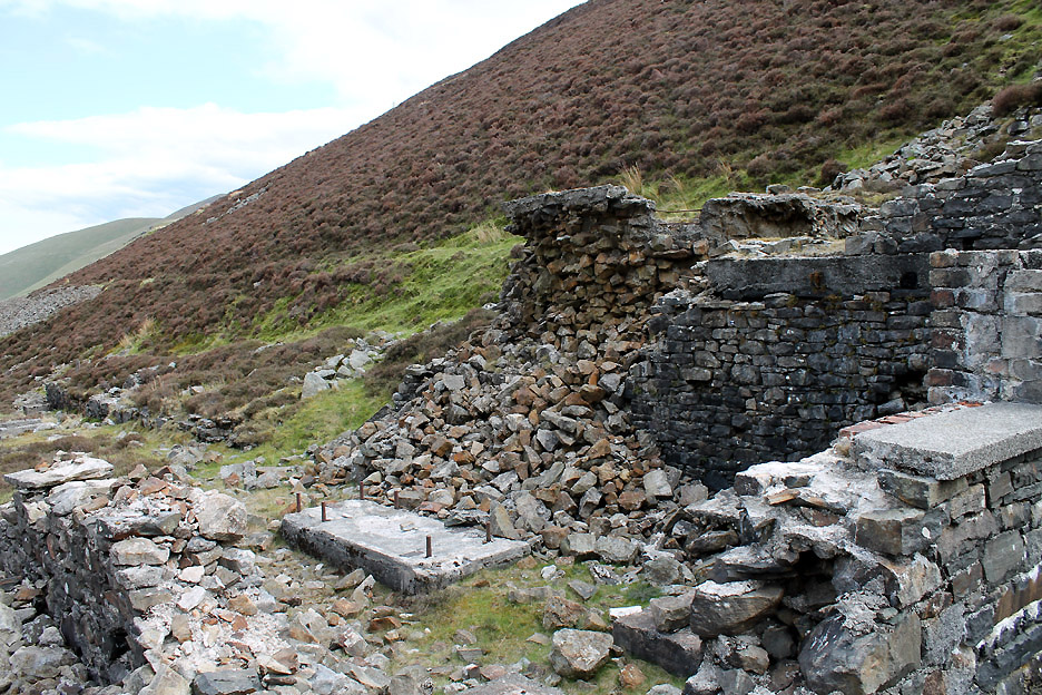
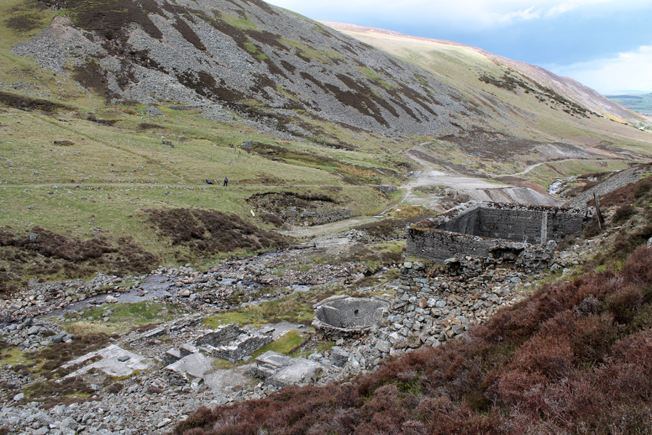
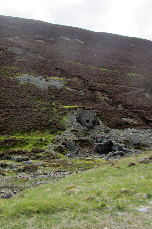
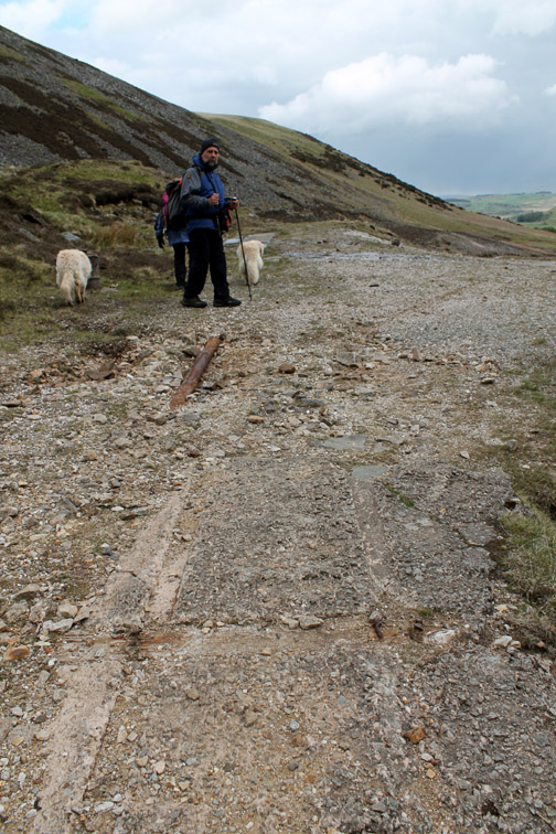
Down below is another old mining area . . . the mine road into the valley being our eventual route out.
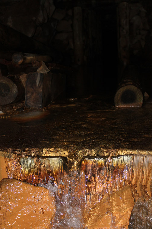
Machinery footings and an unusual circular bowl-like hopper for ore.
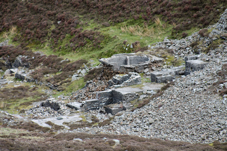
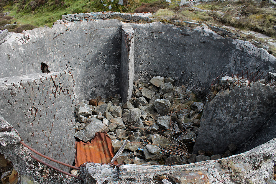
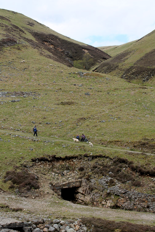
I cross the valley for as closer look.
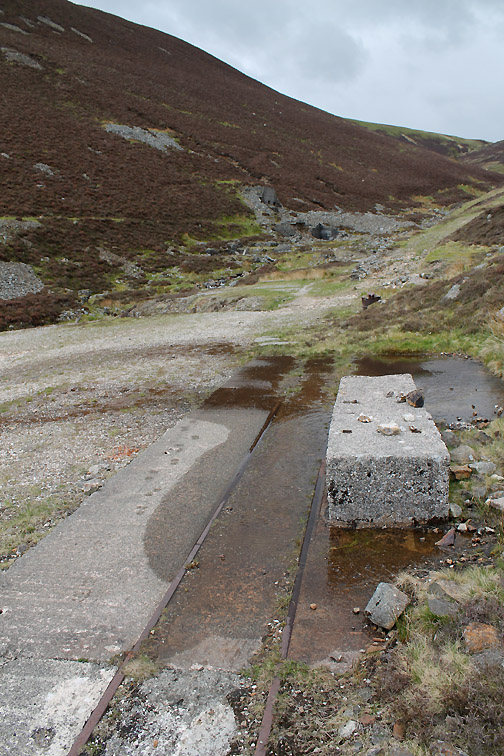
A round hopper with three vanes and an exit hole bottom left (now choked with debris).
Looking out from the top hopper from what turns out to be an old mineral railway track.
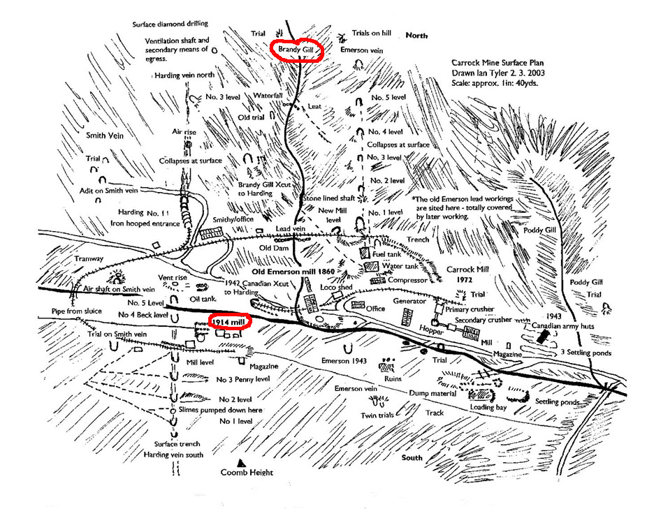
I can recommend Ian Tyler's book The Lakes and Cumbria Mines Guide as a great reference book The mine map is his.
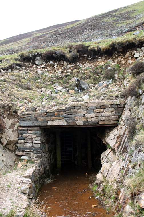
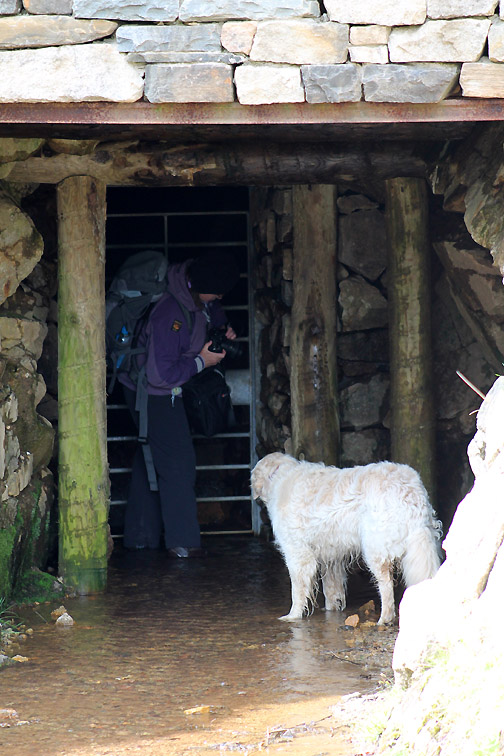
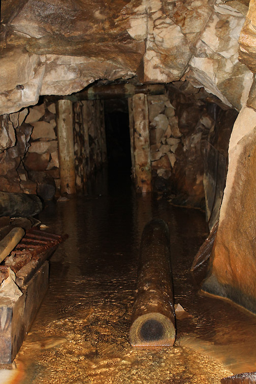
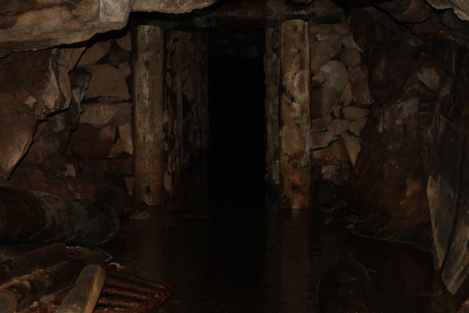
I tried for a telephoto view down the tunnel but to no effect.
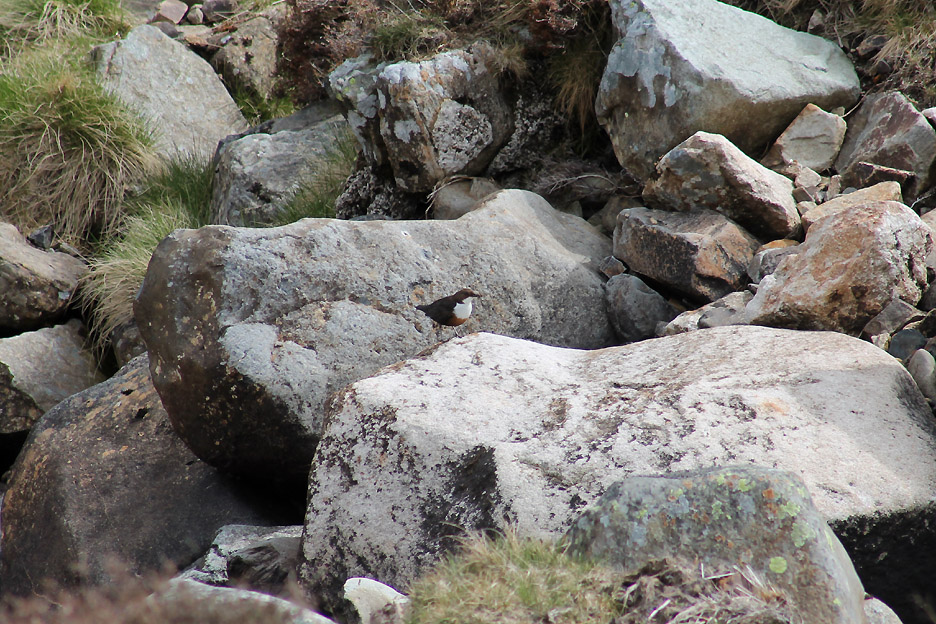
As we left a Dipper was flying up and down the stream and even ventured into the mine entrance. Thinking about it, it would make a good place for a nest.
The mines finally closed to production as recently as 1982, due to falling world prices for the ores.
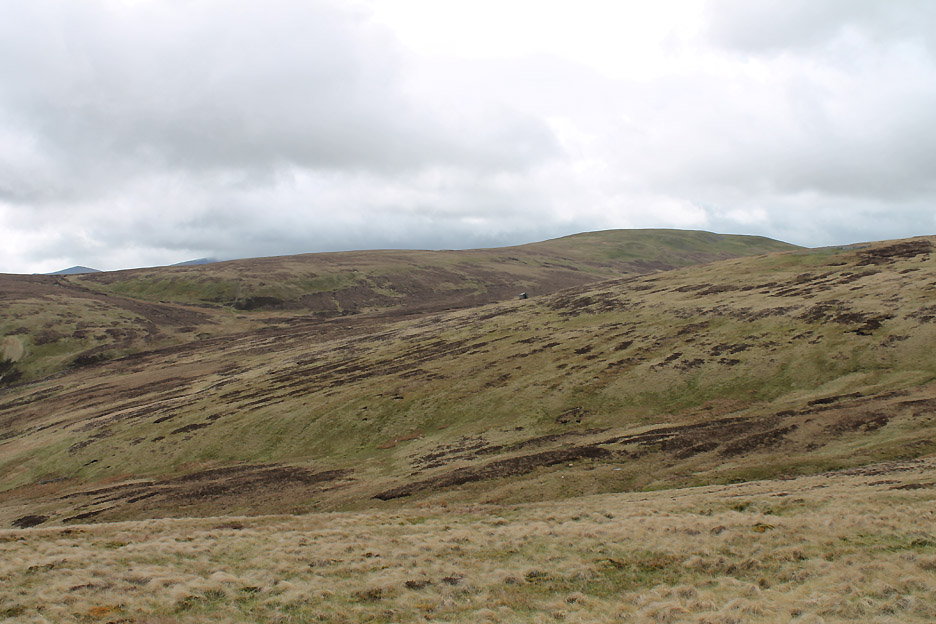
We leave the mines to their now quiet valley. In their heyday it must have been a busy place. As we walk down the road we can just see the Lingy Hut, our lunch spot, high on the skyline behind us.
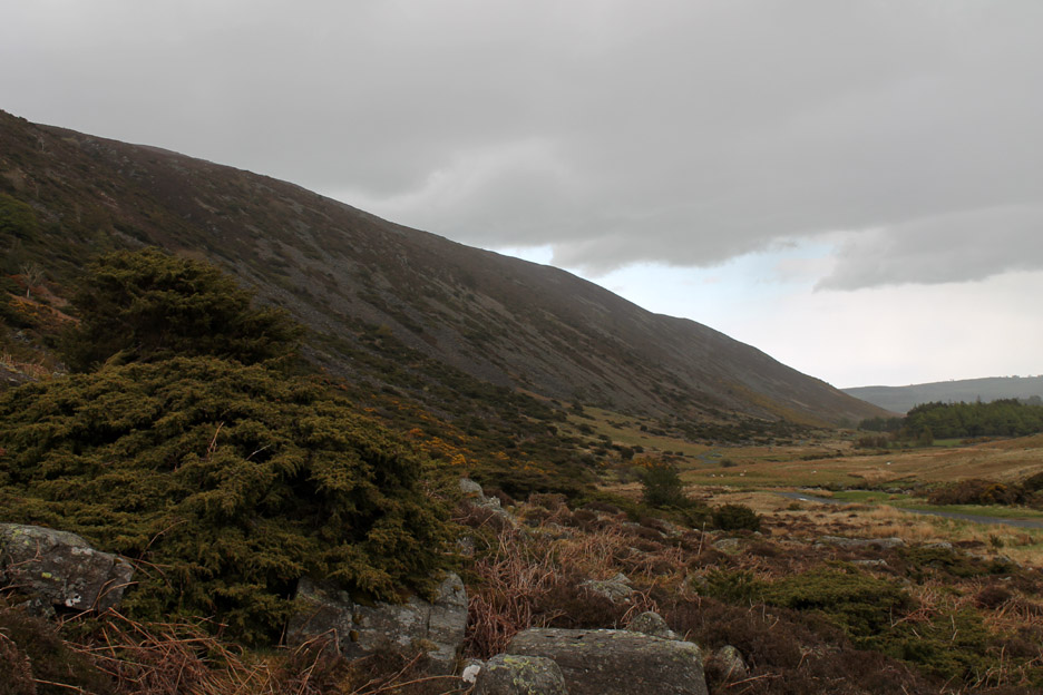
As we didn't park quite at the top of the Mosedale Valley there is a short and delightful walk down the road a short way passing a whole fell side of Juniper bushes on our left.
- - - o o o - - -
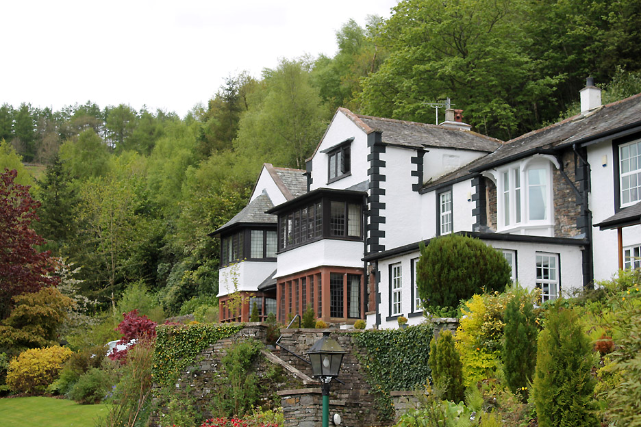
After the walk we adjourned to Jill and Nigel's house . . . not ! They had rented a small but delightful self-catering apartment at Ladstock Hall to the right of this lovely house and after-walk refreshments were complimented by a good chat in front of a warming fire. - - - o o o - - - |
||||||||||||||||||||||||||||||||||||||||||||||||||||||||
Technical note: Pictures taken with either Ann's Canon Sureshot SX220, my Canon G10 or 1100D SLR digital cameras. Resized in Photoshop, and built up on a Dreamweaver web builder. This site best viewed with . . . gloves, hat and scarf . . . and an I Spy book of Mines Go to Top . . . © RmH . . . Email me here Previous walk - 17th May 2013 - Rannerdale Bluebells - 2013 - A previous time up here - 8th January 2009 Carrock Fell with Jayne Next walk - 24th/26th May 2013 - Rannerdale Bluebells 2 - 2013 Click here for a few, slightly different (!) photos of the Canadian Level entrance from Maggie Allan's visit in 2011
|