![]()

Remember: Press F11 for a full
screen view of this page.
|
|
|
Remember: Press F11 for a full
screen view of this page. |
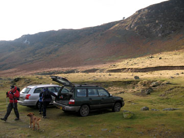
| Date & start time: Thursday 8th January 2009. 11.20 am start. Location of Event : Opposite Stone Ends Farm, near Mungrisedale, Cumbria, Uk ( NY 353 338 ) Places visited : Carrock Fell, Round Knott, Drygill,High Pike, Driggeth Mines and back. Walk details : 5.9 ml, 1750 ft of ascent, 4 hours 40 mins. Highest point : High Pike 2,157ft ( 658m) Walked with : Jayne and John, Ann and the dogs, Polly, Harry and Bethan. Weather : Cloud and damp but patchy sunshine a possibility in the east. A cool breeze. Parking on the roadside by Further Gill quarries |
|
|
It's cold and damp but temperatures are easing and fine weather is predicted for more eastern fells. We collect Jayne and meet up with John for an interesting walk 'back of Skiddaw'. Two new summits for Jayne too as she enjoys her first fell walk for a while.
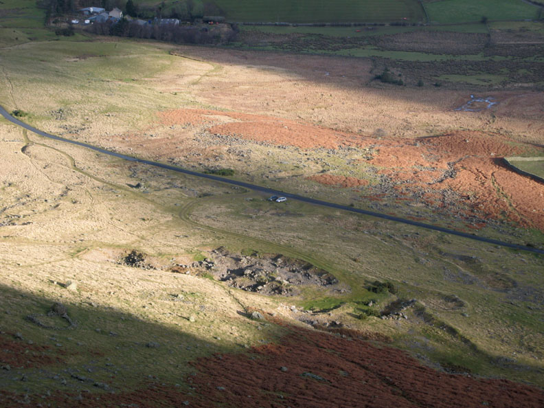
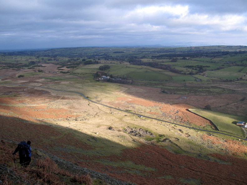
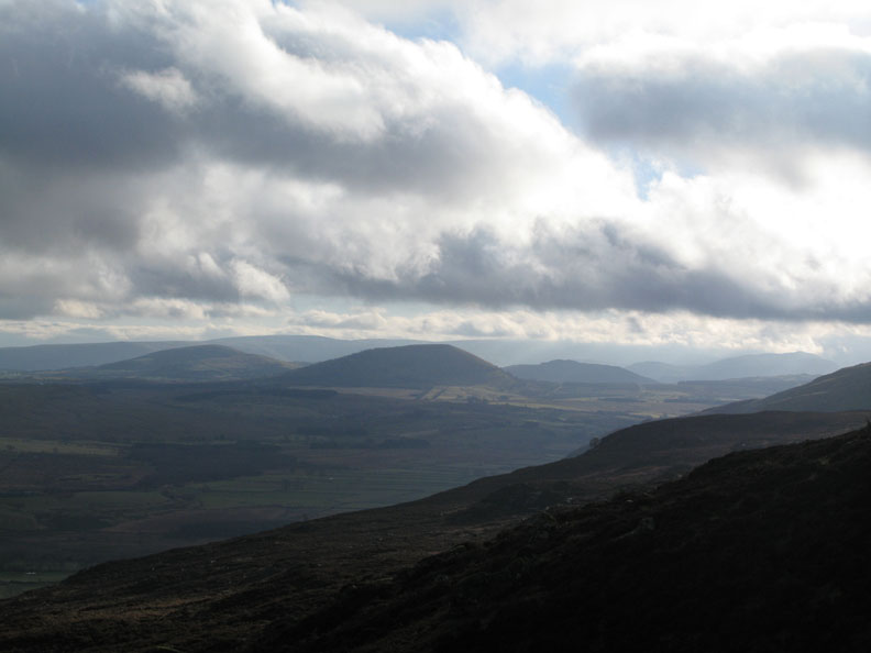
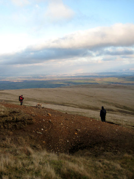
The view from up there, looking back down. We had parked at the roadside close to the Further Gill Beck quarries, at a place called "Apronful of Stones" on the 1:25k map.
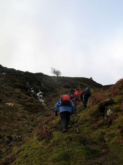
The route climbs diagonally up across the face of the crags and joined the gill high on the fell side.
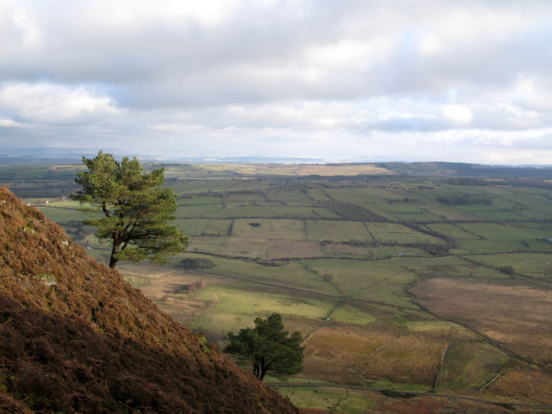
Pine Trees add foreground to the view of the distant, snow covered Pennines.
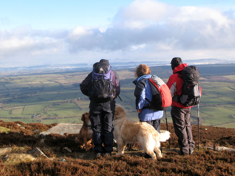
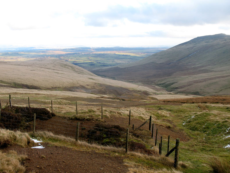
Onto more level ground above the crags, we take a breather and look out on the distant snowscape. The Eden Valley and the eastern side of the Park has had more snow recently than we have had on the western side.
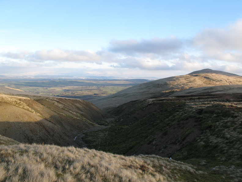
Great and Little Mell Fells with High Street behind, looking south across the A66 highway.
This is Gabbro, a volcanic granite rock more akin to Dartmoor than the back of Skiddaw.
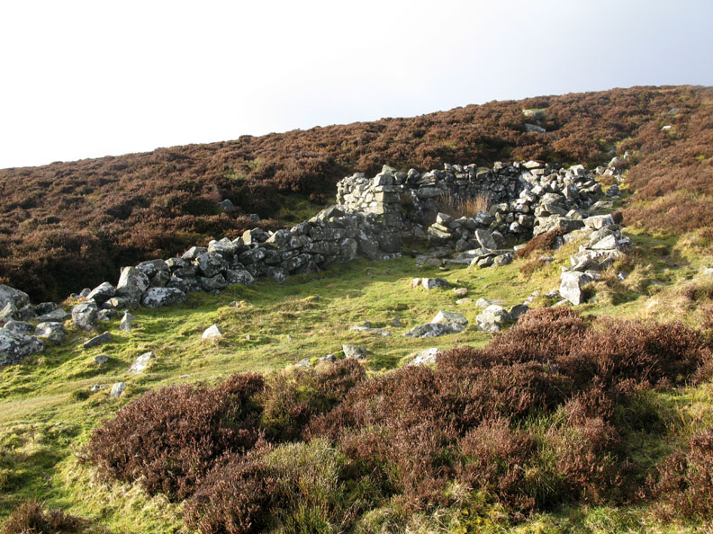
A small sheepfold on the way up. Talking to a local farmer here in Loweswater, he said this type of fold was used to gather small groups of sheep on the fells so that they could be checked out for flies, ticks or maggots, or the 101 problems that sheep delight in suffering, and avoided gathering them from the high fells to distant farmyards. Nowadays the advent of larger flocks and easier access (quad bikes for instance) has meant gathering is easier and these folds are falling into disrepair.
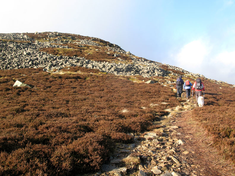
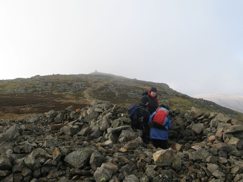
We continue on up towards Carrock Fell summit.
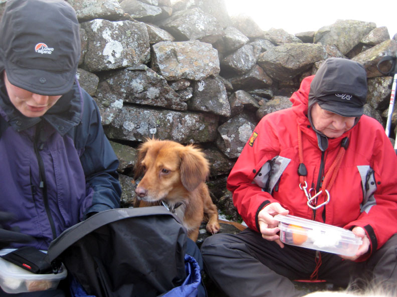
The top is in sight, but so is a rather nice small shelter and it could well be time for lunch.
"Hey ... what have you got Jayne as I don't like oranges "
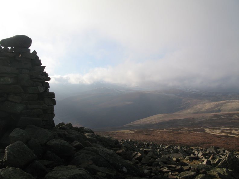
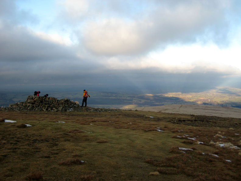
Carrock Fell Cairn, a fine structure on the western end of the ancient ring fort surrounding the summit of Carrock fell.
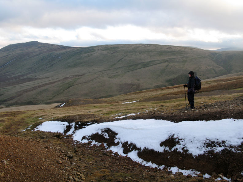
It's a stiff breeze up here out of the shelter and Jayne's anemometer reads 22 mph gusting to 26 mph. We're not far from the cloud base, but the predicted better weather has arrived.
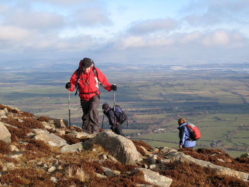
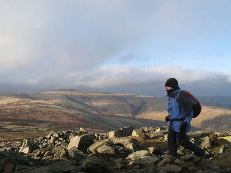
Ann wrapped against the cool breeze as we head off west towards High Pike.
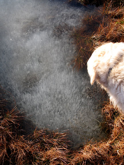
The pool had bubbles suspended in ice an inch below the surface of the water.
The path from Carrock to High Pike is not particularly well defined. It is a question of keeping to the high ground and the short grass and following the damp indentation across the moor.
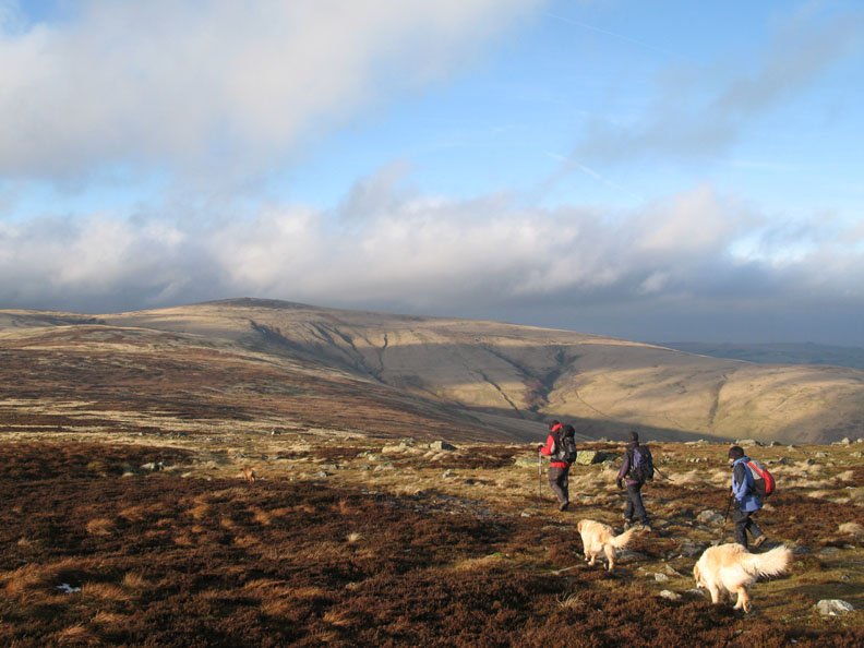
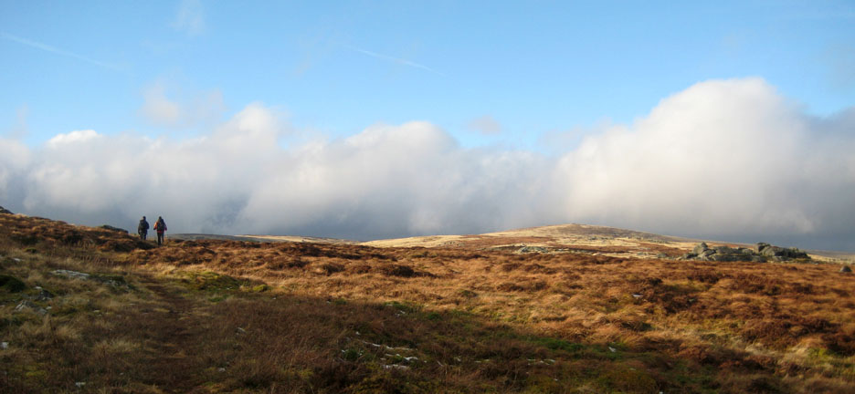
Passing Round Knott . . . blue skies a plenty.
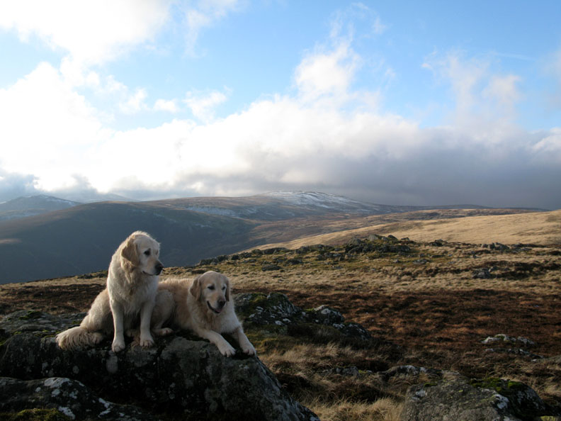
Harry & Bethan with Great Calva and snow covered Knott behind
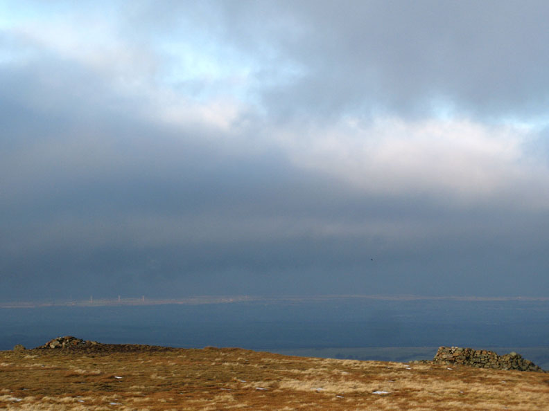
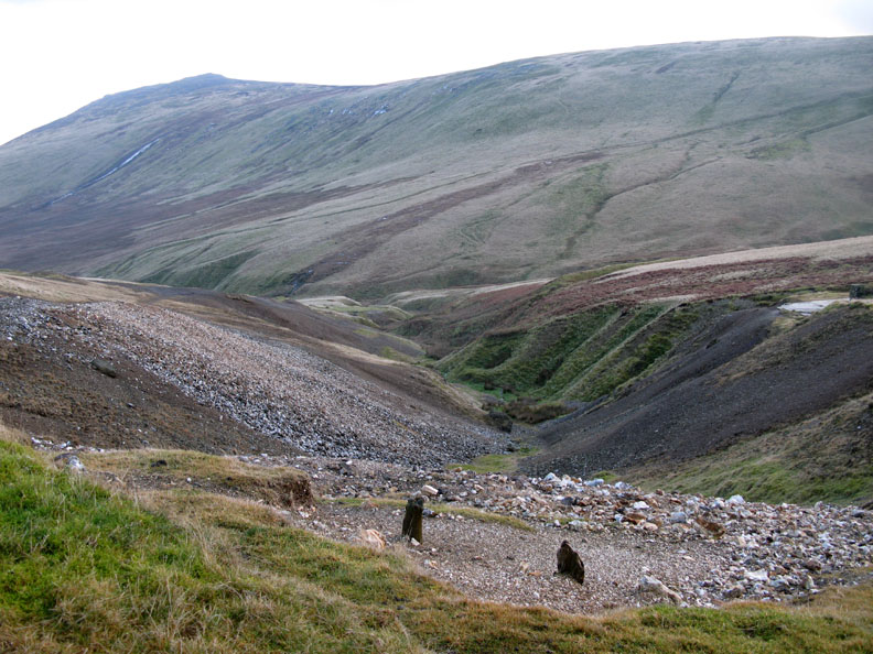
Looking back to Carrock Fell from the top of Drygill Beck.
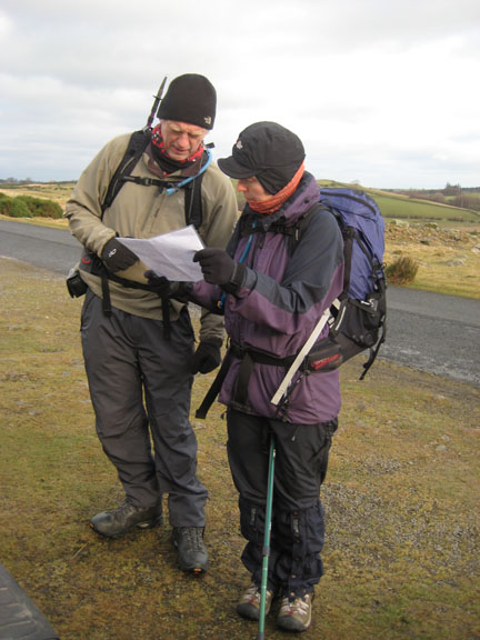
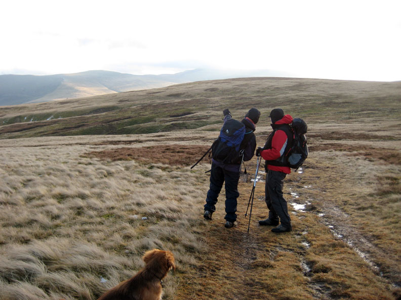
Views south were difficult due to the cloud and low sun but Jayne and John stop to discuss geography and the juxtaposition of Bowscale to distant Skiddaw . . . presumably !
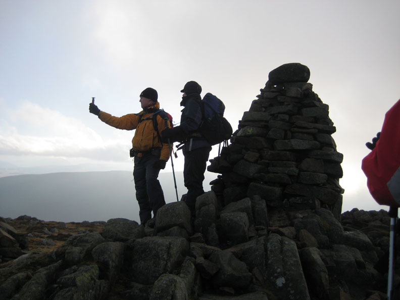
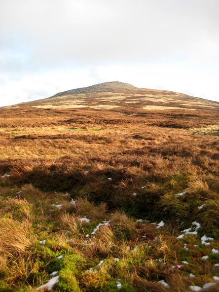
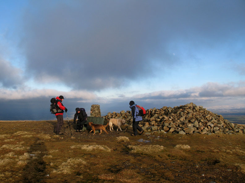
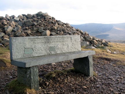
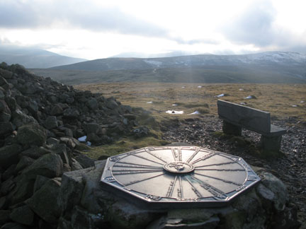
The unique summit of High Pike with it's large cairn, trig point and slate memorial seat.
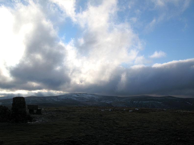
However nothing can replace that big sky.
Just north of the summit is another smaller shelter, the remains of a shooting bothy I believe.
The sun highlights distant white painted wind farms . . . . why ? Couldn't it find something more useful to illuminate ?
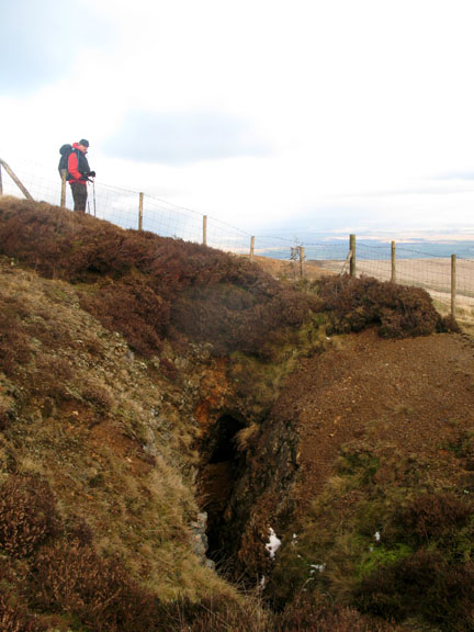
Signs of old workings as we drop down to the old Driggeth Mines.
Jayne studying the view as she walks down through the old workings.
There has been a big clear up after the mine closed so the detail of the operations have been confined to the history books. There's little left to see.
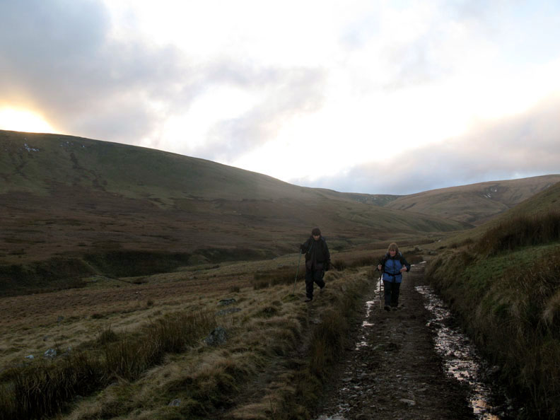
Jayne and Ann follow the old mine road back towards the moorland road.
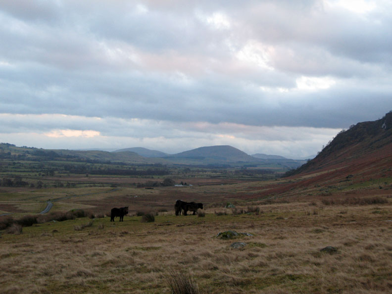
Taking a short cut across the fell towards the car seemed a good idea but a missed footing in the stream and boggy ground left us rather damp by the time we reached the horses.
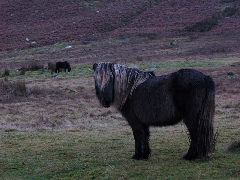
Semi-wild moorland ponies seemed unperturbed at our passing. This one had a rather fetching blond mane to contrast it's black hair
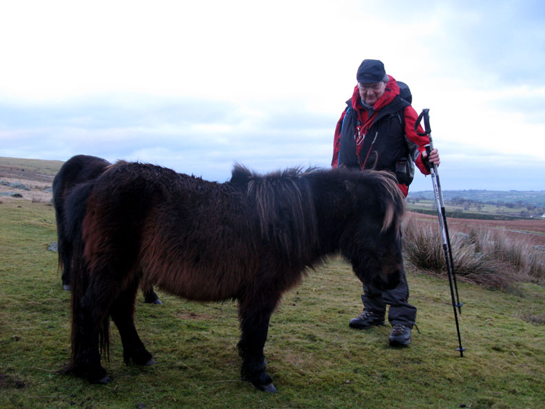
Size is deceptive until you place them next to a person like John who is 14 hands high to the top of his withers ! - - - o o o - - - |
Technical note: Pictures taken with with my Cannon G7 or Ann's Ixus 75 Digital camera. Resized in Photoshop, and built up on a Dreamweaver web builder. This site best viewed with . . .size conversion chart for horses ! © RmH.2009 # Email me here # or leave me a Guest book Entry Previous walk - 6th January 2009 White Maiden Moor A previous time up here - 30th June 2007 High Pike for a not so sunny walk
|