![]()

Remember: Press F11 for a full
screen view of this page.
|
|
|
Remember: Press F11 for a full
screen view of this page. |
| Ling Fell in Cumbria Date & start time: Sunday 17th January 2010, 3 pm start. Location of Start : Roadside near Eskin Farm, Wythop Valley , Cumbria, Uk ( NY 183 291 ) Places visited : Ling Fell and a drive back home via Lorton. Walk details : 1.9 mls, 650 ft, 1 hrs 10 mins. Highest point : Ling Fell 1,224ft ( 373m) Walked with : Ann and the dogs, Harry and Bethan. Weather : Blue skies but cool in the late afternoon breeze.
|
|
A poor morning but later in the afternoon the sun came out giving us an opportunity for a short Sunday afternoon trip but still a great little walk up Ling Fell. The snow has thawed rapidly in recent days but this lowly north western fell has a great view to check out many of the high fells surrounding it.
Looking back at Embleton village spread along the old A66 as we start our walk. The 'new' A66 follows the line of the late Keswick to Cockermouth railway in the middle of the valley.
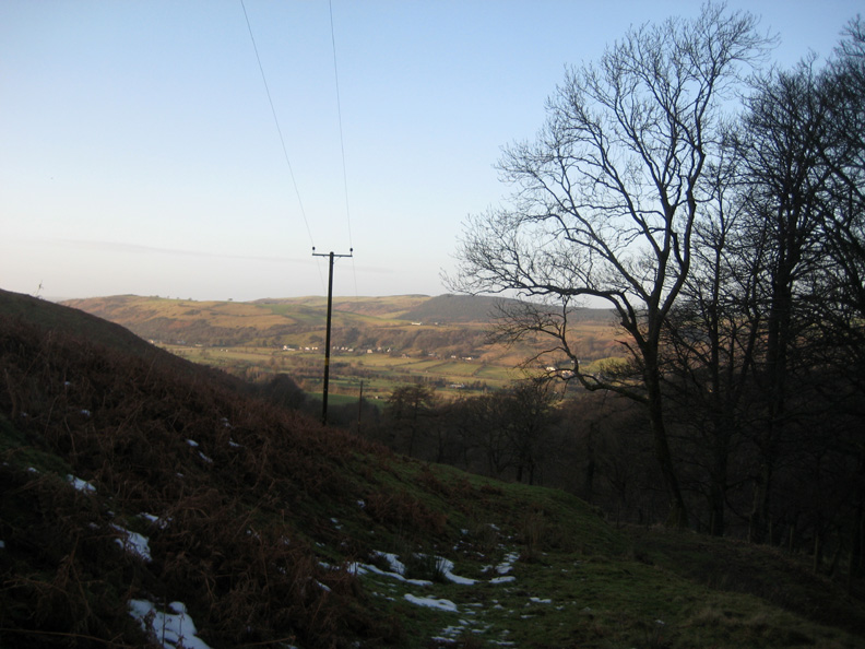
Sunlight through the trees as we leave the road and the car behind.
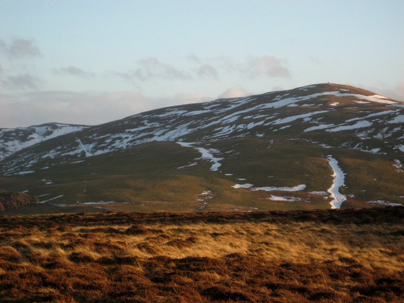
Climbing around the back of Ling Fell we start to get views of distant Skiddaw Fell. There's a lot less snow now than a week ago.
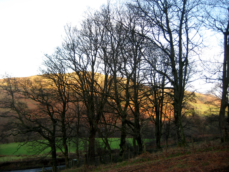
Only patches of snow remain on the northern slopes of Broom Fell.
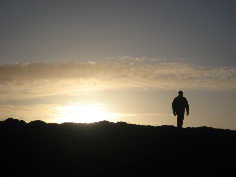
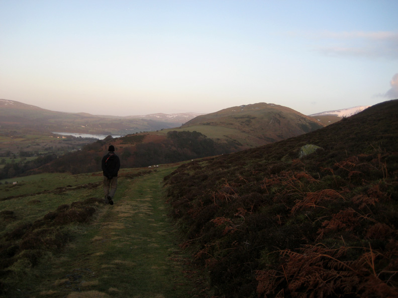
Leaving the farm track we climb quickly and reach the top of the fell while the sun is still above the horizon. That's me in silhouette - perhaps my best side !
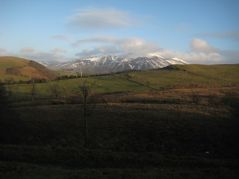
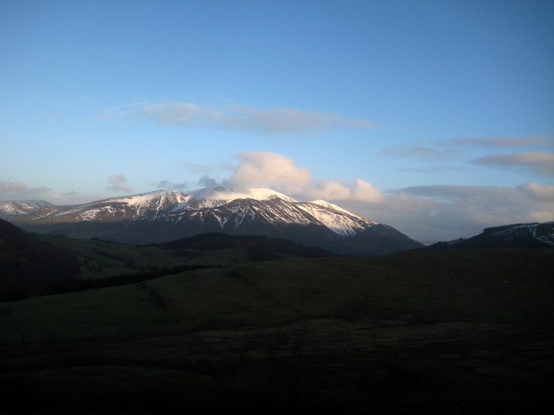
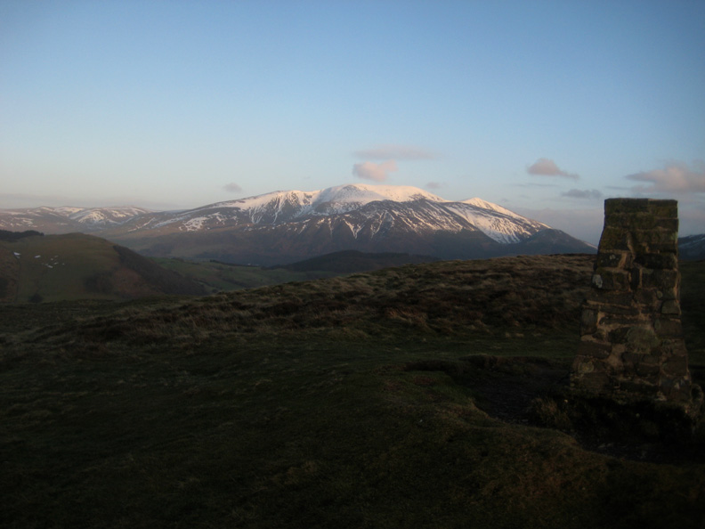
Form this lofty altitude of all of 1200 feet we can see the higher fells around us. There's more snow left on Skiddaw than we originally thought when we viewed it from lower down.
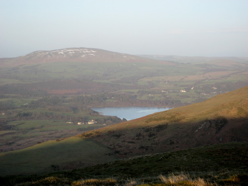
From the top . . . a glimpse of Bass Lake, the matt surface is caused by ice, not ripples from the breeze.
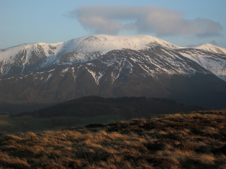
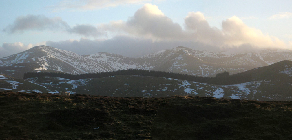
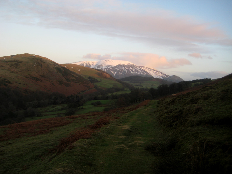
A close up of Skiddaw, the darker ridge in front of the snow being Ullock Pike and Longside Edge. To complete the picture, the lower wooded summit is Ladies Table and the heather (or Ling) in the foreground belongs to this Ling Fell.
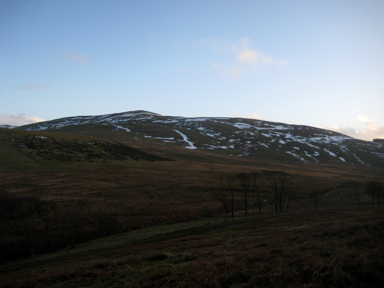
Lords Seat and the large summit cairn of Broom Fell are now visible.
The woodland to the south covers what is known as Widows Hause Behind it is the panorama of Grisedale Pike, Hopegill Head and the Whiteside Ridge.
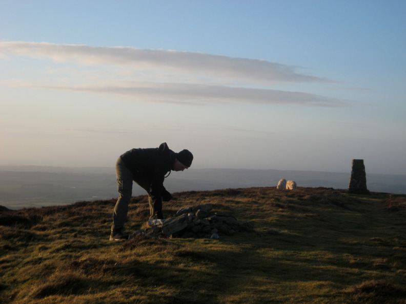
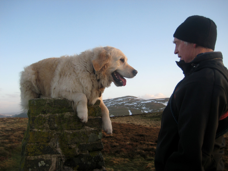
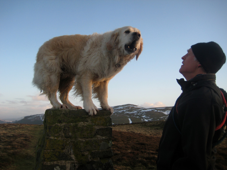
Time to do a little household chores before we finally reach the trig point. The summit cairn has spread a little over time and could be improved slightly by re-stacking the stones.
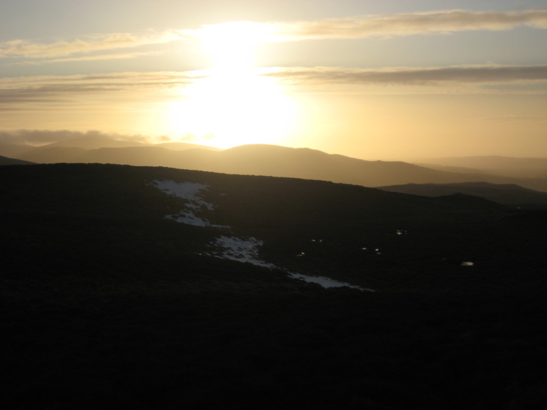
To the west the sun shines strongly, if only through a band of distant cloud.
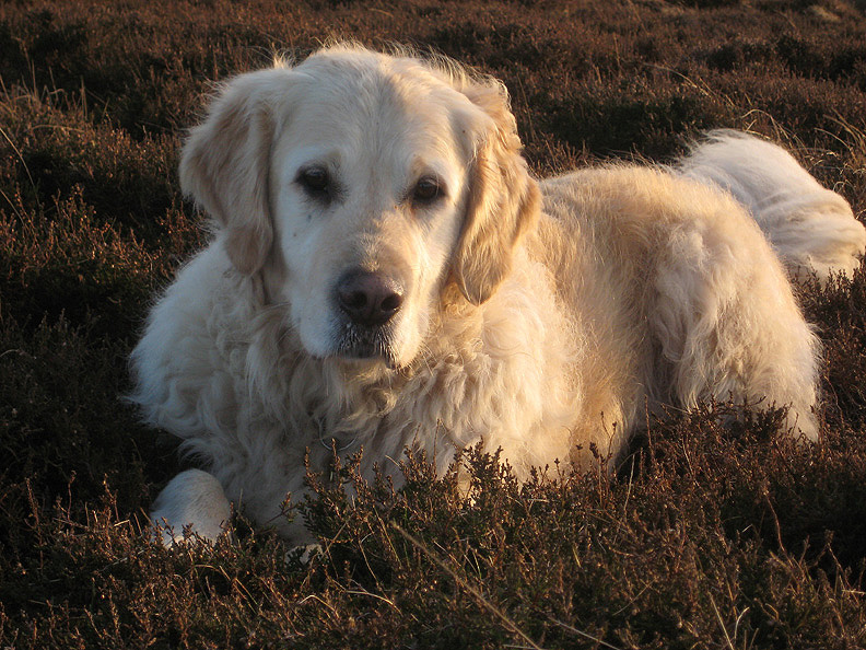
The golden light shines on the golden boy.
Who's a clever boy then ?
" I am ! . . . now you've had your photo . . . let me get down " [ As you may gather, all the photos today have been taken by Ann.]
Peace returns to the summit as we leave for home.
Following the track, we work our way around and down the fell . . .
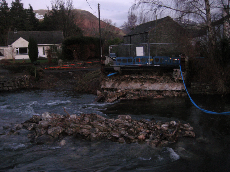
. . . back to the trees and the car. - - - o o o - - - On the way back we diverted to the Thackthwaite road through Lorton and checked out the old bridge.
Now the water levels have receded, the foundations of the old central pillar have re-surfaced. The blue pipe is the temporary water supply for the houses on this side of the bridge.
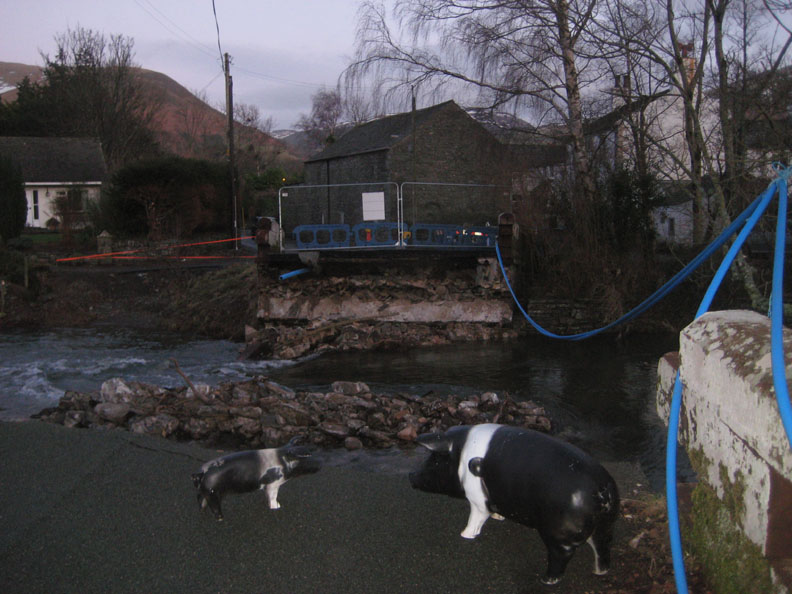
" The floods have made a pig's ear of this crossing " - - o o o - - - The owner of the adjacent house used to be a pig farmer and so had two plastic pigs in his garden. They survived the floods, if in slightly battered shape, and are now in charge of the crossing. - - - o o o - - - |
Technical note: Pictures taken with Ann 's Canon 75 digital camera. Resized in Photoshop, and built up on a Dreamweaver web builder. This site best viewed with . . . plans for a new bridge in the pipeline. © RmH.2010 # Email me here # or leave me a Guest Book Entry Previous walk - 10th January 2010 Not Rannerdale Knotts A previous time up here - 21st Oct 2007 Sale and Ling with Jo and John Next walk - 19th January 2010 Hope Beck Valley and Dodd
|