![]()

Remember: Press F11 for a full
screen view of this page.
|
|
|
Remember: Press F11 for a full
screen view of this page. |
|
Date & start time: Sunday 2nd August 2009. 4.45 am start. Location of Start : Seathwaite Farm Campsite, Borrowdale, Cumbria, Uk ( NY 235 122 ) Places visited : Seathwaite, Stockley Bridge, Grains Gill, Esk Hause, Calf Cove and return. Walk details : 6.7 mls, 2500 ft, 10 hrs including the best part of six hours encamped above Calf Cove. Highest point : Above Calf Cove, towards the start of the Broad Crag climb, 2825 ft ( 869m ). Walked with : Myself and the dogs, Harry and Bethan, plus the marshals and sixteen teams. Weather : Low cloud, grey and damp with a NW breeze. Forecasted to clear at midday. A Charity Event raising money for VSO, with technical assistance from Global Challenge UK. [Click on the drop down menu bar
for your choice of Google map or photo display ] |
VSO Scafell Pike 3Peaks Challenge |
|
I'm on the Safety Crew once again on Scafell Pike for a 3 Peaks event, only today the weather was not so kind. An early start and a climb into the clouds as 16 teams attempt to climb the three highest peaks of mainland UK in 24 hours.
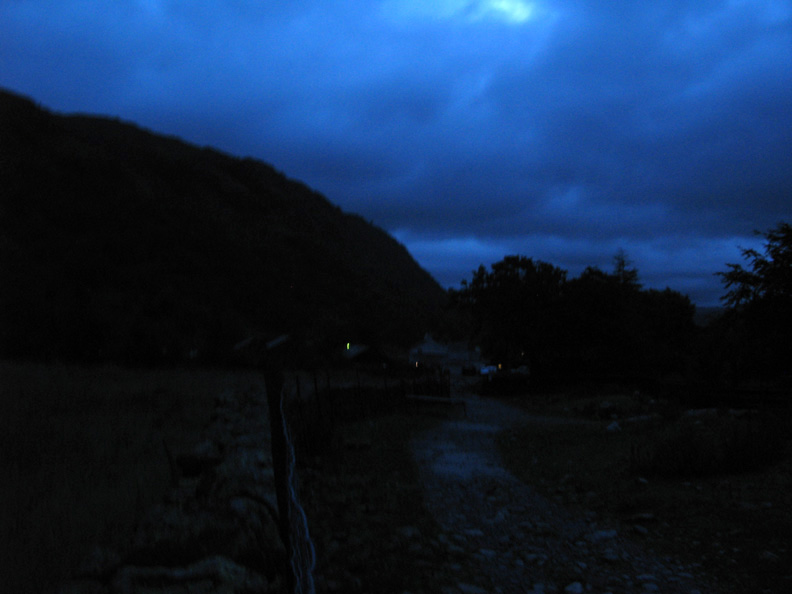
An early start as I leave Seathwaite Farm . . . no noise and no flash photography either please.
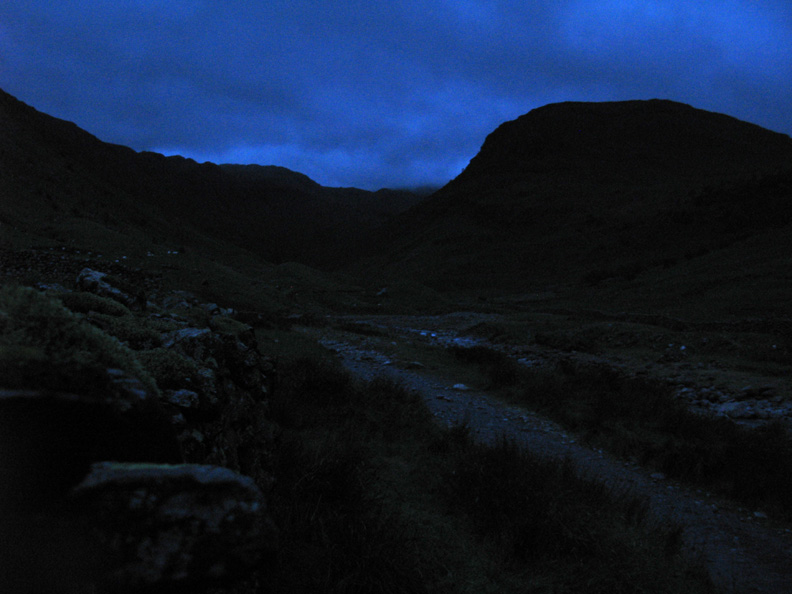
First light and I leave the flash off again in order to catch the mood. (It's about a one second shutter exposure for those of a technical mind)
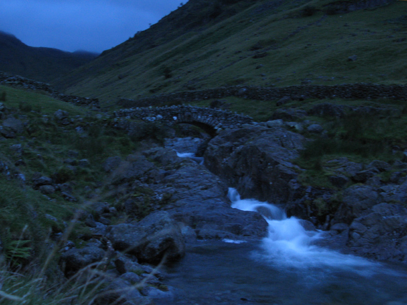
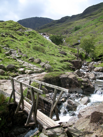
Slight focusing problems as I try for this early morning shot of Stockley Bridge. Not bad without a tripod !
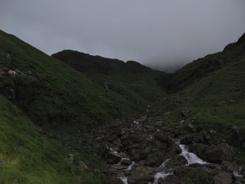
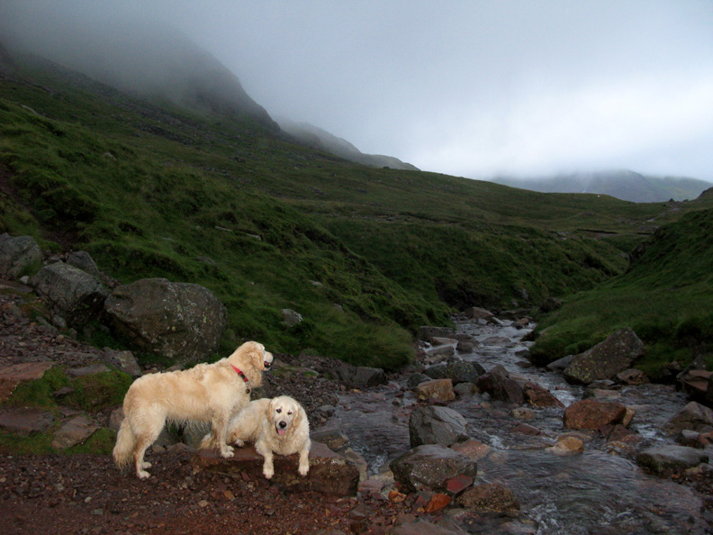
Today wasn't going to be one of those glorious dawns where the sun lights up Great End, in fact it is currently covered in low cloud. As I climb the valley the radio crackles the names of the teams that are now on their way up the valley behind me. Jelly Tots, Bon Bon, Love Hearts, Cola Cubes . . . today's teams had very sweet-orientated radio call signs.
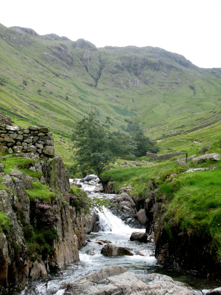
The flash kicked in at Ruddy Gill Crossing despite the lighter surroundings.
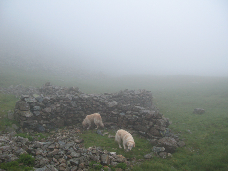
The cross shelter in Calf Cove as I enter the mist. The more I think about them, the more I'm convinced they were for sheltering mountain ponies and their guide in the Victorian days, when the visitors to the fells would climb by pony as far as possible before continuing to the summit on foot. Similar shelters to this exist at Esk Hause and on the top of Helvellyn.
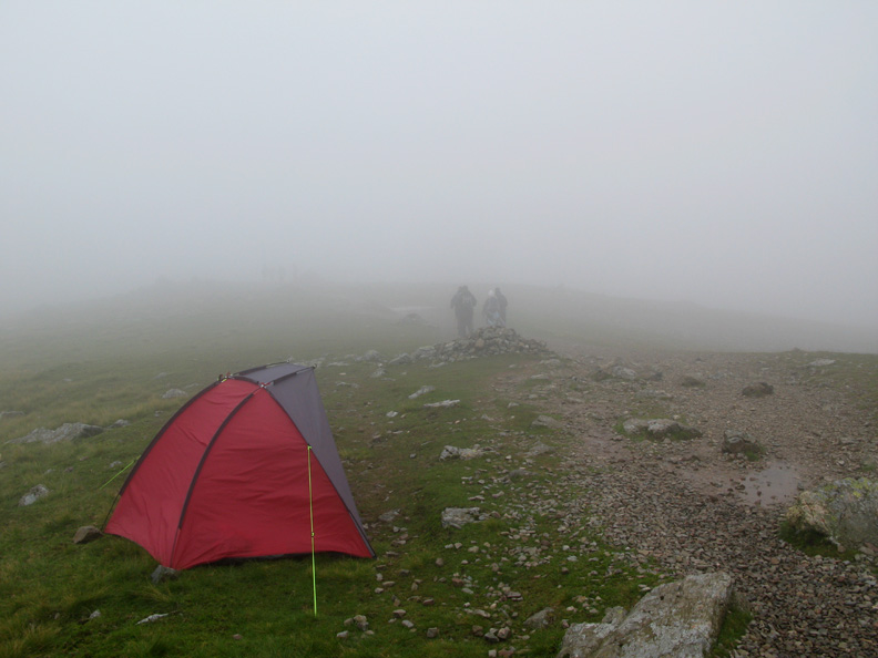
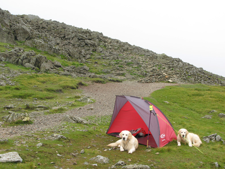
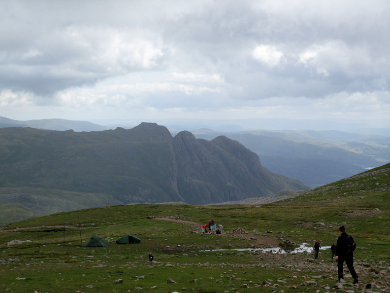
My pitch today was just above Calf Cove . . . to encourage the teams on to the summit and to make sure they didn't take the wrong path and end up walking to Great End on their return.
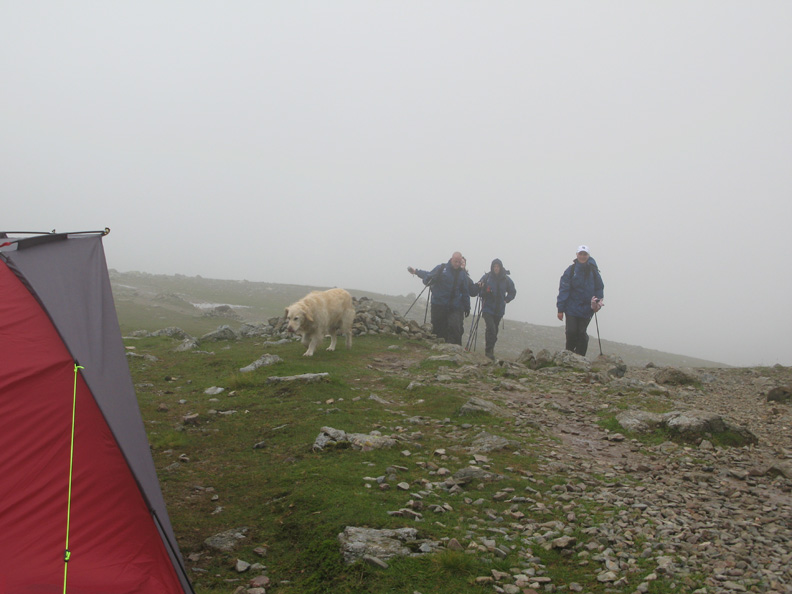
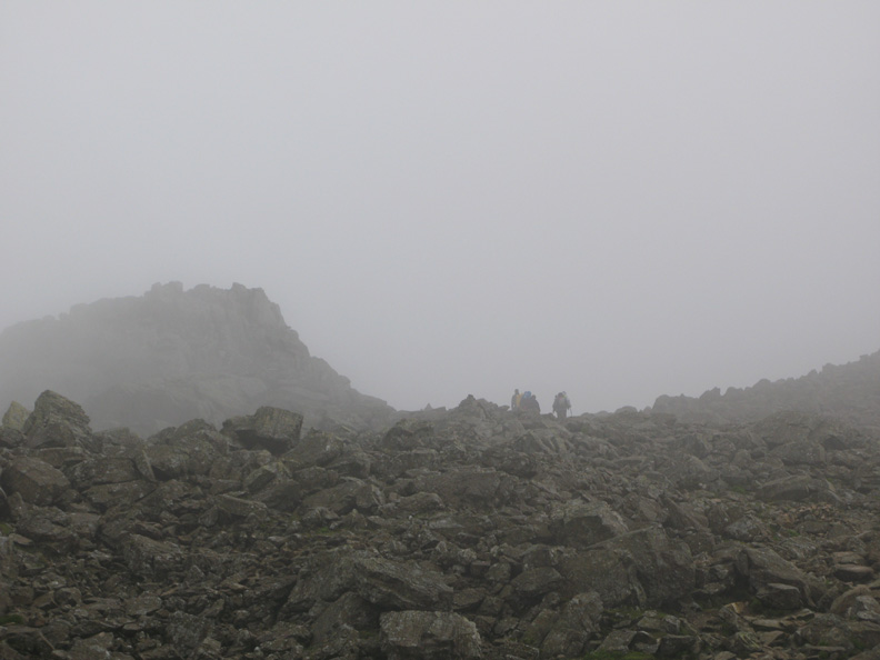
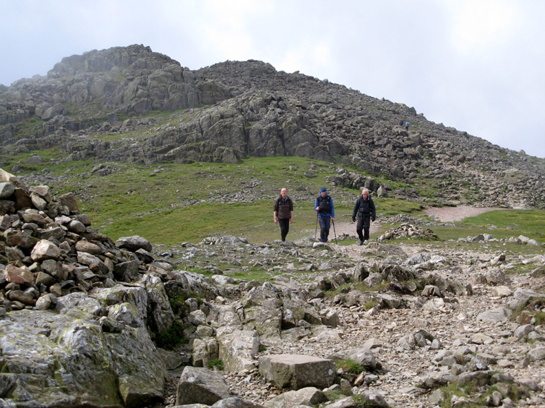
Another of the teams arrive, stop to have a brief chat and then continue on their way to the top. Apparently last night's climb of Ben Nevis was a cold, wet one. This morning the cloud is down but it is not too bad.
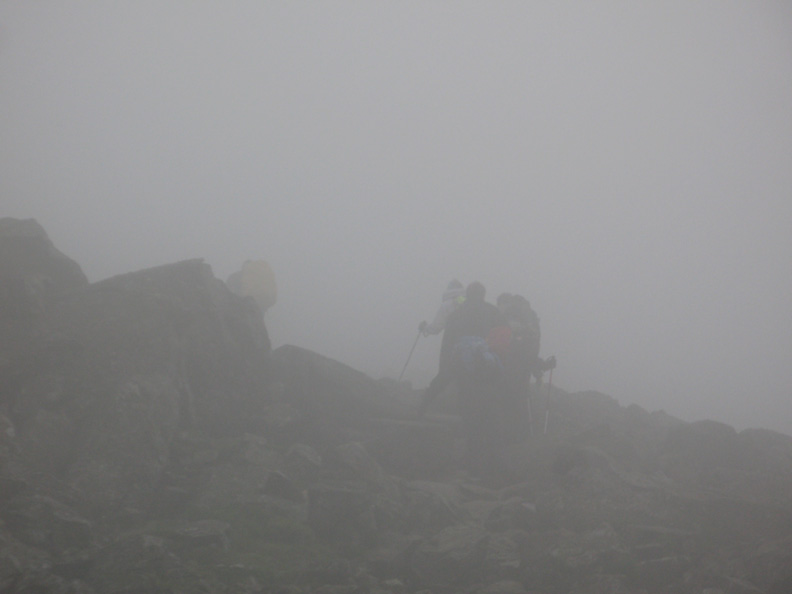
Climbing the boulders on the way up and over towards Broad Crag.
Occasionally the cloud would break and the view became more extended. Remember this is the second mountain they've climbed since starting about ten pm yesterday evening !
What's this . . . could the forecast for the weather to clear be coming true ?
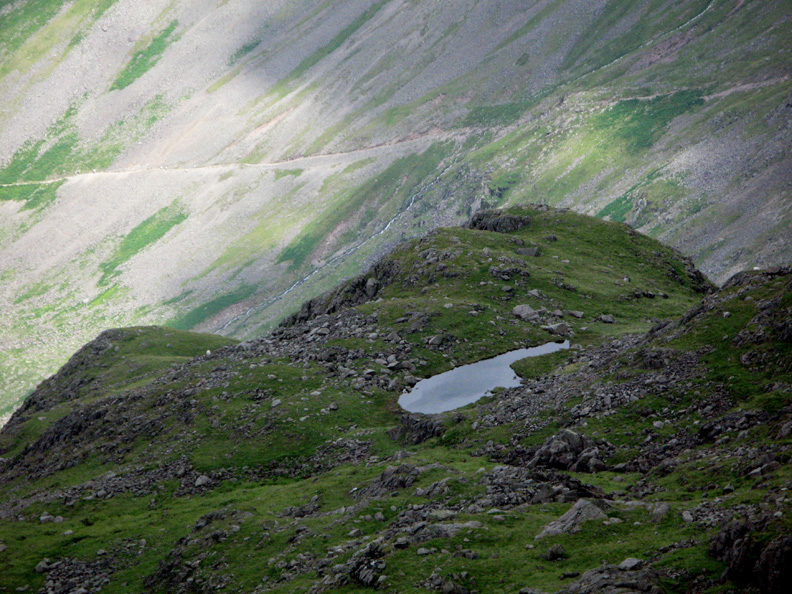
The small tarn at Lambfoot Dub and the Wasdale Path to Styhead suddenly appear out of the mist.
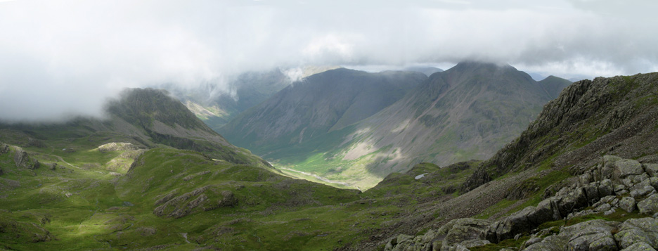
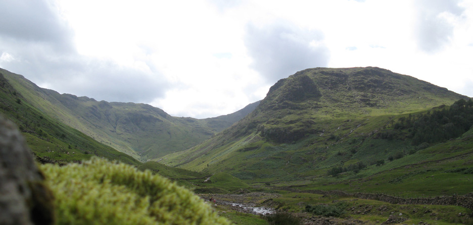
Time to catch a wider photo of Great Gable, Kirk Fell and Lingmell Fell to the left in between logging the teams up and back past my checkpoint.
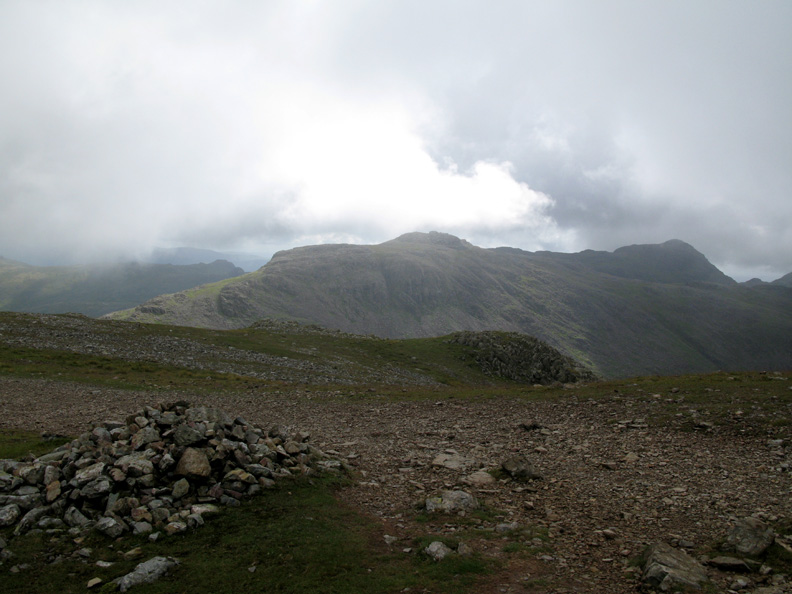
It's clearing to the south too . . . this is Esk Pike and Bowfell from my shelter.
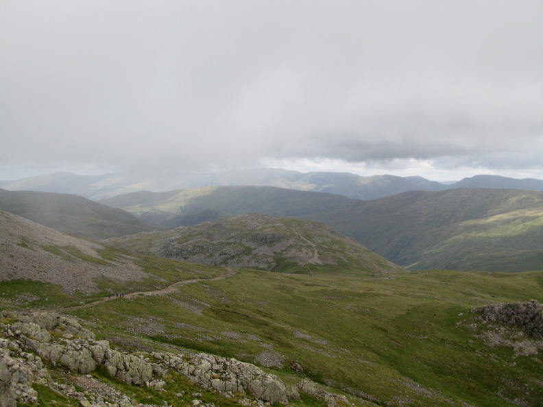
From a little further over I get a glimpse of Esk Hause and one of the teams making their way back down. When they reach the two small tents, they must turn left and not go on to climb Allen Crags ahead.
This is the life . . . after five or so hours at my cold, damp, breezy location, the sun is now out and shining strongly at last . . . pity we have to go ! My three colleagues bring up the rear as all the teams have now safely returned and are on the way down.
Esk Hause, the control point and Challenge Radio Relay tents . . . remember to turn left and not go on into the Langdale Valley ahead. The Langdale Pikes are nice to see, but you'll never make Snowdon if you go that way !
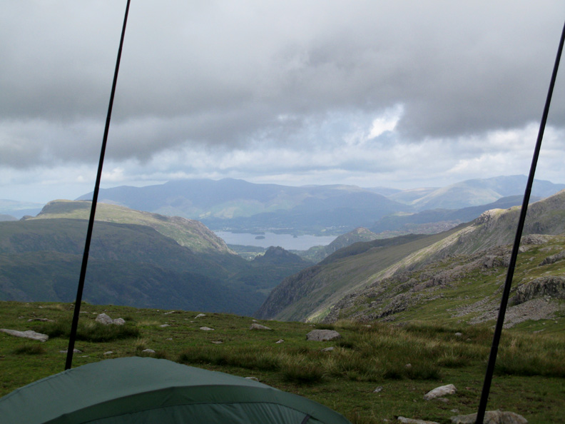
The Borrowdale Valley, Castle Crag, Derwent Water and distant Skiddaw . . . framed by the twin masts of our temporary radio relay station.
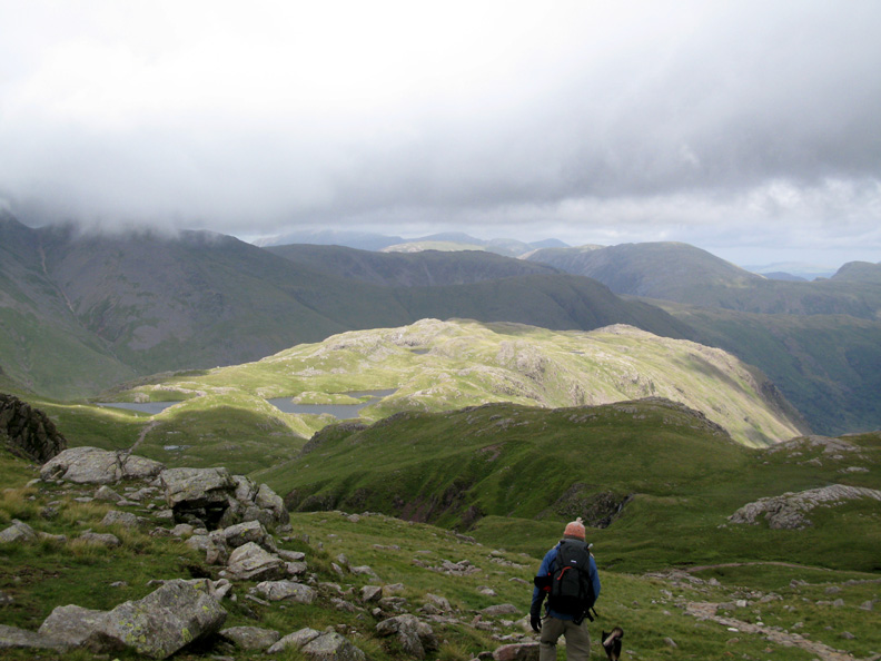
Strong sunlight on Sprinkling Tarn and Seathwaite Fell ahead . . . as we make our way down too.
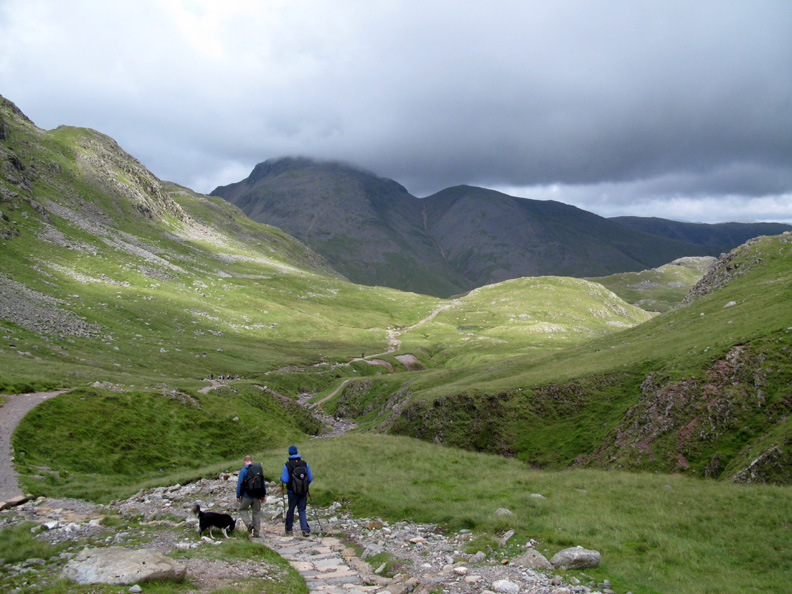
Compared to the earlier photo of the dogs in Ruddy Gill, the cloud has lifted considerably . . . clearing Green Gable and almost the summit of Great Gable ahead.
I think this is where I came in . . . only the sun is out, the cloud is clearing . . . and all the teams have completed two thirds of their mountain challenge. Best wishes for Snowdon and I hope they've raised lots of pennies for Voluntary Service Overseas. - - - o o o - - - |
Technical note: Pictures taken with with my Cannon G7 Digital camera. Resized in Photoshop, and built up on a Dreamweaver web builder. This site best viewed with . . . a good reason to get up and out in the early morning ! © RmH.2009 # Email me here # or leave me a Guest Book Entry Previous walk - Wednesday 30th July 2009 Roughton Gill and High Pike A previous time up here - Sunday 31st May 2009 HSBC/VSO Scafell 3 Peaks Next walk - Monday 3rd August 2009 Dale Head to Buttermere
|