![]()

Remember: Press F11 for a full
screen view of this page.
|
|
|
Remember: Press F11 for a full
screen view of this page. |
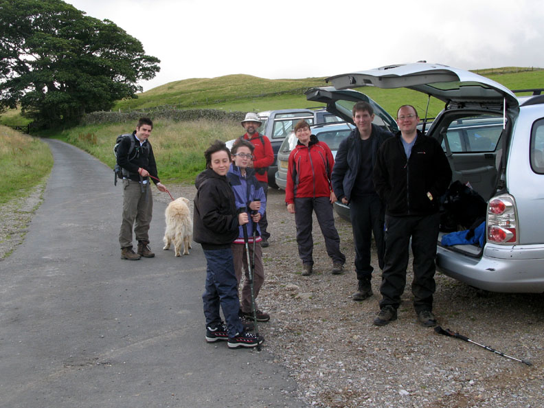
| Date & start time: Thursday 30th July 2009. 11.30 am start. Location of Start : Village parking, Fell Side, Back o' Skiddaw, Cumbria, Uk ( NY 304 374 ) Places visited : Roughton Gill, the Mines, Little Lingy Hill. Great Lingy Hut, High Pike and back via Deer Hills to Fell Side village. Walk details : 7.5 mls, 1650 ft, 4 hrs 25 mins incl lunch in Lingy Hut. Highest point : High Pike ( 658m ) Walked with : Jill, Nigel and Richard (Batchelor), Ian, Mark, Cory and Megan (Smith) and myself with just one dog, Bethan. Weather : A windy day but otherwise no great problems. [Click on the drop down menu bar
for your choice of Google map or photo display ] |
Roughton Gill & High Pike |
|
Ann stayed back to look after Harry who had strained a muscle in the garden recently and was confined to "rest and recuperation". I accepted a lift from Ian and we met up with Jill, Nigel and Richard for a walk in the northern fells.
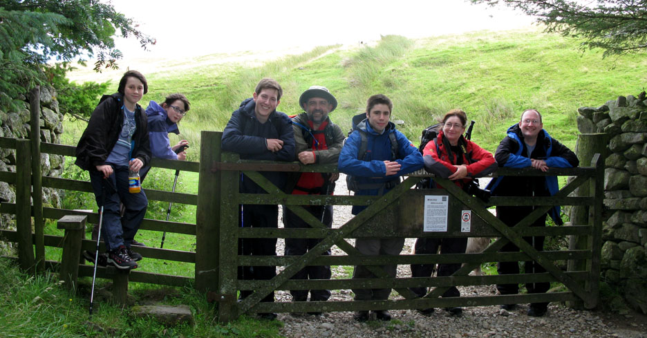
" Smile Please . . . " a quick group photo. The people are Richard, Cory, Megan, Nigel, Jill, Mark, Ian with myself behind the camera.
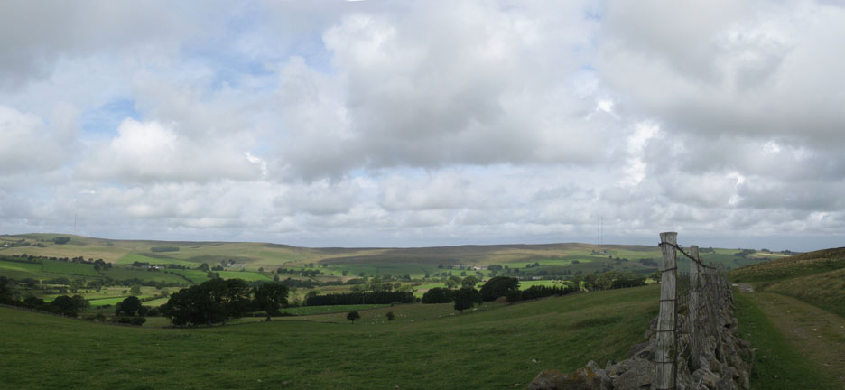
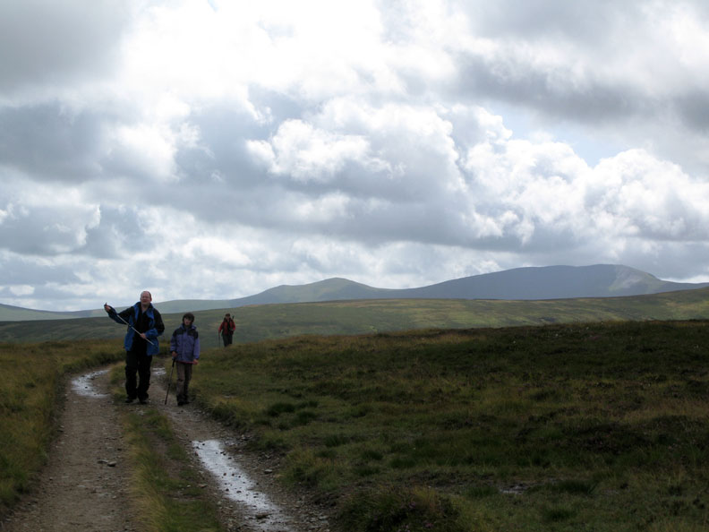
We're walking Back o' Skiddaw today . . . so far north that we're almost out of the National Park itself. Roughton Gill ( pronounced Rowton Gill locally ) flows directly north from Knott Fell The low hills are the Caldbeck Fells and looking carefully you can spot three TV transmitting masts which are now being converted to supply the new digital TV signals to Northern Cumbria.
Roughton Gill looking basically south to Brae Fell and Great Sca Fell. Several areas around the back of the fells are being re-forested with broadleaf woodlands by the National Park in order to increase bio-diversity. Jill crouches down to read the details posted on the notice by the gate.
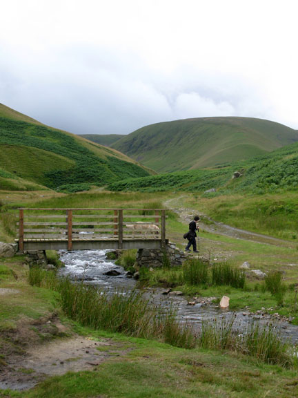
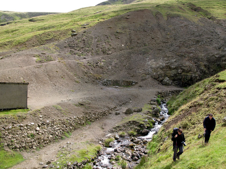
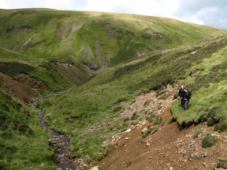
We follow the mine track up the valley, passing the deeply incised Ingray Gill.
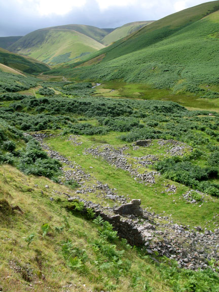
In it's day, the Roughton Gill Valley was a major, if not the major producer of copper and lead ore in the world. Despite it's reclamation by nature, there is evidence of numerous old mines and spoil heaps. The top of the valley was the area where the majority of spoil heaps are to be found but lower down, near the start of our walk, there were the remains of the Smelting Mill where they refined the ore into pure metal ingots in order to make transportation easier. Copper and lead were important in those early days for cladding of copper bottomed boats (warships and trading vessels), copper for boilers of ships and trains, and lead for roofing and cannon balls.
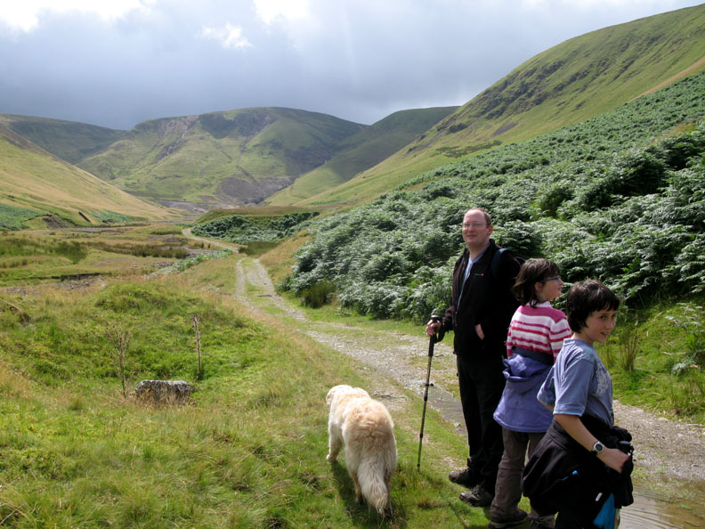
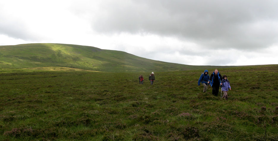
Iron Crag ahead as Ian, Megan and Cory wait for the others to catch up . . . they weren't far behind.
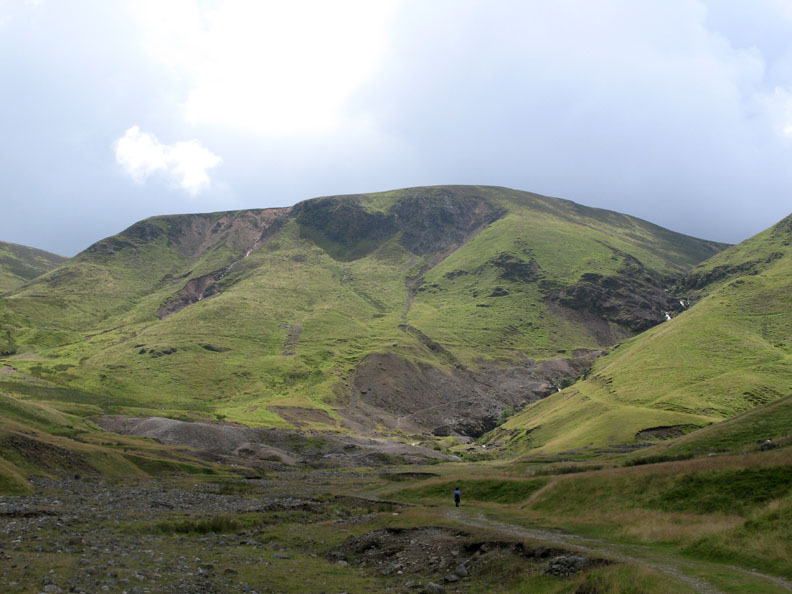
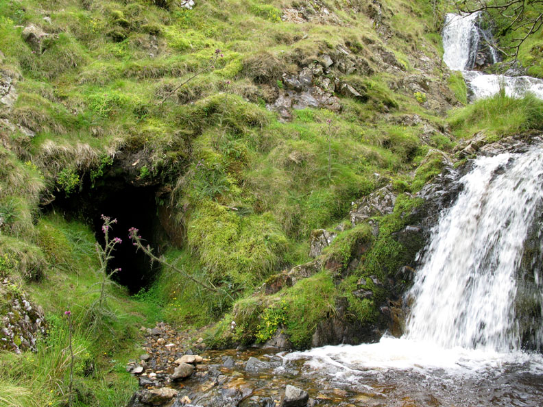
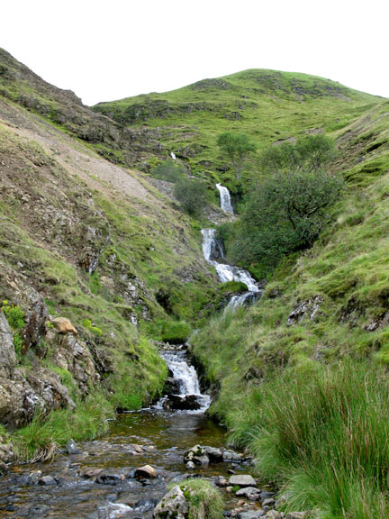
The minerals in the soil colour Iron Crag quite significantly. Roughton Gill Falls cascade down from the high fells in a series of impressive waterfalls.
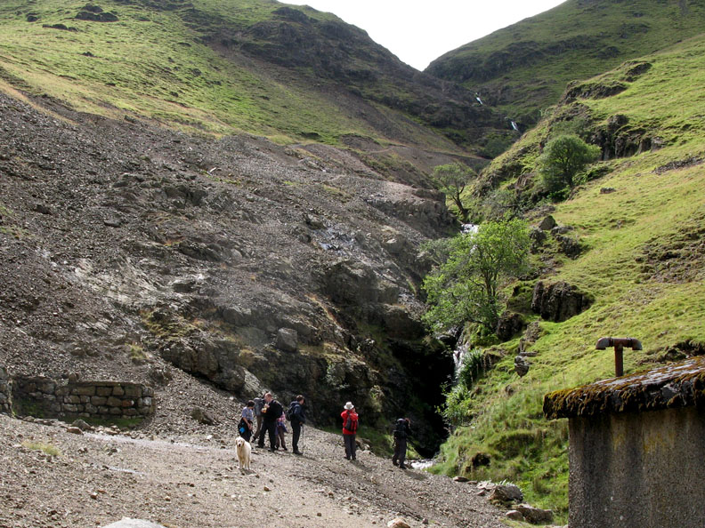
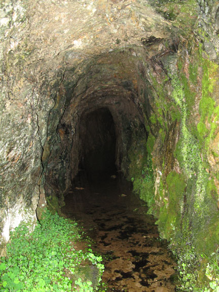
At the base of the waterfall is the covered entrance to what must have been one of the major mine entrances. One building, probably a power house, remains standing but the mine entrance is blocked, a locked manhole presumably allowing entrance to those with permission and the experience to venture underground into the old workings.
We stop to admire the falls and chat about the possible layout of the various mines and addits.
Time to leave the valley as we start our way up the steep fell side to the right of the falls.
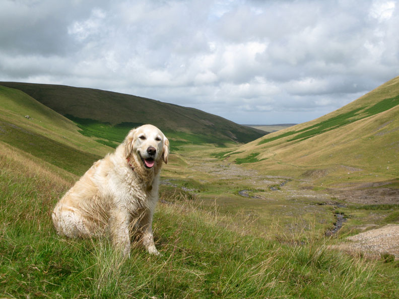
A happy smiling face as Bethan finds herself the centre of attention. Behind we look back down the valley, and the track we had used as we walked up to the mines.
Alongside one of the falls, a much older mine addit, it's entrance still open to view.
Climbing higher, we look down to where the sunshine and clouds throw fast moving shadows across the valley.
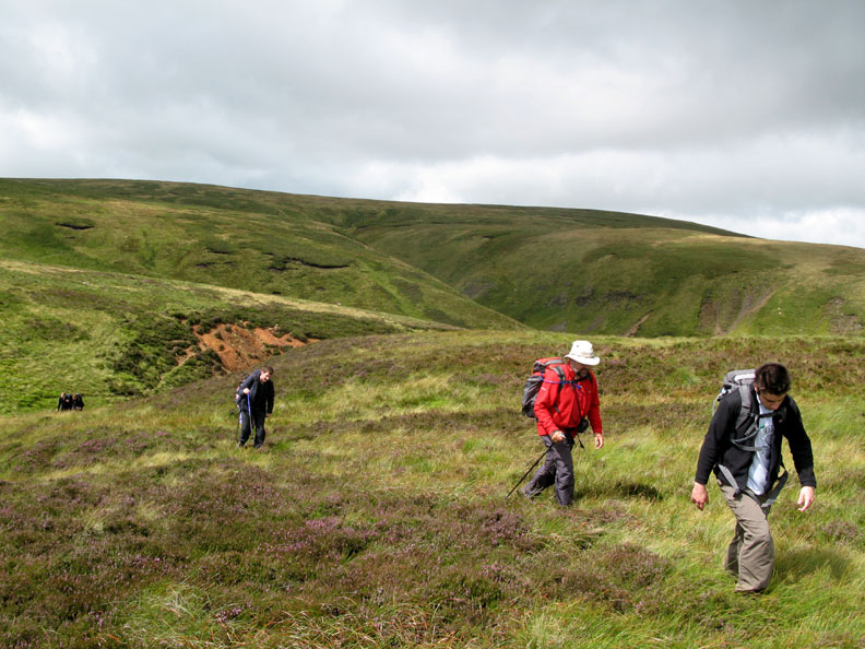
Jill and Ian walk above the upper section of the valley. They stop to look across at something . . .
The kids seem to have found a rather dodgy path on the other side !
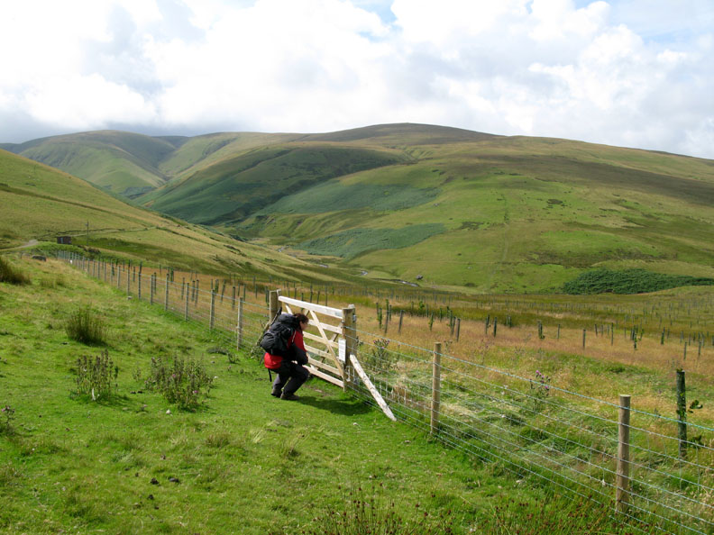
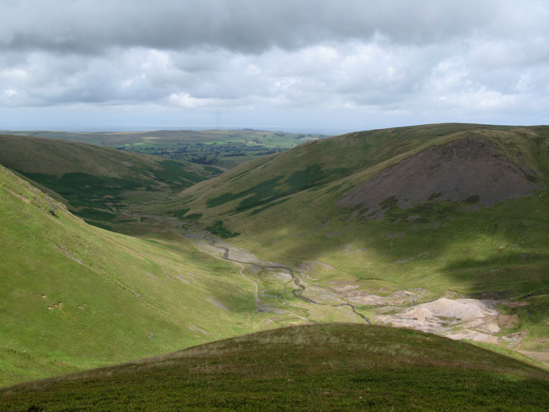
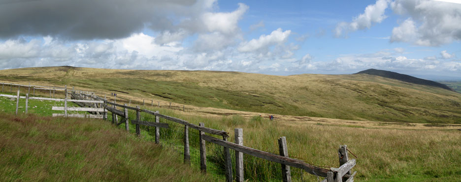
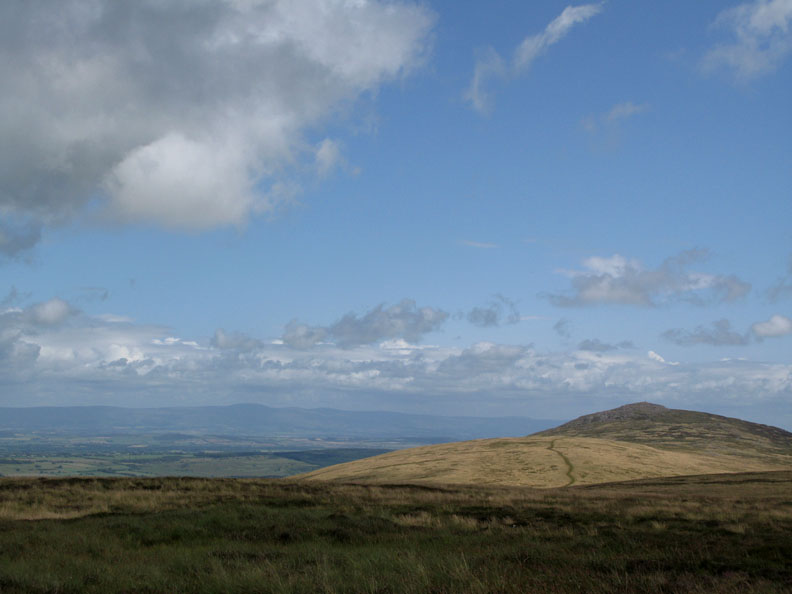
After the valley section, the mines, a steep climb and the upper valley, we now reach the open moorland. The next landmark is Little Lingy Hill.
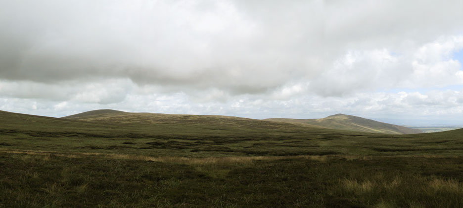
A small rise on the open moorland where we have a view north to our next summit High Pike on the left, with Carrock Fell away to the right.
Cory starts across a peat bog section, but it's not as bad as it looks. Watch where you're putting your feet . . . oops . . . too late Ian !
The slightly yellow patch of grass defines Little Lingy Hill as we cross the boggy ground.
Knott Fell behind as we make drier ground.
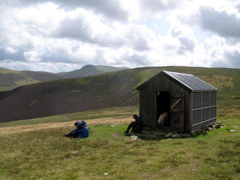
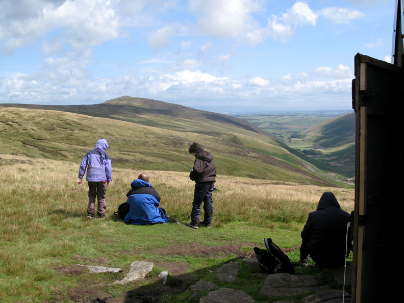
Yet another change of scenery as the sun comes out and we cross the grassy flanks of Great Lingy Hill to reach the Lingy Hut. This is a mountain bothy located on the Cumbrian way footpath and overlooking the River Caldew . . . those are the Pennines in the distance.
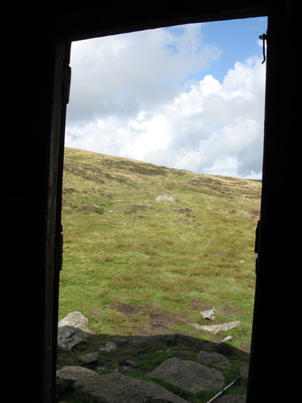
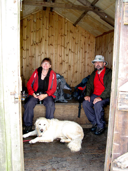
A fine spot for lunch. The door is bolted but never locked. The hut is maintained by the National Park and the voluntary Ranger Service and is available for anyone to use for daytime shelter or overnight stays. Today it was a great spot for our lunch and inside we were out of the breeze !
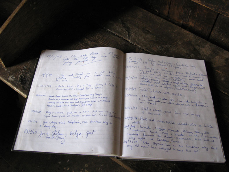
Do take a moment to write in the hut book.
Only joking . . . it was a grand place to stop, even on a sunny day.
Lunch over, we gathered our bags and we were off again.
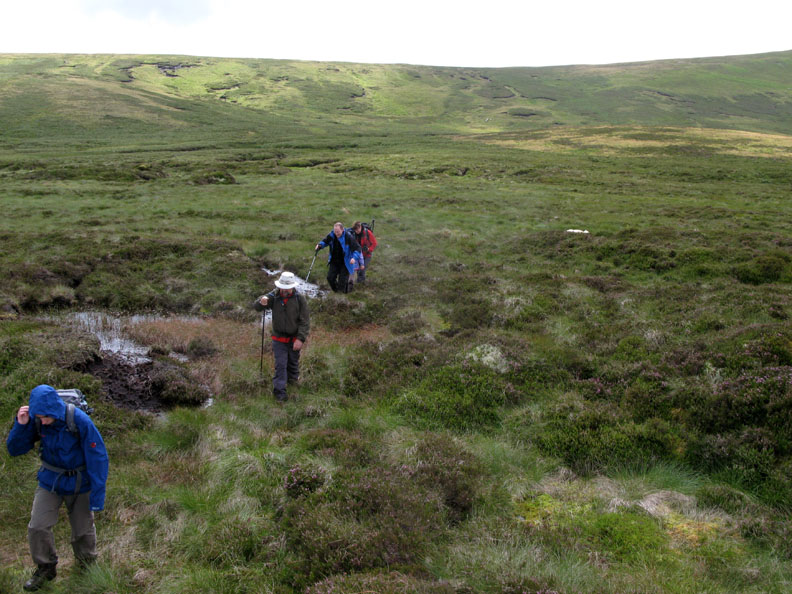
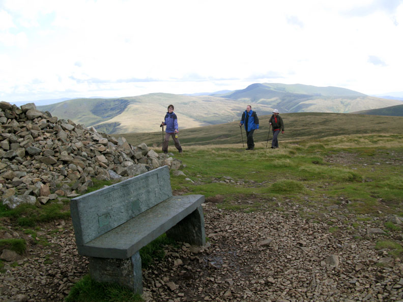
The hut is not shown on the 1:25k map but it is just down from this sheepfold. The path climbs slowly to Hare Stones summit ahead and Carrock Fell is now is shadow away to the right.
That is Skiddaw, and this is . . . the Back o' Skiddaw . . . with Ian, Megan and Jill bringing up the rear.
Cross Fell on the Pennines with Carrock Fell in the sunshine once again. Visibility is pretty good today.
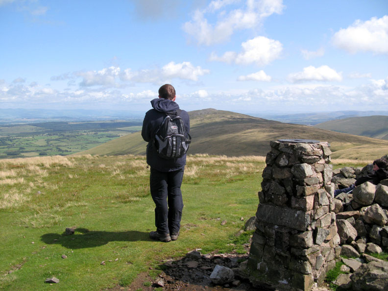
The Slate Chair is ready and waiting as we reach the summit of High Pike. In the background, the crags around Bowscale Tarn and the summits of Bannerdale and Blencathra.
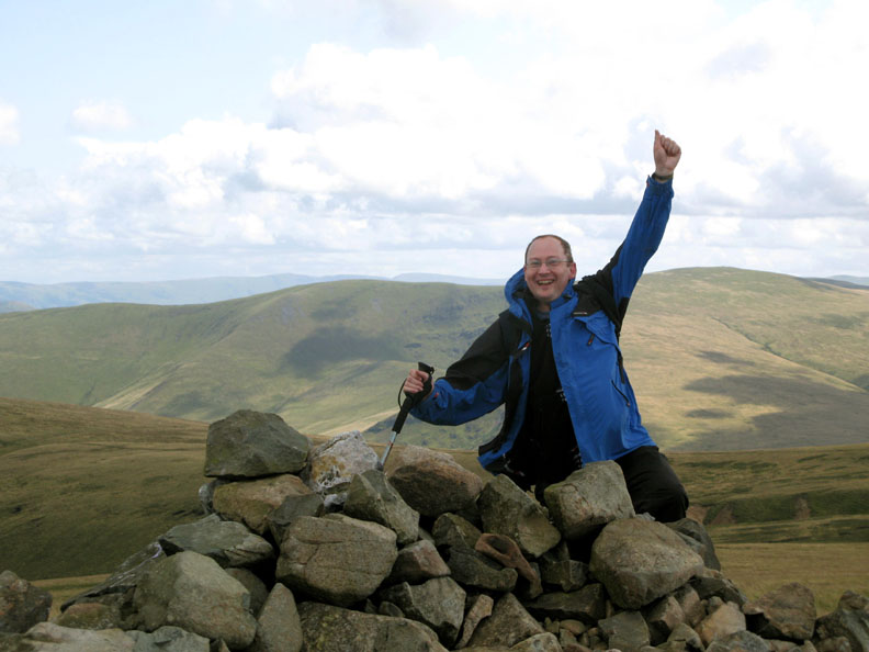
Ian celebrated in " Jill Rowland style" after ticking another fell from his second round of Wainwright Fells.
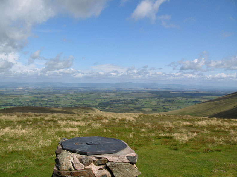
The trig point now converted to a sighting column listing all the fells that can be seen on a clear day like today.
Mark looking out at the view as his brother shelters from the wind by the summit cairn.
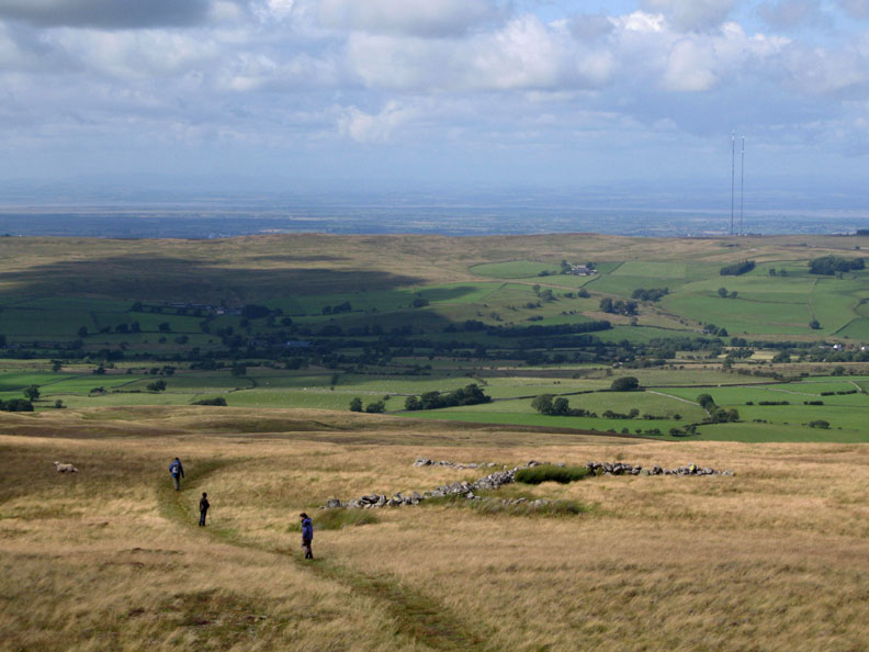
The home leg now as we start our descent back to Fell Side. The twin masts of the Caldbeck Transmitters are once again in view.
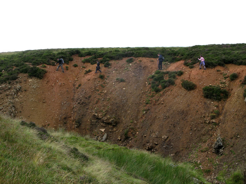
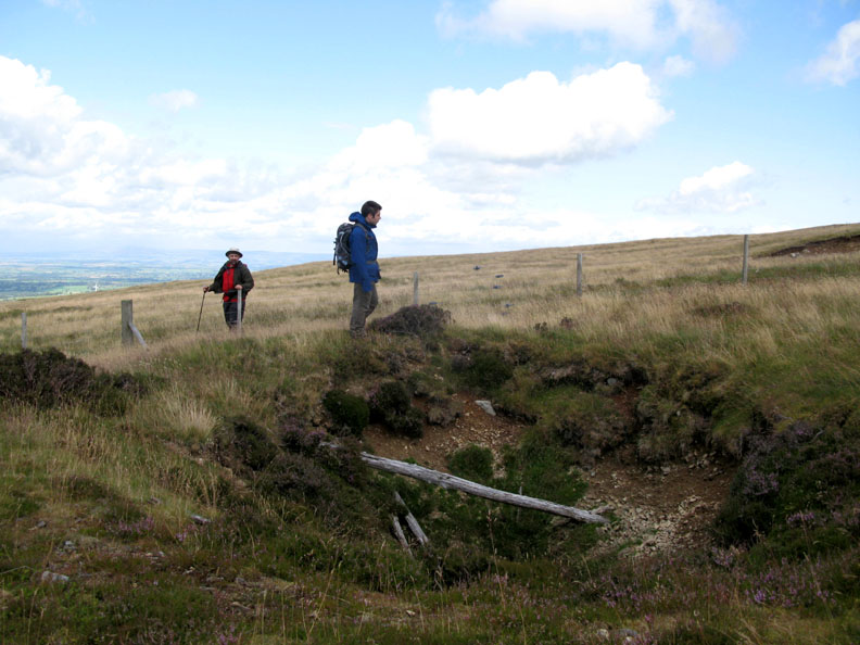
More evidence of mining again as we cross the area known as Deer Hills. Here Richard looks carefully into a collapsed mine shaft . . . but there's no dangerous open pit at this one.
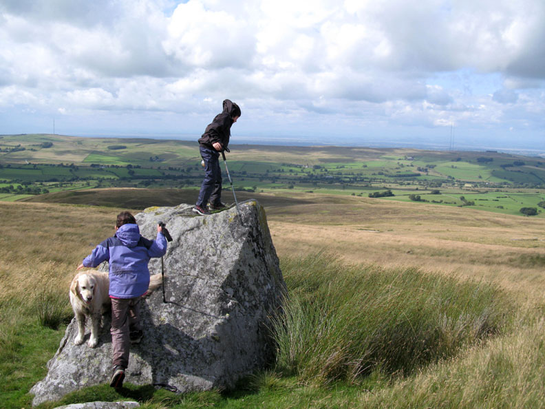
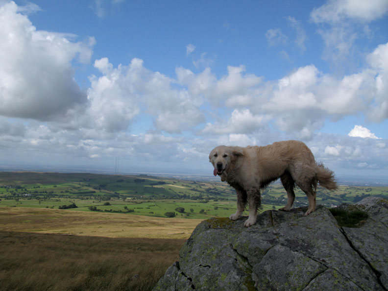
Cory and Megan climb a rather prominent rock . . . make sure you don't get blown off in the wind !
Once vacated, Bethan has a go too, but the sun goes in just as I press the shutter.
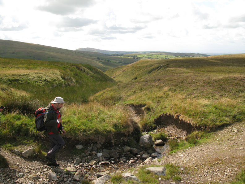
Nigel crosses the top of Ingray Gill . . . the steep sided valley that we first crossed at the start of our walk.
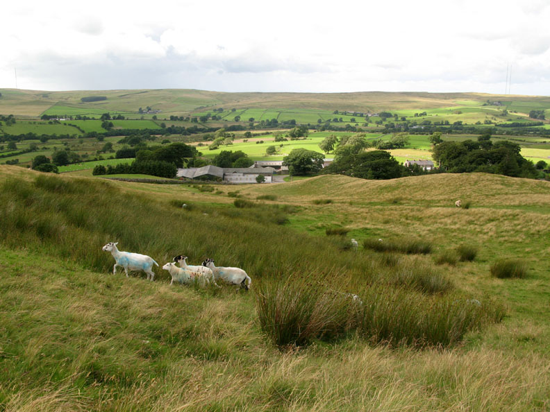
Fell Side village now comes into view at the end of our walk.
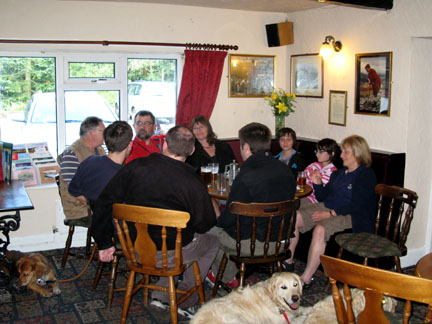
A final photo call of the walk. The names you should know already !
- - - o o o - - - |
Technical note: Pictures taken with with my Cannon G7 Digital camera. Resized in Photoshop, and built up on a Dreamweaver web builder. This site best viewed with . . . a page of explanations of Roughton Gill Valley mine workings downloaded in advance. © RmH.2009 # Email me here # or leave me a Guest Book Entry Previous walk - Saturday 25th July 2009 Family and Fangs Brow A previous time up here - 30th June 2007 High Pike for a not so sunny walk Next walk - Sunday 2nd August 2009 Scafell Pike VSO 3Peaks Event
|