![]()

|
|
|
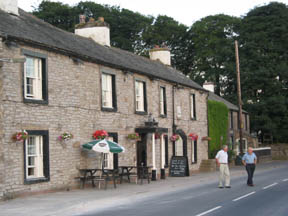
| Date & Time: Sunday 23rd July 2006. 12.15 pm start. Location of Start : The "end of the road" at Sadgill in Longsleddale, Cumbria Uk. ( NY 483 054 ) Places visited : Gatesgarth Pass, Branstree, Selside, Tarn Crag, Harrop Pike, Grey Crag, and back. Walk details : 9.25 mls, 2875 ft of ascent , 7 hrs. Walked with : Ann and the dogs. Weather : Hot and sunny with a cooling breeze, some high cloud giving lovely moving shadows on the hills. The Greyhound Hotel at Shap, passed on the way down, stopped off on the way back. |
|
|
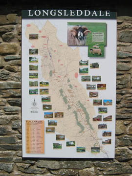
The approach to the start of this walk was a long drive round via Shap and the A6 almost to Kendal, then a delightful four mile drive up Longsleddale, one of the far eastern valleys of the Lake District. The next valley west to Longsleddale is Kentmere, and the left hand skyline as we drove up Longsleddale was dominated by Shipman Knotts and Kentmere Pike, which of course form part of the Kentmere Round which we walked earlier in May this year
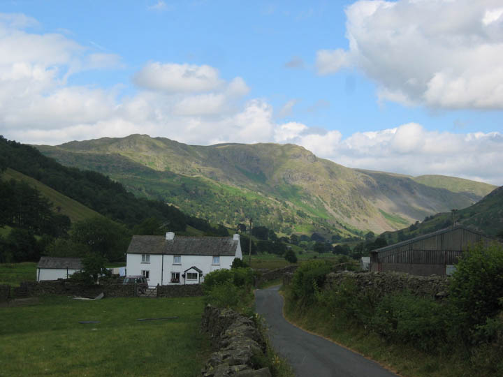
Farmhouse and modern barn at Middale, half way up the valley.
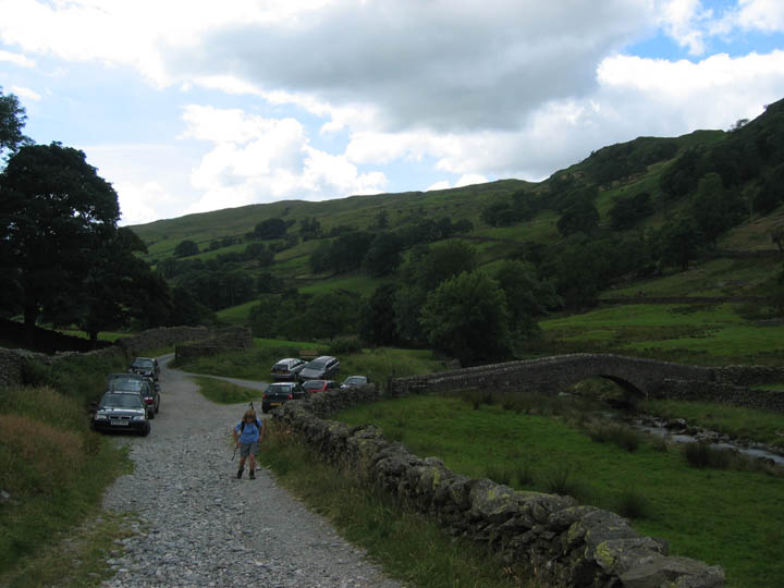
The end of the made road, and start of our walk. Car parking for ten or so cars if everyone parks considerately. This is Sadgill Bridge, with the road over to the farm of the same name, but we will take the rough track on up the valley.
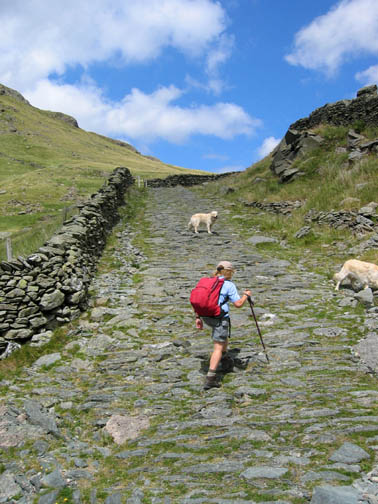
The start of a two and a half mile walk up the valley following the Gatesgarth Road.
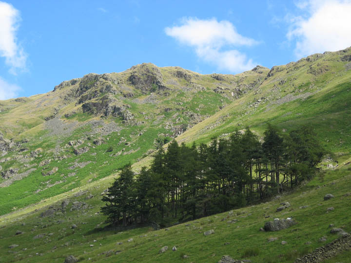
Blue skies, fluffy white clouds, and a typical small Cumbrian hillside plantation In the background are the rocky slopes that front Tarn Crag that we would visit later in the day.
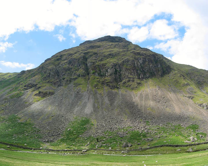
To our left, the imposing hillside of Goat Scar, part of the Shipman Knotts, Rough Crag area.
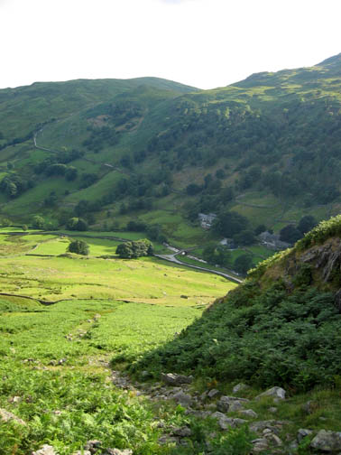
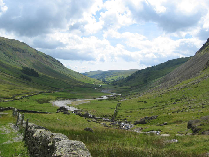
A retrospective view of Longsleddale as we start our climb towards the top end of the valley.
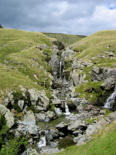
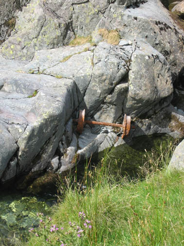
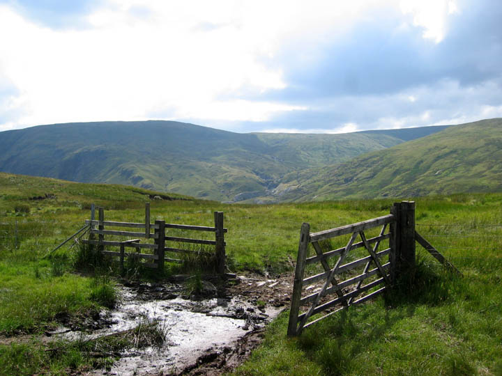
Right is Wet Sleddale, straight on for Gatesgarth and Mardale, and left for the disused Wrengill Slate Quarries. Maybe that's where the wheels came from ?
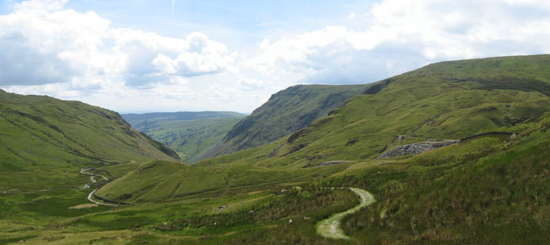
The road now rose rapidly towards the high Gatesgarth Pass, but once past the old mines the width and quality of the surface deteriorated. Over use by four wheel drive users has caused the road to be closed to vehicular traffic earlier this year.
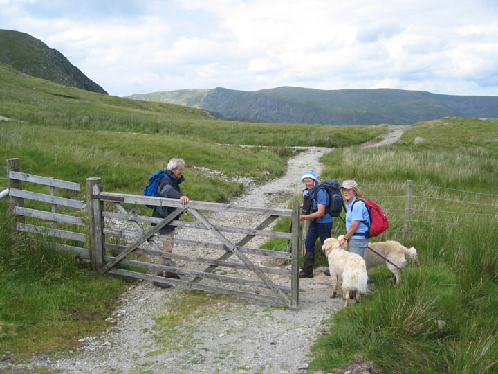
The top gate before the road descends to Mardale. These were two of the very few people we saw on our walk today.
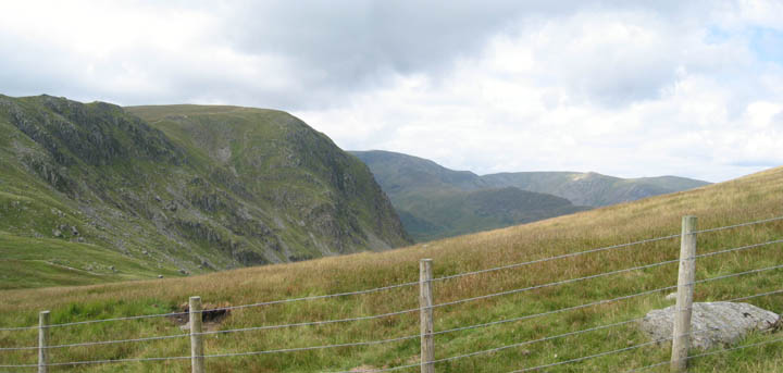
From the top of the pass we struck right and climbed the grass covered slope of Branstree. Over the fence we got our first views of Little Hart Crag, Rough Crag and Kidsty Pike in Mardale.
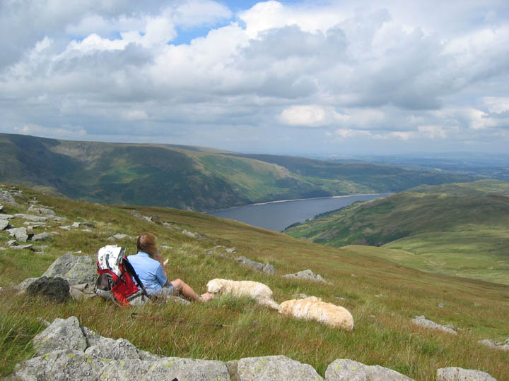
Lunch with a view, Arkle Crags looking down on Haweswater . . .
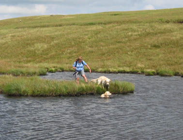
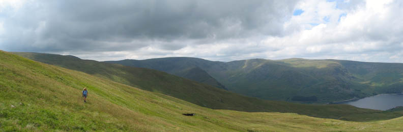
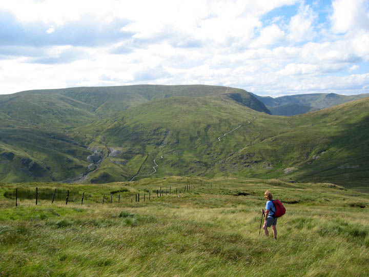
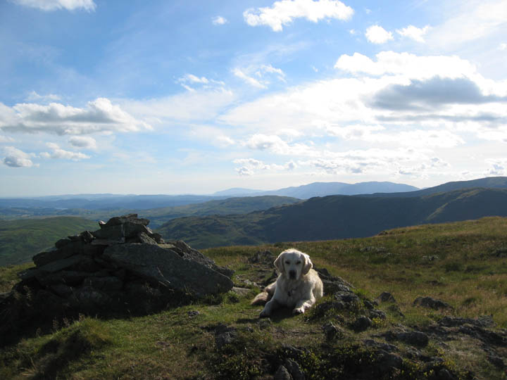
. . . with the prospect of the next section of the walk ahead. Selside, with the cloud shadow on it, is one of the eastern-most Wainwright summits and to reach it there was a mile long, moorland grass walk around the intermediate and un-named hillside. All was not featureless however, as ahead was a tarn for the dogs to cool off and below and to the left of it, just a spec on the landscape at the moment, a structure that turned out to be over ten foot high.
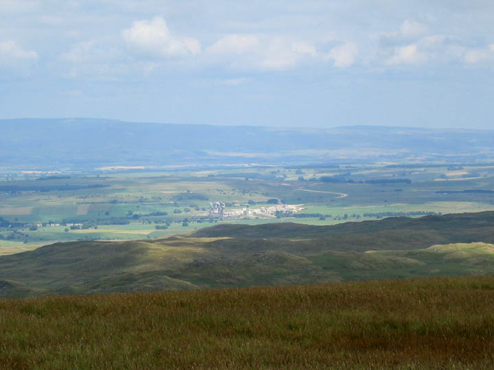
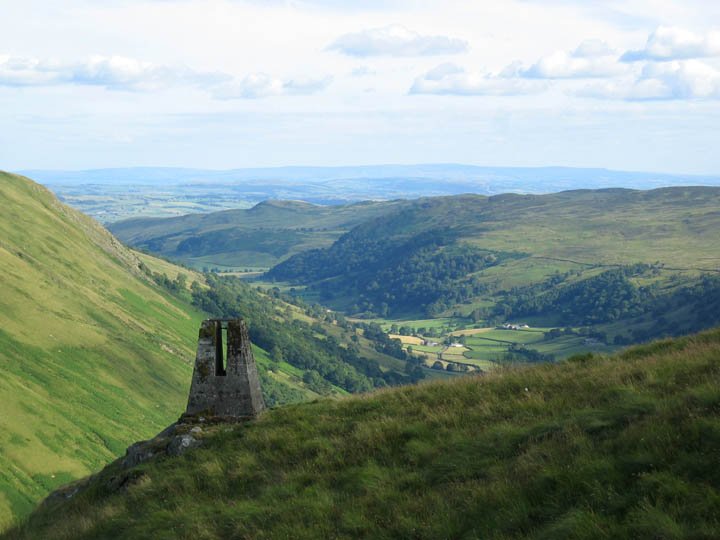
Contouring over from the tarn we had good views back to the High Street / Riggindale Fells and down to Haweswater below. From Selside we also had a fine panorama, not of the Cumbrian Fells, but of the Eden Valley and the Pennines. Below is the Cement works at Shap, the three chimneys of which are a landmark on the M6 south of Penrith.
Click here or on the photo for a full Pennine Panorama
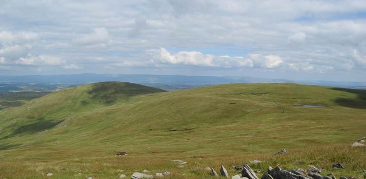
Doubling back now from Selside, and heading for Tarn Crag. The landscape is moorland grass and peat, more associated with the Pennines that the rugged Cumbrian Fells.
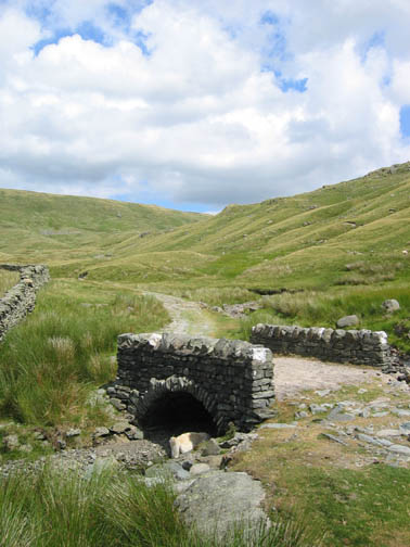
The top gate on the bridal way to Swindale and Wet Sleddale, last mentioned a while back on the signpost in the valley below.
The old, now abandoned Mosedale quarry on the hillside, and a well maintained Mosedale Cottage in the sunshine below.
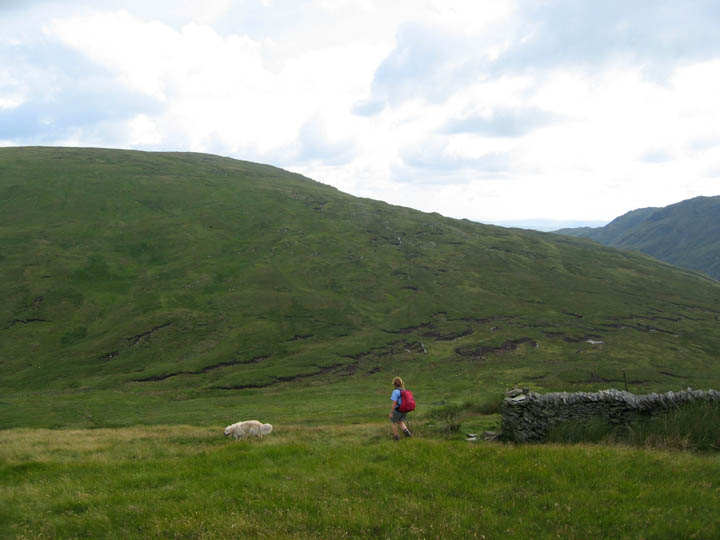
A warm ascent of Tarn Crags. The cloud was thinner now and the sunshine stronger. Ann is looking back at the extensive Wrengill Quarries and the Gatesgarth road as it climbs the pass. Harter Fell is the rounded summit.
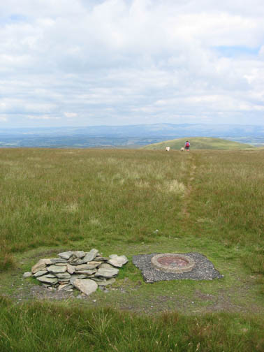
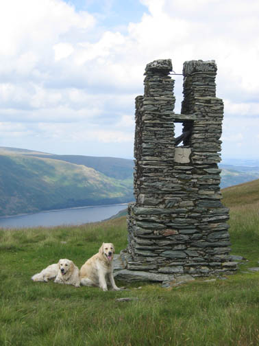
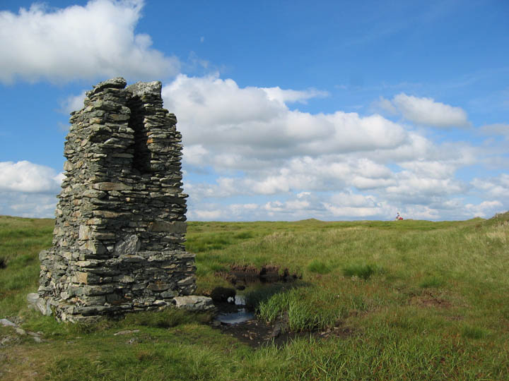
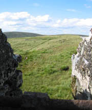
Pillar number two on Tarn Crags, Ann on the small summit cairn a short distance away. The pillar would have had a wooden platform structure surrounding it, the remains of some of whch were in the peat bog pool alongside.
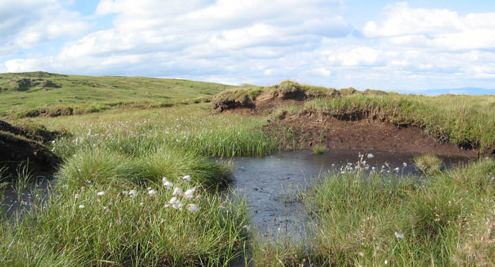
One final diversion east again from Tarn Crags (top left) to Harrop Pike. The recent long spell of hot sunny summer weather has dried the ground which made walking easier. This was one of the few peat holes that contained any amount of moisture, enough to maintain a good growth of Cotton Grass.
Harrop Pike and a second extensive view of the Eden Valley and the Pennines.
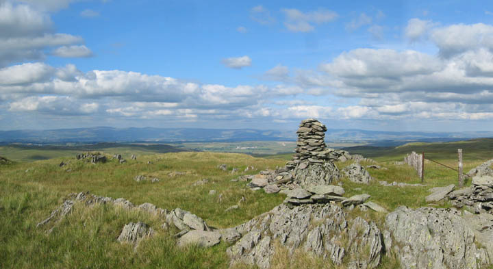
Our final summit, this time Grey Crags. Hazy views allowed us to see the Coniston Fells and Black Combe to the west. Further round (not shown here) we could just see Scafell Pike standing out through a gap in the Kentmere Fells.
A final survey pillar of the day just before our final descent into the valley again. This third one was of concrete construction and only about six feet high.
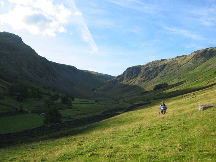
The longer shadows now at the end of a warm and delightful walk in the far eastern fells.
|
- - - o o o - - - Technical note: Pictures taken with a Canon IXUS 400 Digital camera. Resized in Photoshop, and built up on a Dreamweaver web builder. This site best viewed with . . . a dish of Mediterranean Veg at the Greyhound at Shap Go to Top # © RmH # Email me here # Go to 2006 Archive Previous walk - 21st July 2006 Mellbreak on a hot afternoon Previous time up here - 11th August 2000 (sorry no pictures on-line)
|

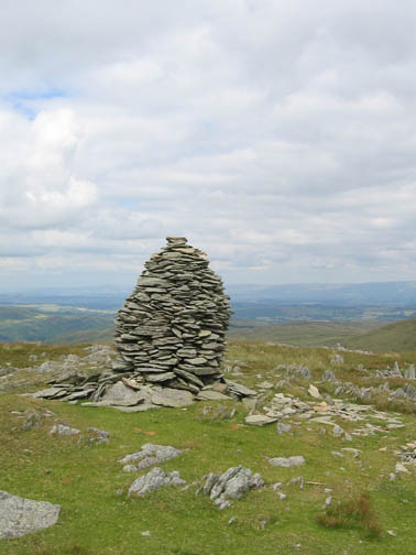

 Tarn Crag
Pillar from Pillar one (looking south)
Tarn Crag
Pillar from Pillar one (looking south)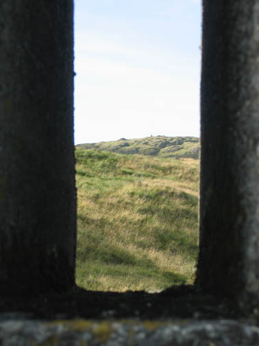 Tarn Crag
Pillar from Pillar three (looking north)
Tarn Crag
Pillar from Pillar three (looking north)