|
|
|
 |
Remember: Press F11 for a
full screen view of this page. |
Web Counter when published 2
139 720 |
|
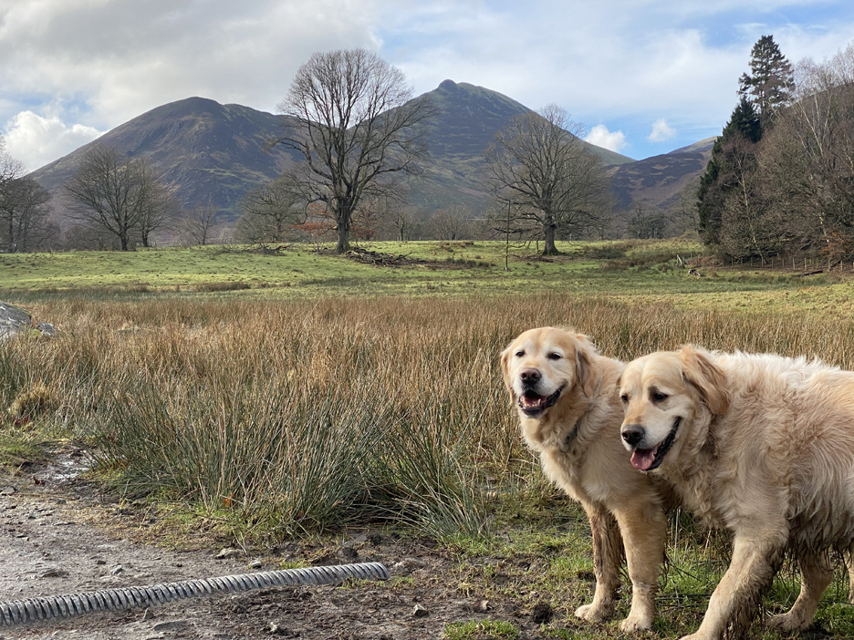
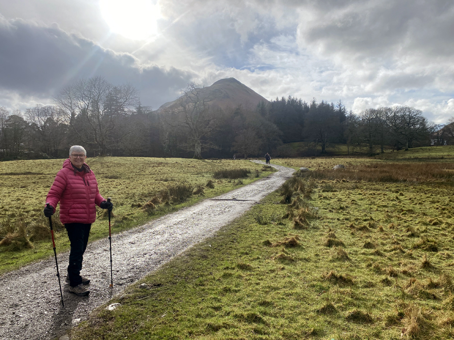
" Lingholm and Catbells Terrace " Date & start time: 10th February 2024. 12.30 pm start. Location of Start : Roadside, just out of Portinscale, Cumbria, Uk. ( NY 252 228). Places visited : Hawes End, Catbells Terrace, Brandlehow Bay, back by the lake. Walk details : 5.6 miles, 650 ft of ascent, 3 hours including a stop at Lingholm. Highest point : On Catbells Terrace, 625ft - 192m. (350 ft above lake). Walked with : Loes and the dogs, Dylan and Dougal, plus loads of other people. Weather : Sunshine and blue skies, fair weather clouds.
|
© Crown copyright. All rights reserved. Licence number PU 100034184. |

|
An extended walk over to and along the Catbells Terrace path, returning via the lakeside which included passing Lingholm Tearooms twice in the day. We didn't take lunch so a slight diversion at the end was an added climax to the walk on this beautiful day.
A starter for ten . . . the view of Skiddaw from the Knoble Knott layby on the Whinlatter Road . . . it was really stunning today. Click here
or on the photo above for a larger,
annotated version
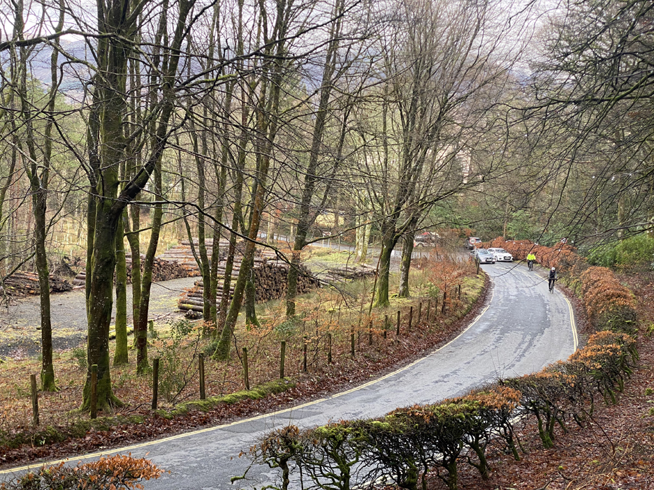
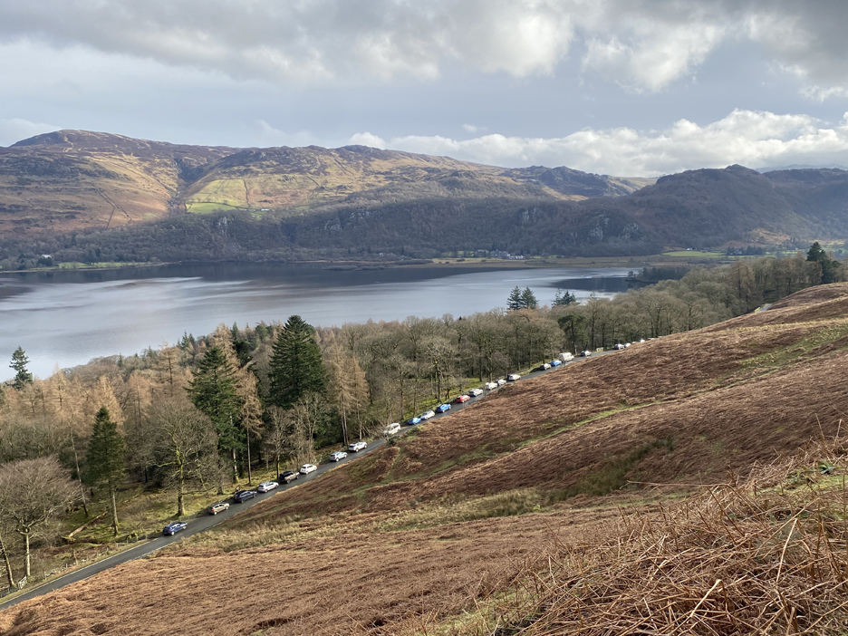
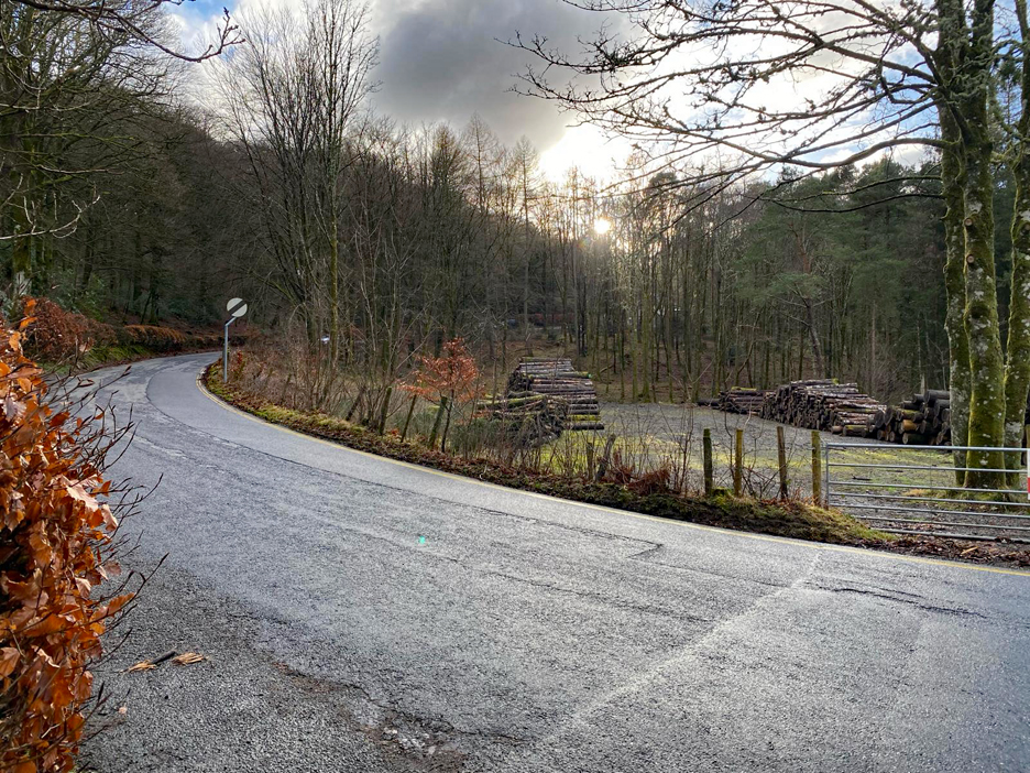
We drove over to Portinscale and parked on the outskirts of the village. We would have parked in the area where the logs are but the Lake District Planners banned it as a Park and Ride spot, or even a simple parking area. The same applied to the field below Catbells. Until they provide a viable alternative, they'll just have to accept people parking on the roads.
There's a good path up and over the hill and down towards Lingholm.
Too close to the start of the walk and too early for lunch . . . so we venture on.
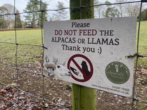
Lingholm has a "Pack of Alpacas" in the field adjacent to the main house.
They look like a cross between a giraffe, a horse and a curly haired Leicester Sheep . . . but in fact they are their own species who's ancestral home is the South American Andes Mountains.
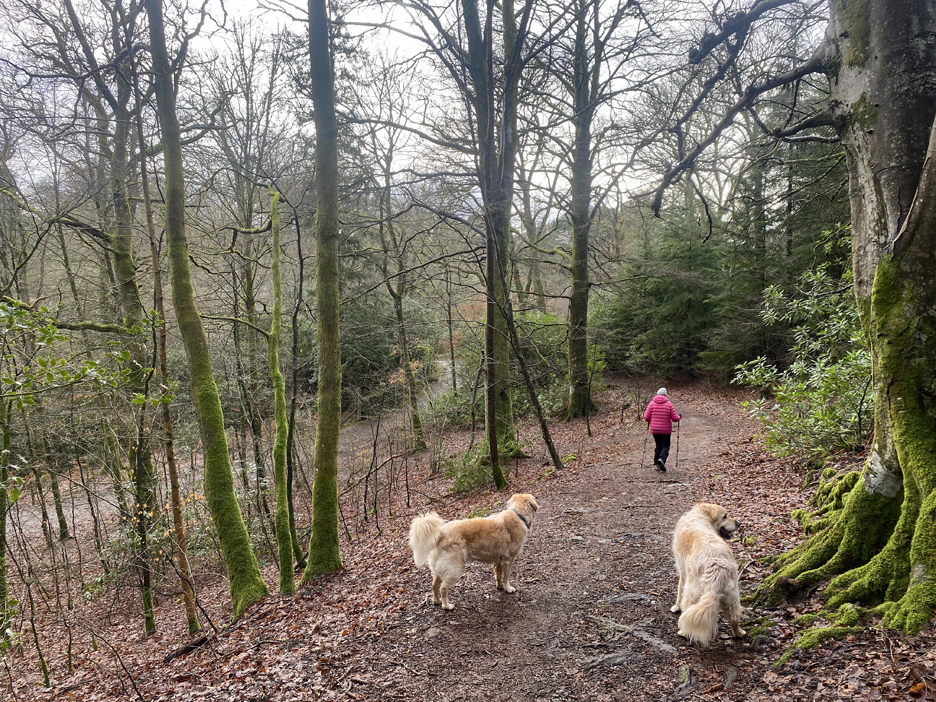
The woodland walk continues on, following the Cumbria Way and Allerdale Ramble walk route through the woods.
In the clearing behind Derwent Bay we gain views of Rowling End and the shapely Causey Pike.
Ahead, across the field, is the start of the climb to Catbells.
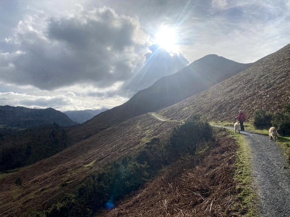
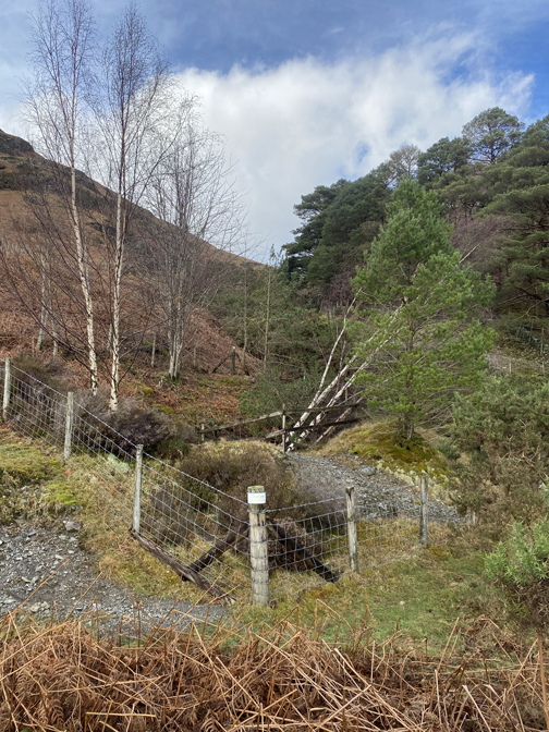
Loes holds the gate as we enter the woods near Hawse End.
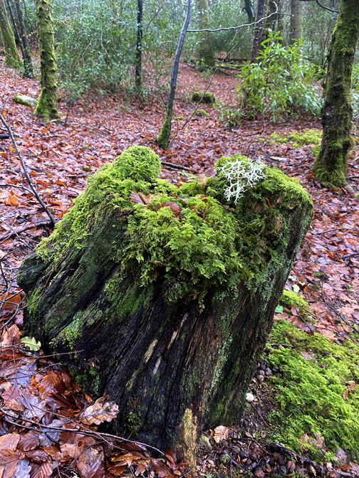
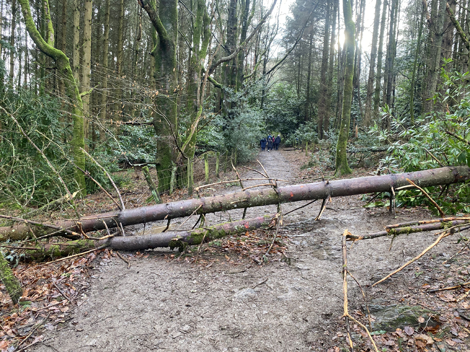
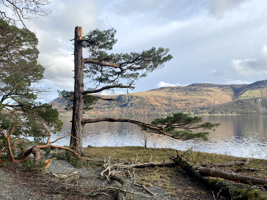
Recent storm damage has left a few obstacles to negotiate.
The path comes out at the hairpin bends below the Skelgill Bank and just up the road is the start of the Catbells climb. The beige roadside sign was advertising the "Lake District Coffee Kart" offering light refreshments and drinks to weary visitors.
Even when only 50 feet above the road, we start to get our first long distance views of the walk. As forecasted, the sun came out and the colours looking across to Skiddaw were beautiful.
Likewise, it was also a lovely view looking over to Blencathra and Walla Crag.
Looking into the low winter sun was a little more awkward . . . but not impossible.
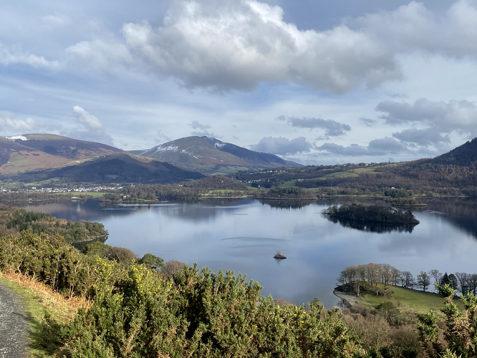
St Herbert's Isle and the diminutive Otterbield Island are clear to see as we walk along.
Amazingly a picture with no other walkers, though there were plenty about, but I remember the outline of the Catbells summit was adorned with little stick men (women and children) all climbing to the top or passing each other on the way down.
Some of them had probably parked down on the road below.
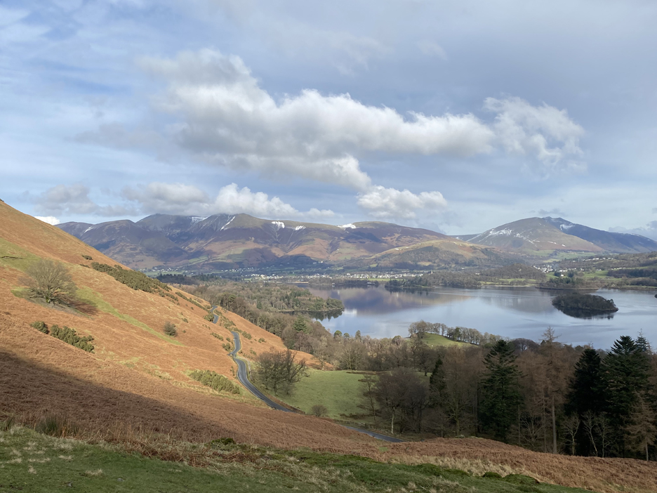
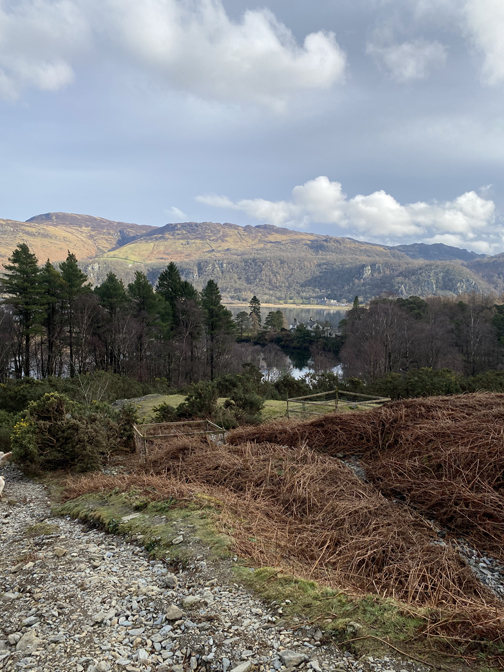
We continued along the Terrace path, which was probably created originally as a mine track. Occasionally signs of spoil heaps and possible mine entrances could be seen close by.
Half way along, the path dips to the road above Brandlehow Bay. We're in shadow of a passing cloud but Troutdale and the Grange fells stand out in the sunshine. Kings How and Great End complete the picture at the top of the valley.
Lodore Hotel can be seen on the opposite shore, but it is the house on Brandlehow Point that stands out today. We'll leave the Terrace here, cross the road and take the path down to the lake shore.
The bare stone scree points to lead mining and the white sign on the fence posts confirms the existence of quarries and broken ground.
- - - o o o - - - Ian Tyler in his book on Lake District Mines mentioned that this was a large and productive lead mine working down to 75 fathoms (450ft), way below the level of the lake. Water ingress was always a problem and with the lack of surface water power, the mine had to use steam power to keep the mine clear. The smart cottage nearby was the Mine Manager's house and between it and the shore there was the site of the substantial engine shaft and wheel. There was also a subterranean salt water spring, which gave its name to one of the seven mine levels below ground. The the mine eventually closed in 1891. - - - o o o - - -
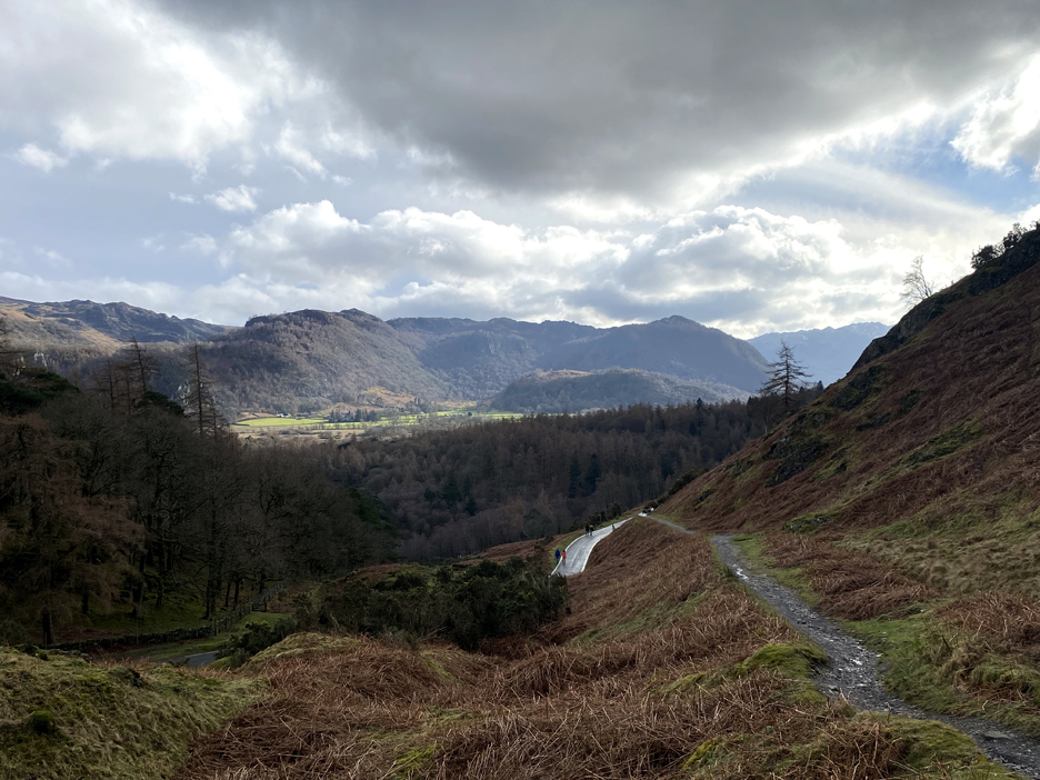
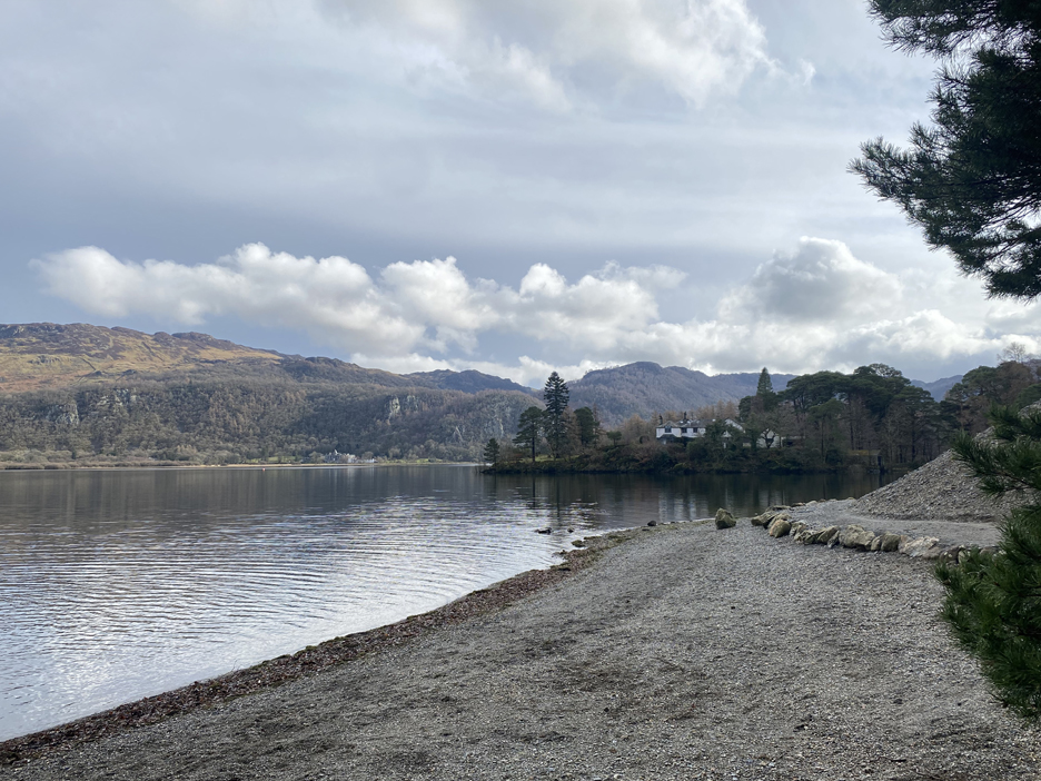
The path follows the valley down to the lakeside.
We're down on the beach in Brandlehow Bay. The edge of the extensive spoil heap from the mine can be seen behind the tree on the right.
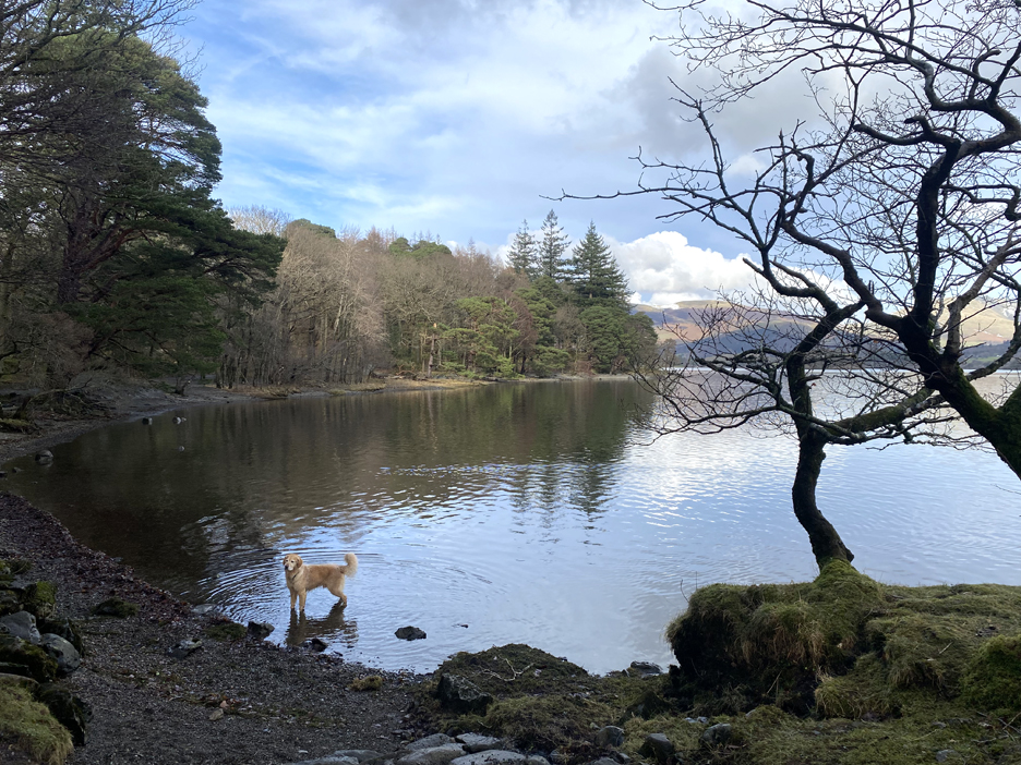
The dogs were enjoying a swim . . . but they were not my dogs for a change !
The Derwent Launch must be doing a winter service. It appeared from Portinscale Direction and slowed for the pier, but didn't stop due to lack of people needing to get on or off.
We walk on, reaching the lesser known Wythesike Bay.
Storm damage again, this time to a Scotts Pine on the lake shore.
Two plastic boxes adjacent to the path are probably people counters . . .
. . . so they know how many people would be sad at the disappearance of the "Wooden Hands" Sculpture that used to be close by. It marked 100 years since the handing over of Old Brandlehow Woods, to become the first National Trust Property open to the public. The plaque is still there. Hopefully they will find something to replace the decayed artwork that used to exist.
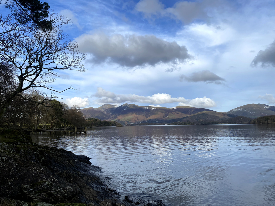
The Victoria Bay landing stage, with a long distance view of Skiddaw and Blencathra across the lake.
After Hawes End we re-enter the woods, passing the same obstacles, but this time on the way back.
On the other side of the sign were . . . people feeding the Alpacas ! But these folk were on an official 'Alpaca Walking Experience' and had been give the right food for the animals by the Lingholm staff.
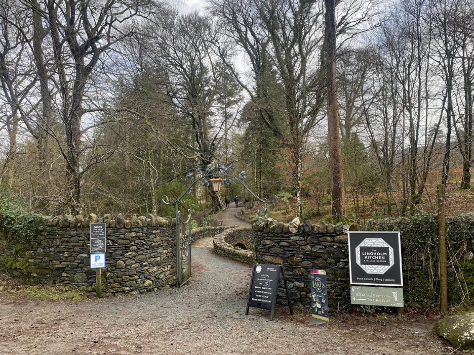
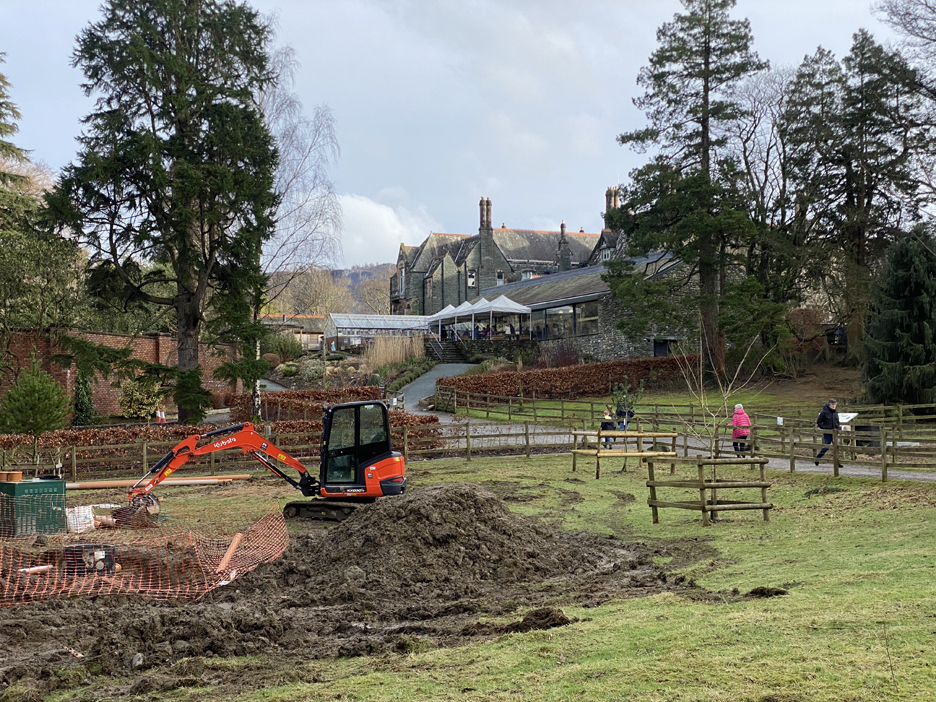
You can pass a notice about a tearoom once . . . but surely not twice. Consequently we diverted through the grounds and headed across to the Lingholm Kitchen Tearooms.
Major drainage work is underway in the grounds but the cafe is open and very busy this Saturday afternoon.
From our outdoor table, where we indulged in a late lunch of soup and thick sour-dough bread, we looked over the Walled Garden below the veranda.
Their garden is looking a bit more organised than mine . . . there's kale, sprouts and new season onions in view. The net over the whole garden area is to keep out the birds.
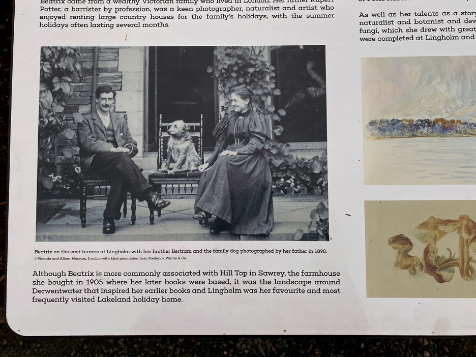
One of the signboards within the garden.
After lunch we continued on, taking the woodland path passing Fawe Park House, its Lodge and gardens behind the tall fence.
Round the corner is the Nichol End Marina and another cafe with outdoor seating also on offer.
The Marina backs onto the Portinscale Road, so it was just a short walk up the hill back to the car at the end of our walk today. - - - o o o - - - Technical note: Pictures taken with my iPhone 11pro mobile phone camera. Resized in Photoshop, and built up on a Dreamweaver web builder. This site is best viewed with . . . a bowl of rich, warm soup close at hand. Go to Home Page . . . © RmH . . . Email me here Previous walk - 6th February 2024 - Stanger Holy Well, Lorton A previous time up here - 20th October Catbells with Cathy and Mark Next walk - 11th and 18th February 2024 - Raven Crag with The Mob
|