|
|
|
 |
Remember: Press F11 for a
full screen view of this page. |
Web Counter when published 2
139 080 |
|
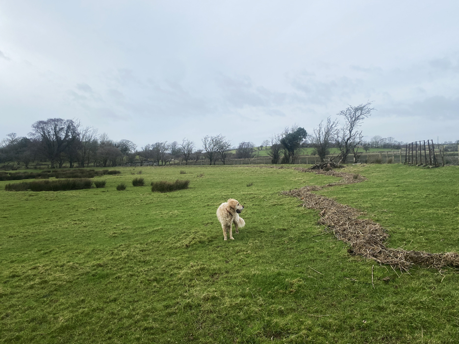
" Holy Well at Stanger - near Lorton " Date & start time: 6th February 2024. 2 pm start. Location of Start : Roadside just out of Lorton, Cumbria, Uk. ( NY 153 263). Places visited : Stanger Spa (Holy Well) and Stanger How. Walk details : 3 miles, 100(?) feet of ascent, 1 hours 25 mins. Highest point : Stanger How, 256ft - 79m above sea level (some 50ft above the river). Walked with : Myself and the dogs, Dylan and Dougal. Weather : Overcast but dry.
|
© Crown copyright. All rights reserved. Licence number PU 100034184. |

|
Today I waited in for the boiler man to service the heating just to find it had a fault and he had to come back the following day. That wrote the morning off, but at least I got a few jobs done and I had chance to head out on a local walk after lunch. I haven't been to Stanger for several years and it's normally an easy walk on the flat . . . time to do it again.
The diminutive gill which has travelled the short distance across the valley turns here, and heads away to the main river. The gate next to it and the most northerly house in the village, gives access to the public footpath across the fields towards Stanger.
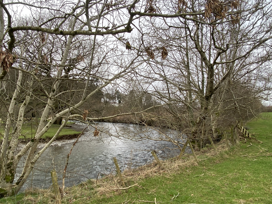
The River Cocker in quiet mood today. We've had a lot of rain in recent weeks but the last few days have been reasonably dry,
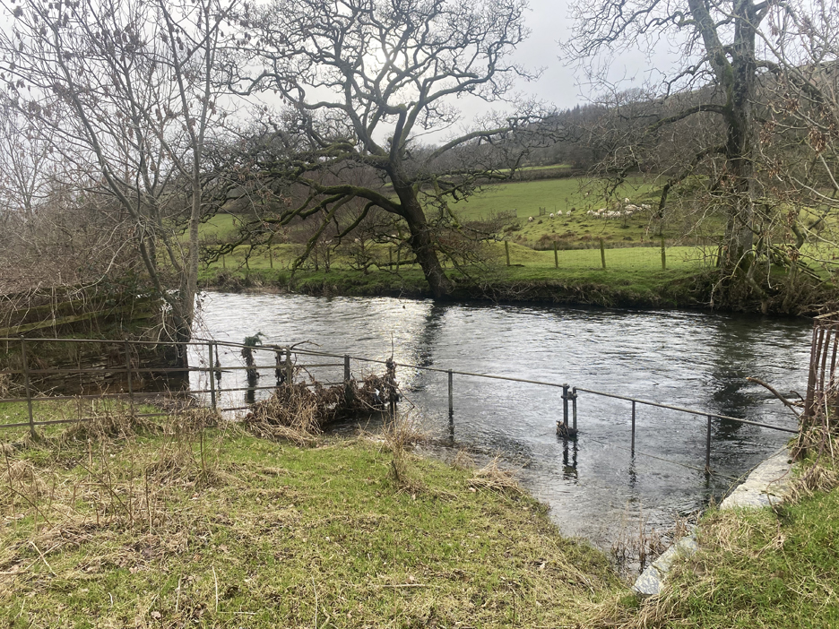
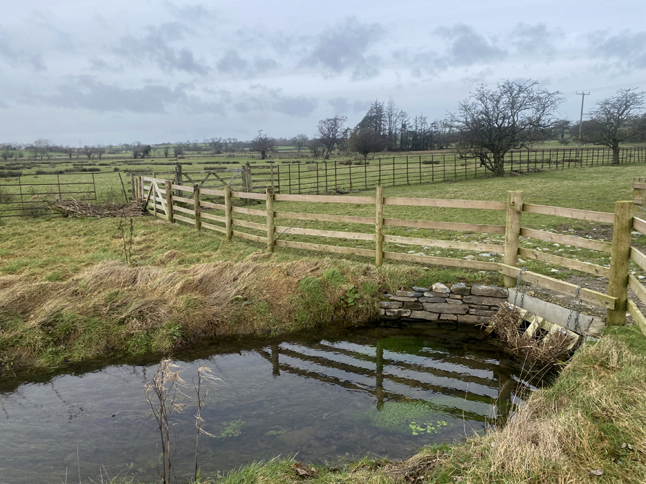
An old masonry-edged access to the river, presumably for animals just to access the river as there's no equivalent structure on the other side.
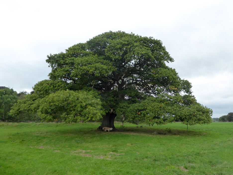
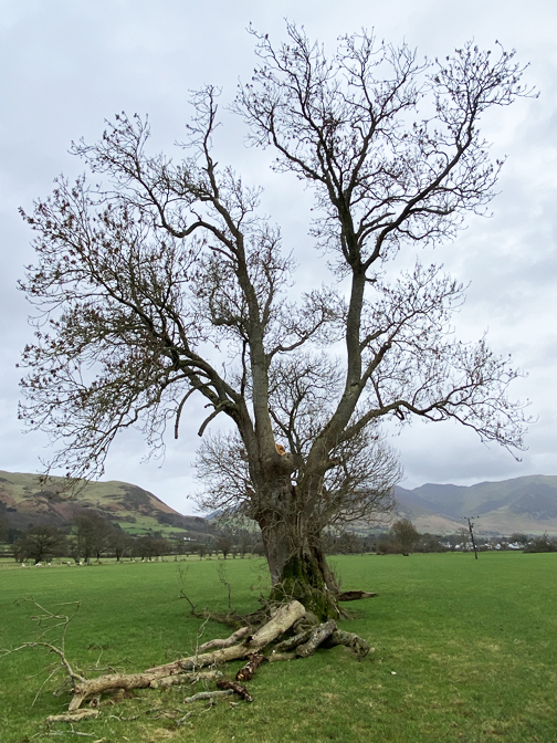
This fine old oak tree has been decimated by recent storms.
I hope it wasn't this one which I photographed on my previous walk in 2011
The footpath follows the ancient field boundary, a line now only identified by the sequence of trees.
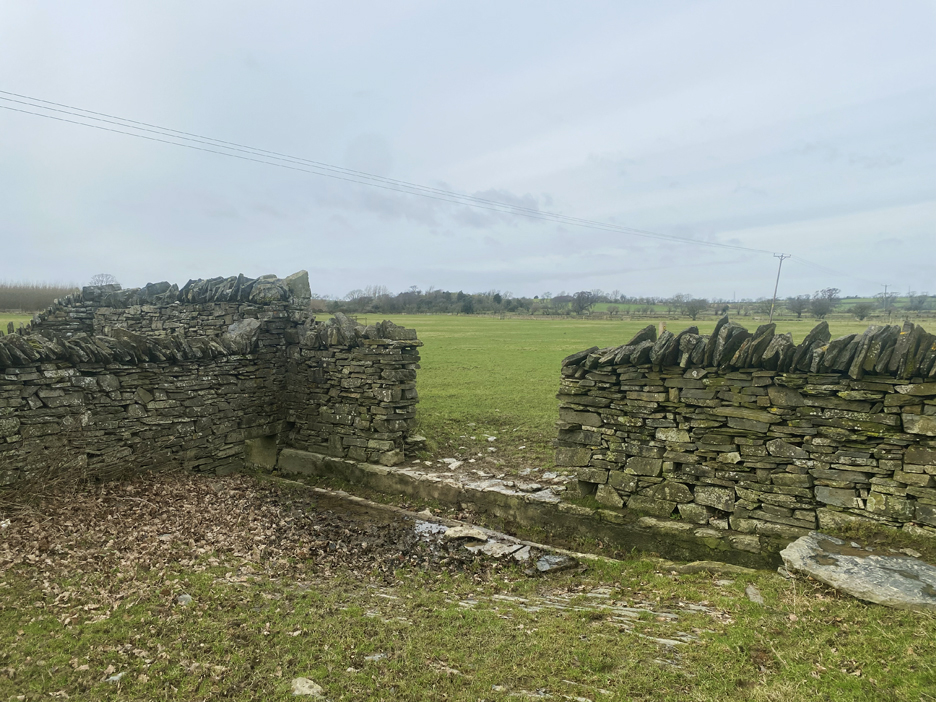
Seen in the previous photo, the dry stone wall ends in the middle of the valley and has a trough and open gateway. I felt like a local shepherd, directing the dogs to walk through the gap not around it !
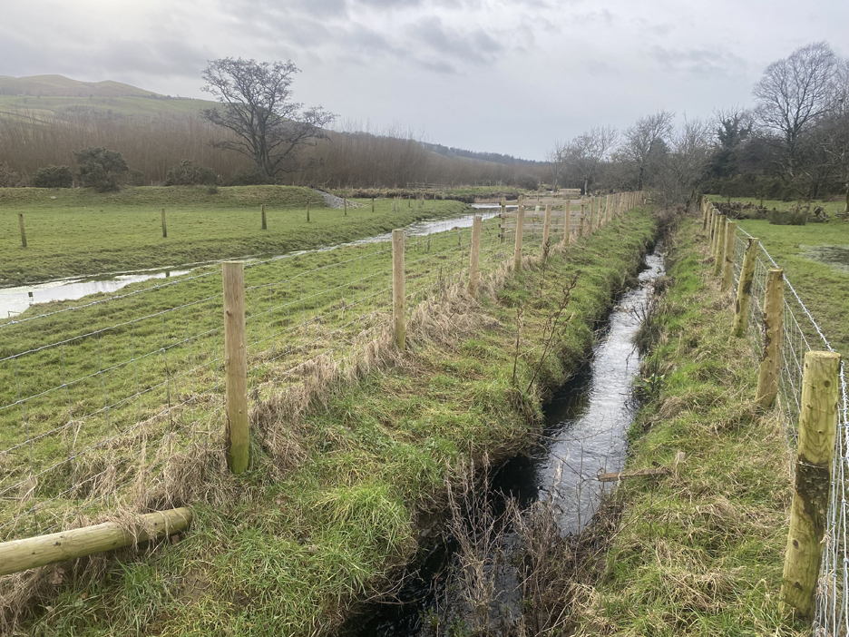
The trough was part of the early drainage of the meadows in the valley, but in recent years there has been a new and open drainage system built to clear away the excess water from the fields.
The recent weather has given a lot of rain and, despite the new water channels, the fields are still very wet. The footpath takes a diversion here, following the fence line rather than continue the previous linear route across the valley. I wondered why until I realised that the path followed the high ground . . . it was even wetter away to the left.
Well I followed the footpath on the map and had confirmation of the route from the sign posts. Unfortunately the signs didn't indicate the nature of the water ahead . . .
I had by walking boots on but would have needed tall wellies or even waders to follow the official path to the other side. I had to look around for an alternative if I was to reach the Holy Well.
A wider diversion around the other side of the field and we were across and on to higher ground. This small hill I know as Stanger How, which included this small quarry presumably for building or walling stone in times past.
Some major hedge work going on where the farmer has replaced the fence, but sadly there seems little effort to re-lay the hedge. Spring is in the air and here on the adjacent tree the catkins are out, their colours muted by the overcast nature of the day.
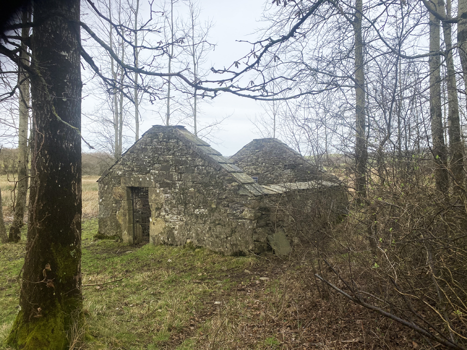
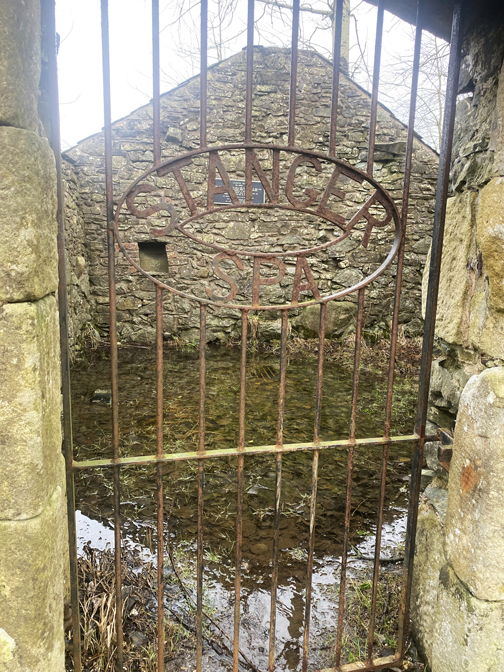
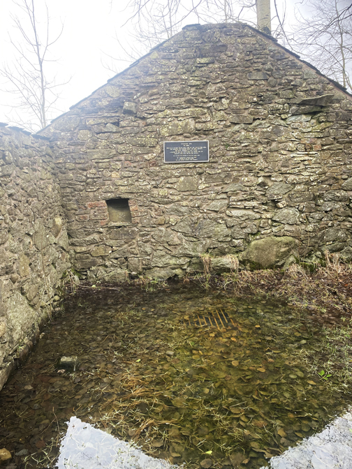
Made it . . . the old building that houses Stanger Well.
Today you just need a bucket and some wellies.
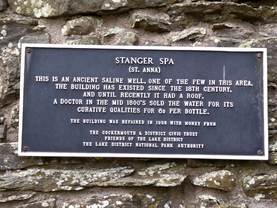
The sign on the back wall explained the history of the site.
Time to be heading back, I climbed the How once again and had misty views over to Whin Fell and Fellbarrow.
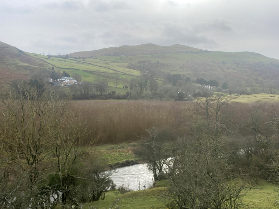
The Lorton Valley , looking south to the Whinlatter Pass, Grisedale Pike and Hopegill Head. The brown trees on the other side of the river are Willow, presumably grown as a bio-mass fuel crop.
No wonder everything is wet . . . this is the flood line, seemingly from a few weeks back , when the river must have reached all the way across to this point.
That would explain the unusual debris build-up on the 'downstream' side of this bridge across the new drain.
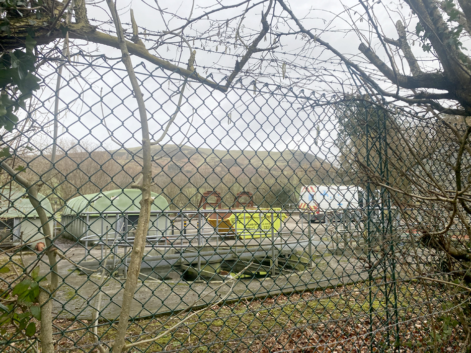
A slight diversion on the way back, into the lane past the local waste water treatment works. I thought it would be less muddy . . . but I was wrong again.
Back to the car, but I took a quick walk just the extra 50 yards to clean my boots in Wythe Gill. This meant that the car mats did stay a little cleaner than they otherwise would have done. I'll give the dogs a wash to get rid of their mud when I get home. - - - o o o - - - Technical note: Pictures taken with my iPhone 11pro mobile phone camera. Resized in Photoshop, and built up on a Dreamweaver web builder. This site best viewed with . . . Go to Home Page . . . © RmH . . . Email me here Previous walk - 27th January 2024 - Surprise Mellbreak A previous time up here - 14th October Cellos and Stanger Holy Well Next walk - 10th February 2024 - Lingholm and Catbells Terrace
|