|
|
|
 |
Remember: Press F11 for a
full screen view of this page. |
Web Counter when published 2
063 560 |
|
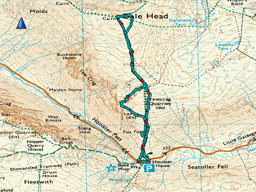
" Dale Head for a Winter View " Date & start time: 7th March 2023. 10.30 am start. Location of Start : Honister Hause, Honister, Cumbria, Uk. ( NY 225 135). Places visited : Honister, Dale Head, Dale Head Crags, Yew Crag Quarry, and back. Walk details : 3 miles, 1300 ft of ascent, 2 hours 20 mins. Highest point : Dale Head Summit, 2,473ft - 753m Walked with : Myself and the dogs, Dylan and Dougal. Weather : Sunshine, blue skies, snow on the tops.
|
© Crown copyright. All rights reserved. Licence number PU 100034184. |
|
Cold weather has been forecasted with falling snow for Scotland and the north east coast of England today, so when I saw beautiful sunshine and snow on our tops here in Loweswater I headed up the valley to find the most accessible summit with the best views . . . Dale Head
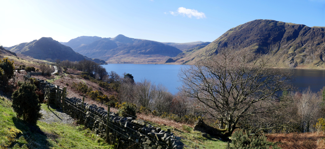
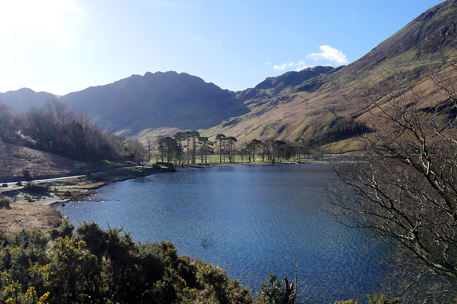
Crummock Water looking south towards Rannerdale Knotts, High Stile and Red Pike, with Mellbreak to the right.
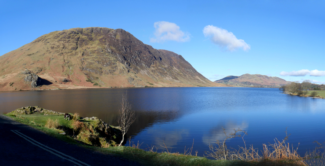
At Hause Point, underneath Rannerdale Knotts, I pause again to look back down the lake . . . such a beautiful day.
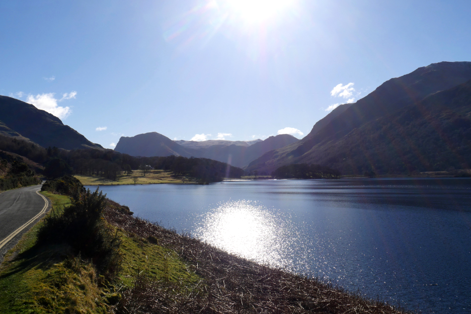
Round the corner and you see the first view of Fleetwith Pike, Brandreth and Haystacks at the head of the valley.
The Buttermere Pines, always worth a stop along the way to photograph these as well.
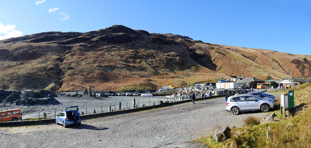
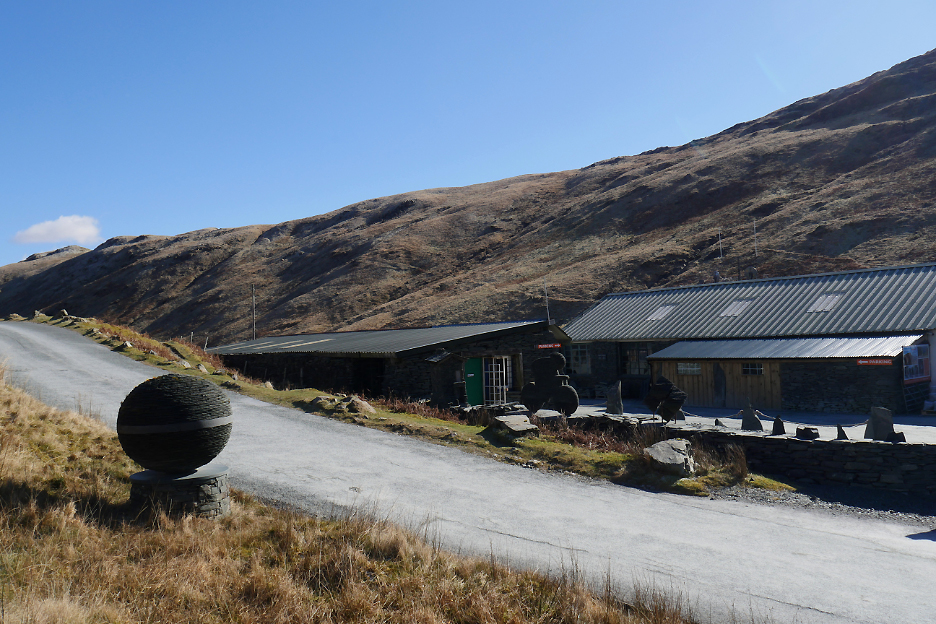
A 700 foot road climb found me at the top of Honister Hause, home to the Honister Slate Mines and Quarry buildings. The larger gravel area is the storage and working area for the slate production, the area this side of the wall is the National Trust car park.
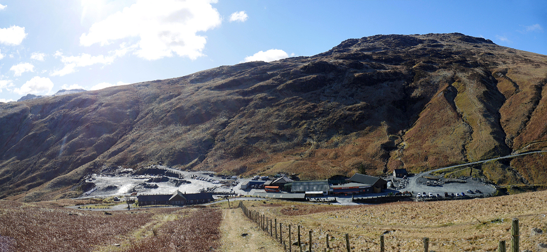
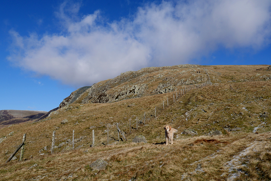
The dogs and I head across the road and up the fell side. Our route is a virtual straight line, 1.1 miles due north, give or take a bit of meandering.
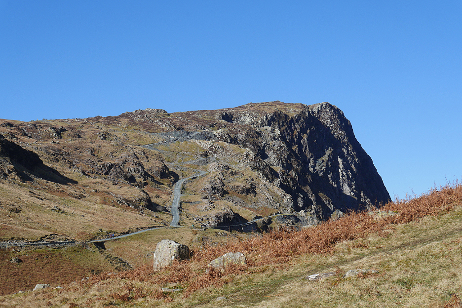
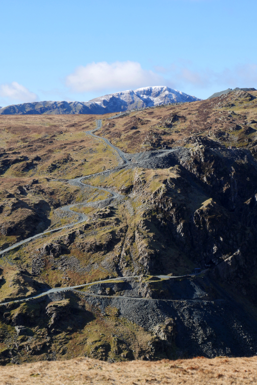
Opposite, the Honister Quarry Track leads up towards Black Star and Fleetwith Pike. Those zig-zags host a vintage car 'hill climb' during the second weekend in November each year.
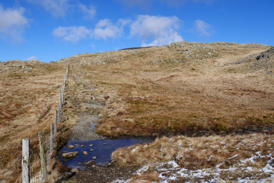
Route finding to Dale Head is easy . . . just follow the fence and keep heading up.
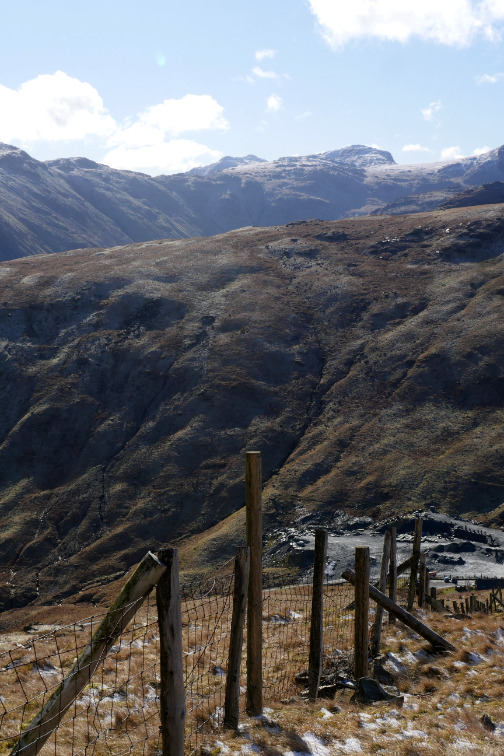
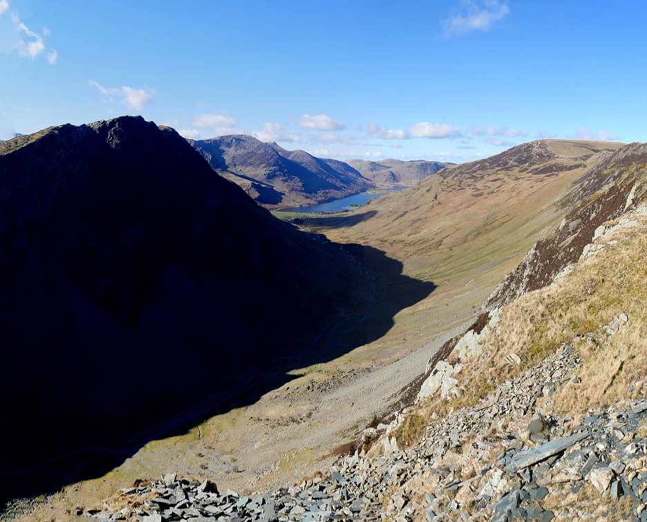
There are odd gaps in it due to its age and it was through one of these that we crossed for just a short distance in order to get a clearer view down Gatesgarthdale to the Buttermere Valley.
The snow is starting to get consistent amongst the grass and with the cooler temperatures up here a layer of ice has formed on this peaty pool stretching across the path. . . the stones are used for crossing so the ice is still intact.
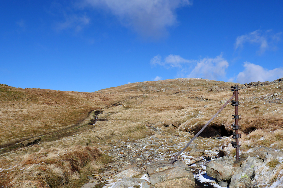
Further up the sheep fence ends, but we keep going and find the traces of the old Victorian fence line represented by the substantial iron posts seen here. The dark brackets on it were for tensioning the iron fence wires when it was built.
Looking away to the east, the distant Helvellyn Range is topped with snow and it looks delightful.
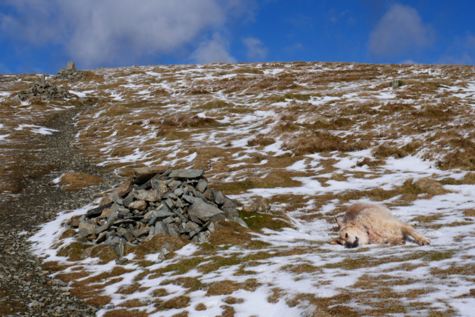
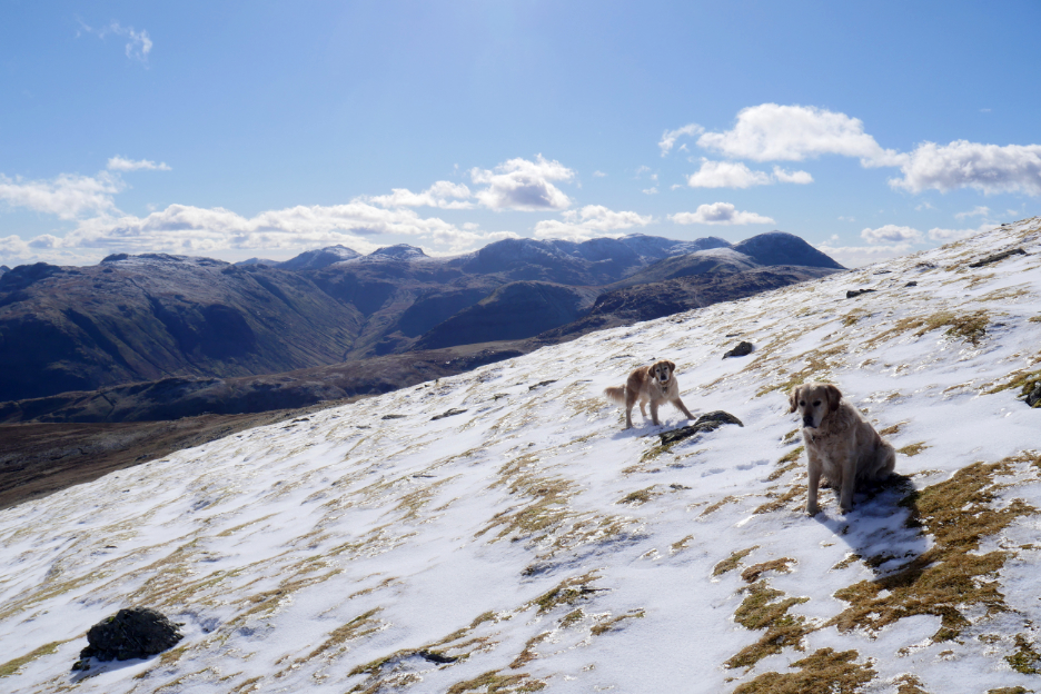
Dylan is full of beans and rolls in the snow, just to appreciate the joy of doing so ! Depending on your type of computer system, hold your cursor over the picture and he might get a bit animated . . . .
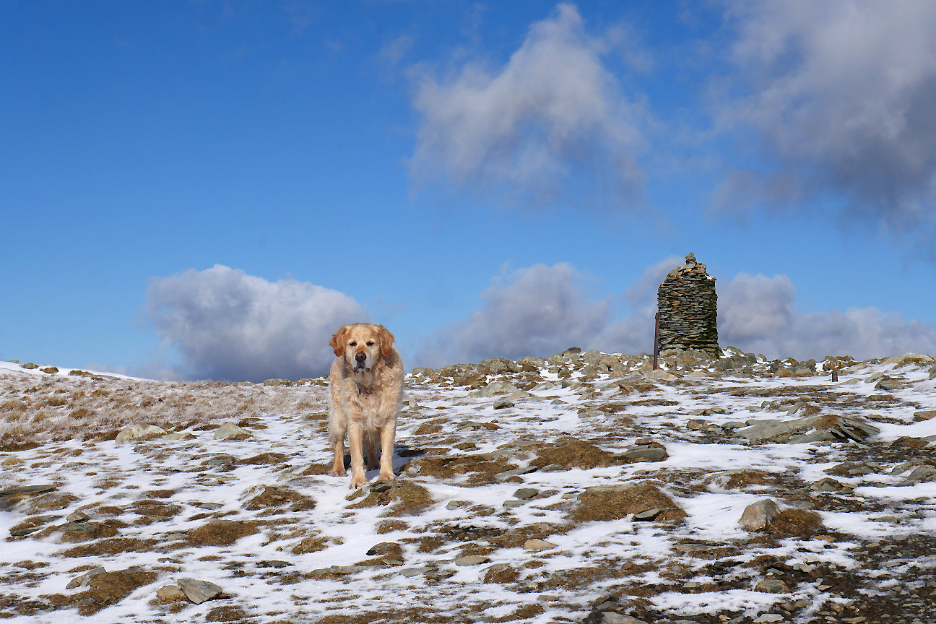
Dylan's upright again and reporting that the summit is within sight.
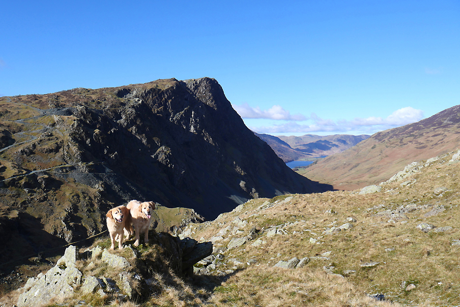
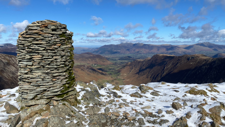
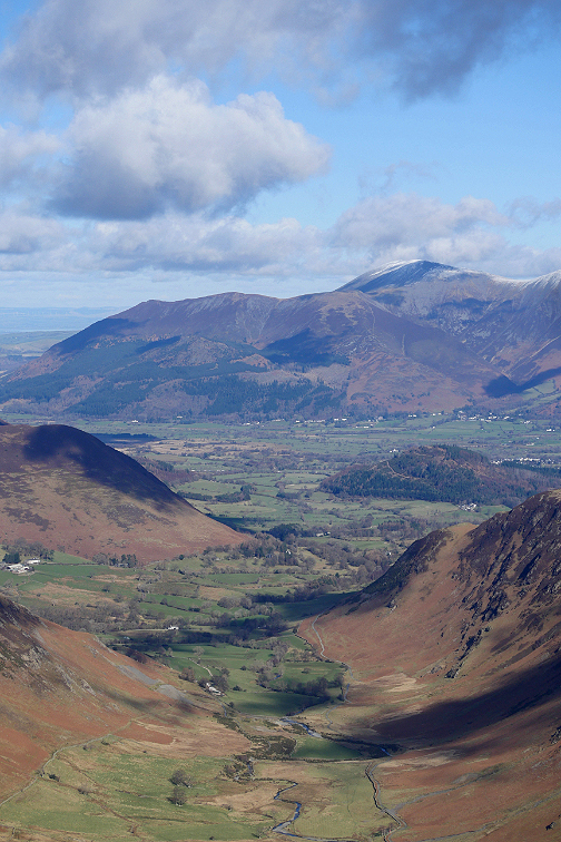
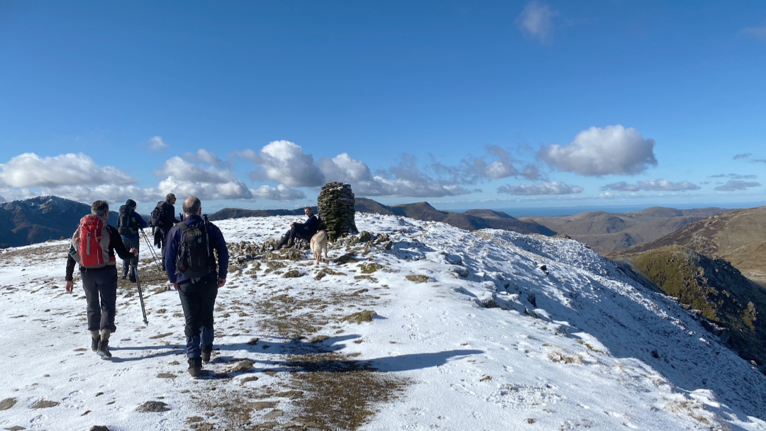
The classic view of the Dale Head Cairn, with the view behind looking down the length of the Newlands Valley toward Skiddaw.
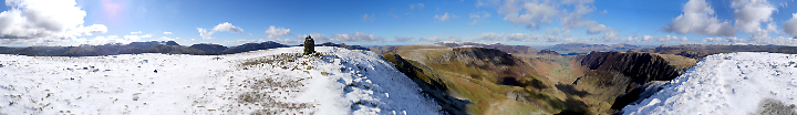
Up here we are properly above the snow line and I spend probably ten minutes just soaking in the views all of which I had eagerly anticipated on the way up. Click here or on the photo above for your chance to see the full 360 degree annotated panorama that I did.
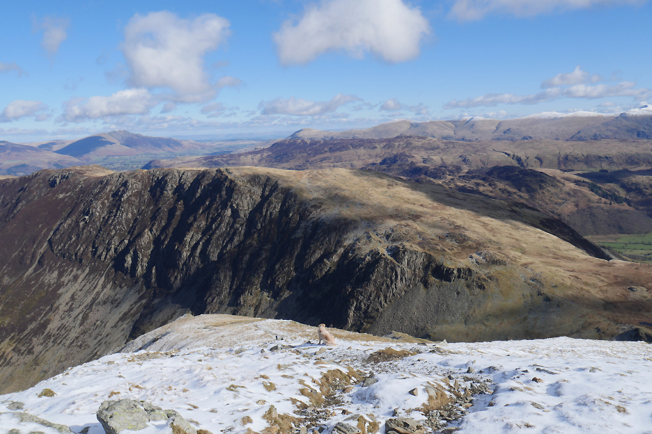
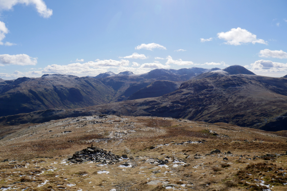
The summit to myself at the moment as I look across to the north western fells.
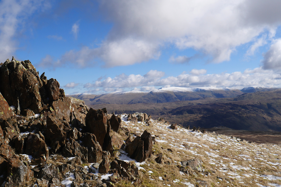
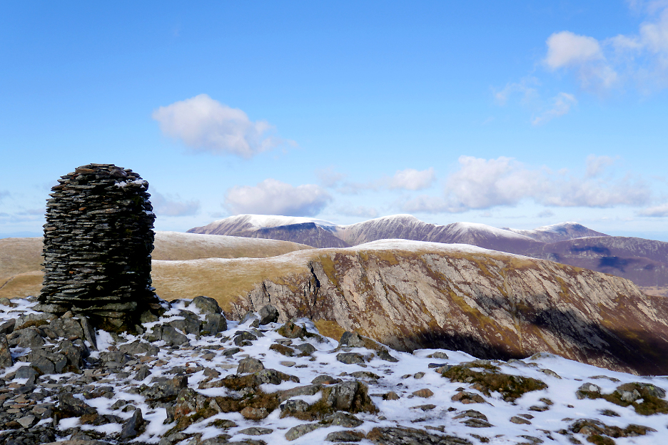
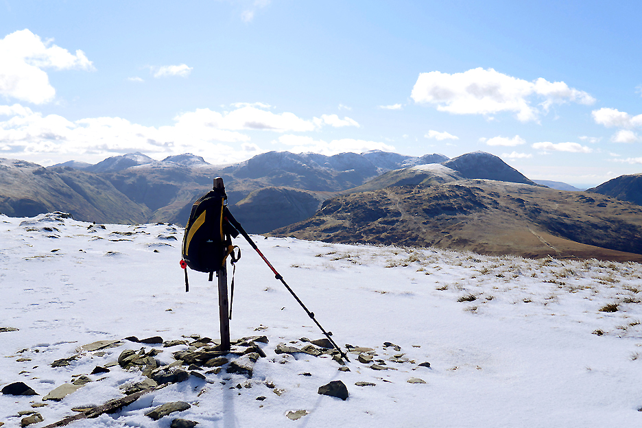
Behind me the high Central Fells of Cumbria, from Great Carrs near Coniston (left), to Bowfell, Esk Pike, and around to The Scafells and Great Gable. I rest my bag on the fence post to retrieve a piece of cake for me and a biscuit or two for the dogs as a reward for the climb.
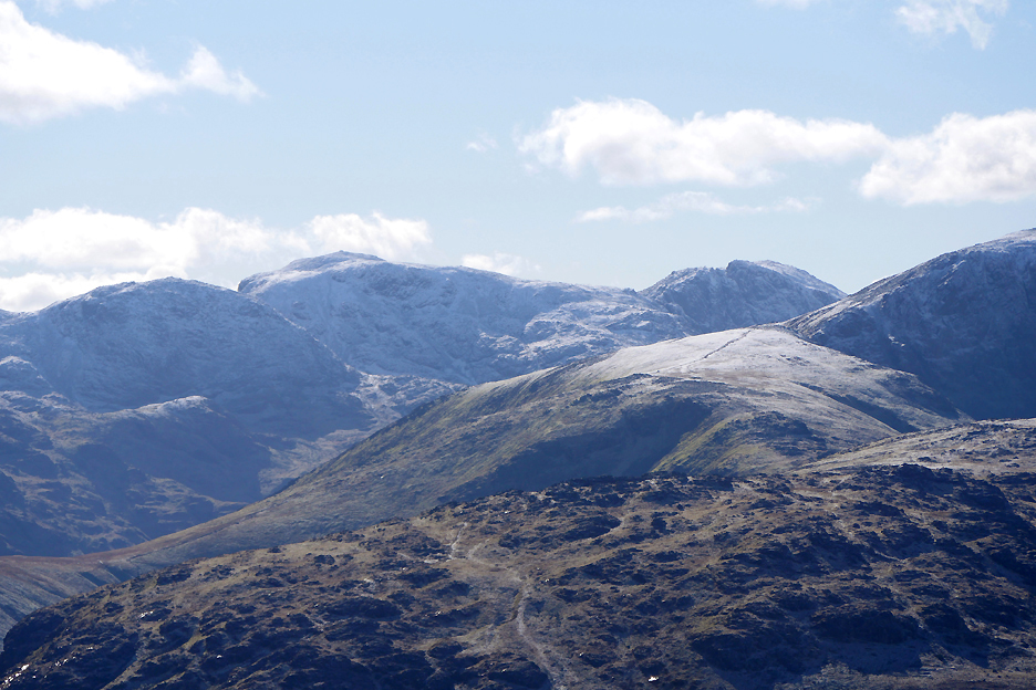
Zooming in through the blue haze at the top of England. You can see the summit cairn but it's not clear enough to make out the people that will inevitably be up there on a day like today.
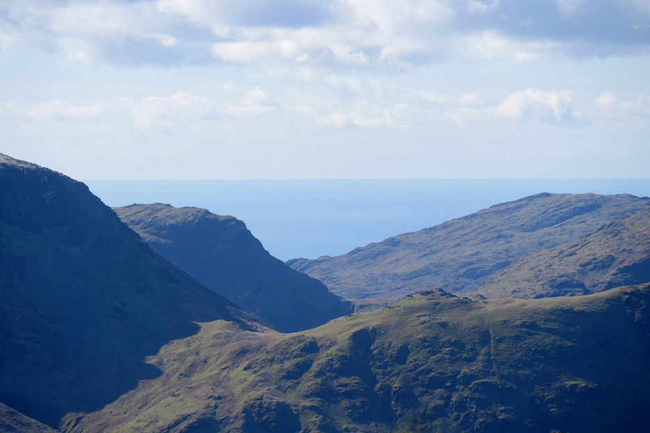
I can't make out the Isle of Man today between Yewbarrow and Middle Fell. That could be because I was looking in the wrong place of course ! From here it is hidden behind High Stile, not seen through the Black Sail pass at all . . . didn't think to check the map.
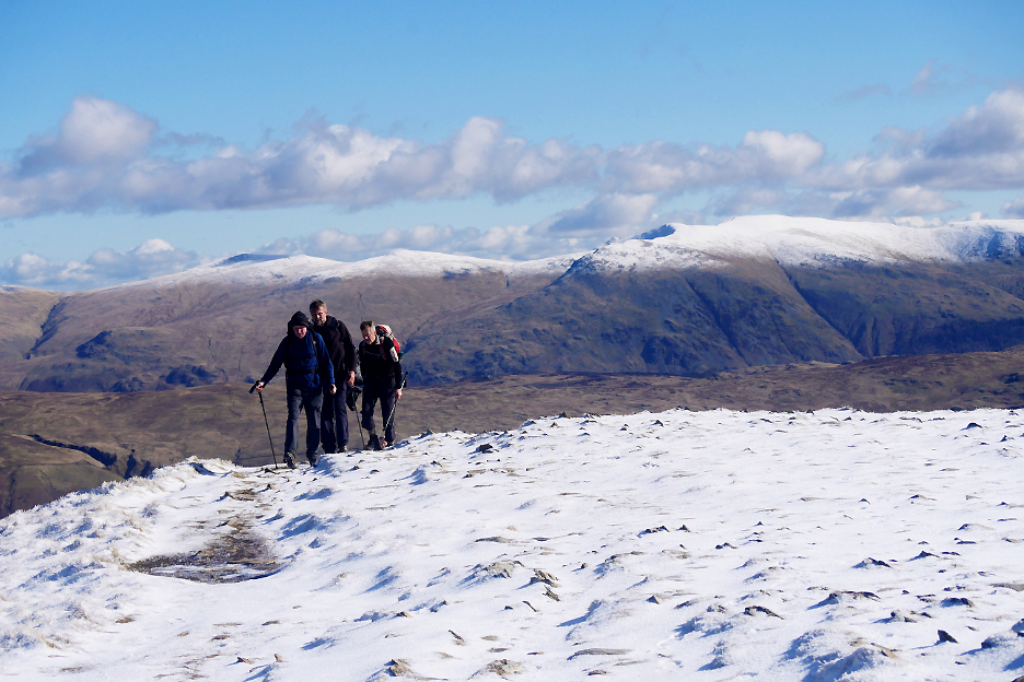
Helvellyn's snowy background as a group of guys make an appearance after climbing from Dale Head Tarn.
Time for some mountain conversation and banter as they reach the summit.
I head a short way down the path they had walked up, in order to appreciate the views down to High Spy and Borrowdale. Dylan leads the way, but I call him back as I'm not going all the way down today.
Instead we turn right and traverse across the snow, back towards the Dale Head path.
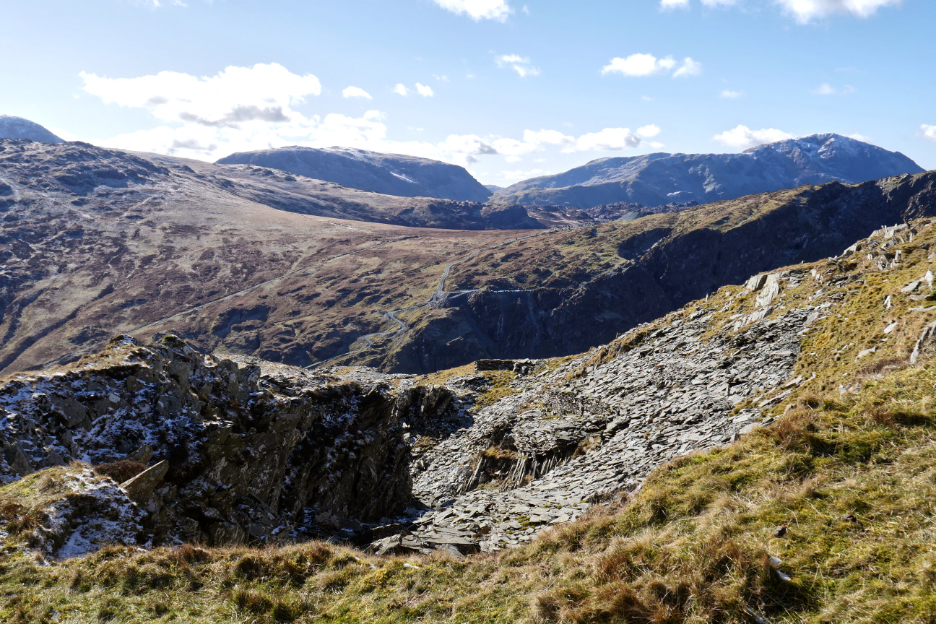
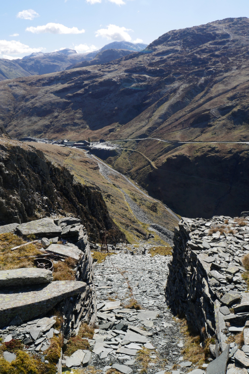
Below the highest ground now and we've lost that continuous snow cover. - - - o o o - - - My small venture into the Yew Crag quarries a few weeks ago, and people's response to it encourages me to check out the uppermost section of the crags once more.
There's a lot of old open quarries up here and plenty of lose slate on the floor so I pick my way around the grass slopes where possible.
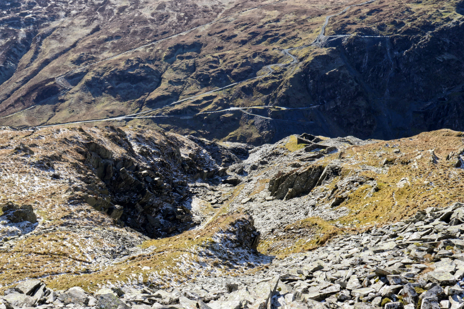
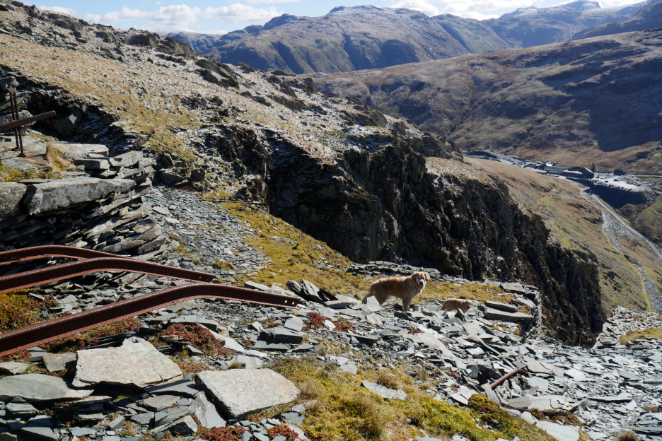
Looking down one of the open quarries as the slope increases.
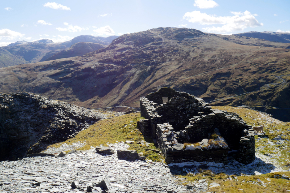
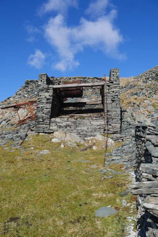
Presumably this was living quarters to the Yew Crag Miners when they were working up at this level.
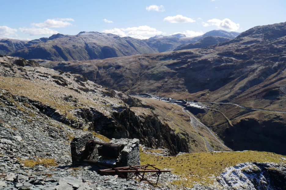
A fallen cable tower and the top winding house at the start of the long incline that leads back down to the mine buildings below.
The three rails set off down the slope . . . so you can fully appreciate the angle of the incline. The first truck would use the central and an outer rail, the other truck the centre and the opposite outer. Half way down a passing loop with a fourth rail moved the trucks apart so that they could pass each other. [ I'm not venturing down but will head off to the open fellside away to the left at this point.]
Walking close to the edge gives plenty of exposure but also plenty of views. I'm looking over the track-bed and across to Honister Crags, now in deep midday shadow.
The rest of the walk down was uneventful as I regained my upward path and found myself back at the road. Nice timings, nice views, nice time to head back to the cottage and find some lunch. - - - o o o - - - |
Technical note: Pictures taken with my Panasonic Lumix Gx8 Camera.
Resized in Photoshop, and built up on a Dreamweaver web builder.
This site best viewed with . . . a clear day and a high viewpoint.
Go to Home Page . . . © RmH . . . Email me here
Previous walk - 2nd March - Holme Wood & Spout Force
A previous time up here - 15th Sept 2007 Robinson to Dale Head
Next walk - 10th March - The Snow reaches Loweswater