|
|
|
 |
Remember: Press F11 for a
full screen view of this page. |
Web Counter when published 2
030 920 |
|
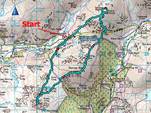
" Sewing them all up - Eskdale " Date & start time: 13th September 2022. 10.30 am start. Location of Start : Jubilee Bridge, Hard Knott, Eskdale, Cumbria, Uk. ( NY 214 011). Places visited : Jubilee Bridge, Green Crag, Harter Fell, Hard Knott, Roman Fort. Walk details : 8.4 miles, 3050 ft of ascent, 6 hours 30 mins. Highest point : Harter Fell, Eskdale, 2,140ft - 653m. Walked with : Chris, myself and the dogs, Dylan and Dougal. Weather : Sunshine and blue skies, rather warm.
|
© Crown copyright. All rights reserved. Licence number PU 100034184. |
|
Sometime back I said to Chris Howarth to give me a shout when he walks his last Wainwrights. That day has come and so it just remained for him to decide a route. Chris had his last two of his "Wainwright 214 fells" to climb, Green Crag and Hard Knott, but he would also like to see the Eskdale Needle in passing so we better set off and get the whole thing up sewn up !
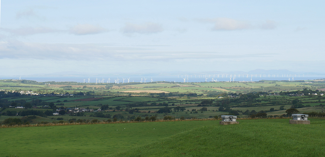
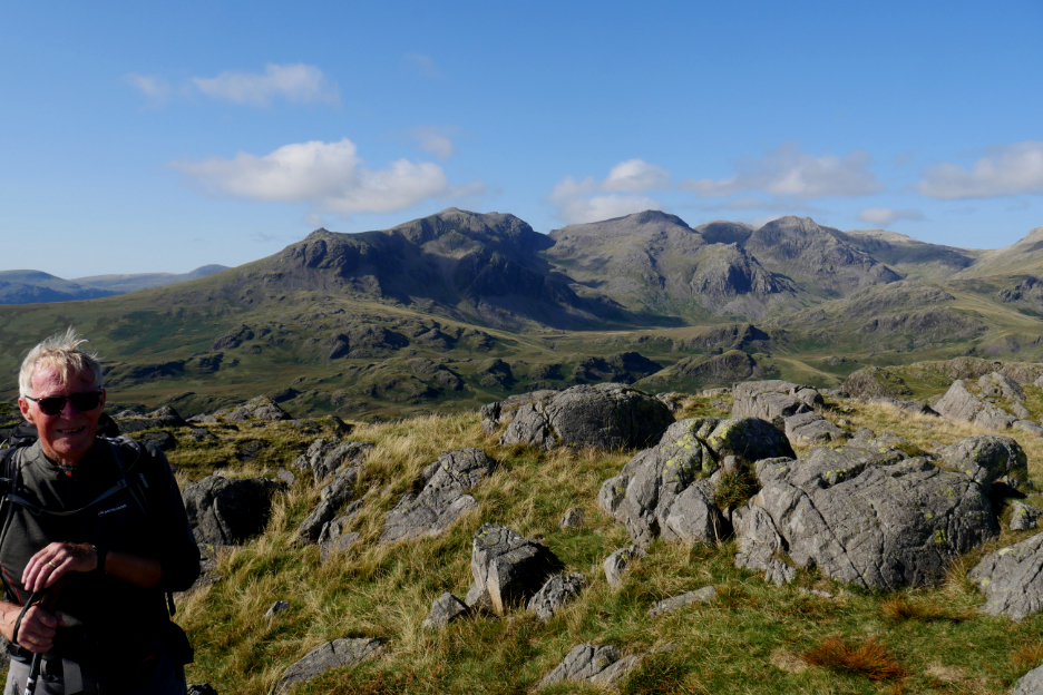
It's going to be a great day weather wise. This was the view as we drove over to the west coast main road. In the distance the wind farms of the Solway and the Scottish Hills. Chris was looking forward to clear views of the Scafells from his 'final' top later in the day.
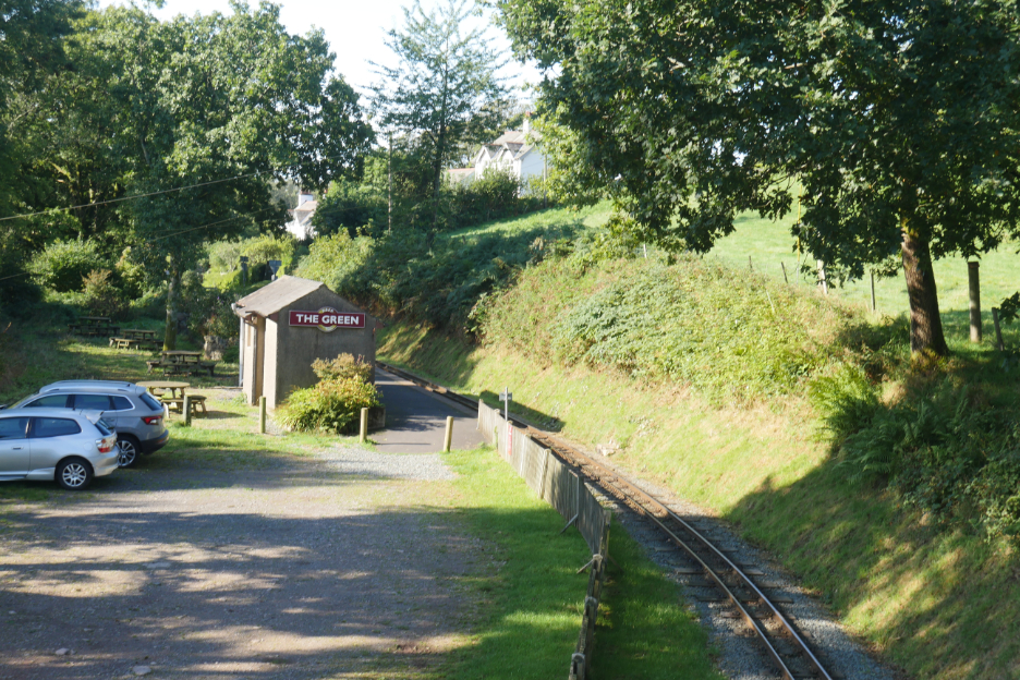
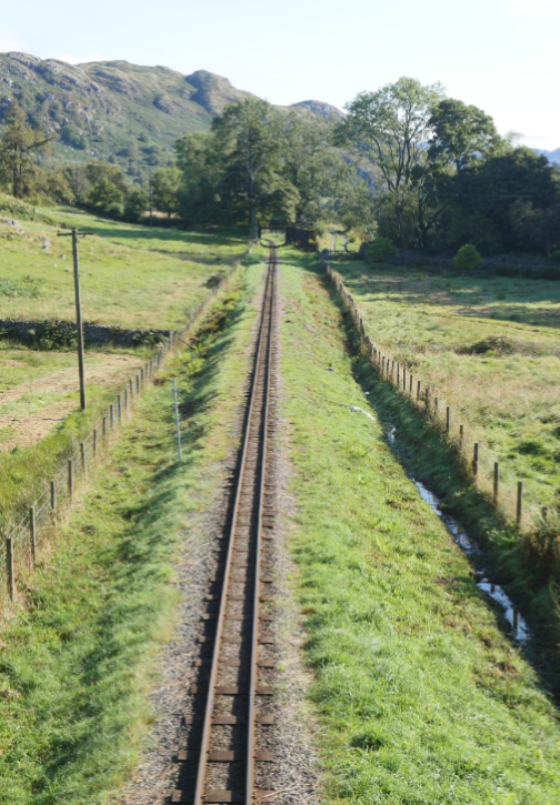
Turning at Gosforth on the coast road, we were soon into Eskdale, famous for its narrow gauge railway.
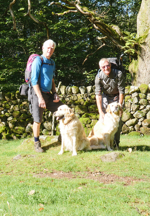
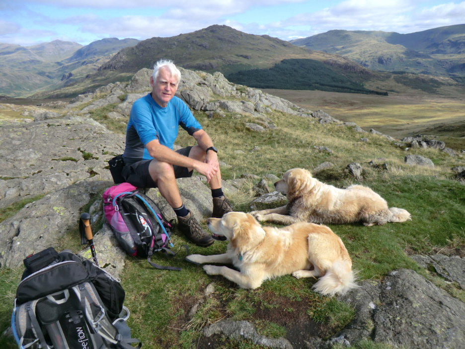
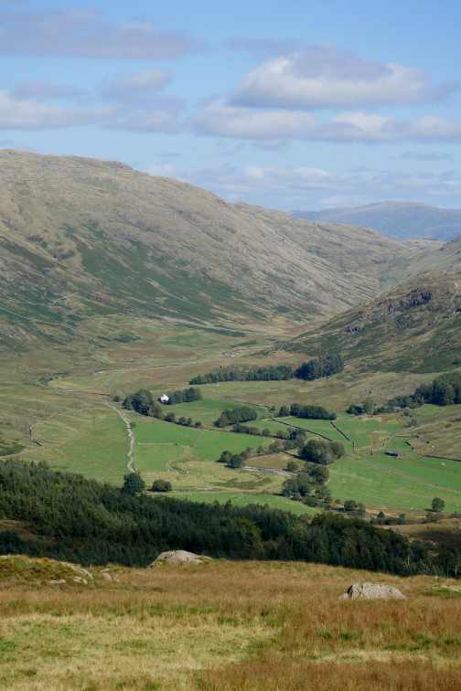
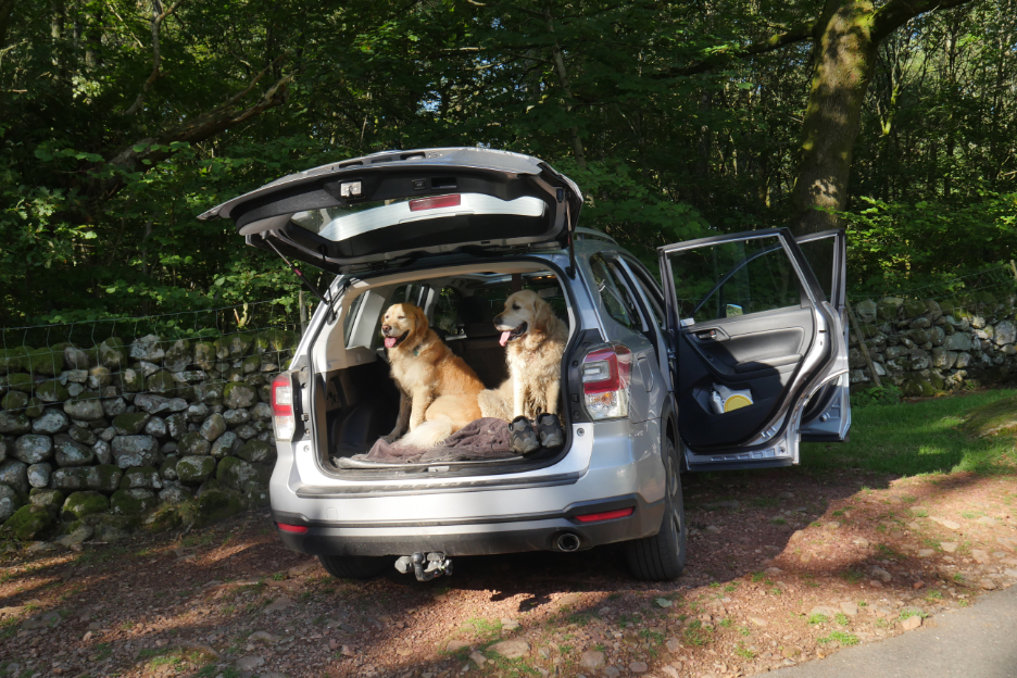
We parked the car at Jubilee Bridge at the foot of Hard Knott Pass. This would give us direct access to the old peat track up towards Green Crag and the minimum of road walking at the end of the day. Very few people about, so the camera was propped on a rock to take the first walking picture of the day.
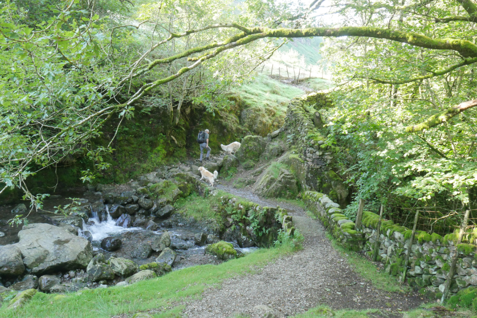
Into the shade of the Hardknott Gill's small ravine, crossed by the old pack horse bridge. Its antiquity suggests it was a Victorian Jubilee when the bridge was built (or rebuilt).
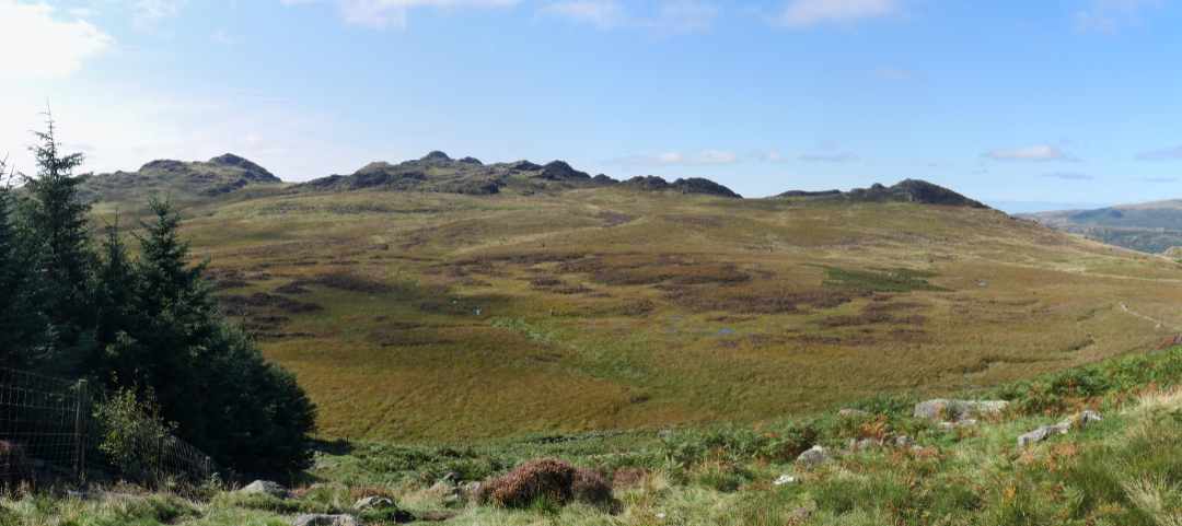
A good track climbs steadily up in the direction of Kepple Crag. We'll not climb that one as Green Crag is behind and to the left of the gap next to it.
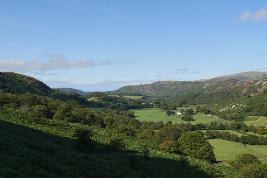
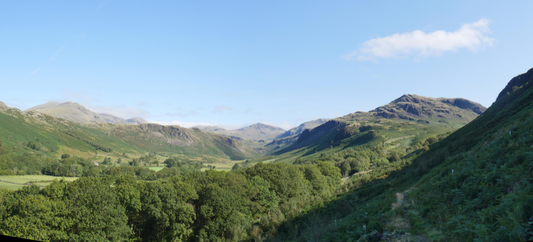
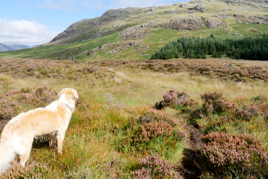
Mid morning views over the summer bracken that chokes parts of Eskdale. Below is the strangely names Wha House. No doubt there's a story waiting to be told about that name.
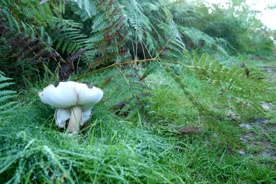
In the shelter of the north facing slope the moisture is thick on the grass and on several fine mushrooms. Don't worry . . . they were off to the side so there was mush-room to pass without accidentally knocking them over !
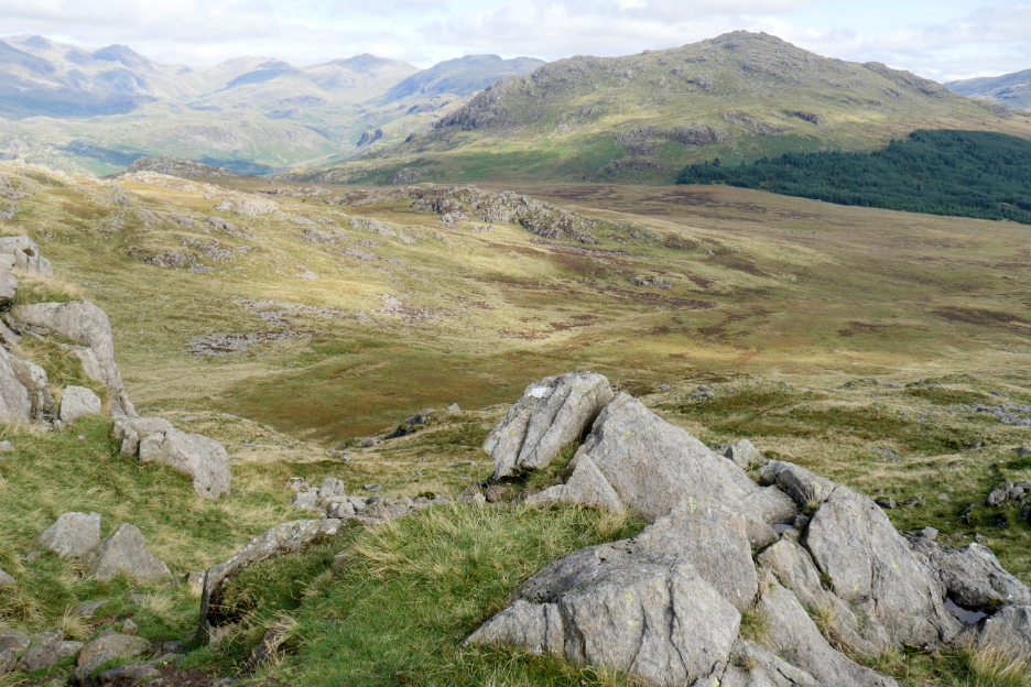
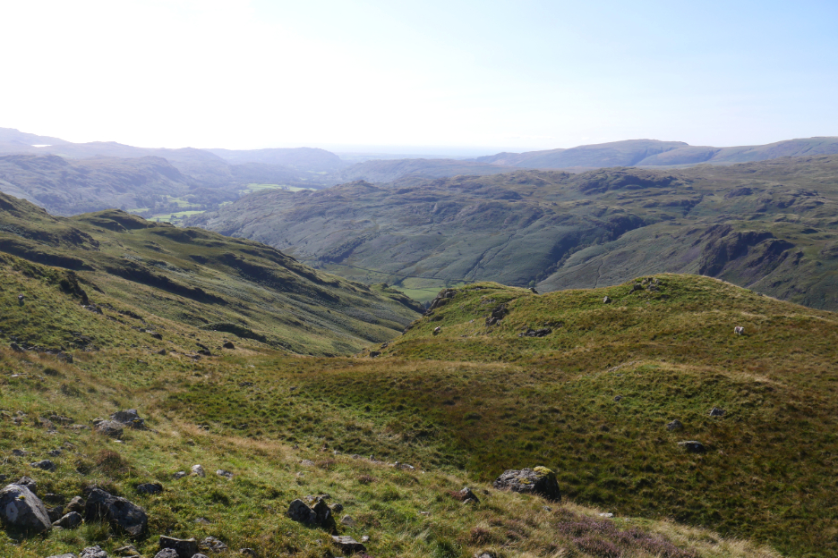
As we climbed, the view back became more and more extensive.
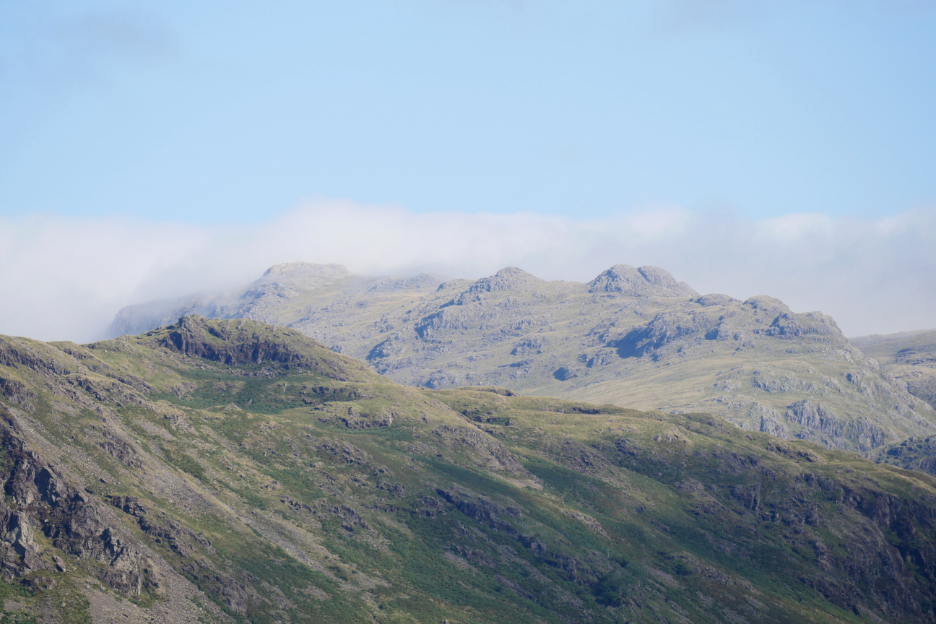
Zooming in on Scafell and Slightside, just a wisp of cloud over the tops.
Broad Crag and Ill Crag, with the lower rock summit of Pen in front of the darker cliff. The foreground will be something like High Scarth Crag on the way to Sampson's Stones.
The cloud top again confuses the scene, but that looks like Crinkle Crags with Cold Pike away to the right.
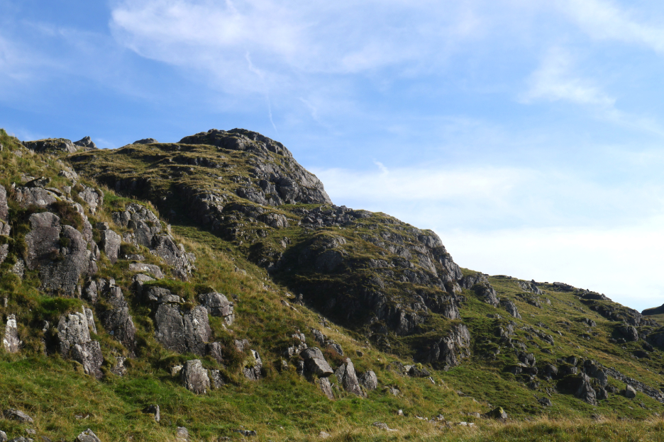
No problem with this one, its Border End sitting above the Roman Fort. The path from the horizontal notch downward would be our return route.
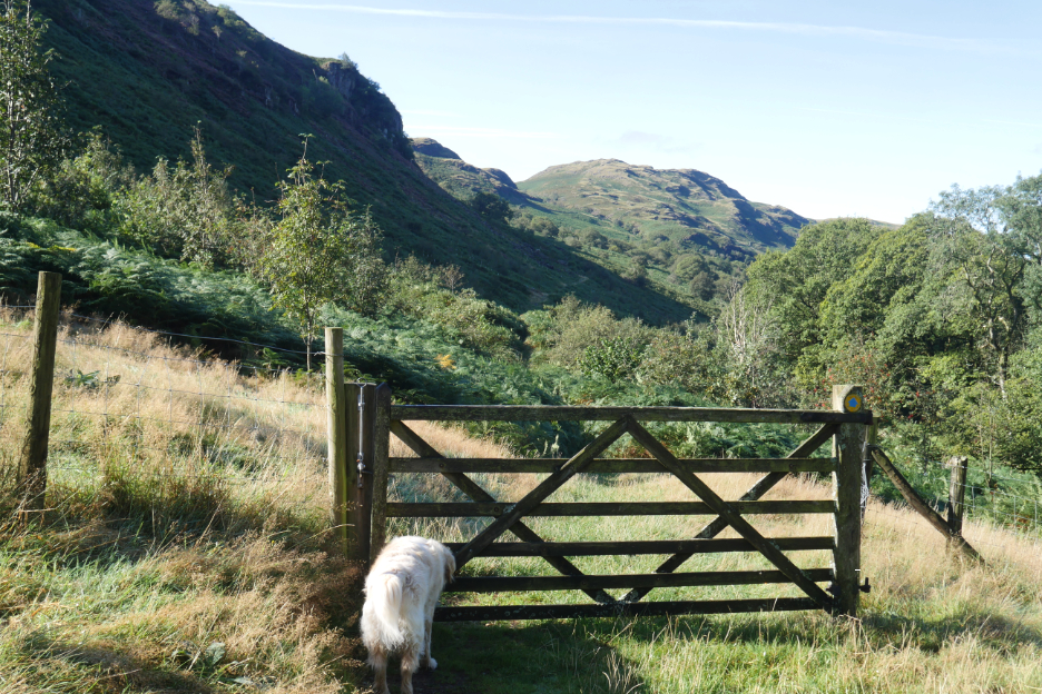
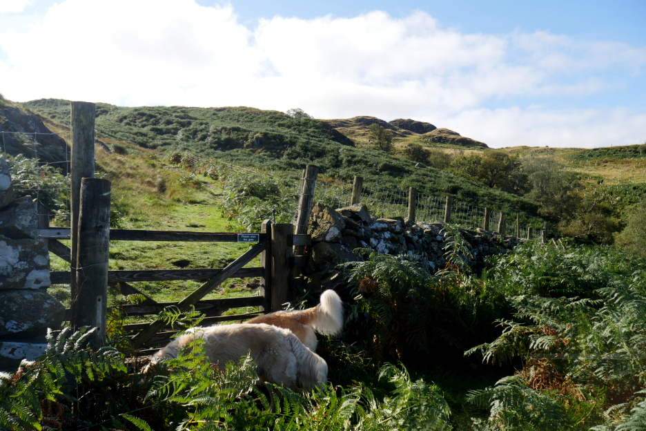
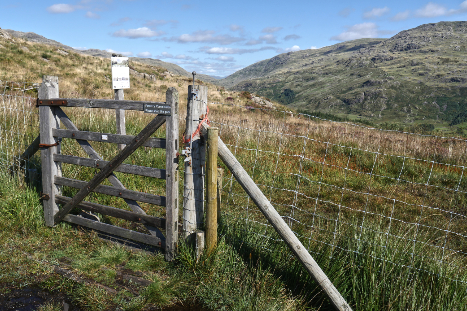
We're making good progress, with the gate at the top of the first climb now reached.
A stile to cross over the fence and head for our first summit of the day, Chris's 213 . . . Green Crag.
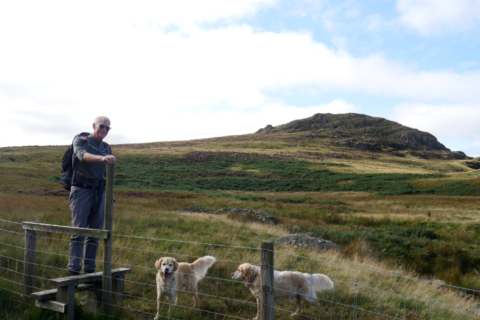
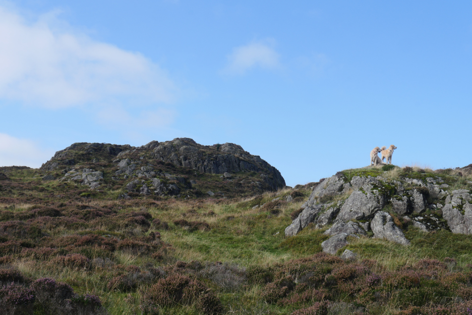
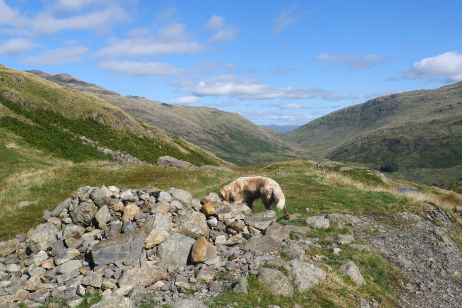
There's a series of lesser summits along the way, all Birkett's if you are into that completing that list. The dogs sat waiting on the skyline for us to make our way through the rather featureless paths of the heather covered slopes. Nice photo I thought, but the dogs were distracted at the critical moment.
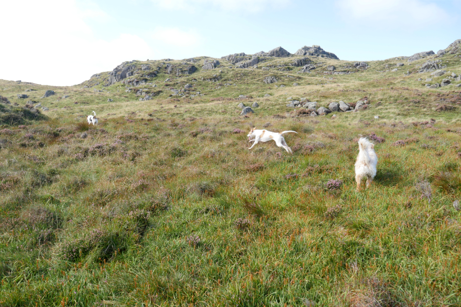
The fox hounds were out, combing the fellside for a trail of scent (hopefully artificial not natural).
They were not interested in other dogs or sheep, just bounding along on their own mission.
Dow Crag passed to our right and ahead now was Green Crag with its distinctive final steep climb.
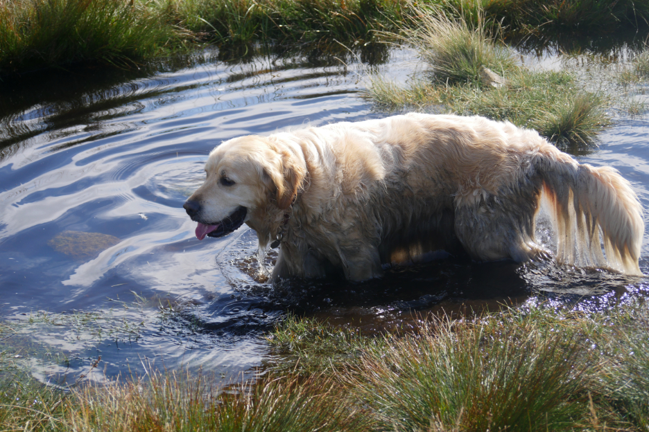
Dylan took advantage of a peaty pool to cool down, as it was already getting warm.
We could just make out an island out in the Irish Sea as BT welcomed me to "mobile roaming" courtesy of the Isle of Man phone service.
Green Crag under the belt, the sunglasses heavily darkened in the bright light of the day.
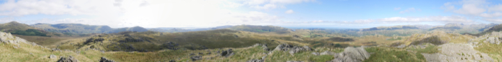
Fancy checking out the view ? Click here or on the photo above for a 360 degree annotated panorama.
Time for a quick refreshment stop.
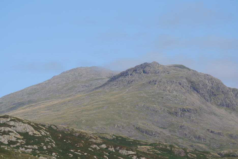
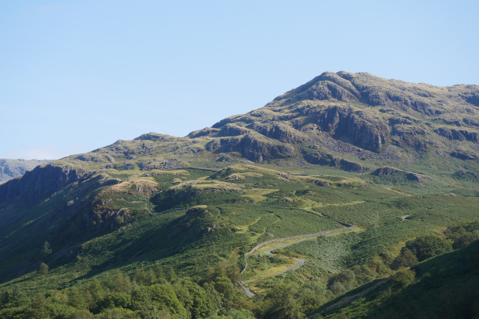
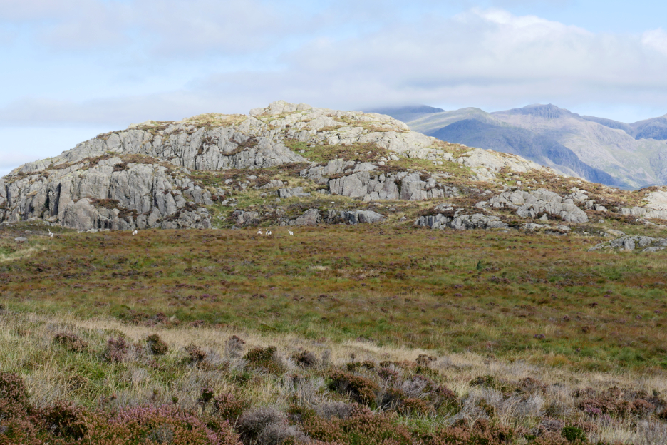
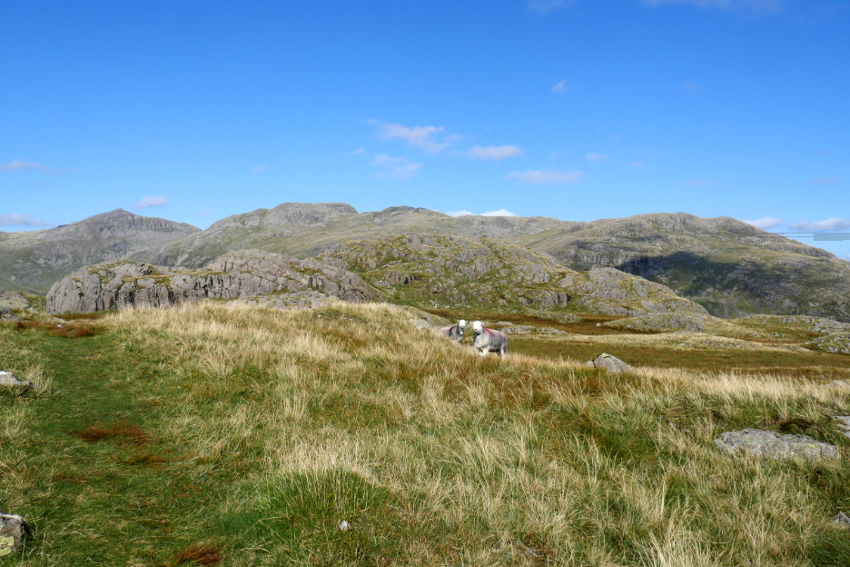
Our next target was not the pointed one ahead but Hard Knott, the darker fell behind. The easiest way to reach it would be to climb up and over Harter Fell along the way.
The edge of the forestry plantation defined the route up and as we climbed we could look back at the many summits that made up the ridge leading to Green Crag.
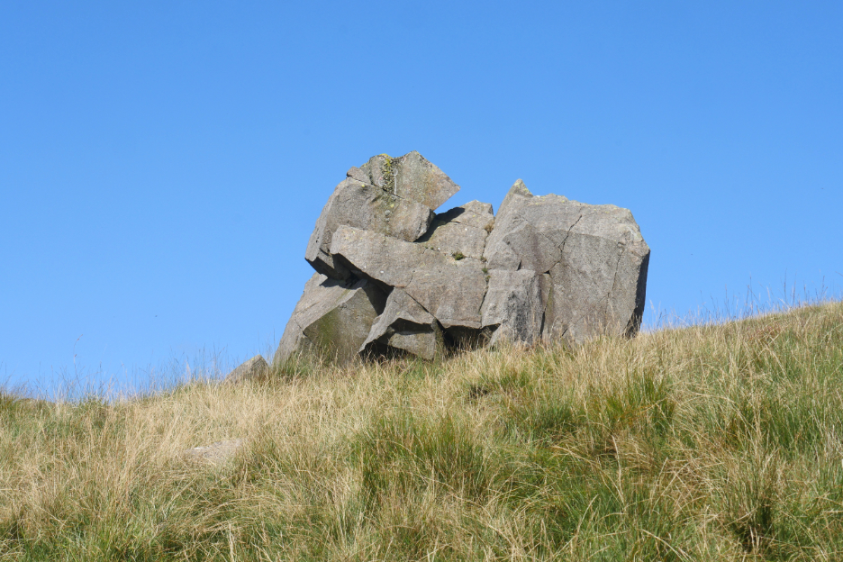
A fine boulder on the way up gained the name of "The Elephant Rock". [ Perhaps I could make a "trunk call" via the Isle of Man service from here ? ]
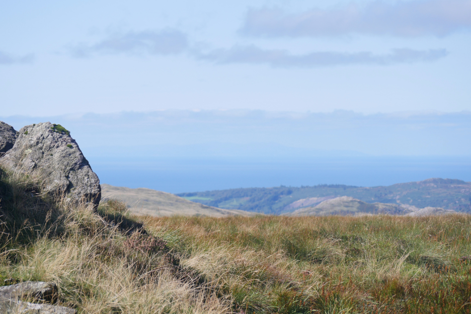
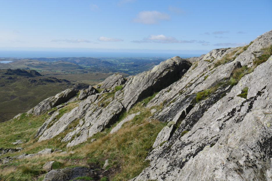
Climbing Harter Fell, but the haze of the day was starting to hide the detail out to sea.
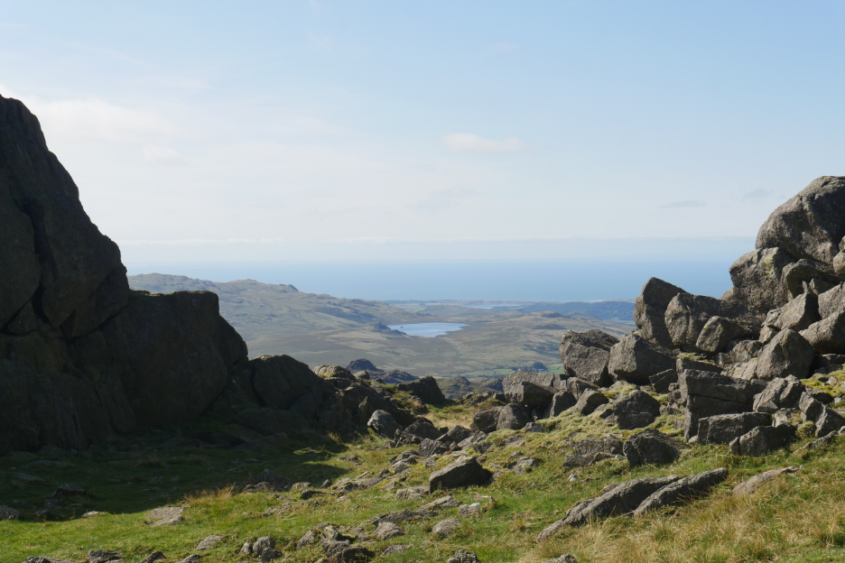
In the dip below the summit of Harter, looking back at Devoke Water.
The trig point here is set on the spur just below the summit . . . an equally good view and an easier site to build it.
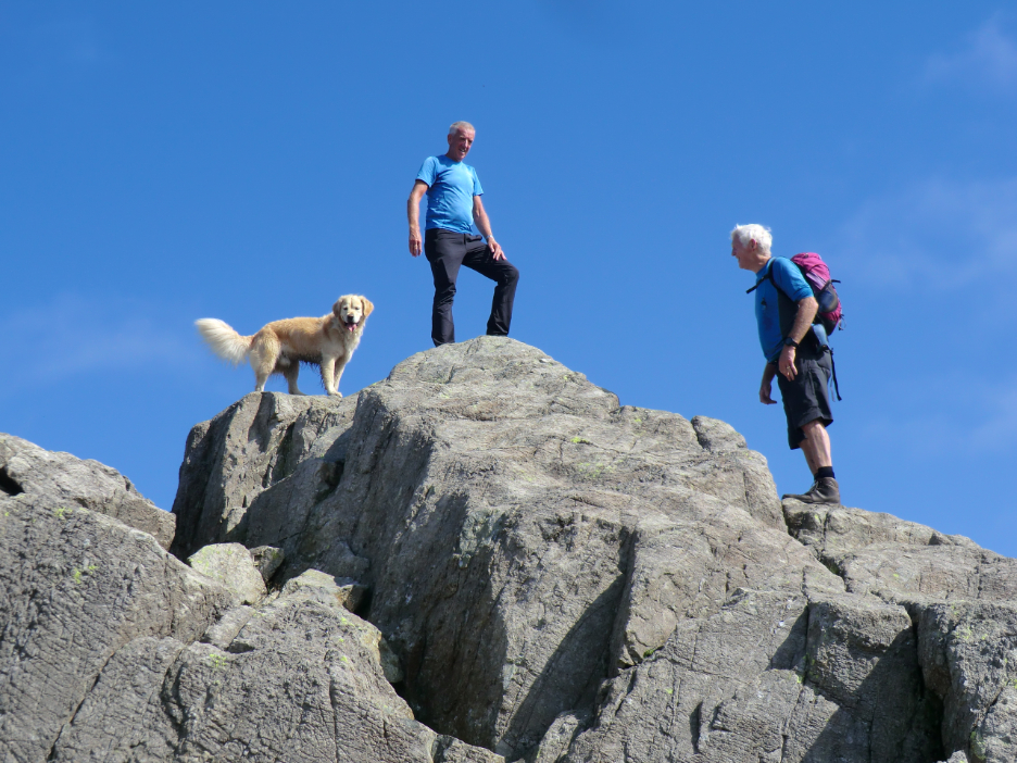
The summit rock was a bit of a scramble to reach. We had met the (other) gentleman in blue near Green Crag and he caught up with us again here.
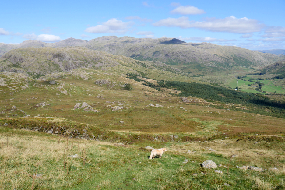
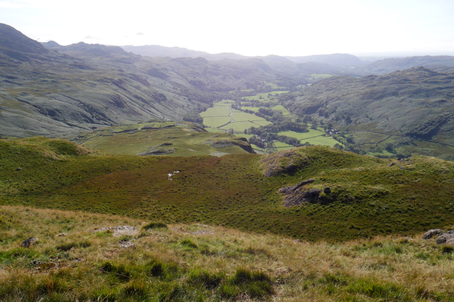
Harter would be a good place to stop for a bit of lunch . . . the views today were spectacular, then afterwards we need to make our way across the undulating ground to the left of the dark green forestry.
In the early days of my walking there was a forest the other side of the fence, so everything looks different. I hear there's a plan to re-plant the Duddon woodlands once again, so it will change again over time.
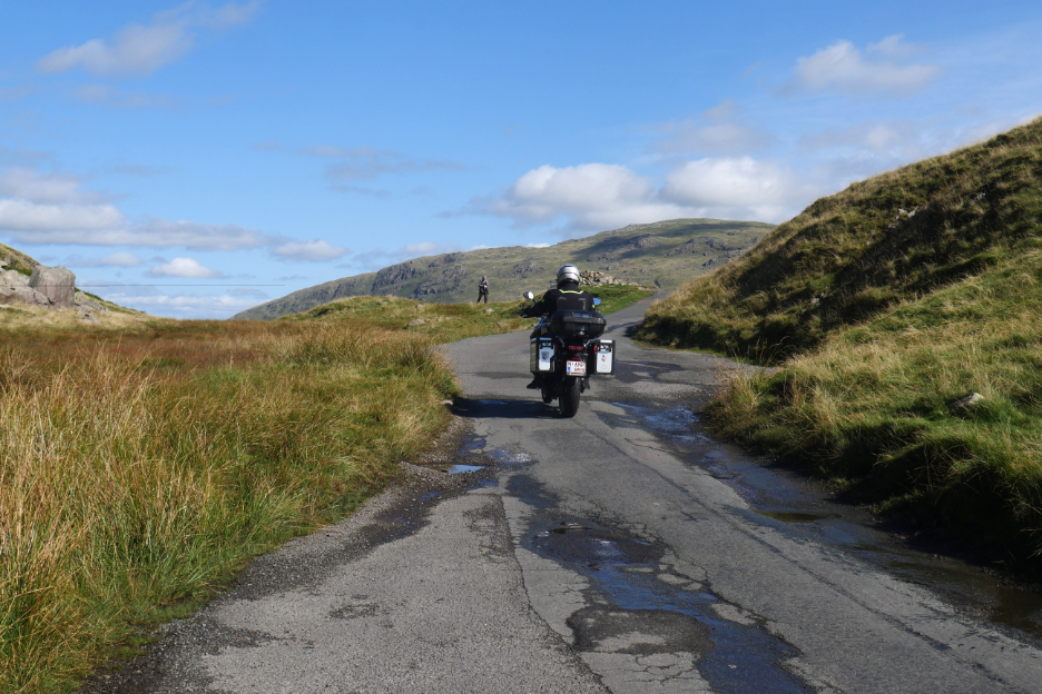
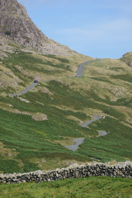
At the end of the connecting ridge we hit the tarmac, as the road completes its steep climb of Hard Knott Pass.
At the top of the road pass is a large cairn, which signifies where we turn to start the ascent of our final summit of the day.
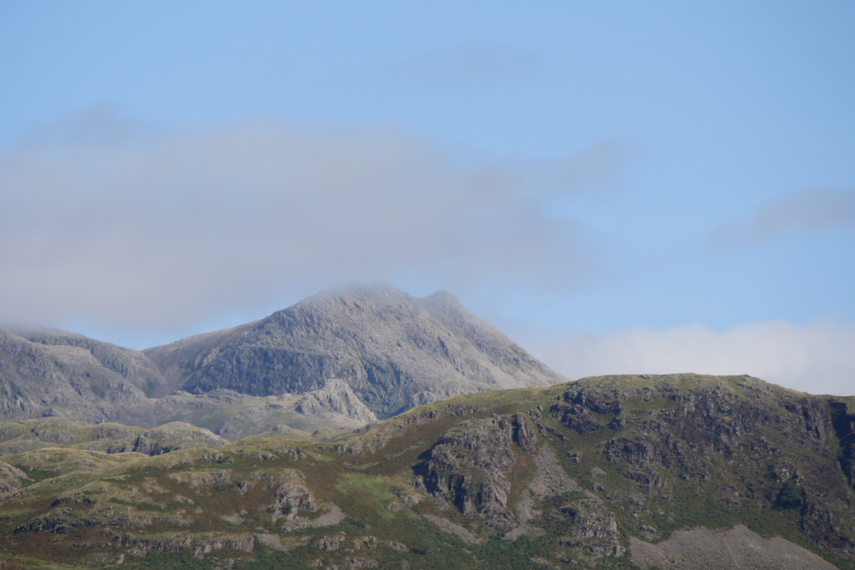
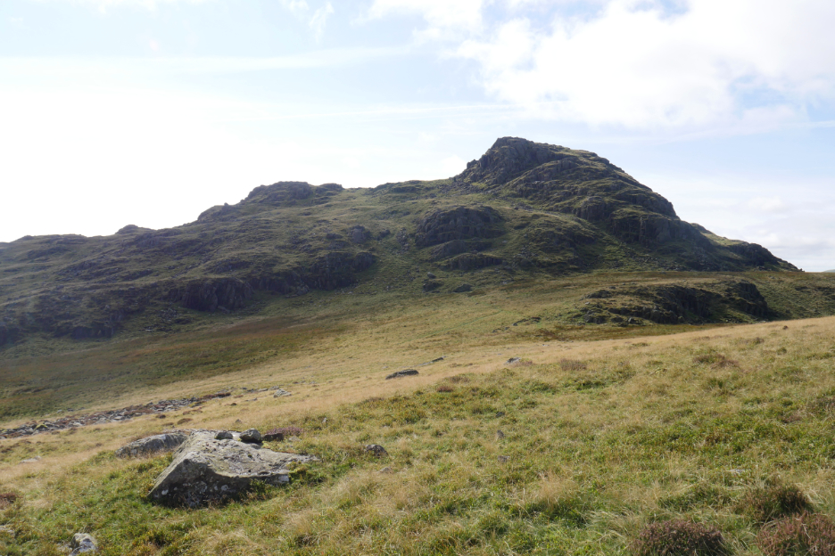
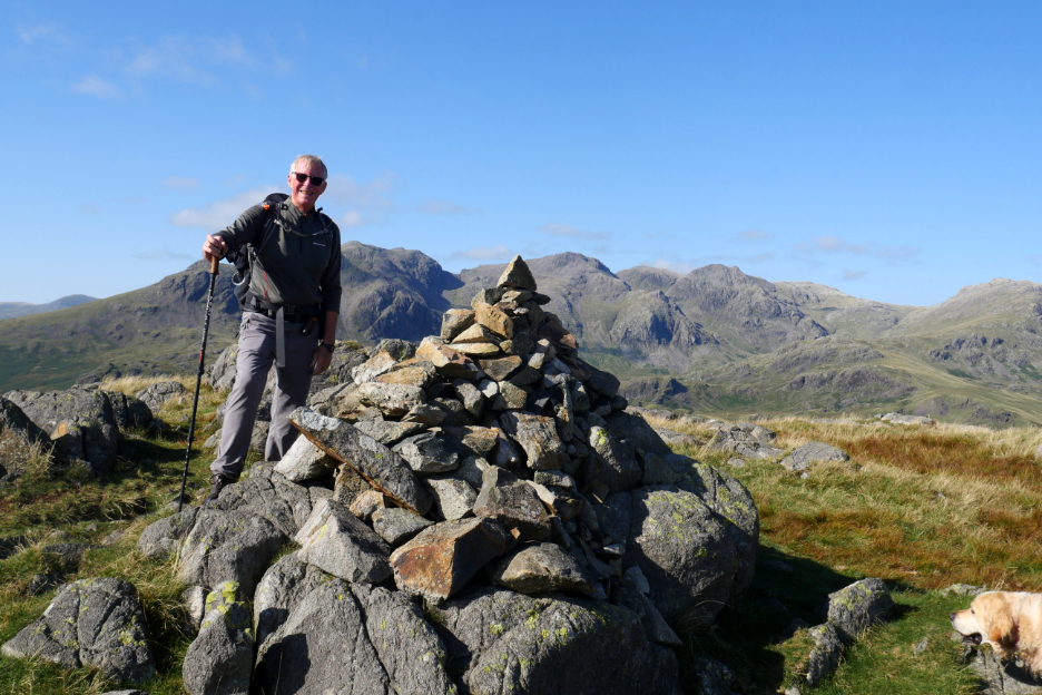
Hard Knott summit ahead . . . but which one is it was the question ?
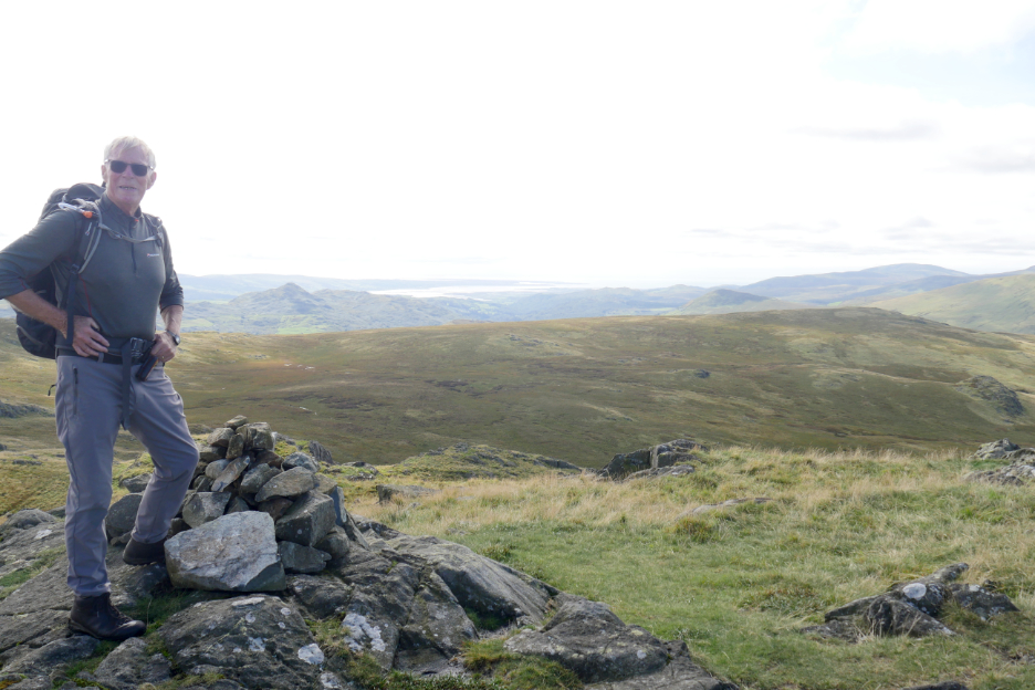
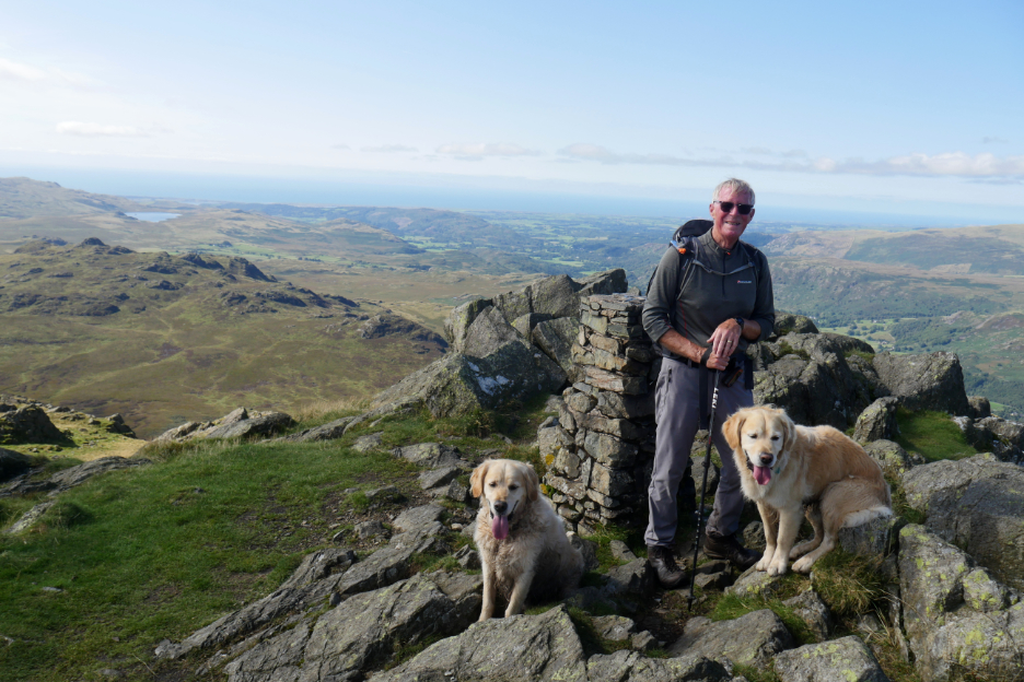
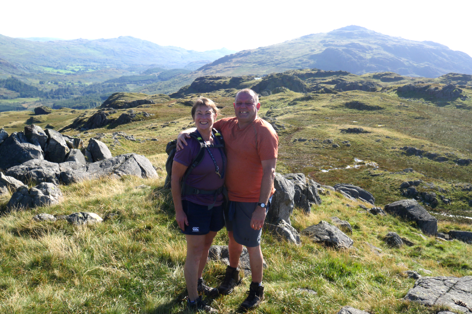
Congratulations Chris . . . 214 completed . . . the final Wainwright in the seven book series climbed on such a lovely summers day.
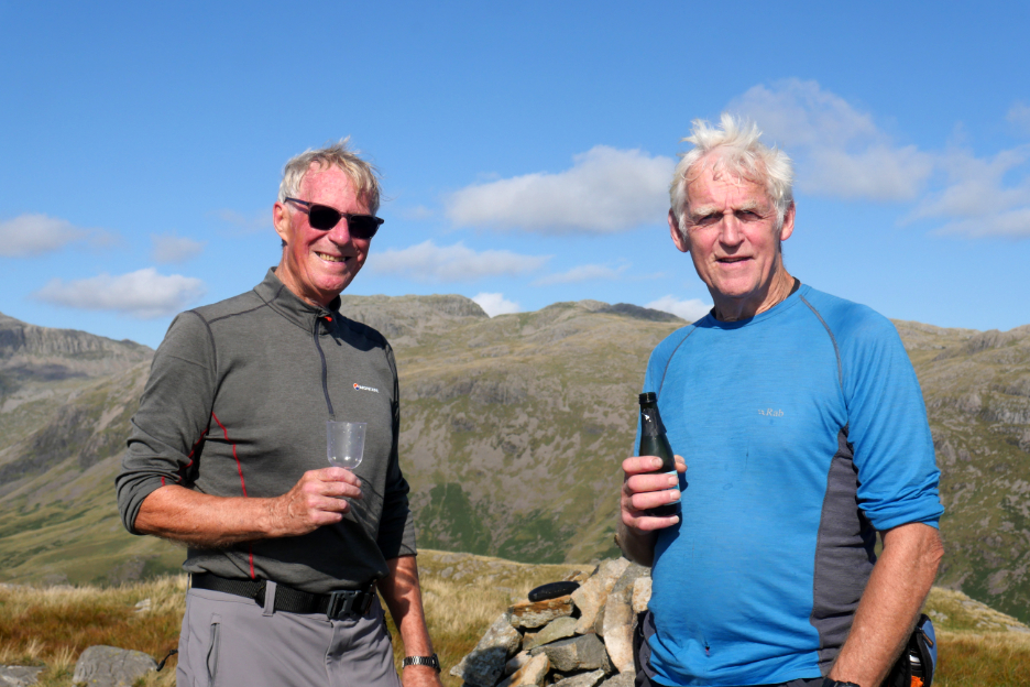
Completing such an achievement deserved a celebration and I found a couple of wine glasses and something bubbly to fill them with, to mark the occasion.
The last photo was taken by another couple, Mark and Linder Winder (from Egremont if I remember correctly) who seemed to appear just as the cork went 'pop' and so were able to join in on Chris's celebration. [ Hopefully they will see their own image here on the site if they are still checking it after the slight delay in publication.]
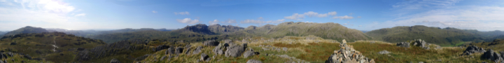
Today we had the perfect views across to the Scafells that Chris wanted . . . a real highlight to his many years of fell walking. Click here or on the photo above for the 360 degree annotated panorama that we enjoyed today.
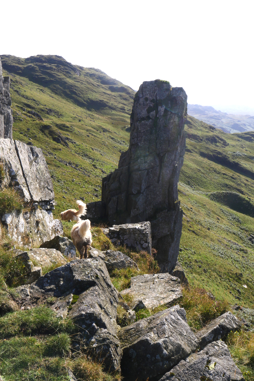
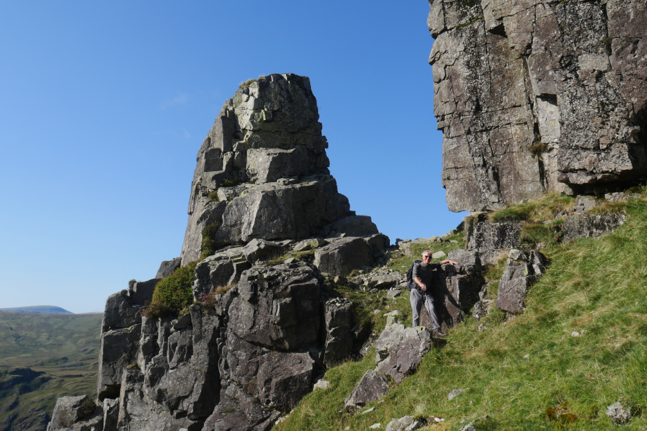
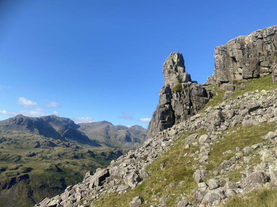
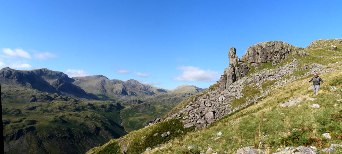
The wine bottles emptied of the last bubble, it was time to be moving on, but there was one last viewpoint Chris wanted to visit. It doesn't feature in a lot of books but there on Wainwright's Hardknott page 5 was the Eskdale Needle.
We drop down on the western side, but the book mentions "it is elusive when sought from above".
It's down there somewhere !
Even close up it doesn't stand out as a feature.
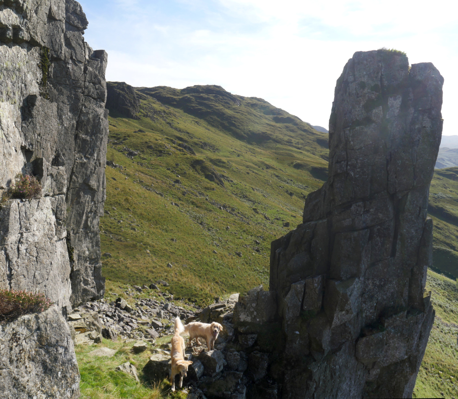
Having complete the 214, the needle gave me the title of today's report . . . "sewing them all up". It is well worth a visit if you are up here on Eskdale fells.
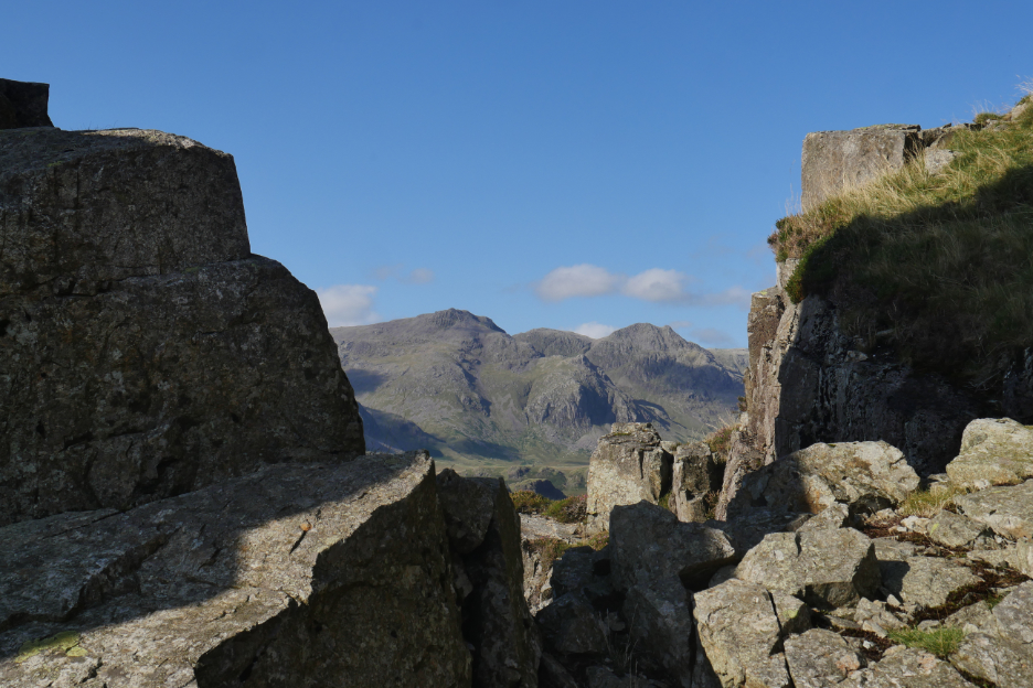
Once again views of the Scafells, looking back through the gap.
All three targets for the day achieved.
Now it just remains to head back down to the car.
Don't think the walk is over here . . . there's plenty of path finding to do through the sloping, rocky terrain, but you do have a magnificent backdrop to look back on if you care to stop and look around.
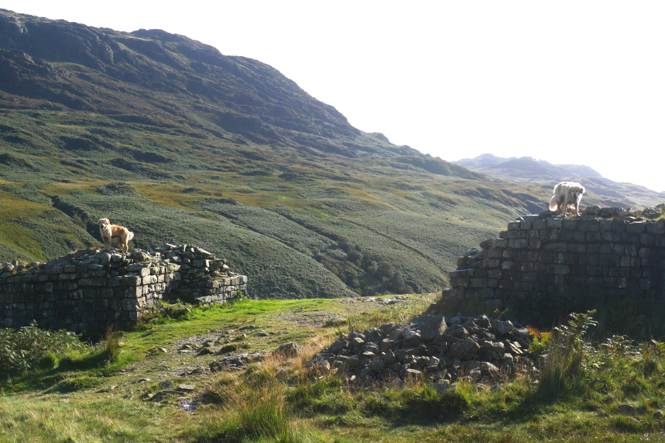
Over that level notch in the lower slopes of Border End and below we get our first sight of the Roman Fort.
Two sentinels guard the gateway.
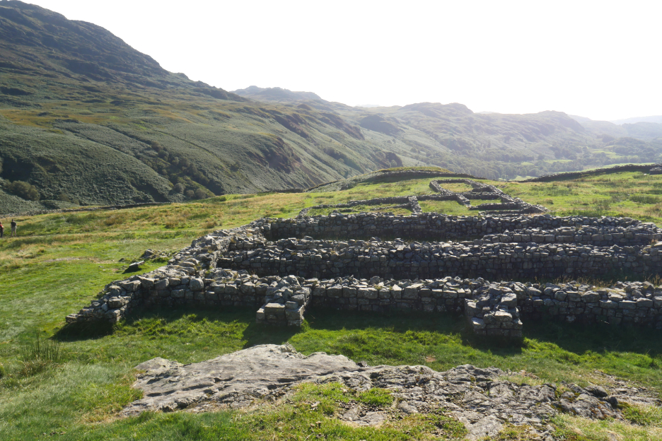
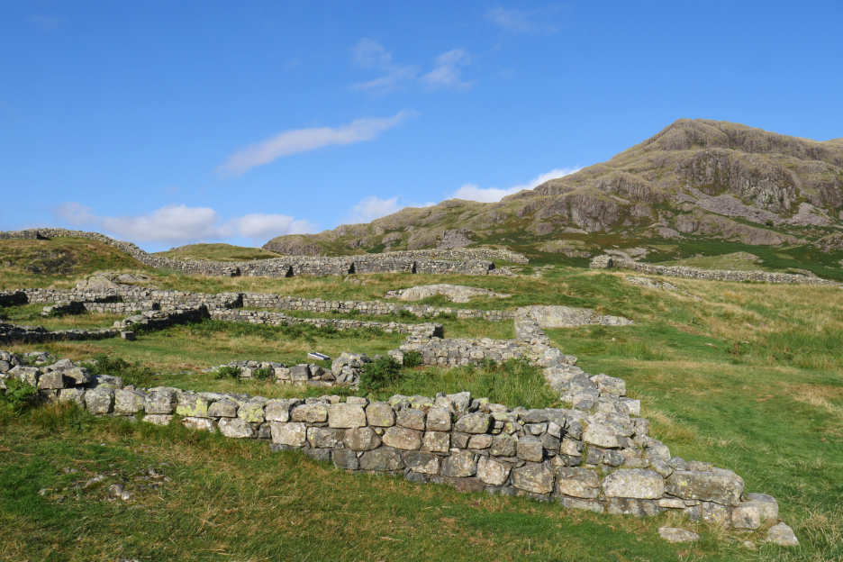
Inside the remains of the old buildings are well preserved due to the lack of pillaging of the stone for use in buildings elsewhere . . . there are just no houses up here that needed building stone.
The granary and commandants houses hint at the importance of forts in Roman Times.
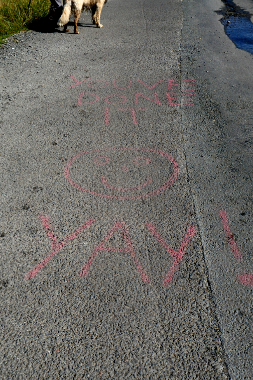
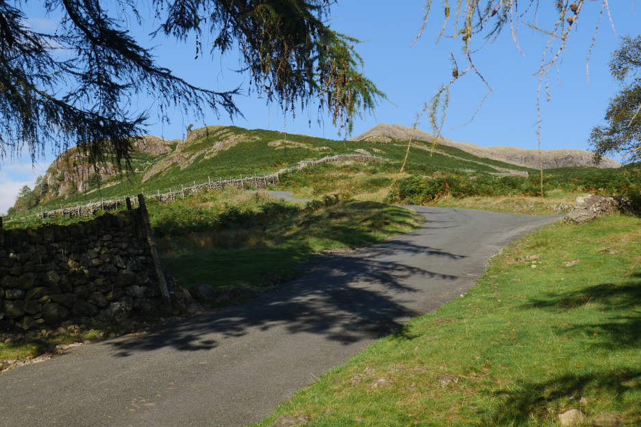
The last part of the descent follows the road back down to the parking at Jubilee Bridge.
Welcome respite after a long, fairly rough walk on a hot day. - - - o o o - - -
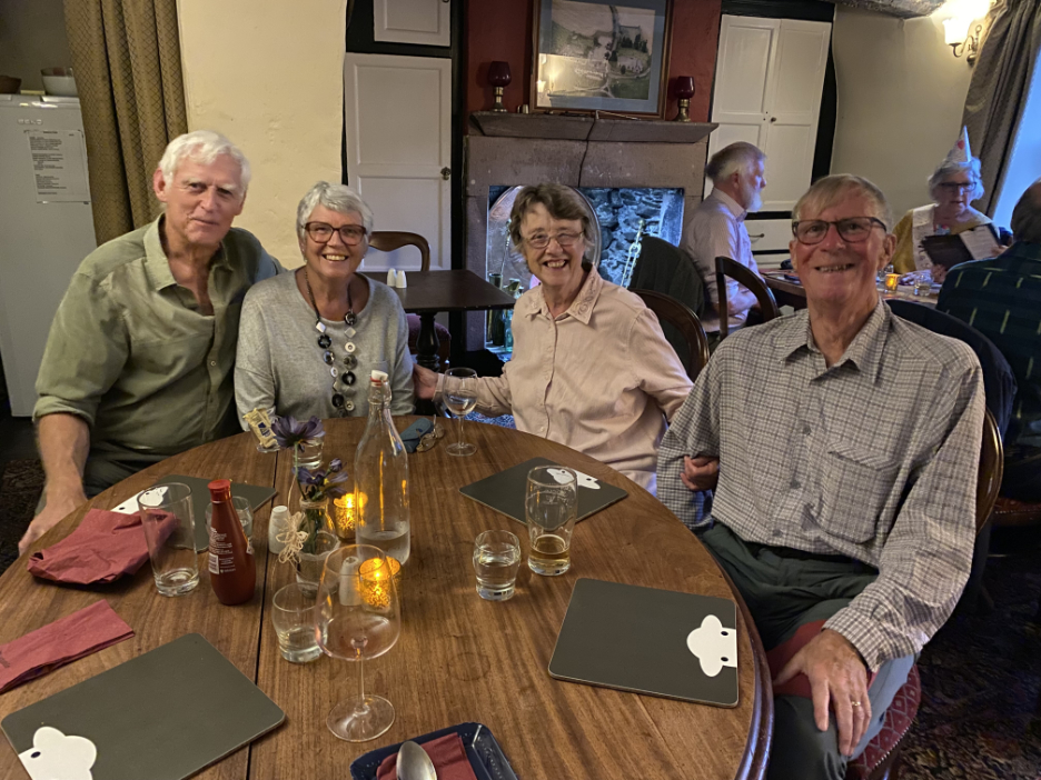
We had planned to meet up with Loes and Linda in the Woolpack Inn at the end of the afternoon but Chris and I were about an hour or so behind schedule so the rendezvous never happened. However we were able to meet up for a meal in the evening at the Kirkstile Inn to celebrate a great day on the fells. - - - o o o - - - |

Technical note: Pictures taken with my Panasonic Lumix Gx8 Camera.
Resized in Photoshop, and built up on a Dreamweaver web builder.
This site best viewed with . . . 214 chapters of the books all enjoyed and 214 fells all climbed.
Go to Home Page . . . © RmH . . . Email me here
Previous event - 4th Sept - The 2022 Loweswater Show
A previous time up here - 14th March 2009 Green Crag for Jill and everyone
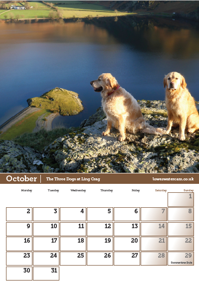
Don't forget to order your calendar for 2023 (see below)
Next walk - 30th Sept - September Rambles
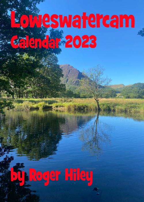 |
I am delighted to offer you the chance to buy The 2023 Loweswatercam Calendar. On sale now ! For the 14th annual edition of the calendar we have been looking back at the year to bring you twelve months of Loweswater pictures and Cumbrian scenes.
Click here or on either picture to see the full details. £12 a copy (plus postage + packaging if required) £1 of every calendar sold goes to support the Air Ambulance and Cumbrian Mountain Rescue.
|
 |