|
|
|
 |
Remember: Press F11 for a
full screen view of this page. |
Web Counter when published 2
019 550 |
|
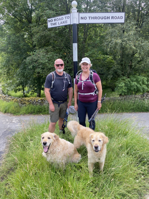
" Local Fells with Stuart and Hazel " Date & start time: 12th/13th July 2022. Location of Start : By the red phone box, Loweswater, Cumbria, Uk. ( NY 143 211) Places visited : Two walks, Hen Comb and then Mellbreak, returning via Low Ling Crag. Walk details : 4.5 miles, 1325 ft of ascent, 3 hours. 2nd Day : 6.5 miles, 1850ft of ascent. 7 hours including a swim. Walked with : Stuart Rowe, Hazel, and my dogs, Dylan and Dougal. Weather : Overcast and warm. More sunshine on the second day.
|
© Crown copyright. All rights reserved. Licence number PU 100034184. |

|
Two walks, the first up Hen Combe with Stuart and the second, the following day, with both Hazel and Stuart climbing up the front of Mellbreak and over to Scale Force waterfall. Stuart and Hazel were staying at the Kirkstile while they were here in Loweswater.
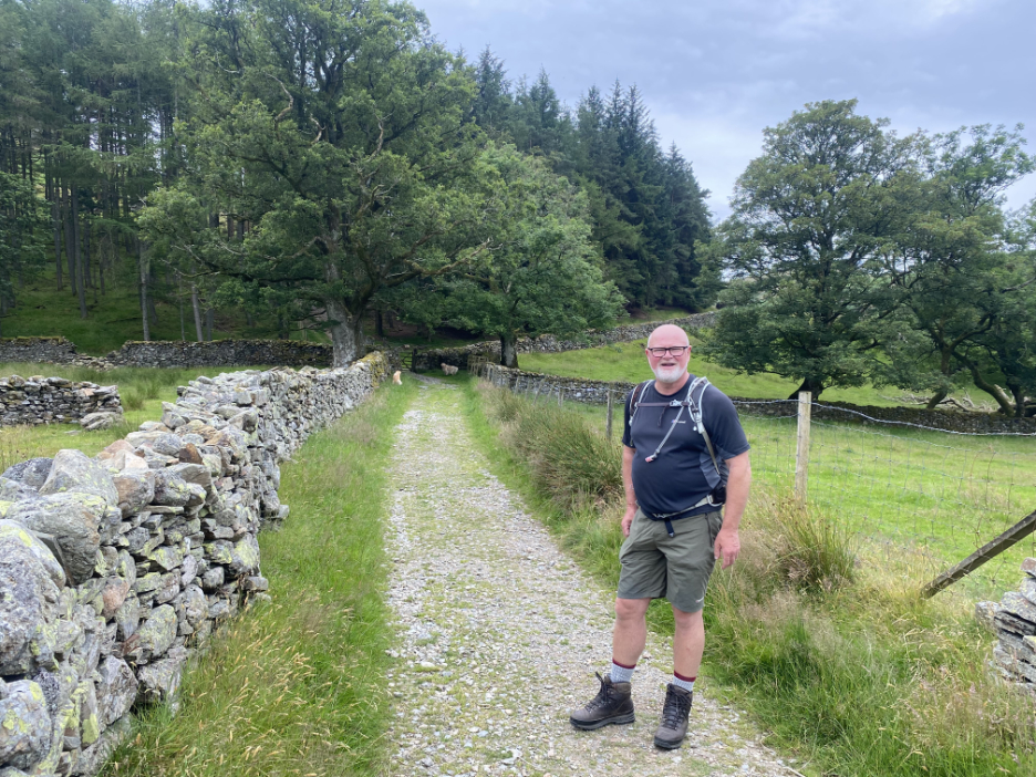
Stuart Rowe is a long time viewer of Loweswatercam and during his Lakes holidays he suggested a combined walk with myself and the dogs once his walking friends had departed for home.
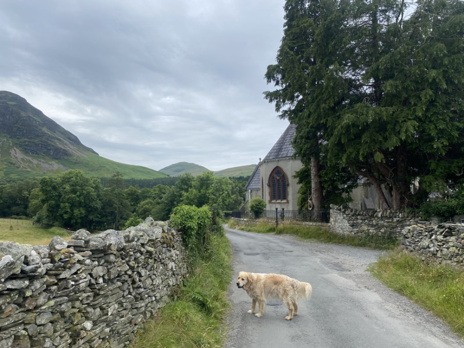
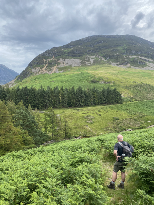
He and I decided to add Hen Comb to his list of achievements, so together we headed up the Ennerdale track into Mosedale. The summit of Hen comb, approximately the same height as Mellbreak, can be seen in the previous photo, taken from alongside Loweswater Church.
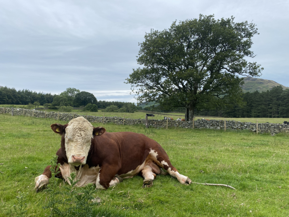
This was taken from alongside and rather closer to a rather large bull in the field adjacent to the track.
However us humans conserved our energy for the final pull, which on Hen Comb is steeper than you think.
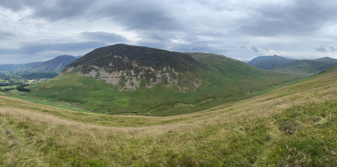
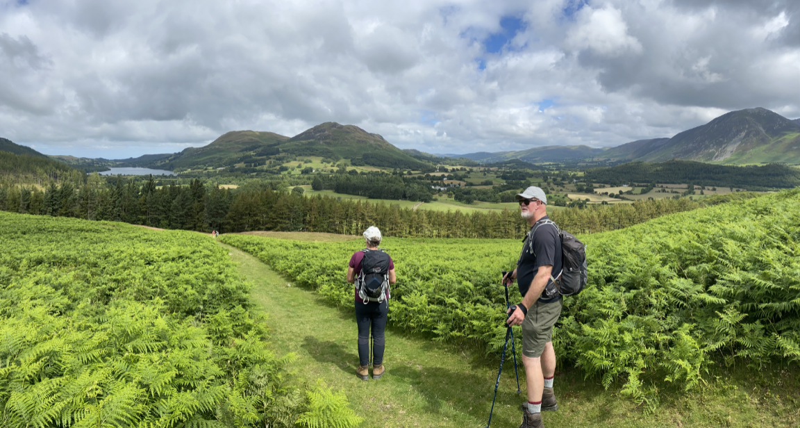
Summit achieved (without a photo record) . . . this was a slightly wider panorama of Mellbreak as seen on the way back down. At was a simple out and back walk as it was time for Stuart to drive to Penrith to meet the train.
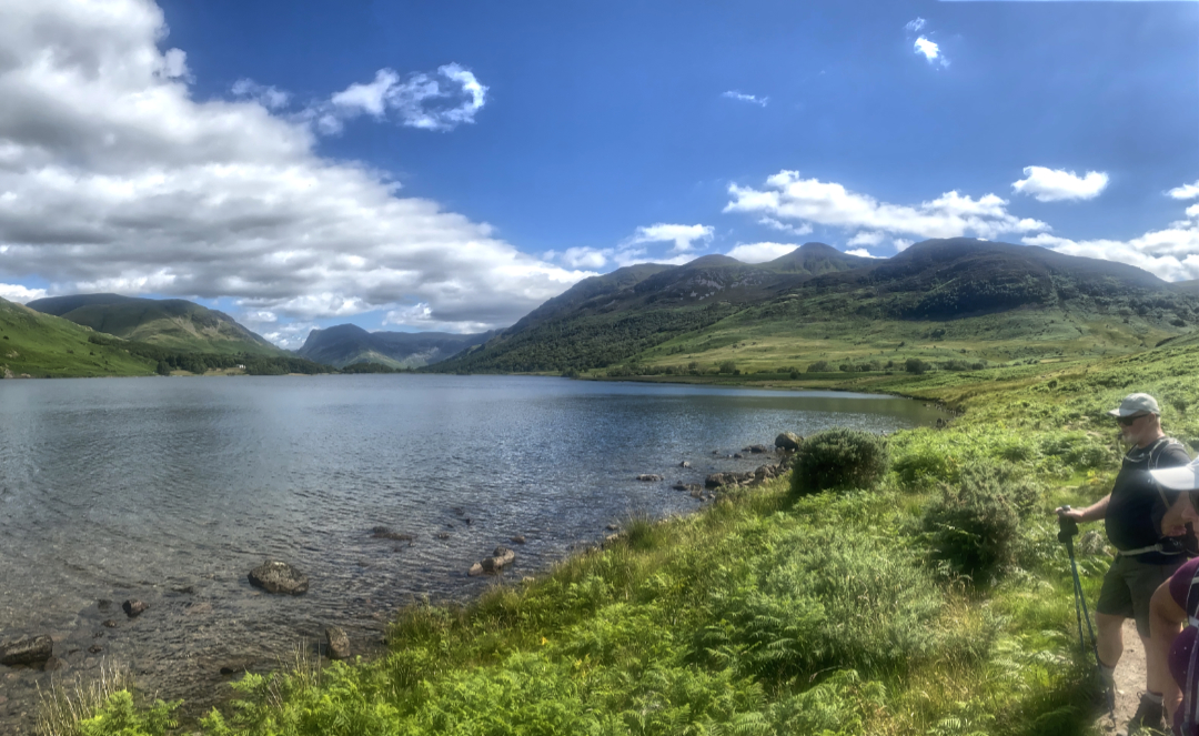
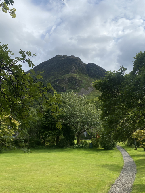
A stop to appreciate the first view of Loweswater itself, the bonus in addition being the view down the Lorton Valley.
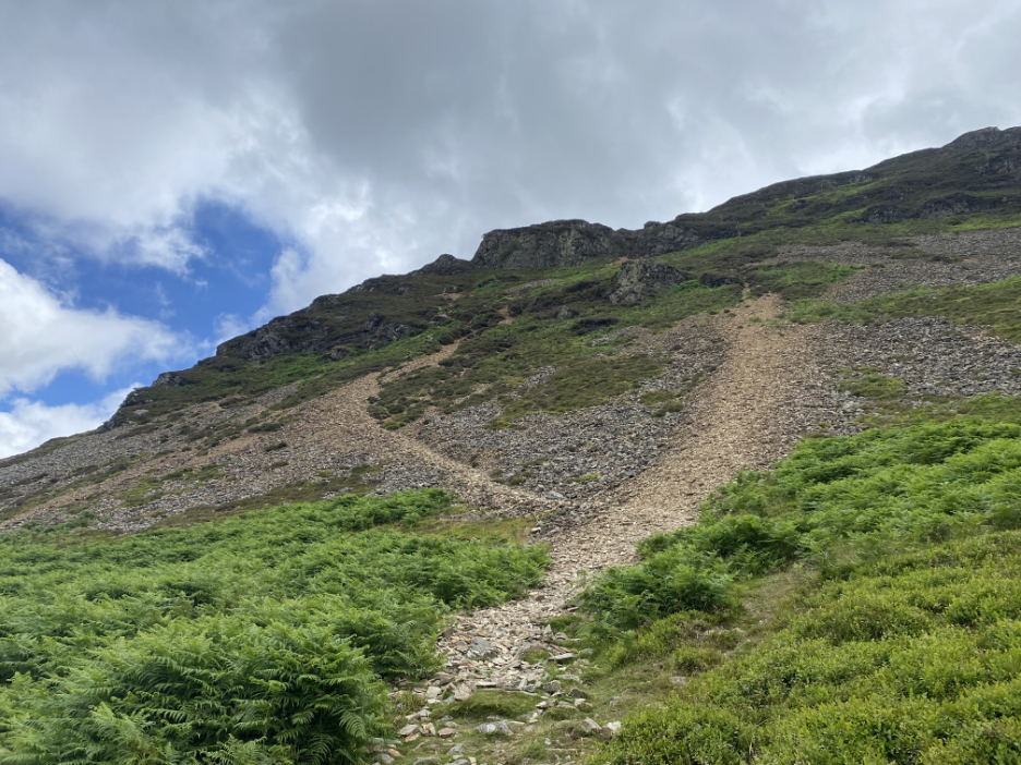
Faced with the prospect now of the more horizontally-challenged section of the walk. The trick here is to avoid the scree as much as possible and take as many side zig-zags through the heather as possible.
Not all of them, as the dogs found this one and had to come back the same way. Still the view is always nice on a good day . . . looking down on the Kirkstile and the Loweswater Valley below.
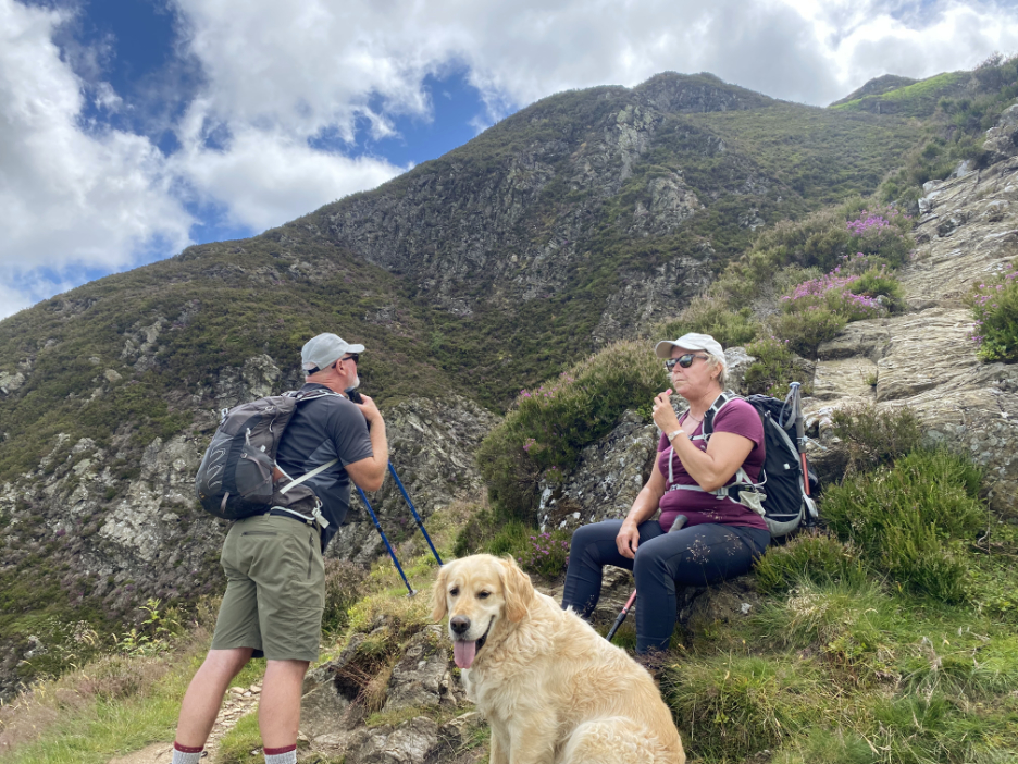
Time for a sip of water as Stuart contemplates the path or the rock scramble option. The rock is fun but the path probably the safer option for novices.
Two thirds of the way up now and going strong. Another dead end path offers a nice view all the way up to Buttermere, Fleetwith Pike and the top of the valley. This is known in the book as Wainwright's "Peep round the Corner".
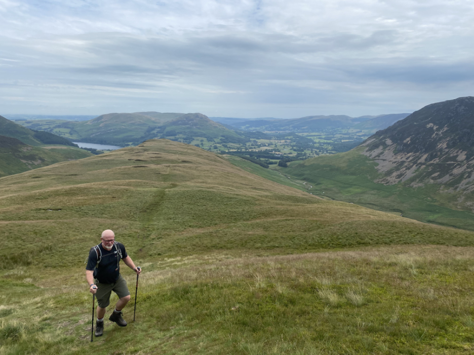
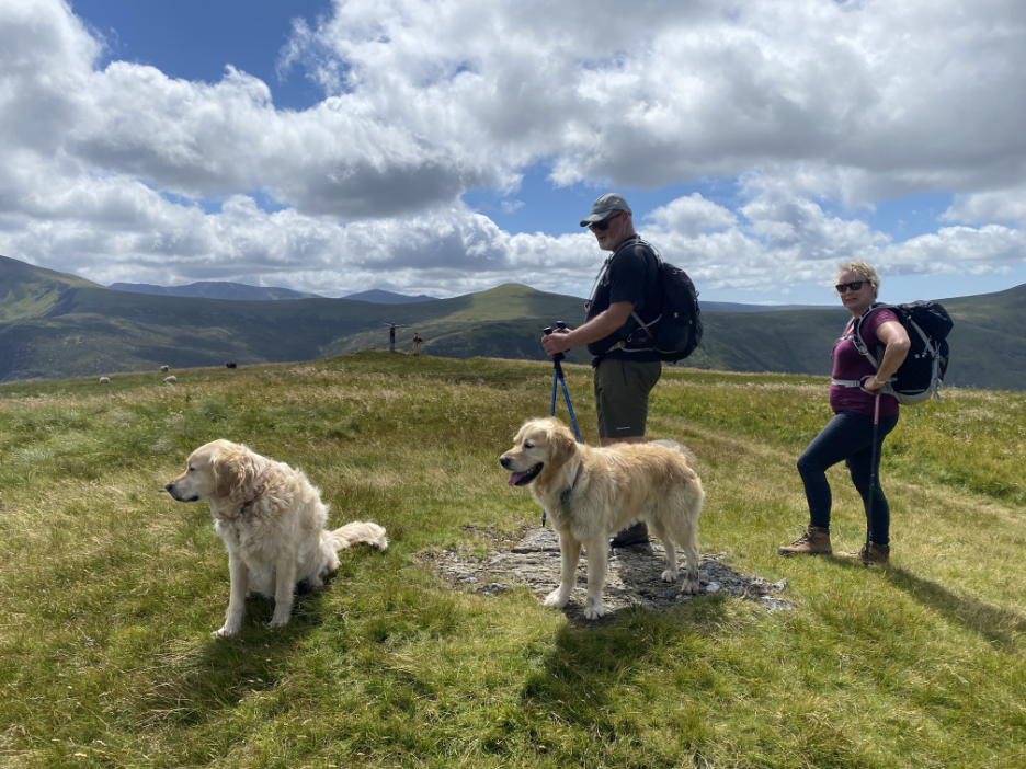
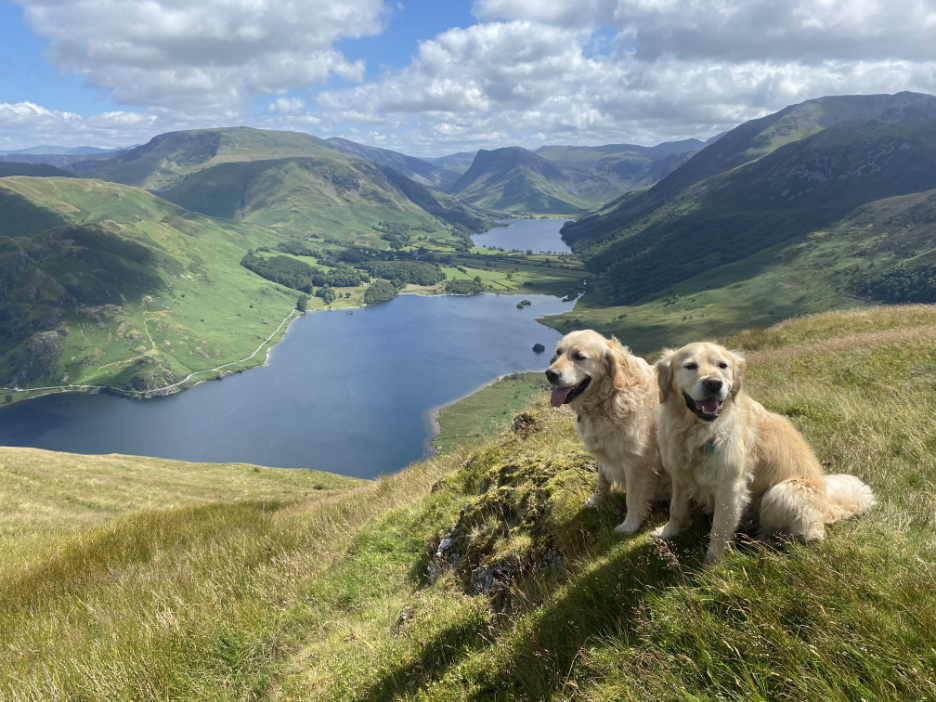
At leisurely pace, which including a diversion across to see the Pinnacles, we continued our walk which brought us over to the main (southern) summit, a full nine feet higher than the northern end.
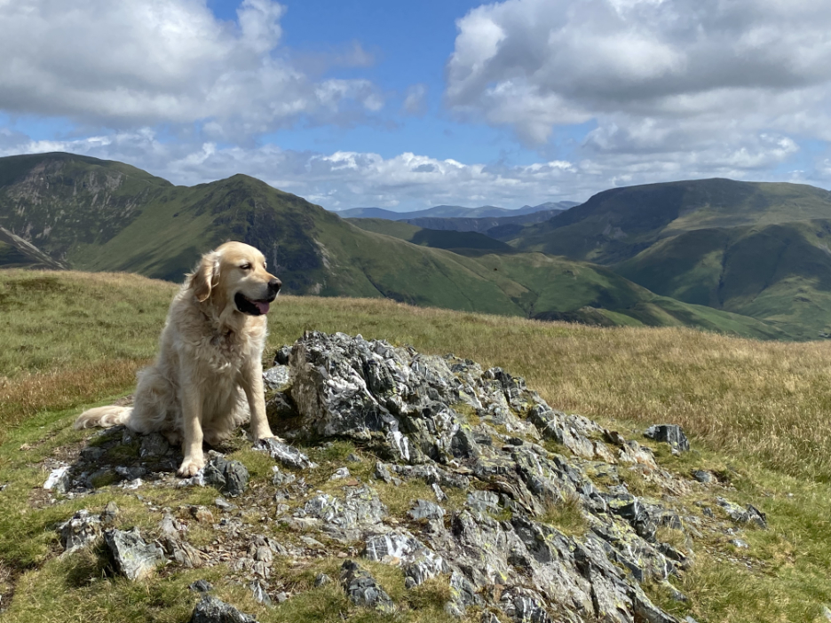
There's a more attractive, rocky outcrop just beyond, but it is just that little lower than the true summit.
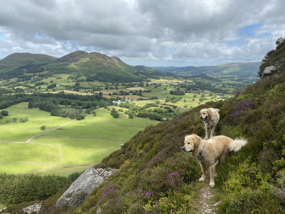
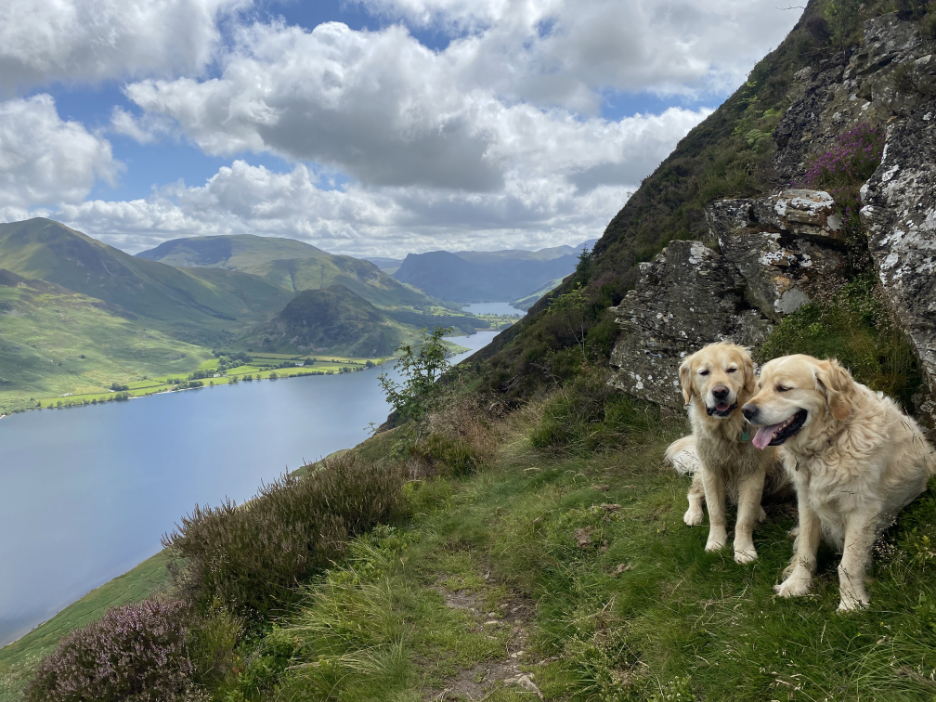
From our lofty perch the views down to Buttermere and the top end of Crummock Water were delightful.
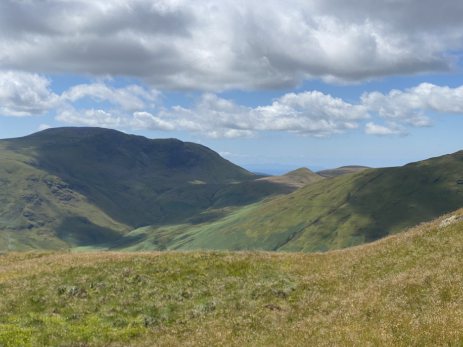
A text message from BT welcomed me to the Isle of Man ! Obviously the phone signal from the island, seen here in the gap between Floutern Cop and Great Borne, must be stronger than that from the closest main land phone mast.
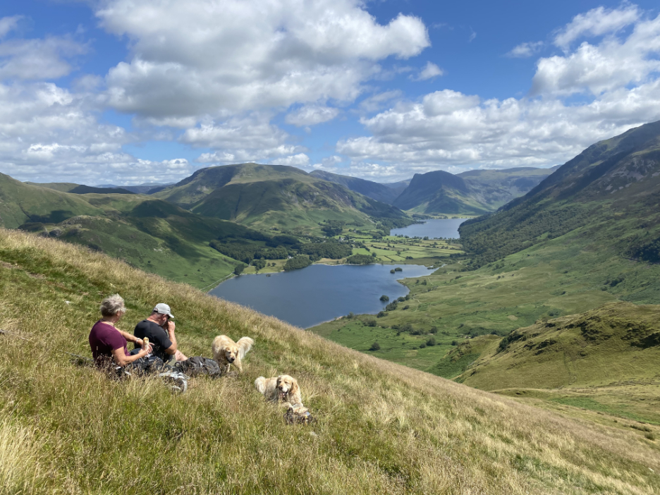
Our relaxed walking style meant that lunchtime crept up on us whilst we were still high on the fell. As the views were good we took the first opportunity, once clear of the gentle cooling breeze, to indulge in some light refreshments.
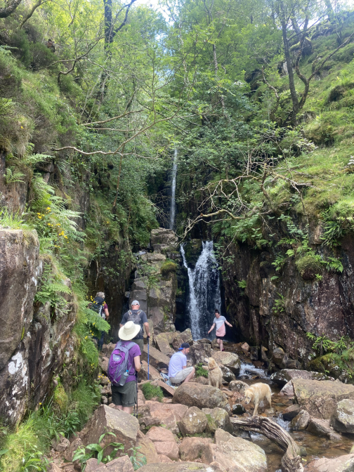
Our next objective was Scale Force (waterfall) which is hidden in a deep cleft down by the group of trees in the centre of the picture.
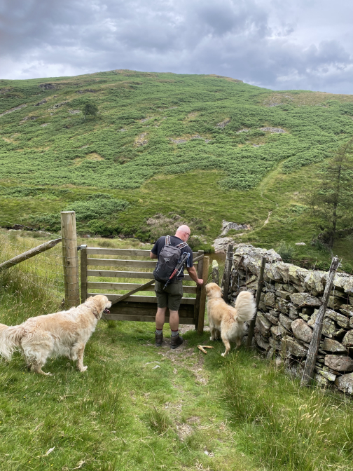
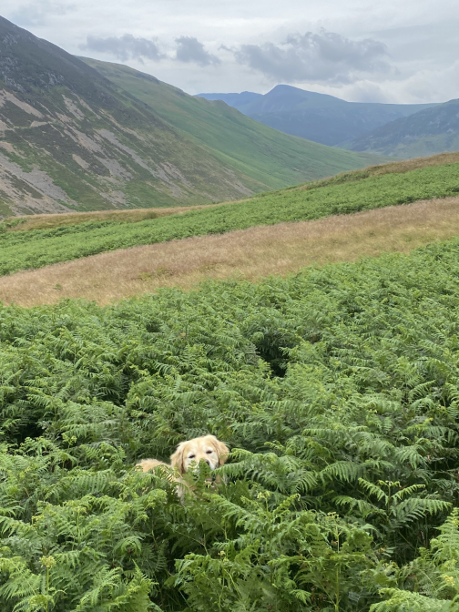
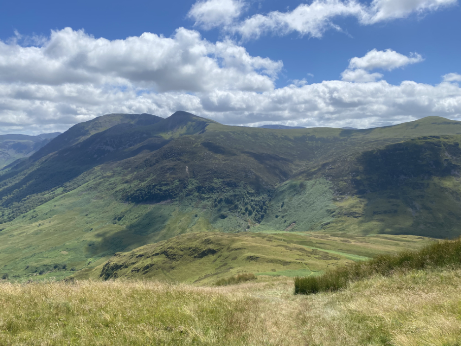
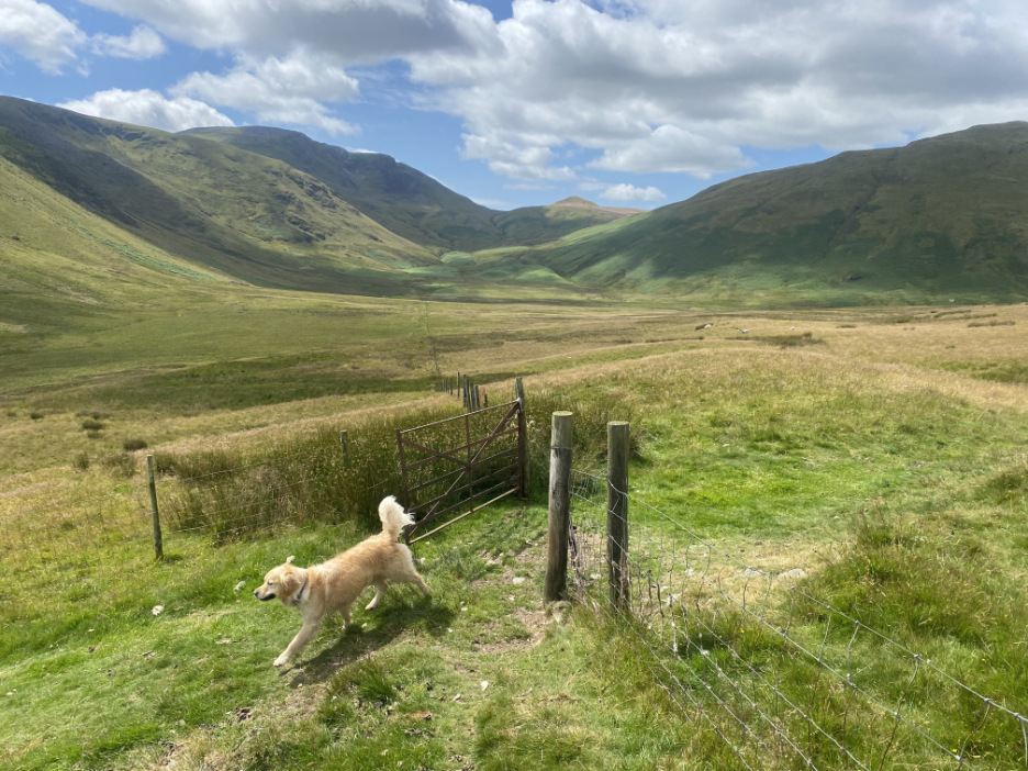
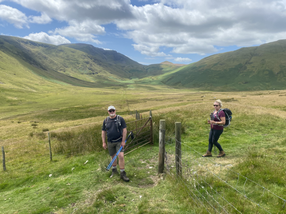
Looking across Mosedale, the mossy dale or bog (!) that fills the head of the flat valley. Dougal finds the gate open and proceeds accordingly.
Stuart and Hazel follow his lead as we cross the fence line that extends all the way across the valley.
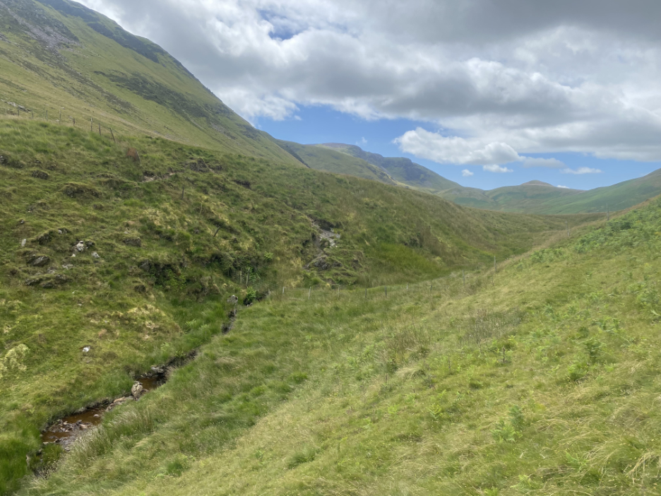
The higher end of the valley still manages to support a small stream, the Black Beck, that gathers the surplus water from the southern slopes of Mellbreak and the northern slopes of Gale Fell.
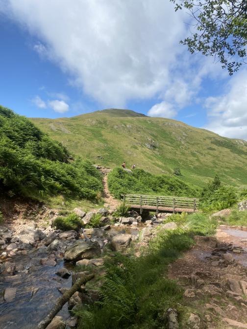
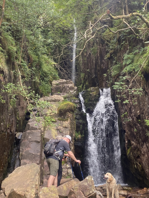
Despite the seemingly small catchment area, this waterfall is always running. The height and vertical nature of the fall classifies it as the highest single direct drop of any Cumbrian waterfall.
- - - o o o - - - We ventured up the rock but hardly further than the top of the falls as conditions were so poor under foot. From here we returned to the bridge and then followed Scale Beck down towards the lake.
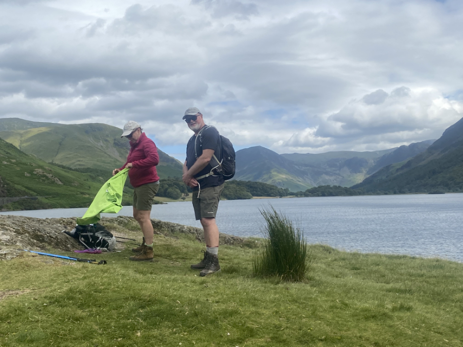
A fine weather sky and good sunshine made conditions ideal for walking . . .
. . . and even the slight breeze didn't dampen the enthusiasm for a swim in the lake at Low Ling Crag.
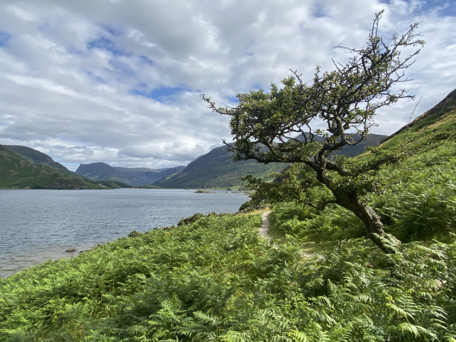
Looking back, leaving the Low Ling crag promontory well behind now. The old Hawthorn tree always encourages a photo as I pass.
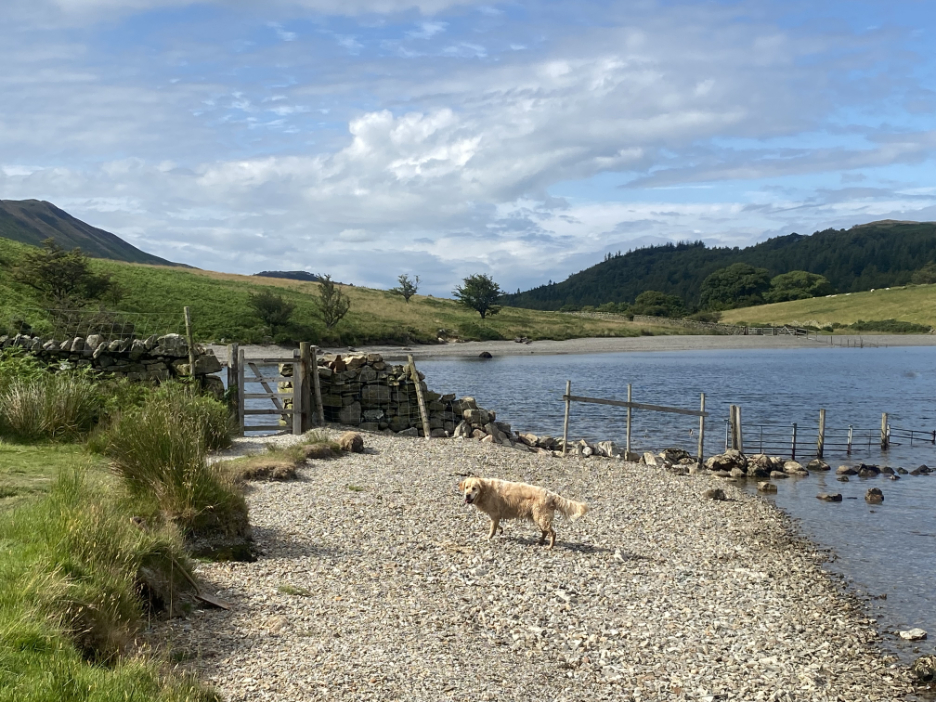
The gate leads us on towards "Sandy Yat" . . . the beach with the gate.
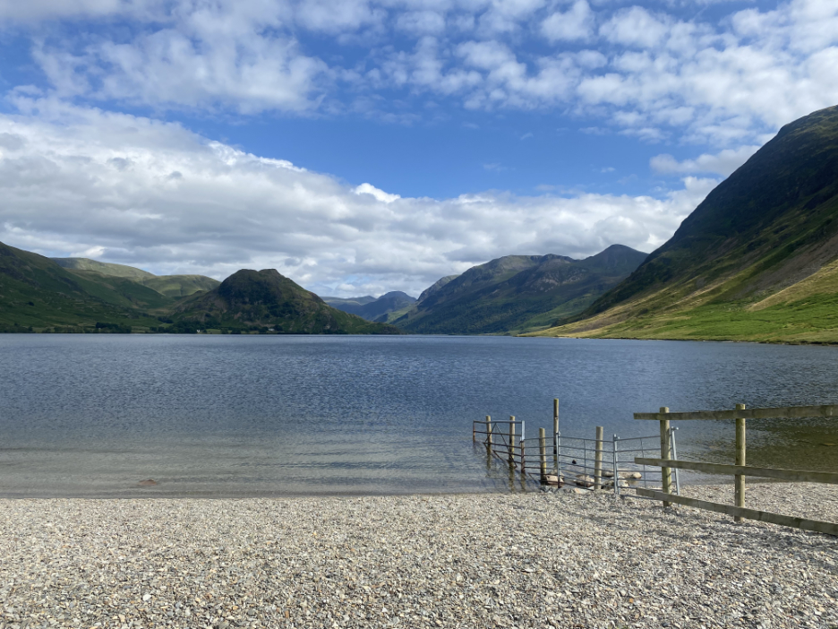
Tempted as we were for another swim, we passed in preference to a return to the Kirkstile, where Stuart and Hazel were staying during their short stay.
|
Technical note: Pictures taken with my Panasonic Lumix Gx8 Camera.
Resized in Photoshop, and built up on a Dreamweaver web builder.
This site best viewed with . . . that north face conquered. !
Go to Home Page . . . © RmH . . . Email me here
Previous walk - July/Aug - Family Summer Selection
A previous time up here - 2nd June 2011 Mellbreak with the Family
Next walk - 4th Sept - The 2022 Loweswater Show