|
|
|
 |
Remember: Press F11 for a
full screen view of this page. |
Web Counter when published 1
984 050 |
|
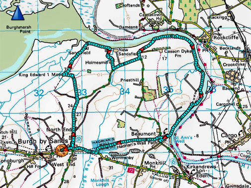
" Burgh by Sands - on the Solway " Date & start time: 21st April 2022. 10 am start. Location of Start : The Sports Field car park, Burgh by Sands, Cumbria, Uk. ( NY 325 591) Places visited : King Edwards Monument, Old Sandsfield, River Eden, Beaumont, Burgh. Walk details : 8.1 miles, 400 ft of ascent, 4 hours 15 mins. Highest point : Beaumont Church Mound, 115 ft - 35m. Walked with : Twelve of the Mockerkin Mob, plus myself, Loes and 3 dogs. Weather : Sunshine and blue skies.
|
© Crown copyright. All rights reserved. Licence number PU 100034184. |
|
Another walk with The Mockerkin Mob, friends and neighbours who live in or around Loweswater. Today the suggestion was to travel to the northern extreme of the county, in fact the northern extreme of England for a walk through history. We're promised battles, bird life and Roman remains on this very different Cumbrian walk.
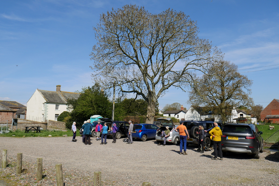
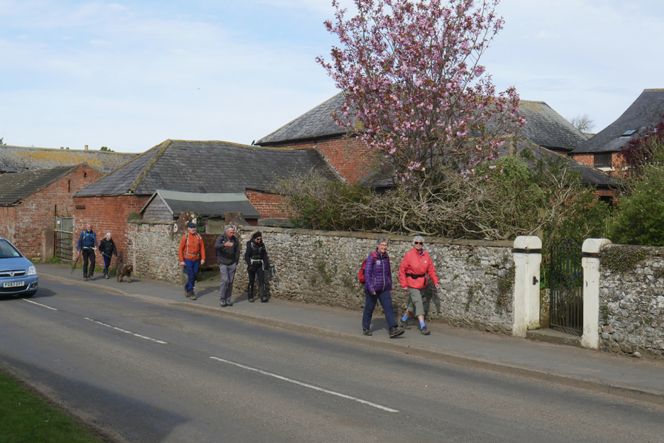
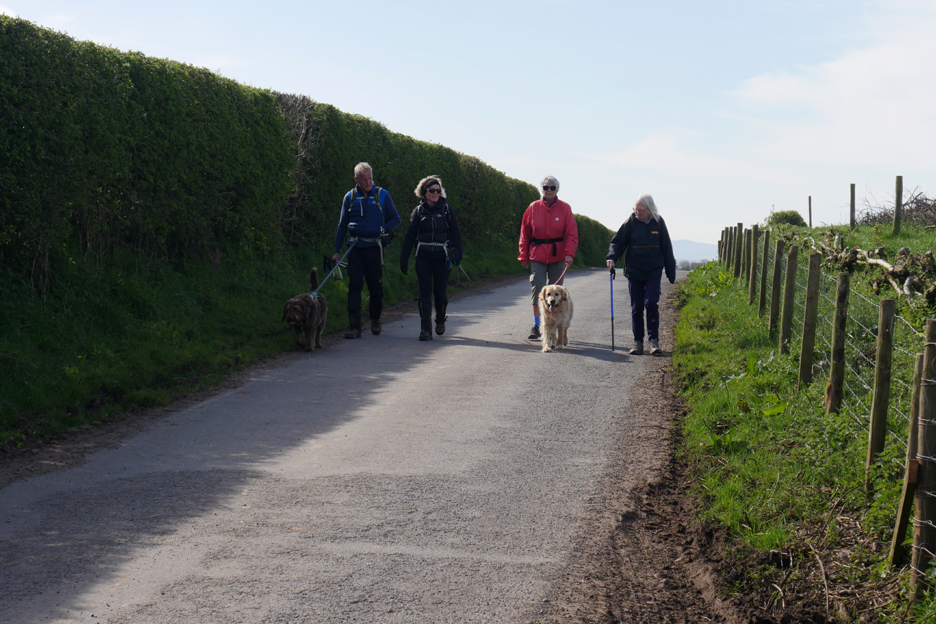
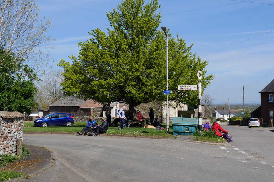
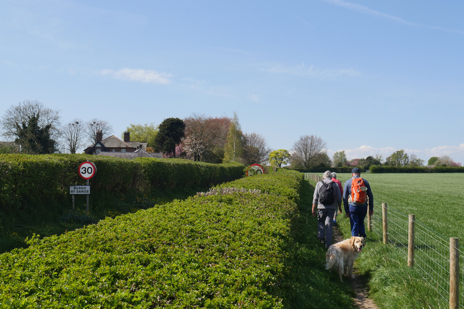
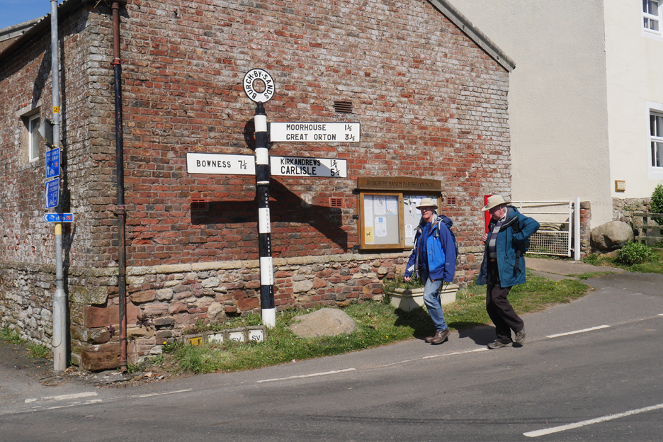
We meet up in the car park by the local Burgh playing fields . . . start time 10am.
A slightly cool breeze encourages people to wear jackets at the start the walk.
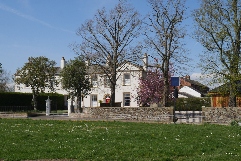
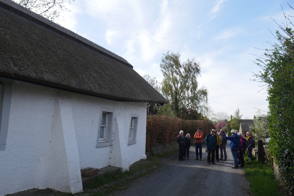
Peter, who led the walk, informed us that the village had been continuously occupied since Roman times, or perhaps even before. Consequently there's a whole range of housing styles to be found within the village. Here was a modern home resulting from prosperous times.
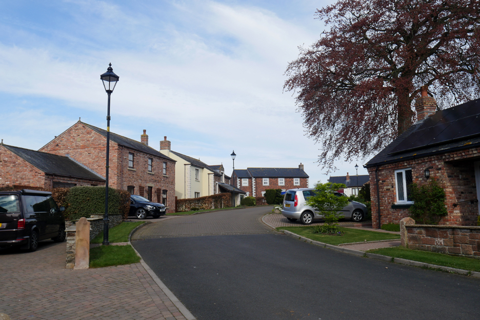
We pass a modern estate too, housing demand no doubt being led by the close proximity of Carlisle.
Prosperity in older times was indicated by brick housing rather than stone. Bricks were easier to build with but were more expensive as they needed to be "imported" to the area. None are made locally.
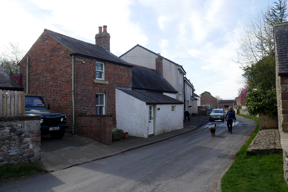
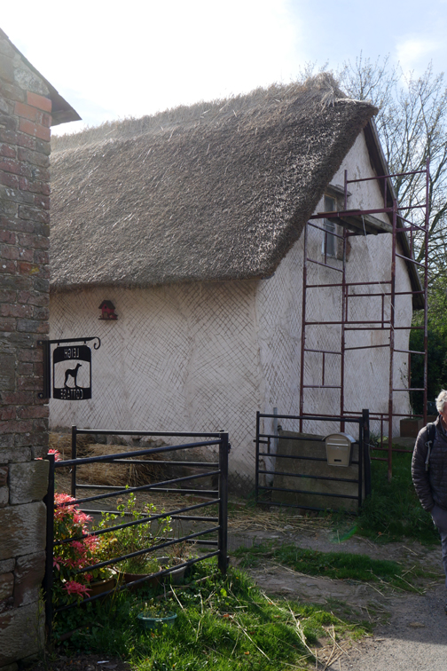
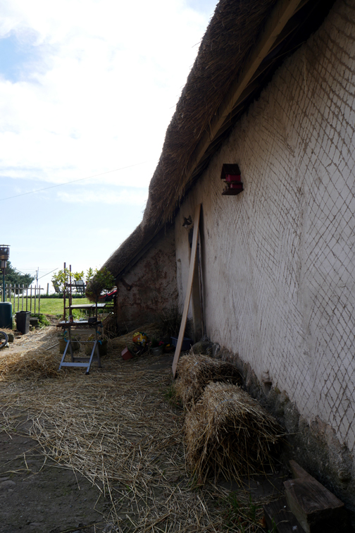
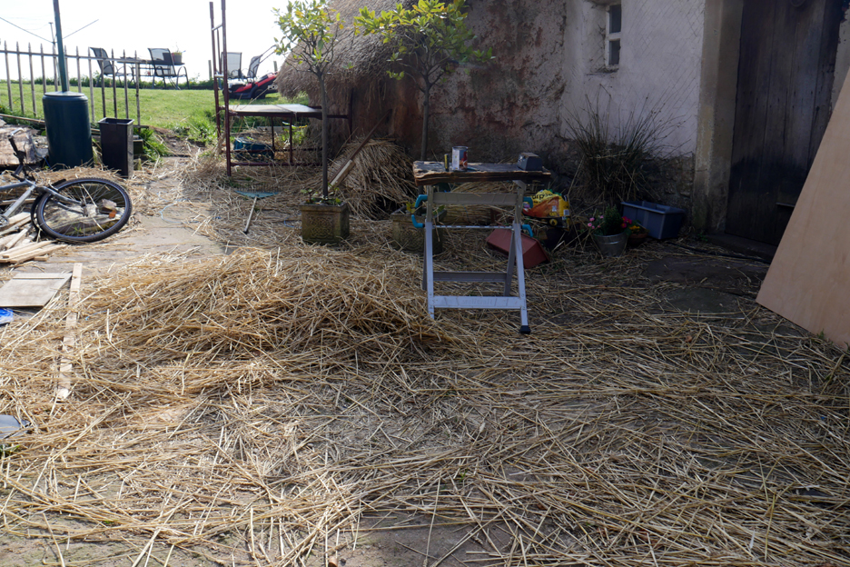
The older housing would have been wattle and daub construction with thatched roofs made from 'rushes' off the Solway Marshes. This beautifully maintained cottage exhibits both these features.
The thatcher, though not currently slaving away in the sunshine, has left all his equipment out ready to continue his craft.
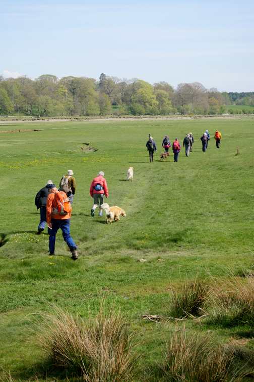
We leave the village behind and climb the hill, passing the trig point on the way ! In actual fact the hill was barely fifty feet and the trig point hidden behind the hedge so couldn't be seen. Still it makes a good heading for a photograph !
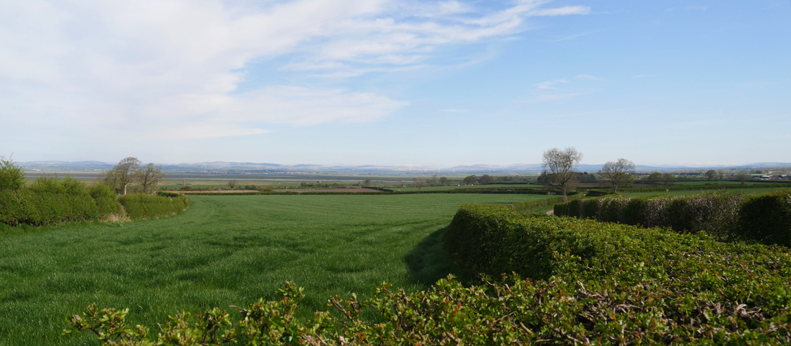
Steeply down the almost level slope on the other side of the hill. Ahead of us is the Solway Estuary where the southern arm, The River Eden, flows out to the sea. In the distance beyond are the low hills of Dumfries in Scotland.
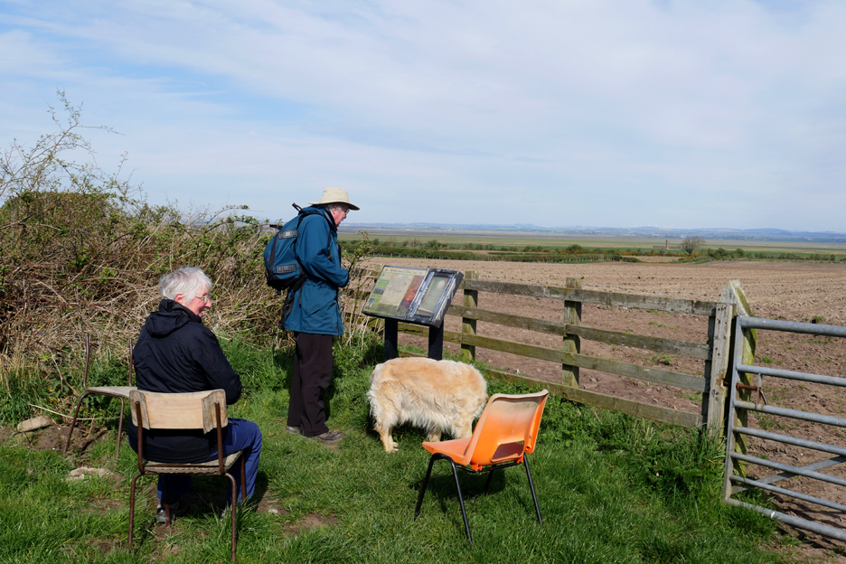
The chairs and the sign may have seen better days but still manage to achieve their original purpose.
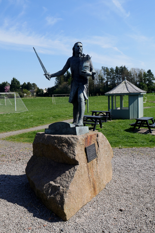
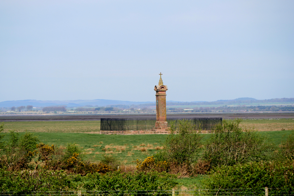
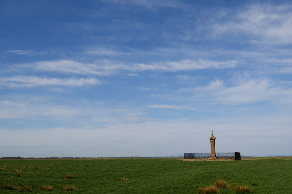
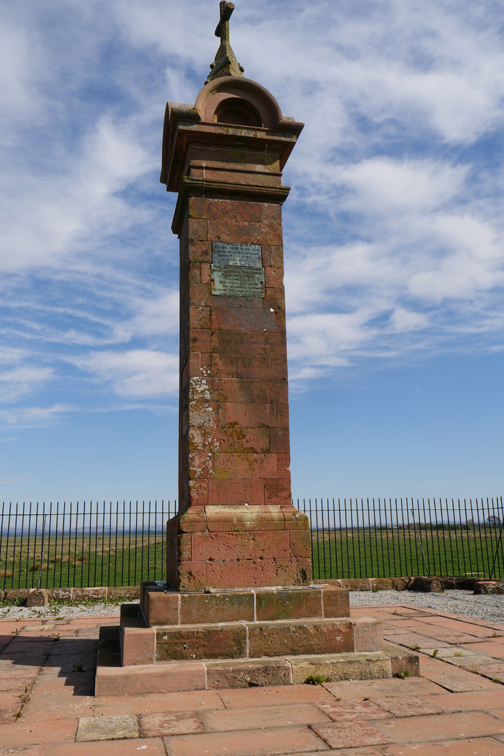
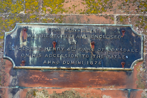
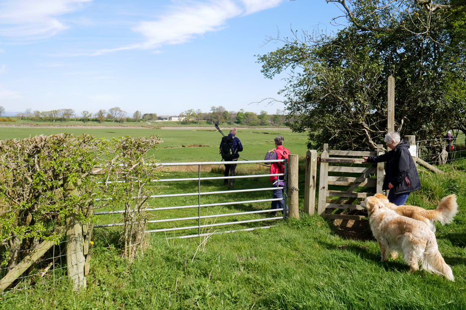
The information board highlighted the Monument that could be seen down on the edge of the Solway.
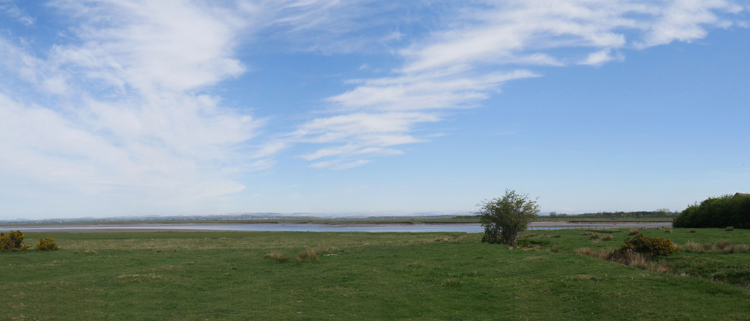
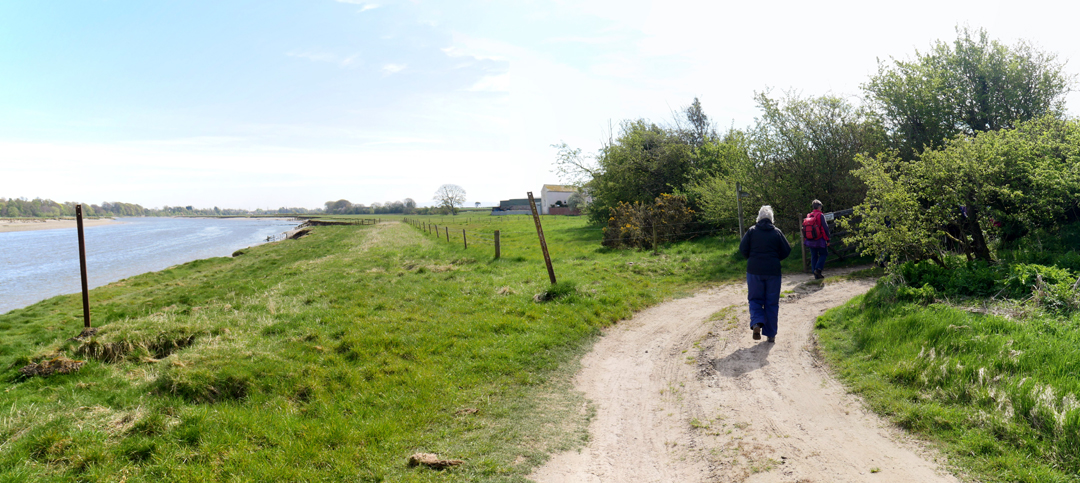
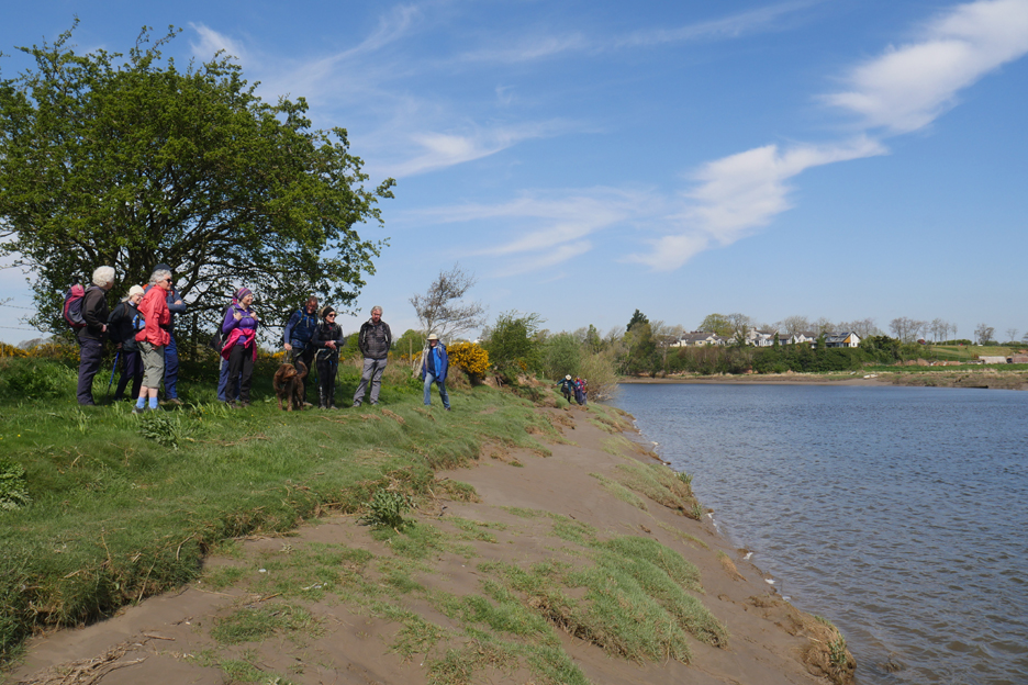
When we left the farmland and reached the gate to the Solway shore, what struck me about the view was the big open skies of the estuary.
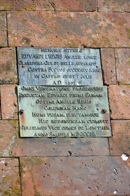
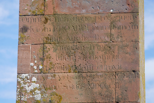
Sadly for Edward's fighting reputation he didn't die courageously in battle, but finally succumbed to dysentery whilst gathering troops to march north. Why here ? . . . this area had space to gather an army and to cross the solway at low tide.
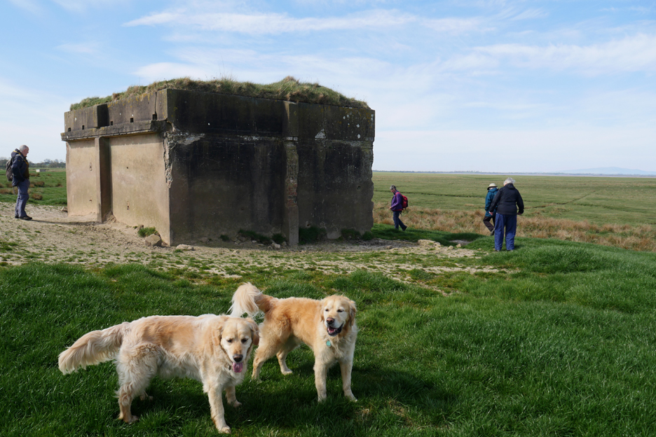
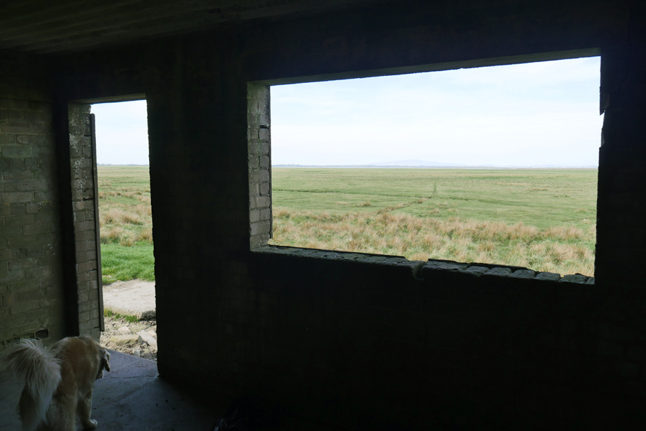
During the First World War in the 20th century, this area was important for munitions production and testing. This building was thought to be an observation post to protect those supervising the munitions tests, hence the solid nature of the building.
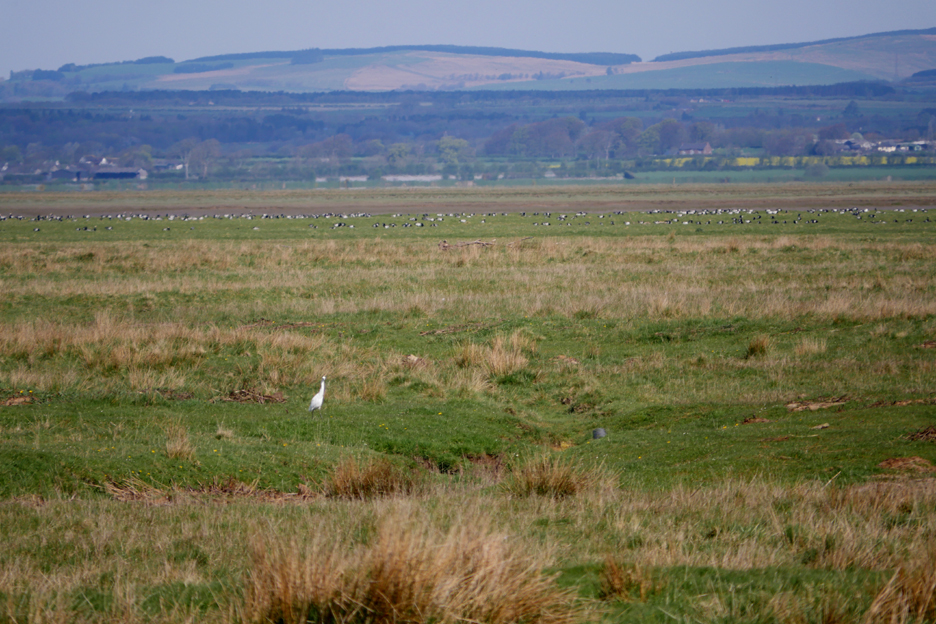
and that we should therefore have a good view of numerous species down here on the marsh today.
As it was, our only noteable view was of this lovely Egret, who stayed a short while before flying off. On looking at the photos back home I also noticed a large number of other birds in the distance, that were not as obvious to the naked eye on the day.
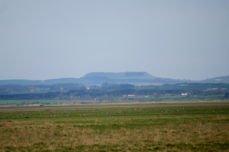
More birds on the marsh as we look over the Solway to Burn's Table away in the distance. The flat top hill is famous for Roman remains, especially their armaments. It was thought to be the site of an important Roman battle with the Celts.
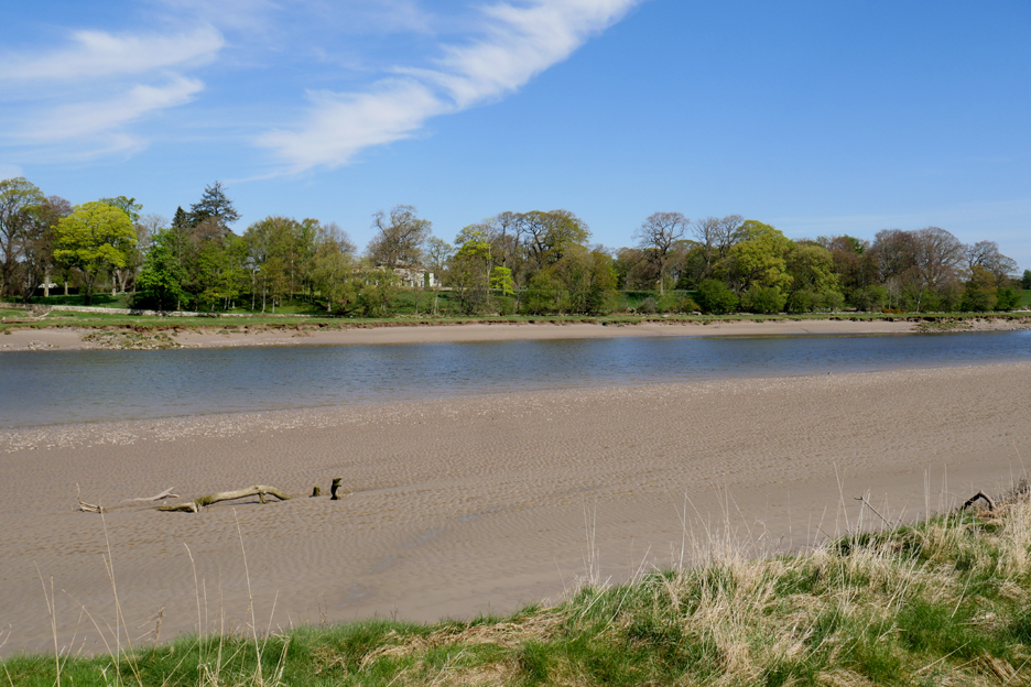
Big skies again as we approach the River Eden, downstream from Carlisle. The northern arm of the Solway is the River Esk which flows out through Gretna Green and that claims the Scottish Border today.
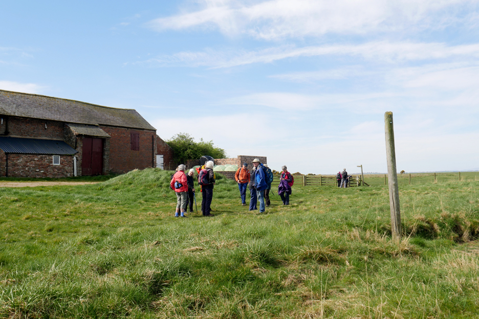
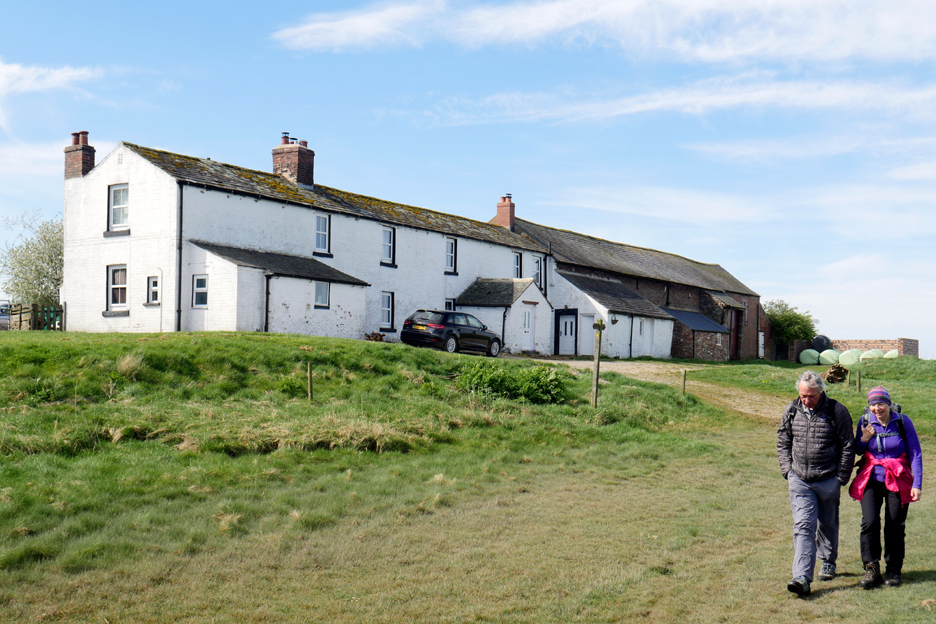
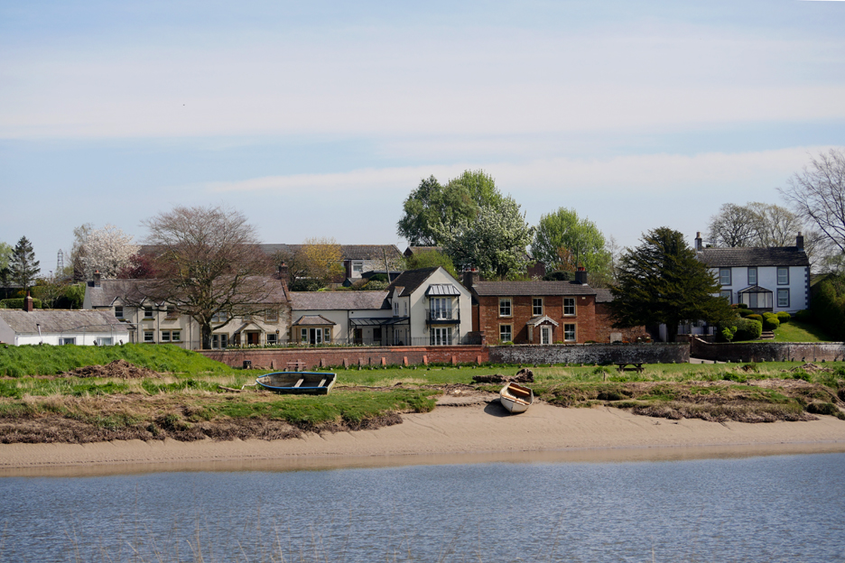
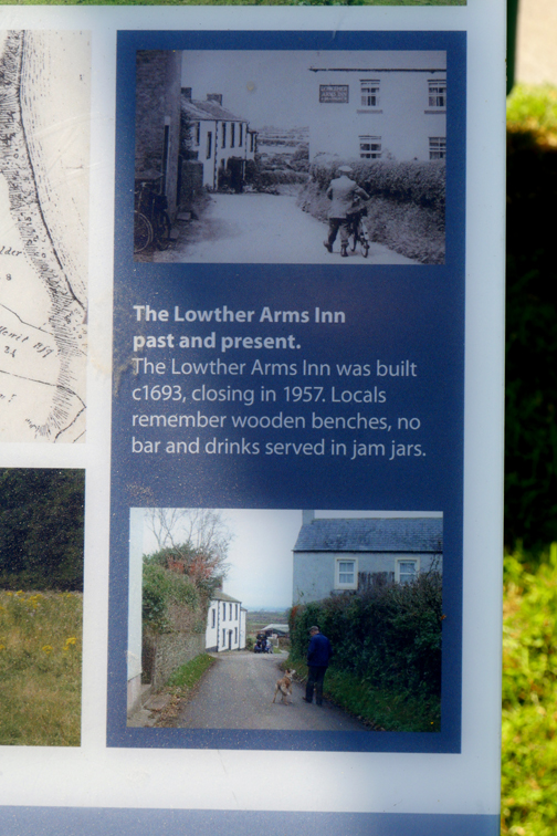
We reach the Old Sandsfield Farm down on river.
The farm was an old Inn which served the travellers that wished to cross the river on the old Stone Wath, a causeway now lost in time. It was also the inspiration for a novel by Walter Scott called "The Bride of Lammermoor" where the building was named the Lady Lowther Inn.
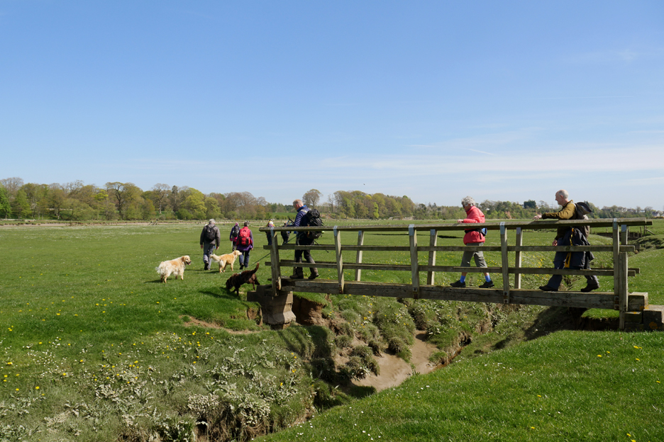
A short walk along the river bank and then the track heads inland.
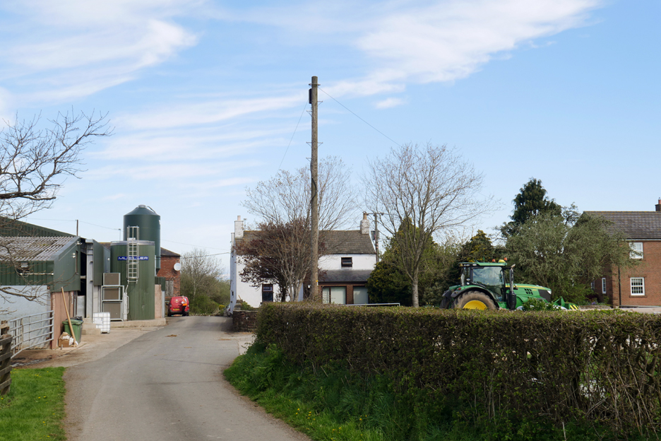
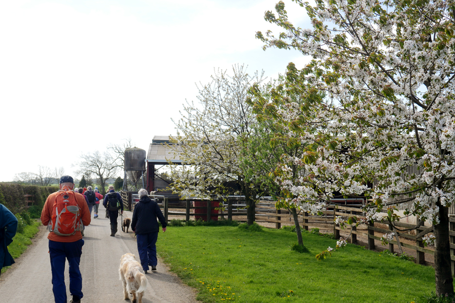
We passed a large modern dairy farm of Holmesmill.
Alongside the extensive farm buildings were beautiful flowering cherry trees.
However Peter directed us back to the river . . .
A salt marsh bridge looks substantial, but those concrete bases and timbers have seen better days.
Across the way we viewed the impressive Demesne Farm and seen here, the grand Castletown House.
Wildlife interest rose as we sighted a raft of swans out on the river. In contrast to the fields on this shore, the opposite back had outcrops of colourful red sandstone.
This would give rise to the name of the local village . . . Rockcliffe.
Sea defence walls protect the houses from the high tides in the river.
On this side the course of the path was often disrupted by the river having washed away the grassy shoreline.
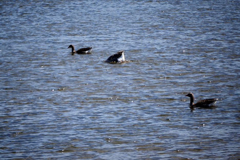
More wildlife in the shape of two-and-a-half greylag geese.
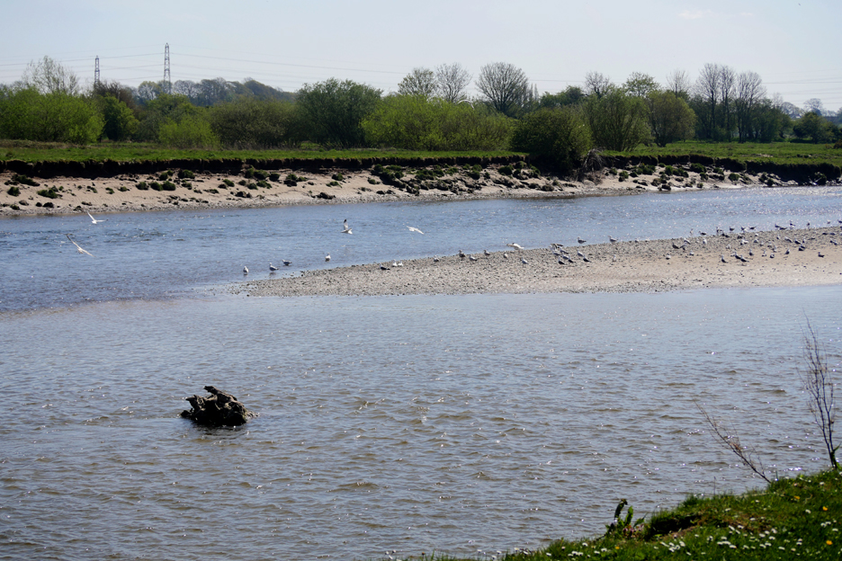
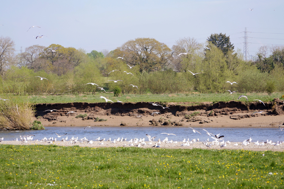
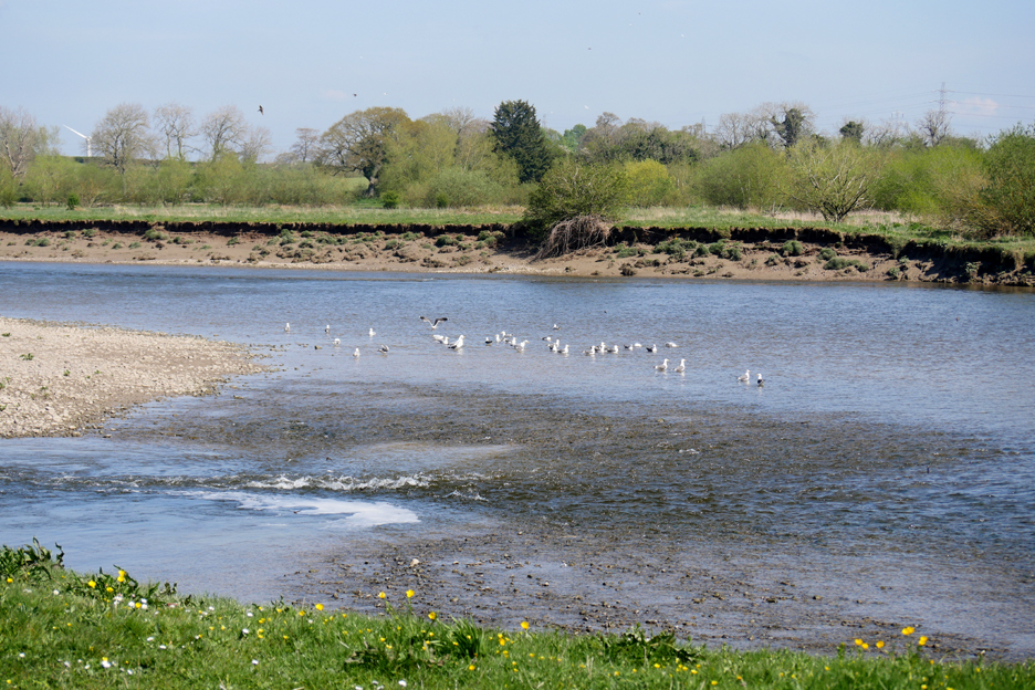
Numbers were swollen on the sand bar that has formed in the river. The majority of the birds here were gulls.
Many of them were lesser black backed gulls, which occasionally took flight as we walked the river bank.
Also there, though they were difficult to photograph, were sand martins. They were the smaller birds to the left of the picture, but as they never settled so catching a close up was impossible.
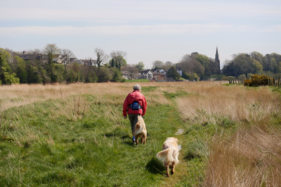
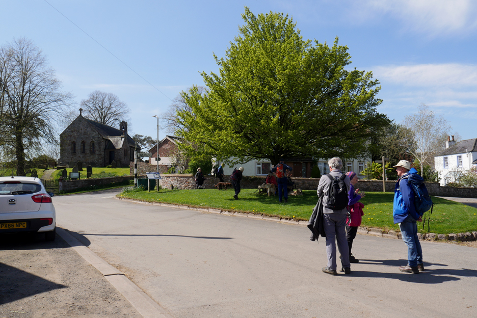
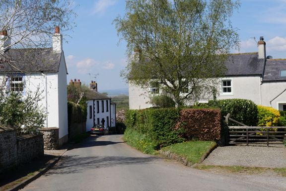
Finally the erosion got the better of the path and we took to the road as we approached Beaumont Village.
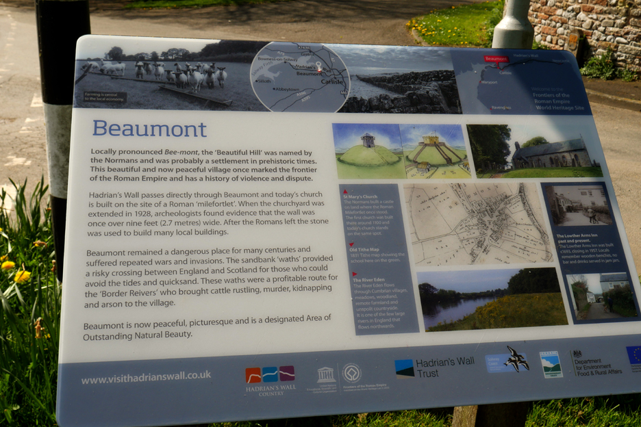
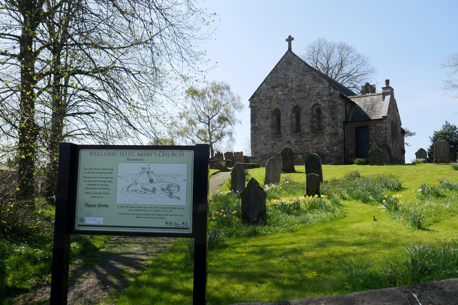
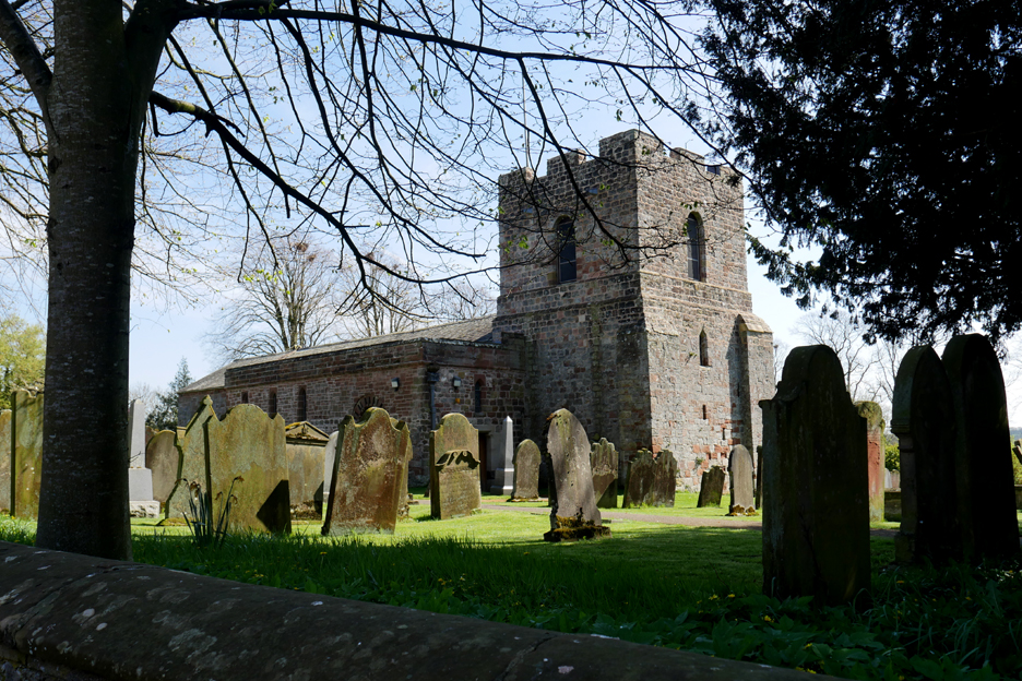
Beaumont was established as a Roman Fort because of the high ground from which it commanded an extensive view. The Mound first held a roman fort, then as time went on it became the site of a Motte and Bailey Castle. As the era of the Church took over from the era of Castles, the motte or mound became the site of a fine little church.
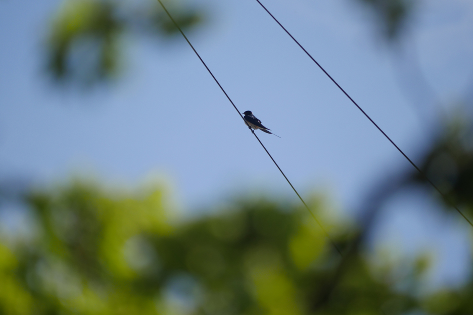
The first swallows of Spring. As we sat and enjoyed our lunch we were entertained by several swallows, one of which posed on the wire long enough for a photo.
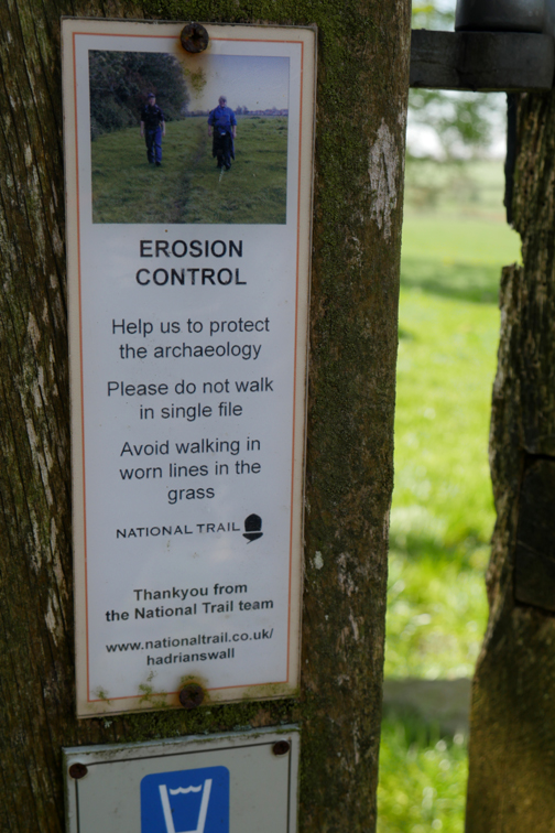
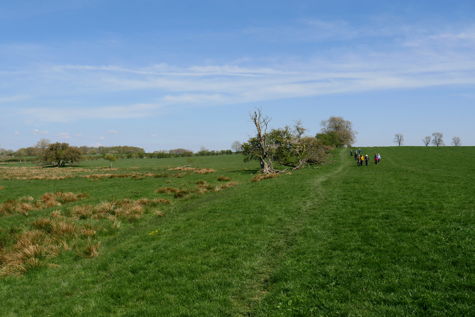
The footpath follows the route of the Roman Vallum or ditch, seen on the left hand side beside the small bank. Our party seems to have read the notice, presumably the National Trail Team didn't want people to wear a path through the roman remains.
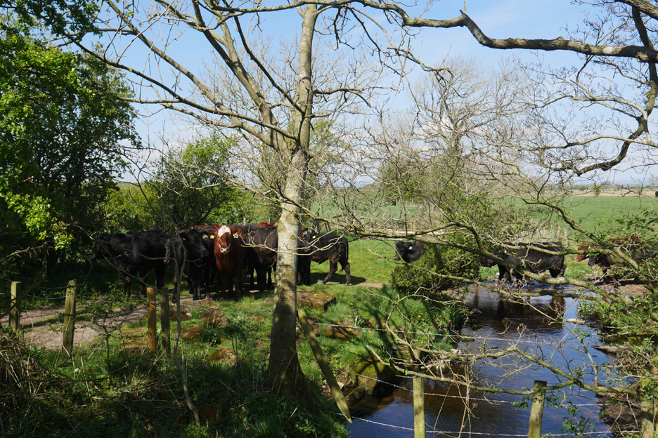
On entering the large field we waited while a herd of young beef cattle ran past us. On reaching the other side of the field the cattle had done a complete circle of the field and began running back towards us. A slight scare tactic caused them to divert across a ford to the gate at the field exit. By that time we were safely behind the fence !
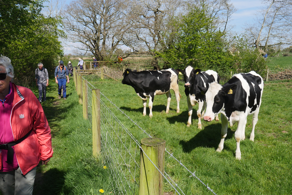
Alongside the fence in the next field we were greeted by similarly enthusiastic dairy cattle. We think they have must have all just been released from their winter quarters. For whatever reason they took a particular interest in us and the dogs . . . but we were safely separated by a rather nice fence.
Our path diverted behind a hedge so as to avoid conflict with the traffic as we re-entered Burgh by Sands.
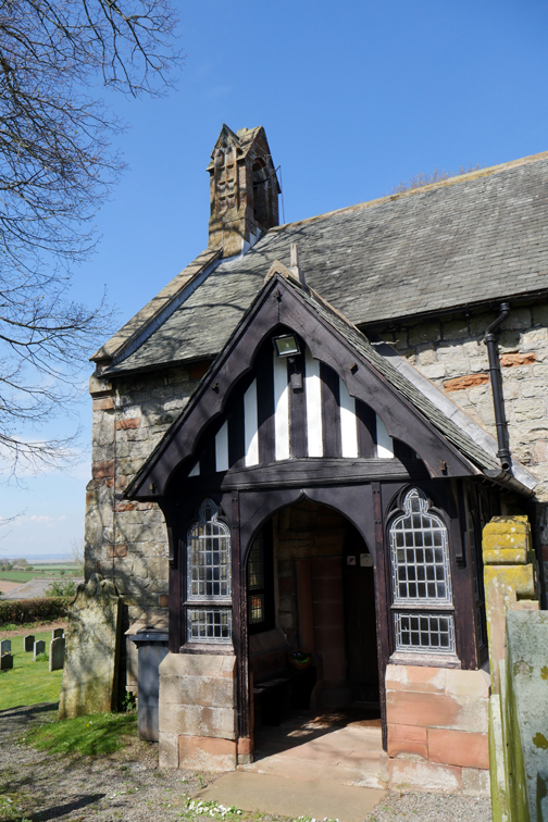
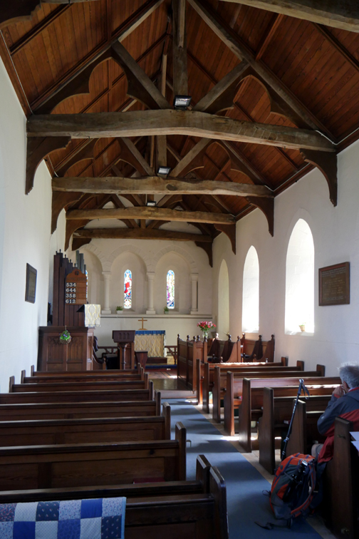
The village church where the body of Edward 1st was laid in rest all those centuries ago. It lay awaiting collection for burial in Westminster Abbey in London.
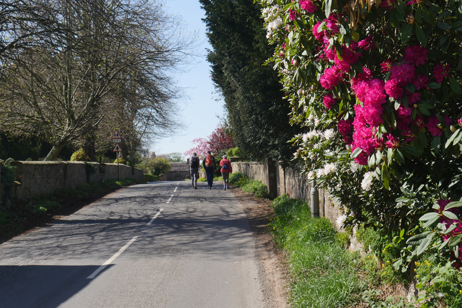
Spring sunshine making the rhododendrons shine.
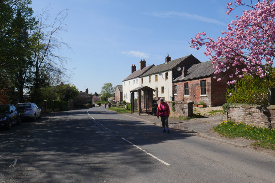
Loes stops for a photo by a flowering cherry in the village.
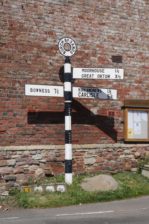
Finally we are back at the signpost we passed at the start of the walk. Everyone commented that this had been a most surprising walk, still within the county, but visiting sights quite unlike the Cumbrian countryside that usually graces Loweswater and Mockerkin Mob territory. - - - o o o - - - With thanks to Peter, we all said our goodbyes and started on our way home.
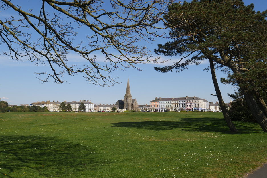
We chose a slight diversion via the picturesque town of Silloth for our return trip to Loweswater. The main street is cobbled with numerous shops and tea rooms as befits the holiday town. When the railway from Carlisle was running, it was the place to go on holiday during "stop fortnight".
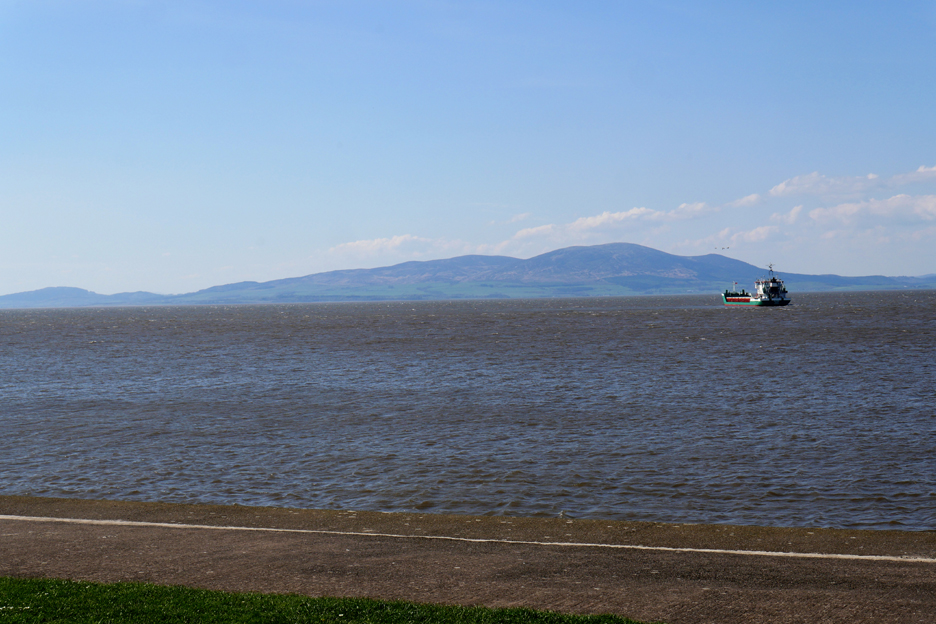
As we arrived a local coastal cargo boat had just left the dock. He had probably just delivered flour for the Carlisle Biscuit Factory, ready to make your favourite McVities Ginger Biscuits ! - - - o o o - - -
- - - o o o - - - |

Technical note: Pictures taken with my Panasonic Lumix Gx8 Camera.
Resized in Photoshop, and built up on a Dreamweaver web builder.
This site best viewed with . . . a walk in so many different UK landscapes in one day.
Go to Home Page . . . © RmH . . . Email me here
Previous walk - 20th April 2022 - Langstrath Black Moss Pot
A previous time up here - 18th June 2020 - Garden wildlife and Port Carlisle
Next walk - 21st April 2022 - Newlands and Goldscope