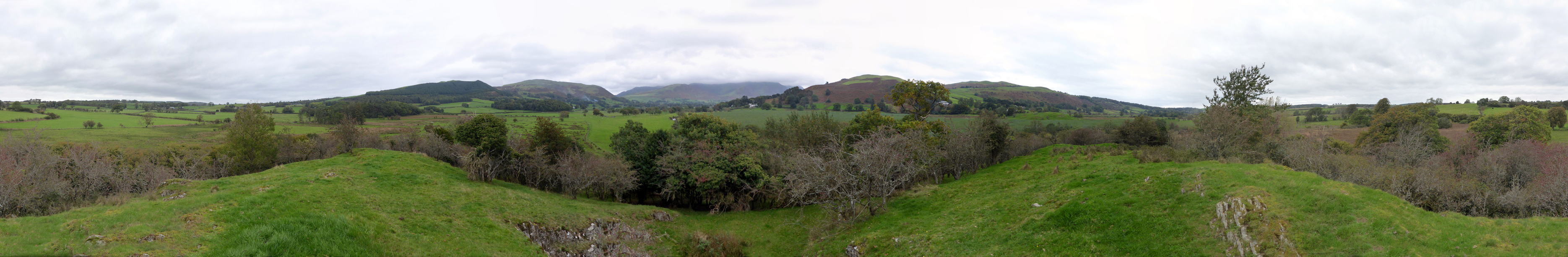
| The high ground near Hundeth
Hill on the way to Cockermouth. |
North towards Bassenthwaite Lake. |
(Wooded) Harrot Fell and Lorton's Kirk
Fell. |
The Hopegill Head / Whiteside massif under
cloud. |
Hatteringill Head and Fellbarrow. |
West towards Mosser beyond the River Cocker. |
Stanger How summit - a whole 83 metres
above sea level. |
The woods surrounding Stanger Spa. |
![]() Click here to go back to The Stanger
How page ( or better still just press your back space key )
Click here to go back to The Stanger
How page ( or better still just press your back space key )
Technical note: Pictures taken with with my Panasonic Lumix TZ60 Camera.
Panoramas created using Microsoft ICE Program.