|
|
|
 |
Remember: Press F11 for a
full screen view of this page. |
Web Counter when published 1
936 925 |
|
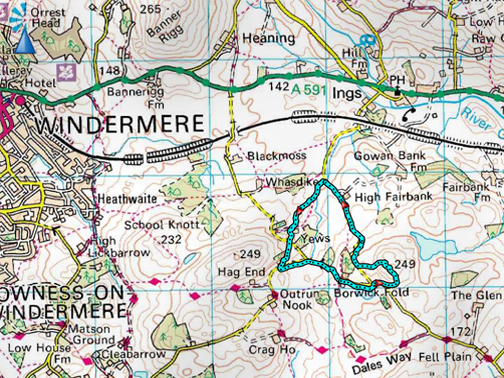
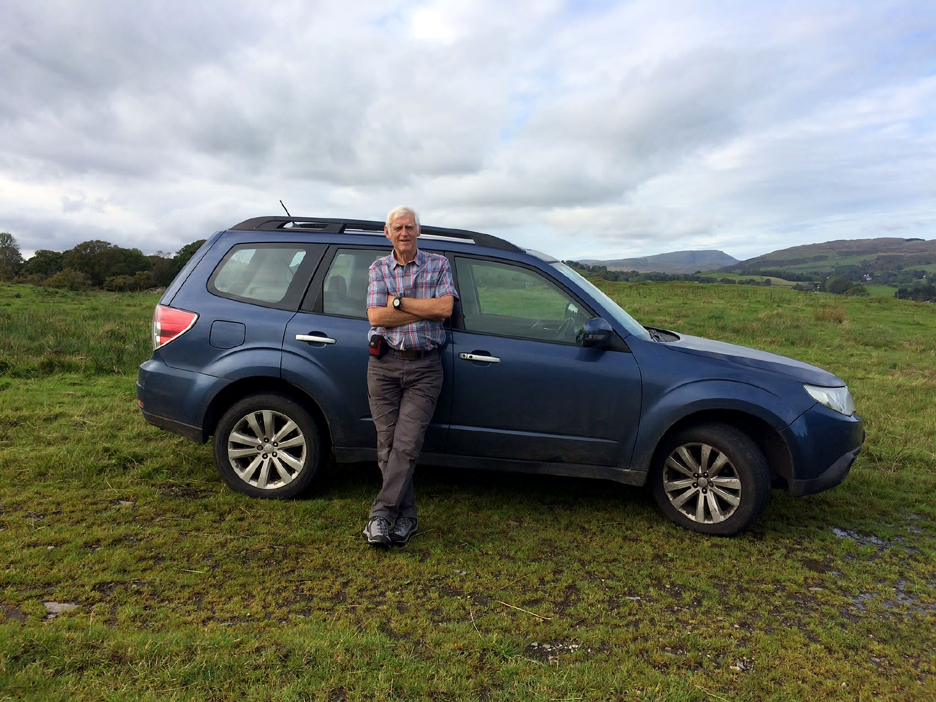
" Yews and Borwick Fold " Date & start time: 6th October 2021. 2.30 pm start. Location of Start : Roadside, High Fairbank, Ings, Cumbria, Uk. ( SD 440 979) Places visited : Yews Farm, Borwick Fold, Bob's Knob and back to the car. Walk details : 2.2 mls, 400 ft of ascent, 1 hours. Highest point : Bob's Knott, 809ft - 249m. Walked with : Pete Burgess. Weather : Sunshine and various types of fluffy white clouds.
|
© Crown copyright. All rights reserved. Licence number PU 100034184. |
|
On returning from an unscheduled journey down south I had time to call into Staverley to see Peter and Barbara Burgess. After lunch in the Water Mill Pub at Ings with Barbara's friend John, Peter and I headed off for a local walk without any dogs this time as I was yet to collect them from their overnight dog-sitting stay with their retriever friend 'Bracken' in Lamplugh.
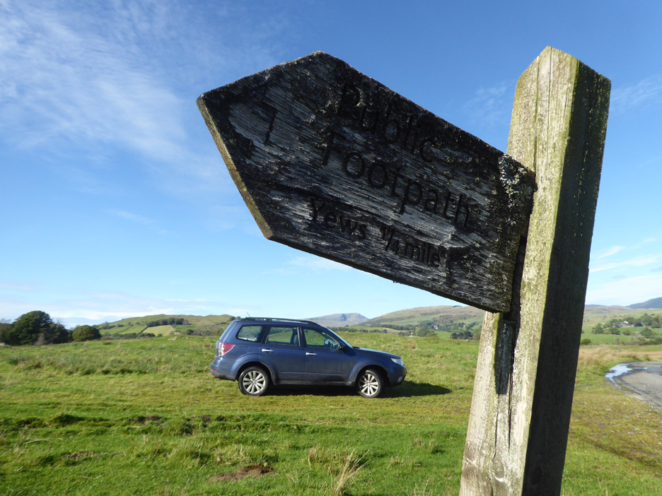
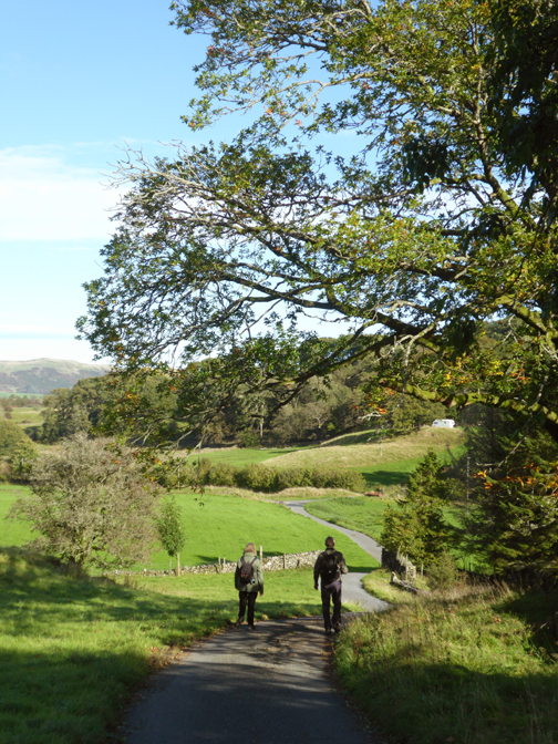
Peter suggested an hour's walk on the less frequented lands between Ings and Windermere which started at the footpath signpost to Yews Farm, on the unclassified road that leads south from Ings.
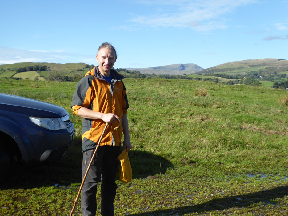
Peter in good form today as his boss suddenly changed his day off from tomorrow to today so enabling us to meet up for a stop-over and this walk on my journey back home.
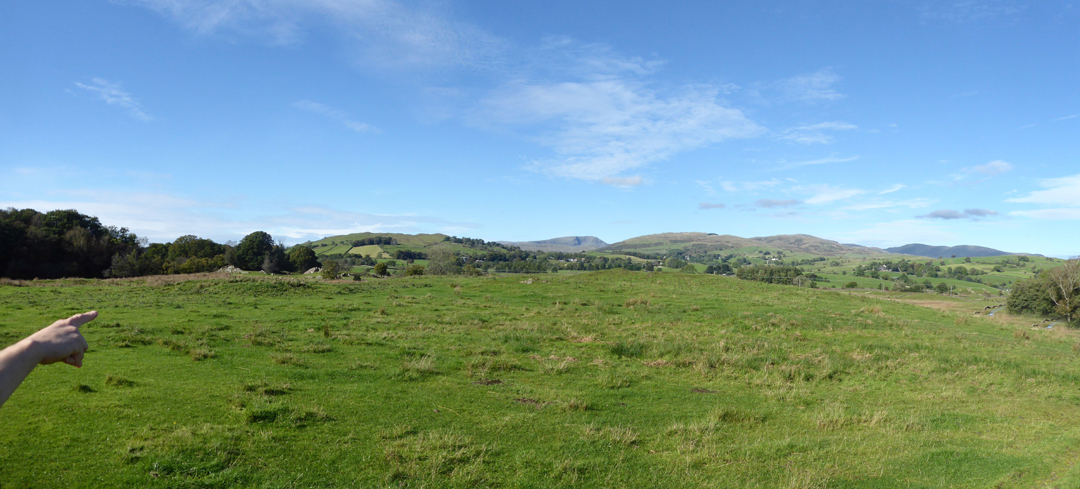
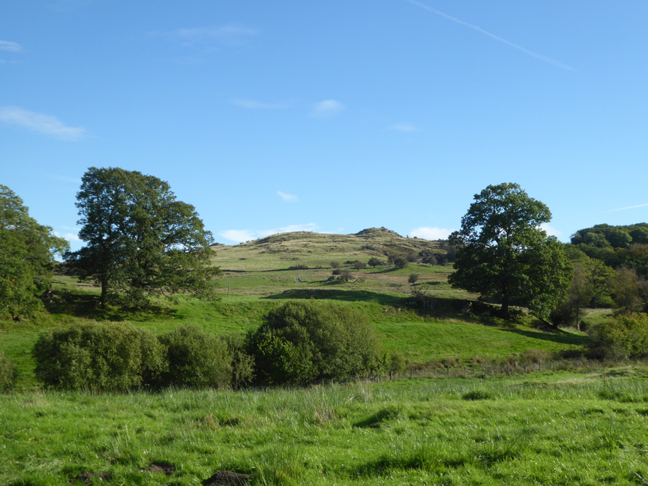
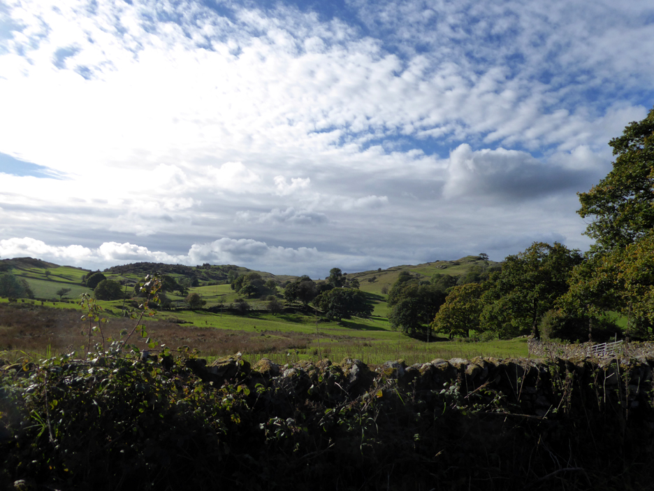
There's a great if slightly distant view of the Far Eastern fells. Peter points out . . . Banner Rigg, Red Screes, Sallows and Sour How, Brunt Knott and the Kentmere Fells.
Behind us is the highest point of the walk, a summit that we would climb towards the end of the walk. It is not named on any map I can find, but Peter calls it by its colloquial name of Bob's Knob.
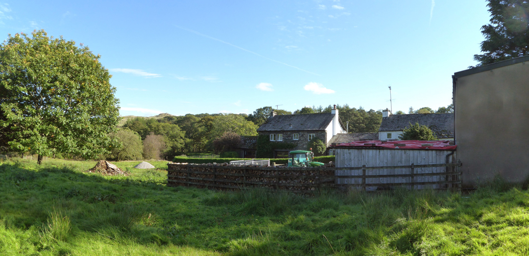
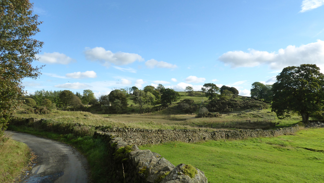
The footpath sign sent us off across grassy fields and the first building we came across was Yews Farm. There's a good stack of logs against that fence, one that I would be proud of if it were waiting for my fire.
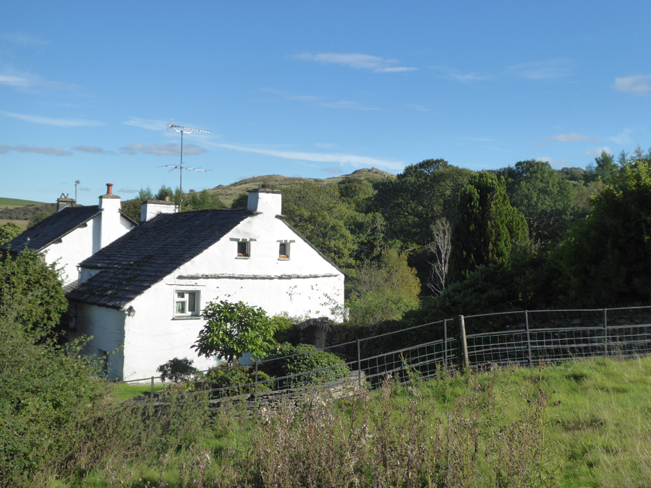
The footpath curves around the back of the farm and heads off across more lush grass fields, towards but not reaching the delightfully named Hag End Farm.
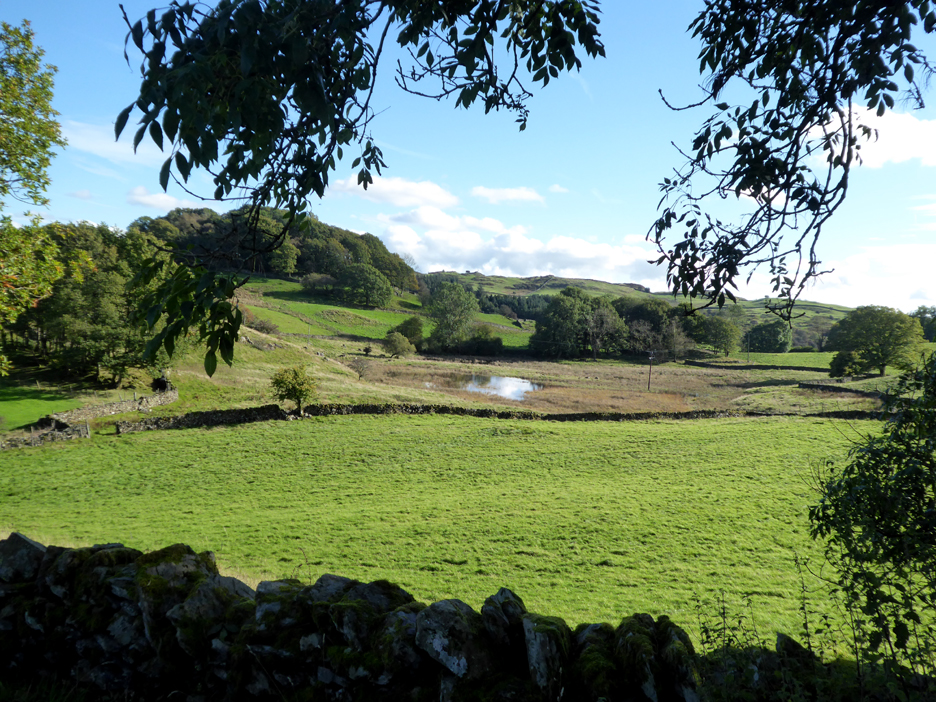
The map hints at a slight bogginess but in fact there's a definite tarn this side of Owlett Woods.
School Knott (a Wainwright Outlier) and Grandsire summits seen across the way.
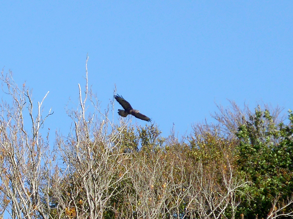
A graceful buzzard was quartering the High Wood, searching for an afternoon snack.
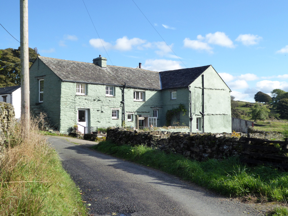
An interestingly modern paint colour on Borwick Fold Farm.
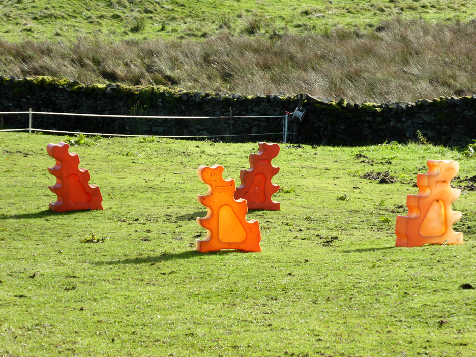
In the field behind there were plastic sculptures . . .
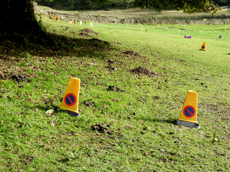
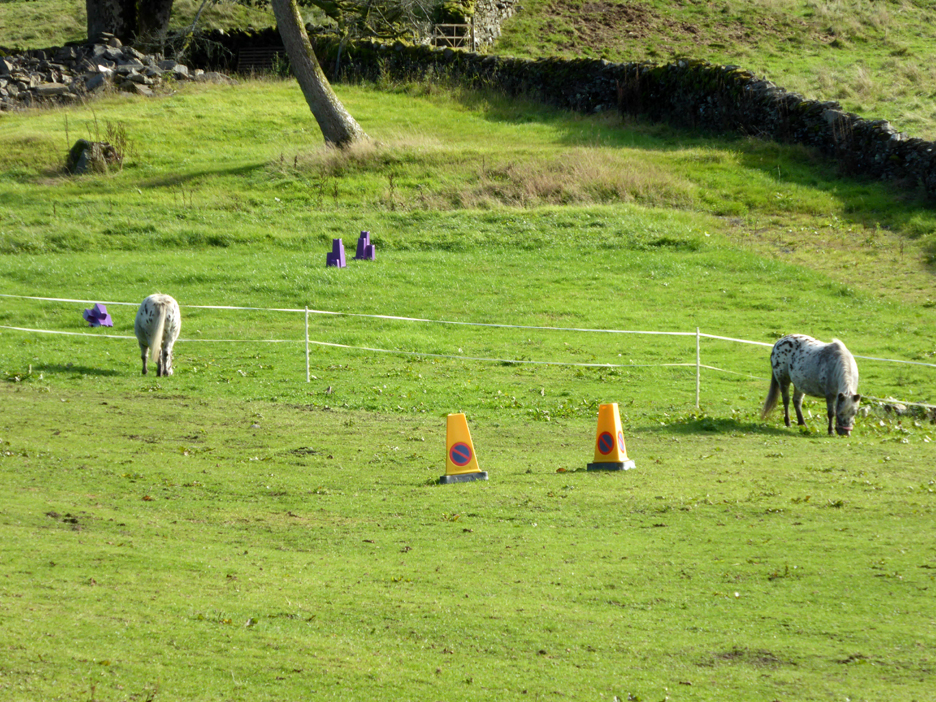
. . . and several pairs of no waiting cones ! The clue to their purpose are the brown objects on the grass between them.
They were all furniture and coarse markers for these two horse's gymkhana practice.
Further up the road is another tarn but it is sadly fenced and inaccessible. Pete implied that it might have been one of many that used to store water to feed into the River Gowan during times of draught to keep the water mills at Staverley working to full capacity.
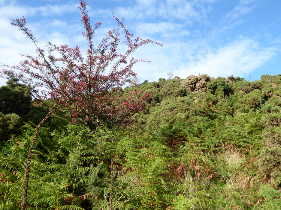
Our desired summit is up there somewhere but we've got to find a path up through the gorse bushes before we stand a chance of reaching the top.
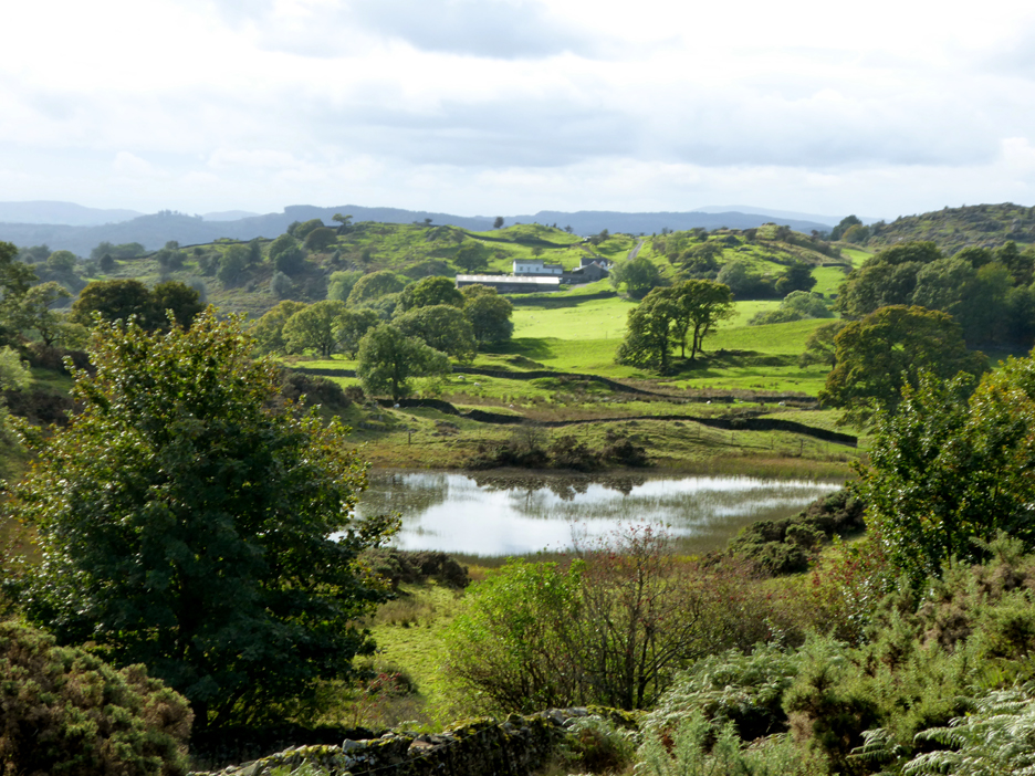
We pick a clearing and leave the road and head up onto the local high point of this undulating ground. Crag House Farm with the large barn is seen over the same unnamed tarn as we tried to see over the high fence.
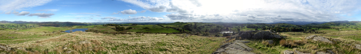
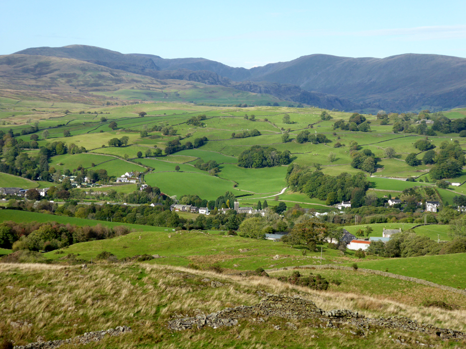
The view from the top of this delightful non-Wainwright outlier is extensive and delightful. Click here or on the photo above for a 360 degree annotated panorama.
Looking down on the Church and houses of Ings. The River Gowan curves round our position and passes through Ings on its way to Staverley. Behind it is the backdrop of the Kentmere Fells.
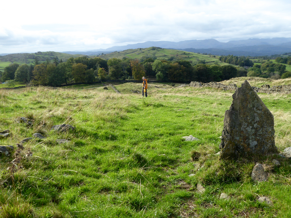
On the way down now and we pass this substantial standing stone, presumably a gatepost for a long forgotten fence.
- - - o o o - - -
- - - o o o - - - |
Technical note: Pictures taken with my Panasonic Lumix TZ60 Camera.
Resized in Photoshop, and built up on a Dreamweaver web builder.
This site best viewed with . . . a spare hour or two to walk with a friend on a different fell.
Go to Home Page . . . © RmH . . . Email me here
Previous walk - 27th October Stocks Res. Forest of Bowland
A previous time up here - 4th May 2017 - Staveley and Retson Scar
Next walk - 14th October Cellos and Stanger Holy Well