|
|
|
 |
Remember: Press F11 for a
full screen view of this page. |
Web Counter when published 1
914 750 |
|
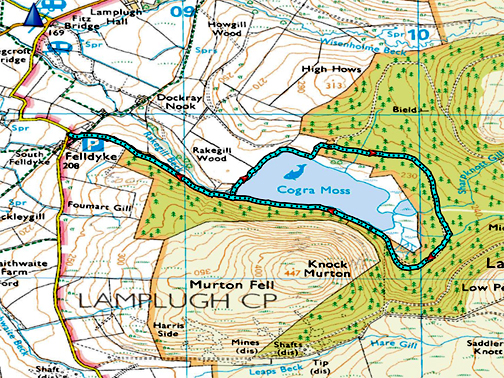
" New Access to Cogra Moss " Date & start time: 12th August 2021. 11.30 am start. Location of Start : Felldyke car park, Lamplugh, Cumbria, Uk ( NY 085 199 ) Places visited : Cogra Moss Reservoir Walk details : 2.75 mls, 250 ft of ascent, 1 hours 30 mins. Highest point : The potential for a dry walk around the lake. Walked with : Myself and the dogs, Dylan and Dougal. Weather : Warm and dry with slightly cloudy summer skies. |
© Crown copyright. All rights reserved. Licence number PU 100034184. |
|
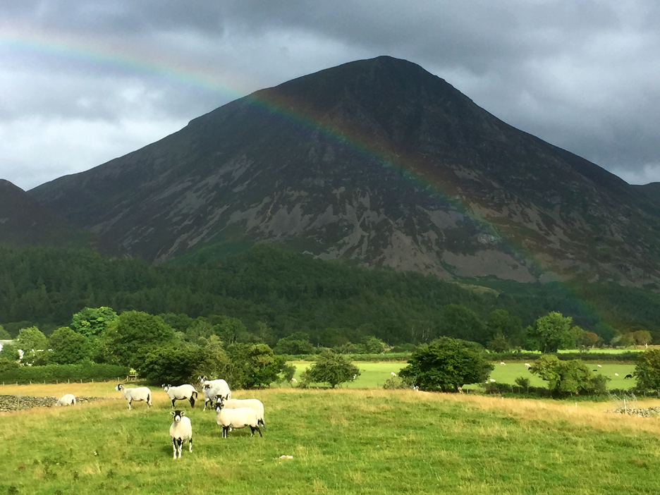
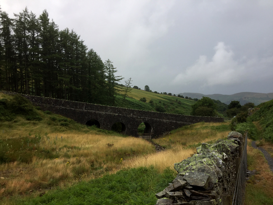
It has been a month of variable weather so I start with a picture of a valley rainbow and rather damp looking Scawgill Bridge. We've had nice weather too and a walk over at Cogra Moss brings surprise path improvements to light.
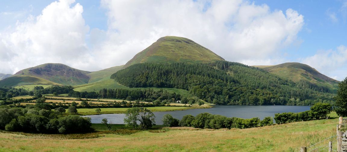
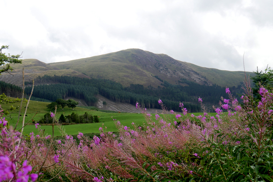
Multi coloured Grasmoor on a walk a few days ago.
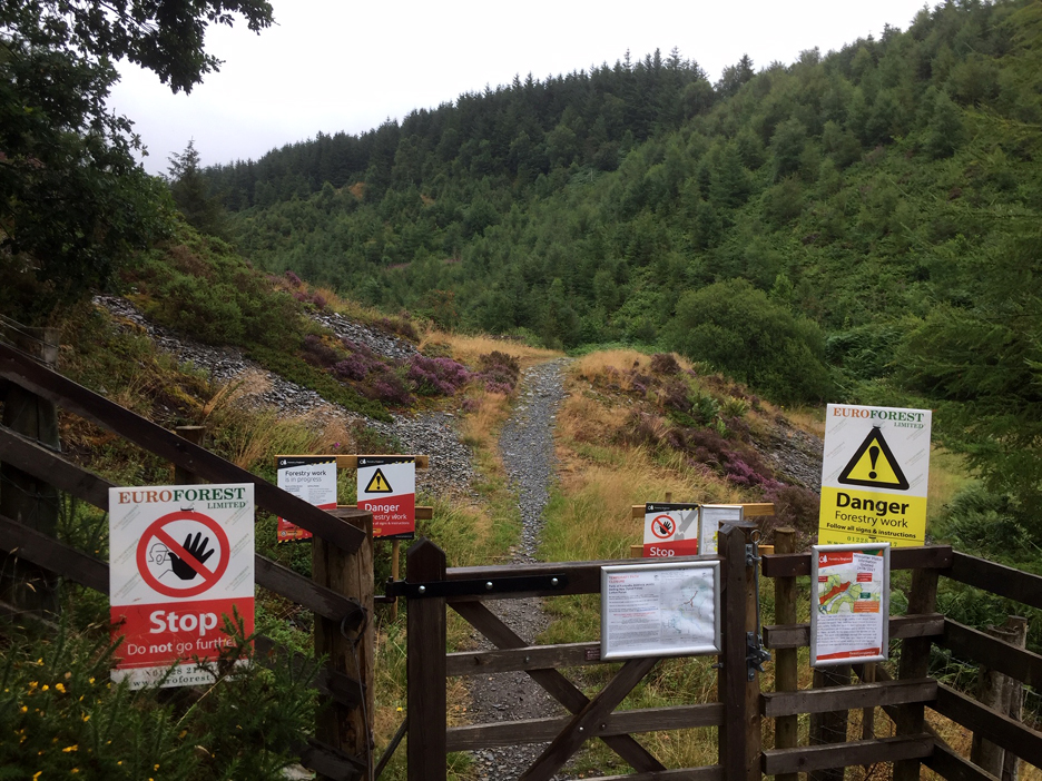
I also visited Whinlatter and the Aiken Beck Valley to see how the heavy rain had affected Spout Force Waterfall.
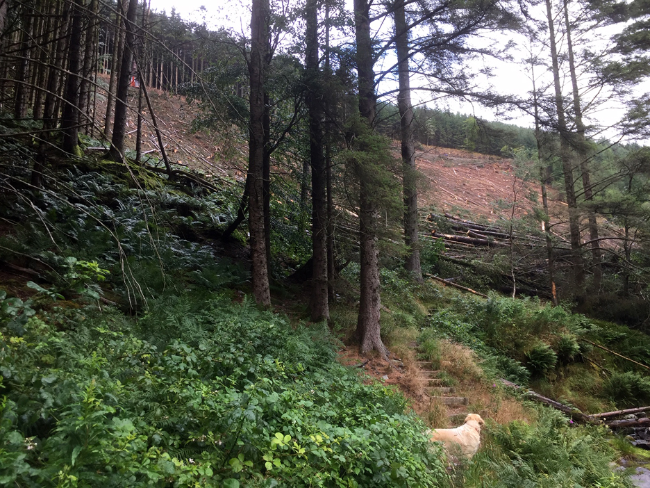
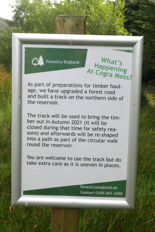
The path seems to have developed a rash of printed graffiti. However I'll live dangerously and pop my head round the corner to see if the signs are relevant to my walk today.
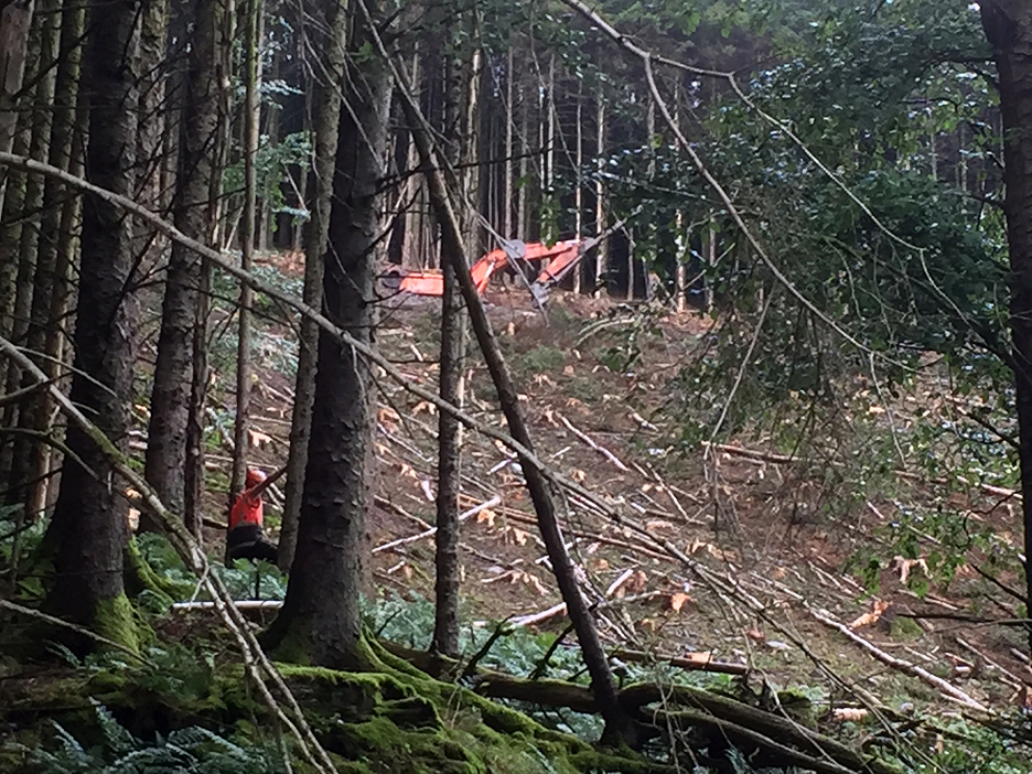
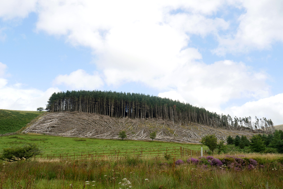
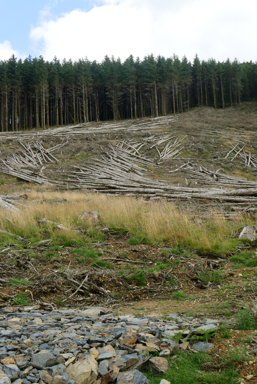
The sound of heavy hauling equipment and crashing timber confirmed that the signs were true. I think this is as far as we go today !
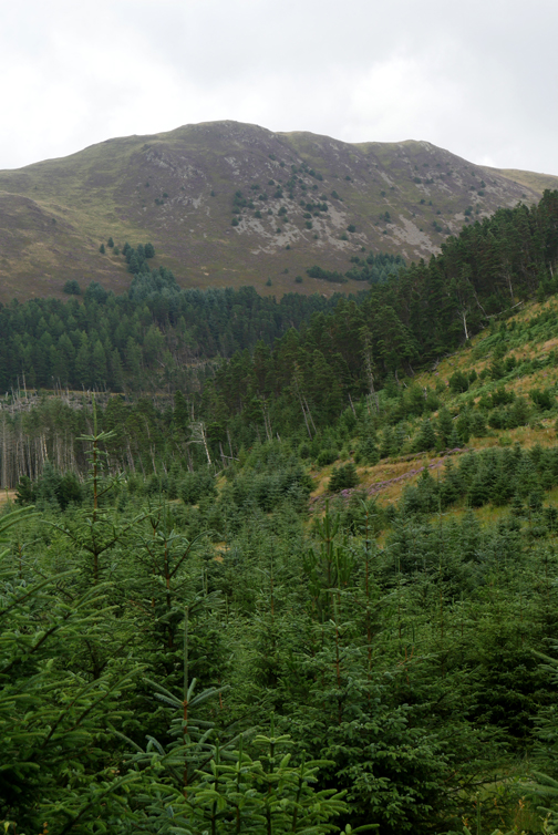
Clear felling of the mature woodland will really alter this walk in the future.
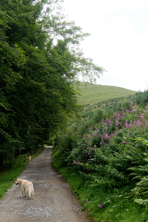
However since then it hasn't rained all the time, and on the Thursday the sun shone and the dogs and I ventured a little further from home.
Driving past Loweswater, the pheasant woodland shape on Carling Knott stands out in the sunshine.
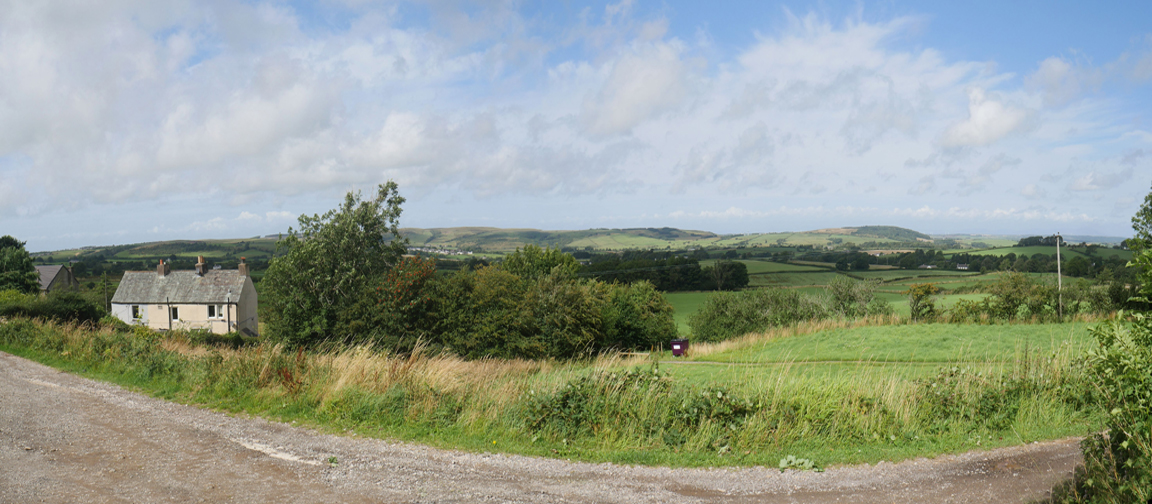
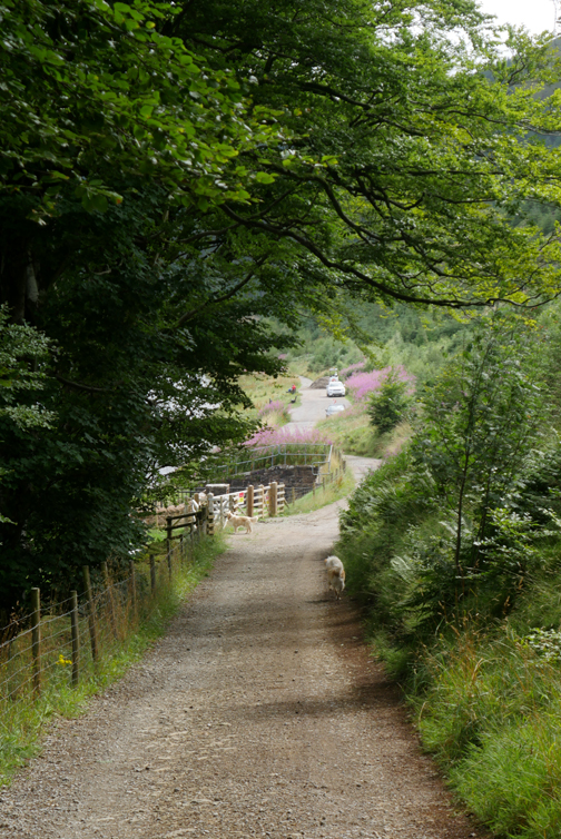
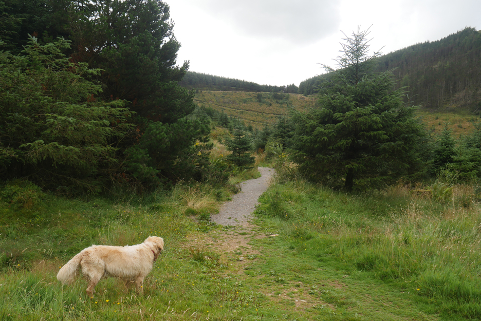
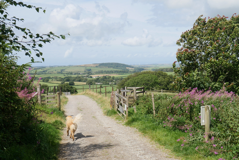
I drove the five miles round to the hamlet of Felldyke and set off up the track to Cogra Moss Reservoir.
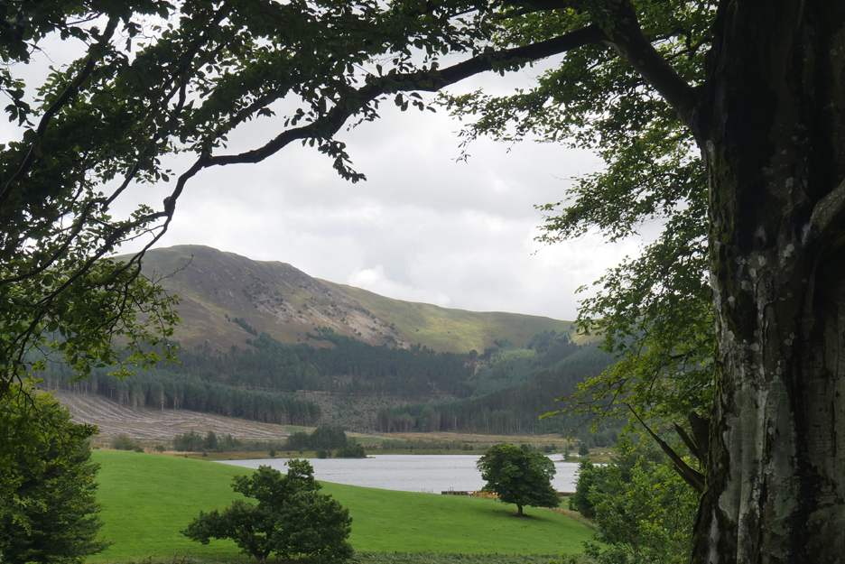
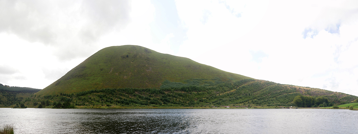
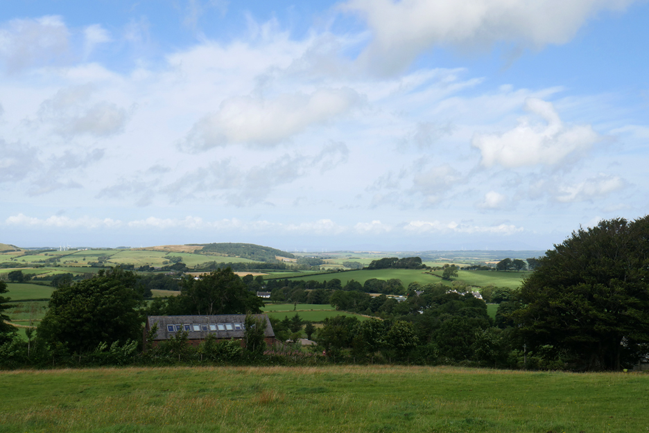
Overlooking the lake is Blake Fell . . . but we'll leave that for another day.
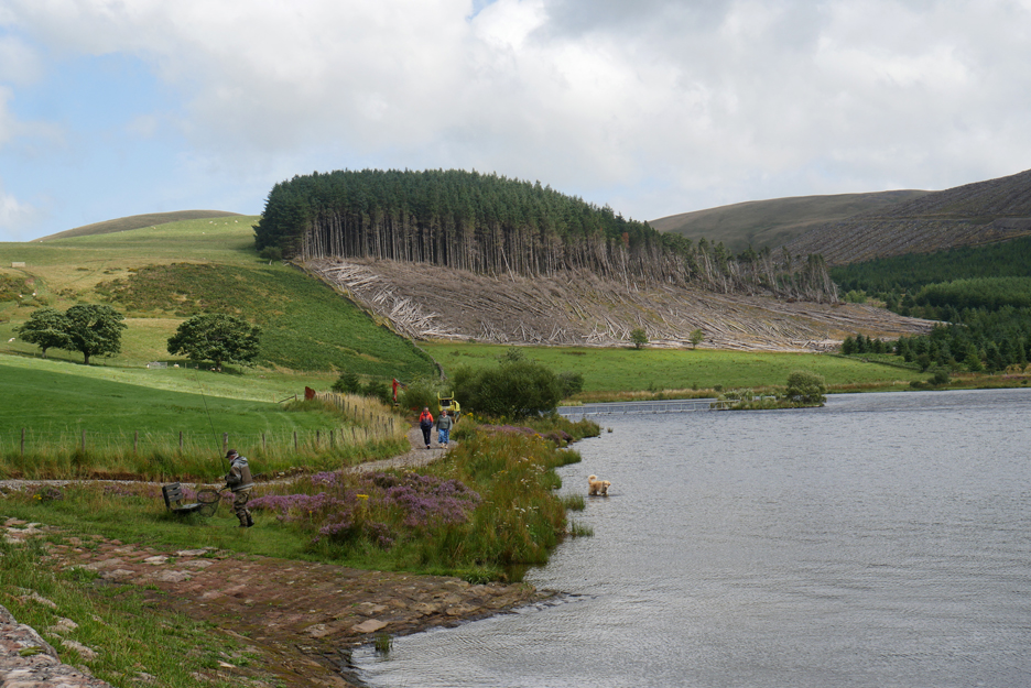
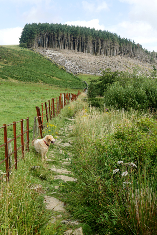
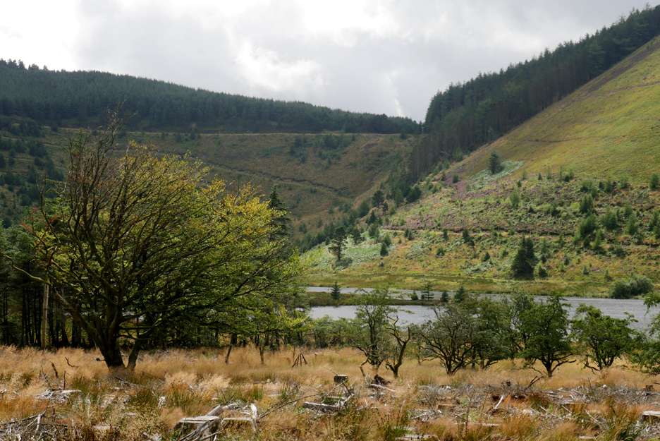
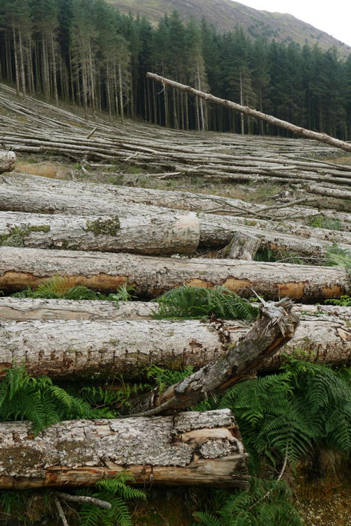
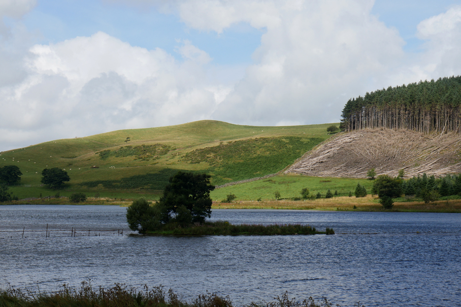
There's been more tree clearance in the last year.
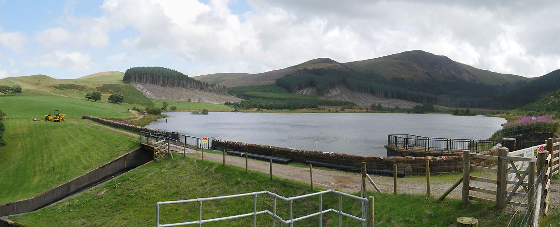
Looking across the reservoir wall, the full extent of tree felling is clearer.
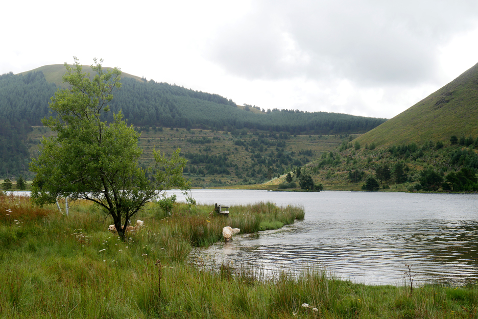
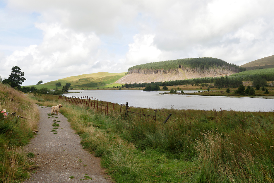
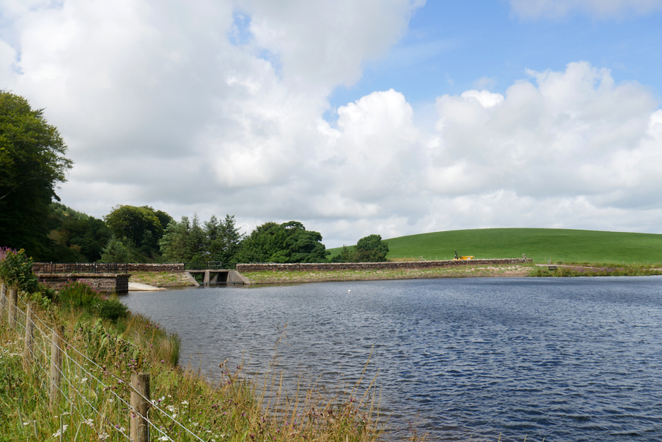
The reservoir is no longer used for public water supply but is maintained for leisure walking and fishing.
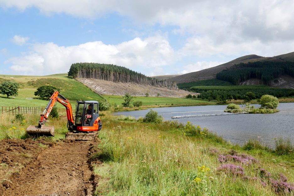
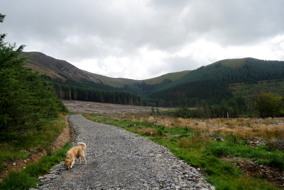
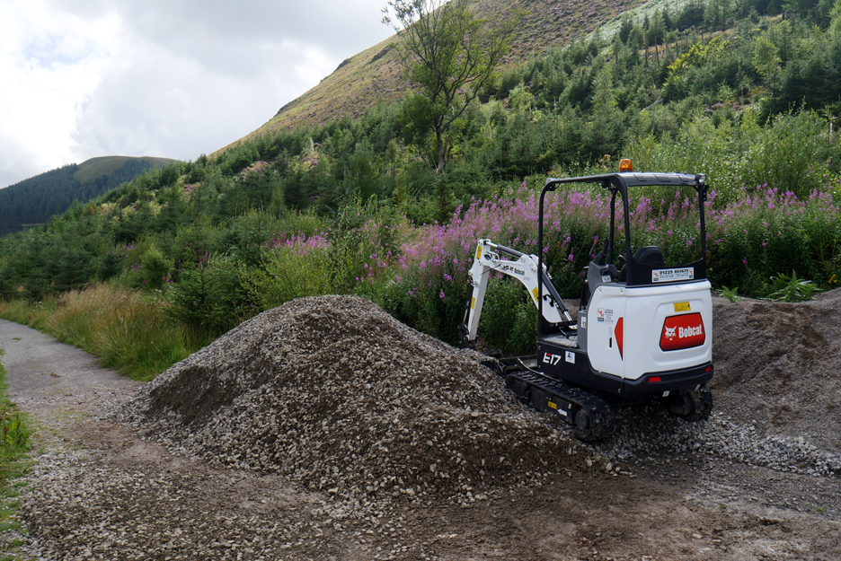
To that end the National Park is creating a wider and drier path all the way round the lake. They are upgrading the path here, maybe even to wheelchair accessible standard.
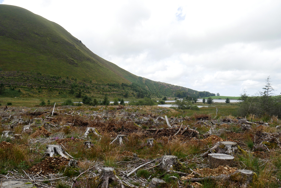
Trees on High Hows have been partially felled but not yet cleared.
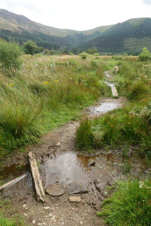
We reach the fisherman's chairs, but only at the expense of wet shoes ! Fortunately the waterproofing of my favourite trainers is holding out !
Looking across the lake to Knock Murton on the western side.
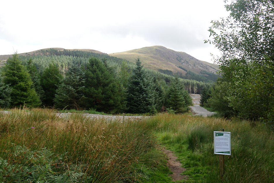
Ahead is a new, wide forestry track.
" Take care as it is uneven in places " . . . doesn't that apply to normal fell walking ?
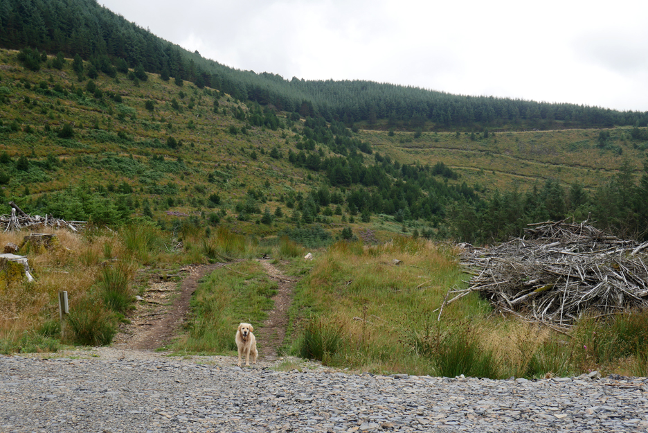
The track gives easy access to the back of the lake. previous felling and re-growth over here is starting to hide the scars of the commercial forestry.
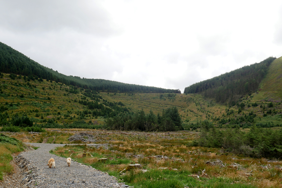
The new road comes to an end at the back of the lake.
From here the old path continues on around the lake.
It will really open up the area and make walking easier. Sadly however, due to the timber clearance, it will take a number of years before the area could be classed as "attractive" once again.
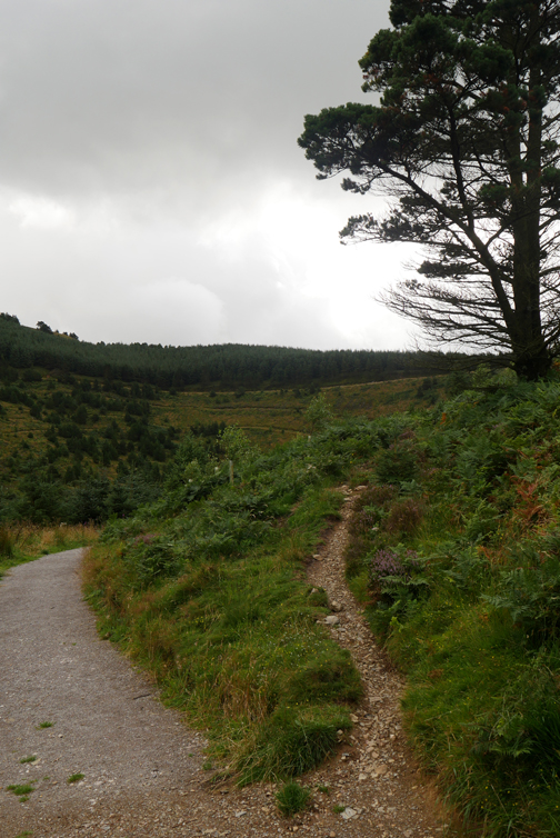
The unmade path joins up with the gravel path that was constructed a few years ago. The plan is to make it this quality all the way around.
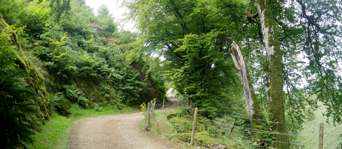
The path back to the dam has naturalised well and still provides easy access to all.
The island has a walkway and handrail out to it . . . provided you have waders !
Back round to the dam . . . circular walk completed easily within the hour.
Gravel chippings, presumably to surface the new path.
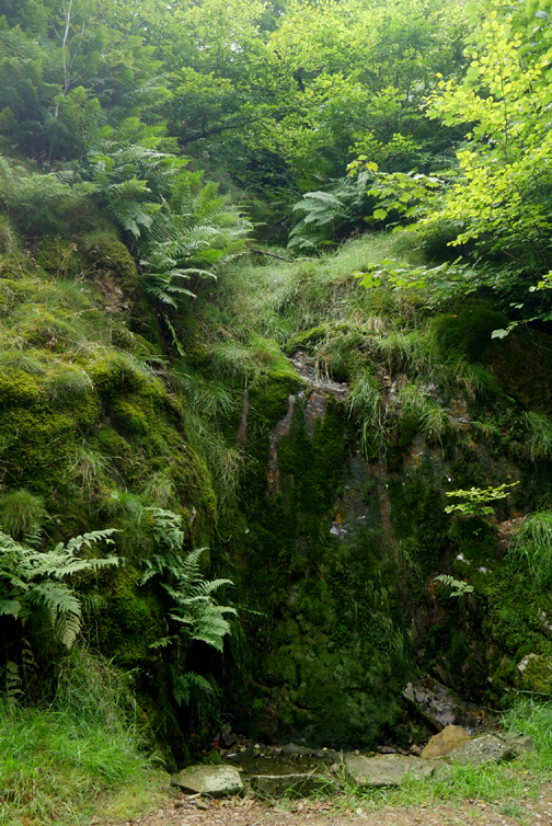
Time to be heading back . . . past the beech trees and small waterfall.
With the bottom gate securely locked, this top one is now left open.
Back to Felldyke. The old Water Board pumping station has now been converted to Bunkhouse accommodation for visitors. A "new" walk today . . . or at least an old one being made into a much more accessible option. - - - o o o - - - |
Technical note: Pictures taken with either my iPhone (Whinlatter) or my Panasonic Lumix Gx8 Camera.
Resized in Photoshop, and built up on a Dreamweaver web builder.
This site best viewed with . . . time for the cleared forests of Whinlatter and Cogra to heal.
Go to Home Page . . . © RmH . . . Email me here
Previous walk - 10th August Going Places - Loweswater Style
A previous time up here - 6th February 2010 Blake Fell from Cogra Moss
Next walk - 13th August Binsey with Loes - before tea