|
|
|
 |
Remember: Press F11 for a
full screen view of this page. |
Web Counter when published 1,914475 |
|
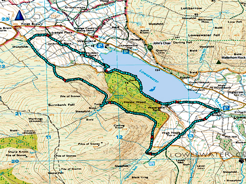
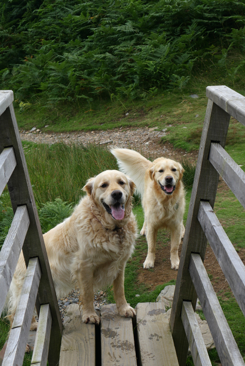
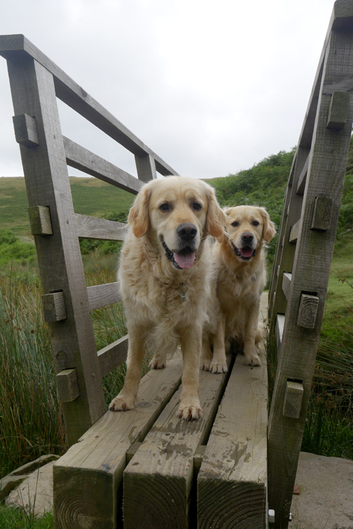
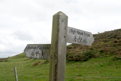
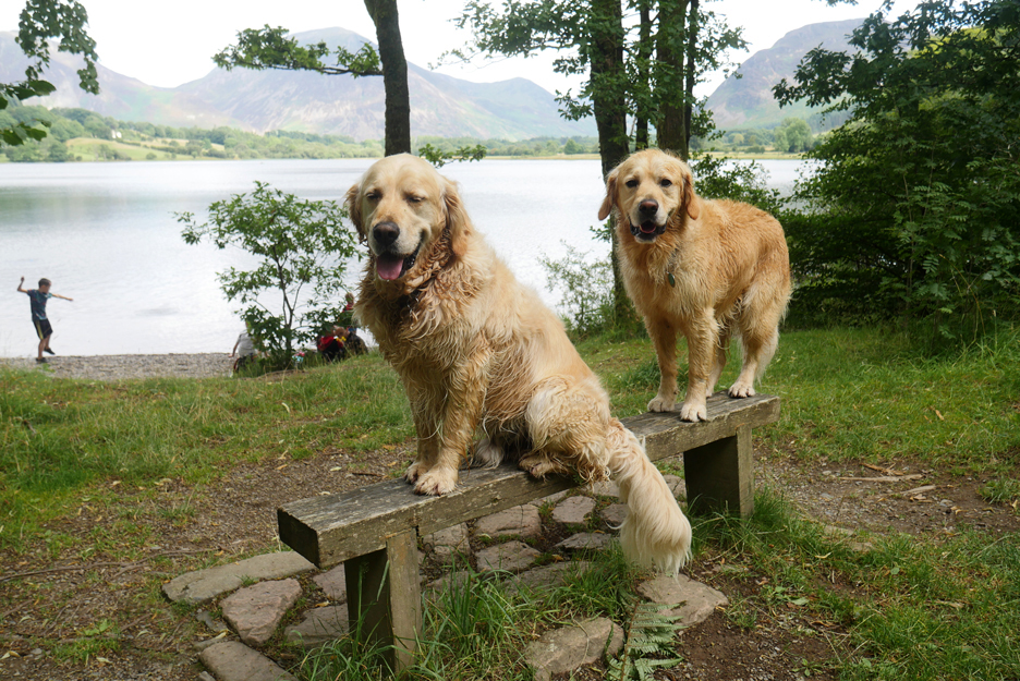
" Going Places - Loweswater Style " Date & start time: 1st August 2021. 1.15 pm start. Location of Start : Maggie's Bridge car park, Loweswater, Cumbria, Uk. ( NY 134 210 ) Places visited : High Nook, The Chair, Iredale Place, Jenkinson Place, Hudson Place & back. Walk details : 5.75 mls, 900 ft of ascent, 2 hours 30 mins. Highest point : Overlooking Loweswater, on the Coffin Road below Carling Knott. Walked with : Myself and the dogs, Dylan and Dougal. Weather : Overcast but dry. |
© Crown copyright. All rights reserved. Licence number PU 100034184. |
|
With the prospect of a dry walk I've decided to extend my local dog exercise into a 'proper' local walk. The far end of the Loweswater Valley is full of old farms with the name "Place" in their title, even one with the individual name of "The Place". My walk today incorporates a visit to all of them . . . hence Going Places.
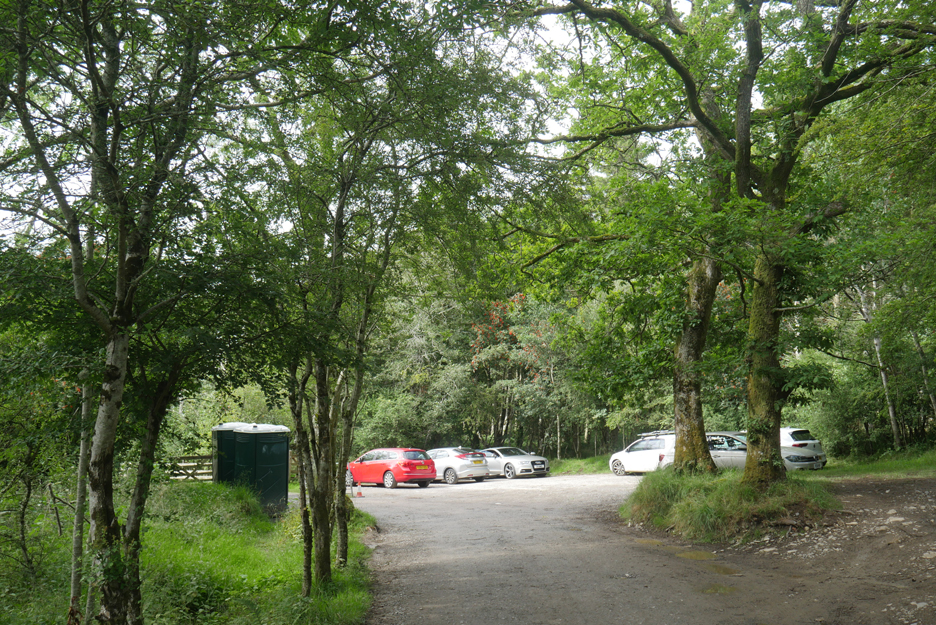
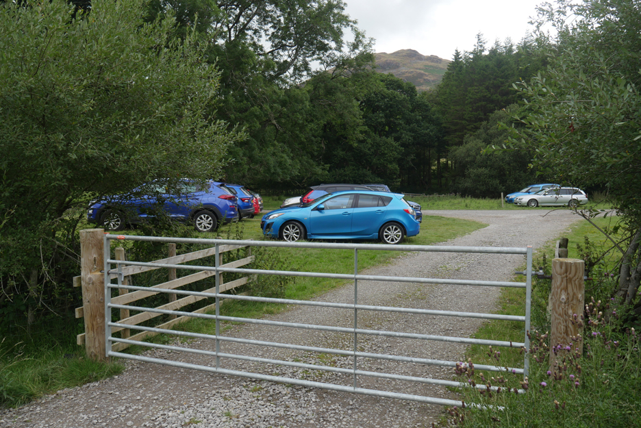
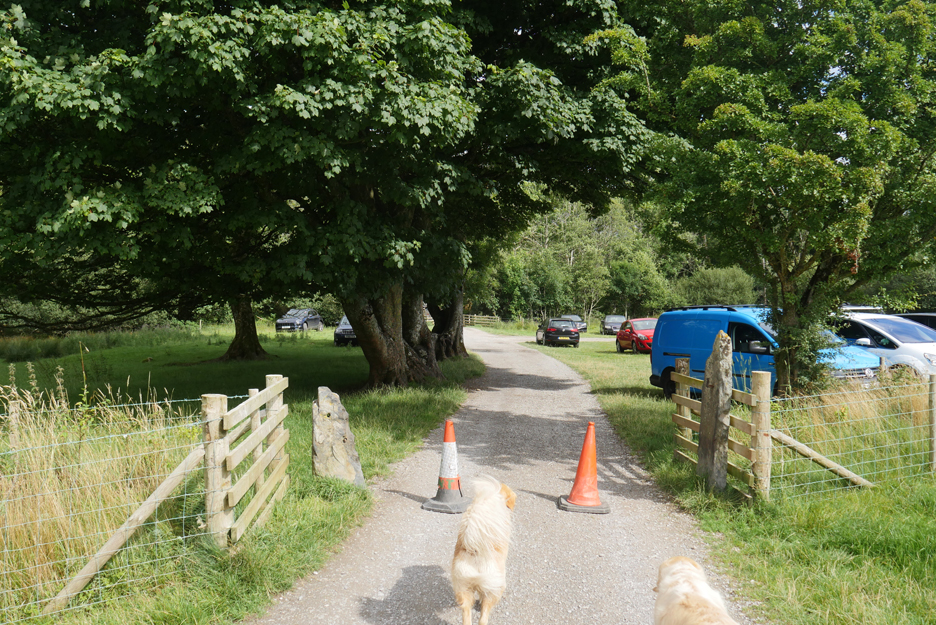
The car park at Maggie's Bridge is remarkably empty today.
That's because the National Trust have extended car parking into the adjacent field to cope with the large number of visitors who have chosen the Lake District for a post-covid "stay-cation". Better to have parked cars here on a temporary basic than spoiling the verges and clogging up the roads.
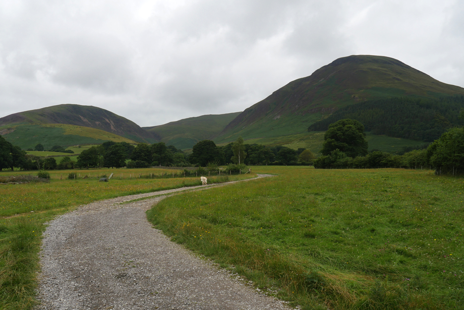
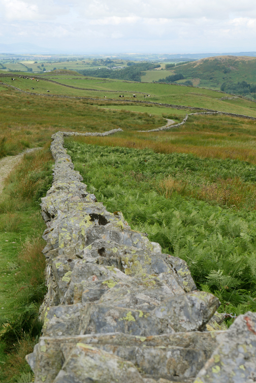
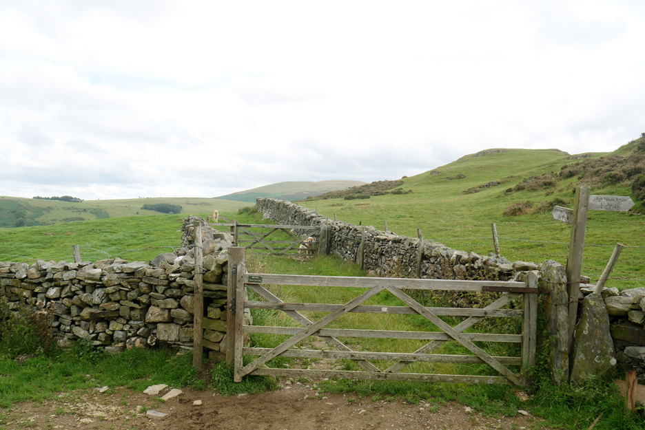
I head off in the direction of High Nook Farm and walk the "Coffin Route" above Holme Woods.
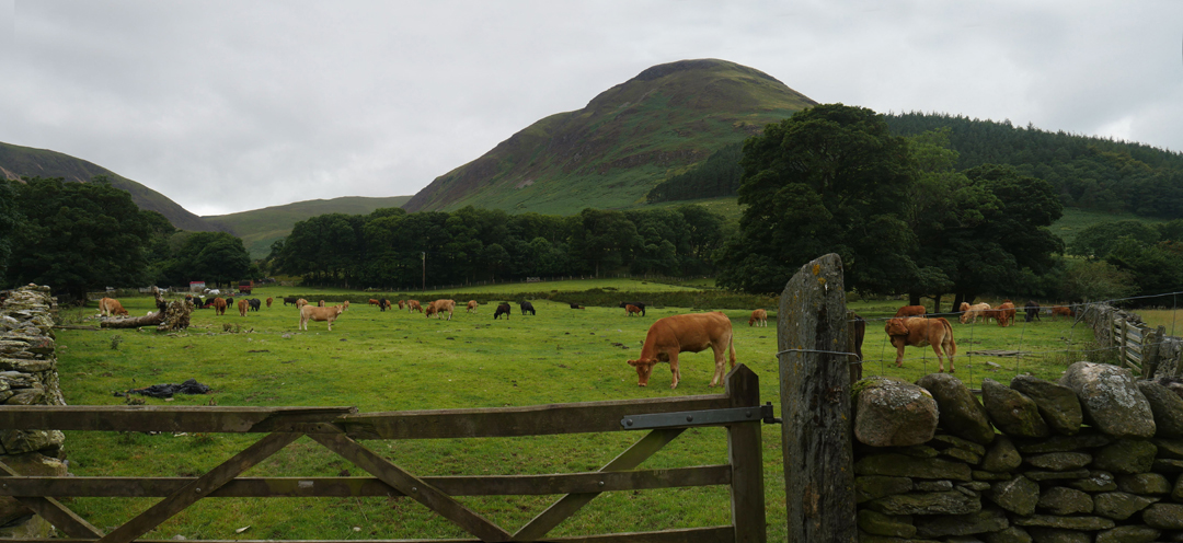
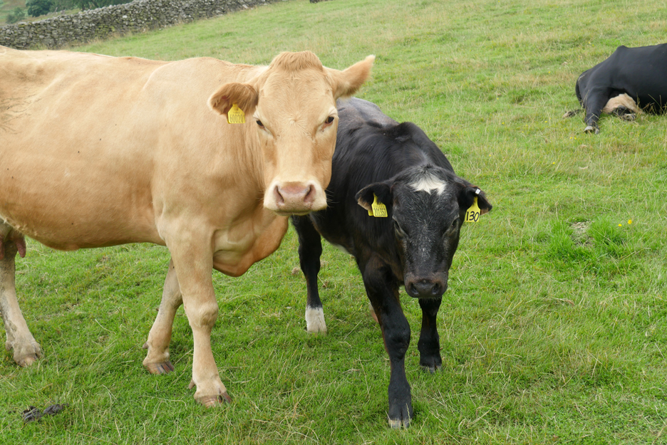
There seem a lot more cows about this year compared to previous ones. It must be influenced by the changing farm subsidies. This wider panoramic photo is stitched together from two normal photos. I thought I had a problem with the computer process but when I look back it turns out that the top rail of the gate really was broken !
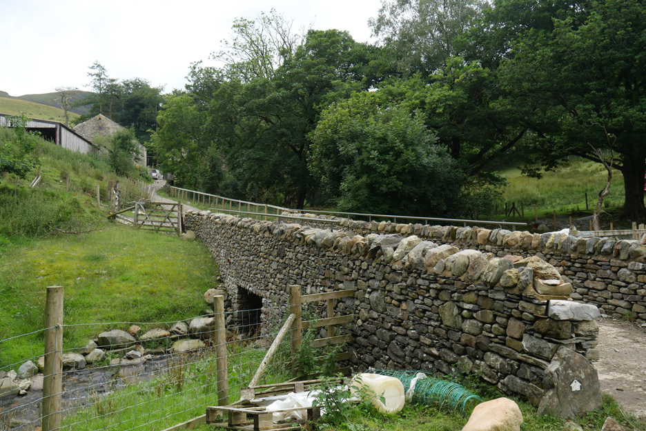
The flash flood of 2015 must have played a part in the eventual undermining of this High Nook bridge in 2017. It has subsequently been rebuilt and access was back to normal after a few difficult months.
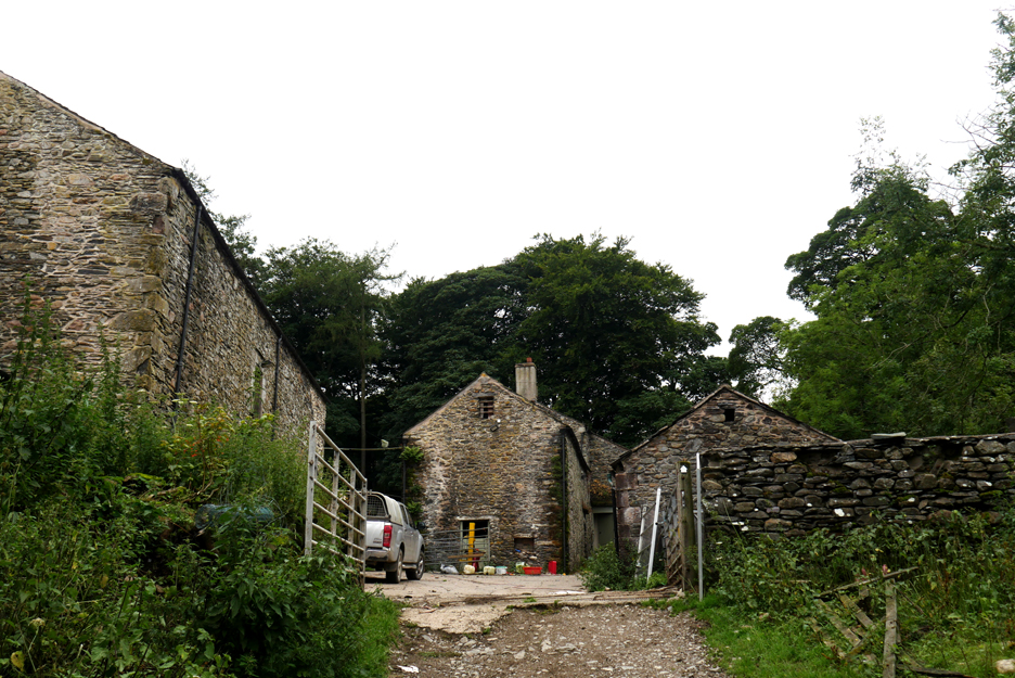
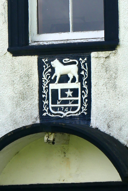
Unconfirmed rumour has it that a certain Mr Wainwright stayed here for Bed and Breakfast whilst writing his guide books.
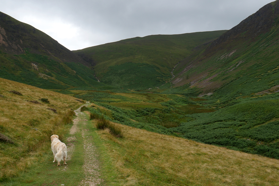
The head of the High Nook Valley. The track we are on, the Coffin Route, curves around to the right and climbs back out of the valley heading for Holme Woods.
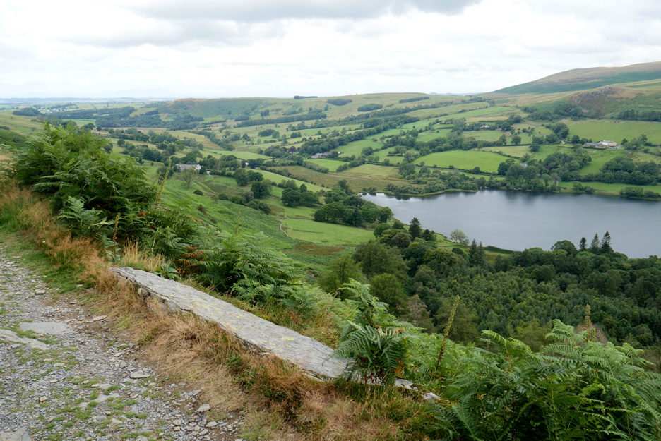
Looking back as we climb up out of the valley. High Nook Tarn can be seen nestled under Black Crags rather than down in the bottom of the valley.
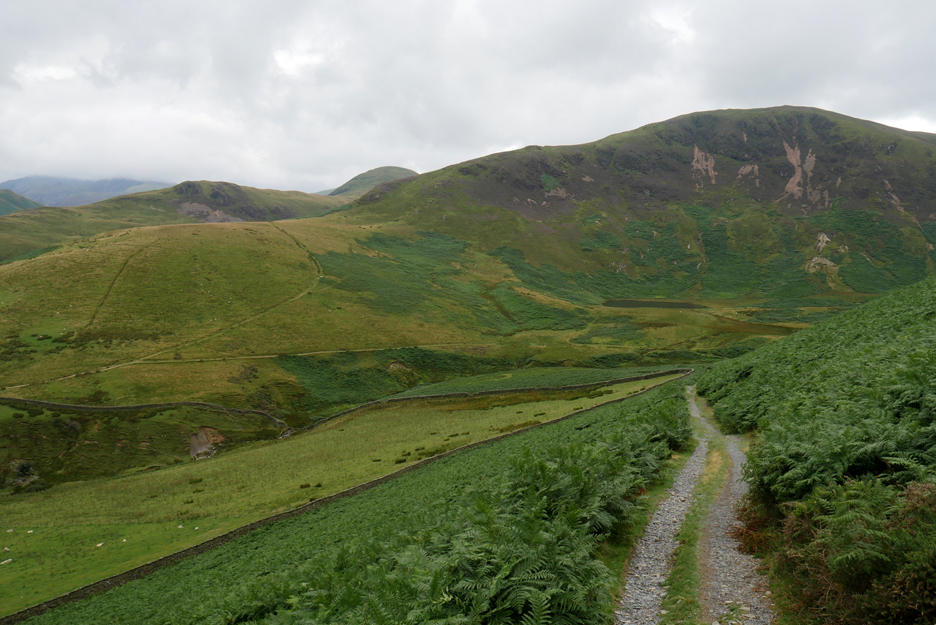
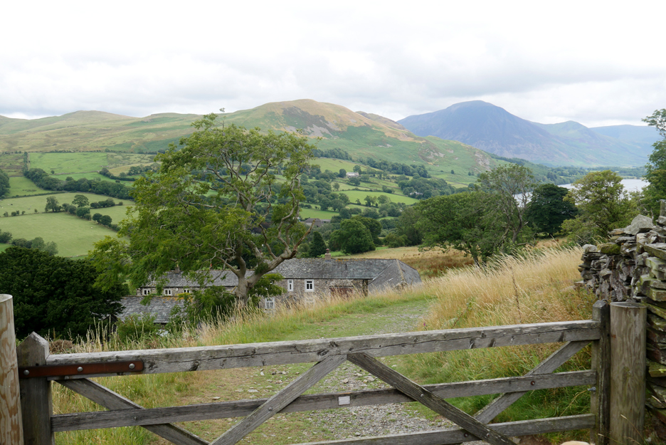
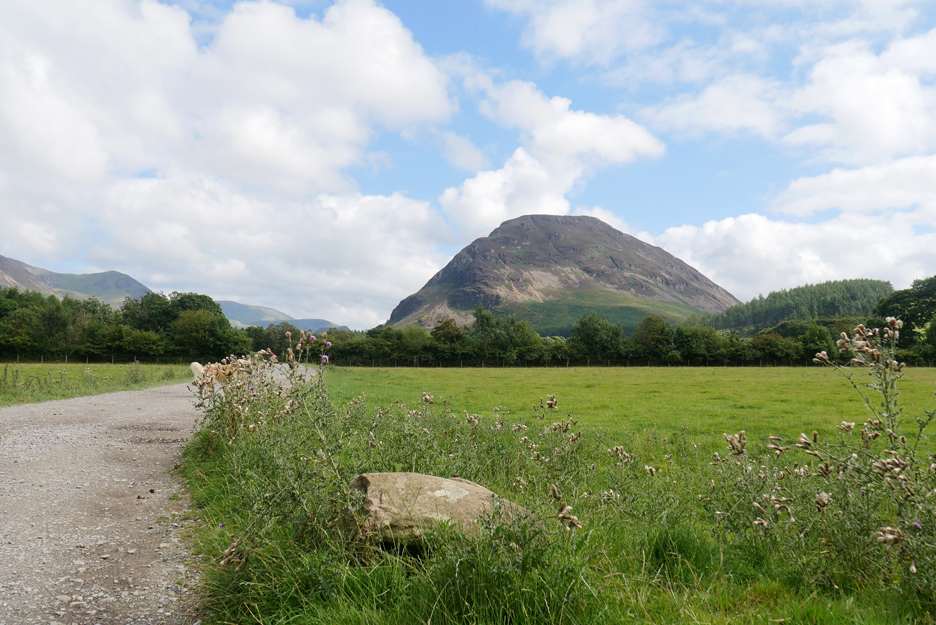
Looking forward from the same spot. The panorama ahead includes Low Fell, Whiteside, Grasmoor and Mellbreak.
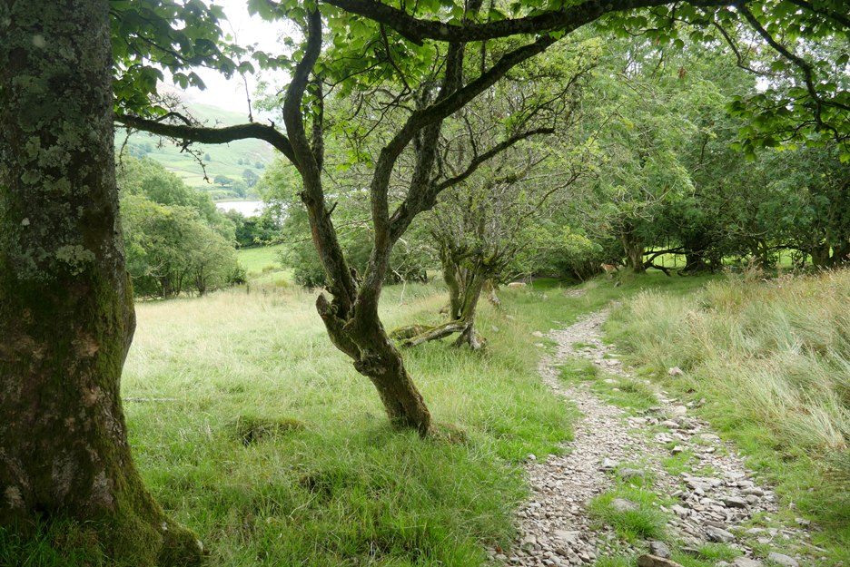
This trail has no vehicular traffic so is sometimes reduced to the width of a footpath as it climbs up behind the woodland.
Storm damage has killed some of the trees and damaged others.
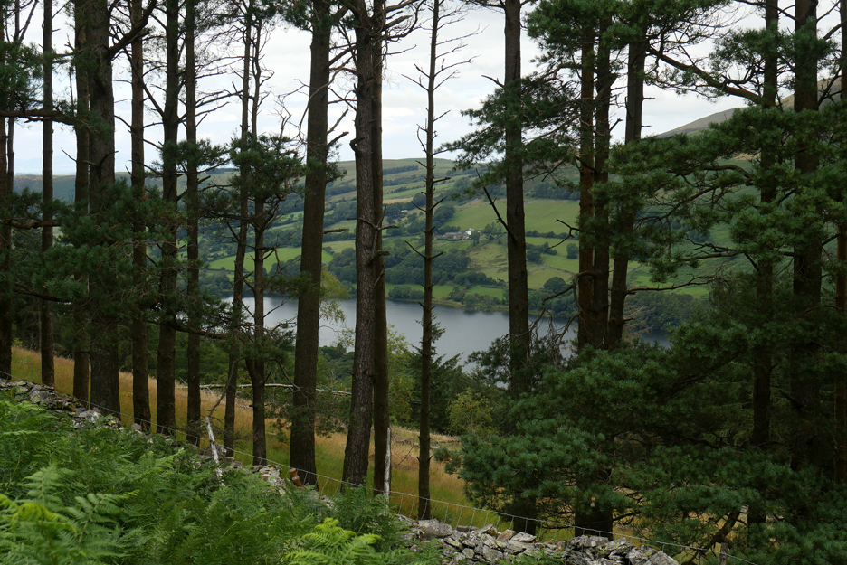
The gap behind these pines has been left by clearance due to a larch fungal disease. There are plans to re-plant but in the mean time we can see through to the darker waters Loweswater, reflecting the cloudier skies of today.
The highest part of the climb coincides with our first long distance views of the Solway Plain.
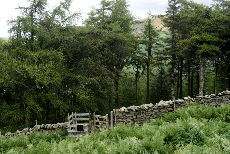
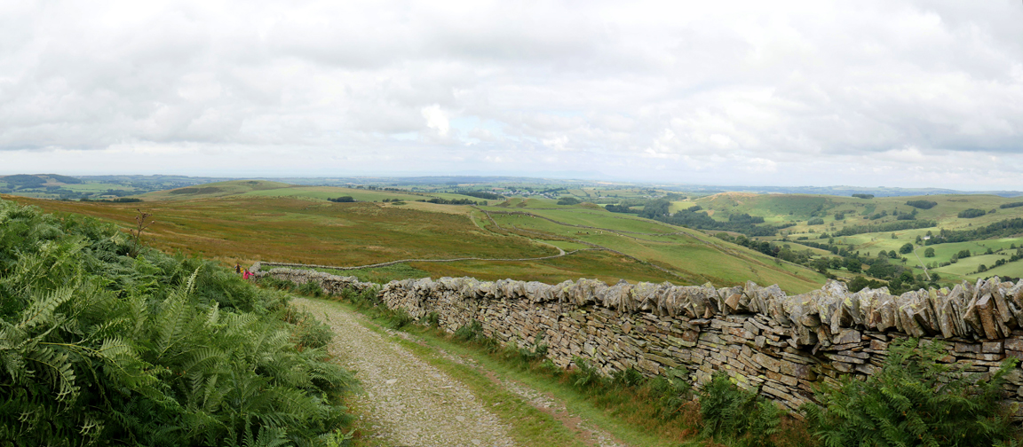
The Coffin Route continues on around the slope of Burnbank Fell ahead.
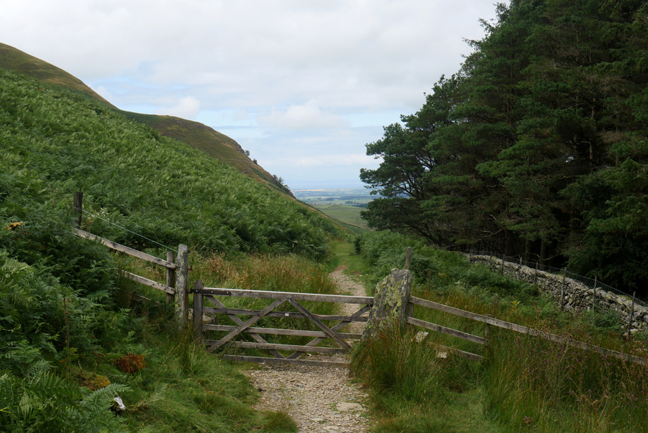
Sometime I take the forest path down through this gate if I want a shorter walk.
Today however, the dogs and I will continue on . . . we've "Places" to visit.
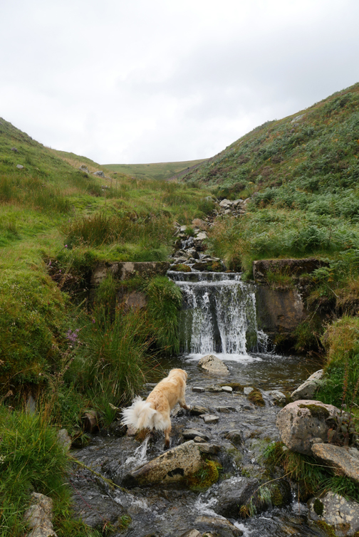
The wooden bridge over Holme Beck. I was going to continue on but I saw a small waterfall higher up the beck and decided to walk up for a photo.
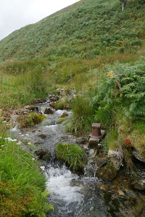
The mere fact that there's no houses anywhere near is strange, the cast iron 'pot' too didn't belong where it was found so deepens the mystery. The only thought is that it was possibly the start of a water supply to the old bothy way down in the woods.
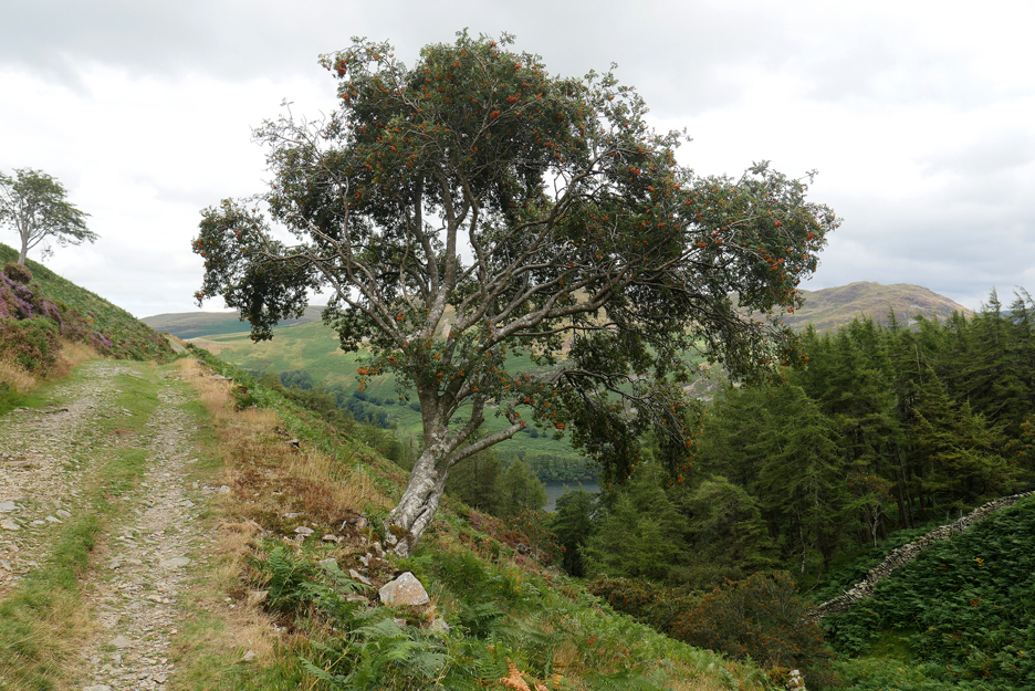
Back to the main track and on past the old Rowan, growing at unnatural angle alongside the path.
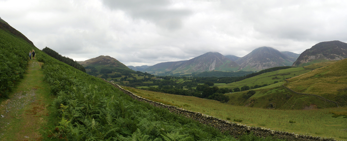
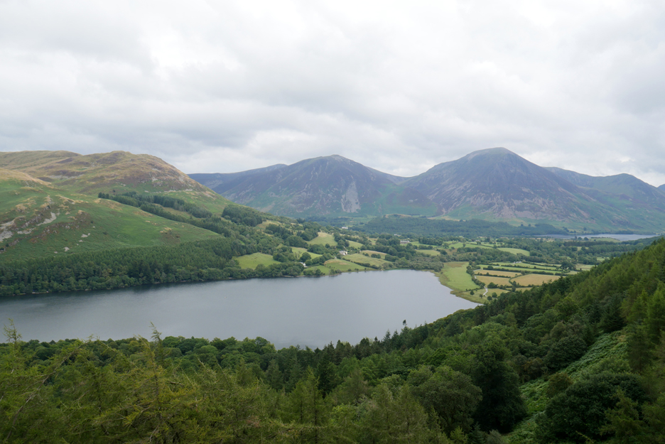
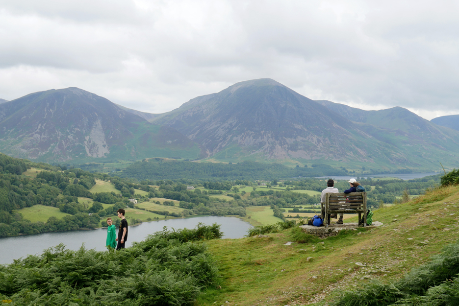
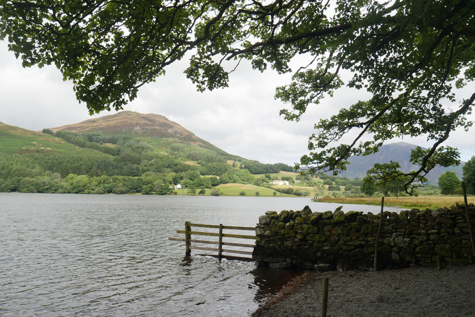
From the outer part of the bend we get a lovely view down over Loweswater and across to the north western fells.
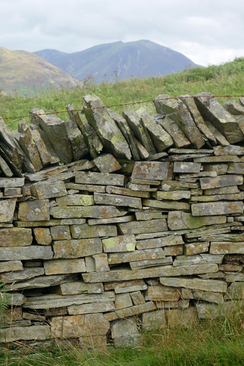
An eight foot slate slab sits abandoned by the side of the track, but it may have been placed there on purpose ? Stones like this were often found alongside coffin routes, so as to enable coffin bearers to rest their load without it touching the wet ground.
I was going to get a picture of Dougal and Dylan on or next to the chair, but it is already in use today . . . so we continue on.
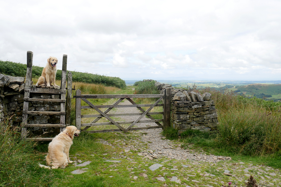
The gate below Burnbank has a ladder stile alongside which Dougal was happy to climb.
Onward and downward . . . the wide track which also served a quarry on the fell above The Chair, leads on towards Fangs Brow.
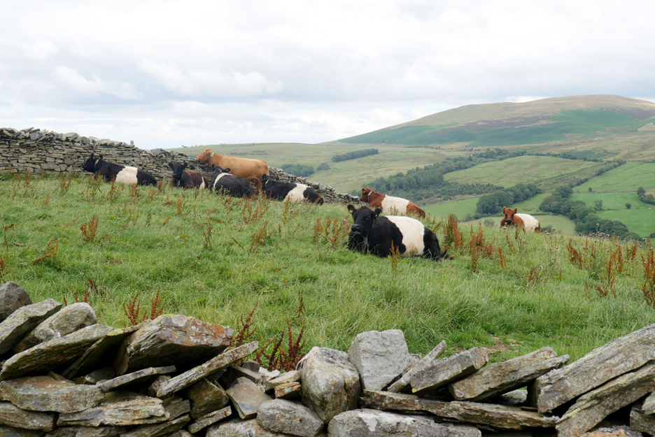
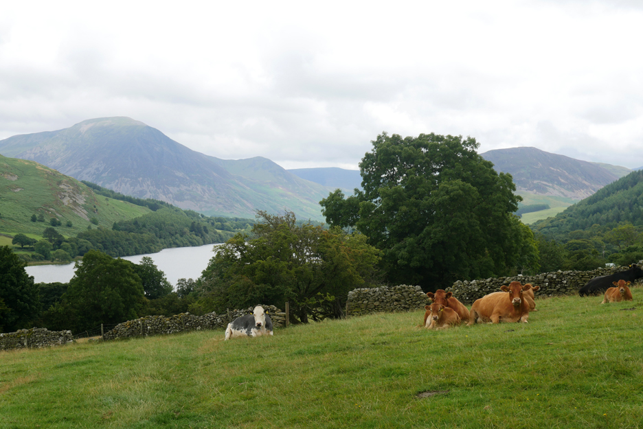
Belted Galloway Cattle up here, both the black and brown varieties. They are a hardy fell animal . . . the Herdwick of the cattle world.
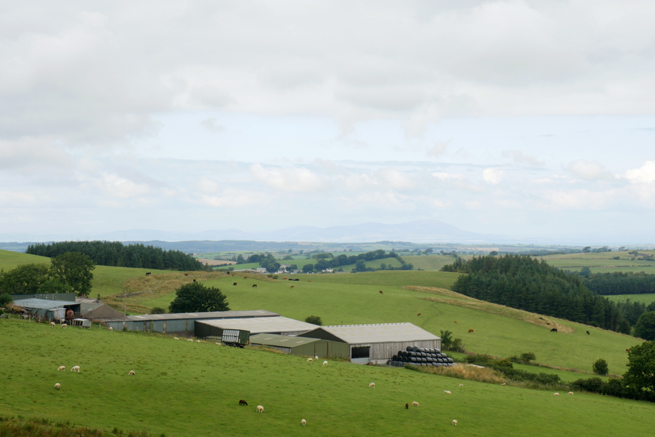
Ahead is Fangs Brow Farm, with the Scottish mountain of Criffel in the distance.
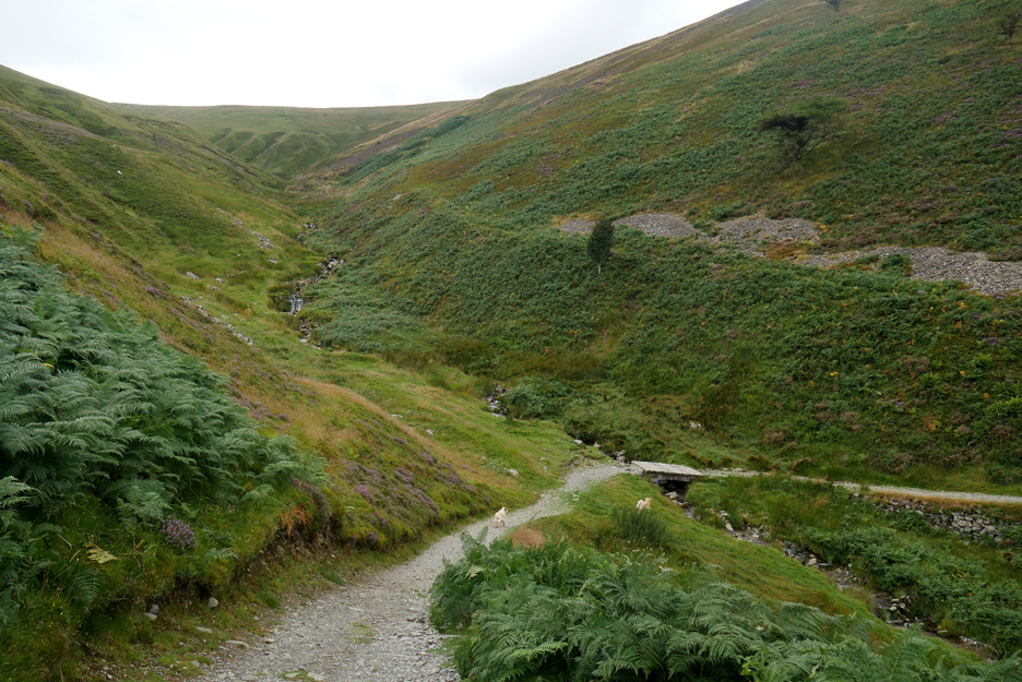
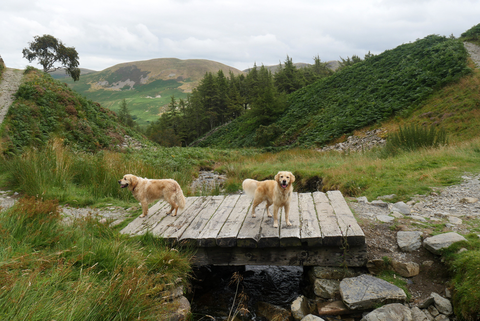
I've only used this path once before in the 20 years I've lived here . . . and then it was in the other direction, up from the valley below.
In recent weeks, since we had a problem with the valley water supply, I had wondered where our local reservoir was . . . now I've found it. Built for quieter times, this small local covered tank is fed by the Ennerdale Water Supply and maintains a local head of water for the Loweswater area. When the supply to it failed recently the water board tankers spent 24 hours parked outside my cottage, pumping water to maintain the local supply.
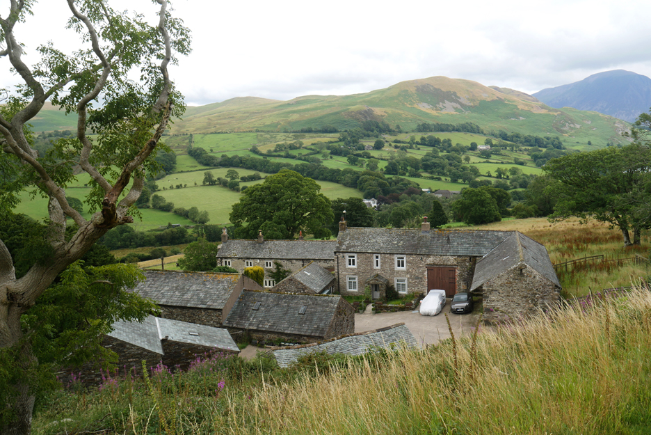
I called this web page "Going Places" . . . and this is the first . . . Iredale Place.
The farm features in local history and housed many generations of the Iredale Family during its early life.
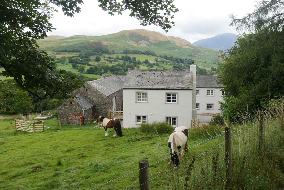
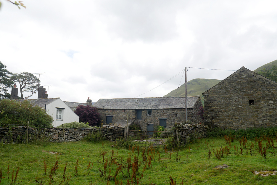
Along the lane is the next . . . Jenkinson Place Presumably this old farm was built, or at least lived in, by generations of Jenkinsons.
It has been refurbished in recent years but not as an active working farm.
On through the fields and more cows.
With the dogs off lead and taking a wide birth, I go across to distract the cows and to say hello ! Most of the cows hardly stirred but the young calf did come forward rather excitedly to see exactly who was passing.
Through the next gate and the dogs were well ahead, waiting for me to catch up.
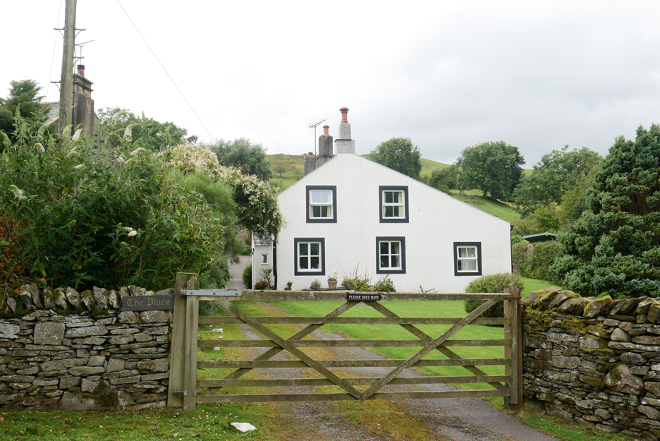
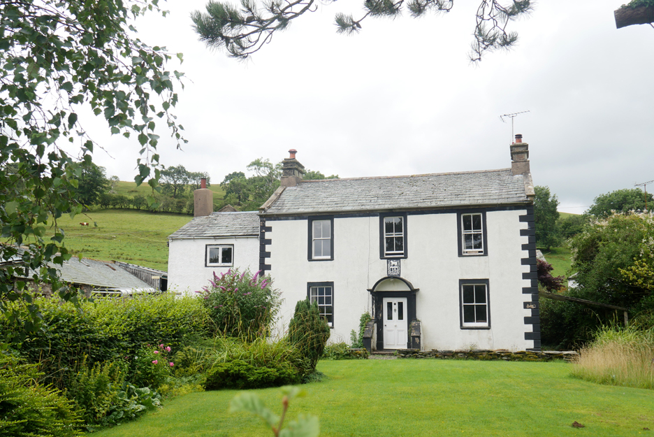
The path leads on down to 'Place' number three . . . The Place.
This is the confusing one as it has no family name . . . it's just known as "The Place, Loweswater". Now another second home up at this top end of the valley, but this and I believe the others are available for holiday let, which means they are bringing income into the valley in the form of shopping, entry to visitor attractions and buying pub meals.
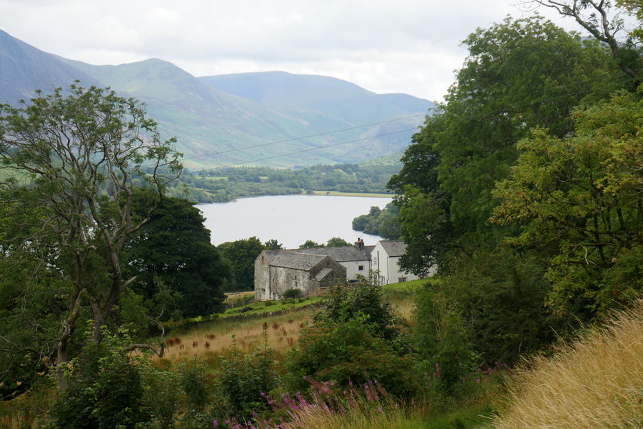
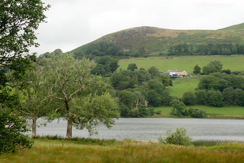
Our final 'Place' is Hudson Place Farm. This has changed hands recently but is still a working farm.
Looking across the meadow to the old Myresyke Farm.
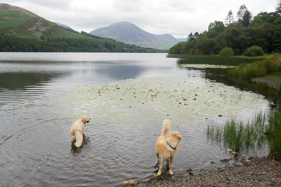
Chance to paddle in the lake for the dogs.
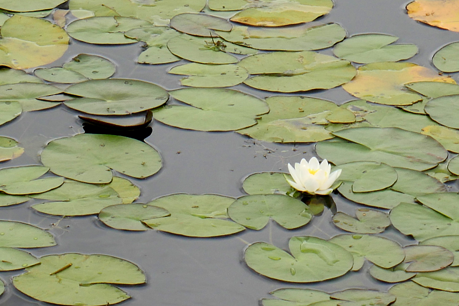
Water lilies grow in the still waters.
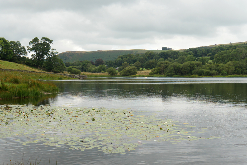
Looking back to the head of our small lake and the distant buildings of the Grange Hotel
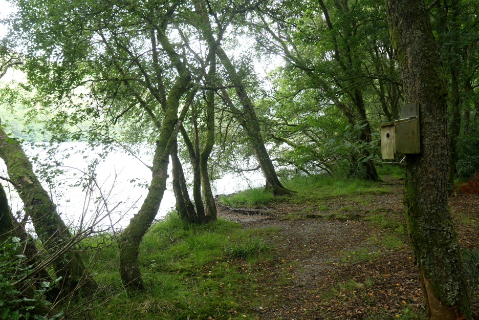
The family home of some of the Spotted Flycatchers of Holme Woods.
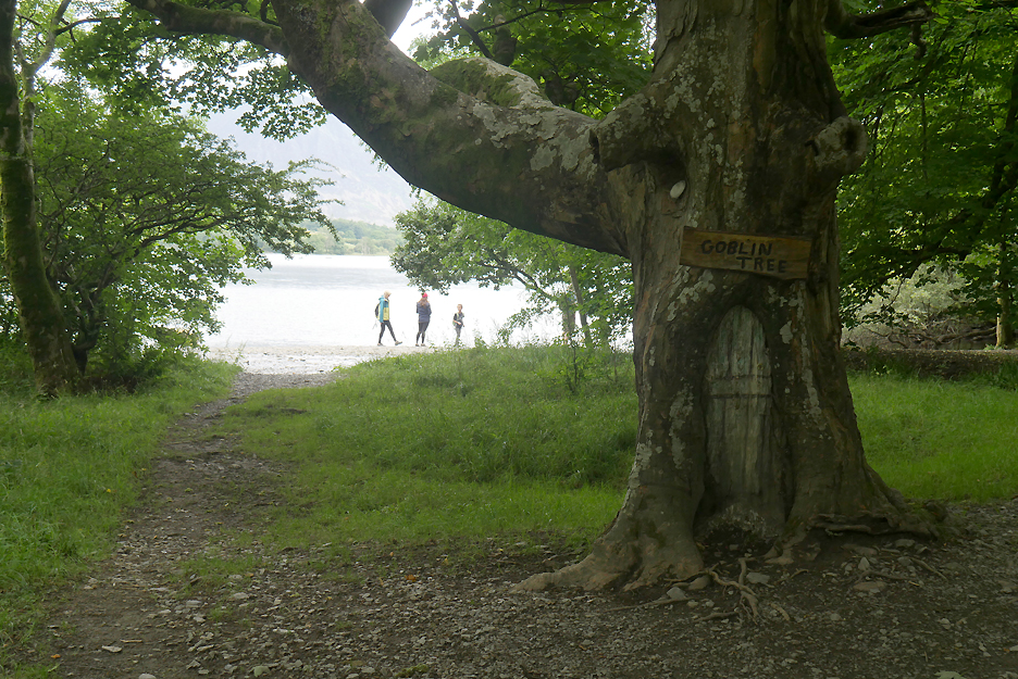
This home has a different resident living in it.
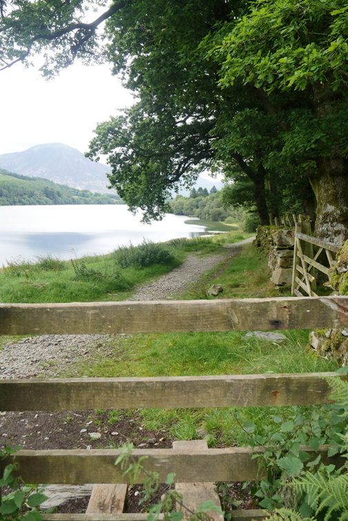
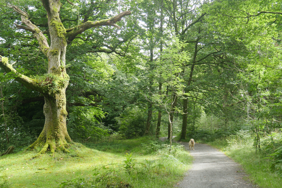
The sun makes a welcome appearance as I walk through Holme Woods.
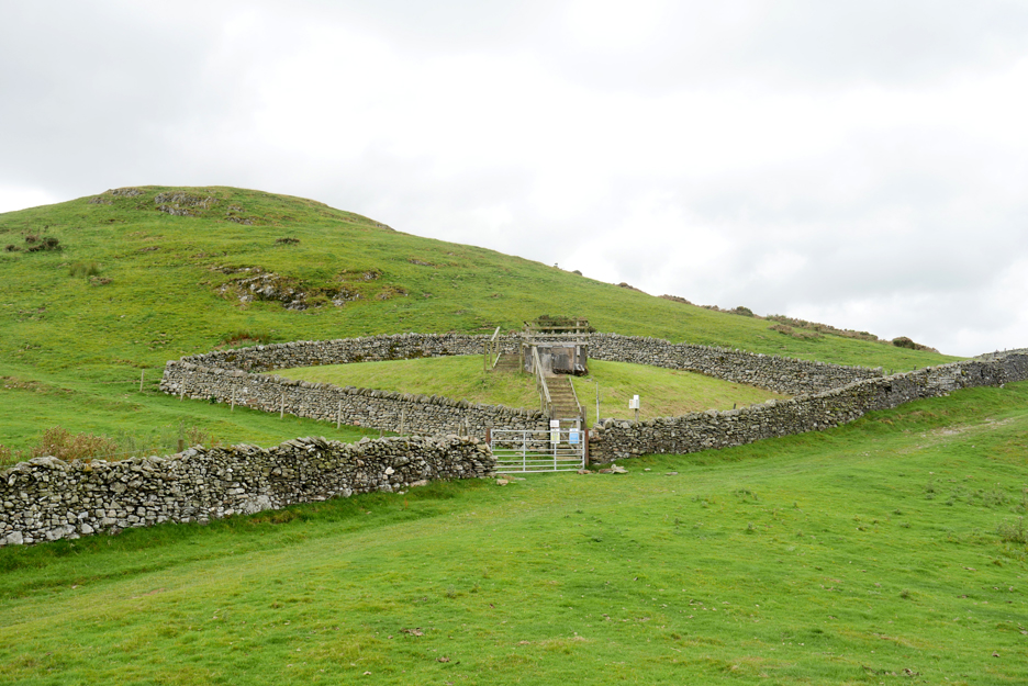
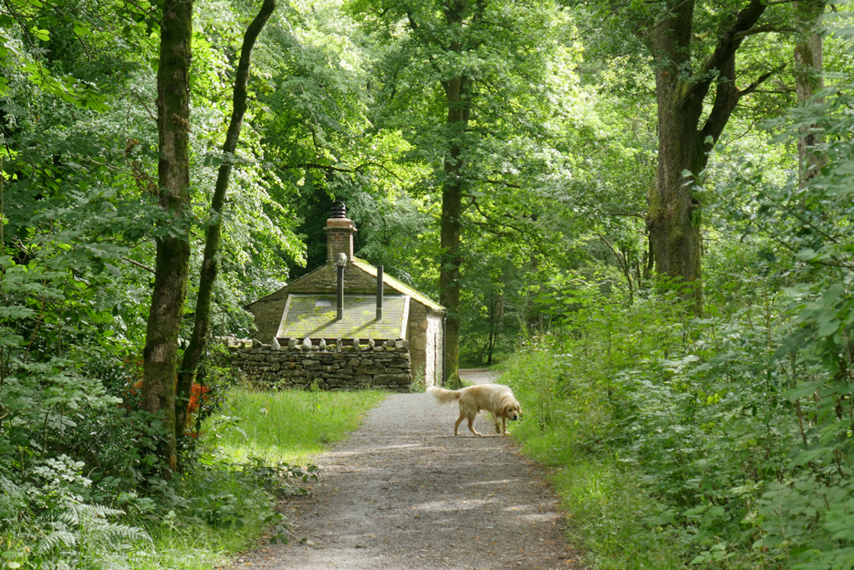
The National Trust Bothy (camping barn) is fully booked till late Autumn I'm told.
The seat however is available for passing visitors.
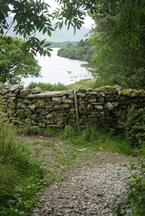
The boundary wall of Holme Woods as it reaches the lake.
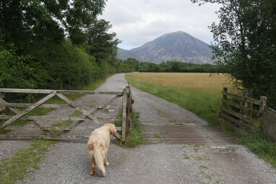
All that remains is for the walk back across the meadows to Maggie's Bridge. Would someone open the gate please !
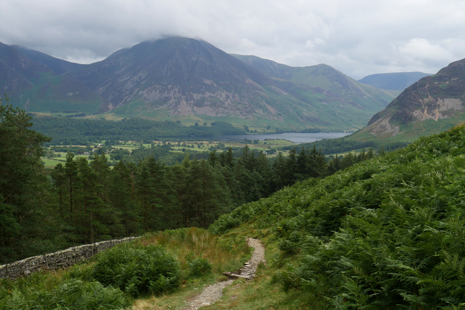
Mellbreak ahead.
There's still plenty of cars but on the higher part of the walk I saw virtually no one . . . who says The Lakes are packed with visitors ? - - - o o o - - -
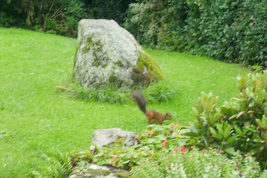
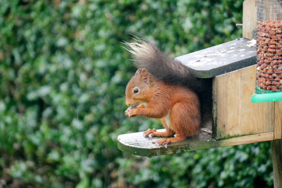
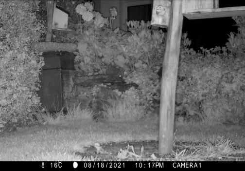
Summer has also brought the return of other welcome visitors to my garden.
One of two red squirrels . . . the other has a plain red tail. Between them they are eating me out of hazelnuts and monkey nuts.
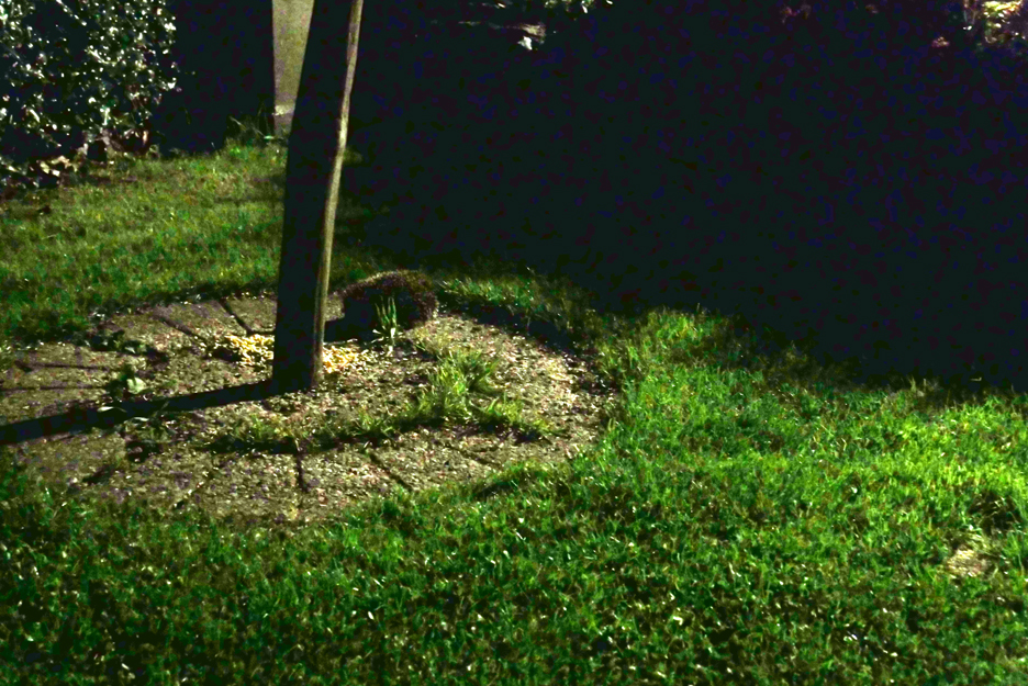
Another pleasant surprise this month has been the return of a hedgehog, seen here with my normal camera (and no flash).
Life is nothing if not interesting . . . time to think what to have for supper tonight ! - - - o o o - - - |


Technical note: Pictures generally taken with my Panasonic Lumix Gx8 Camera.
Resized in Photoshop, and built up on a Dreamweaver web builder.
This site best viewed with . . . a garden with a choice of veg to eat.
Go to Home Page . . . © RmH . . . Email me here
Previous walk - 1st August St Bees to Fleswick Bay
A previous time up here - 25-28th December 2015 - Coffin Road with Tre & Jason
Next walk - 12th August New Access at Cogra Moss