![]()
Remember: Press F11 for a full
screen view of this page.
Web Counter when published 1 888 100
|
|
|
|
Remember: Press F11 for a full
screen view of this page. |
Web Counter when published 1 888 100 |
|
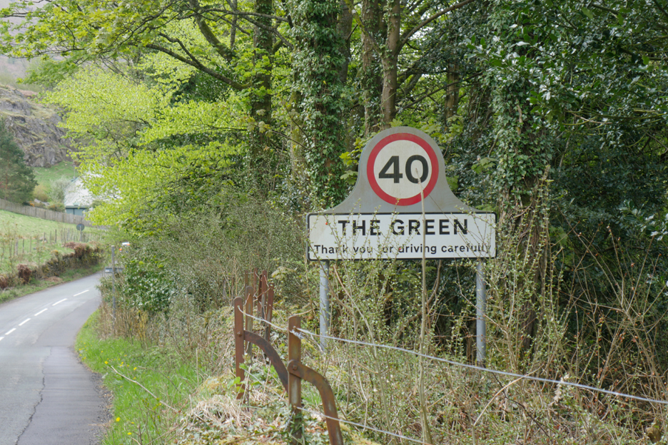
" High and Low Rigg, with Martin and James " Date & start time: 13th May 2021. 11.15 pm start. Location of Start : Legburthwaite, Thirlmere Green, Cumbria, Uk. ( NY 217 196 ) Places visited : Thirlmere Green, High Rigg, Low Rigg, Low Bridgend Farm and back. Walk details : 6.25 mls, 1450 ft of ascent, 3 hours 50 mins. Highest point : High Rigg, 1,163ft - 357m. Walked with : Martin and James, plus my dogs, Dylan and Dougal. Weather : Cool with the threat of rain which never really happened. |
© Crown copyright. All rights reserved. Licence number PU 100034184. |
|
A midweek day finds Martin and I travelling in the direction of Keswick for a walk on High Rigg. I phoned my friends in St John's in the Vale to see if they were at home, to call in afterwards and James was delighted to join Martin and I and act as local guide for this intriguing little Wainwright Fell.
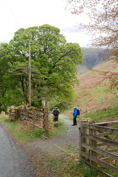
The starting point for the walk was Thirlmere Green at the southern end of High Rigg. The best place for parking will be the Legburthwaite car park, though we commenced our walk a little further away, from James's house.
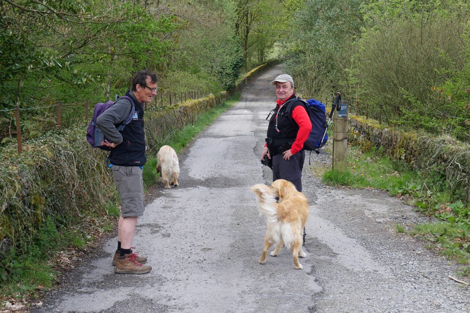
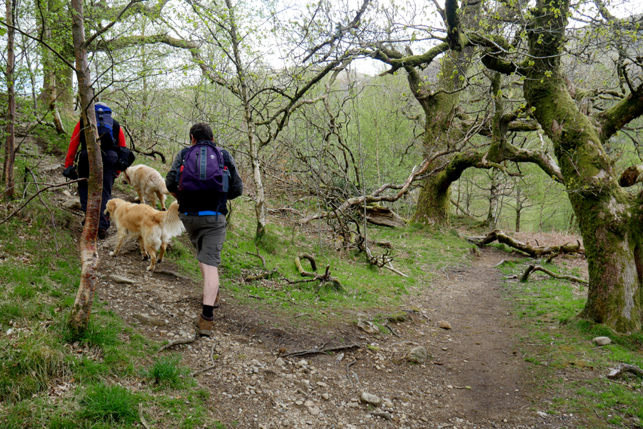
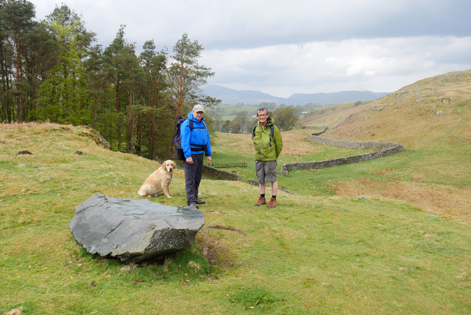
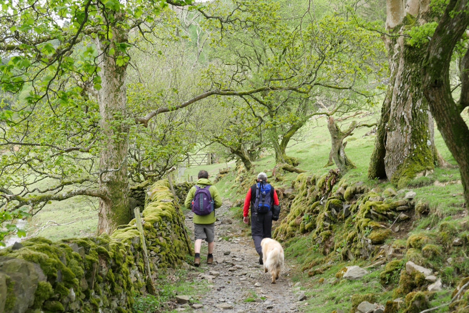
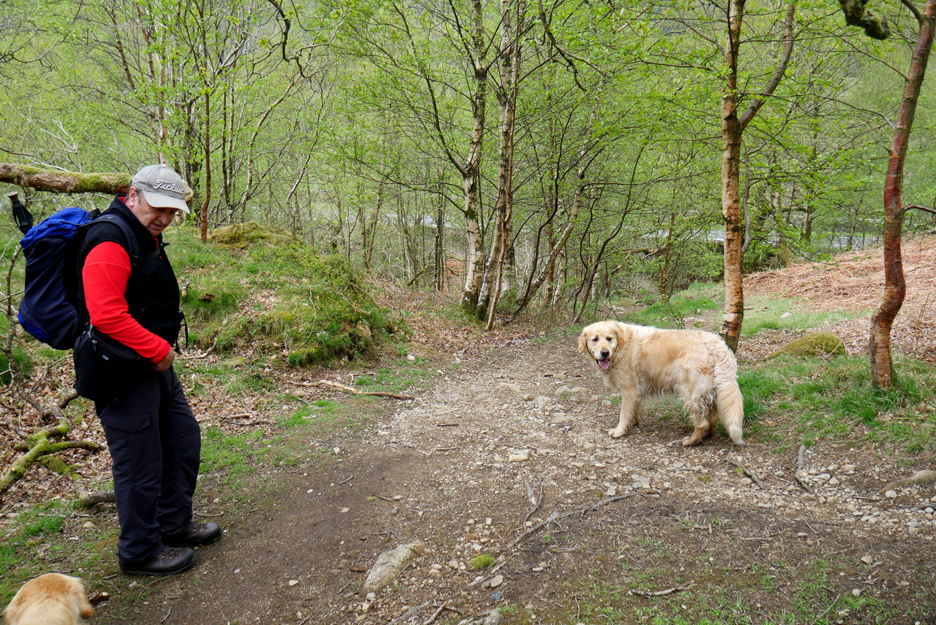
The old road at Legburthwaite is now used as a cycle way. The pedestrian exit from the car park opens out directly onto it . . . James is on the left, Martin to the right in this picture.
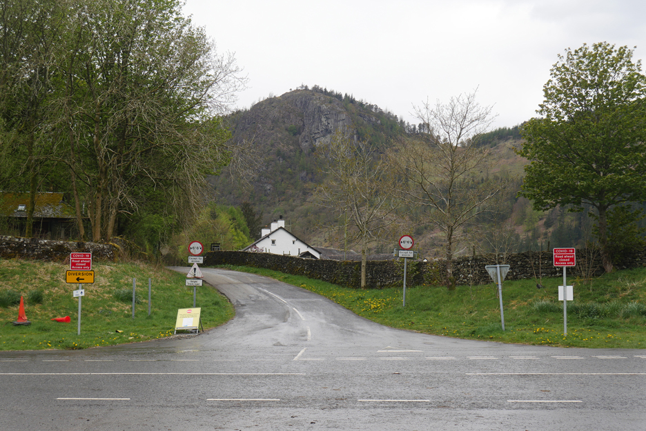
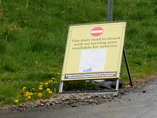
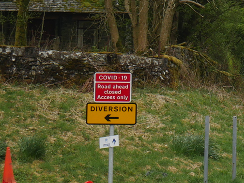
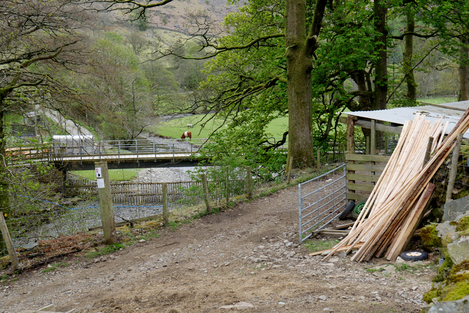
The road to Bridgend Farm is now officially a "no through road" as cars are no longer allowed to drive over the dam itself.
For some reason, which none of us could explain, the road is also marked as closed due to Covid (?)
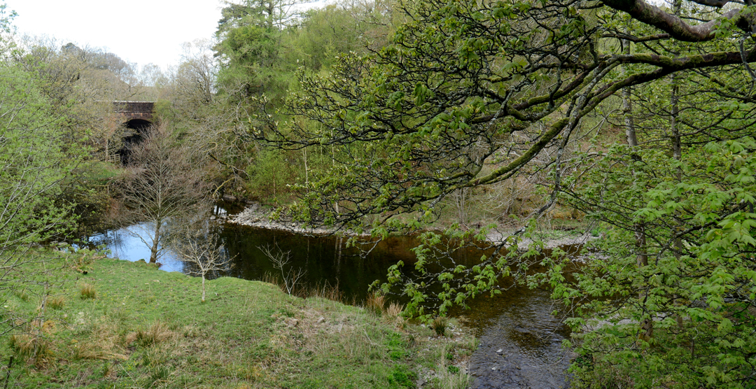
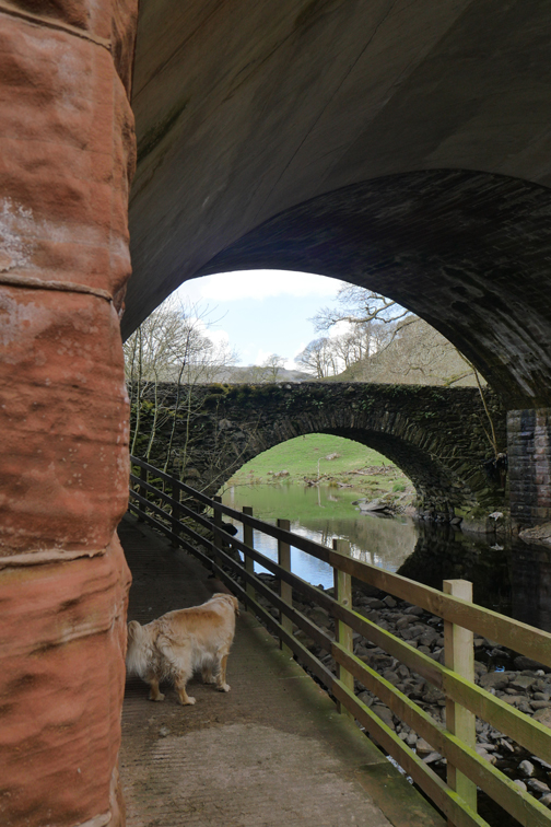
James mentioned that the A591 bridge over St John's Beck (the natural outflow from the reservoir) was a triple bridge. Intrigued, we divert under the road to see what he meant.
Returning to the toad the same way we could also see How Beck Bridge that we had used on the walk across the valley from Legburthwaite.
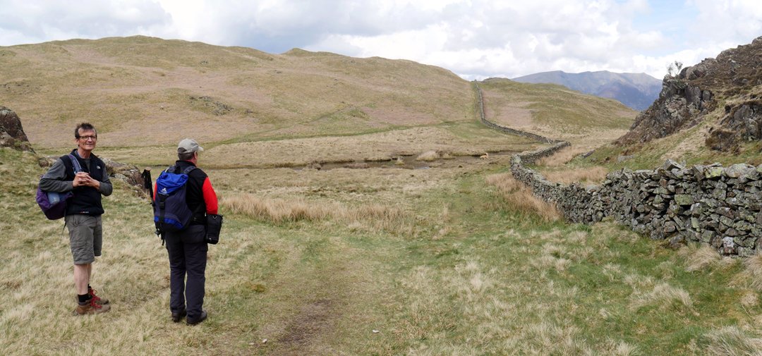
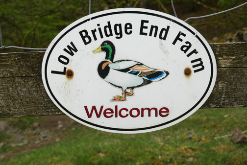
A fifty yard walk up the roadside verge brought us to the gate at the southern entrance to the fell. Here we meet the path from Low Bridgend Farm that skirts the fell and we turn left to start our first ascent of the day.
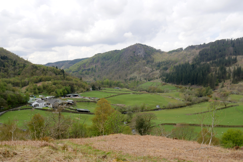
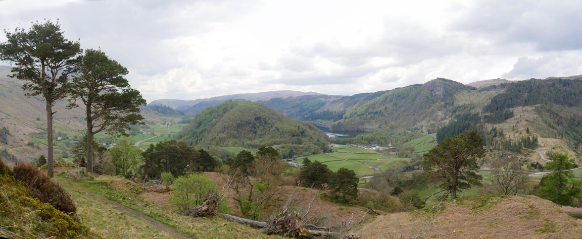
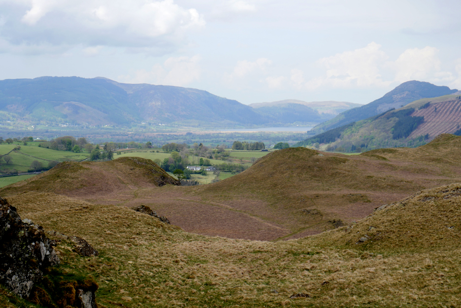
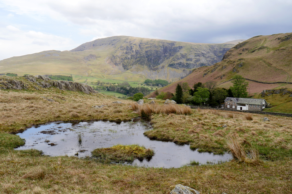
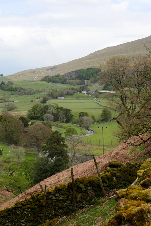
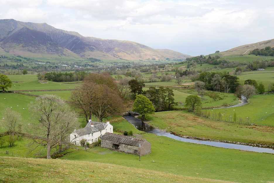
Soon we were rewarded with a view across to Bridgend Farm and Raven Crag. The Thirlmere Dam and reservoir is hidden behind the lighter green trees between the two landmarks.
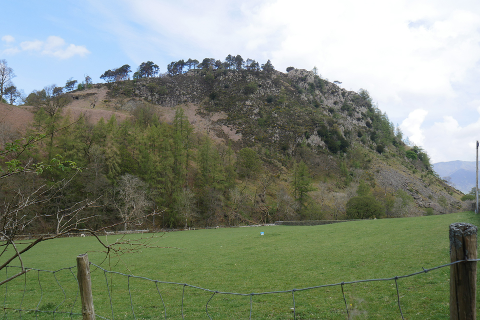
On the other side were the houses of Thirlmere Green including, to the left, the forestry depot marked as 'saw mill' on the map. High above them is Castle Rock, immortalised by Sir Walter Scott and also known as a popular rock climbing area. Read more about the rock, the legend and Sir Walter Scott’s epic poem of 1813, Bridal of Triermain here
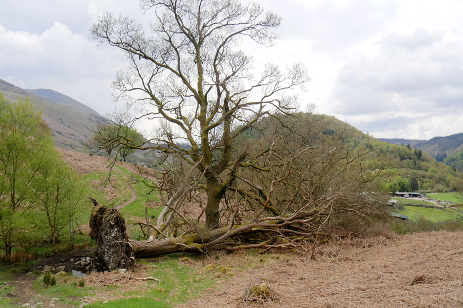
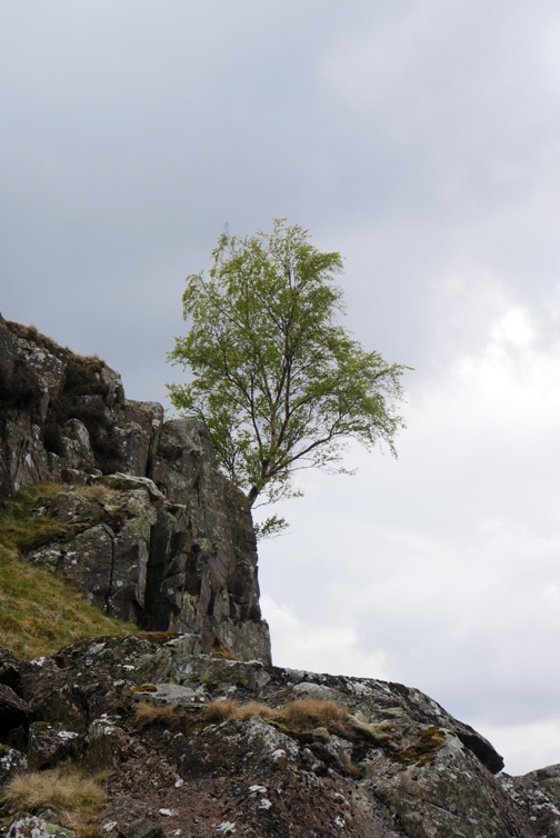
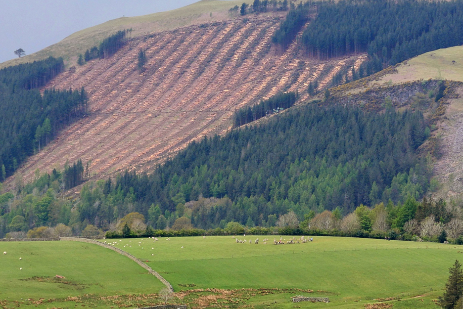
The Thirlmere valley took a hammering from the Beast from the East storms in 2018. Many of the fine Scots Pines, plus thousands of other trees, were blown over by strong winds during this ten day period.
These two pines stand testament to the splendour of what was lost during that storm. below we now had a view of the lake and the wooded slopes of Great How in the centre of the Thirlmere Valley.
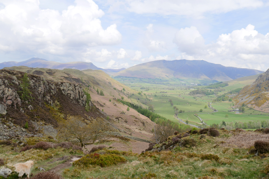
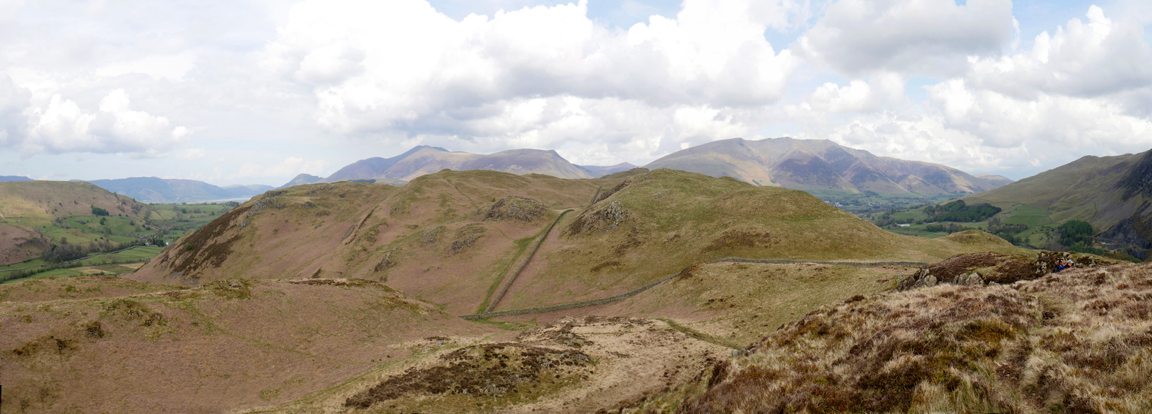
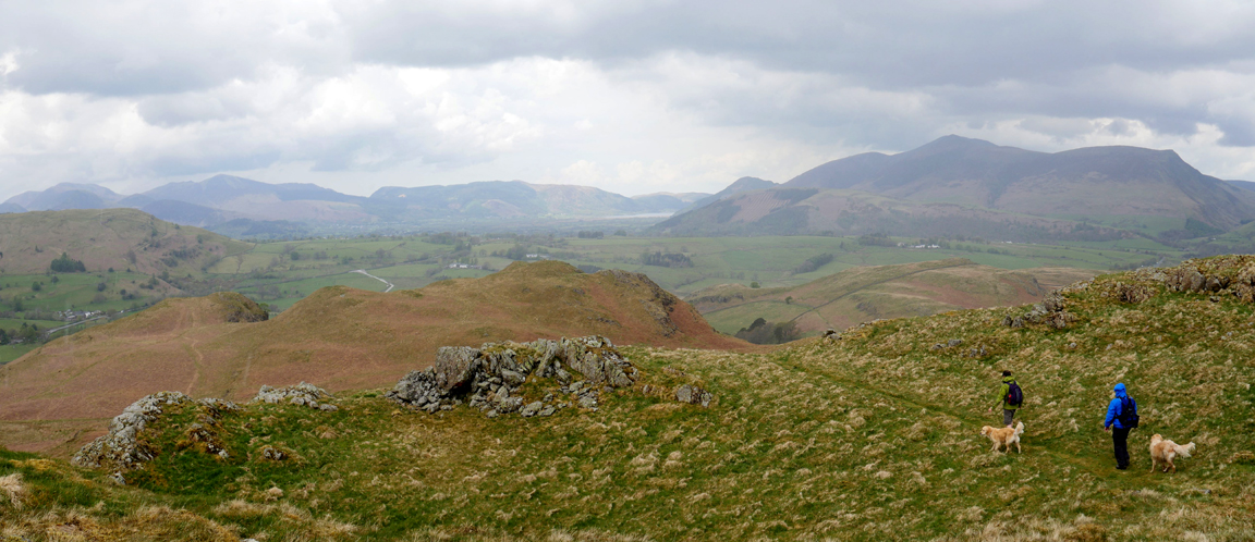
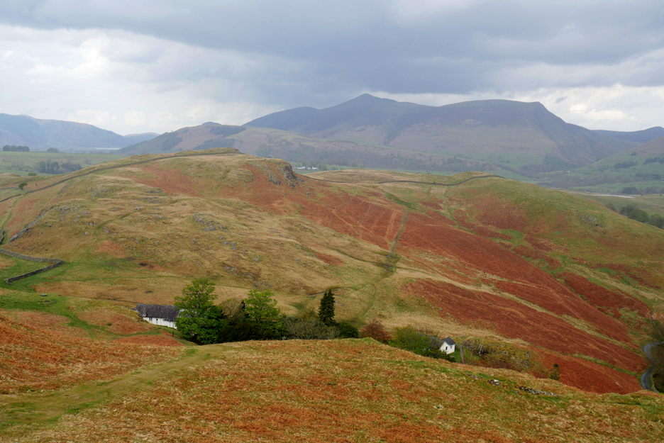
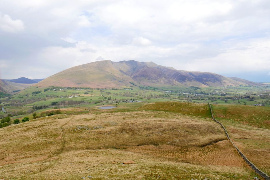
We're walking the section of the fell known as Long Band. Ahead are the crags of the delightfully names Cowrake Head, with Skiddaw and Blencathra in the background.
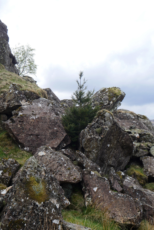
A lone pine seems to be surviving amongst the rocky slope of the cliff.
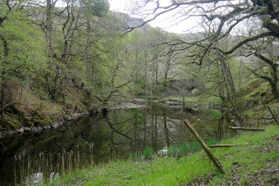
High Rigg is a delightfully undulating fell and so is full of numerous watery hollows and boggy places. Navigation on the map is difficult despite an enlarged 2.5 inch map printout, but it doesn't matter today, as we just keep a valley on each side and Blencathra ahead as we work our way north up the fell towards the distant summit.
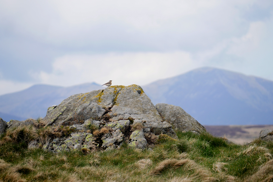
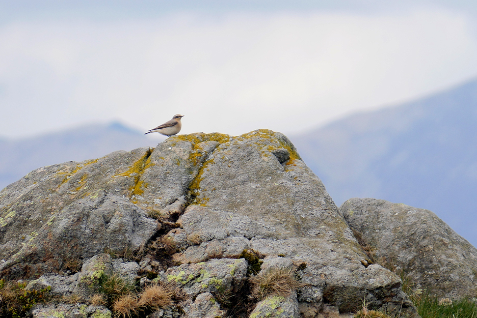
On a minor top along the way we saw a Wheatear also admiring the view.
A close up before he flew away.
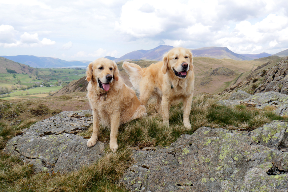
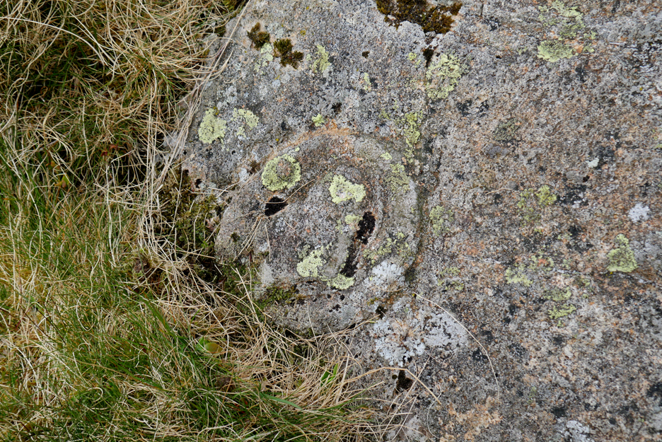
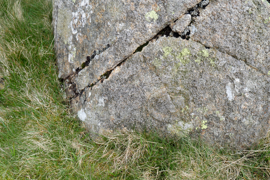
His place taken on the rock by two other visitors. James pointed out something unusual he had found (discovered and reported) on the rock beneath their feet. There was a circular mark low in the centre and to the right of what looks like a scull with two eyes ! There seems to be another alongside Dylan's right foot.
The scull is just a surface effect caused by the moss and lichen but the circular concentric circles had been scored deep into the face of the rock.
These carvings into the same rock have been identified as "Ring Marks" of a similar age to the cup marks on the rock in our Loweswater field. British examples originate from the neolithic period
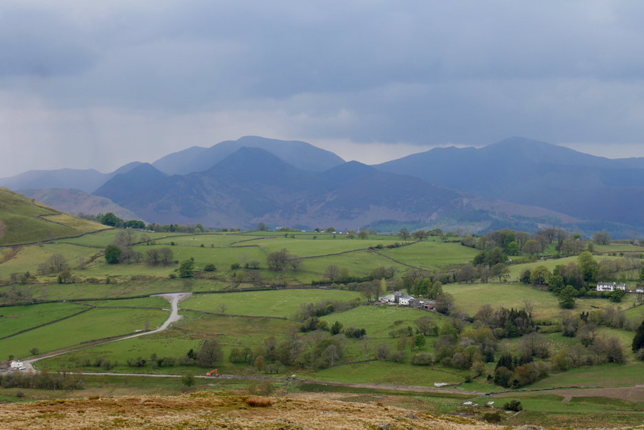
From this summit we have a good view ahead to the higher end of High Rigg and to the left of Skiddaw we see Bassenthwaite Lake for the first time.
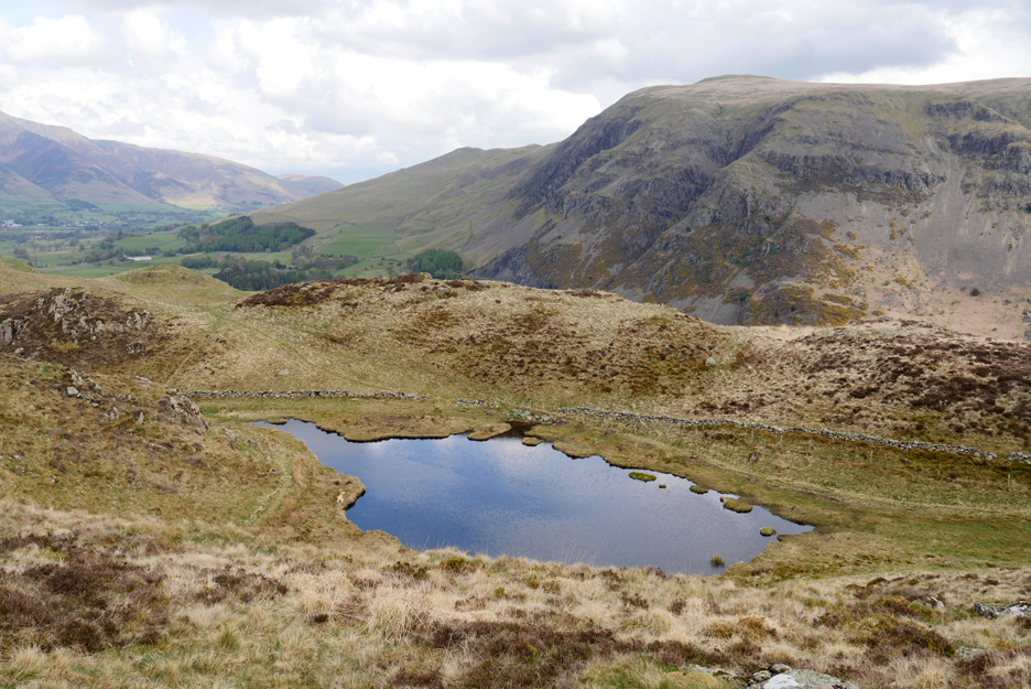
Another small, unnamed tarn along the way.
The path doubles back to descend to the tarn and the path will turn again and continue alongside the wall.
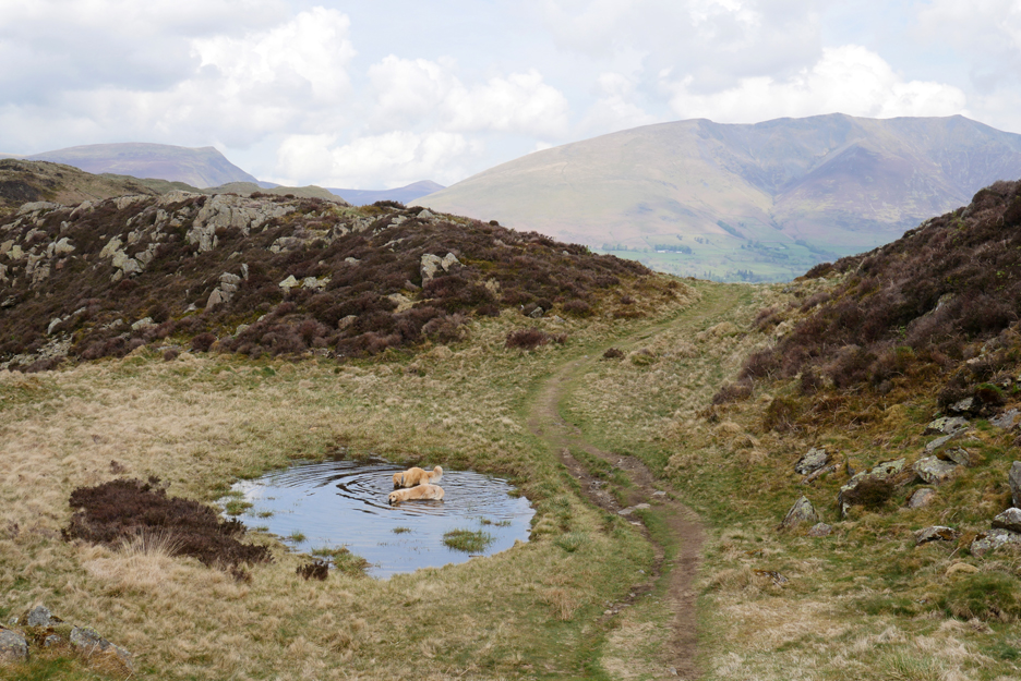
Ahead is one of the many unnamed 'mosses' on the undulating fellside. It looks like Dylan and Dougal are down there ahead of us and already getting their feet wet !
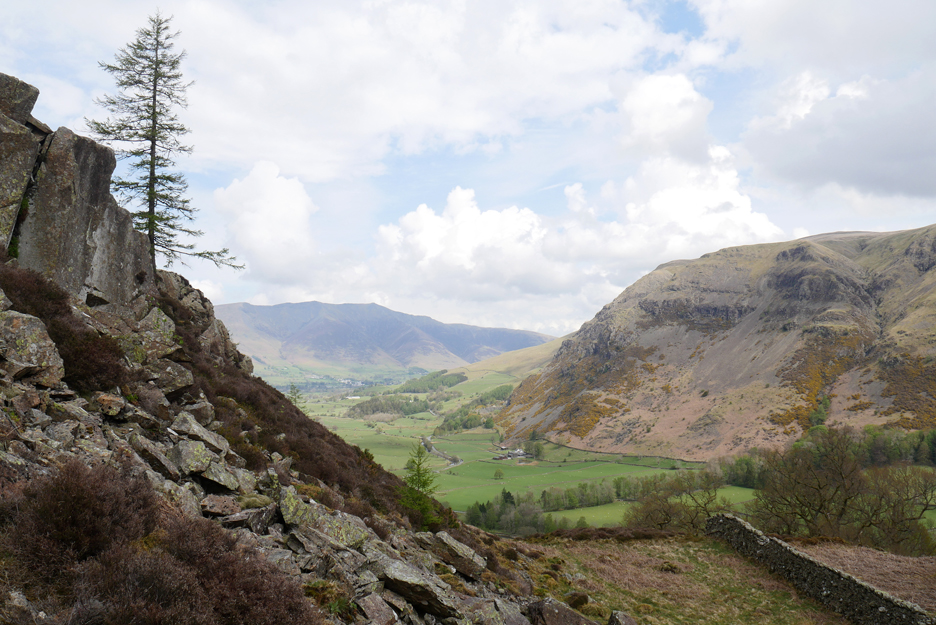
For some reason I've no photo of my two companions on the summit rock so here's a view of Bassenthwaite Lake taken from our lunch stop, from the shelter of the rocks below the summit.
I remember now . . . it had just started to rain so we swapped camera for gortex and searched for a spot out of the wind. This was the view as we re-started the walk after lunch.
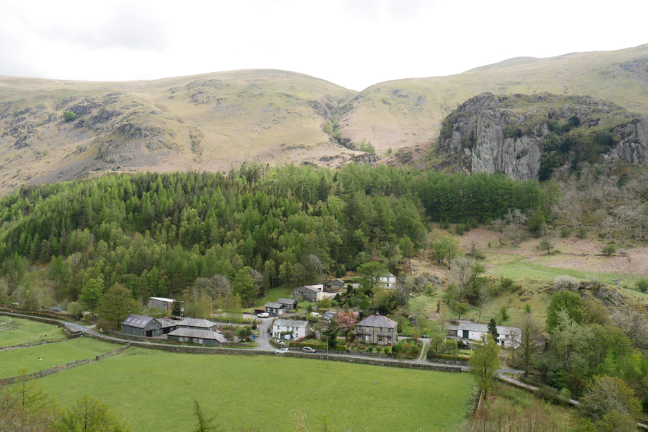
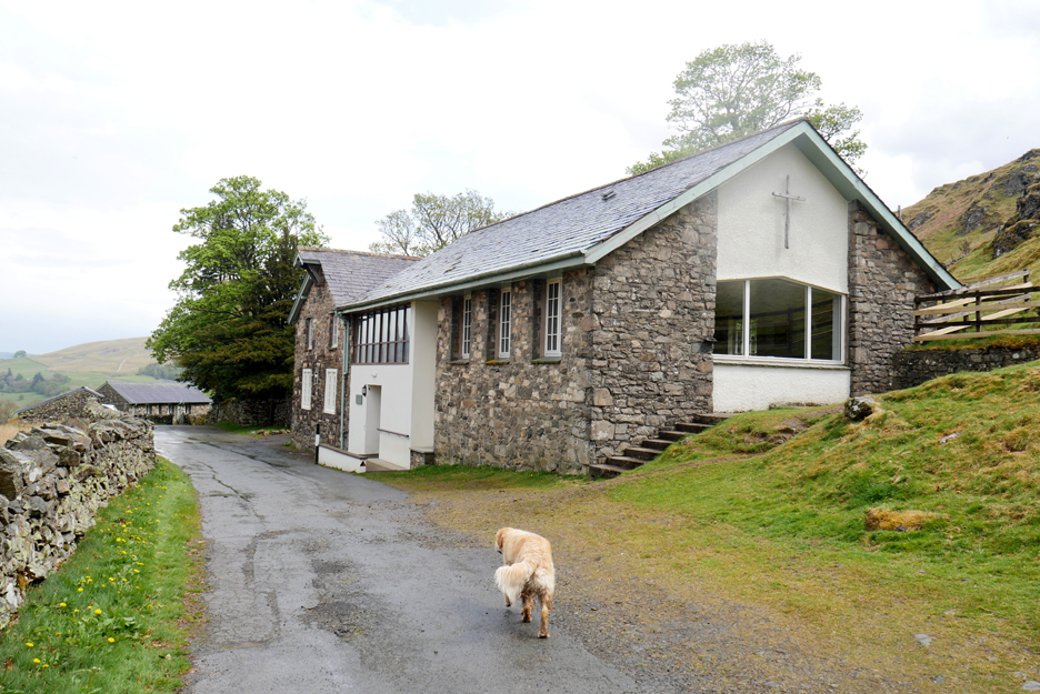
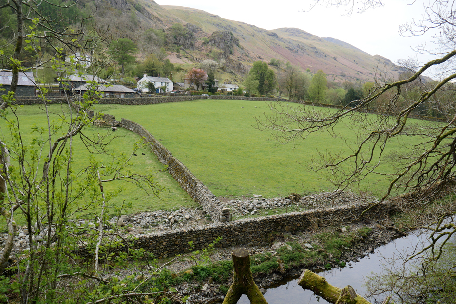
Taking one of the many green tracks down to the middle of the double fell. Below us is the Church and Youth Centre of St John's that gives its name to the local "St Johns in the Vale" name.
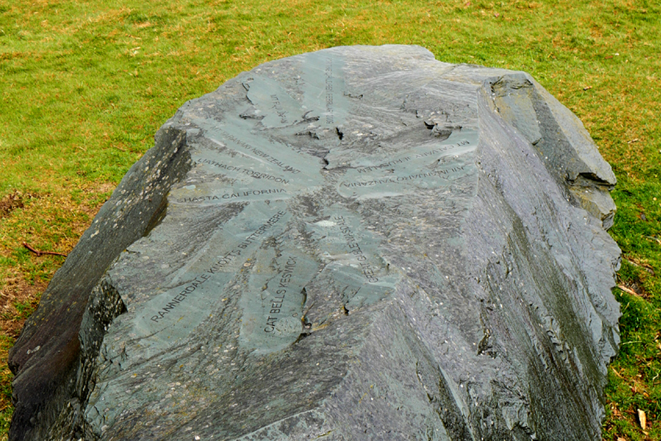
Above the centre is a memorial stone to Charles and Sandra Crane who were very involved with the Church and Youth Centre here. [ I worked with Charles as trainee stage manager with our local Tethera Players on stage events at Loweswater Village Hall.]
Presumably these were the names of places of importance to Charles and Sandra.
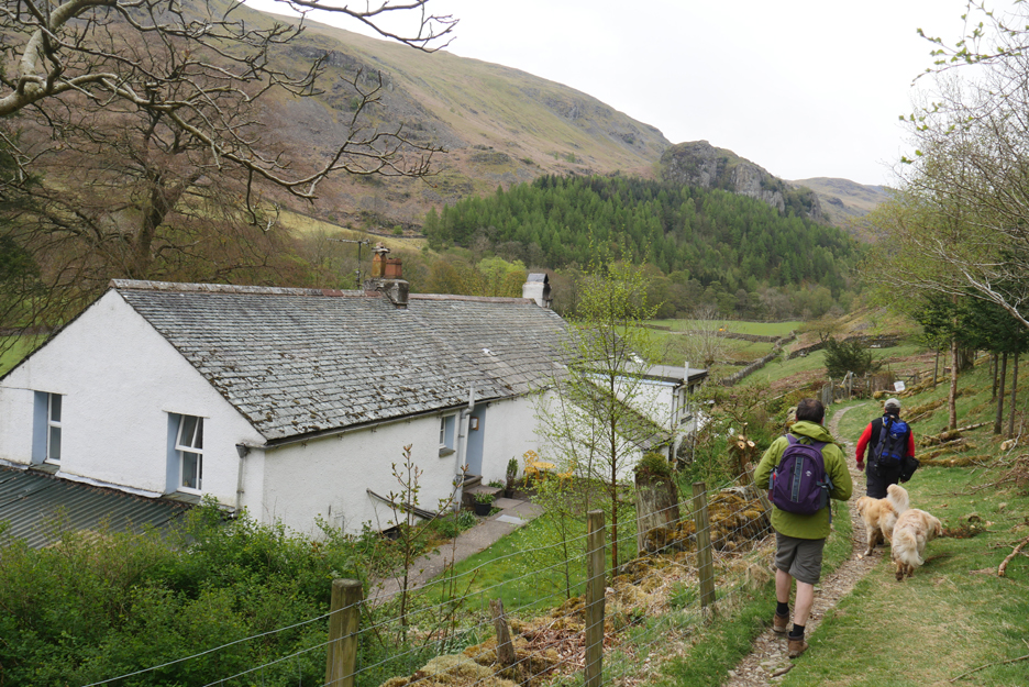
A fifty yard road walk past the Youth Centre found us at the stile (or gate if you preferred) onto the Low Rigg section of the fell.
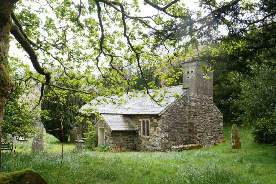
It also took us past the delightful St John's Church . . . we'll visit again on another day.
Looking across to Clough Head as we climb onto the moorland fell.
We cross the wall and head to the summit of Low Rigg. No Wainwright point for Martin for this lower summit, but we did get a view of Tewet Tarn on the far end of the fell. [ This is open access land but the only easy crossing of the wall is away in the distance. If the farmer doesn't want his wall at the top continually damaged, perhaps it would be a good idea include a step-stile access to Low Rigg summit when the wall is next rebuilt. ]
Zooming in from the summit viewpoint we could make out Castlerigg Stone Circle in the field above the darker green trees in the center of the picture.
Even closer in with the power of the computer . . . the stones are the darker grey coloured sheep that haven't moved for centuries ! The circle is believed to pre-date the building of the famous Stonehenge in Wiltshire.
Looking around we can also see Causey Pike, set against a backdrop of Crag Hill and Grisedale Pike. Confusingly, Ard Crags blends with Causey giving Rowling End an unfamiliar triangular appearance.
Bridge House and the footbridge over St John's Beck. The water, reduced in quantity by the Thirlmere dam, will meander down and join the River Glenderamackin from Blencathra, to form the River Greta that "grumbles its way over the stony river bed" alongside the railway path towards Keswick. There are moves to get the River Greta (pronounced ‘Gr-ee-ta) to be pronounced ‘Gr-e-ta’ after the Swedish climate activist, Greta Thunberg.
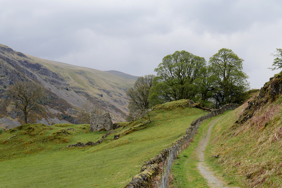
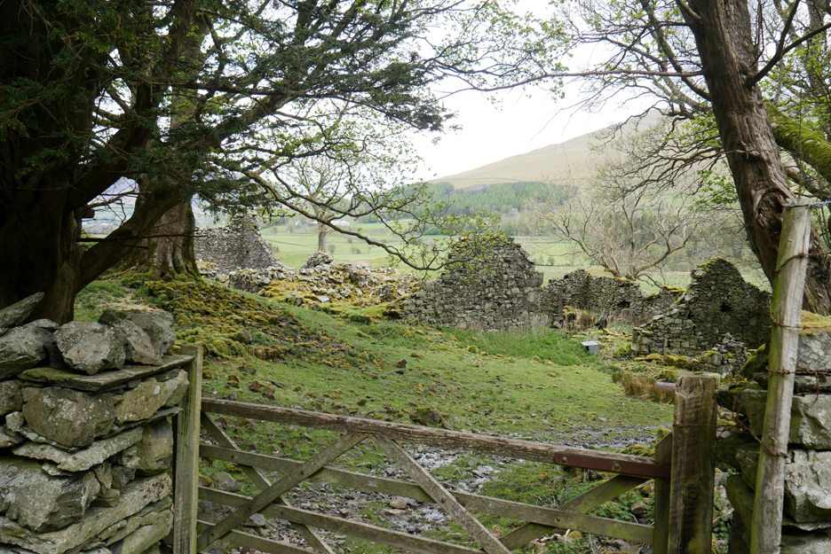
The remains of the old Rake How Farm on the rock bluff ahead.
James suggested that poor access and poor water supply to the old farm meant that it was difficult to maintain the building, hence the ruinous state.
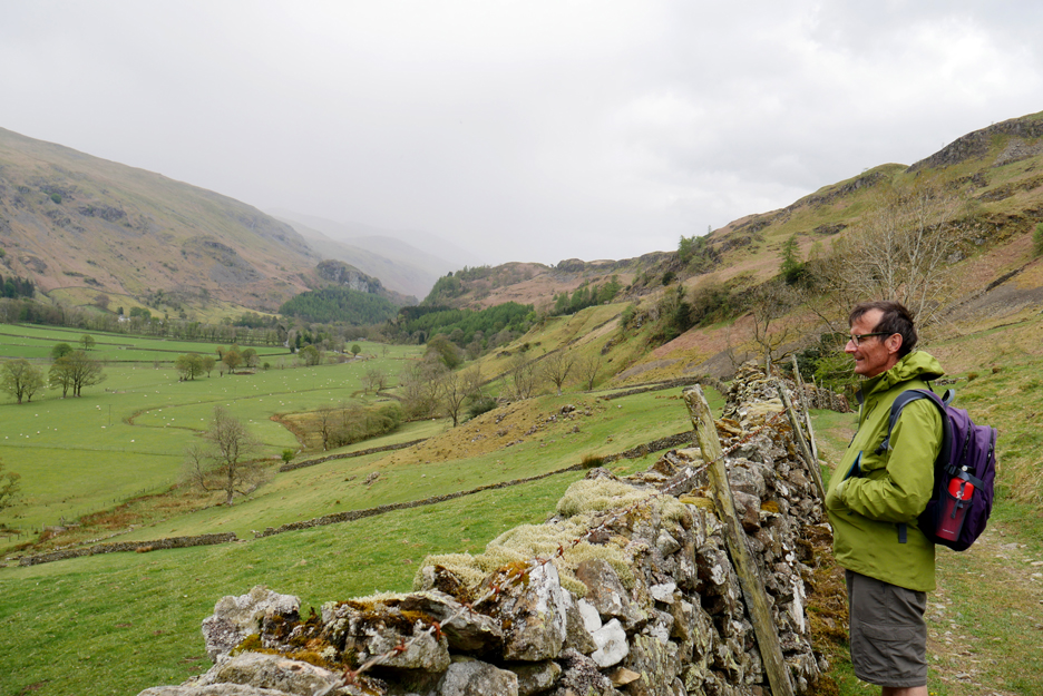
We continue on along the track but are a little perturbed by the appearance of more poor weather ahead. Here James is looking down at the old Sosgill Bridge (out of picture) and ignoring the rain.
The track enters the farm yard and is connected to the new bridge over the river. This was one of the many Cumbrian Bridges that were damaged and then replaced after the heavy flooding a few years back.
However, the footpath continues on around the fell, passing above the back garden of the farm.
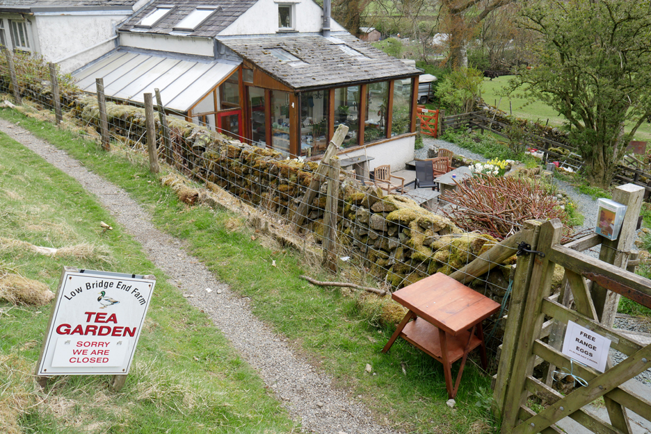
In normal times we would stop for refreshments at the farm . . . they do a mean cup of tea and lovely cakes. They offered a self service option and an honesty box should farm duties mean that they couldn't serve you personally. Hopefully this service will resume once covid regulations are a thing of the past.
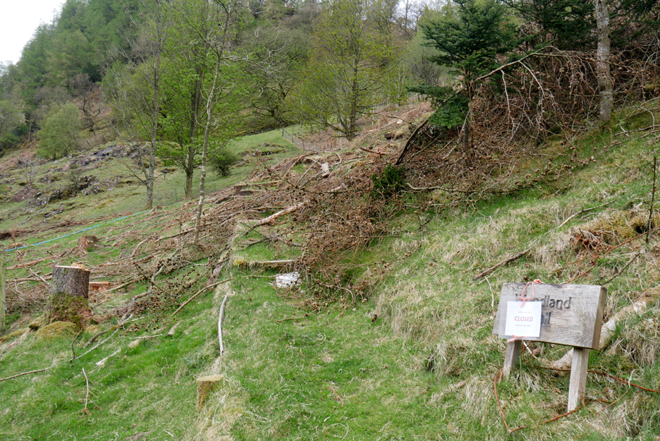
What is more difficult is to reinstate is their "Woodland Walk", as the larch trees have had to be cut and removed due to a fungal disease . . . no more forest to walk around !
As the river meanders close to the high cliffs of Wren Crag the path zig-zags through the fallen boulders then climbs slightly up the fellside.
Looking across to the buildings of Thirlmere Green and down on a rather nicely re-built section of field wall which collapsed after winter flooding.
We've rounded the circle by reaching the path where we started our ascent earlier in the day. The grey tarmac of the A591 can be seen ahead through the trees.
The poor weather we saw earlier has fortunately not materialised and we continued to have a dry walk. A look back at Wren Crag as we take the old road back across the valley at the end of the walk. - - - o o o - - -
- - - o o o - - - |
|
Technical note: Pictures generally taken with my Panasonic Lumix Gx8 Camera. Resized in Photoshop, and built up on a Dreamweaver web builder. This site best viewed with . . . a lost and found camera battery being united with a new Cannon host. Go to Home Page . . . © RmH . . . Email me here Previous walk - 27th April - 14th May - In search of Rannerdale Bluebells A previous time up here - 1st December - Low, lower and High Rigg Next Walk - 15th May - Up and Over Mellbreak
|