![]()
Remember: Press F11 for a full
screen view of this page.
Web Counter when published 1 876 259
|
|
|
|
Remember: Press F11 for a full
screen view of this page. |
Web Counter when published 1 876 259 |
|
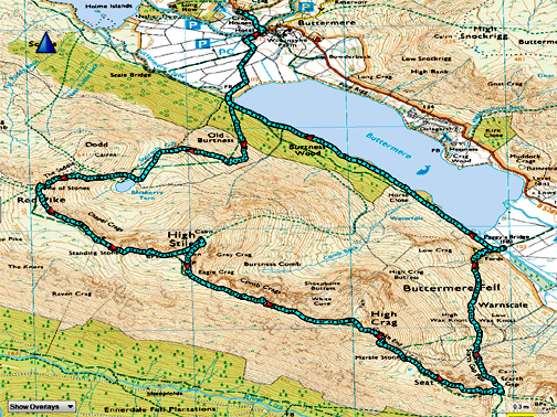
" An eventful Day on High Stile " Date & start time: 1st April 2021. 10.15 am start. Location of Start : National Trust car park, Buttermere, Cumbria, Uk. ( NY 143 211 ). Places visited : Buttermere Village, Bleaberry Tarn, Red Pike, High Stile, High Crag, Gamlin Edge, Seat, Scarth Gap path back to the lake and return via the southern side of Buttermere. Walk details : 7.25 mls, 2900 ft of ascent, 5 hours 40 mins. Highest point : High Stile, 2,644ft - 807m. Walked with : Paula, Abi and the dogs, Dylan and Dougal. Weather : Low cloud obscured the high fells, clearing slowly to lovely sunshine. |
© Crown copyright. All rights reserved. Licence number PU 100034184. |
|
With the Easter upon us and lock-down easing, my daughter and grand daughter are over as they are part of my family bubble, looking after my every need and also dragging me out for walks. The dogs just needed collars and leads, a few biscuits for lunch and the instruction to jump into the car, however, I have to get the mountain boots and rucksack out of the cupboard today for a return to the high fells.
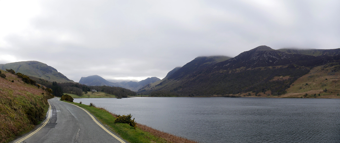
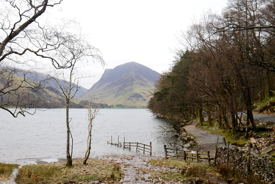
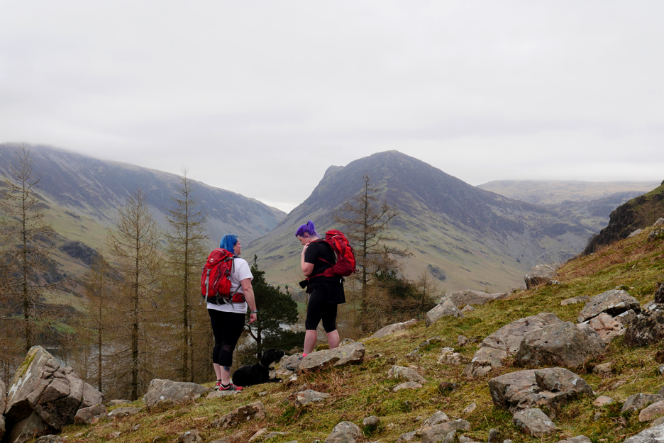
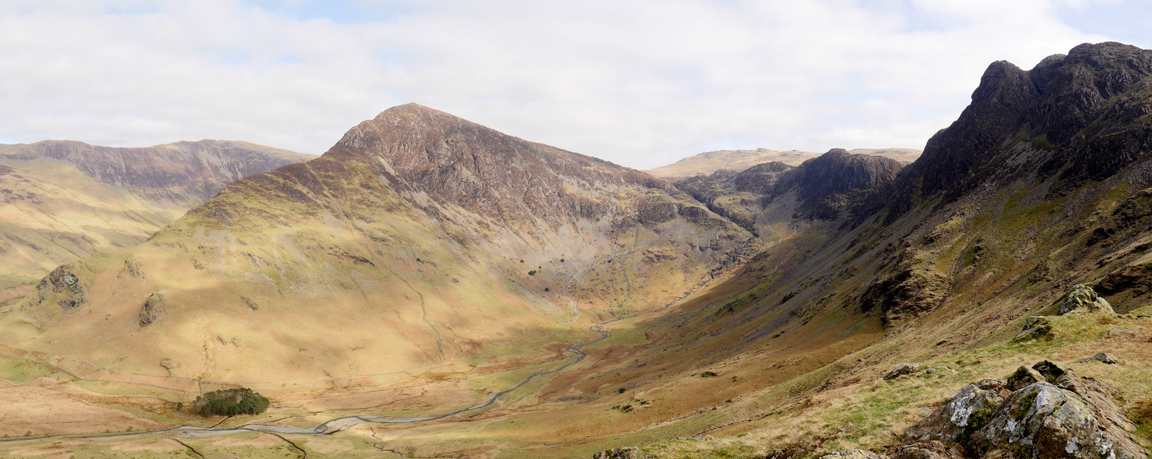
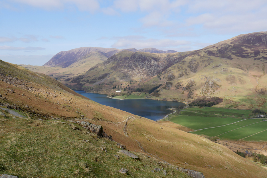
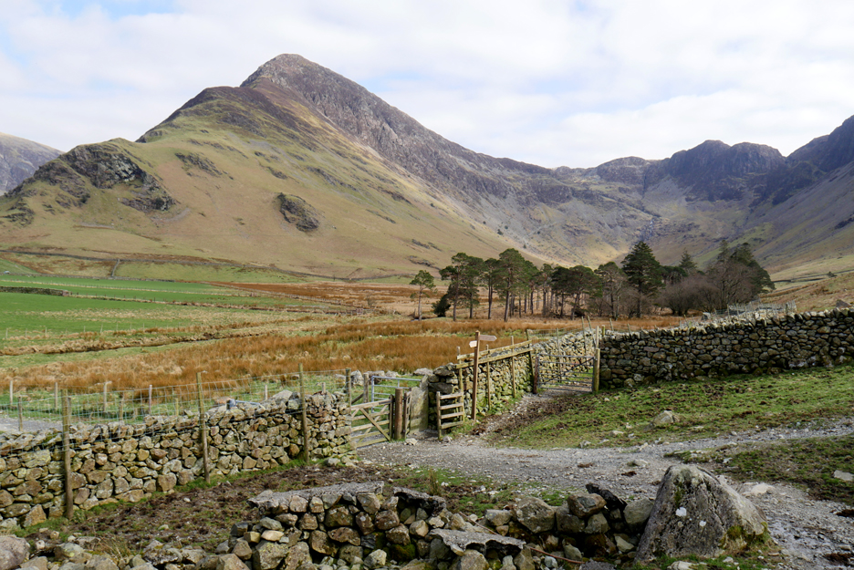
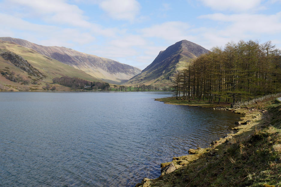
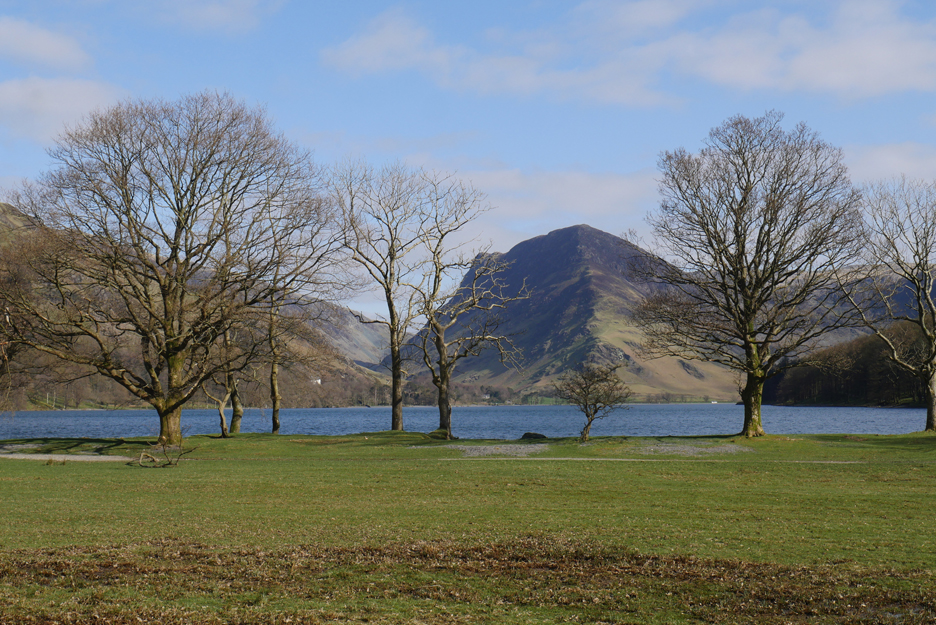
The view as we rounded Hause Point and we checked out the High Stile Ridge on the right, our objective today.
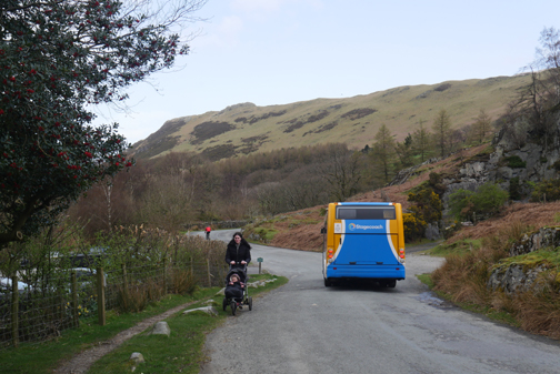
Walking down into the village . . . traffic is light as the cafes and hotels are not open.
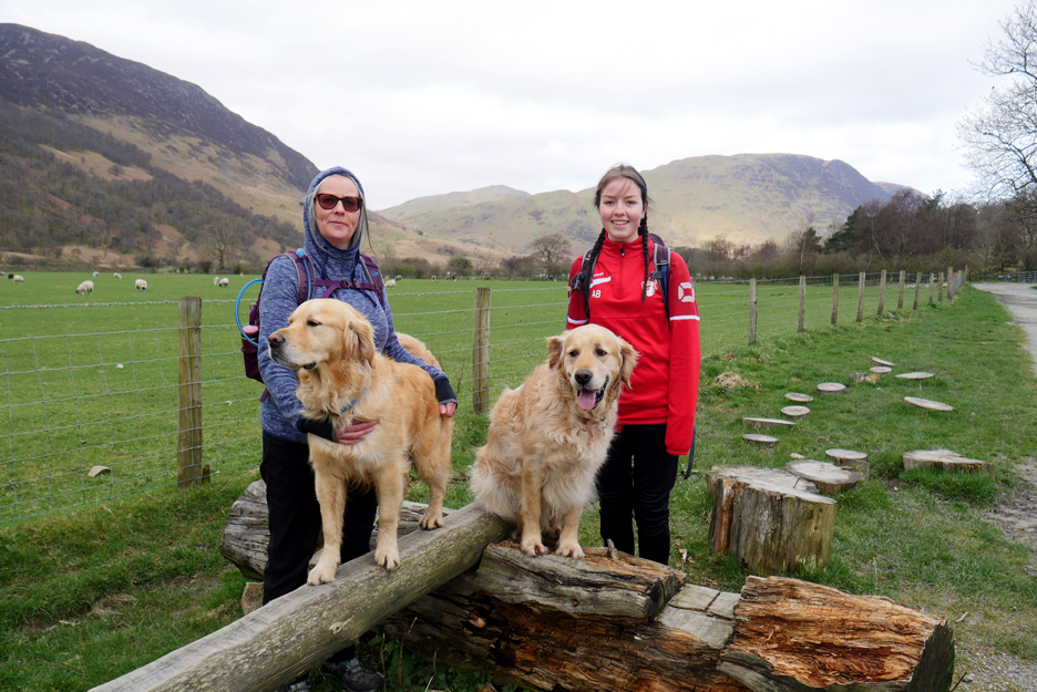
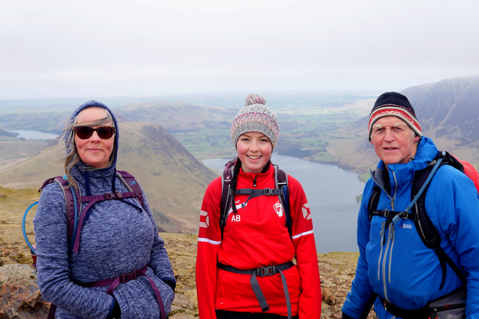
My family companions today, Paula and Abi. We pause by the wooden steps and pole, part of the National Trust "50 things to do before you're 11 3/4 yrs old", set up some years back now.
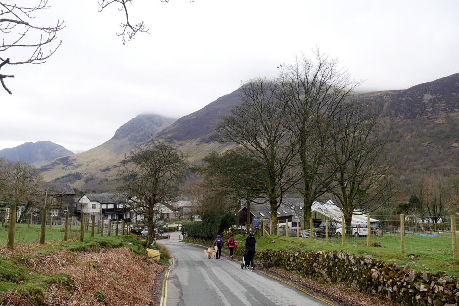
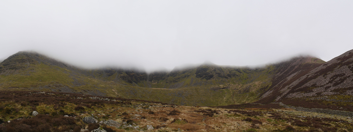
Looking up towards High Stile we notice the tops are in cloud. The forecast is reasonable but in reality the weather hasn't yet started moving in the direction of our slightly optimistic desires.
It is dry however, and visibility is reasonable at Buttermere lake level. What is missing is the depth of colour this rather damp and overcast pre-Easter (Maunday Thursday) morning.
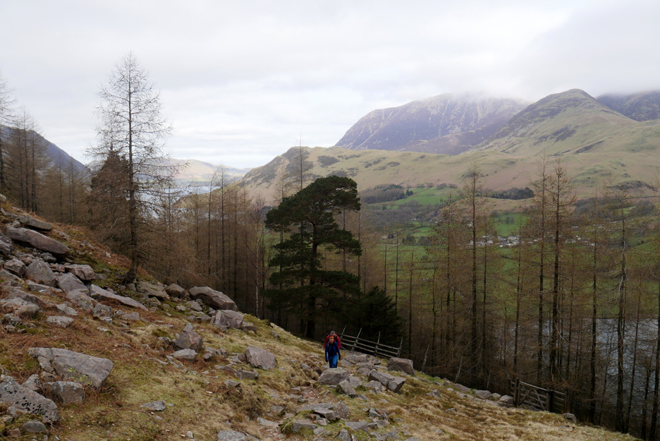
On leaving the woodland we can see Rannerdale Knotts and Whiteless Pike but Grasmoor behind them is very much still head-in-the-clouds.
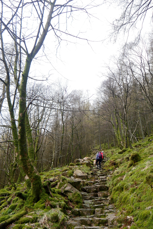
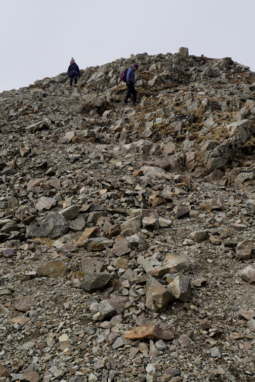
There are quite a number of people on the fells, including these two ladies with fine lock-down hair styles. These two and others we would see several times on our journey over the fells.
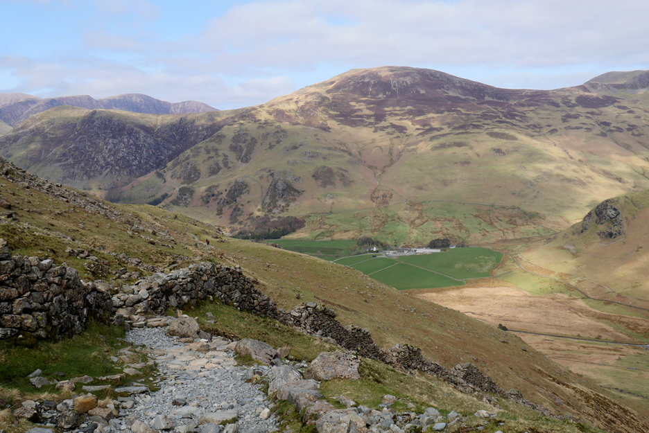
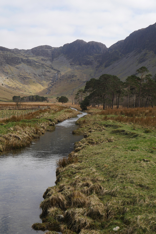
Looking up the valley from higher up the steps where Fleetwith Pike and Gatesgarth Farm are now clear of the trees.
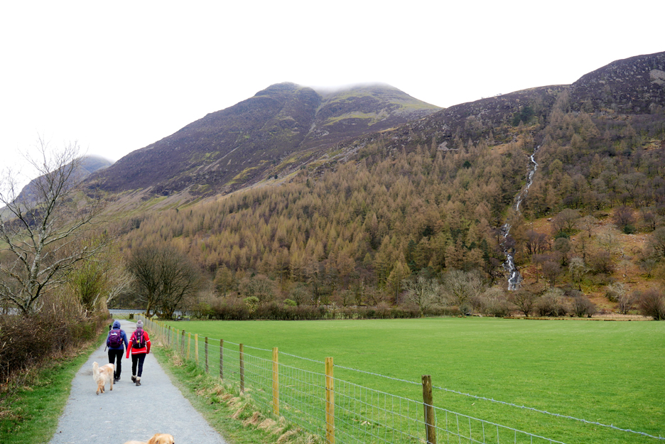
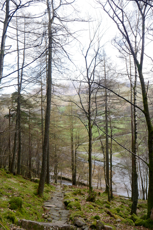
The path twists and turns several times on the ascent but eventually it returns to the finish the climb alongside Sour Milk Gill.
The air is clearing but the tops are still in cloud . . . the extend of views we might get is still in doubt.
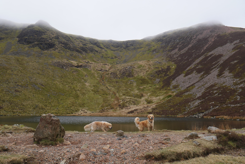
As we reach Bleaberry Tarn our hope, like our altitude, have risen nicely. The summit of our first fell, Red Pike seen on the right, is clearing nicely.
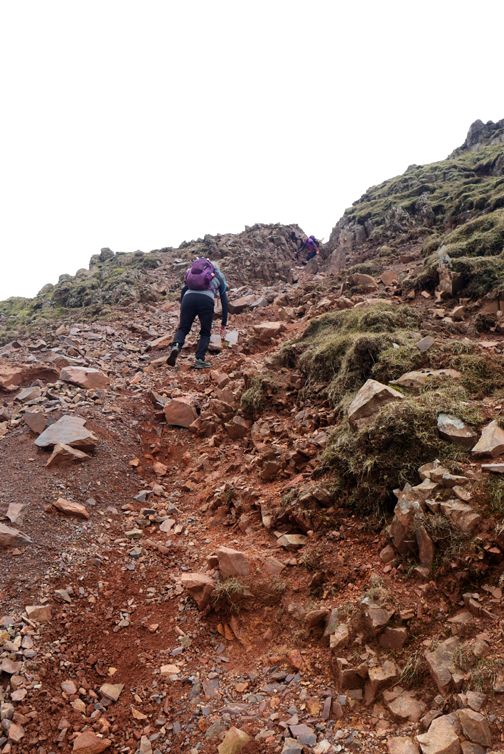
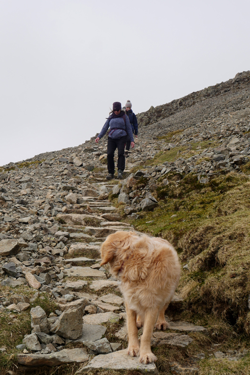
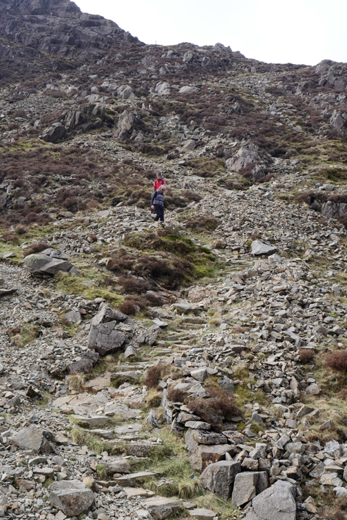
A brief stop to gather our thoughts and we are onward and upward once again. The pitched path, which ended as it reached the more level ground, has been re-started for this next section of the climb.
The cross roads allows you to walk out onto Dodd and look down into the valley below but we'll pass on the diversion and continue on our way . . . upward.
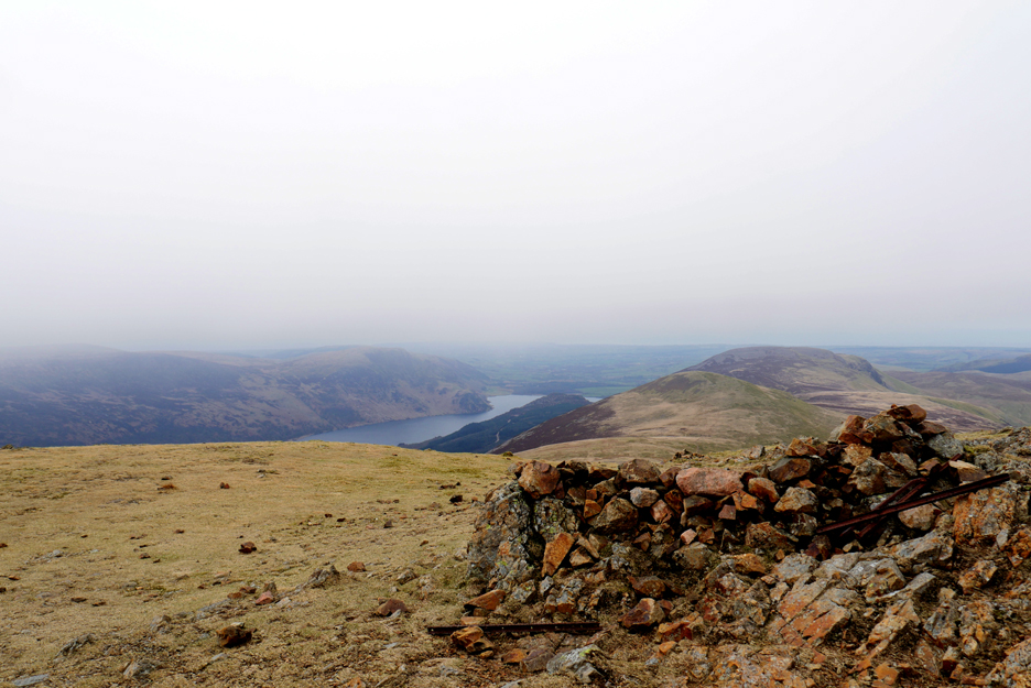
A hazy long distance view north across Crummock Water to the Solway Plain . . . no sign of Scotland.
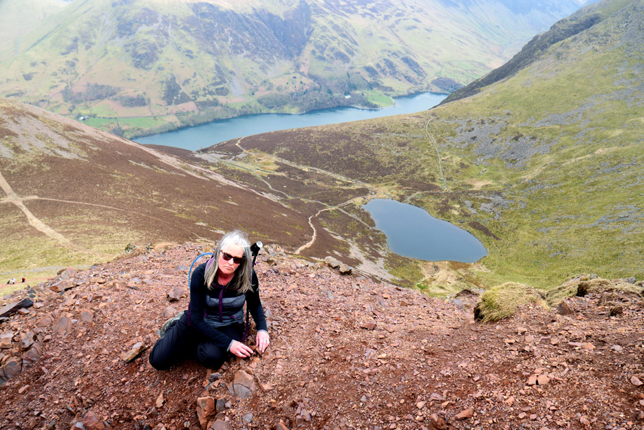
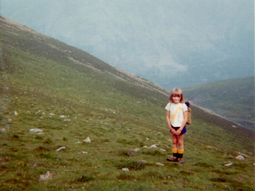
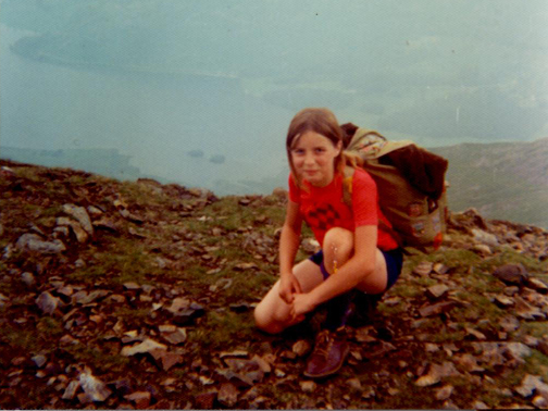
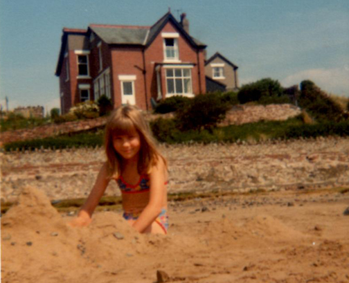
Paula wished to re-create a picture that Ann took some fourty five years ago, so sat on the edge and started building sand castles. I take it she really wanted to be on a beach in those days, rather than be climbing 'yet another fell'.
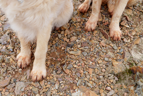
- - - o o o - - - Back to the present and to the first of several "incidents" that occurred on our High Stile walk today. Having hunched down to take that photo of Paula on the Red Pike path, I stood up but the stone I was propped against slid away. I ended up sliding rather dramatically downward, out of control and on my back, joining Paula on the path six feet below. Fortunately no great damage done, just a dent to my pride and perhaps to an elbow or two, and leaving a bit more stone and red gravel on the path below than there was a few minutes earlier! - - - o o o - - -
Summiting out on Red Pike, no damage done. Photo by a kind fellow walker.
Time for a little lunch now that the major climb has been completed.
however the summit cairn was not a good place to shelter from the cold easterly breeze, so we set off towards High Stile, hoping to find a more suitably protected place to stop.
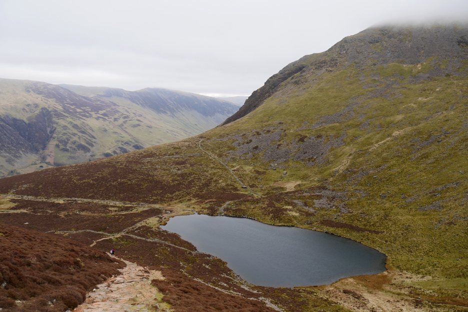
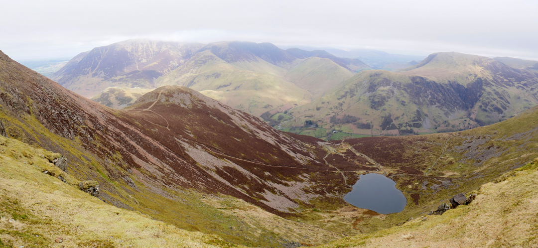
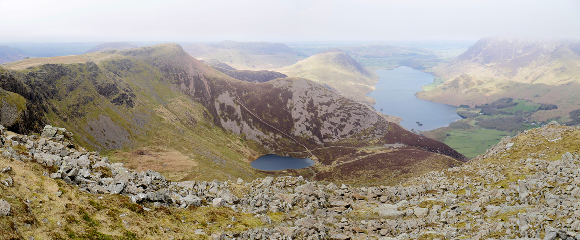
The path follows close to the edge so there are good views down to Bleaberry Tarn and the ascent route we used earlier.
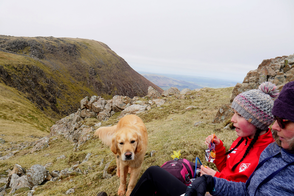
In the lee of the first of the High Stile crags we found protection from the wind and stopped for refreshments. Dougal was close at hand . . . ready and waiting for me to get out the dog biscuits !
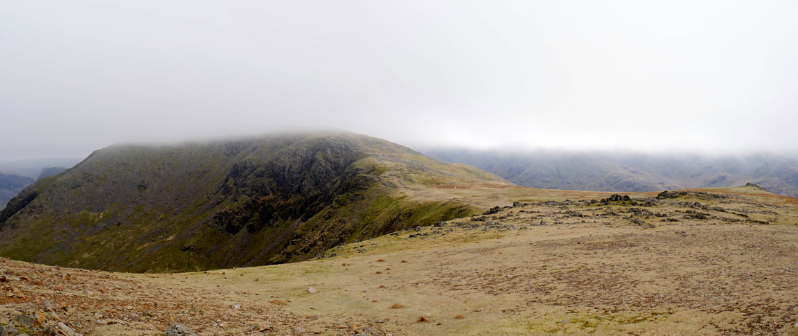
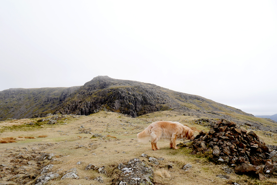
The lunch delay allowed the mistiness time to clear even more and the summit of High Stile ahead was now clear of cloud. No need of the cairns to guide our way across the open fell.
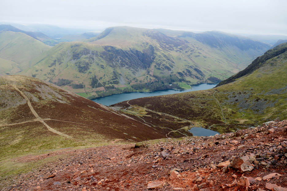
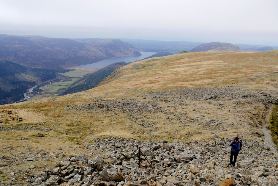
Looking back as Paula approaches the summit. Below us and out to the west is the Ennerdale Valley with the lake of the same name.
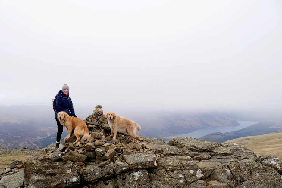
Abi claims what appears to be the second summit of the day . . . a cloud free High Stile.
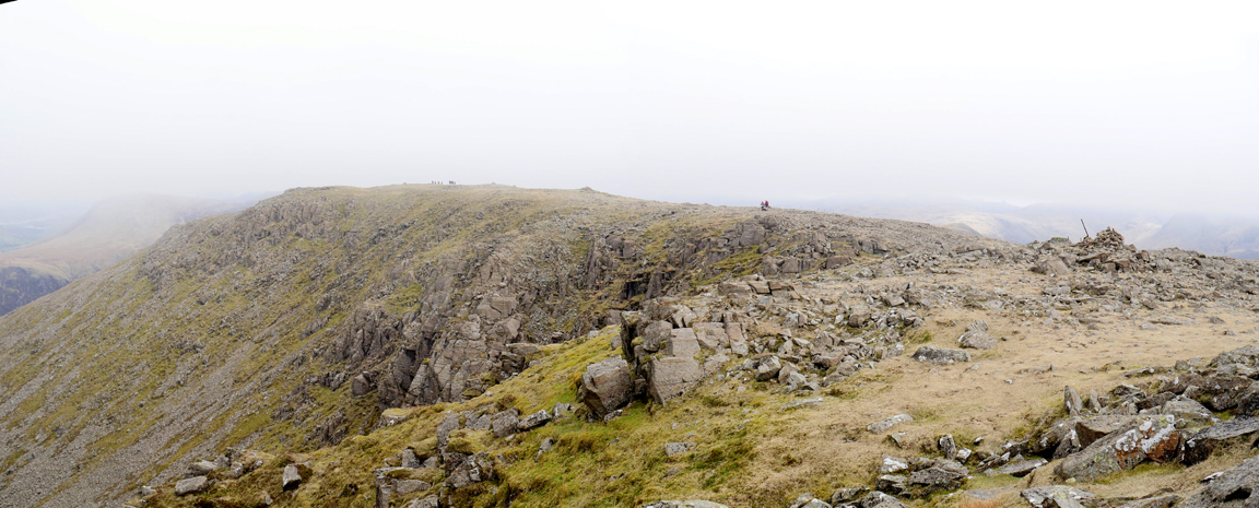
The flat summit of the fell has several cairns spread out across its top and according to the map the true summit, at one metre higher, is out there on the far end, close to that group of people in the distance.
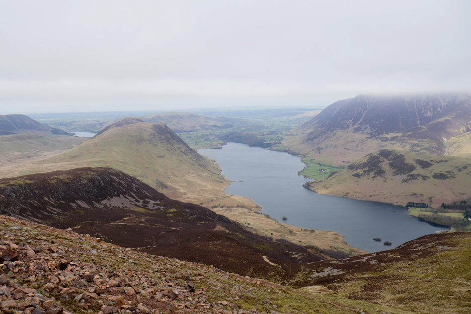
We make our way across the fell to the outer edge which overlooks the valley. Mellbreak and Rannerdale are staring to feel the warmth of some sunshine, which bodes well for the rest of the day.
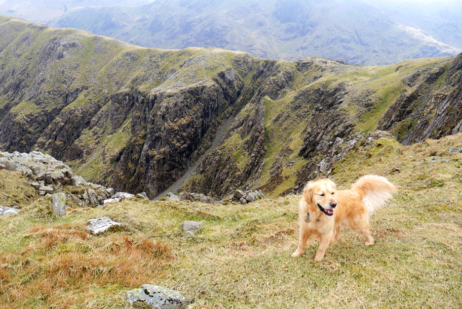
Dougal is enjoying the walk back from the summit, as our eyes are drawn once again to the crags ahead.
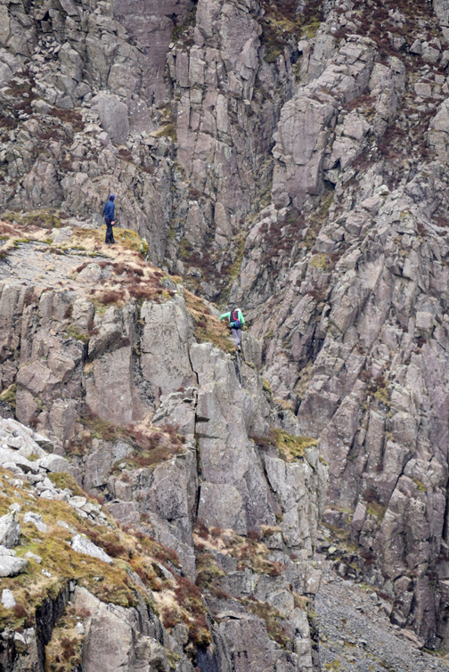
These are the famous Burtness Crags that line the back wall of the side valley of the same name. To the left is Eagle Crag and to the right of the gully is the vertical Comb Crags which are a classic Rock climbing location.
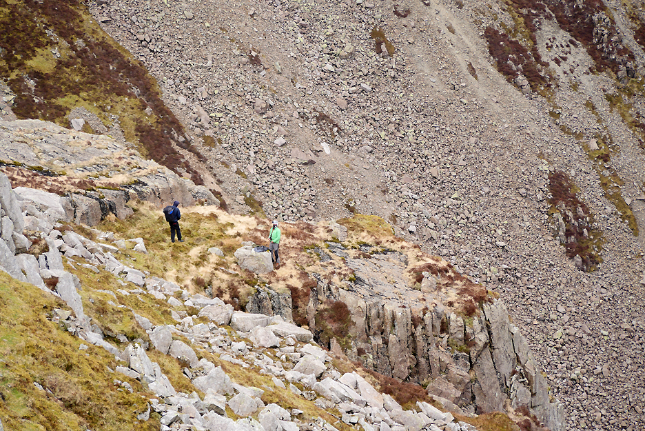
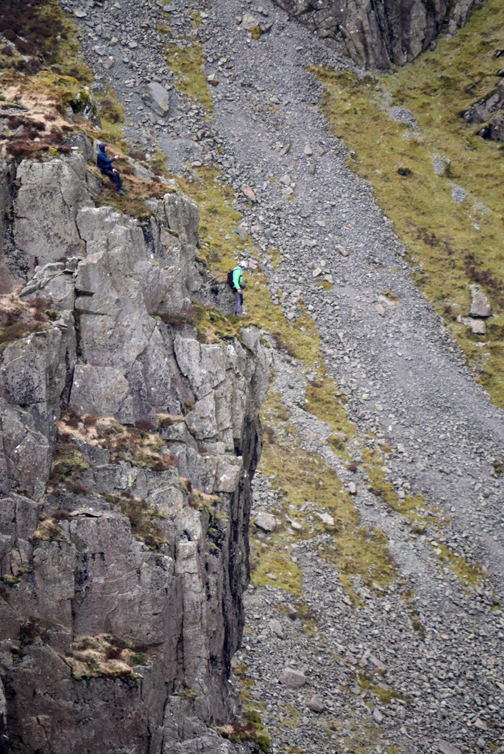
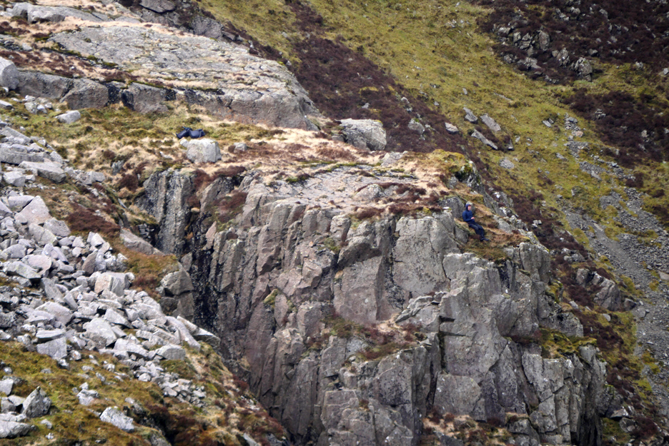
Two guys walk across to the crags . . . but they seem to have very little equipment for climbing.
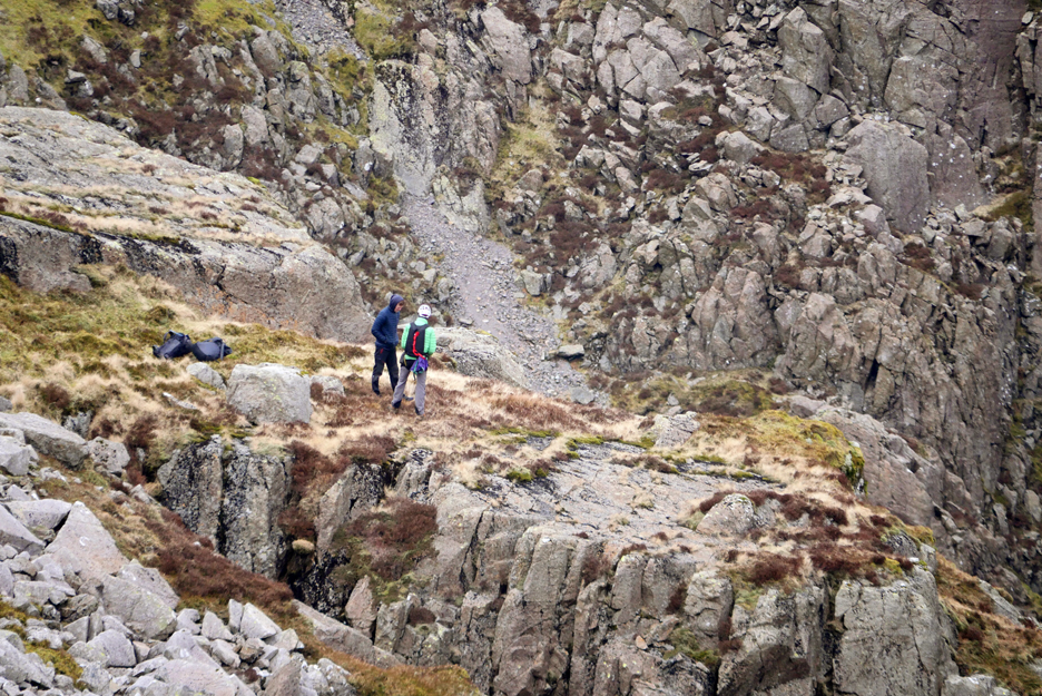
They drop some light bags and walk over to inspect the top of the crags.
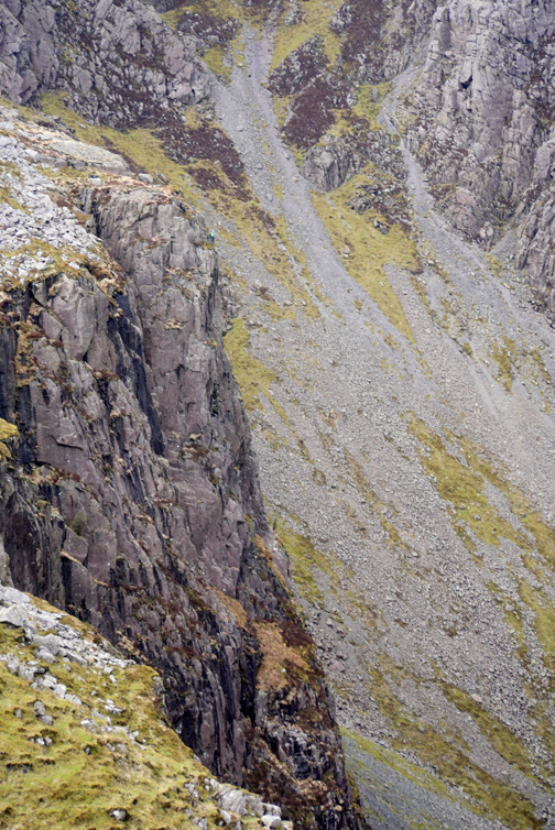
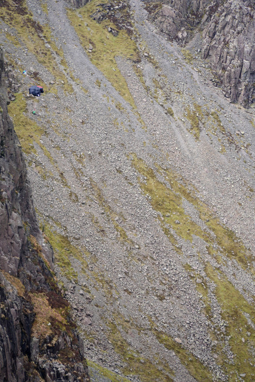
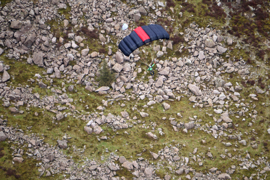
Thankfully he landed safely in the valley below.
Meanwhile his mate was still sitting nonchalantly at the top of the crags . . . oh well time to move on.
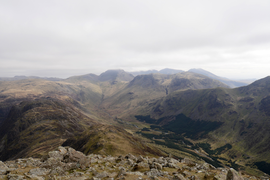
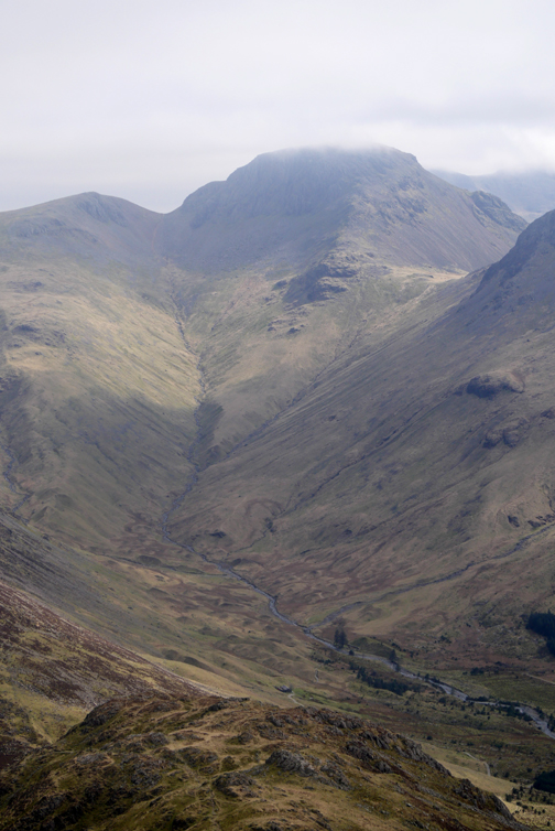
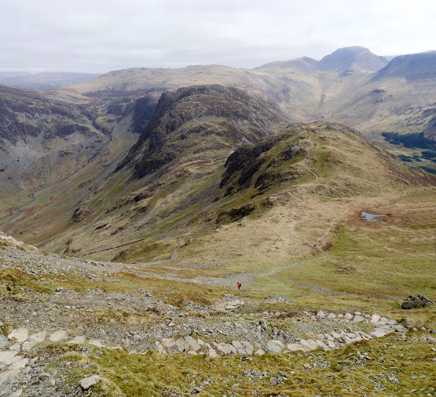
From High Crag summit the view ahead is of Kirk Fell, Great Gable and the distant Scafell range.
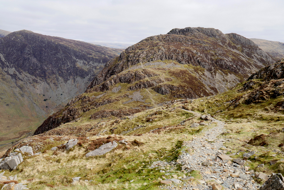
The zig-zag path develops into sweeping curves as the scree slopes to the left are neatly avoided.
Between us and Scarth Gap is the minor summit of Seat.
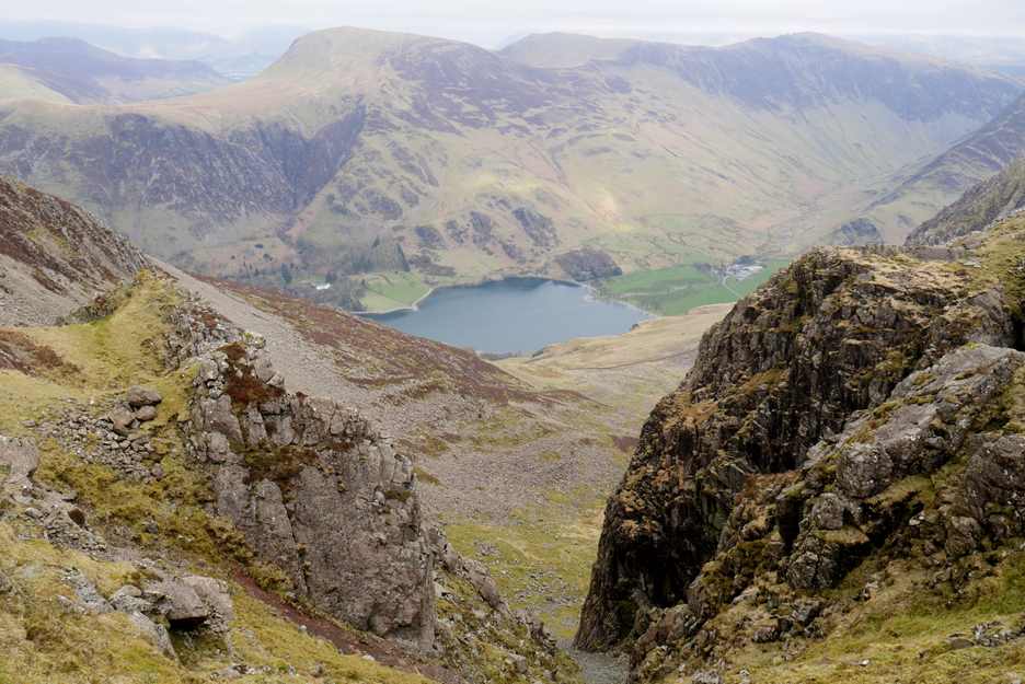
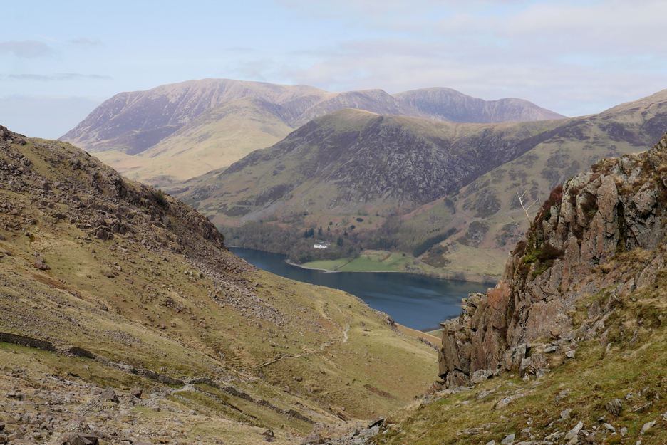
Time to turn left and head down towards Buttermere.
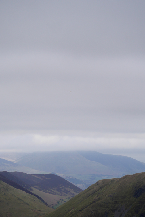
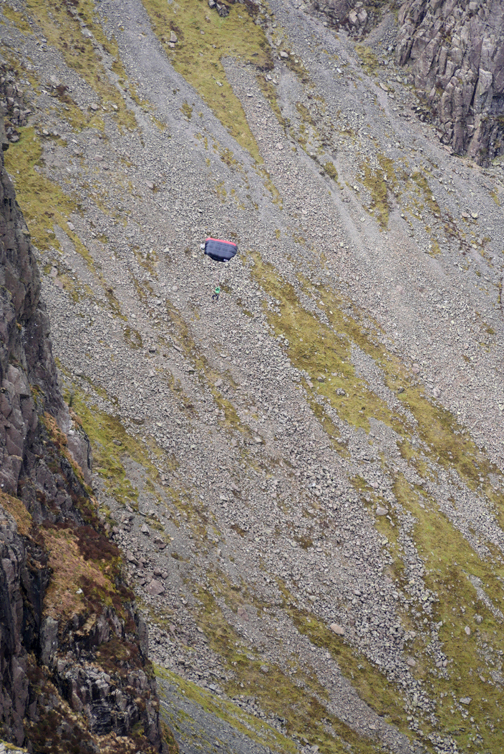
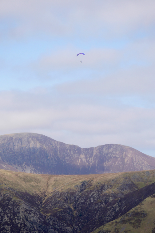
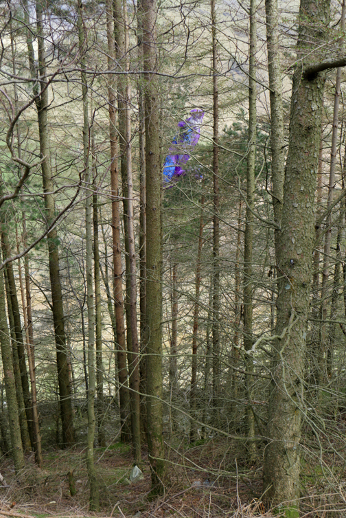
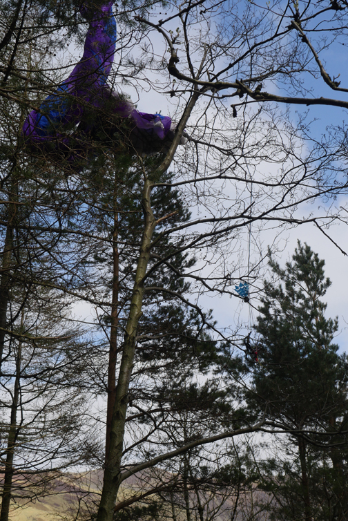
Fine views of Fleetwith Pike on our descent. Oh well . . . you think two incident on a walk would be enough . . . but no !! High above us a paraglider drifted happily across the valley some two thousand feet above the lake.
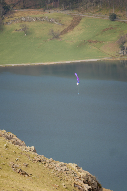
It fell to earth somewhere beyond the slope ahead.
We walked quickly down, not knowing what to expect. At the next break of slope we still couldn't see far enough to scan all of the valley.
He didn't land in the trees . . .
. . . and there was no sign of him in the lake or on the shoreline. Another couple of fellwalkers confirmed what we had seen and together we kept our eyes peeled.
I saw two people of the bridge below so went down to talk to them. Much to our relief they reported seeing a parachutist landing safely on the field behind them and then walking away towards the farm. Presumably the second guy we saw on the fells had had a problem when whilst flying, ditched his parachute and landed on his emergency second chute. Much relief all round.
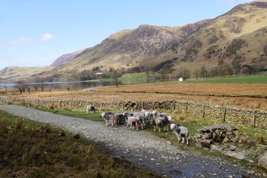
Colour marked Herdwick sheep, the different coloured ruddle paint being a guide to farmer as to the probable lambing date for each ewe.
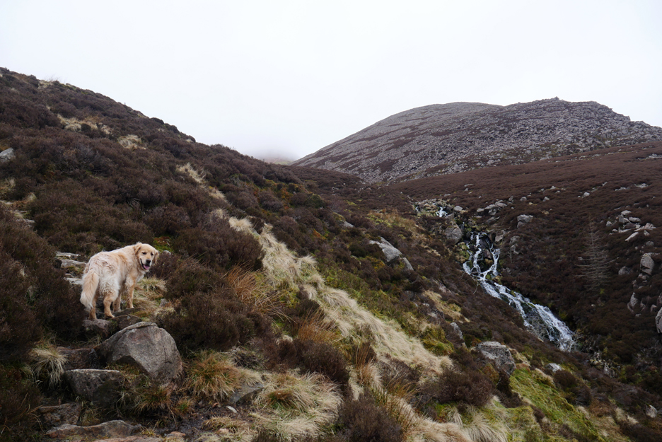
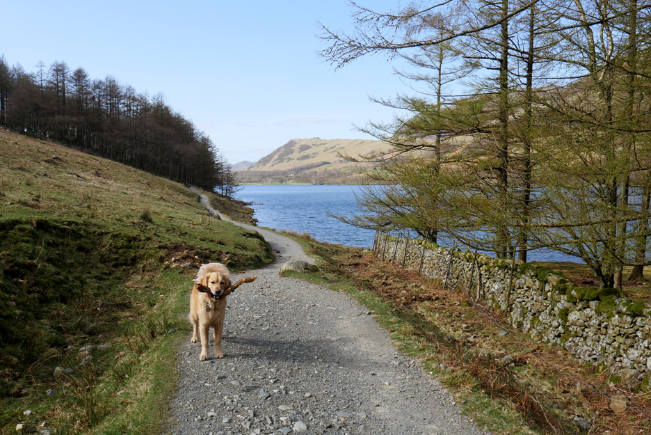
We head back on the track on the southern side of the lake. Dougal still has enough energy left to find and play with another stick.
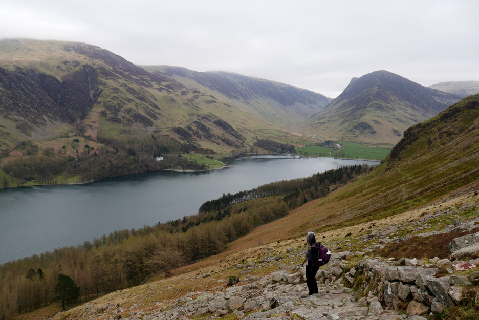
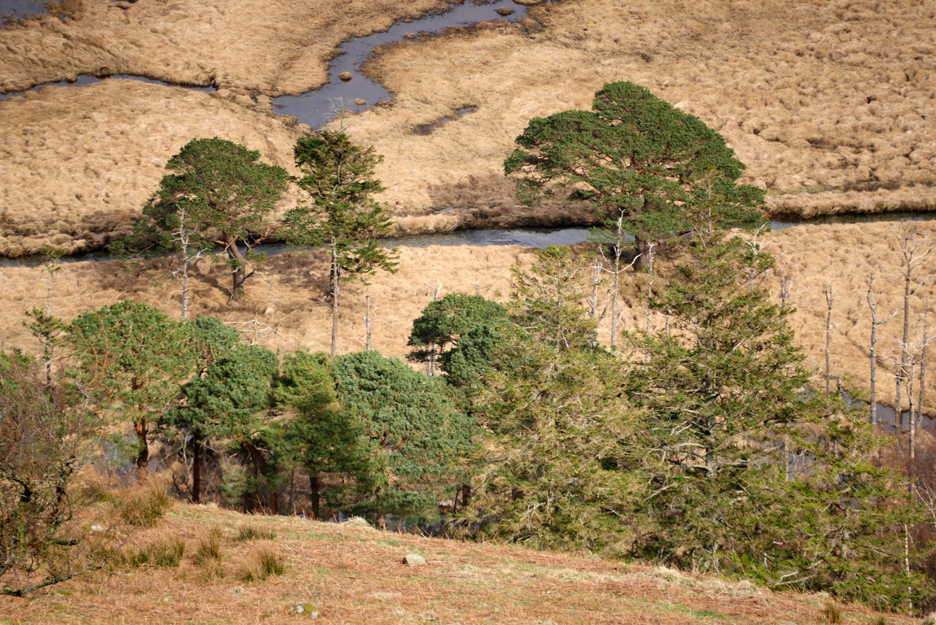
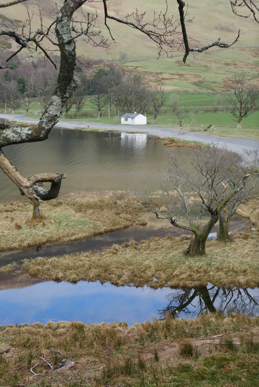
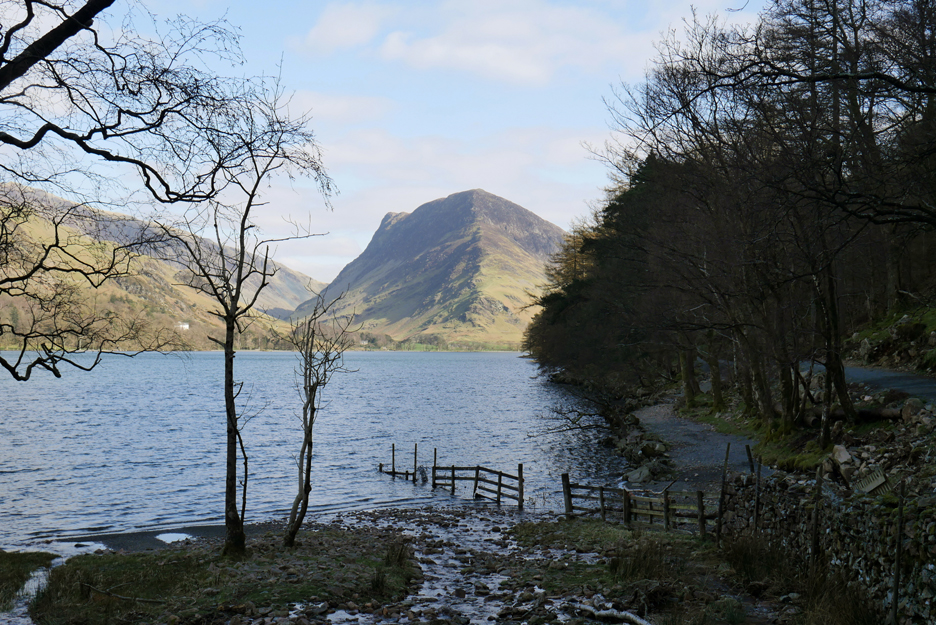
Looking back at Fleetwith Pike from just beyond the larch trees of Horse Close. This is where the Burtness Comb Beck enters the lake.
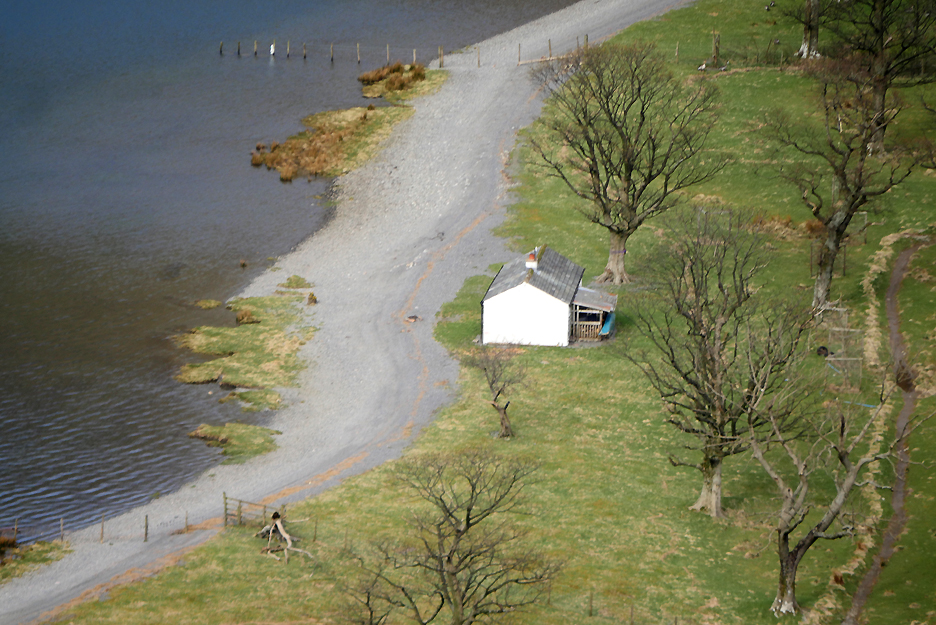
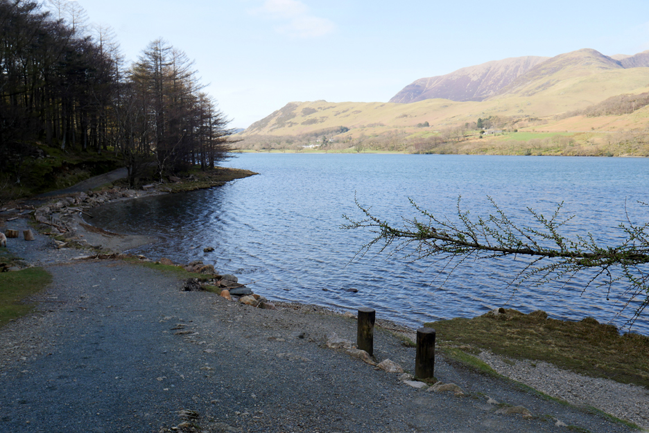
The bay a little further on where the path reaches down to lake level. The debris on the path ahead is actually extensive flotsam deposited there during recent high water levels in the lake.
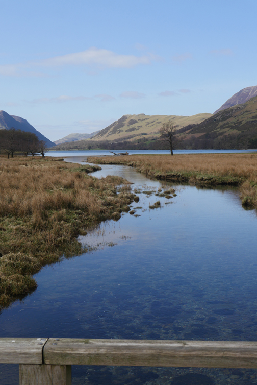
Completing the circuit . . . only this time we look up the lake towards Fleetwith Pike the weather is more sunshine than grey.
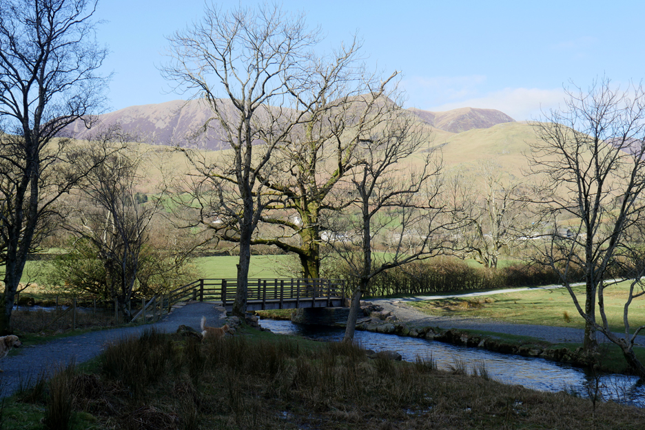
Back across Dubs Bridge at the foot of Buttermere.
It has turned into a delightfully sunny day . . . quite a contrast from our cold lunchtime experience up on the high fells. At the end of the walk I really fancy a pint of something or perhaps a pot of tea, but everything will be closed.
|
|
Technical note: Pictures generally taken with my Panasonic Lumix Gx8 Camera. Resized in Photoshop, and built up on a Dreamweaver web builder. This site best viewed with . . . a welcoming cup of tea at the end of the walk. Go to Home Page . . . © RmH . . . Email me here Previous walk - 30th March - Route-66 to Sale Fell A previous time up here - 4th May 2008 High Stile Ridge with Jen and Jen Next walk - 2nd April - Great Gable on a Great Day
|