![]()
Remember: Press F11 for a full
screen view of this page.
Web Counter when published 1 858 123
|
|
|
|
Remember: Press F11 for a full
screen view of this page. |
Web Counter when published 1 858 123 |
|
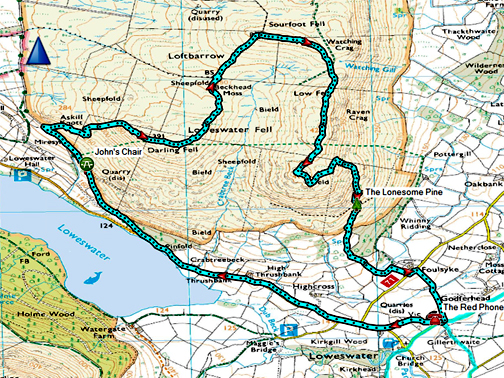
" Darling Fell with Paula and Abi " Date & start time: 1st February 2021. 1 pm start. Location of Start : By the red phone box, Loweswater, Cumbria, Uk. ( NY 143 211 ) Places visited : Old Mosser Road, Darling Fell, Sourfoot Fell, Low Fell and home. Walk details : 5.3 mls, 1500 ft of ascent, 3 hours 5 mins. Highest point : Low Fell, 1374 ft - 423 m. Walked with : Myself and the dogs, Dylan and Dougal. Weather : Overcast but fine, sunshine and real shadows. |
© Crown copyright. All rights reserved. Licence number PU 100034184. |
|
A second walk out with my daughter and Granddaughter this week. Abi's school had a "parents Evening" held through the medium of Zoom (on the computer) but as they found it generally slower, they started 'conversations' with parents during the afternoon. Consequently Abi is having a "half day" off schooling . . . she's free from midday ! An early lunch found then us out walking familiar fells via an unfamiliar route.
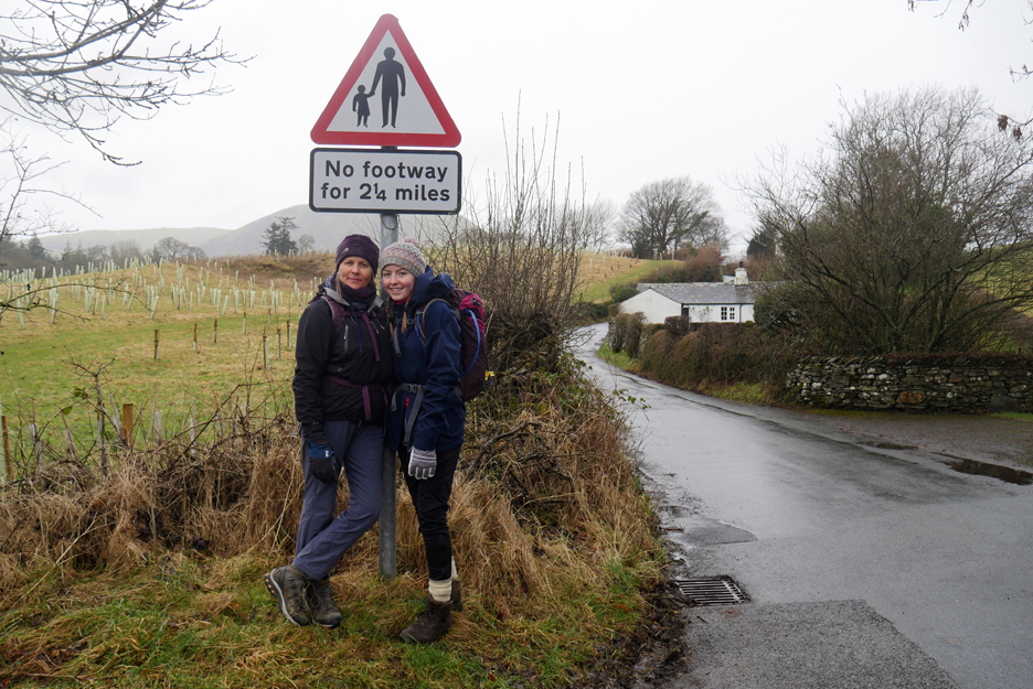
We wouldn't walk all that distance without pavements, only the first mile or so, till we turned up onto the fell road. Thinking about it, there's no pavements for miles anyway . . . where the two and a quarter comes from I've no idea !
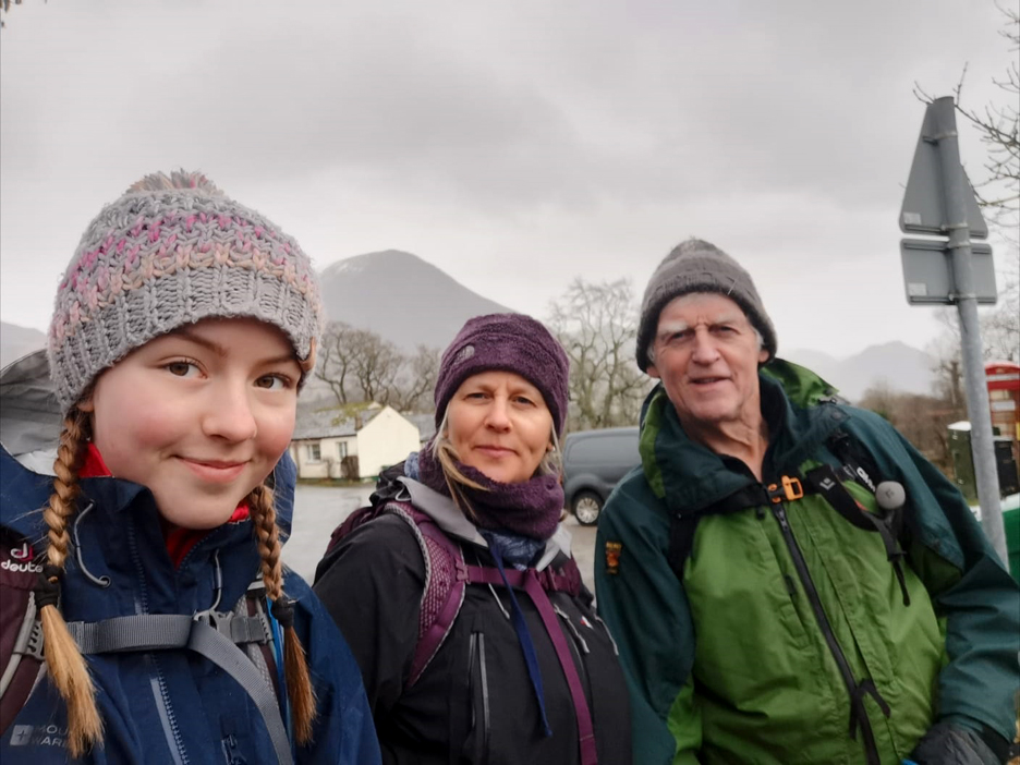
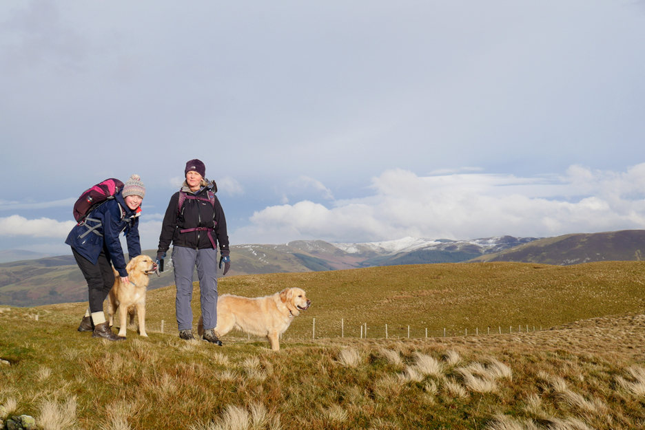
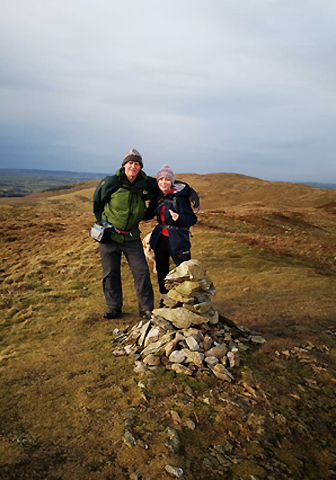
Group photo . . . kids are so much better at "selfies".
Well the actual weather wasn't as good as forecasted but no matter, we were going out whatever the the situation. This is the Village Hall at the top of the road, the two story part used to be the old school with the teacher's house above. There are still a few locals about who remember attending the school, which closed in the late 1940's The new hall and kitchens etc. make up the ground floor and the flat above is now lived in by the hall caretakers.
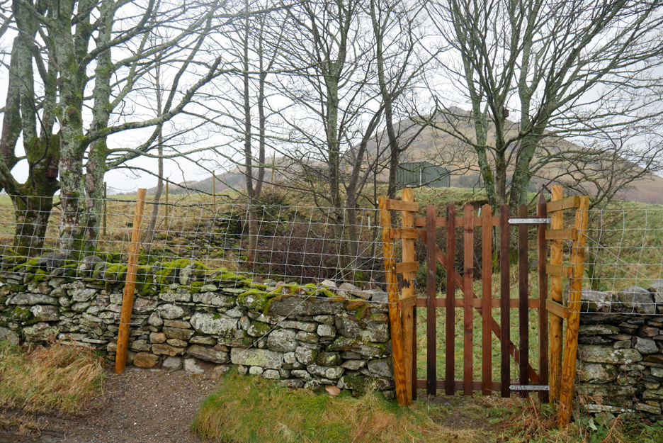
To my right as I took the hall photo is a small quarry, probably dug to provide stone for local buildings such as the School House. The quarry was the site of the pre-war wooden Village Hall and a few foundation stones can still be discovered in the undergrowth or they could before the new gate was fitted.
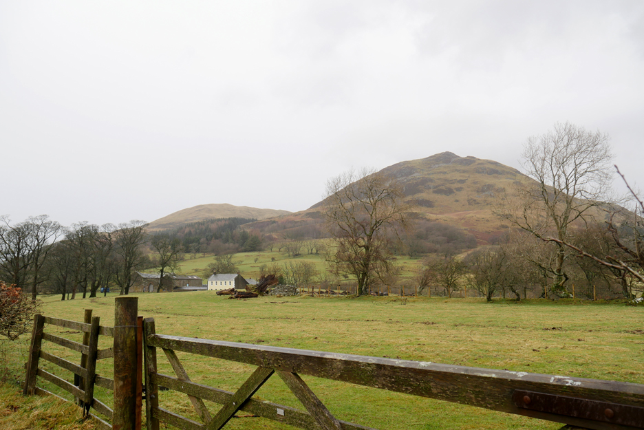
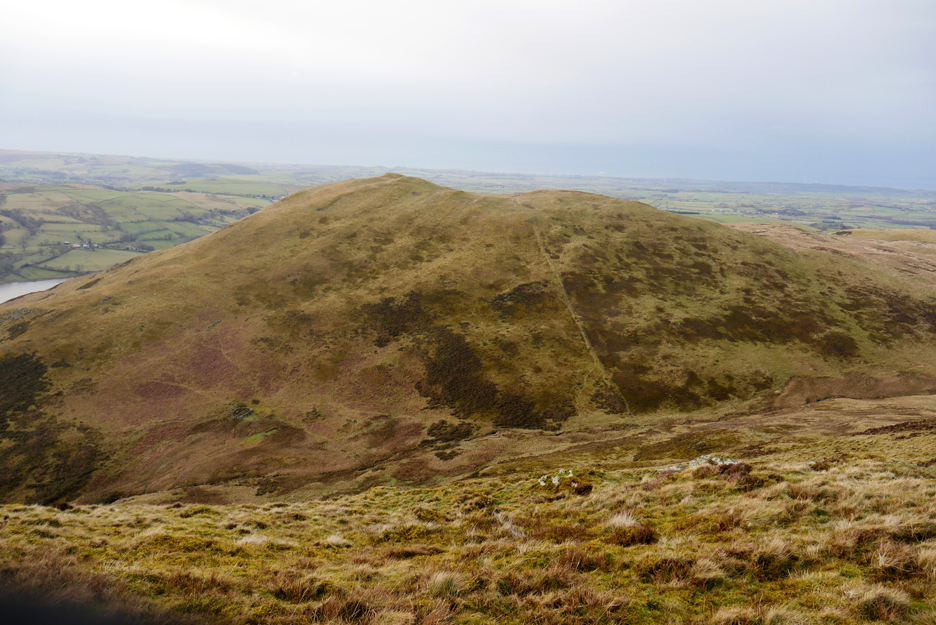
Ahead is Darling Fell, the second of the two summits seen here. The plan is to walk to the old Mosser Road then ascend the left hand skyline onto the summit. After that there's no great plans.
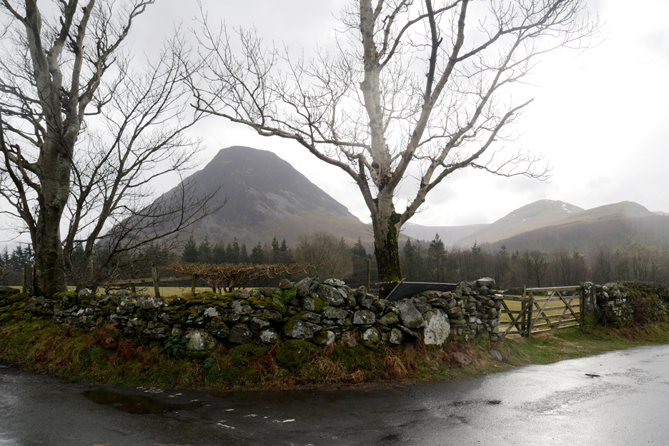
Mellbreak framed by the trees at the road junction to Maggie's Bridge.
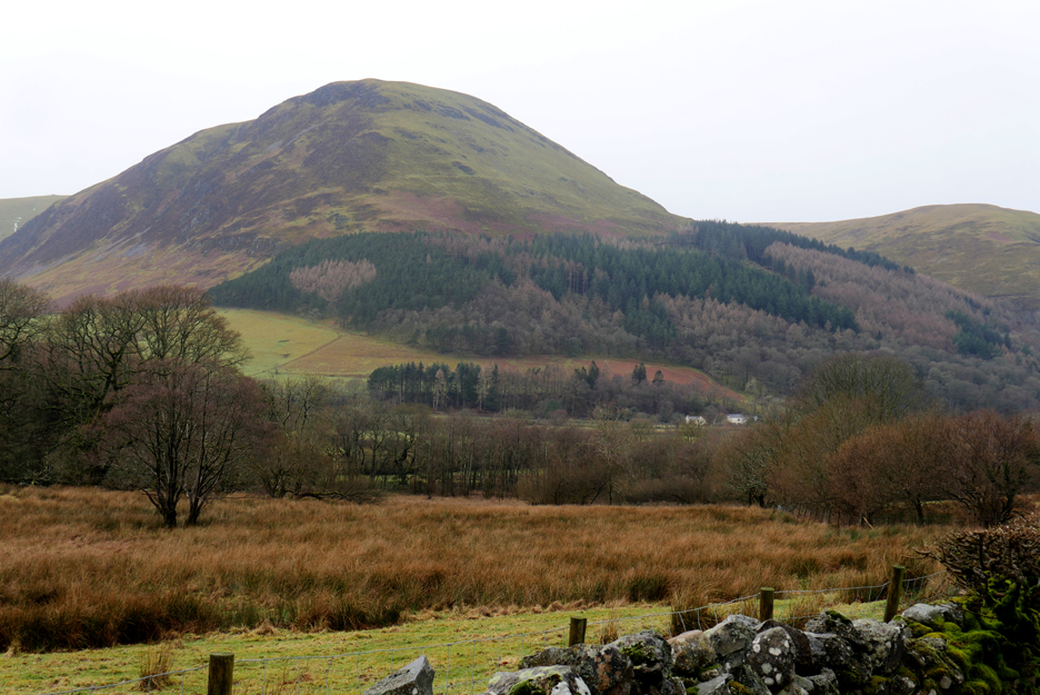
The Loweswater Pheasant from the same junction. The fell behind is Carling Knott strangely, like Darling Fell, not one of Wainwright's 214 noteable summits.
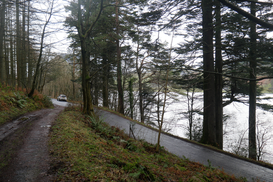
Starting along the Old Mosser Road, leaving the lake and the main road behind .
The old road is still impassable to cars (further up) but over time many of the potholes seem to be filling themselves in with water washed gravel and leaves.
The western end of Loweswater now below us as we leave the trees and walk up the more open track.
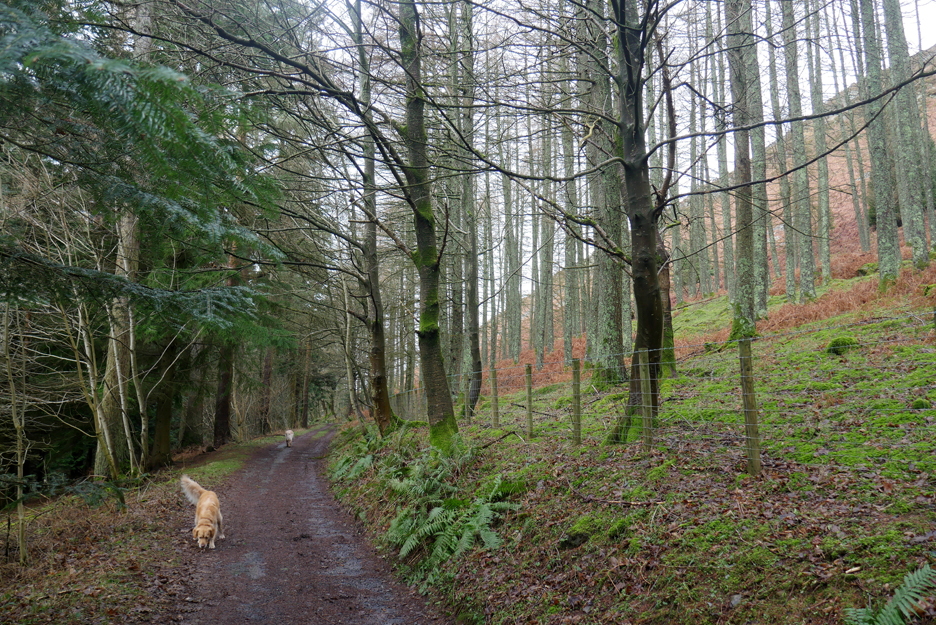
Ancient Scots Pines line the track above the old Myresyke Farm.
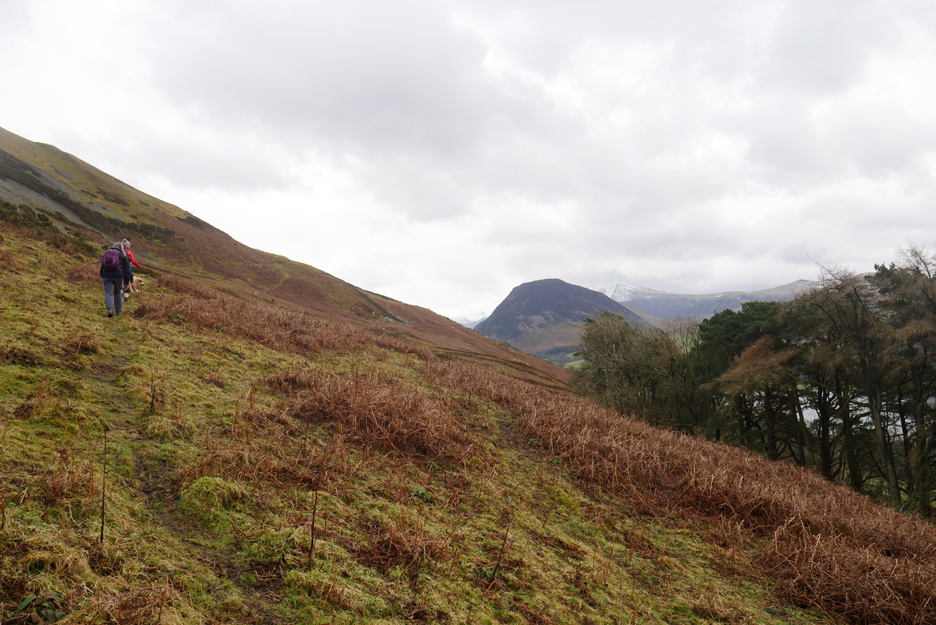
We've headed out onto the fell on a path from the old gate. We meant to turn by the signpost and steps further back along the track but we were too busy talking and missed the path !
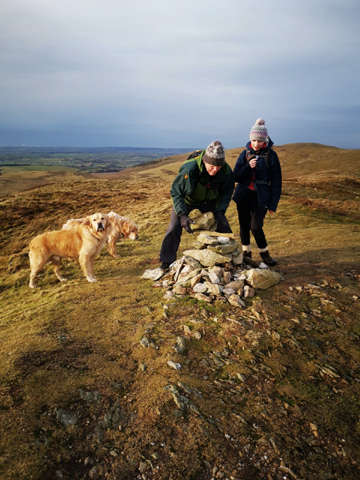
Abi sits on the true summit of Darling Fell. There's no cairn here, that's on the next little rise you can see ahead, I think because it's a better viewpoint.
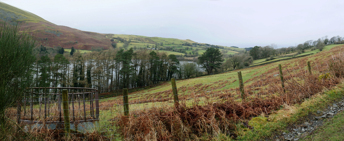
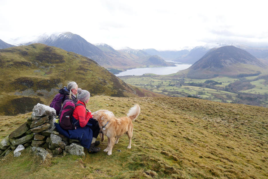
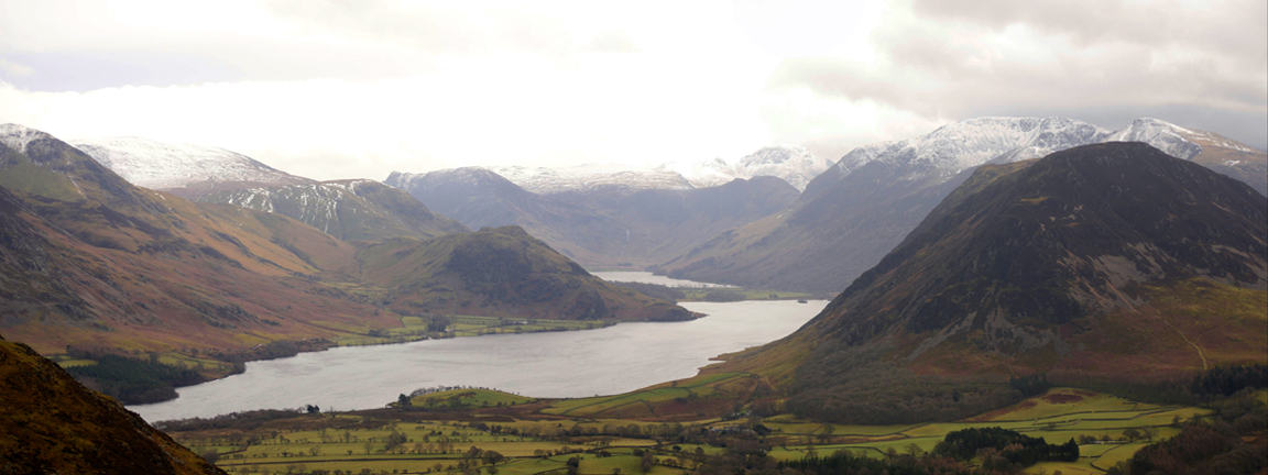
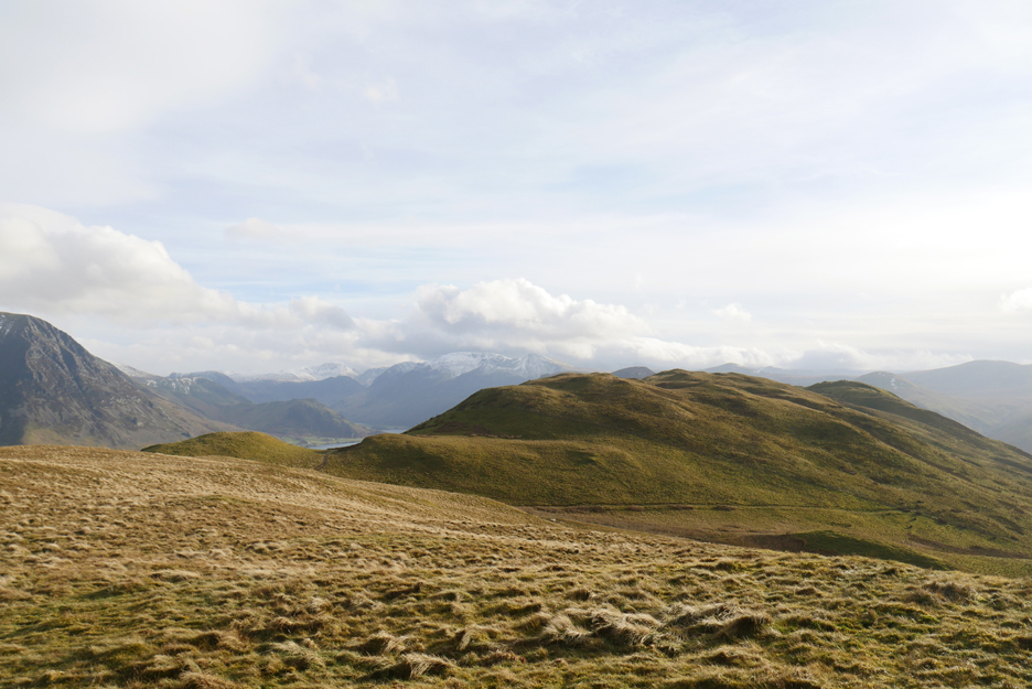
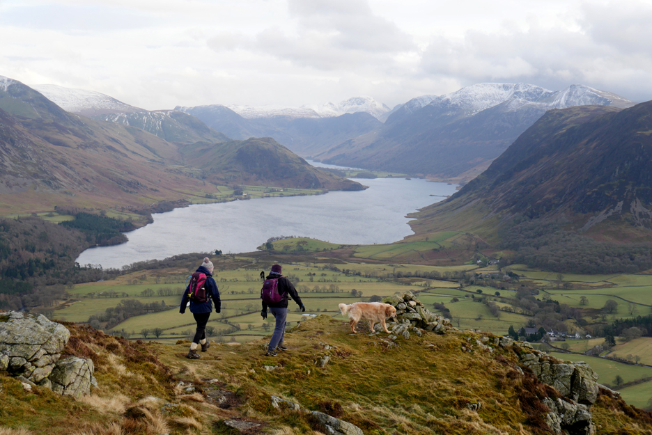
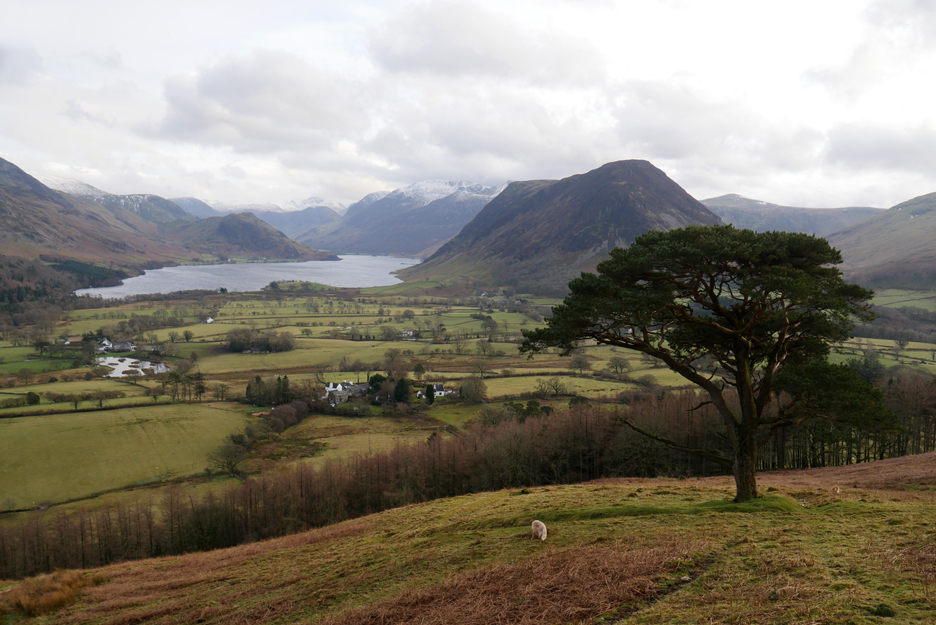
Looking down the length of Crummock and the Buttermere Valley from the cairn.
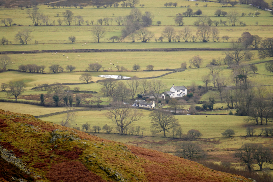
" You can see our house from here Abi " You can see Puffin Tarn in the field too, full of water once again after the recent rain.
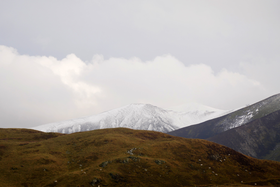
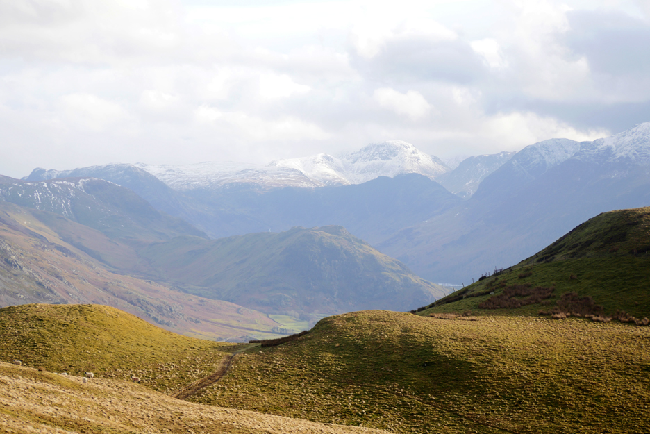
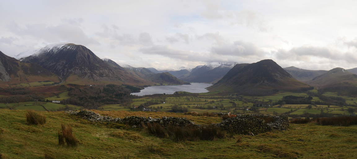
Zooming in in a panoramic sort of way. The high fells still have a good covering of snow despite not having any on the valley floor since those glorious days in mid January.
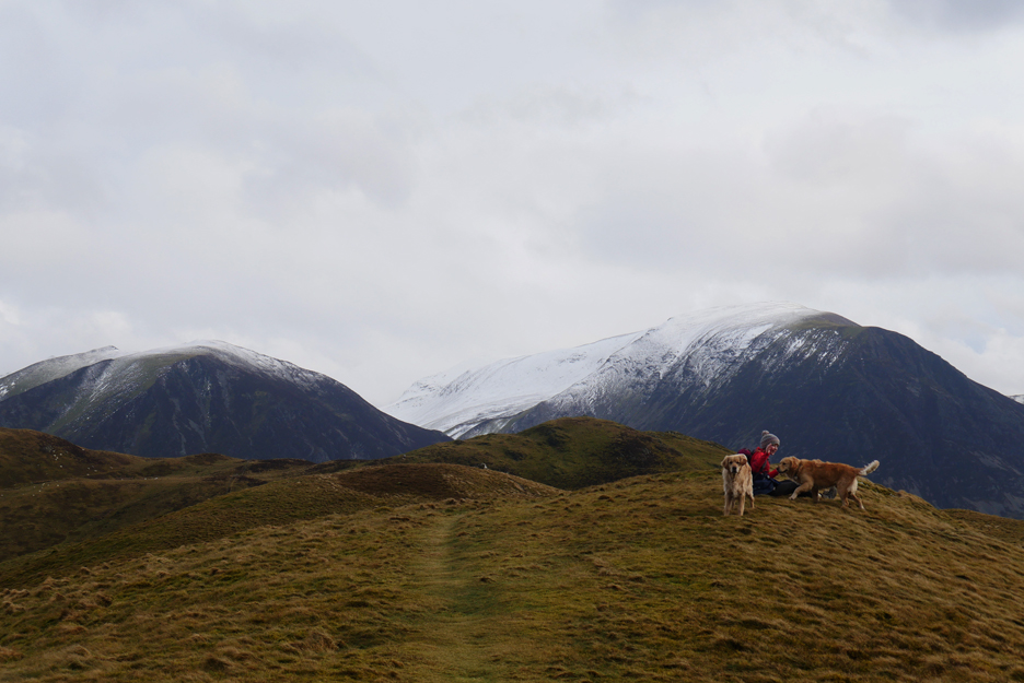
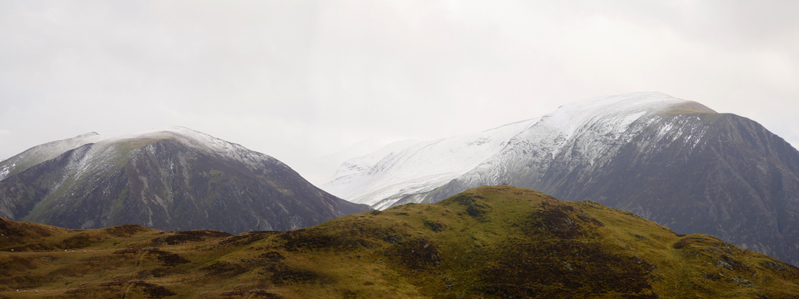
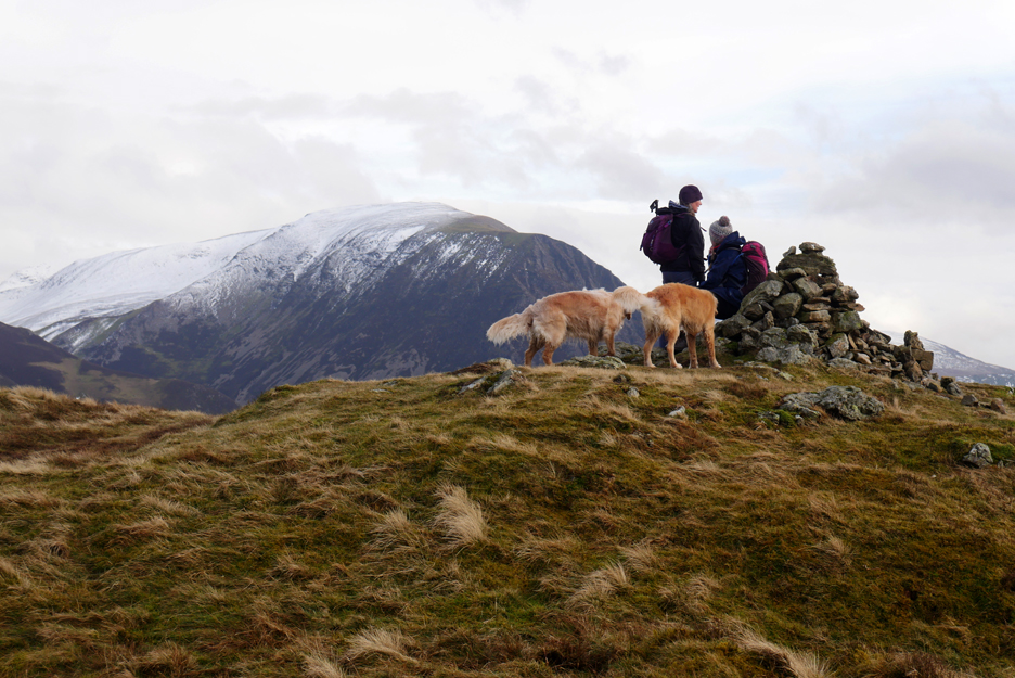
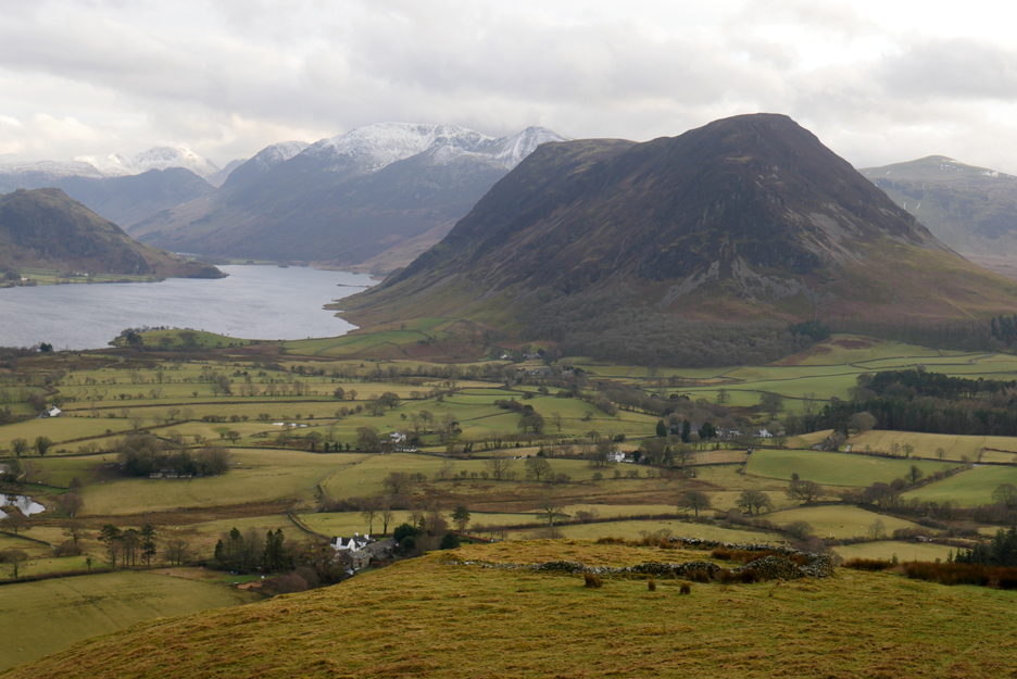
Looking over the summit of Low Fell to the Gasgale Valley, snow covered Whiteside and Grasmoor on either flank.
Zooming in on Grisedale Pike and Hobcarton Crags, both well covered in a seasonal mantle of snow.
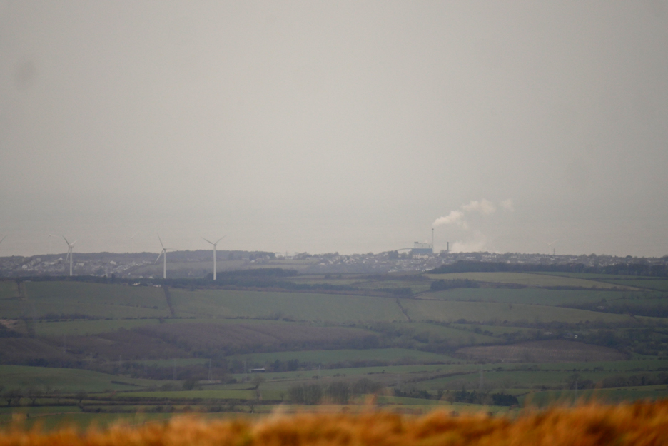
Looking across to the Solway, the sea and the sky blending together in these slightly misty conditions. The three wind turbines are producing electricity for the local grid, the factory on the shoreline is Iggesund Paper Mill producing cardboard and paper using green bio-mass power within their production plant at Workington.
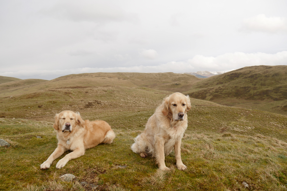
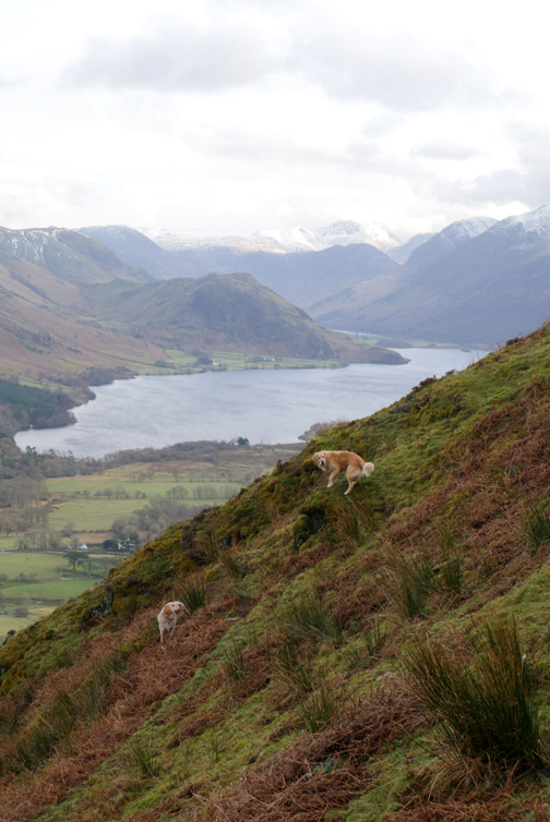
The picture of Dougal and Dylan does also serve to outline our route ahead. Rather than walk all the way to Fellbarrow away to the left, or do the steep down and up directly to Low Fell to the right we'll do a circuit up to the broad, flat topped Sourfoot Fell ahead and then round the Beckhead Moss to reach the Low Fell summit. Happy with that dogs ? . . . well at least you could smile !
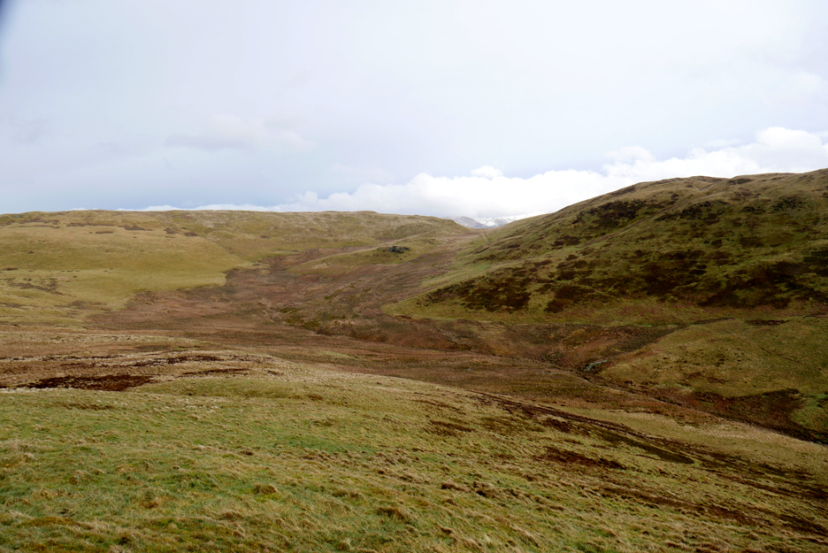
The damp ground of Beckhead moss is shown by the darker vegetation. Can you see and old (grey) wall down near the stream . . .
This may be all that remains of the dam wall from the reservoir that held back water for powering the waterwheel at the Loweswater Mines. On the13th July 1828 the dam burst and sent a cascade of water down the beck, crashing into the farm below and sweeping two people to their deaths. A fuller account of the story can be found in the second half of the Derwent Fells History Society Journal No.56 (There's even an old picture of mine featured in the report)
Beckhead Moss, this time looking back at our route across from Darling Fell.
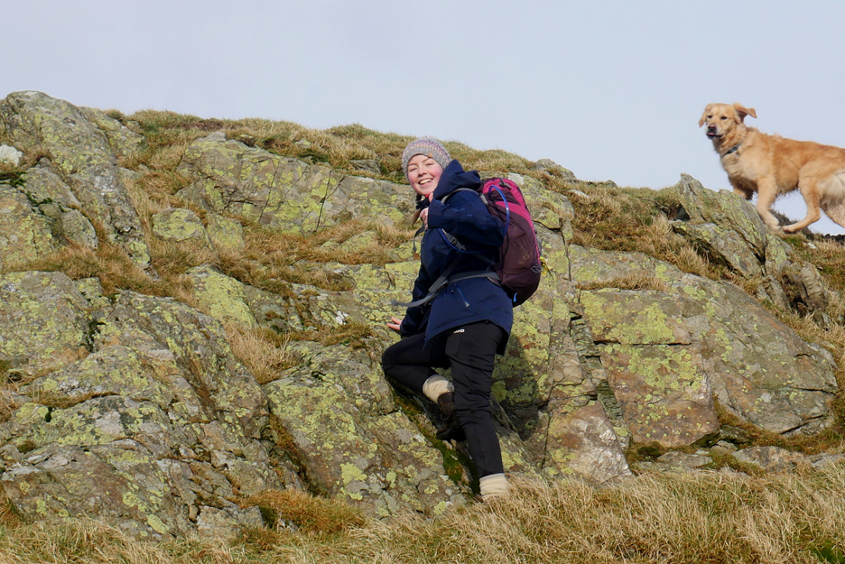
Sourfoot fell is a grassy summit . . . with just one section of steep rock near the summit. To be fair, walk ten feet either way and the grassy ascent is easier, it just doesn't make such an impressive photo !
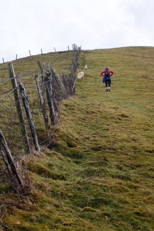
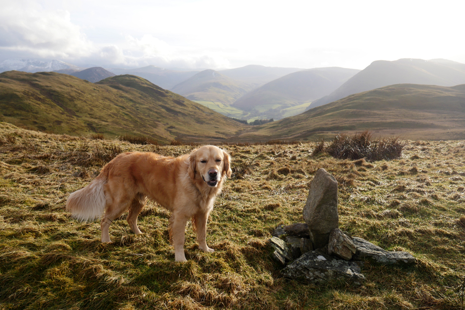
A boundary stone on the summit marks the dividing line between to local Parishes.
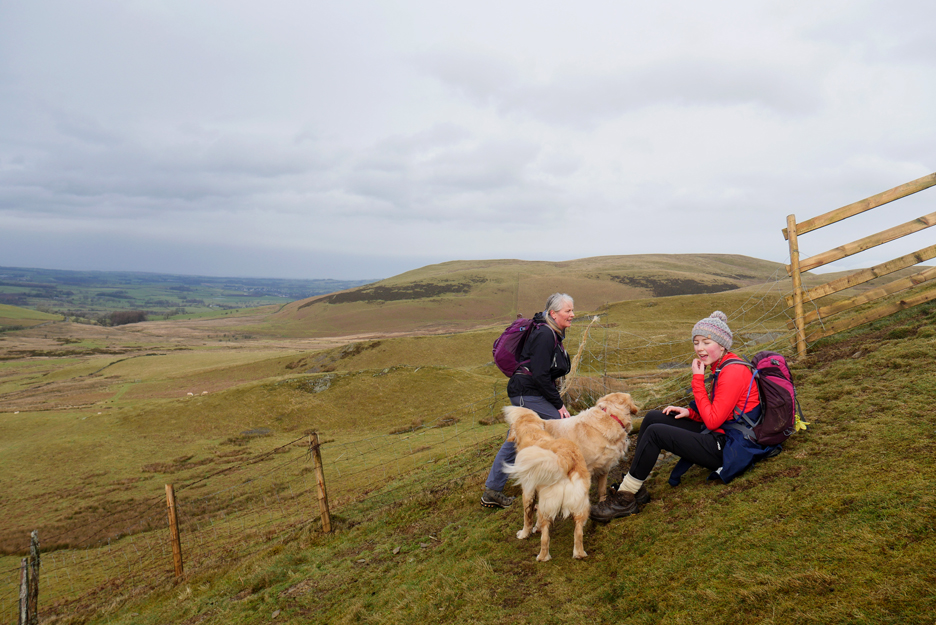
My walking companions . . . with Lords seat under snow in the background.
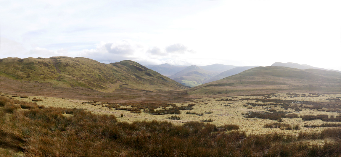
A level walk along Sourfoot brought us ever closer to Low Fell.
We're aiming to join the path ahead as it winds its way along the undulating ridge. Away in the distance and under snow are Brandreth, Green Gable and Great Gable.
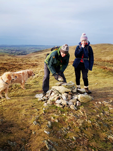
No such problem for the cairn at the southern end of the fell.
Time to look around and eyes are drawn to Darling Fell once more. We could have walked down the opposite fence line and back up this side but that would have been hard work.
There's another cairn down at the viewpoint on this end of the ridge.
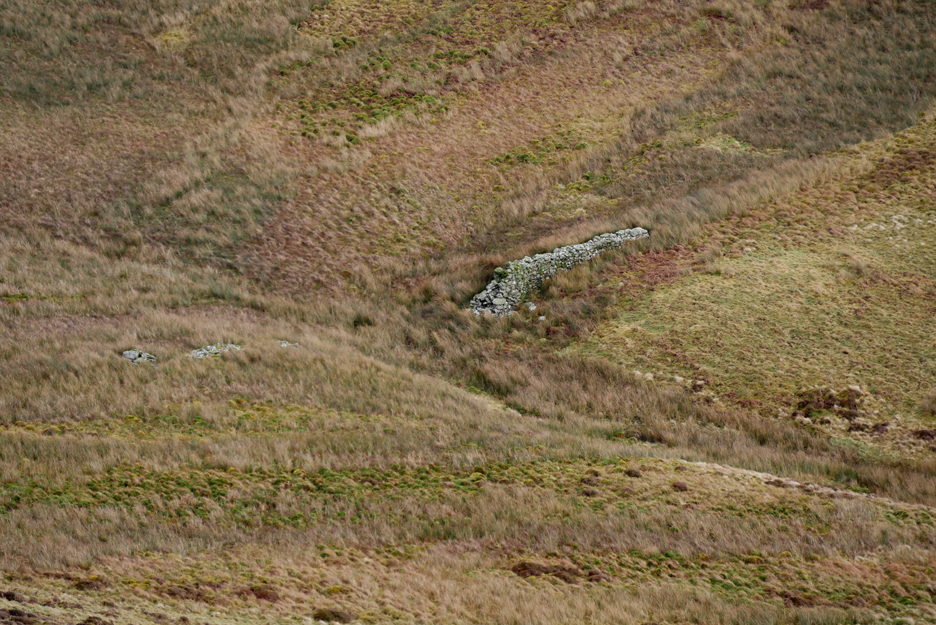
Below us, on a flatter spur that juts out slightly from the side of the fell, is an ancient round sheepfold.
The shape is still clear but some of the walls are in a poor state of collapse, their stones hidden under the grass. To restore it to its former glory would make a lovely project . . . for a younger man to undertake !
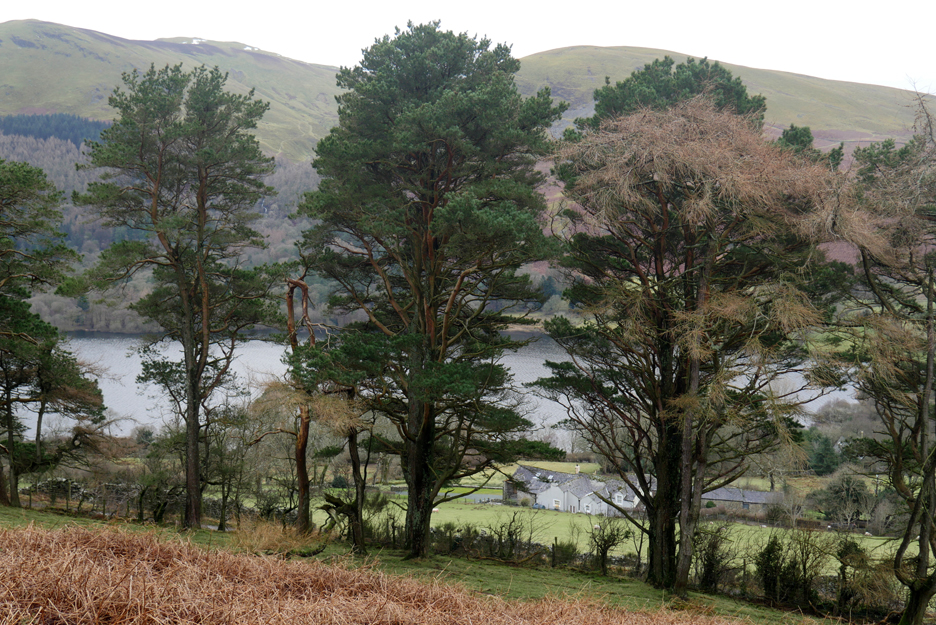
Continuing on down from the sheepfold and we reach the familiar old pine.
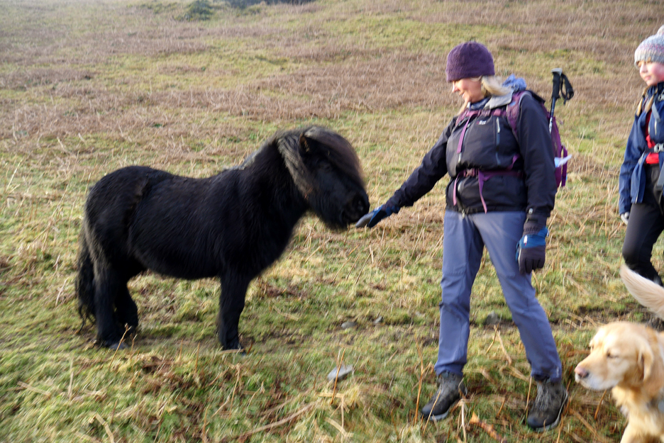
Today the two ponies were out on the fell, hopeful about the prospect of receiving a tasty treat. Sorry guys, only grass on offer !
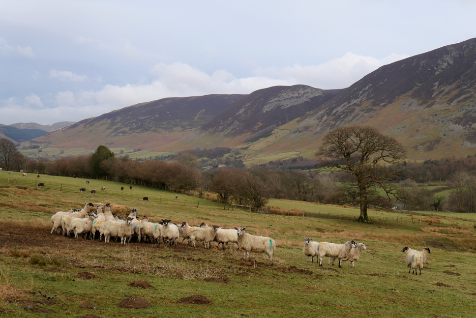
Extra grass in the form of summer silage is what the sheep need at this time of year due to the fact that as a result of the winter temperatures and the shorter days, the grass down here in the intake field is not growing fast enough.
- - - o o o - - - |
|
Technical note: Pictures generally taken with my Panasonic Lumix Gx8 Camera. Resized in Photoshop, and built up on a Dreamweaver web builder This site best viewed with . . .Wi-fi in the pods for school lessons during covid. Go to Home Page . . . © RmH . . . Email me here Previous walk - 2nd February - Buttermere with Paula & Abi A previous time up here - 11th August 2011 Low Fell with Neil Next walk - 10th February - Pure Whiteside with Martin
|