![]()
Remember: Press F11 for a full
screen view of this page.
Web Counter when published 1 855 780
|
|
|
|
Remember: Press F11 for a full
screen view of this page. |
Web Counter when published 1 855 780 |
|
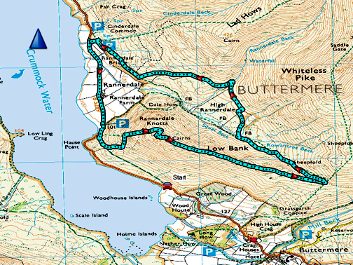
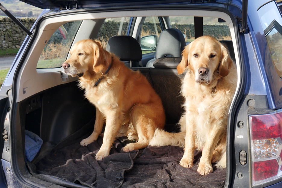
" Rannerdale Knotts with Jane " Date & start time: 30th January 2021. 11 am start. Location of Start : Cinderdale 2nd car park, Crummock, Cumbria, Uk. ( NY 162 193) Places visited : Cinderdale, Hause Point, Rannerdale Knotts, Low Bank, Rannerdale Valley. Walk details : 4 mls, 900 ft of ascent, 3 hours. Highest point : Rannerdale Knotts, 1,160ft - 355m. Walked with : Jane and the dogs, Dylan and Dougal. Weather : Overcast with sunny periods, cold easterly wind, very strong at times. |
© Crown copyright. All rights reserved. Licence number PU 100034184. |
|
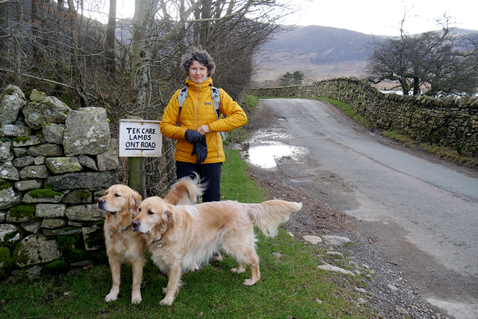
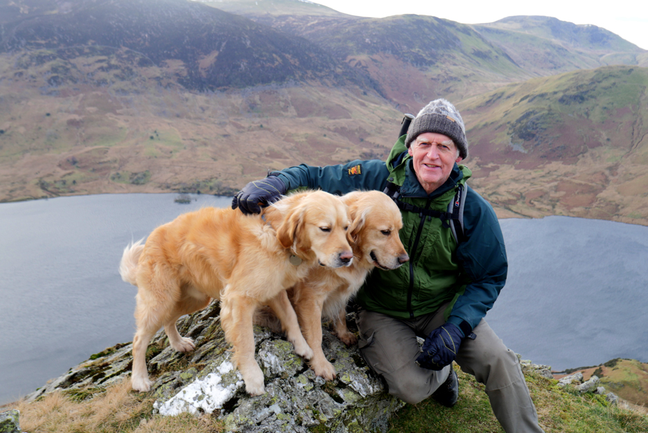
I've been retired from George Fishers some time now but delightfully I'm still in touch with ex-colleagues. Jane, who had been furloughed last year has also decided to retire and so is able to enjoy a few more walks herself. To that end she contacted me and together we decided on an outing to Rannerdale Knotts, a place I haven't visited for what turns out to be a surprising sixteen months.
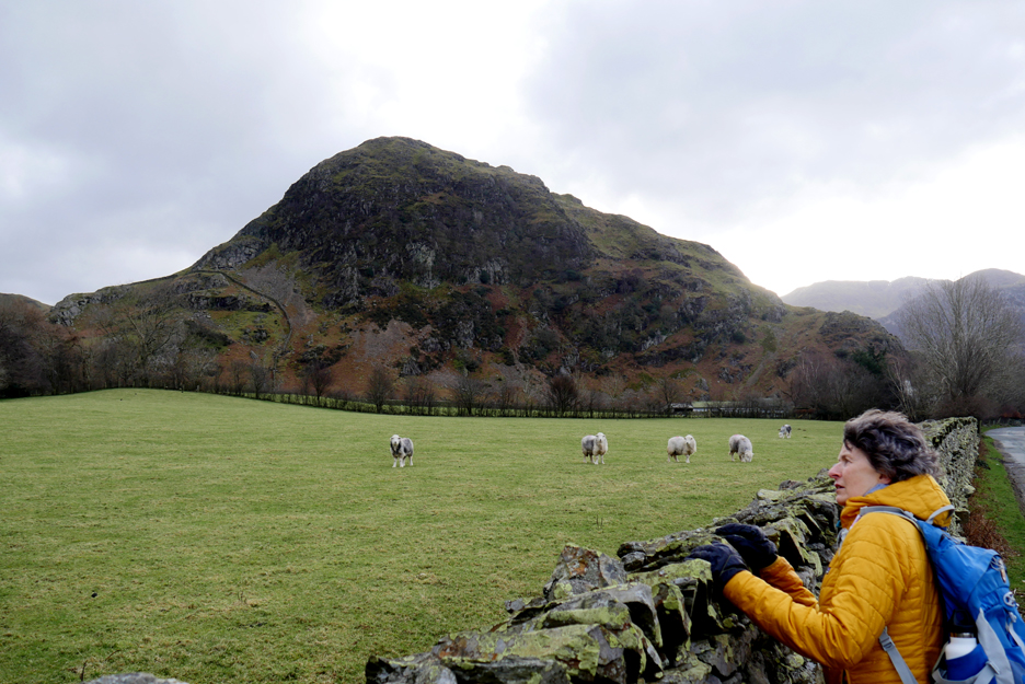
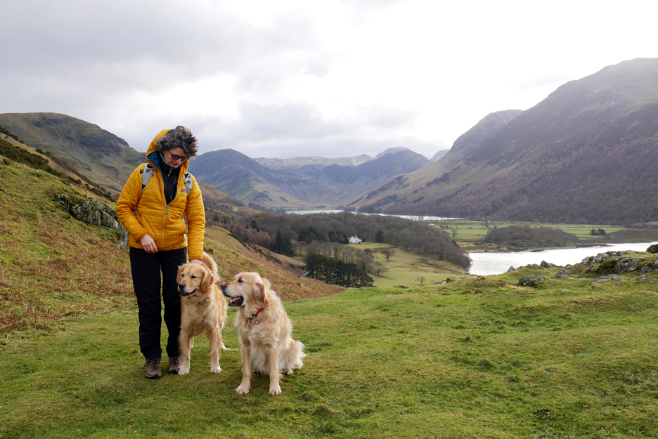
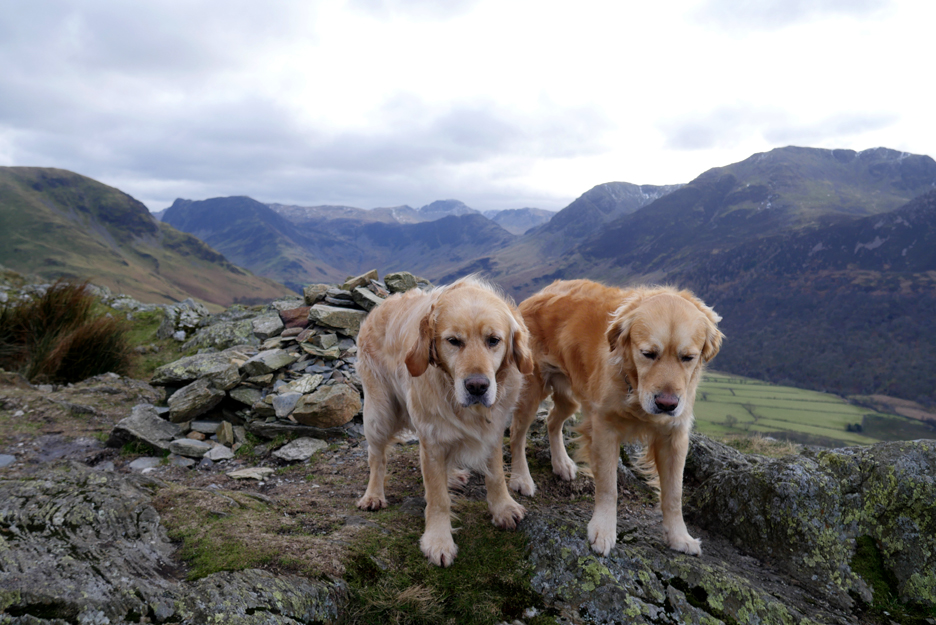
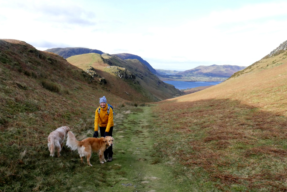
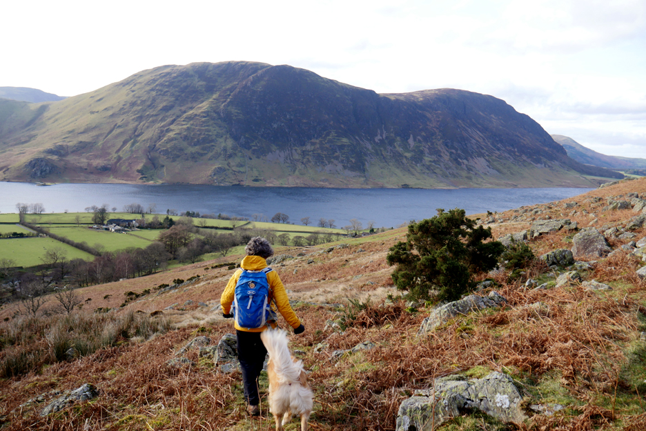
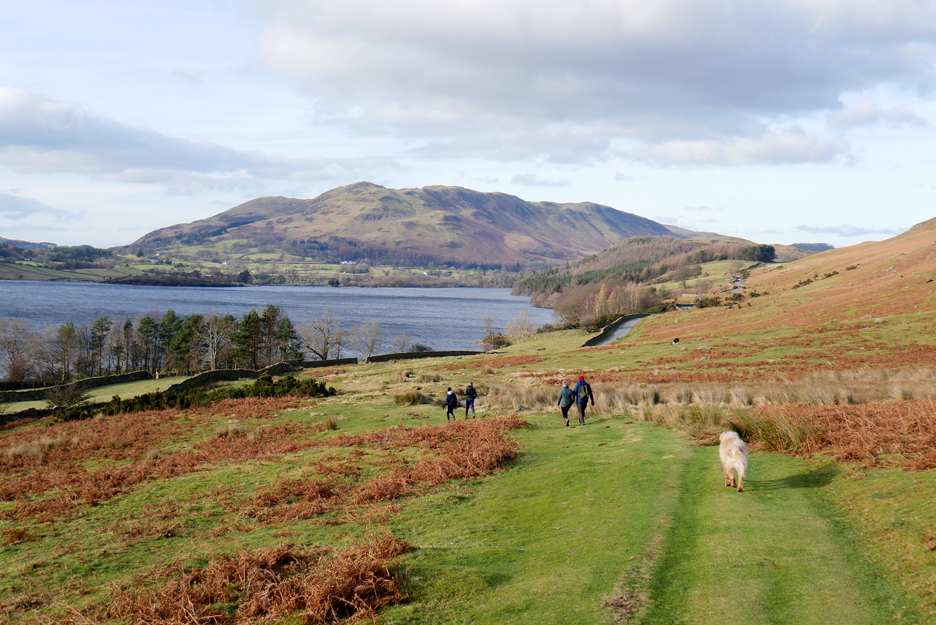
Meet Jane . . . the two dogs you'll know already !
Starting point is a little further from home than normal . . . at Cinderdale on the side of Crummock Water.
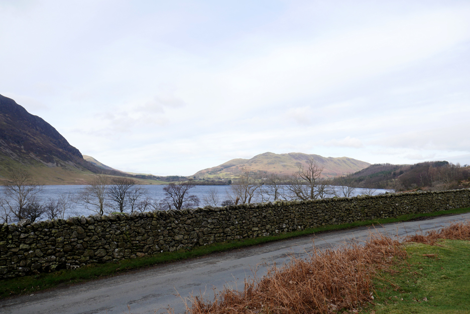
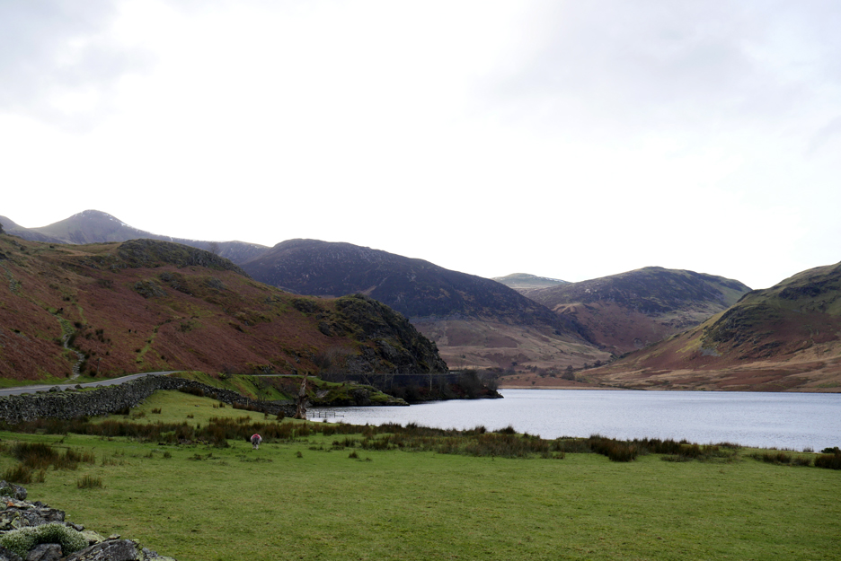
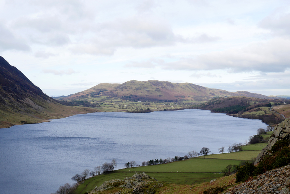
Before we head off time for a quick photo of Mellbreak across the lake. The weather is overcast today and the sun is never far away, but there's a cold easterly breeze to catch us out if we're not careful.
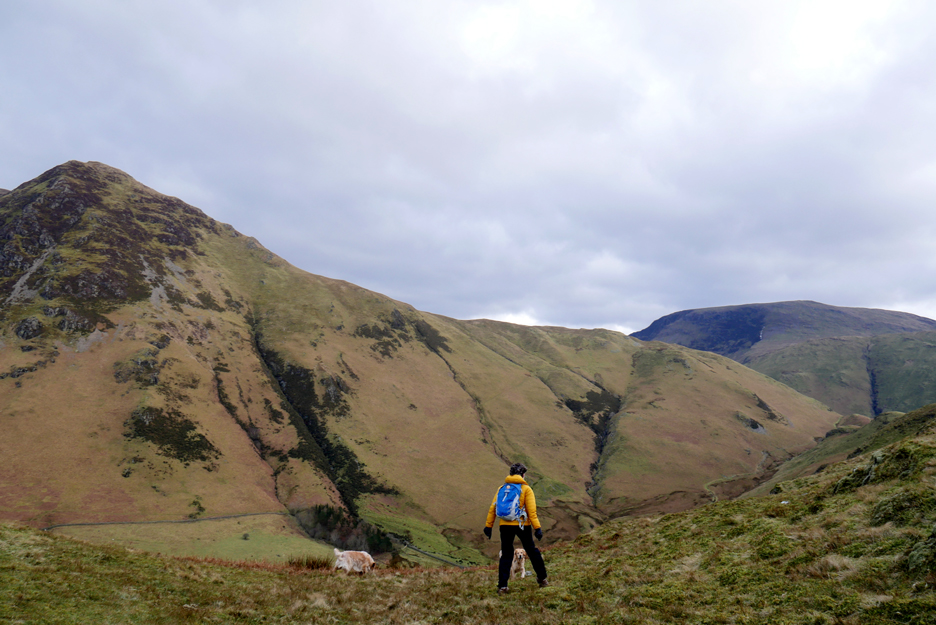
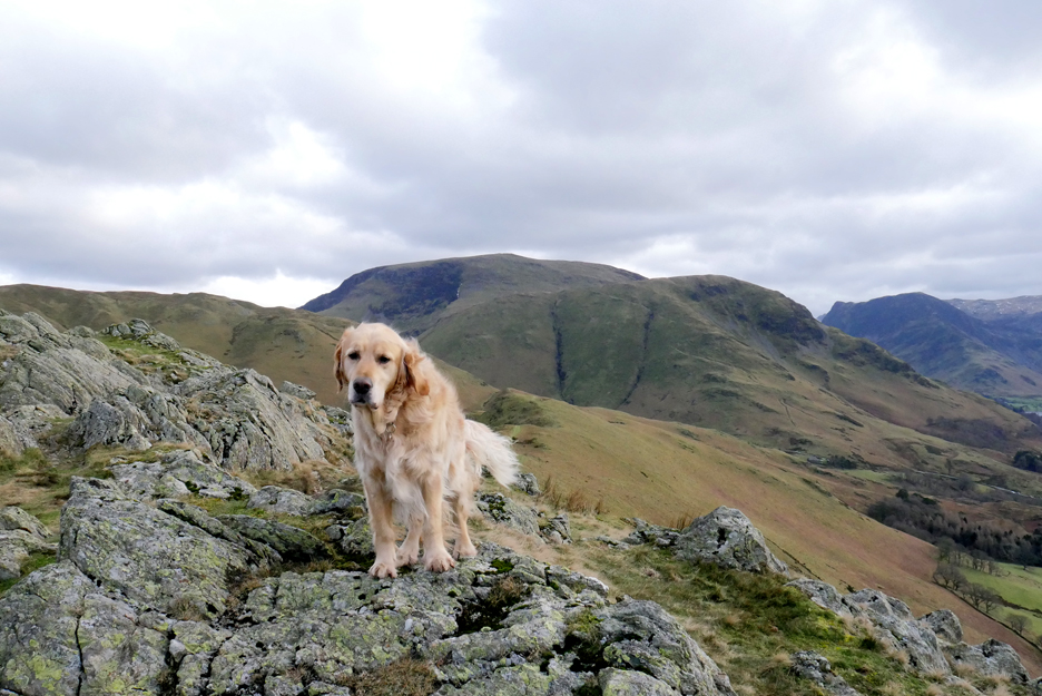
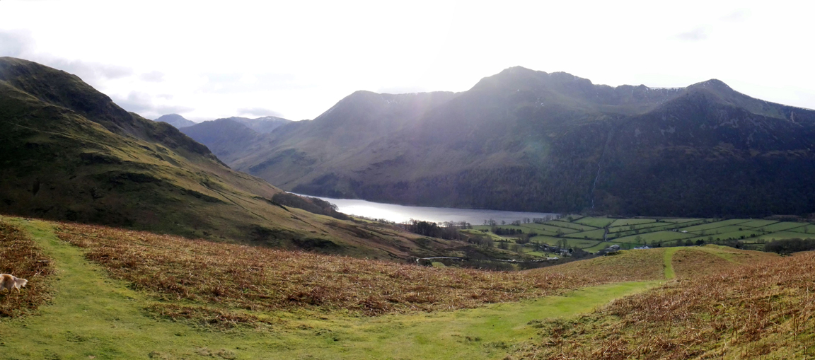
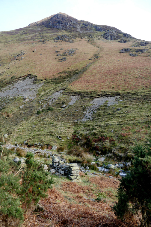
The northern face of Rannerdale Knotts, a steady 830 foot climb once we leave the road.
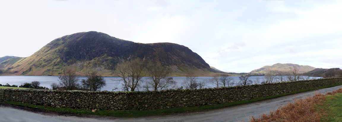
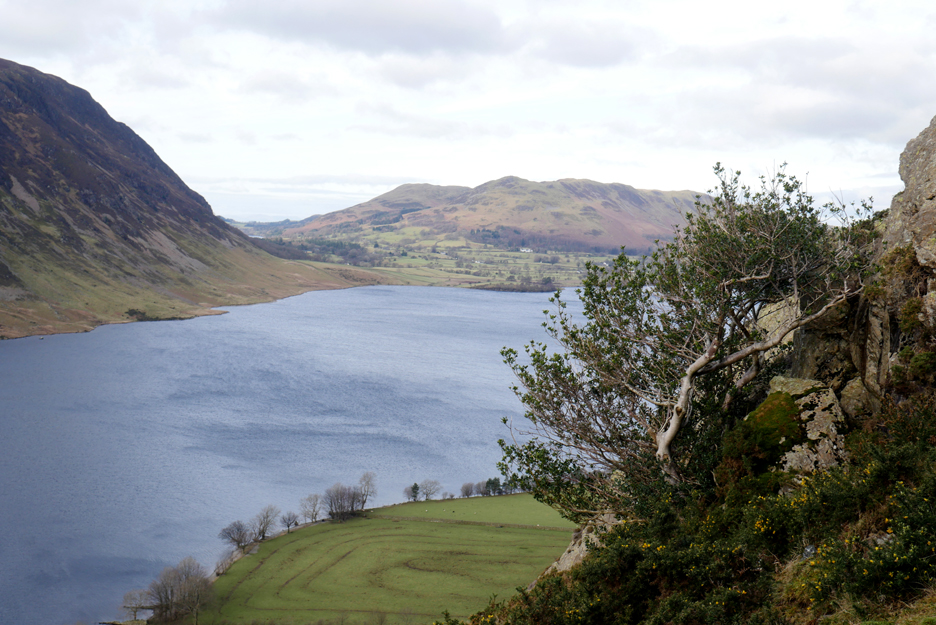
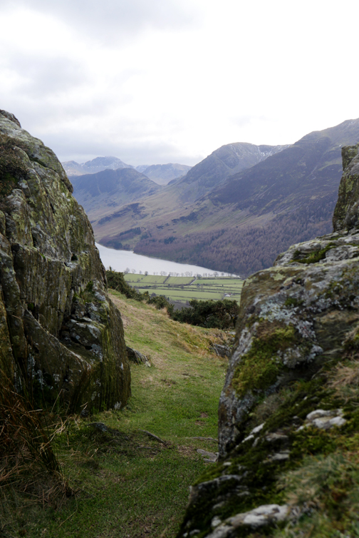
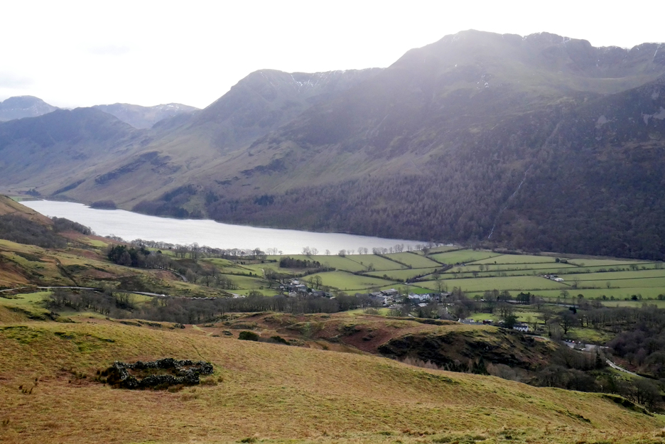
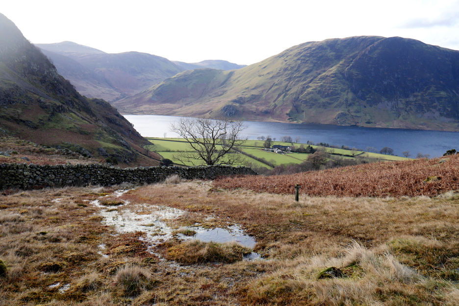
Hause Point with Red Pike above and Starling Dodd showing through the gap on the other side of Crummock.
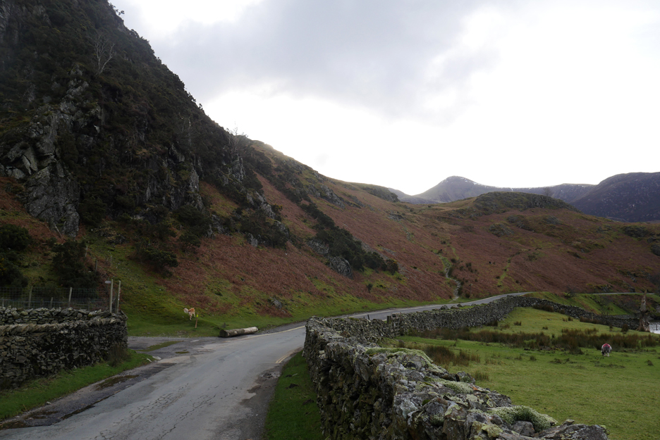
Our path leaves the road in about one hundred yards and climbs up onto the shoulder. The original pony track to Buttermere is the slightly lower green path which zig-zags up to the same point. That would have been the only way into Buttermere before the new road was blasted out of the rock around the lower part of the Hause. I haven't yet discovered a date for that . . . anyone any ideas ?
We pass a couple and their dog on the first part of the climb but hardly met anyone else on the whole of the rest of the walk.
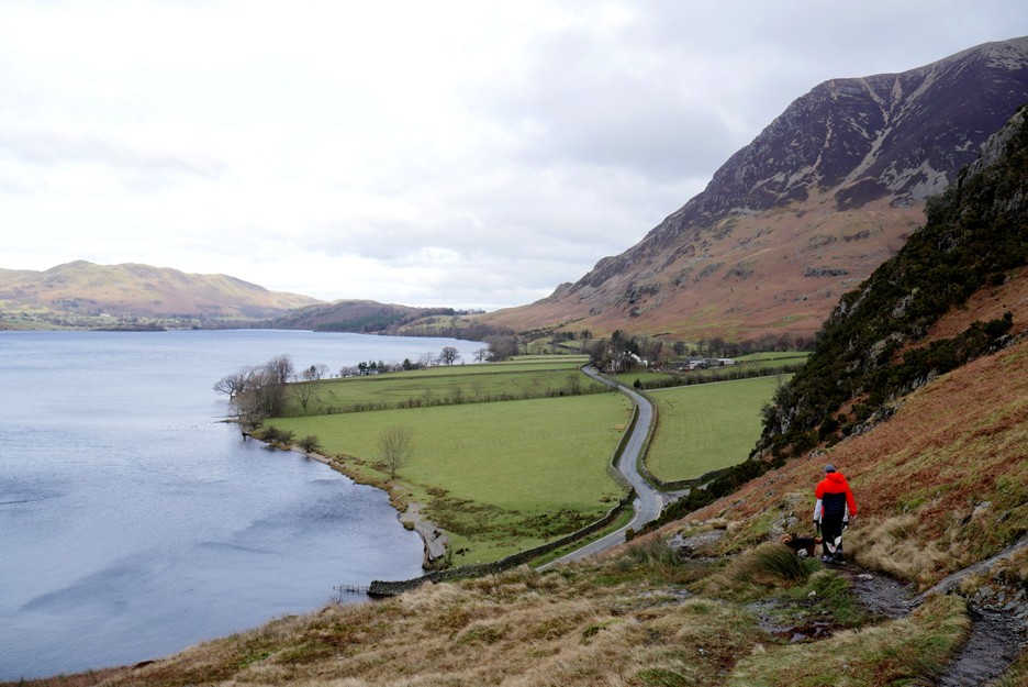
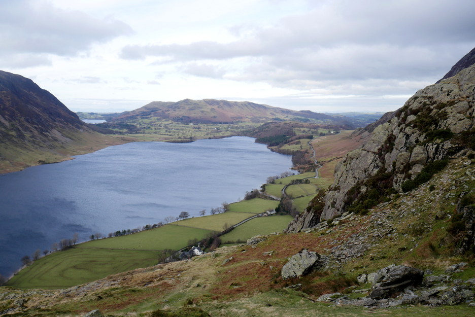
First view of Buttermere from about a third of the way up. The high fells are clear but the weather makes distant views a little indistinct today.
Onward . . .
. . . and upward.
Near the top the path splits, to give you a choice of routes to the top. The rock below had a geo-cache under it at one time but I couldn't see any sign of it now.
The climb up the sheltered side of the fell lulled us into a false sense of warm security. One we reached the open ground near the top of the fell we were exposed to the full force of the cold, strong, easterly breeze. Jane is not playing with the dog . . . she's just trying to stand upright and not get blown over !
The camera is turned for a change as the dogs and I sit out the breeze.
We had planned a liesurely sit on the top, perhaps with a light snack . . . but not today !
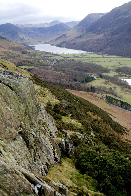
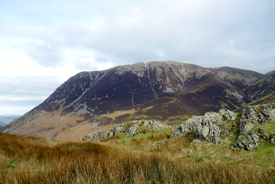
A brisk walk along Low Bank kept the cold at bay. This is Grasmoor seen over to our left, the snow on the top almost gone by the look of it.
The second "Knott" with Robinson the larger fell in the distance.
Looking down on Buttermere Village from above the old sheepfold.
Another parting of the ways ahead . . . forward to Newlands Valley, down to the right to takes you to the village, but we'll do neither as we'll take a left to walk back towards Cinderdale, down the Squat Beck / Rannerdale Valley.
That's better . . . once the photo is taken we can turn our backs to the cold wind and start down the valley path.
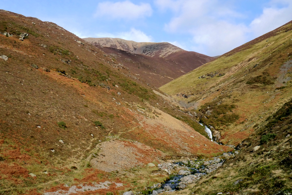
Rather than head directly for the bluebell fields we crossed at the footbridge and stayed high, walking outside the fell wall. This brought us across to the true Rannerdale Valley and we enjoyed a closer view of a small waterfall in Rannerdale Beck and the Lad Hows climb up onto the scree-covered Grasmoor summit.
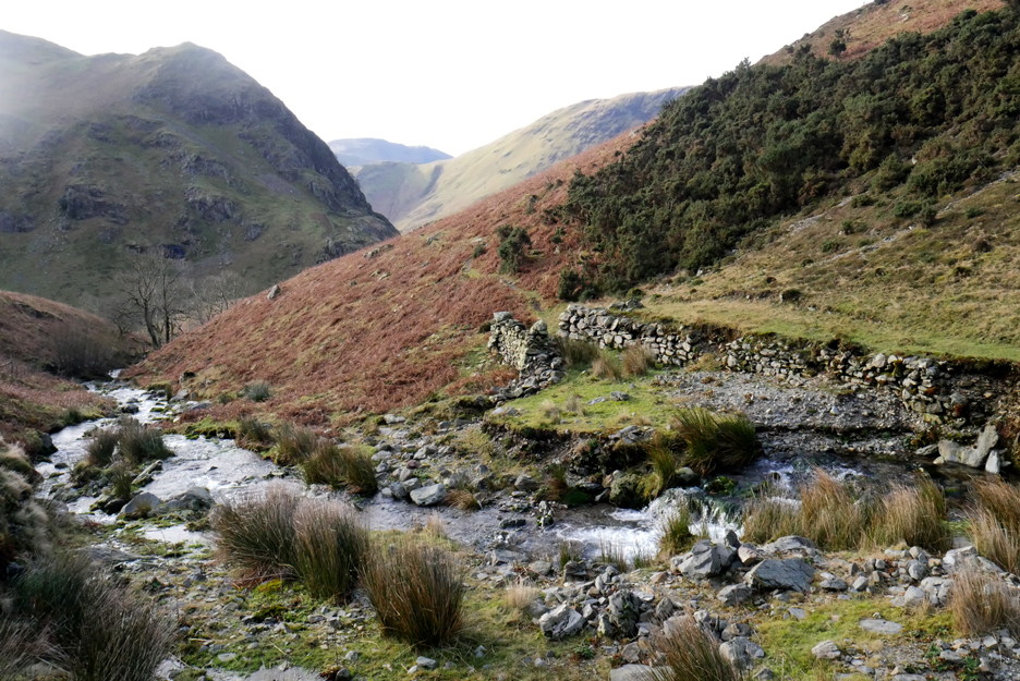
The old sheep fold here was half demolished in the floods some years back and only a few walls remain in place. We cross the beck, aiming for that higher path through the bracken. Before we do, I think those gorse bushes will provide a sheltered spot, where we can break out the thermos and enjoy a quick snack.
Don't panic . . . I've remembered their biscuits . . . just need to find them.
As there are no bluebells to see in January we skirt above the field wall and continue on towards Cinderdale.
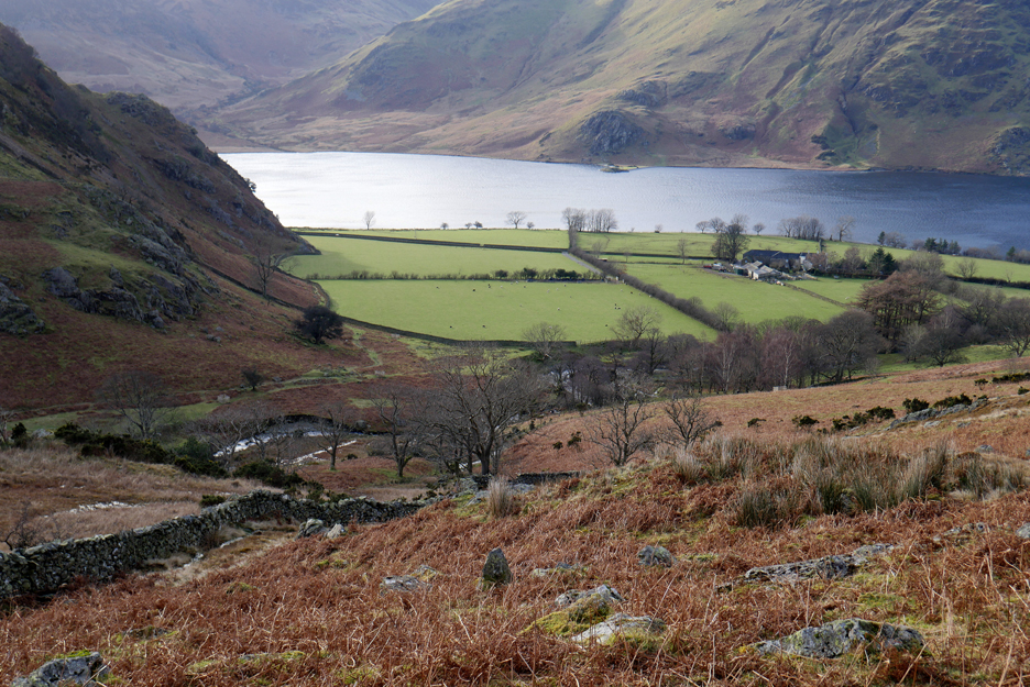
Below us are the fields and buildings of Rannerdale Farm.
Following half a path, maybe just a sheep track, we start to descend.
People once more as we reach the Cinderdale track, which is normally used in May to reach the bluebell valley. The car and both Cinderdale car parks are not far ahead but are currently hidden in the dip.
Three hours after we started the dogs are still clean and dry . . . bonus. A short drive and we're back at the cottage and Jane back to her car. I'd invite her indoors for coffee but covid plays funny tricks with the psyche doesn't it. A lovely outing, one I hope we can repeat, sooner rather than later. - - - o o o - - - |
|
Technical note: Pictures generally taken with my Panasonic Lumix Gx8 Camera. Resized in Photoshop, and built up on a Dreamweaver web builder. This site best viewed with . . . chance to meet up with old friends once more. Go to Home Page . . . © RmH . . . Email me here Previous walk - 24th January - Scale Hill in the Sunshine A previous time with Jane (and the crowd) - 19th July 2015 - George Fisher's Summer Outing 2015 Next walk - 2nd Februaary - Round Buttermere with P&Abi
|