![]()

Remember: Press F11 for a full
screen view of this page.
Web Counter when published 1 850 130
|
|
|
Remember: Press F11 for a full
screen view of this page. |
Web Counter when published 1 850 130 |
|
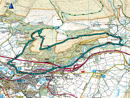
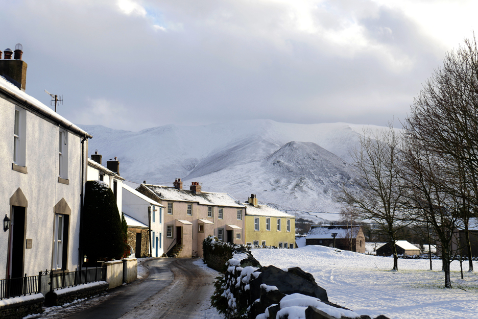
" Latrigg and the Railway Track " Date & start time: 9th January 2021. 10.45 am start. Location of Start : Spooney Green Lane, Keswick, Cumbria, Uk. ( NY 267 241 ). Places visited : Spooney Green Lane, Latrigg summit, Brundholme, The Railway Path. Walk details : 6 mls, 950 ft of ascent, 2hours 50 mins incl a snack. Highest point : Latrigg Summit, 1,203ft - 368m. Walked with : Jack (grandson) myself and the dogs, Dylan and Dougal. Weather : Sunshine but with cloud cover, snow on the ground. Cool breeze. |
© Crown copyright. All rights reserved. Licence number PU 100034184. |
|
We're allowed to join forces with just one other person for our daily exercise at present, according to the current covid rules so, as my grandson is up here in the north with work, we meet in Keswick and enjoy a classic fell walk in the winter conditions. Plenty of people about but lots of space so that's okay and the dogs can enjoy a good run too.
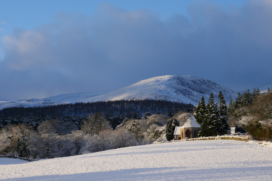
Another lovely Loweswater Morning.
The delightful cold weather and sunshine is still here, though the forecast is for rather more cloud than yesterday.
Some of that cloud brushes the tops of Whiteside and Grasmoor.
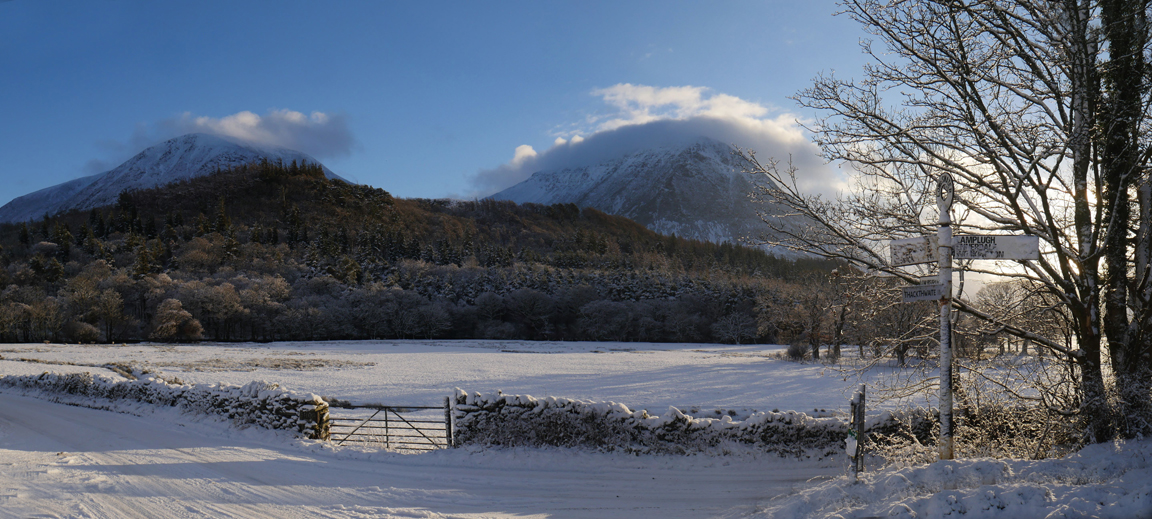
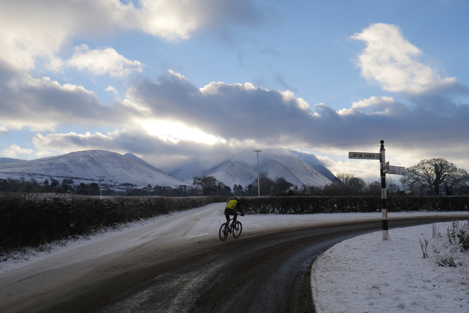
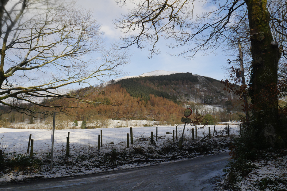
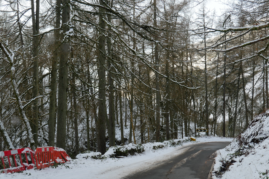
Time to head off and meet my grandson. The roads are snow covered but Scale Hill ahead has been gritted by locals (thanks) and by the council from Lorton on apparently.
Looking back from the Lorton signpost at an enthusiastic cyclist venturing out in rather wintery conditions.
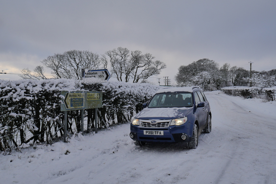
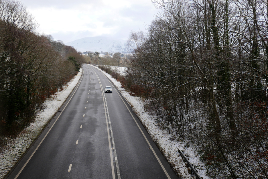
Rather than drive into and out of Cockermouth I take the regular short cut direct to Embleton. Back onto snow for this section and I stop for a photo of Skiddaw from this higher section of road. Sadly there are too many trees and small pylons to give a clear view so you've got a picture of the car instead !
On the steep slope down to the main road I stop for that 'searched for' distant view of Skiddaw, seen this time over to the right in the sunshine.
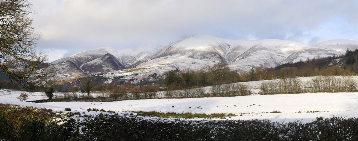
Skiddaw again as I stop in the layby on the A66 next to Bassenthwaite Lake. Technically these are the Skiddaw outliers, Ullock Pike and Longside Edge with the darker wooded fellside of Dodd.
The contrast of the bright sun on the fell encourages me to stop again and have a better look at the high fells. Skiddaw is in view this time, albeit with a slight mistyness about the summit . . . but the tall one with the brightest snow is Skiddaw Little Man.
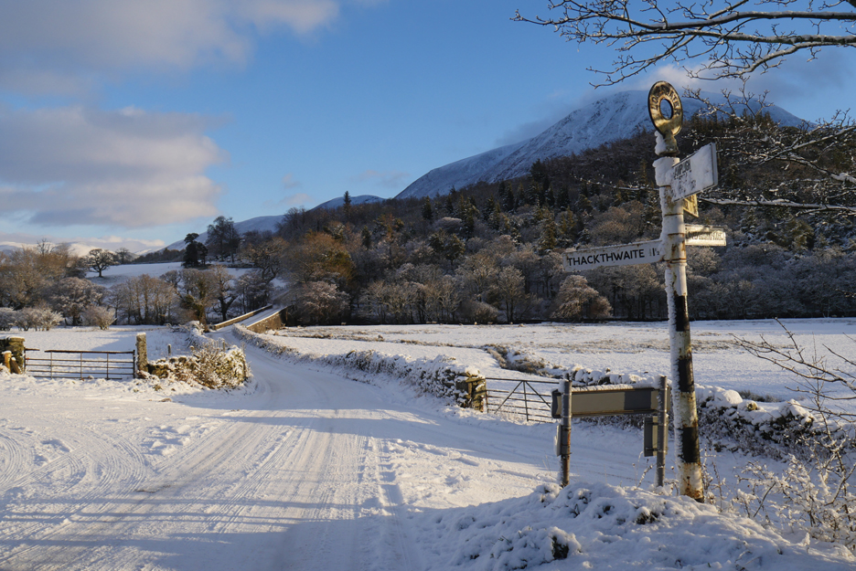
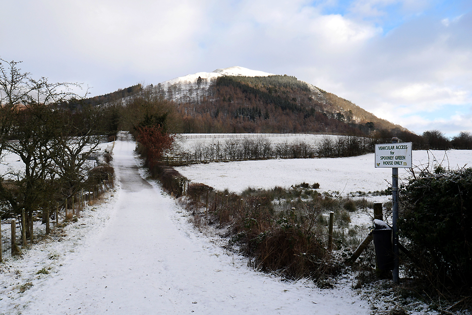
Oh yes, while I'm parked, a photo of Latrigg where I'm planning to meet Jack today. - - - o o o - - -
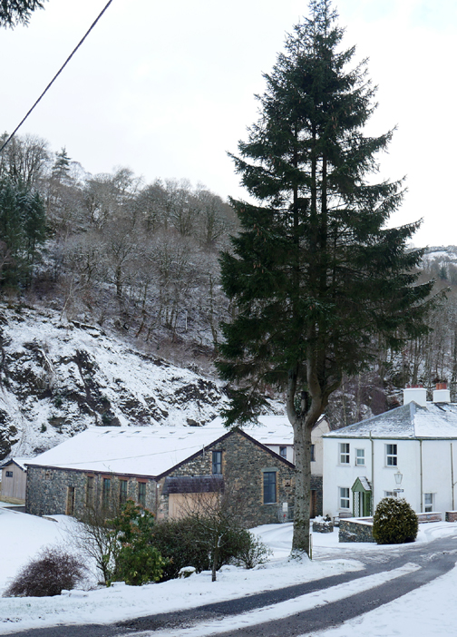
My grandson and I arrive within minutes of each other, at Briar Rigg on the outskirts of Keswick. Once booted up we headed out along Spooney Green Lane.
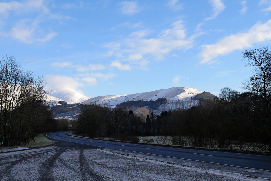
A classic but hardly fellwalking view from the A66 bridge, but at least I've included Clough Head in the background.
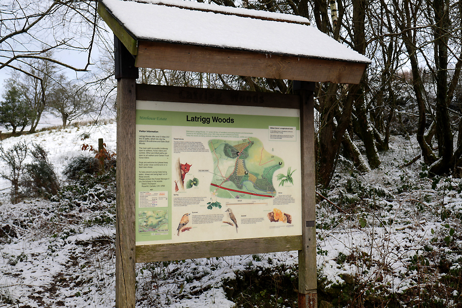
Self explanatory . . . though today's ground map should have a lot more white on it.
See what I mean !
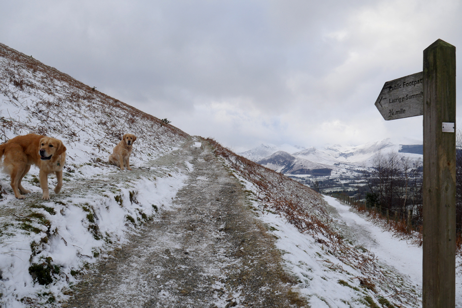
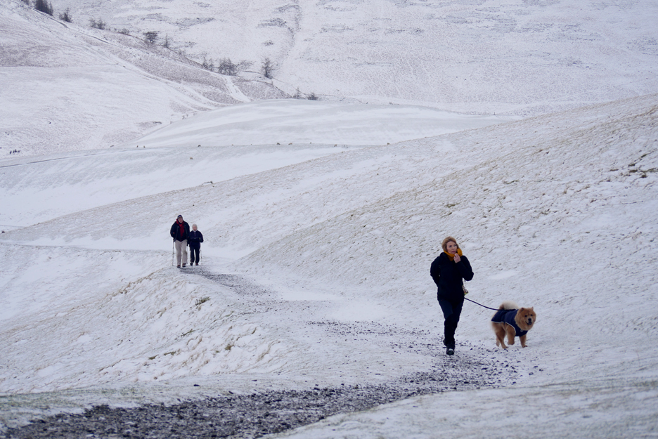
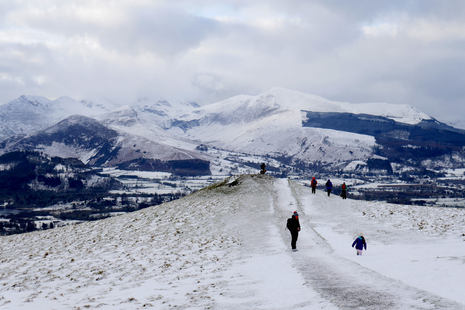
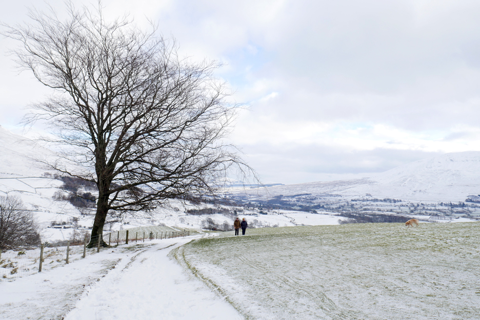
After walking up the "Cumbrian Way" path to here, it is now time to divert towards the summit. Our track starts to zig-zag up the side of the fell. The path is quite frozen . . . time for those trusty microspikes !
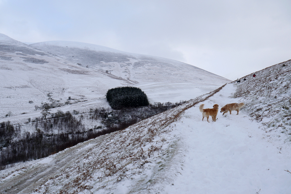
It is supposed to be a picture of the four path levels, one down by the scrub trees, a second clearly on the left, the third is the one that the dogs are on and the fourth 'zag' has the people ahead.
Winter Walking . . . yes it looks and was . . . slightly cold !
People and dogs wrapped well against the weather.
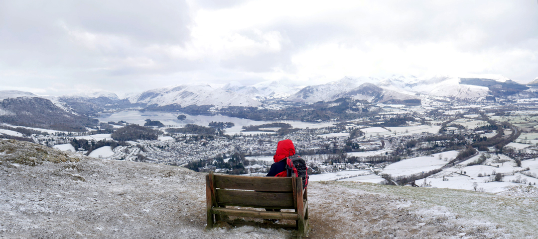
The kind gentleman added colour to the photo . . . but he was going to sit down to enjoy the view anyway.
Looking across to Nichol End and Derwent Water Marinas, with the trees of Swinside behind. The major fell with the diagonal track up it is the Rowling End, an outlier of Causey Pike.
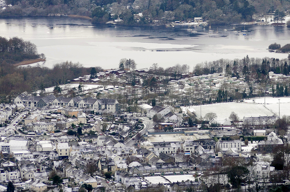
Looking down over town . . . The curved road is The Heads, so the Rugby Ground is the flat field to the right and Booths Supermarket is the large, seemingly flat-roofed building this side of it.
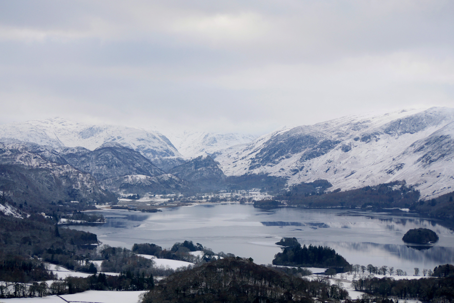
Looking the length of Derwent Water to the Jaws of Borrowdale. The two darker, lower summits are Kings How and Castle Crag.
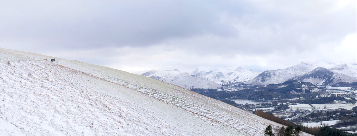
A reasonable number of folk about today, encouraged by the benign forecast and the potential view. It is in fact colder than expected, especially as the sun seems to have disappeared.
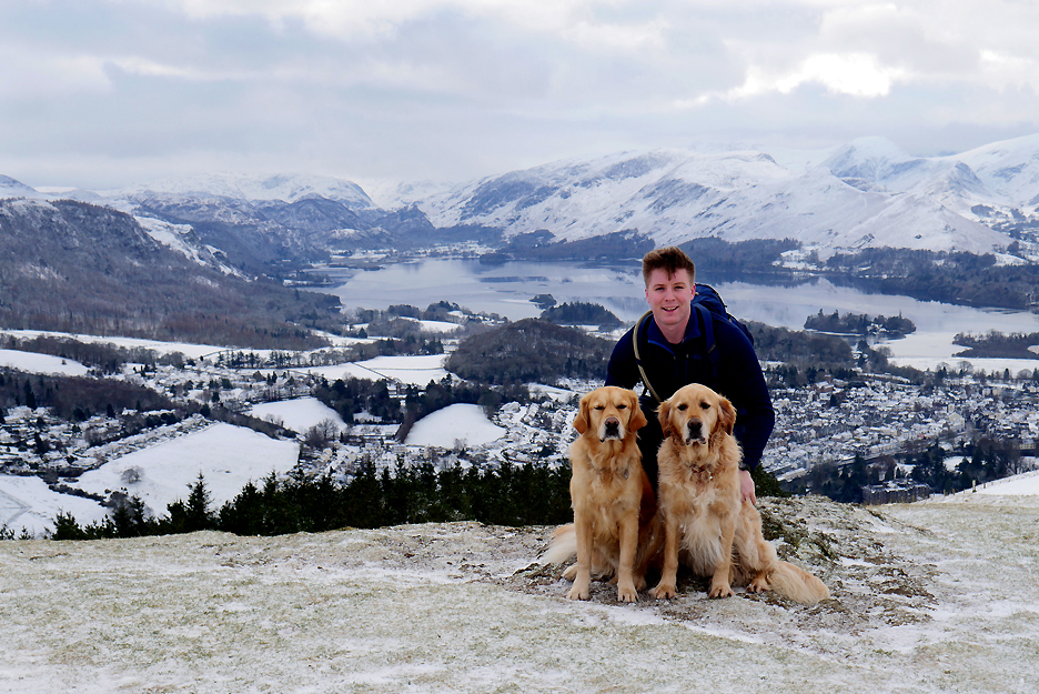
Jack, Dougal and Dylan on the summit of Latrigg.
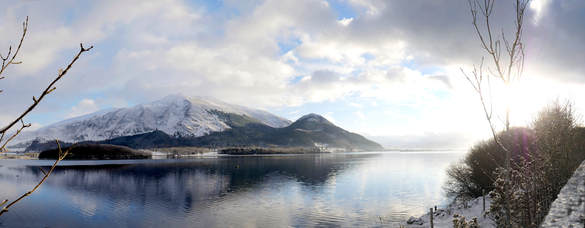
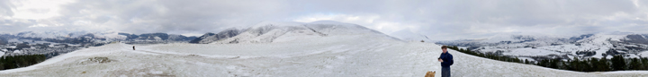
This was the view from just a little further on. Click here or on the photo above for a special Loweswatercam 360 degree annotated panorama.
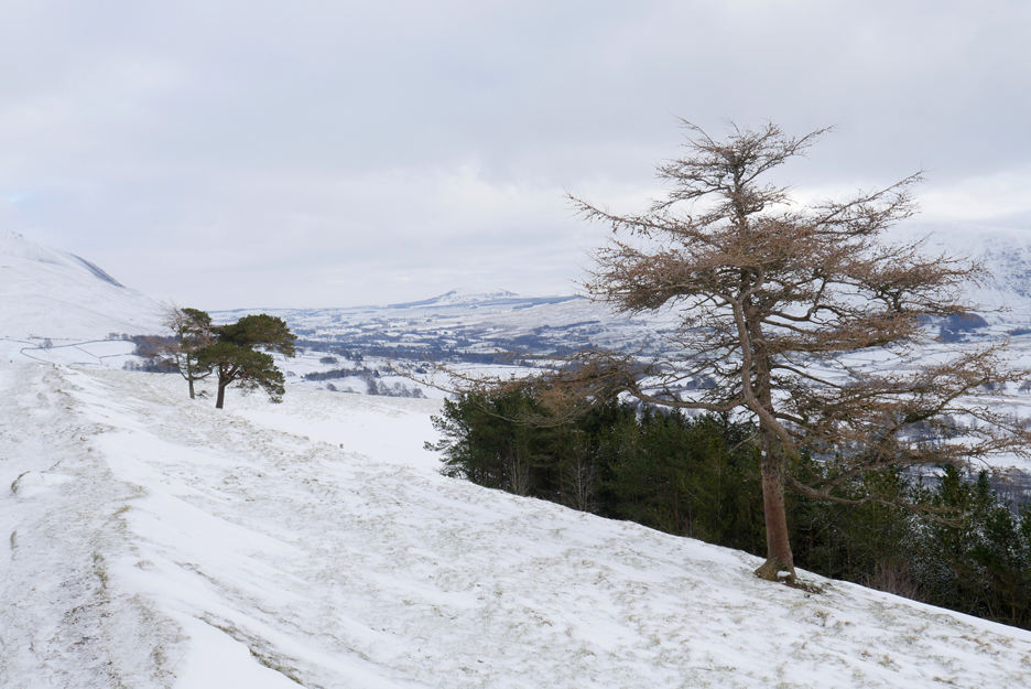
The larch trees on Latrigg looking a little forlorn in the winter conditions.
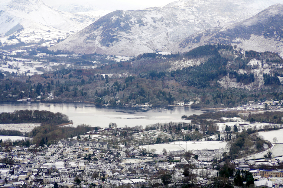
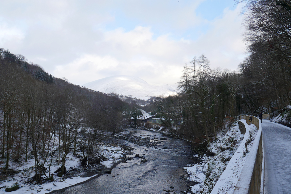
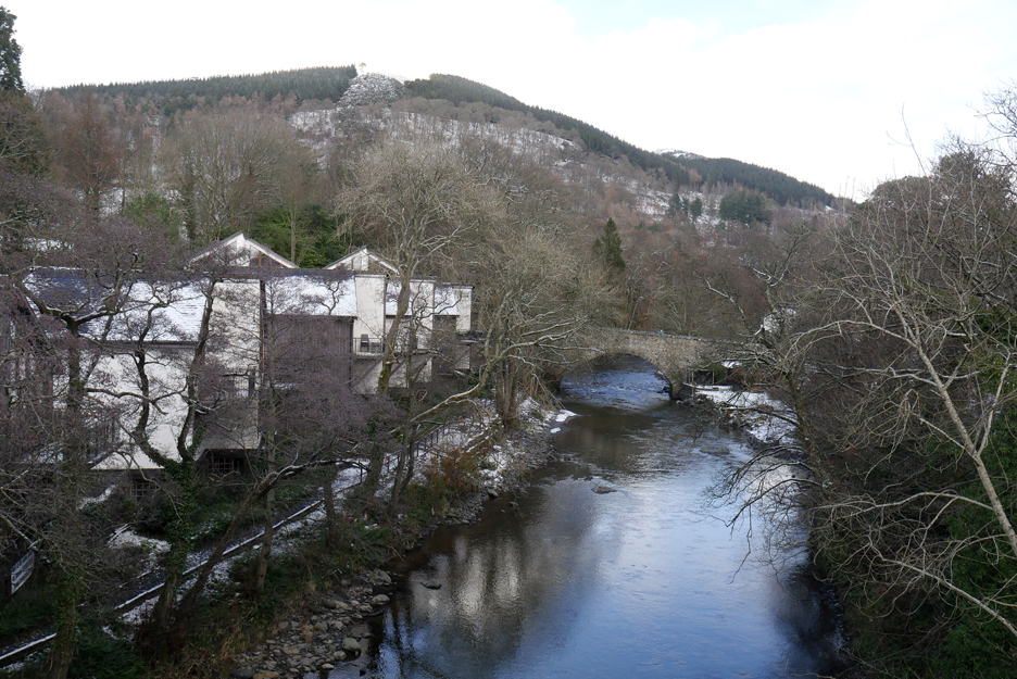
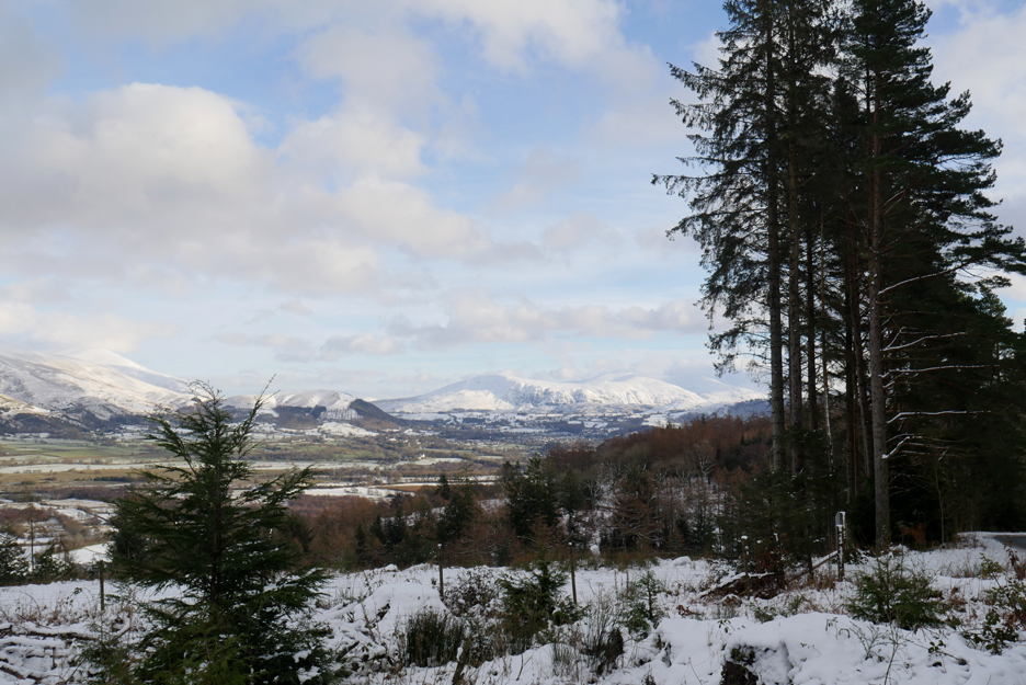
Below the woodland is the valley of the River Greta , many of its features flattened out by the snow, but highlighted in darker browns and greys you can see the gentle curve of the A66 roadway. The old railway track however took a lower level route to get to Keswick and traces of it can be seen down by the River Greta below us.
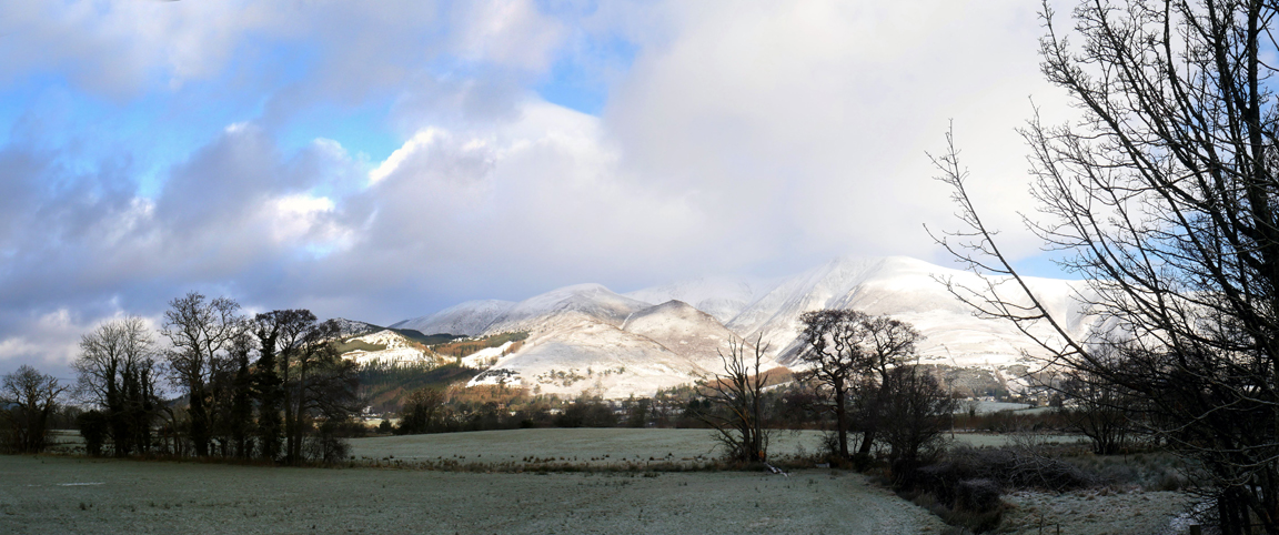
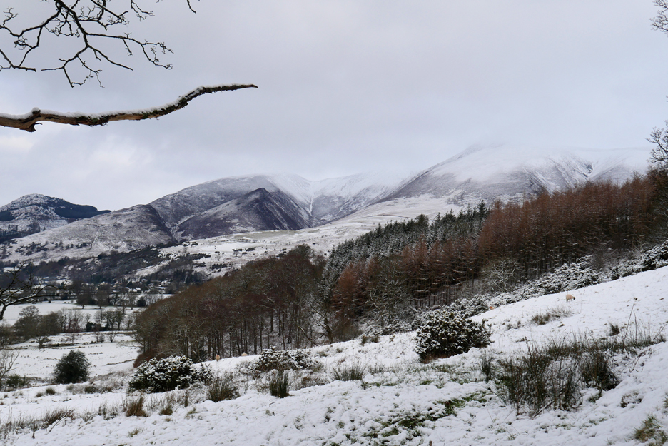
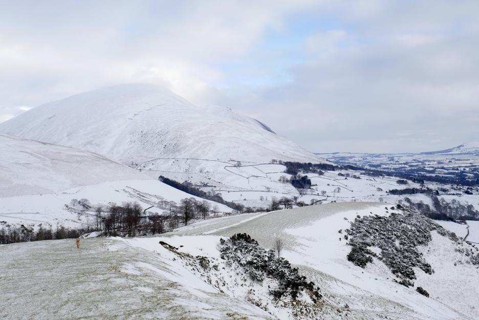
Bringing the camera to the horizontal again reveals the changing glory of the high fells under their blanket of snow. Here the imposing end of Blease Fell, one of the five "fells" that make up the southern facing slopes of Blencathra.
Blending into the snowy sky is Lonscale Fell to the right, with the wide "pony track" up Skiddaw more or less following the fence line and the Whit Beck indentation in the centre.
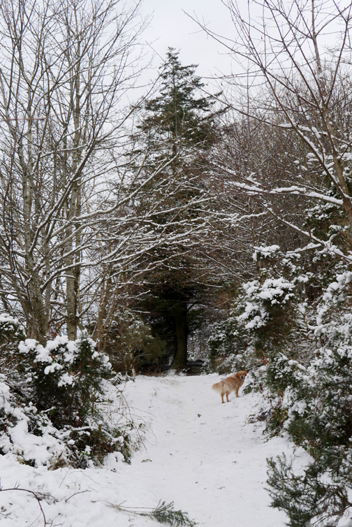
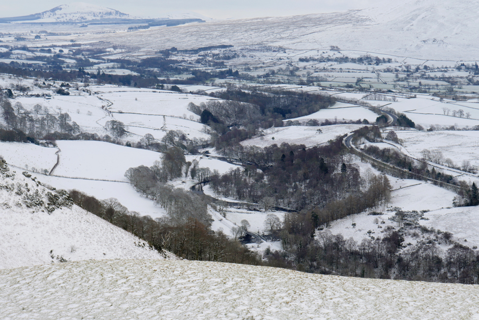
Latrigg Fell gradually slopes toward its eastern end. Some of the snow has drifted into the track here making walking on the grass the easier option.
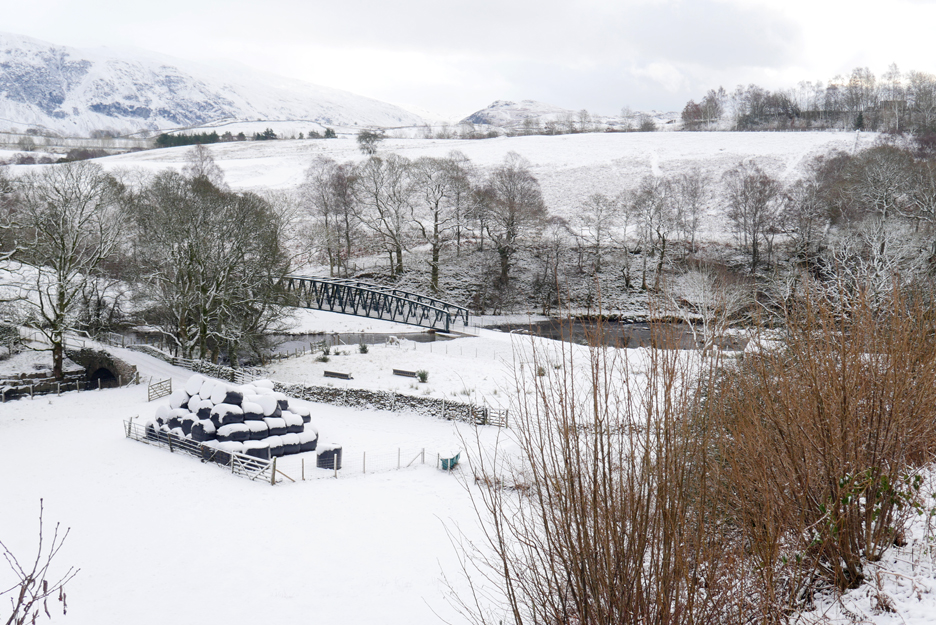
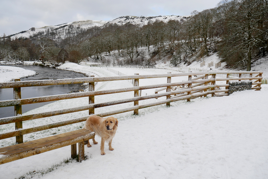
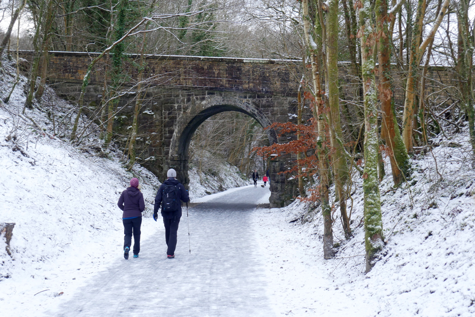
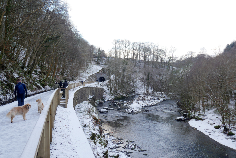
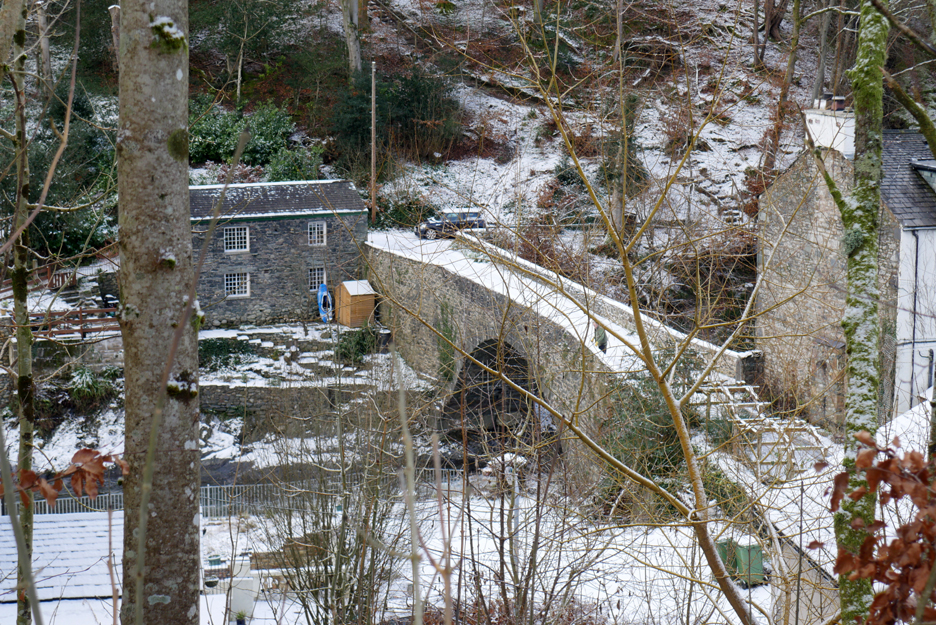
A steeper final descent on a local road at Brundholme brings us down to the river and the old railway track bed. Part of the track and two of the four Victorian railway bridges were devastated in the Storm Desmond floods of 2015.
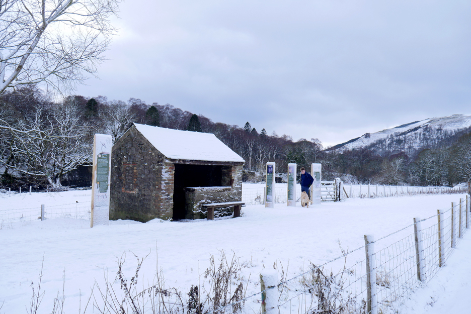
Now the bridges are back, the track bed restored as a path and cycle route and for its recent re-opening ... it was covered in snow ! The Keswick to Threlkeld Railway Trail - - - o o o - - - We reach the railway path at the old linesman's hut at Brundleholme.
This is where the railway workers would have stopped for refreshments, perhaps to warm themselves up on a cold day. It would have had windows and a door in those days and would have been warmed by a coal fire inside.
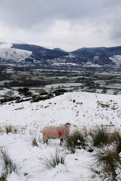
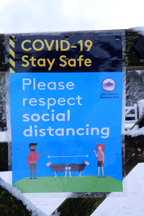
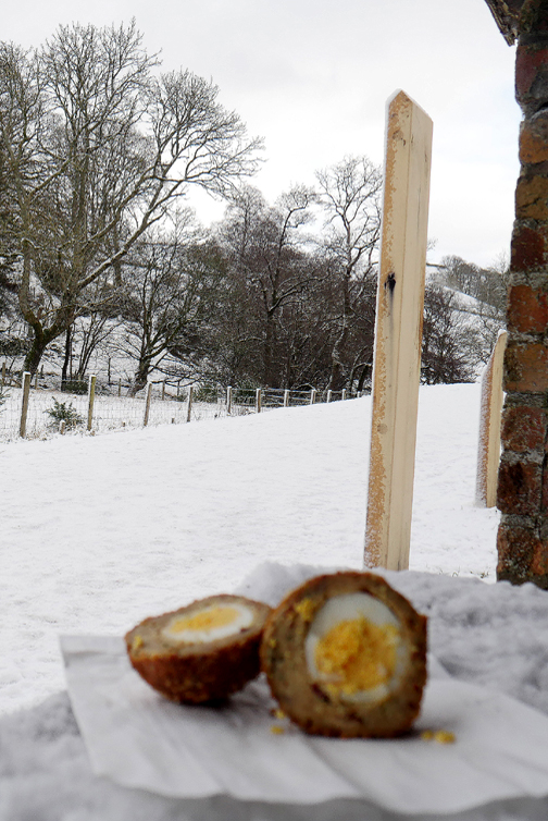
Each location you go nowadays to tries to define social distancing it their own particular way. In the supermarket it is two trolleys, I've seen bikes or two child's pushchairs as markers for distance, here it is two herdwick sheep. Sadly there were non at hand on the railway track so Jack and I had to estimate how far apart to sit whilst indulging in our fellwalking snack . . . sorry, in no way is that a substantial meal !
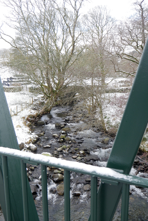
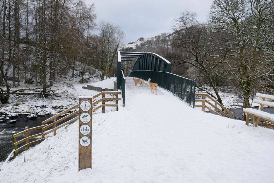
Afterwards, a quick up and back across the bridge, just to say we've done it ! Below is the Whit Beck, now combined with the Glenderaterra River, as it sweeps down to meet the Greta. The two dogs were slightly put off by the elevated views and the amplified sounds of human footsteps as a result of the elevated bridge structure.
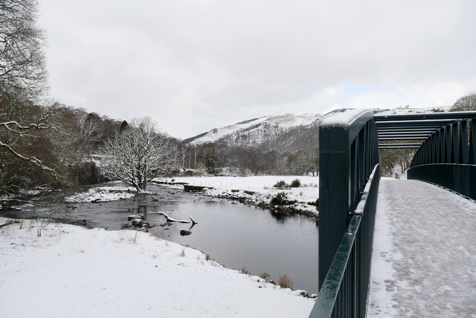
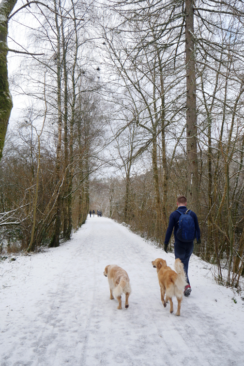
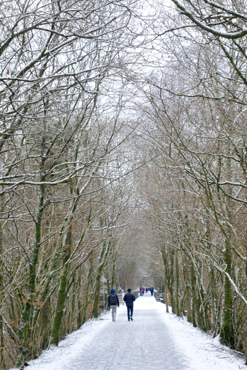
We cross over and then immediately turn to cross back, to follow the River Greta valley footpath down to Keswick.
Where the track bed was washed out the National park have diverted the path away from the original line and it now takes a grand curve around the far side of this isolated field.
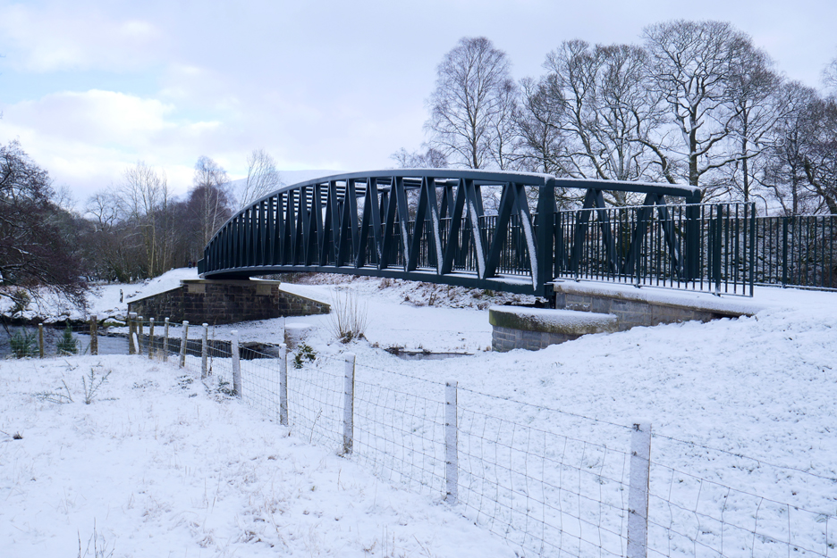
The second of the re-built bridges, as by now the path has re-gained the original line of the railway.
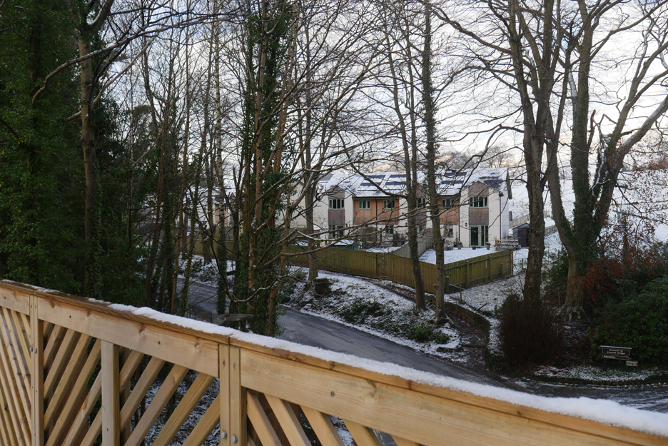
Ooh . . . they've got camping pods like I have . . . does that make me a trend-setter ? The new pods at Low Briery Holiday Park are a little bigger than mine and apparently have internal kitchens and showers as well.
The Low Briery Bridge enabling the local road to cross the old railway.
Looking back at Briery and the now distant snow covered Blencathra . . .
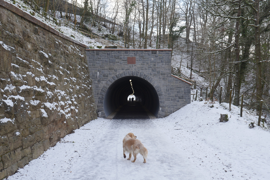
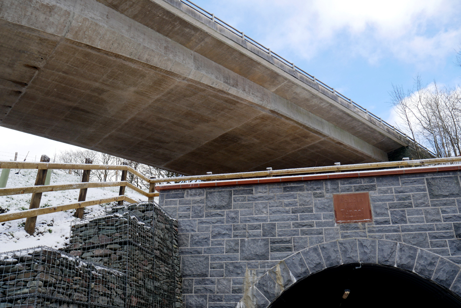
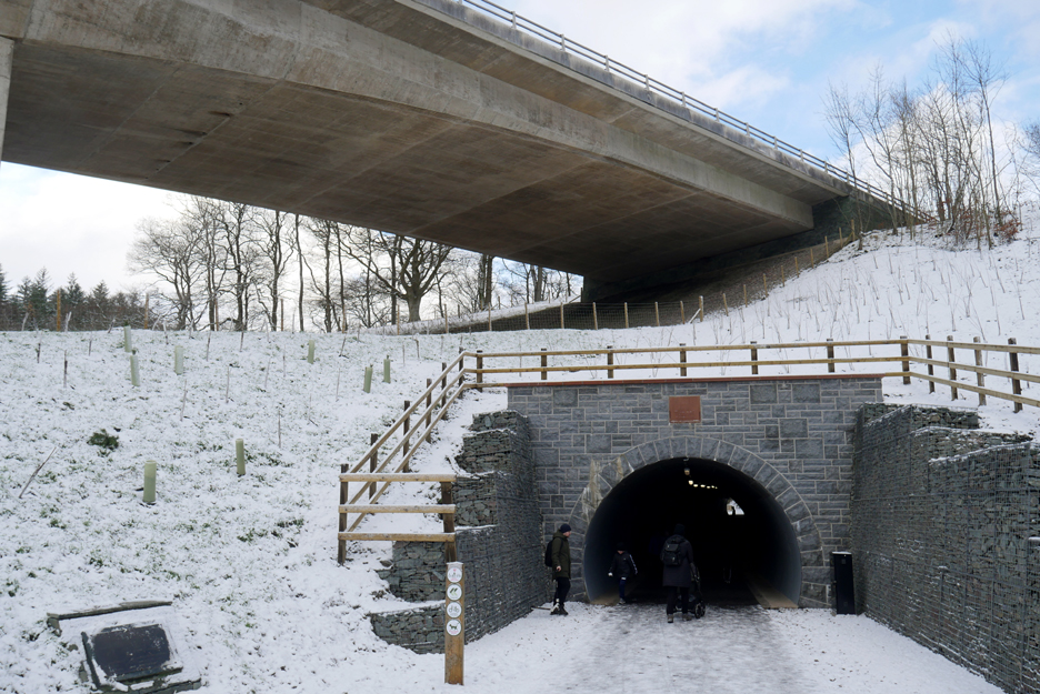
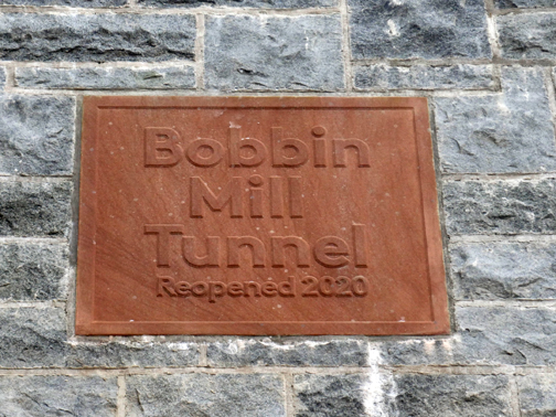
. . . and forward to the prospect of the recently re-opened Bobbin Mill Tunnel.
Gone is the decking walkway through the woods to the right.
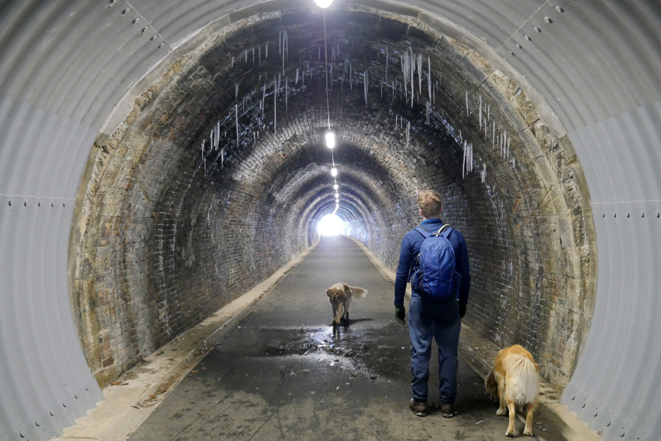
A new 20 yard extension leads you into the original brick railway tunnel, complete with dripping water and icicles today !
Sanitised but safe. It is lovely to walk the old tunnel but there are too many lights me and consequently lacks atmosphere and any exciting aura about the place . . . at least the lamps appear to be energy saving led's, not fluorescent tubes.
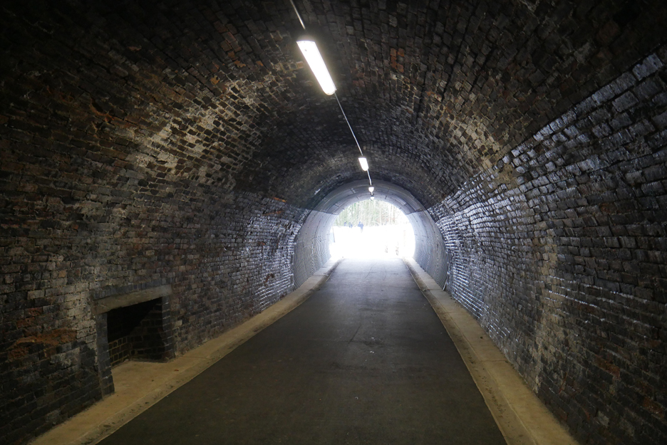
The exit back into daylight. A second short tunnel extension at this end brings you clear of the A66 road bridge, which unexpectedly flies dramatically overhead.
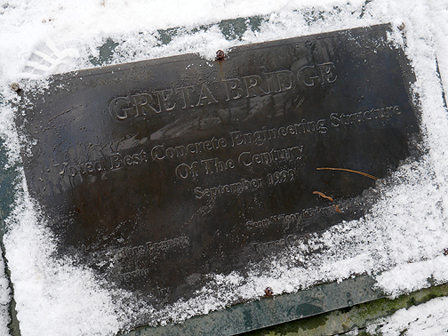
Two plaques add information . . . one below the bridge and one on the tunnel entrance.
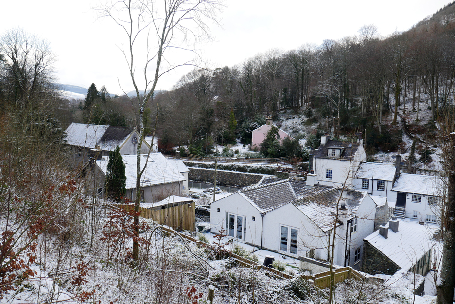
The Windebrowe Bridge seen from the path.
. . . and the houses that front the river at this point.
The cleared trees have opened up the view of the Low Brigham houses . . . perhaps exposed them a bit too much ! The bank has been re-planted but that makes you wonder why they cut the greenery away in the first place.
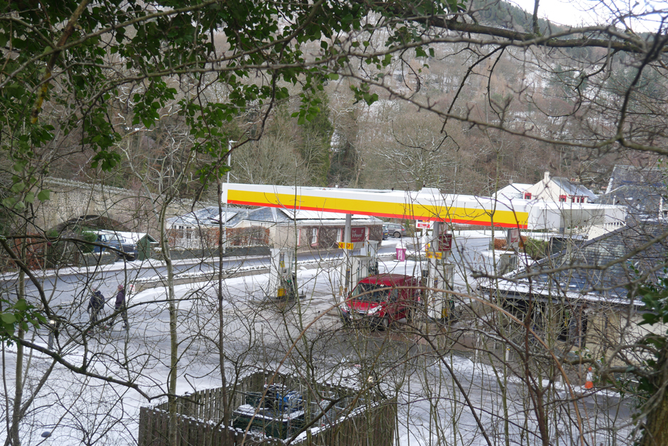
The Calvert's Bridge across the river and the Low Brigham petrol station close by.
Soon after the railway re-crosses the river once again, looking over to the time share apartments.
The relatively new houses of the Calvert's Way development, Shepherd's Field I think it's called.
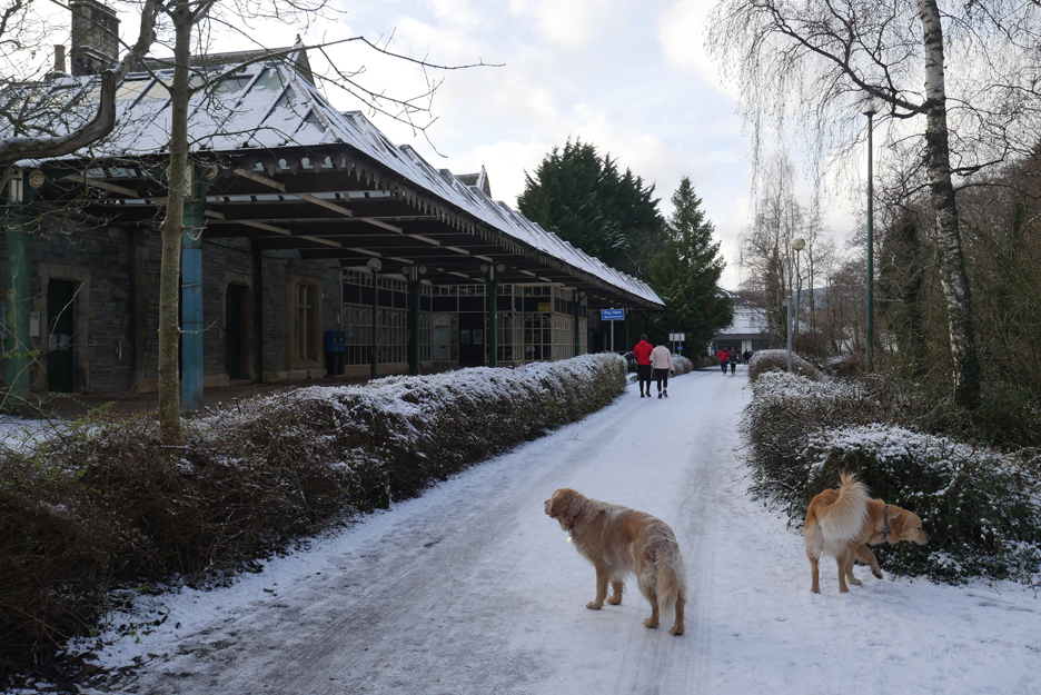
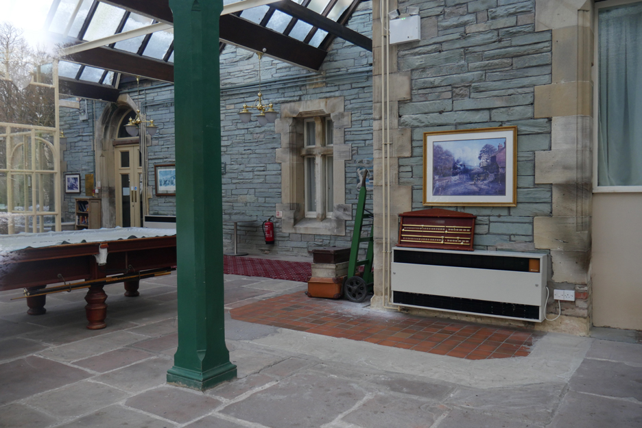
The old station was incorporated into the Station Hotel, which is now known as the Keswick Country House Hotel
The glazed station platform incorporated in the hotel.
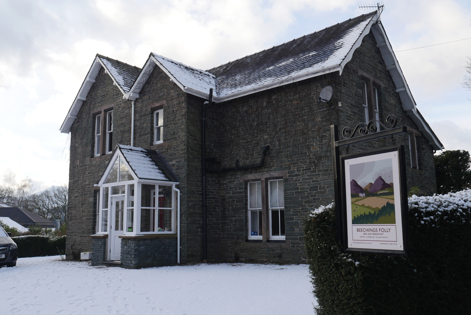
Beeching's Folly, a local guest house with a historic reference in its name. Richard Beeching's "The Reshaping of British Railways" 1963 report was designed to stave off heavy losses for British Rail but had the unwelcome spin off that many local rail lines like this one were sadly closed. The conversion of the Threlkeld to Keswick section of this line to a footpath is very welcome from a local tourism and amenity point of view but must have nailed any plans that might have existed to re-open this old railway to trains once again.
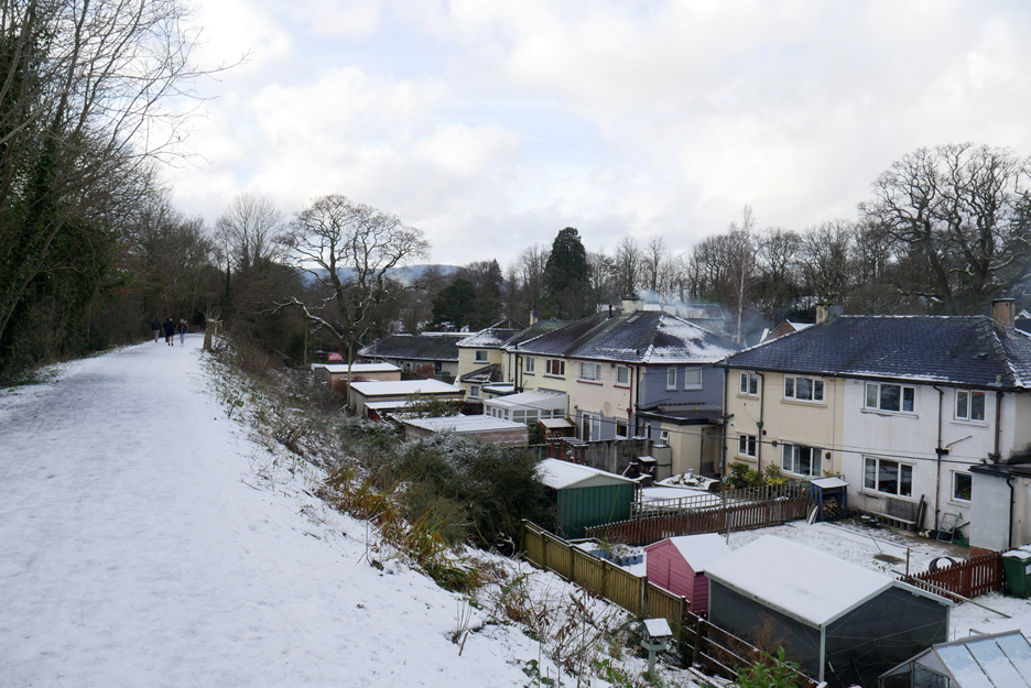
Nearly full circle as we leave the station and the railway path, to continue on via the Brundholme Road. To our right is Latrigg, with the snowy summit that we stood on just a few hours ago.
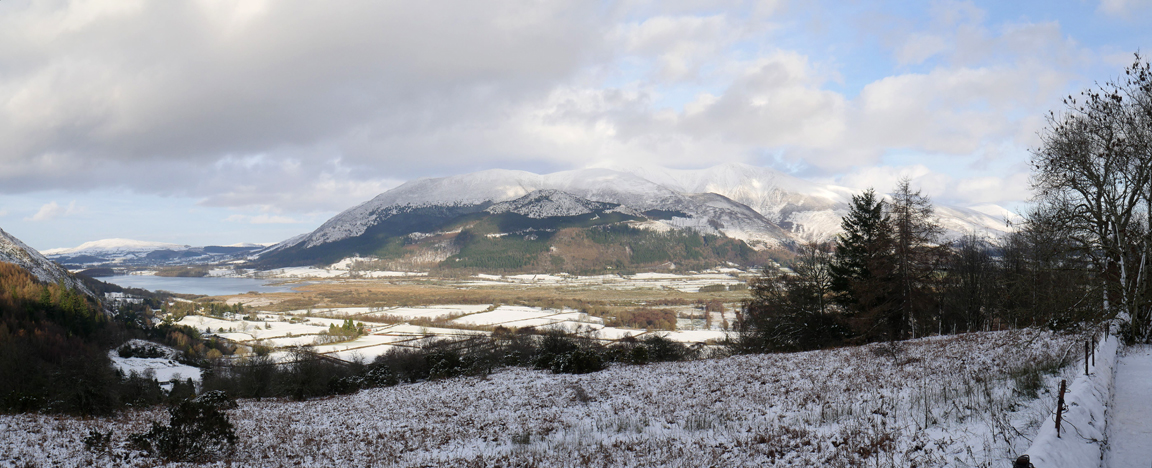
The weather has improved once again and a changing sequence of Skiddaw Fells are highlighted by the brighter sun's rays.
A cheerful red post box, seen as we return to the cars at the bottom end of Spooney Green Lane. Sadly the covid situation means we can't adjourn to a cafe or pub today so we have to pack the gear way and with a brief fist-bump, sadly depart the scene in separate cars. - - - o o o - - - Just a few more pictures on my drive back home over Whinlatter to close.
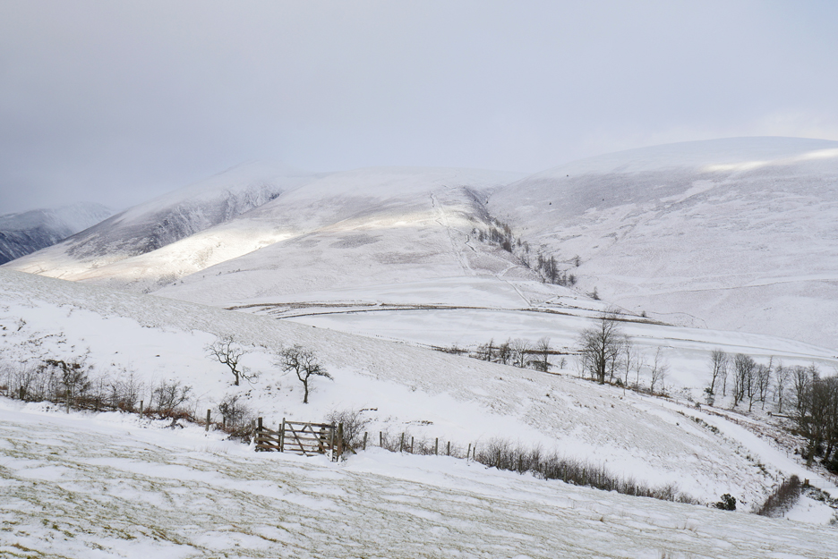
The Skiddaw Fells from Knoble Knott viewpoint.
Latrigg, Clough Head and the Dodds from a little further up the road.
The 'forestry houses' and the summit of Ladyside on the way down the other side.
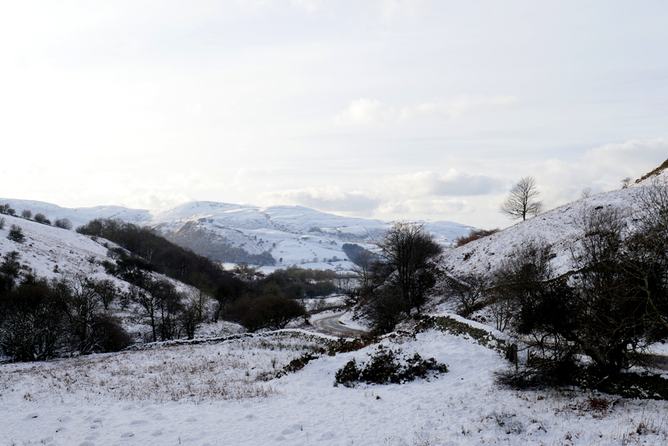
A stop to check the road state, a quick photo then a careful descent of the steep hill and bends down to Scawgill Bridge.
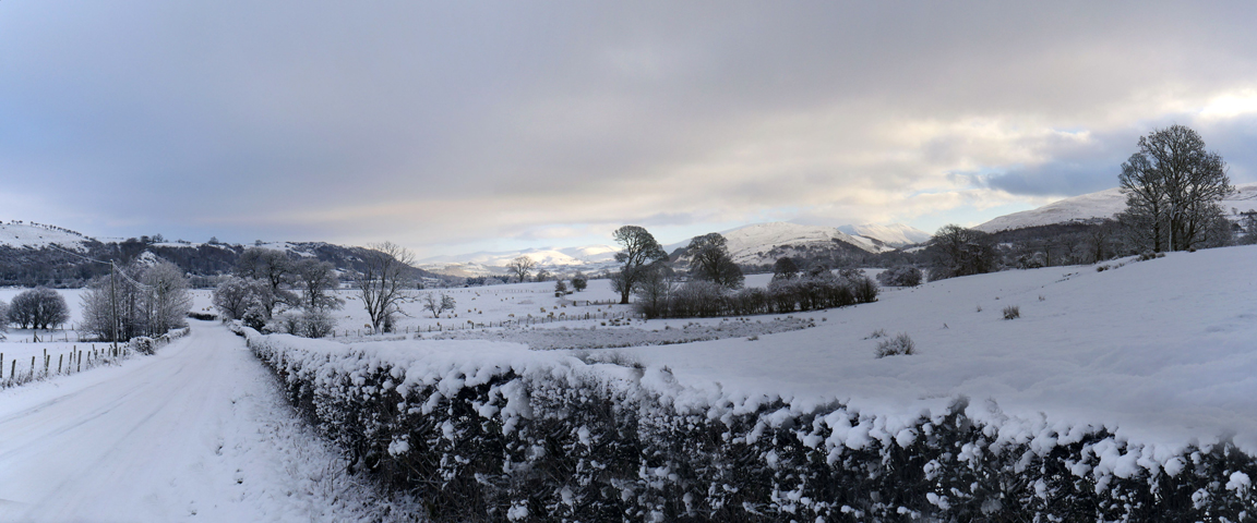
The Lorton Valley ahead, now the slightly tricky bit is over.
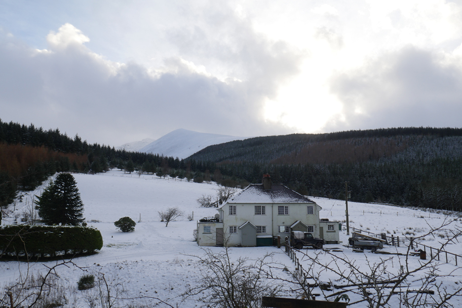
High Lorton Houses . . . set against a backdrop of Hopegill Head and the Whiteside Ridge. - - - o o o - - -
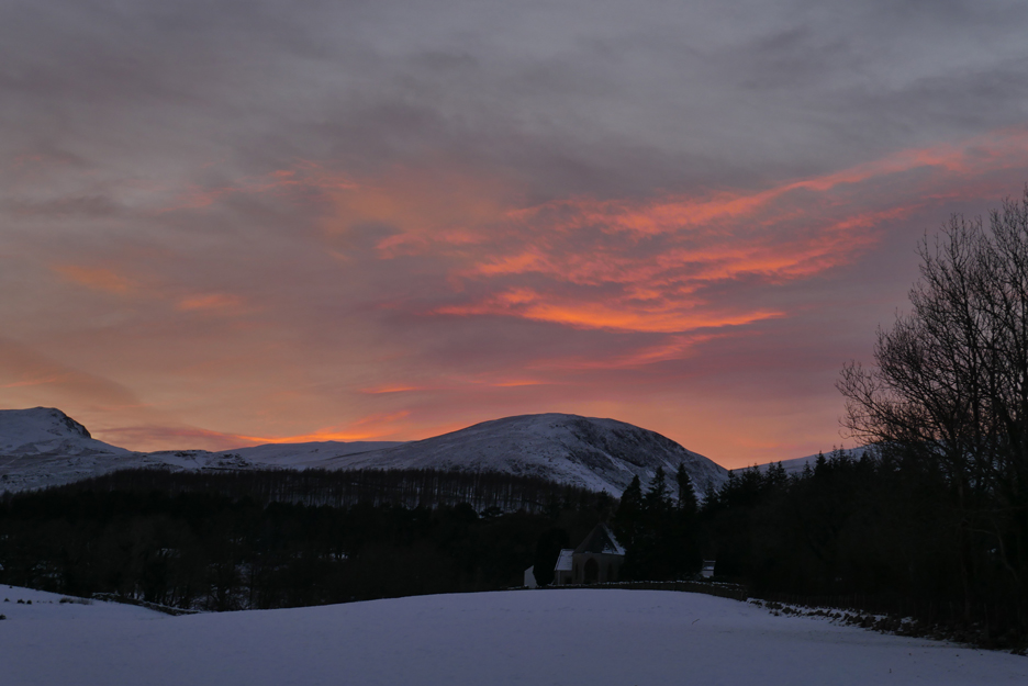
Sunset on the 9th, subtle but grand nevertheless.
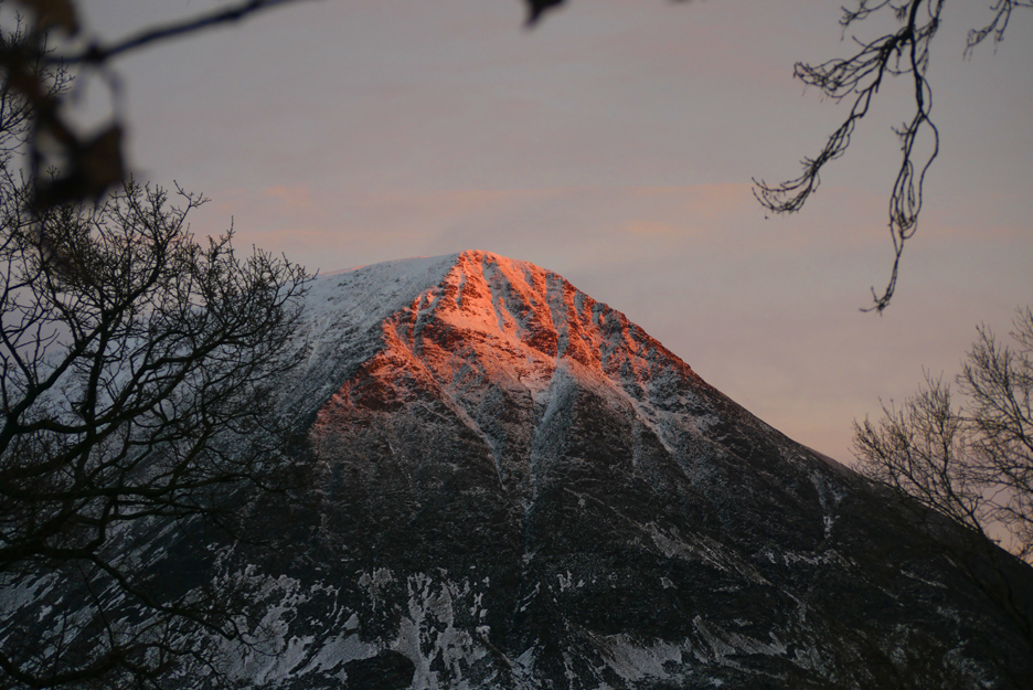
Grasmoor catching the light.
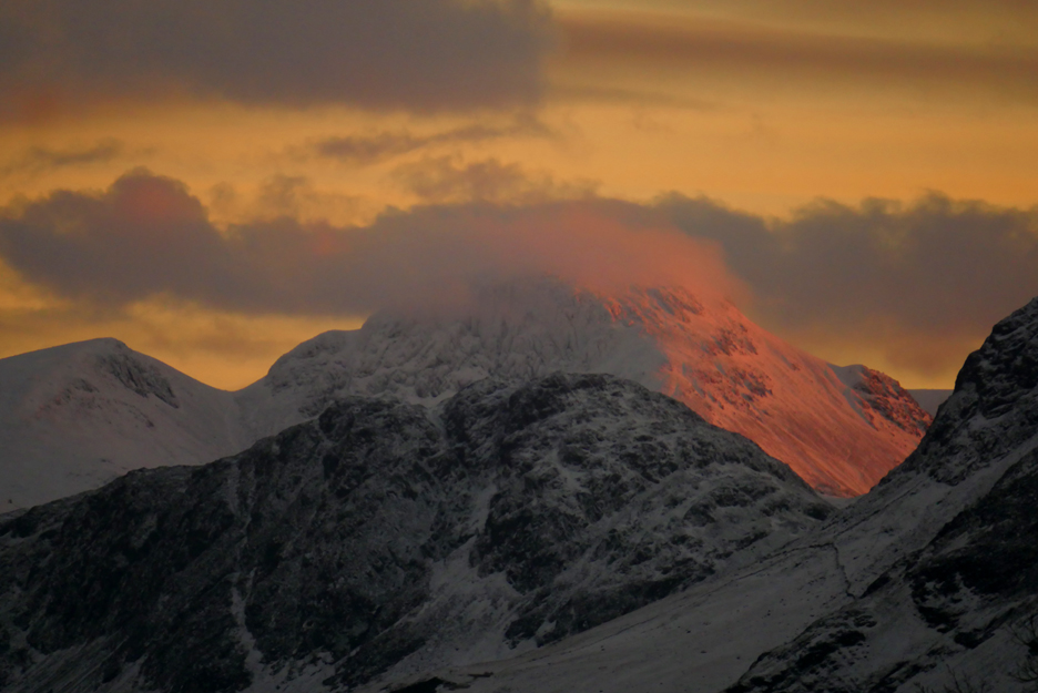
Just after 4pm and Great Gable was the last fell in sight catching the early evening colour. What a delightful two days of wintery weather we've enjoyed in The Lakes this week. Many thanks for all your emails and FB comments in recent days. - - - o o o - - - |
|
Technical note: Pictures generally taken with my Panasonic Lumix Gx8 Camera. Resized in Photoshop, and built up on a Dreamweaver web builder. This site best viewed with . . . a grandson as walking companion for the day. Go to Home Page . . . © RmH . . . Email me here Previous walk - 8th January - Winter Wonderland (Loweswater) A previous time up here - 29th March 2011 Lowe Alpine / Fishers Latrigg Walk Next walk - 12-14th January - Ling Fell and Shopping
|