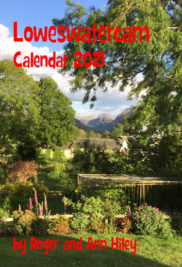
![]()

Remember: Press F11 for a full
screen view of this page.
Web Counter when published 1 819 250
|
|
|
Remember: Press F11 for a full
screen view of this page. |
Web Counter when published 1 819 250 |
|
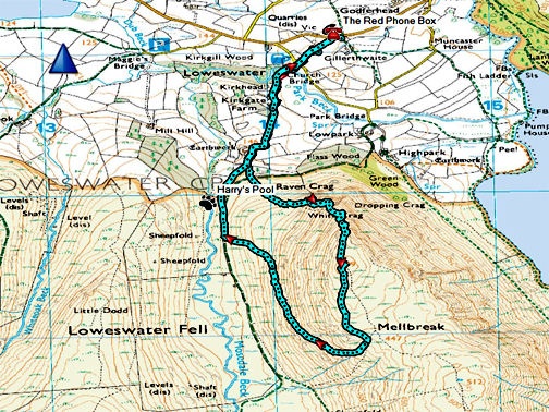
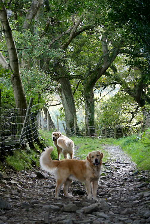
" Mellbreak and the Kestrels " Date & start time: 4th October 2020. 2.15 pm start. Location of Start : By the red phone box, Loweswater, Cumbria, Uk. ( NY 143 211 ) Places visited : Kirk Head Farm, Mellbreak (north top), the traverse path back down. Walk details : 3.75 mls, 1325 ft of ascent, 2 hour round trip. Highest point : Mellbreak north summit, 1,666 ft - 509 m. (3m lower than the true top) Walked with : Myself and our dogs, Dylan and Dougal. Weather : Blue skies with summer clouds, lovely warm sunshine. |
© Crown copyright. All rights reserved. Licence number PU 100034184. |
|
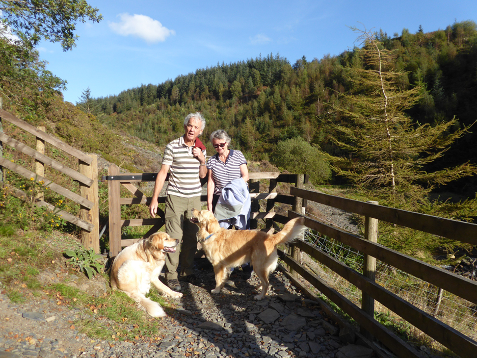
My younger brother Stephen and his wife Elaine have called by for a few nights on their way home from a caravan holiday in North Wales. A short walk on the Saturday took us to Spout Force near Whinlatter. Just the one photo from their visit, "for the record" as our dad used to say !
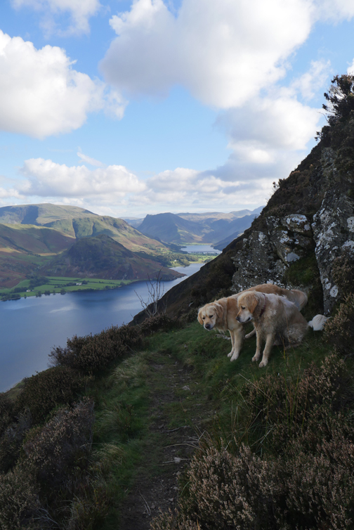
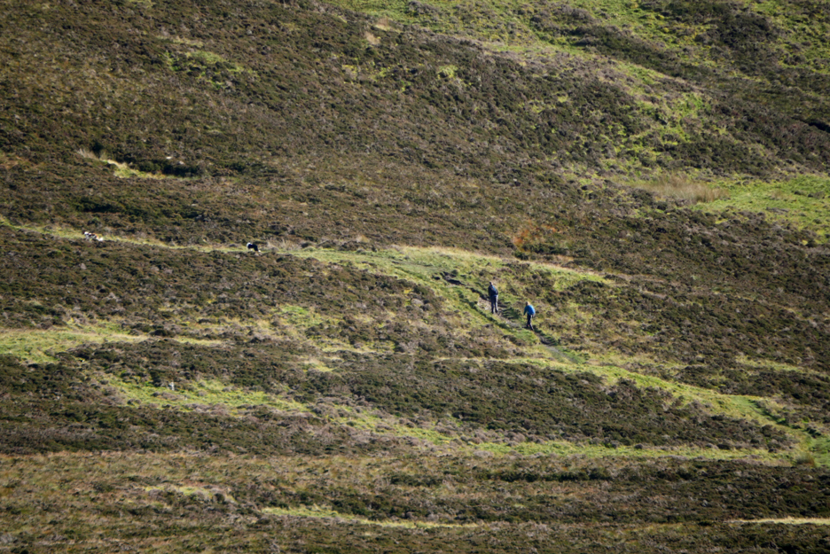
- - - o o o - - - Sunday 4th October was another lovely day, we seem to have had quite a few this year, so I took the opportunity to give the dogs a slightly longer walk with added vertical challenge, climbing Mellbreak for just the second time this year. Apart from the folk in the pub beer garden, a couple on the track and two in the distance on the summit it was just ourselves, the sheep and the wild life out enjoying the sunshine
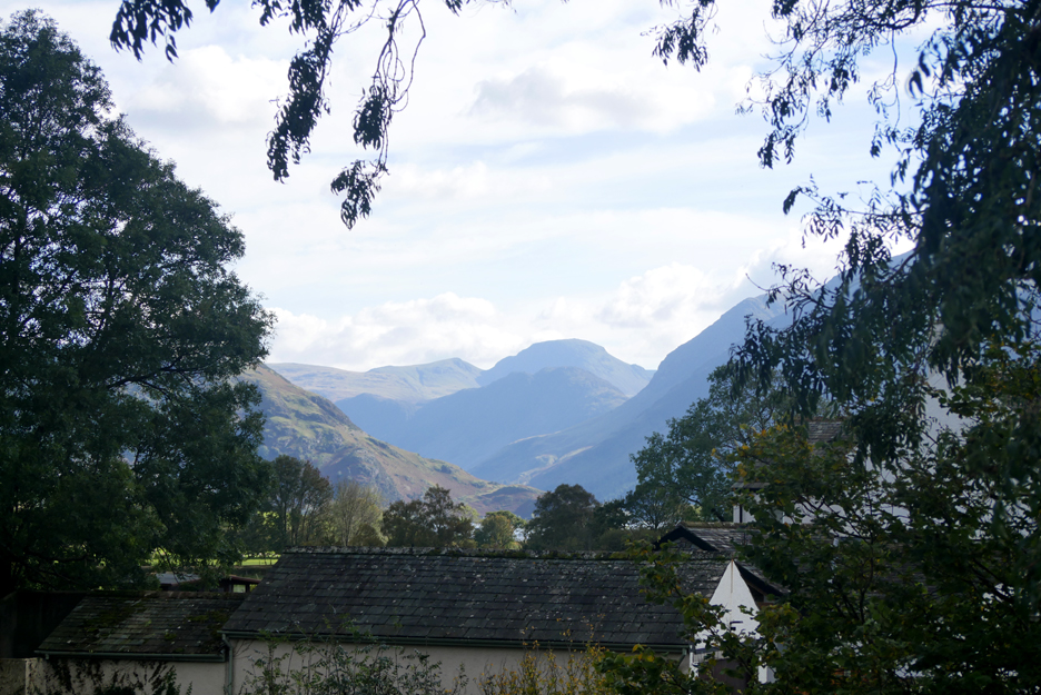
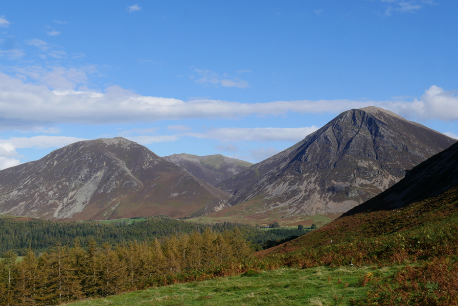
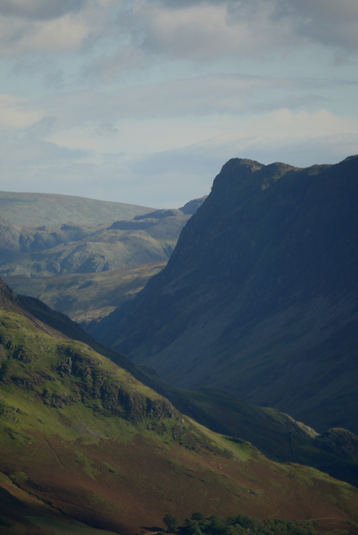
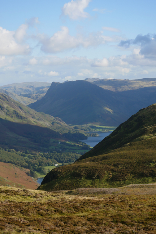
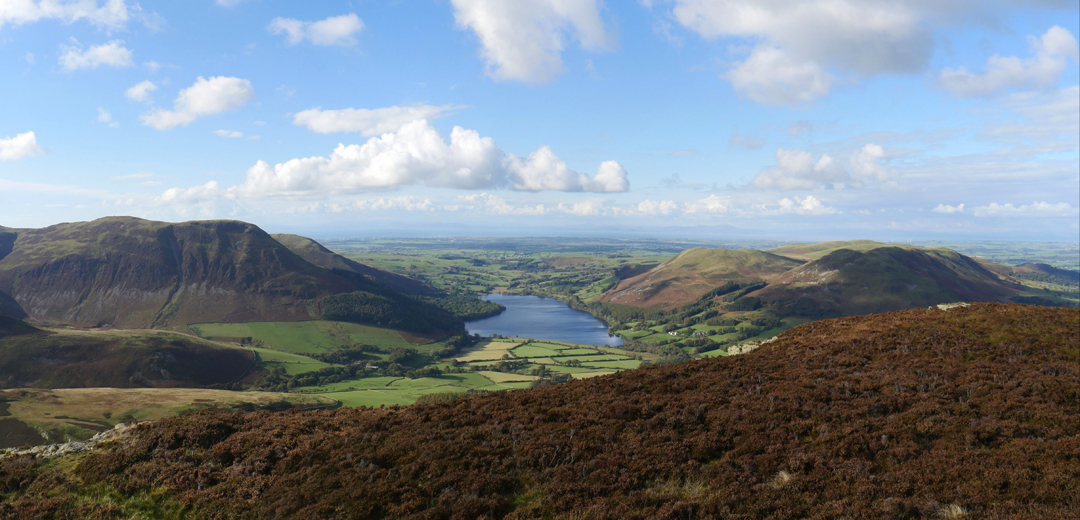
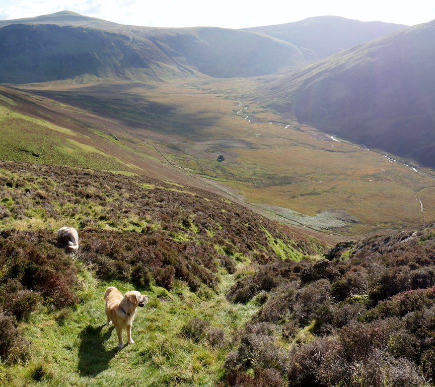
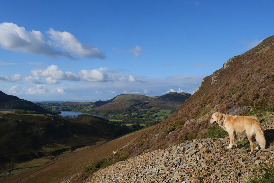
Summer days . . . in October ! Views are clear all the way to the head of the Buttermere Valley and beyond to Brandreth, Green Gable and Great Gable on the skyline.
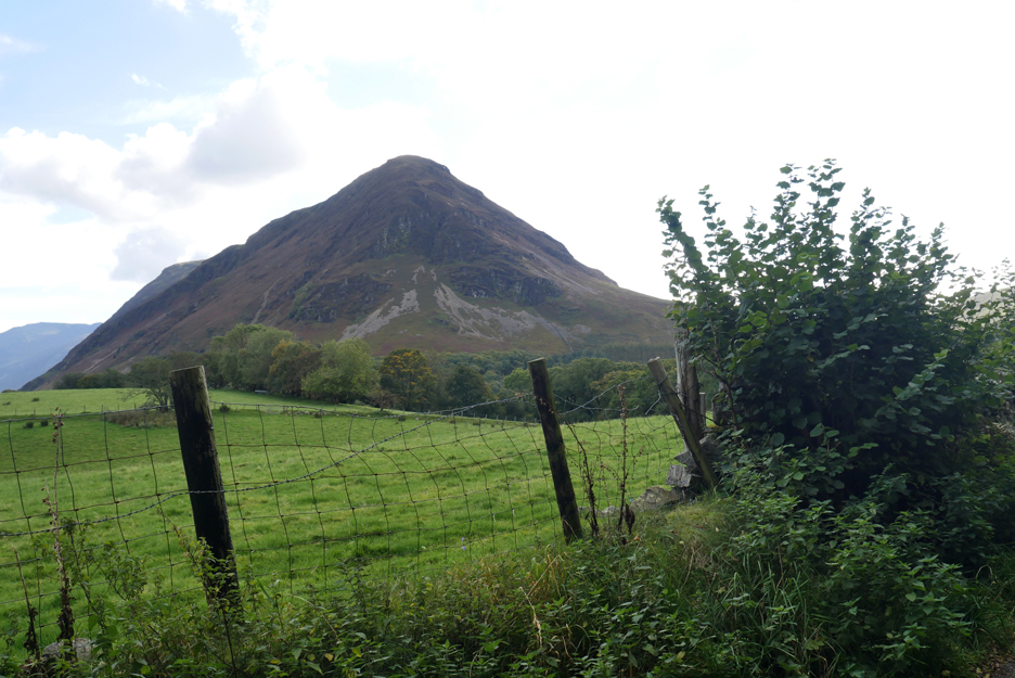
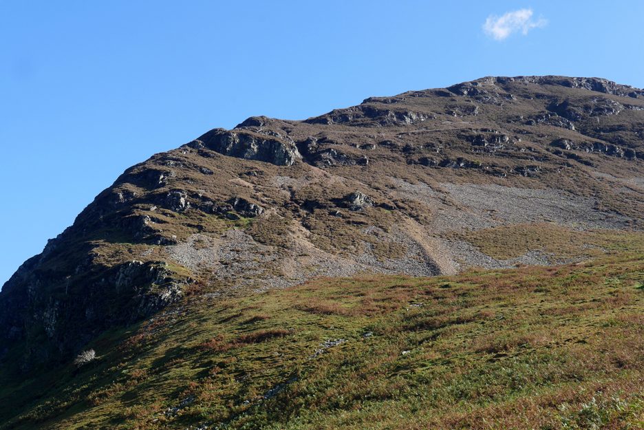
The object of desire today . . . Mellbreak north top, via the direct ascent.
It's not actually his window, but you know what I mean !
Sunny beer garden weather, but after all it's October and jackets are preferred by those sitting out. Current rules allow table service only so beer garden customers have their drinks brought out on request . . . that's posh !
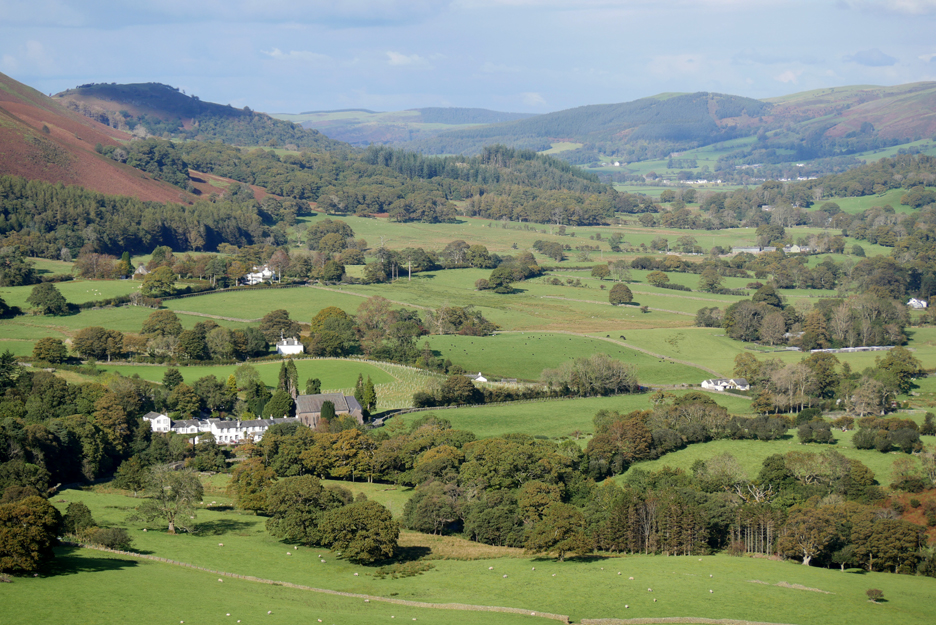
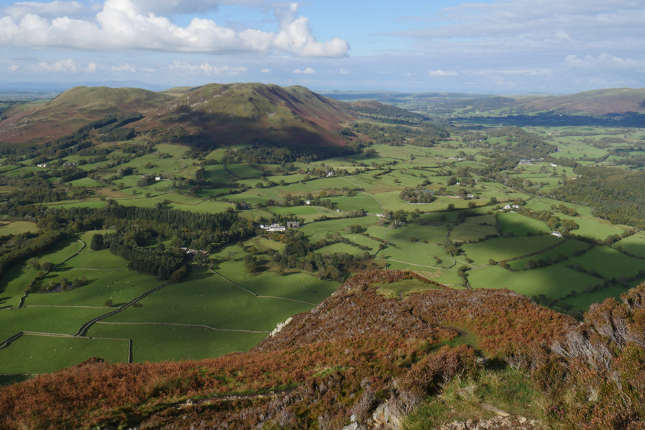
Bright sunshine contrasts with the shade of a passing cloud, as I look across to the Low Park houses towards Crummock Water.
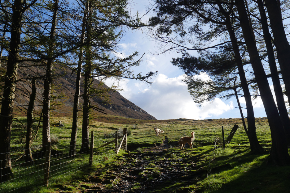
The short, steep climb up through the fire break leads out onto the open fell.
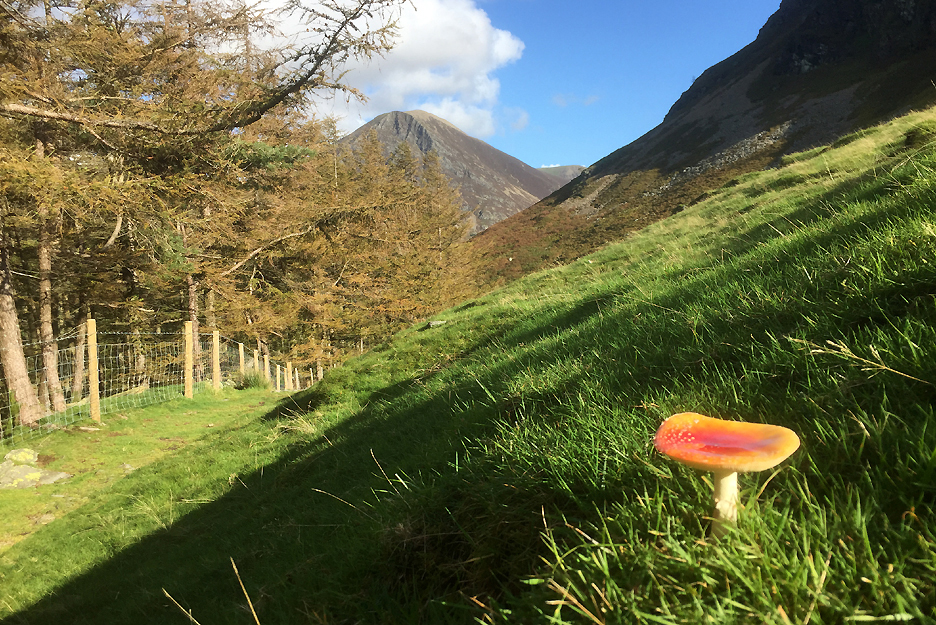
Not mushroom for people up here !
Moving on . . . and up.
The steeper climb of Mellbreak's northern ascent is ahead. [ If you're walking this way try and avoid the main scree as much as possible as it is easier to zig-zag and causes less erosion.]
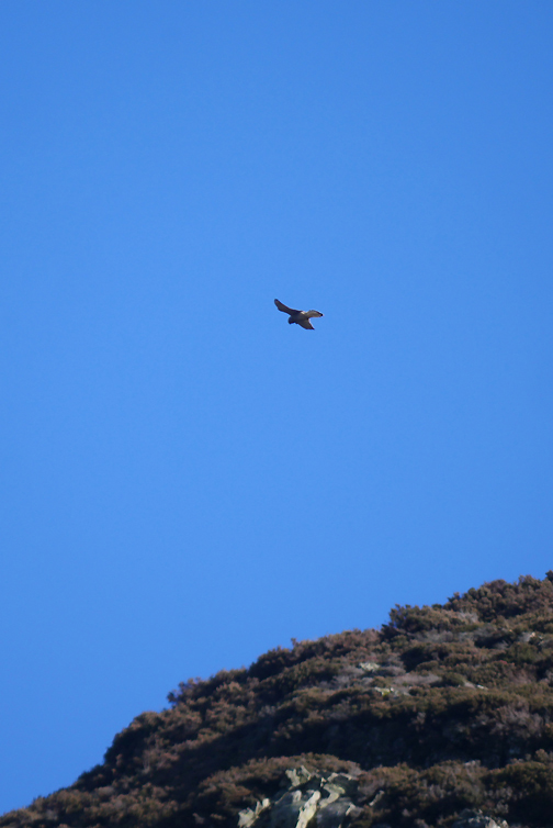
Suddenly above me not one, but two birds of prey . . . my first thought was that they were peregrines.
That kestrel's eye view of the Lorton Valley though I have a feeling his sight was keener and more directed to the ground immediately below him.
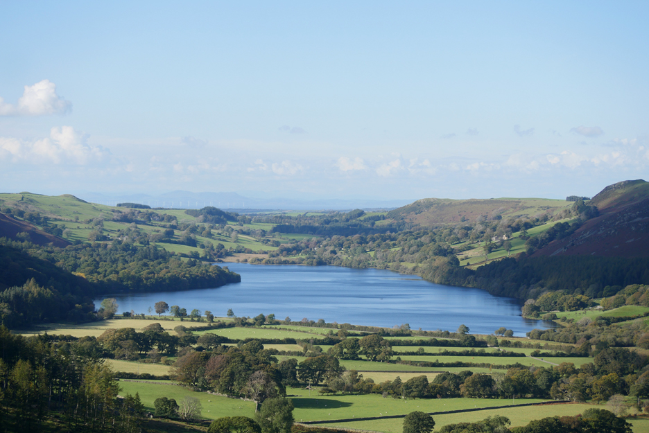
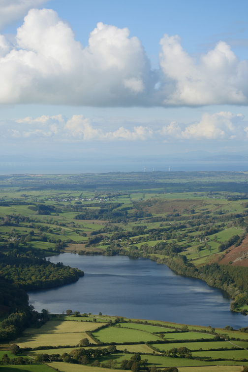
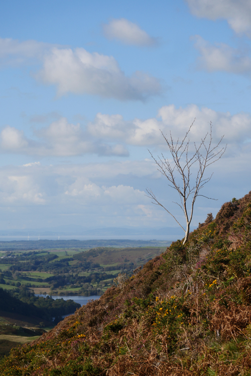
My eye was drawn as ever to Loweswater and the distant view of Scotland beyond the Solway.
Mountain bear . . .
No . . . just Dylan exploring off-piste.
Looking at the Low Park houses once again but this time from high up from the ominously named "Dropping Crag".
Deep contrast next door . . . the houses of High Park are captured by the shadows of this steep but lovely mountain ascent. I'm standing on the flatter section of shadow, just to the left of the notch.
Dougal has carried a stick up all the way from the woods. Just for fun (and if it works for you) try pin-pointing where he dropped it. Bear in mind Dylan also could be looking with envious eyes ! Hold your cursor over the right hand picture to see if you guessed correctly. [ P.s. don't mark a cross on the screen . . . it is so difficult to get it off afterwards.]
Onward and upward and as we do the view gets more extensive.
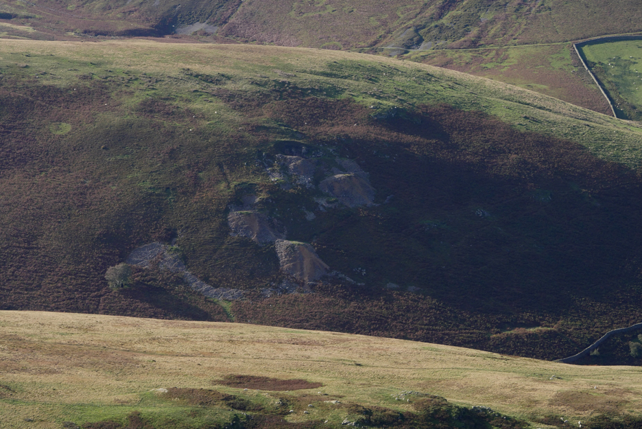
The old White Oak Lead Mines, seen on the spur between the White Oak and High Nook valleys.
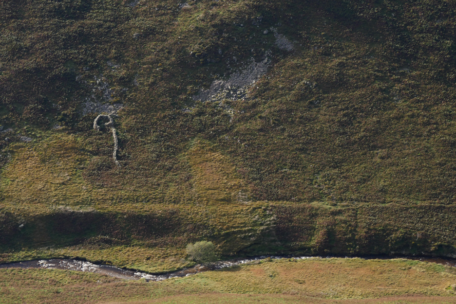
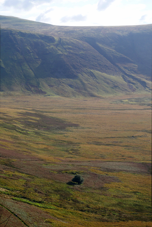
The "question mark" sheep fold below us in the Mosedale Valley. The level path above the stream is another old lead mine track, this time to the old workings in the Mosedale Valley itself.
At the summit now. You can just make out the lead mines to the left of the picture, on the spur between ourselves and Carling Knott.
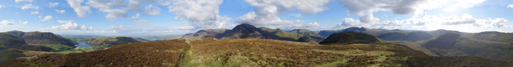
The summit view this fine day. Click here or on the photo above for that special Loweswatercam large 360 degree annotated panorama [ Press your back-space key afterwards to return here.]
Very few people about considering the crowds of recent days. Perhaps the nice weather has encouraged all the other walkers to go for the higher fells. I spoke to one guy on the way up and saw this couple and their dog in the distance, heading for the southern and true summit. Apart from that there was no-one about.
We divert from the path half way along the ridge and head down the fellside towards home. On past descents I've stayed on the main path for longer but a new trodden path seemingly heads directly down to the dry gully. ( I descended here 30 yards to the slight rock step and then took the traversing path above the step and headed off to the right.)
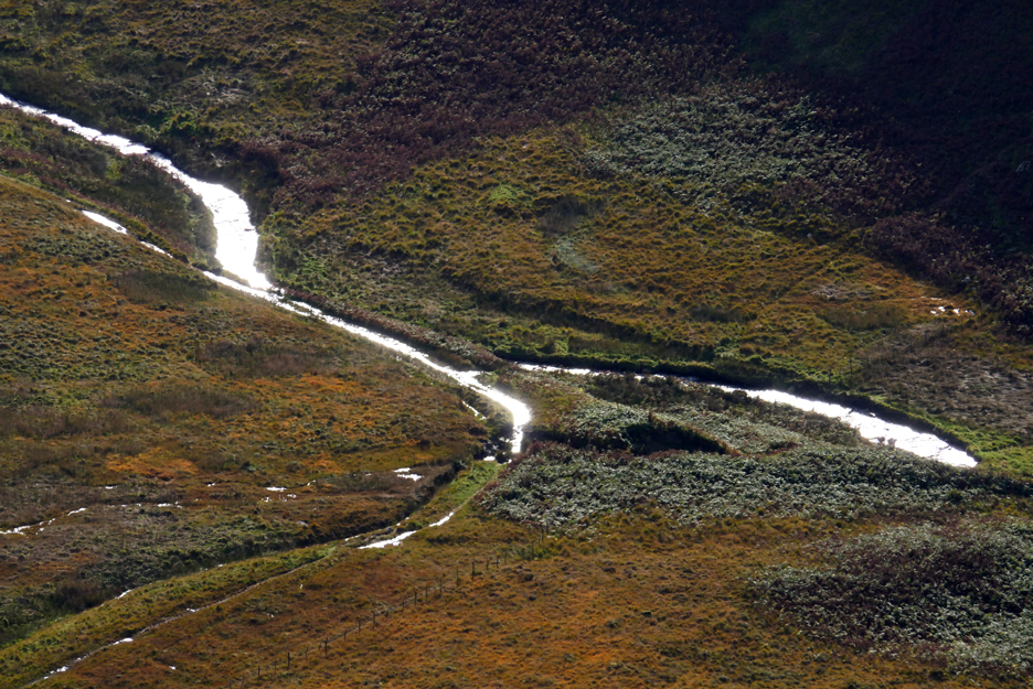
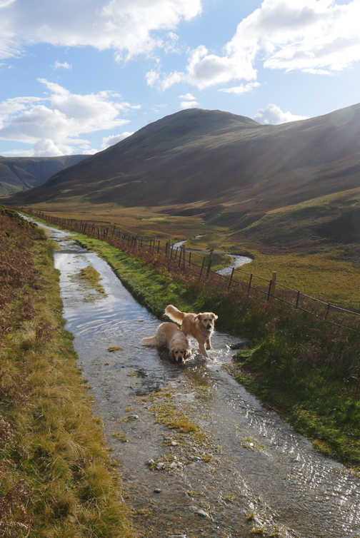
From here the sun is at such an angle that it sparkles on the Mosedale Beck and the standing water on the Ennerdale bridleway track.
" Are you up here to enjoy our fell too ? "
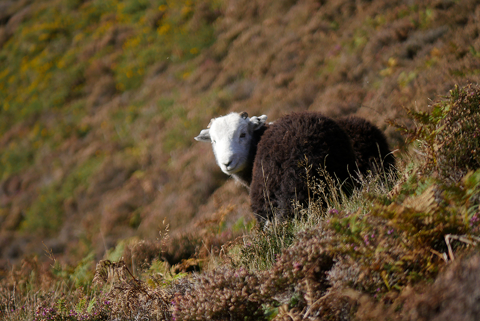
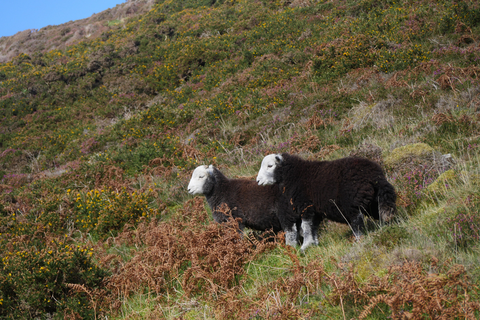
As we walk towards it, what appeared to be one turns out to be two Herdwick sheep which then move from the path and allow us to continue on our way.
The path gradually descends but so does the valley. As a consequence you don't seem to be getting nearer your desire objective, that of the track below.
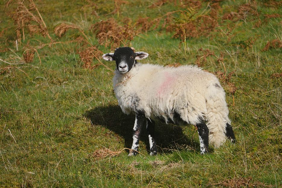
Lower down, this Swaledale deserved to be photographed too.
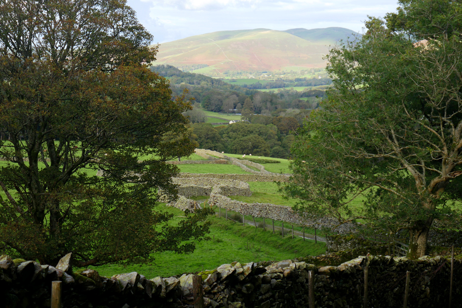
Darling Fell and Low Fell fill the picture as we head back past "Harry's Pool".
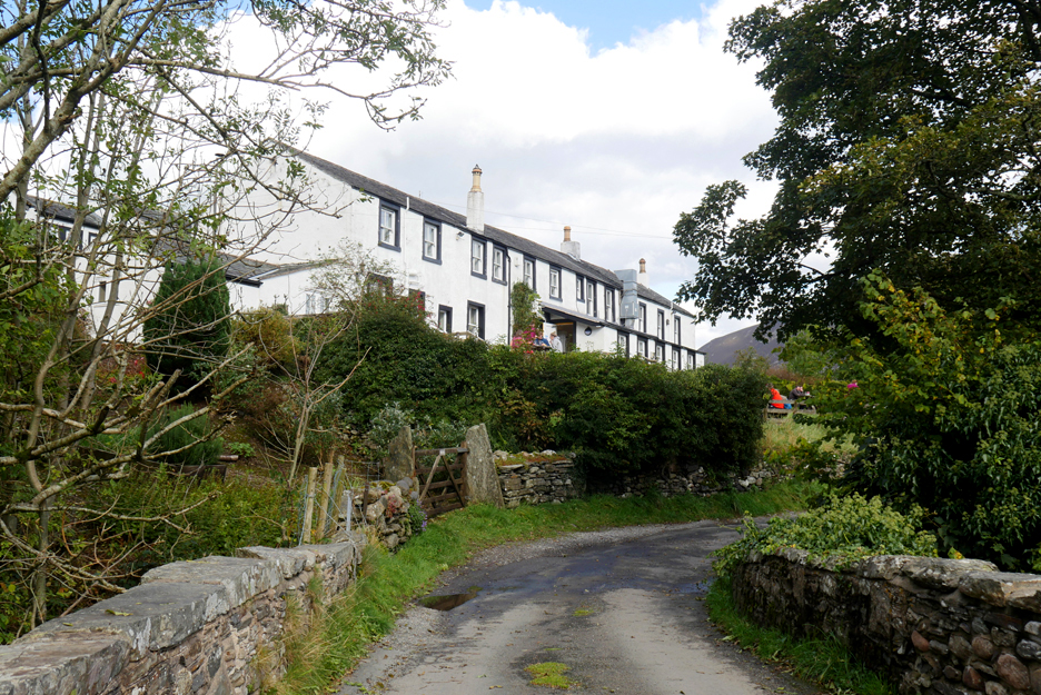
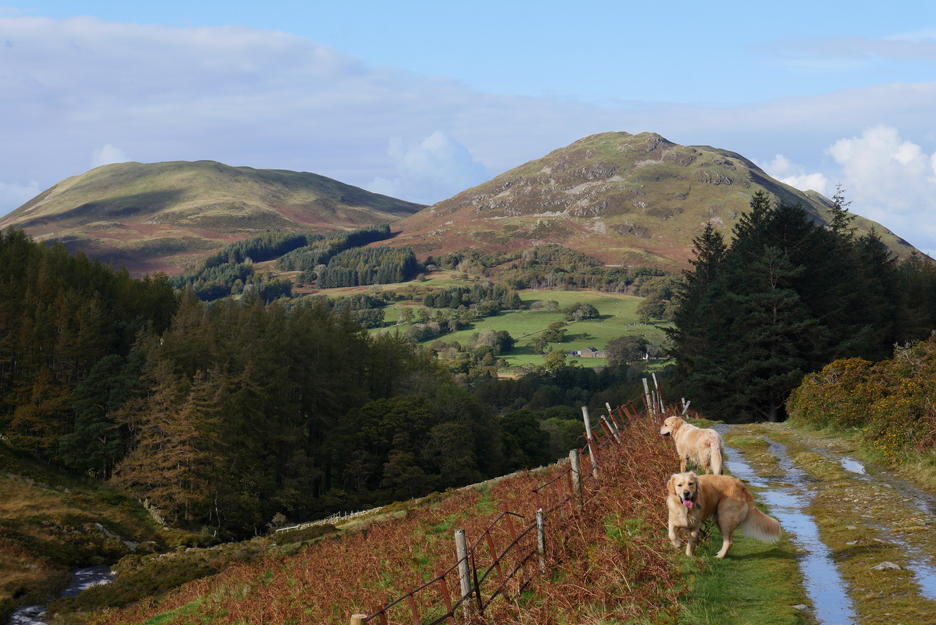
Just follow the yellow brick road . . . the track between the walls . . . and we'll soon be home to the cottage, seen here in this final photo of the day. - - - o o o - - -
|
|
Technical note: Pictures taken with my Panasonic Lumix Gx8 Camera. Resized in Photoshop, and built up on a Dreamweaver web builder. This site best viewed with . . . the addition of a kestrel or two. Go to Home Page . . . © RmH . . . Email me here Previous walk - 27th September 2020 - An afternoon Ennerdale Ramble A previous time up here - 22nd March 2020 - Under Mellbreak on a Spring Day Next walk - 11th October 2020 - Pottergill and Pine with Hilton
|