![]()

Remember: Press F11 for a full
screen view of this page.
Web Counter when published 1 808 121
|
|
|
Remember: Press F11 for a full
screen view of this page. |
Web Counter when published 1 808 121 |
|
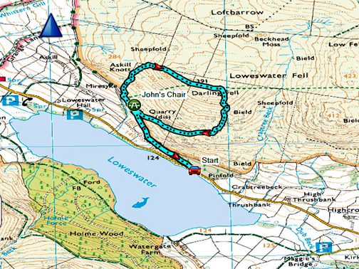
" Jon's Chair and on to Darling Fell " Date & start time: 30th August 2020. 5 pm start. Location of Start : Roadside at the Mosser Track, Loweswater, Cumbria, Uk. ( NY 128 218 ) Places visited : Jon's Chair, the old Mosser track, Darling Fell, and the return by the quarry. Walk details : 2.25 mls, 880 ft of ascent, 1 hour 10 mins. Highest point : Darling Fell summit, 1270 ft - 391m. Walked with : Myself and our dogs, Dylan and Dougal. Weather : Overcast but warm, t-shirt weather and no waterproofs ! |
© Crown copyright. All rights reserved. Licence number PU 100034184. |
|
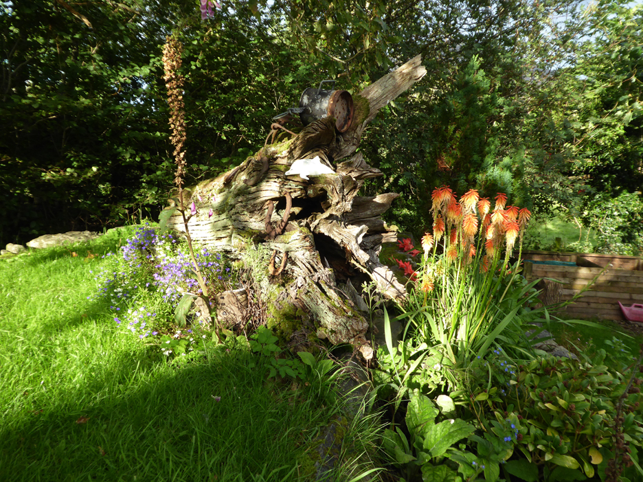
Thanks for logging on to see the next walk. In appreciation I'll show you my garden log, complete with ornaments and flowers, shining brightly in the recent sunshine. Hidden at the base are two sets of old walking boots full of flowers. The old horse shoes I found in this garden (our house was known as "Smithy Cottage" at one time). The white dolphin marks the flood level of the 2009 winter floods . . . well that last bit's not actually true. The dolphin is a pottery piece I made in a ceramics evening class many years back and I thought it was a good place to display the finished piece.
The plants on the right catching the afternoon sun are Kniphofia Uvaria or "red hot poker". The scarlet buds and bright orange, torch-like flowers have taken several years to develop since I first bought the plant. The last ones that grew here I think suffered from past heavy winter frosts. - - - o o o - - - House sorted, fruit picked, (some) weeds cleared to the non-compost pile in the corner of the paddock and so it was time for a walk with the dogs.
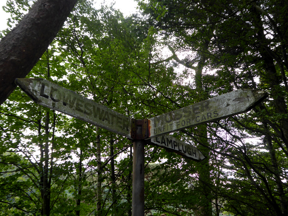
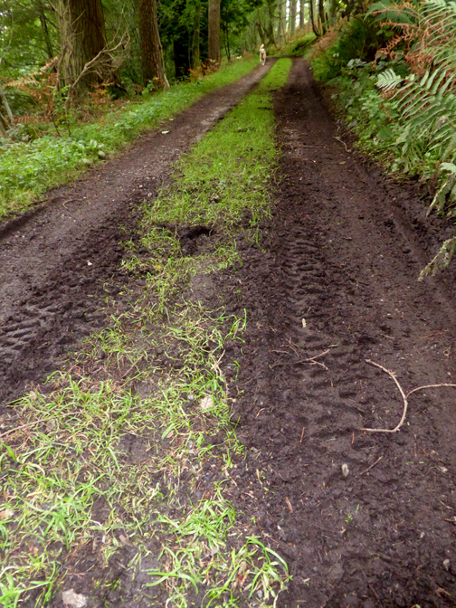
To save on road walking I drove the short distance to the start of the old Mosser road (parking on the roadside). The track is now 'unfit for cars' (true) and if the signpost gets much more green then the sign will be 'unfit for reading' too.
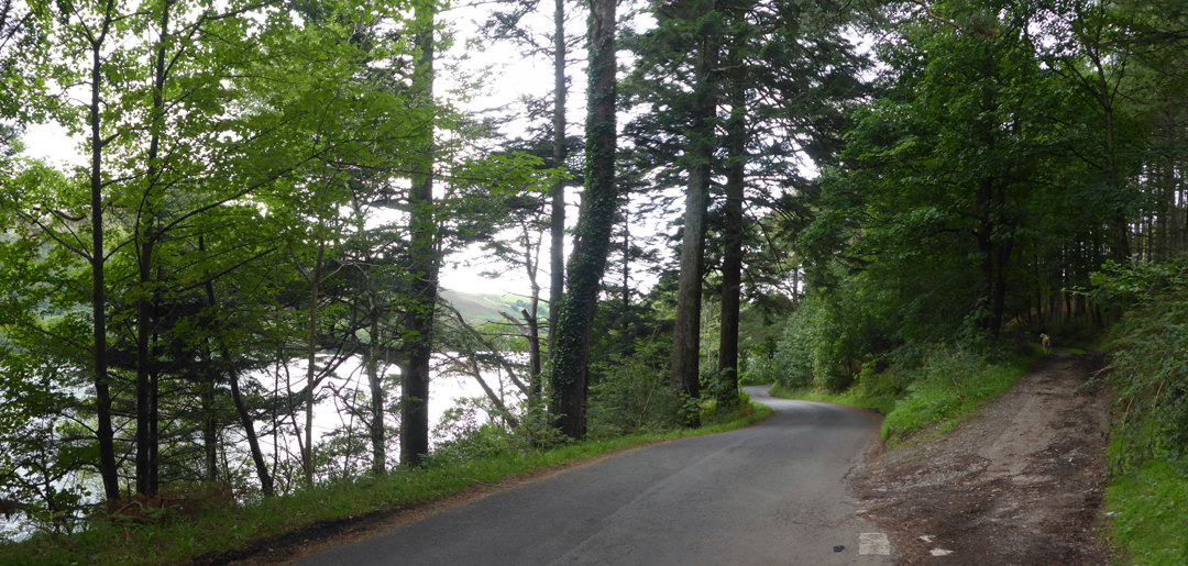
Loweswater to the left . . . the Mosser track sets off into the woodland to the right.
The old track is actually improving as nature fills the ruts with washed gravel. Further up it is a lot worse !
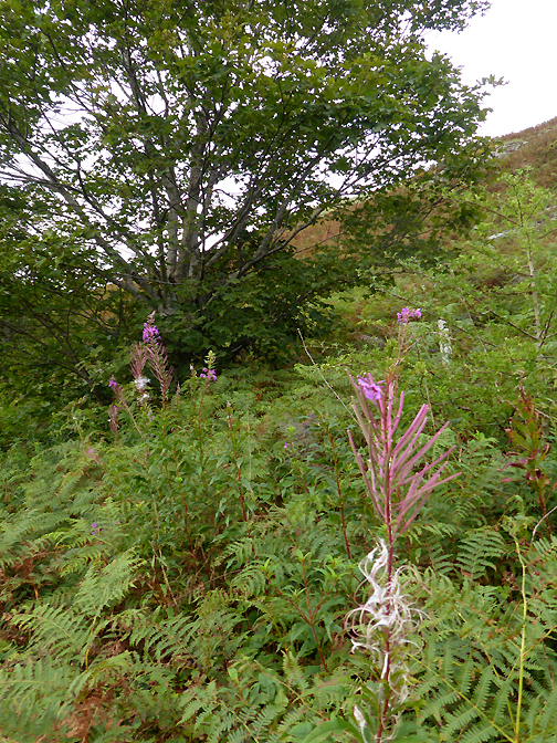
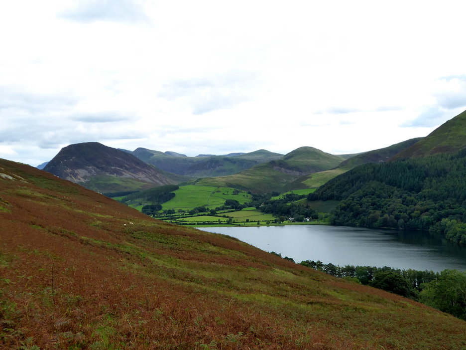
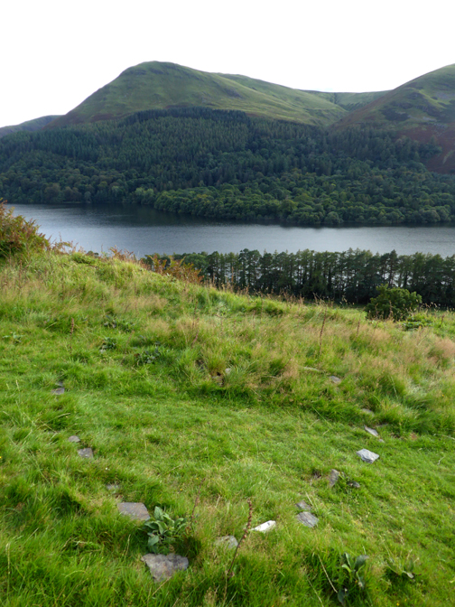
As we leave the woods the view of the lake opens out. This the western or the Hudson Place end of the lake . . . the farm here is suitably called "Waterend Farm". The farm at the opposite end is called "Watergate" . . . all very confusing to newcomers.
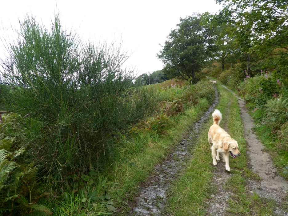
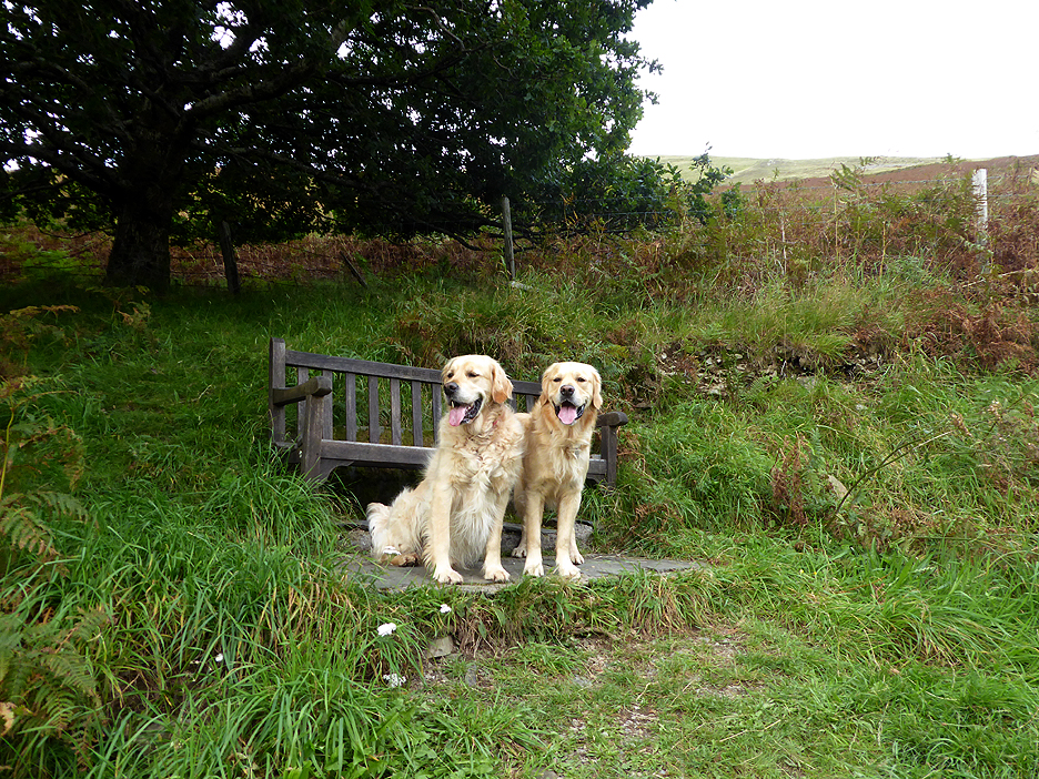
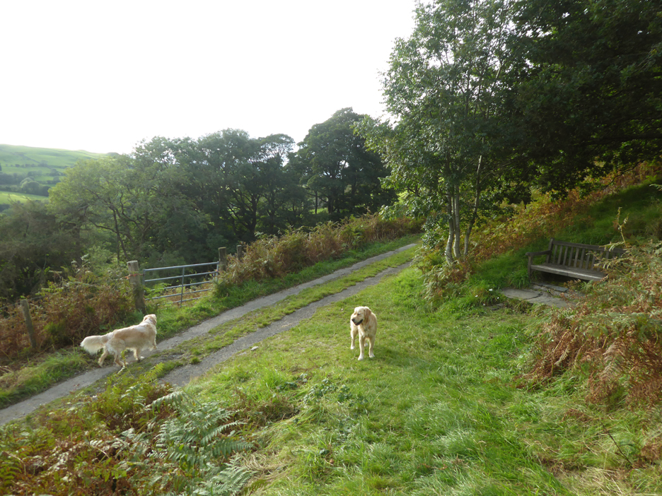
Part way up the lane we reach "Jon's Seat" where the dogs know to sit and expect a 'treat' in exchange for a photo. The dogs must have been walking fast as we've reached here in ten minutes. I think we'll extend the walk a bit today.
The path up Darling Fell starts from a little further up the lane. The Ordnance Survey shows a green dotted right of way from here, up and over the fell, which bears little or no resemblance to path on the ground. Further over it fails to join with the Thackthwaite right of way (green) path on the top of Low Fell and also takes a weird bee-line down the fellside to Pottergill Farm. Strictly map-only navigators beware !
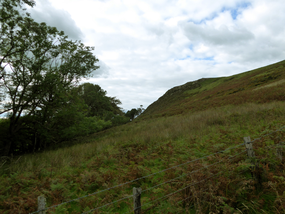
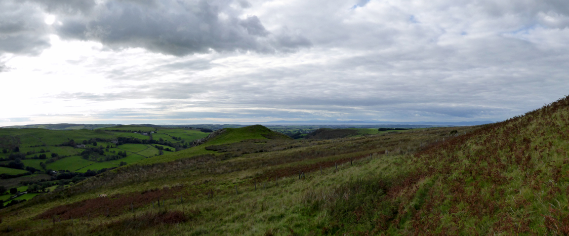
However, following the paths on the ground take me and the dogs on a lovely rising path up the fence line towards the summit.
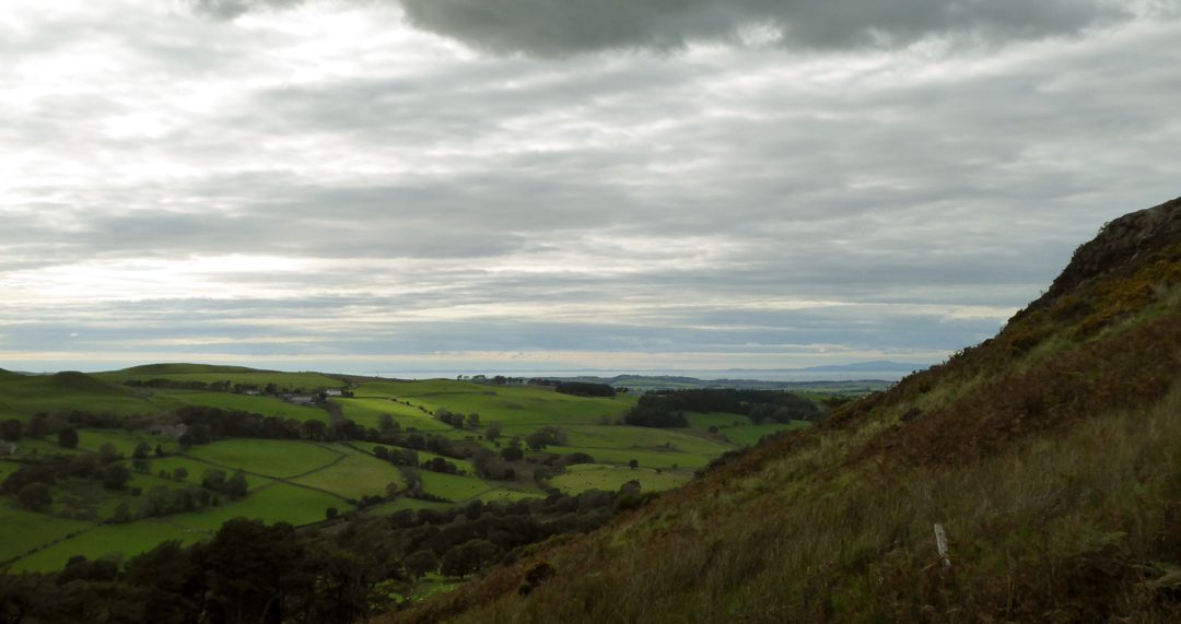
As we climb the views to the north open up nicely . . . that's the Solway Estuary and Scotland on the other side.
The green-topped Askill Knott, above us on the way up, now sinks below the horizon as we continue our ascent.
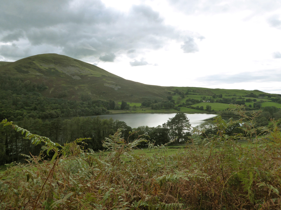
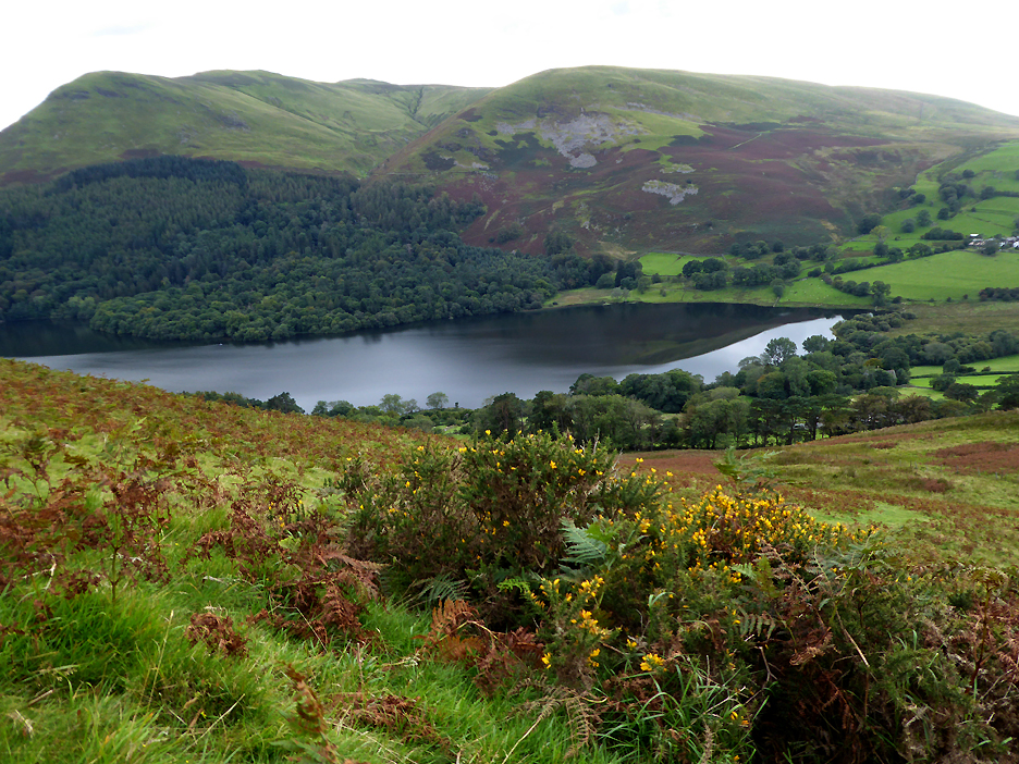
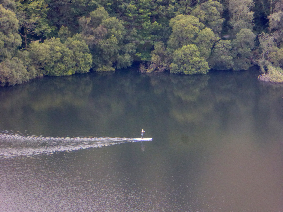
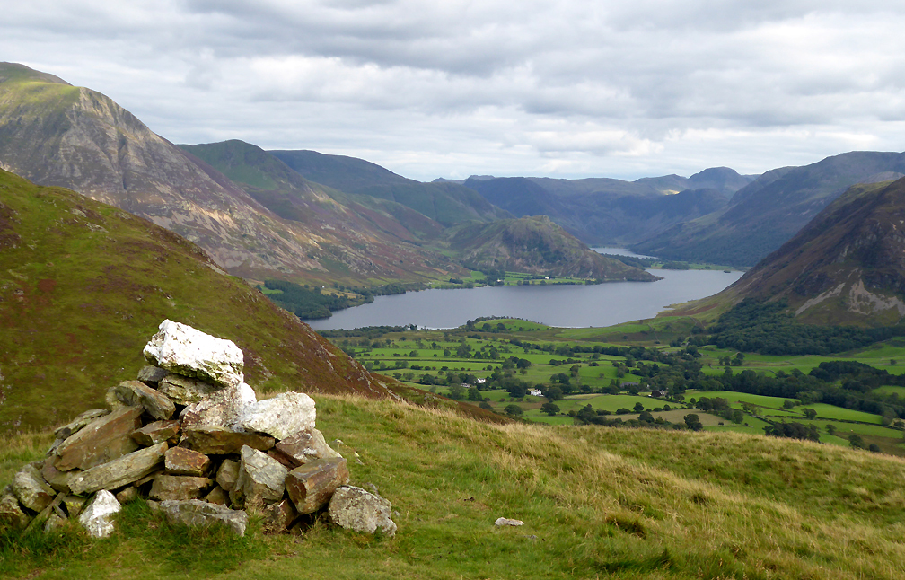
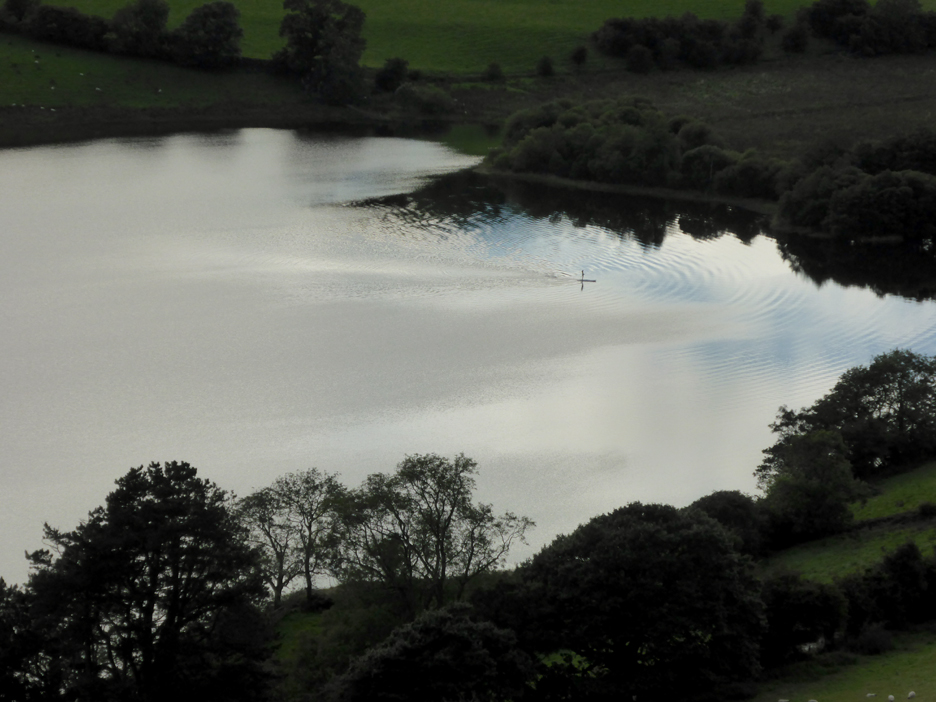
Likewise the summit of Blake, highest of the Loweswater Fells, appears between Carling Knott and Burnbank. A white speck on the water just emerging from the dark, unruffled water to the left, looks a bit like one of the swans that live on the lake.
With my specs on and a maximum (photo-edited) zoom on the camera I can see it is in fact a paddle boarder.
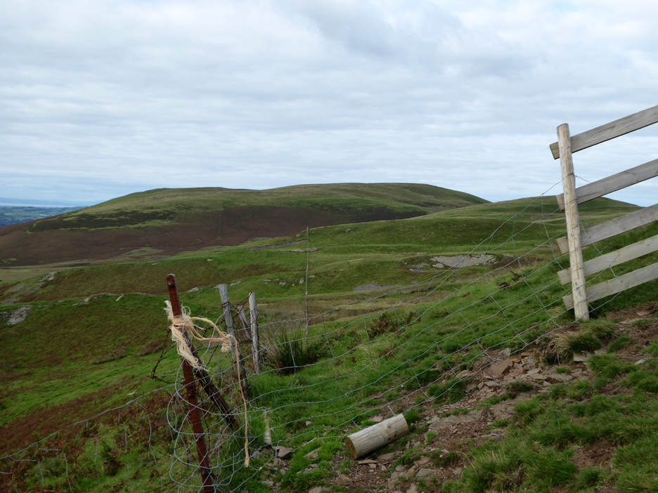
Higher up and after a few stops to catch my breath I'm level with Fellbarrow which is seen here a mile away to the north.
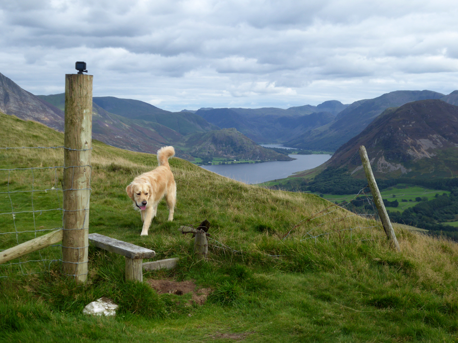
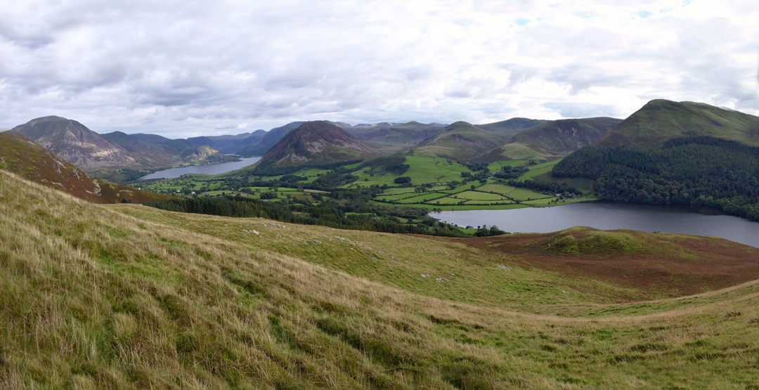
Just a few feet short of the top of Darling Fell is the old broken stile, where the view suddenly changes to include 'diminutive' Rannerdale Knotts across to the 'augmentative' Great Gable. Keen observers might notice a Go-Pro camera seemingly abandoned on the gatepost.
It turned out that it actually belonged to this slightly non-communicative young man who was also videoing Loweswater on his mobile phone. A short conversation informed me that he was trying for a time-lapse of the Buttermere valley which would shortly, for the briefest of moments, include the dogs and I.
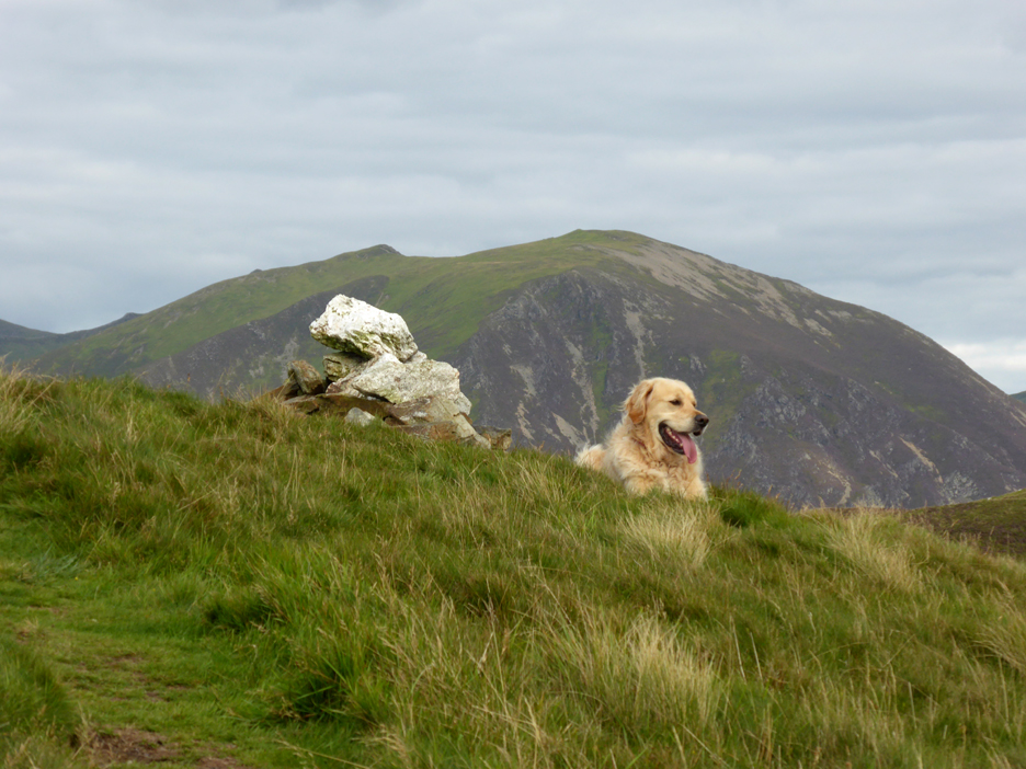
As I approached the summit cairn the white stones vaguely resembled a white Scotty-dog sitting next to Dylan, but looking at the photo now I really have to screw my eyes up tight to repeat the illusion.
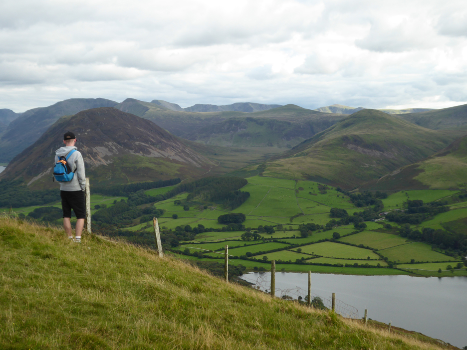
" I can see my house from here " . . . not a bad place for Ann and myself to have to self-isolate this year. It has taken me just over the hour in total to reach the top.
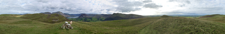
The all-round view from this summit isn't bad either . . . so I've recorded it for you this fine and clear day. Click here or on the photo above for a 360 degree annotated panorama.
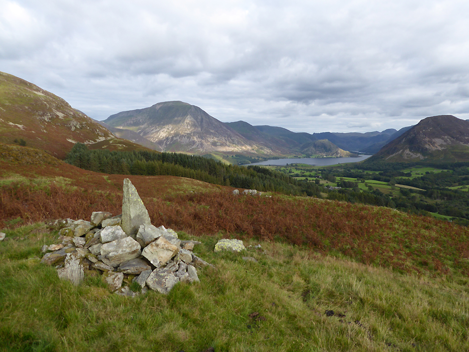
A new cairn to for me to visit. Someone has decided that the slight rise, lower down on the photo before last, was deserving of a summit cairn.
Through the gate and back to Jon's Chair . . . no dog treats this time, they've all gone !
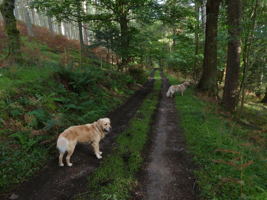
Retracing our steps through the dappled woodland and back to the car. - - - o o o - - -
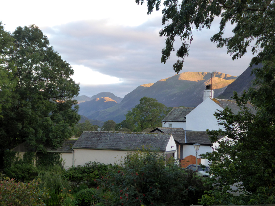
At home, the High Stile ridge catches the strong evening sun as does Haystacks, courtesy of a gap in the fells behind High Crag.
One final task for you (if it works on your computer) is to hold your cursor over the right hand picture for a bit of seasonal advertising ! - - - o o o - - - |
|