![]()

Remember: Press F11 for a full
screen view of this page.
Web Counter when published 1 793 035
|
|
|
Remember: Press F11 for a full
screen view of this page. |
Web Counter when published 1 793 035 |
|
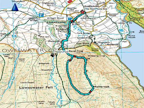
" Return to Mellbreak " Date & start time: 20th July 2020. 3 pm start. Location of Start : By the red phone box, Loweswater, Cumbria, Uk. ( NY 143 211 ) Places visited : Kirkhead, Mellbreak northern top and back via the traverse path. Walk details : 3.5 mls, 1350 ft of ascent, 2 hours. Highest point : Mellbreak's northern summit, 1654 ft -509 m. Walked with : Myself and the dogs, Dylan and Dougal. Weather : Overcast but warm, bit of a breeze, could go either way ! |
© Crown copyright. All rights reserved. Licence number PU 100034184. |
|
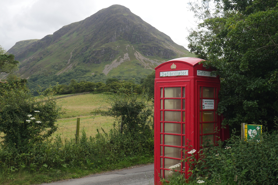
After an unbelievable 52 week gap I finally set off to walk to the top of Mellbreak from our home here in Loweswater. Looking at my Fells Page it was 23rd July last year when I last recorded and ascent of the front of our local fell, my most climbed mountain. 52 weeks . . . how time flies !
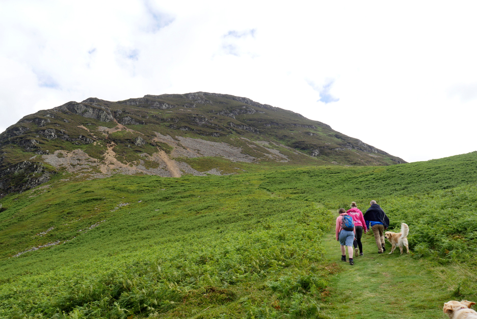
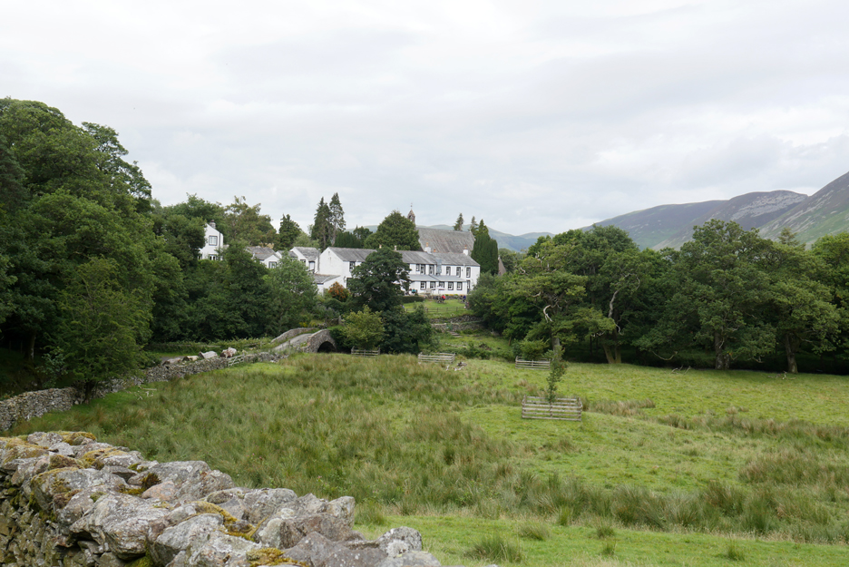
For the first time for ages the start, the fell in question and the route up can all be seen within my first photo.
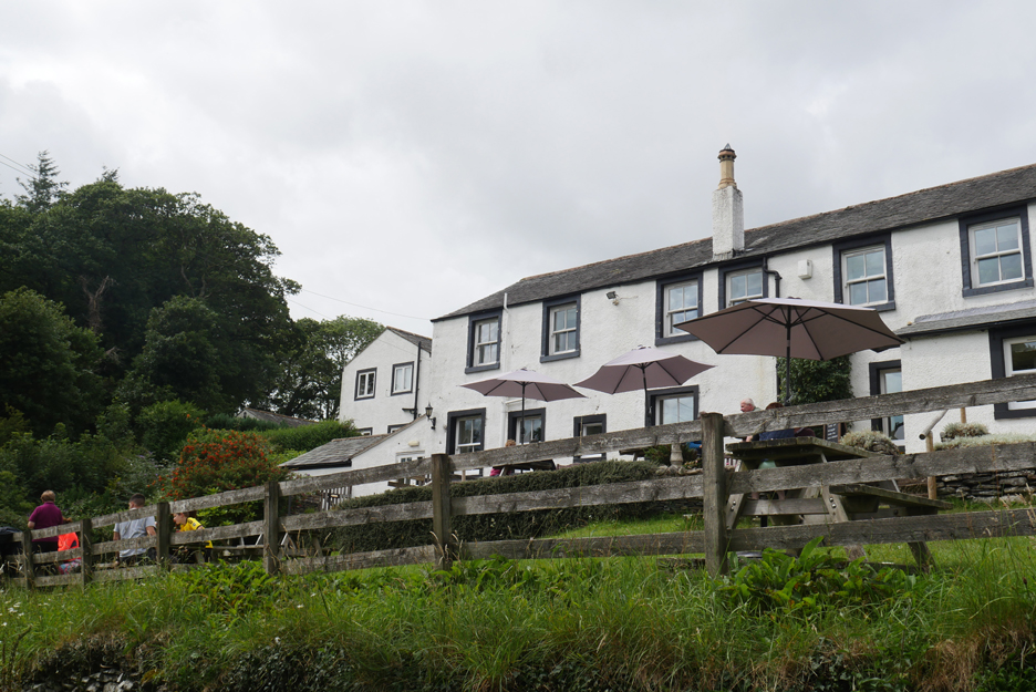
The Kirkstile Inn as I walk the road to the Church and then skirt below the beer garden. It is doing good business and bouncing back now they are once again allowed to be open.
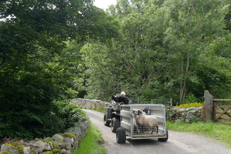
Farming life goes on . . . what did they used to use before quad bikes were invented ?
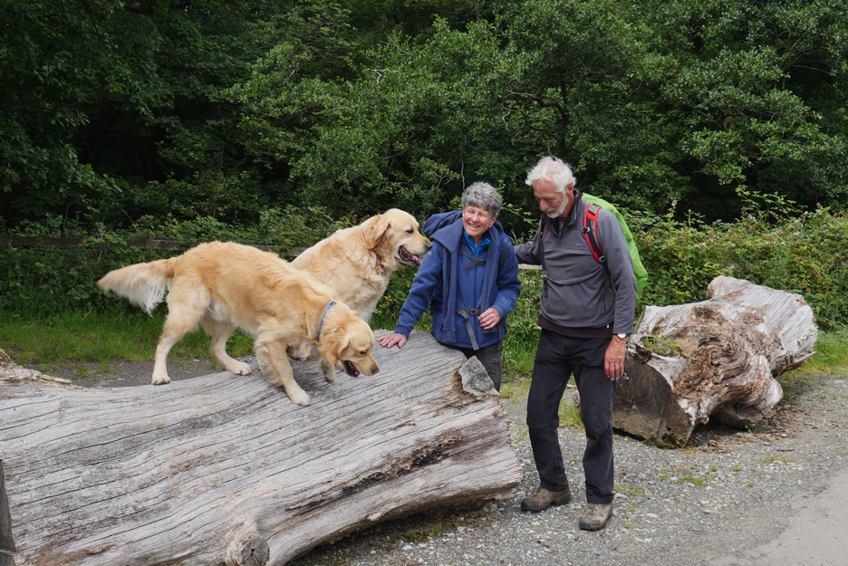
We met up with distant neighbours who were out on a walk from the far end of Loweswater.
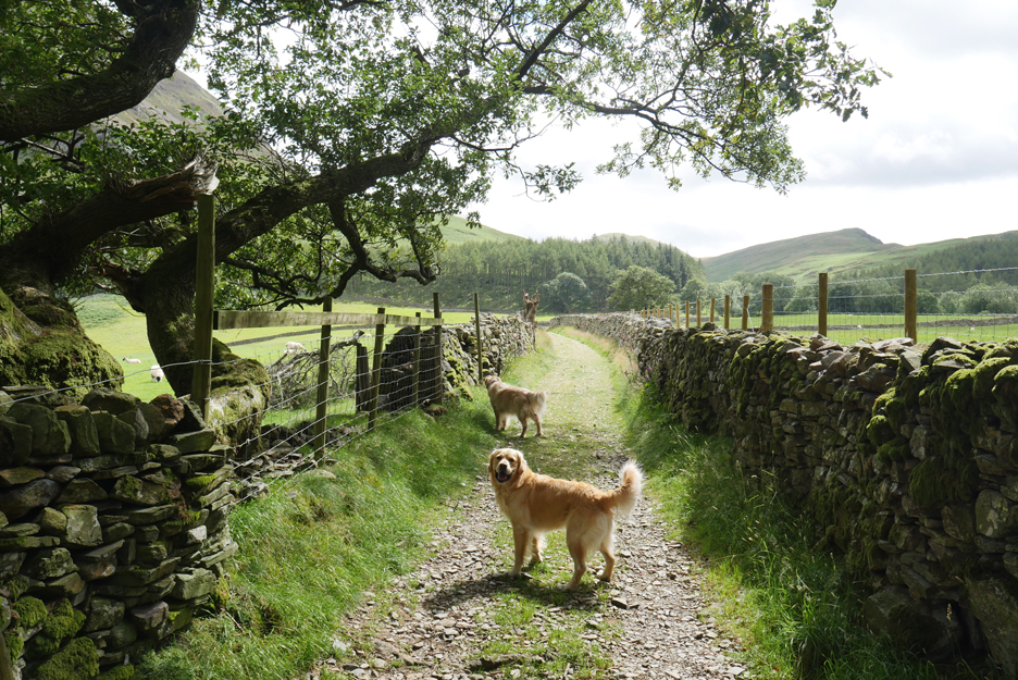
The Kirkhead track, an old bridleway that leads all the way to to Ennerdale though the track is a bit boggy behind Hen Comb nowadays.
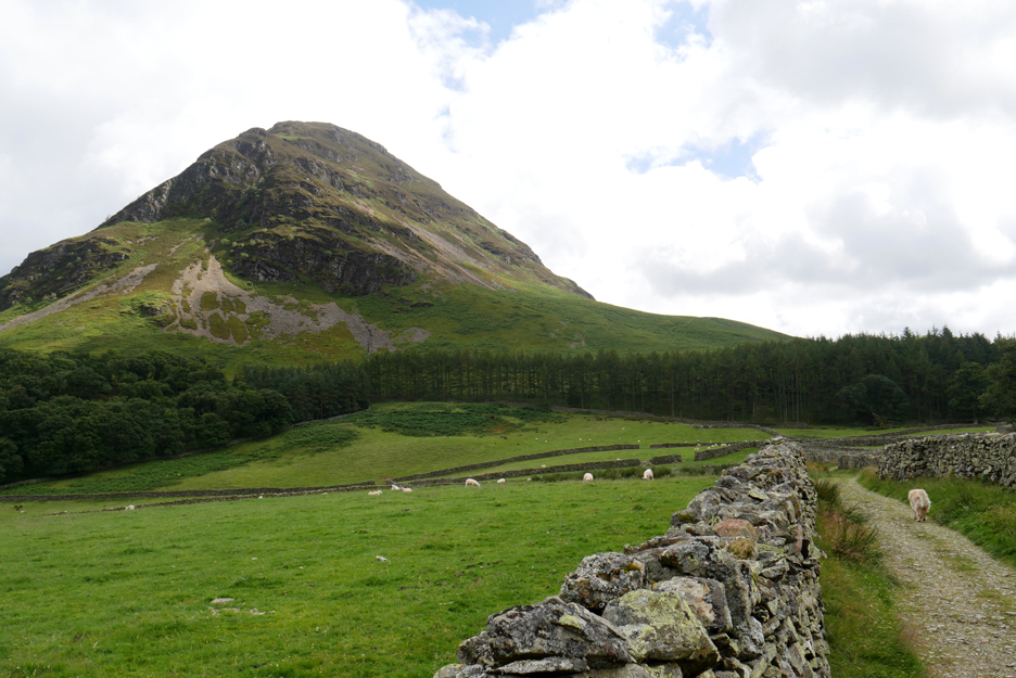
The prospect of the climb up the northern front of Mellbreak. Hold your cursor over the picture to see the route . . . ( it might not work for some computers apparently.)
I catch up with more neighbours, this time ones who's live just a little further from home than the couple I saw earlier. We have a brief chat and they wave me through which was kind . . . unfortunately then it would be rude to hold them up by stopping for photos. As a consequence I notice that I'm not as fell-fit as I thought . . . so I breathe a little faster in order to stay ahead !
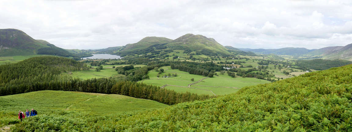
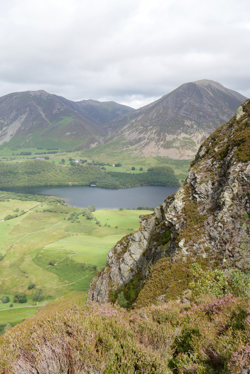
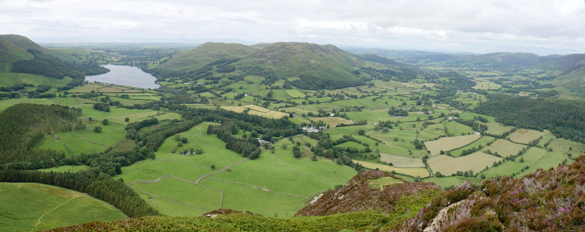
The panoramic view back across the Loweswater area. The lake is now in view to the left, Lorton Valley to the right, the pub now far below me in the trees.
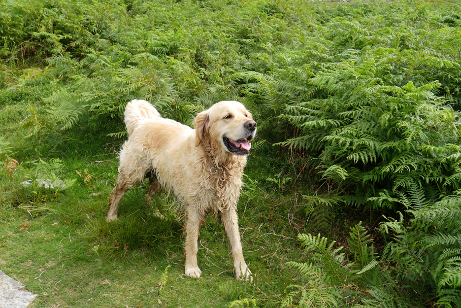
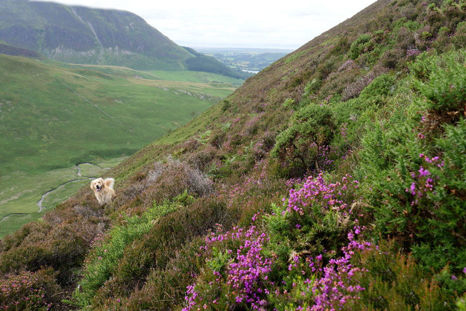
Despite not being up here for quite some time, Dylan remembers a muddy spring on the fellside, where he can get a drink and wallow in the water. My dry and recently brushed dog is looking rather disheveled once more !
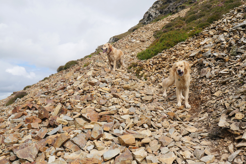
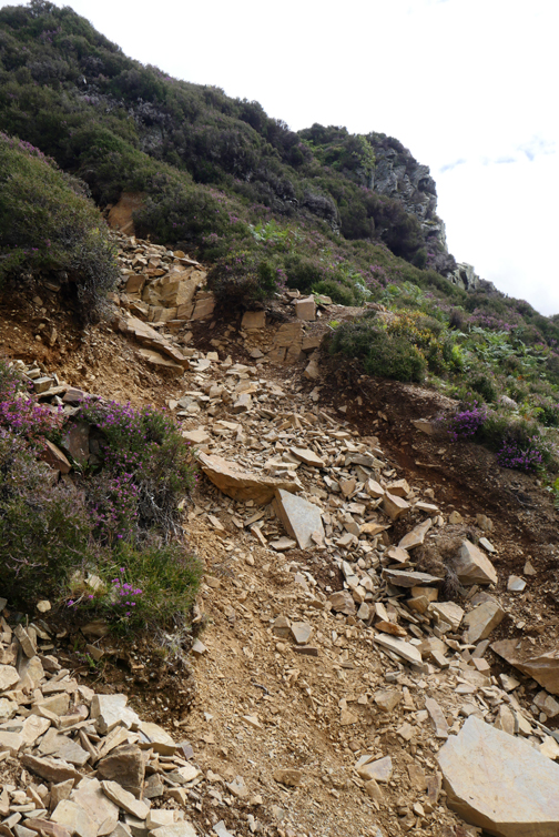
The climb up the northern face of Mellbreak alternates between path and scree. It always amazes me how fast the dogs can cross this type of surface without any form of protection on their feet. If a boot maker could patent the secret he would make a fortune.
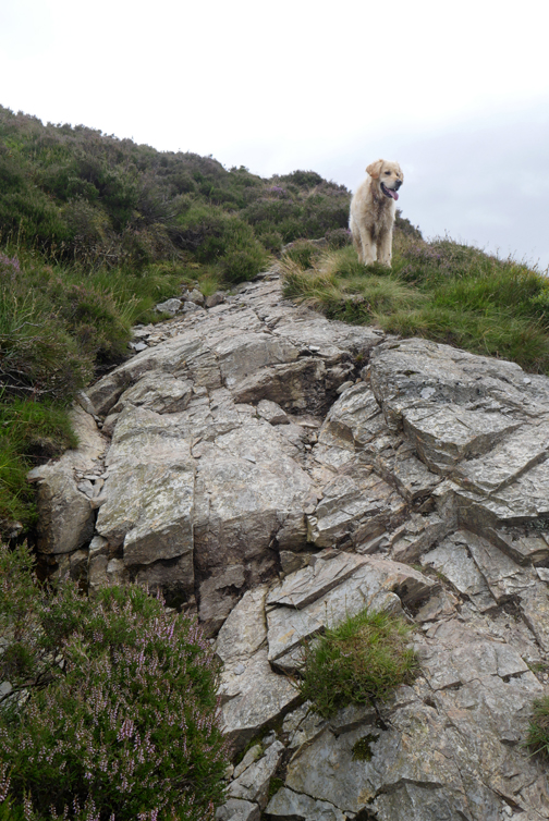
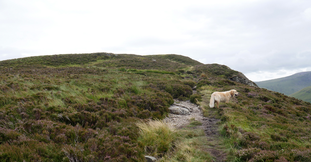
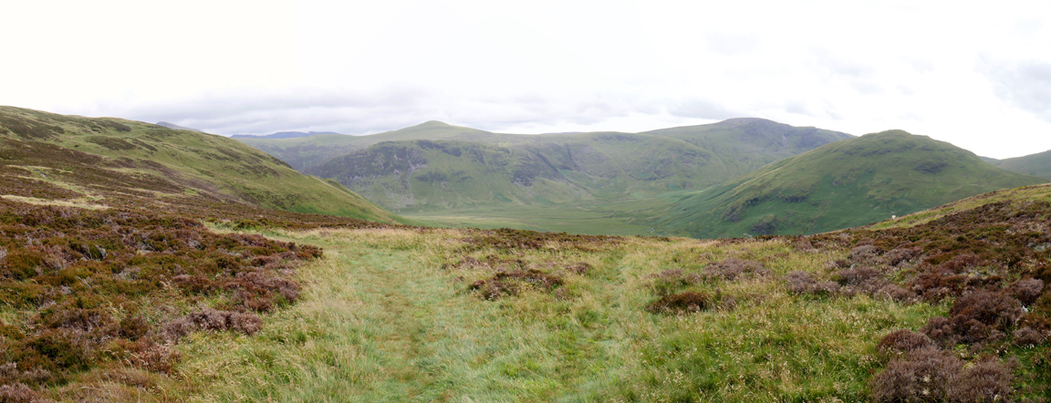
A change to landscape mode tells you the flatter ground has been reached. ( Full marks if you notice the subtle use of 'form' to convey 'concepts' )
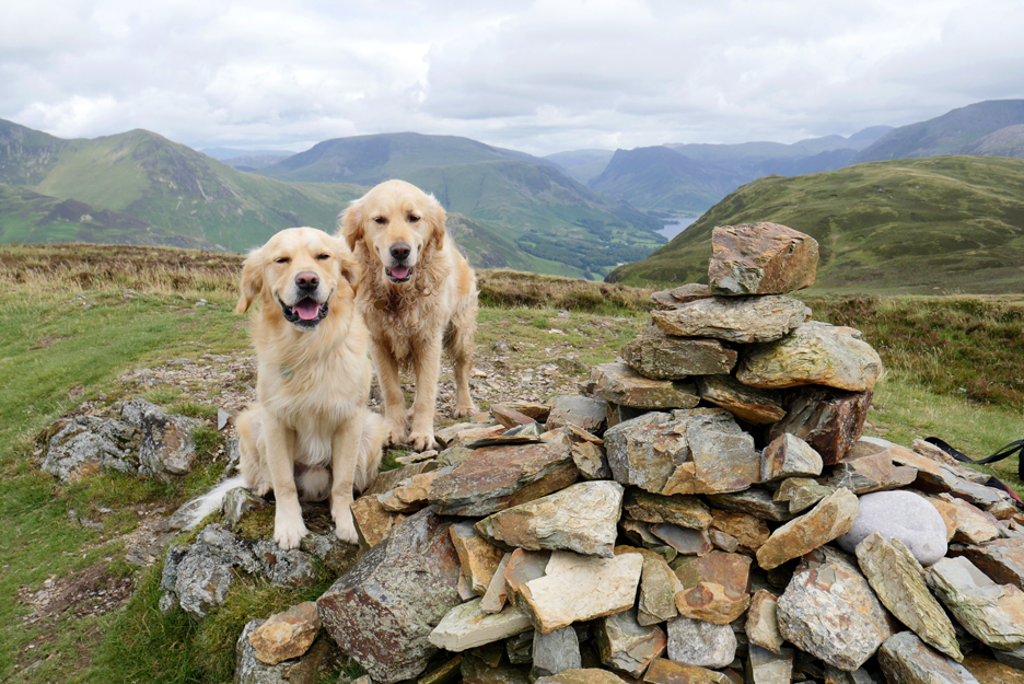
We made it . . . the highest point of the walk has been achieved as we reach the northern summit of the fell. There's life in the old man yet !
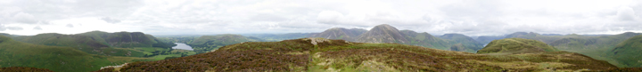
While I enjoyed the view I took the opportunity to record it too. Click here or on the photo above for a 360 degree annotated panorama.
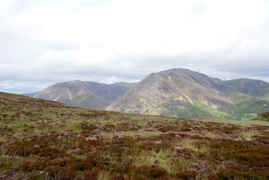
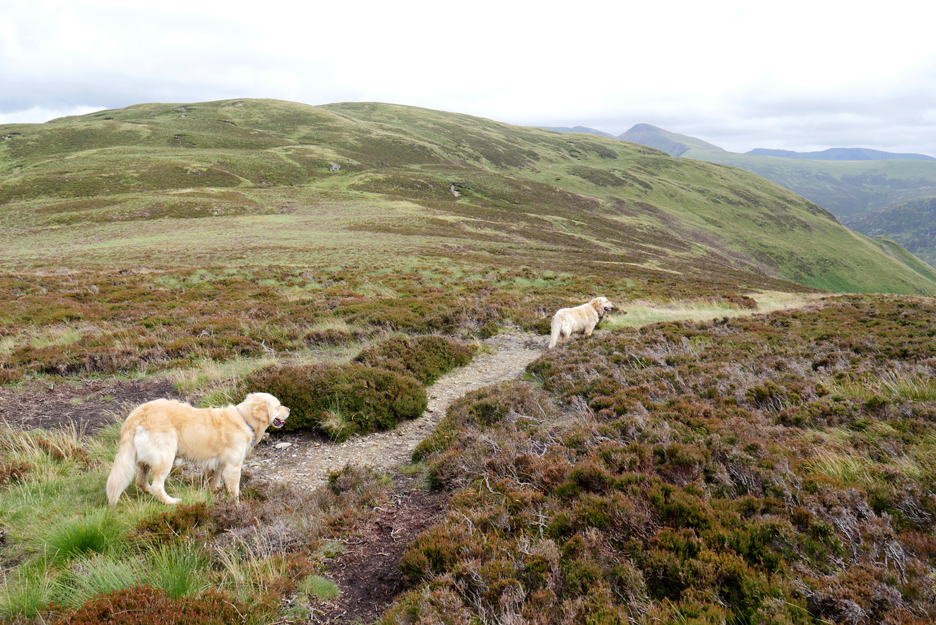
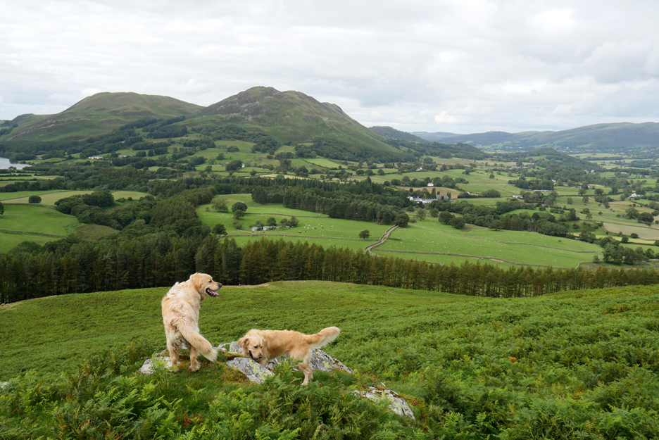
Time to be moving on, catching a sideways glance at Grasmoor as the dogs and I head down towards the centre of the fell.
My trusty companions lead the way.
A Wainwright "bifurcation", a parting of the ways, a path junction. Take a left for the true summit, an extra 10 feet in height and twenty minutes or so in time, or take the right to fall off the edge of the fell in a controlled fashion and reach the valley floor below, some twenty minutes sooner.
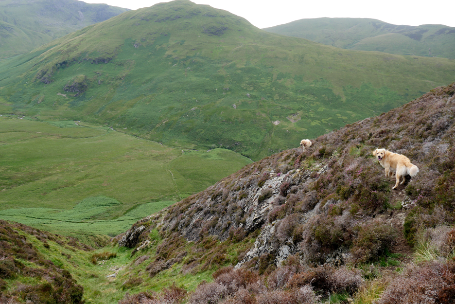
The direct path follows a dry gully from the flatter middle saddle of Mellbreak. When it starts to get seriously steep there's a more gentle path (where the dogs are) that begins a gradual traverse of the western side of the fell.
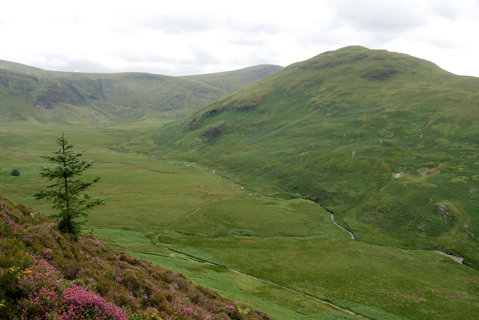
It rounds the corner high above Mosedale. A fir tree must have germinated from seed dispersed by birds as there are precious few other in the area to have achieved wind dispersal. Just in view to the left is the famous Mosedale Holly, given its own individual symbol on the 1:25k map of the area.
The traverse path is less distinct than I remember, presumably due to covid-reduced footfall and good summer growth. The heather on this side of the fell is starting to burst with colour, along with a few dwarf gorse bushes adding bright yellow to the mix.
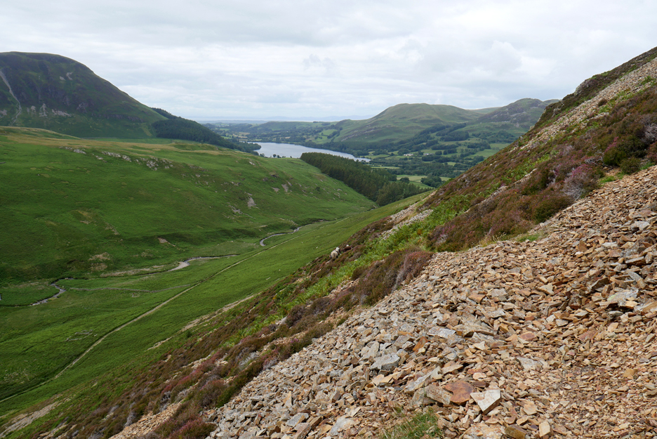
More scree on this side of the fell. The path occasionally undulates but does gradually fall towards the valley floor.
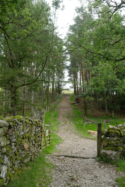
Today I stay on a higher sheep track and reach the bluff where we look down on the gap in forestry and the path we used on the way up. The full circle of the walk almost complete, it just remains for the dogs and I to retrace our footsteps towards home.
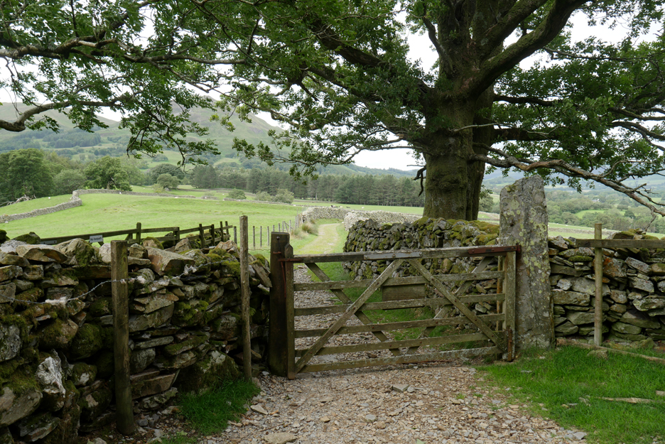
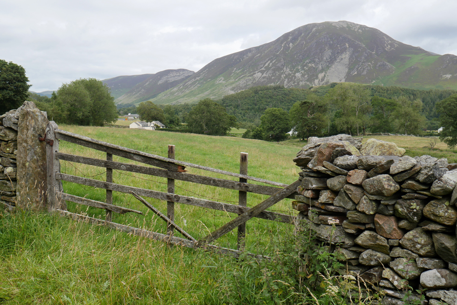
Back to the fell gate, closed this time, then on down the lane.
The Kirkstile in view once more. There are less people in the beer garden as it is nearing five o'clock. The visitors have either gone back to their accommodation or have moved inside for a meal.
The length of one more field to walk and it will be time for me to provide our two with their evening meal too. - - - o o o - - - |
Technical note: Pictures taken with my Panasonic Lumix Gx8 Camera. Resized in Photoshop, and built up on a Dreamweaver web builder. This site best viewed with . . . last year's pictures to compare the changes. Go to Home Page . . . © RmH . . . Email me here Previous walk - 14th July 2020 - Long How - Buttermere A previous time up here - 23d July 2019 - Hot Mellbreak, Dee and John Next walk - 21st July 2020 - Scale Hill Walk
|