![]()

Remember: Press F11 for a full
screen view of this page.
Web Counter when published 1 778 380
|
|
|
Remember: Press F11 for a full
screen view of this page. |
Web Counter when published 1 778 380 |
|
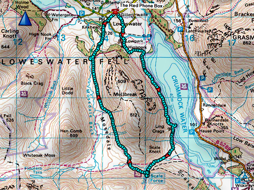
" Around Mellbreak "
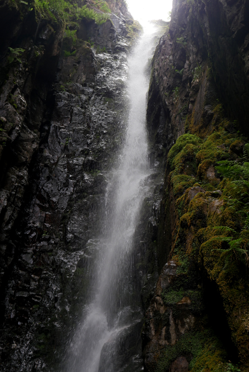
Date & start time: 2nd June 2020. 1.30 pm start. Location of Start : By the red phone box, Loweswater, Cumbria, Uk. ( NY 143 211 ) Places visited : High Nook, Low Ling Crag, Scale Force back via Mosedale. Walk details : 6.5 mls, 900 ft of ascent, 3 hours 30 mins including stops (swims). Highest point : The coll above Scale Force, Walked with : Myself and the dogs, Dylan and Dougal. Weather : Overcast with occasional sun, warm except in the cleft of the waterfall. |
© Crown copyright. All rights reserved. Licence number PU 100034184. |
|
Chance to take the dogs for a longer walk around Mellbreak. It was still warm so it is a 'shorts and t-shirt walk'. Having lunch before I left meant I just carried the camera, the lightest of windproofs and a biscuit . . . easy going today. With all the recent fine weather the moss of Mosedale should be firm and dry too, so no wet footwear in prospect.
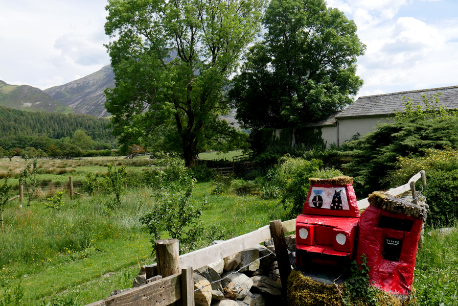
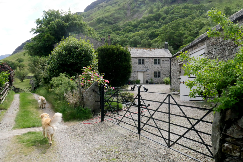
The paddock is taking care of itself at present and I just give the paths an occasional cut with the mower. The grass has grown rather long but there are some flowers in there to add colour to the scene and pollen for the insects. I head off past Gillerthwaite (The Old Post Office) across the fields at the start of the walk.
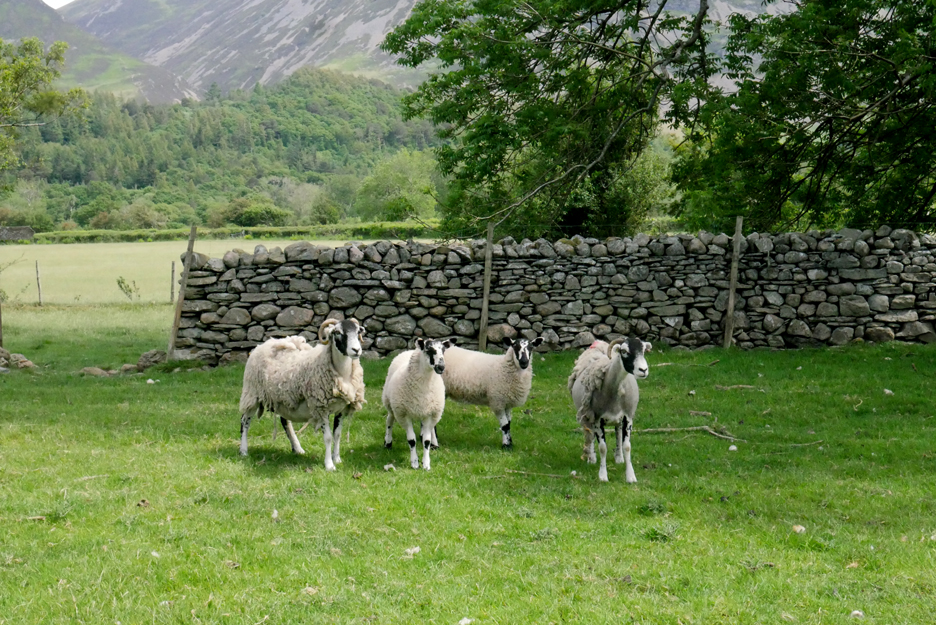
In the fields the lambs have grown appreciably and are now starting to challenge their mums for size. When the adults are shawn, or drop their fleece naturally, it will be less easy to tell one from the other.
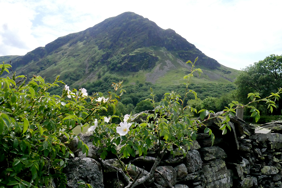
The lovely white dog rose in the hedgerows is now in flower.
Passing High Park House . . . we continue via the track through the far gate.
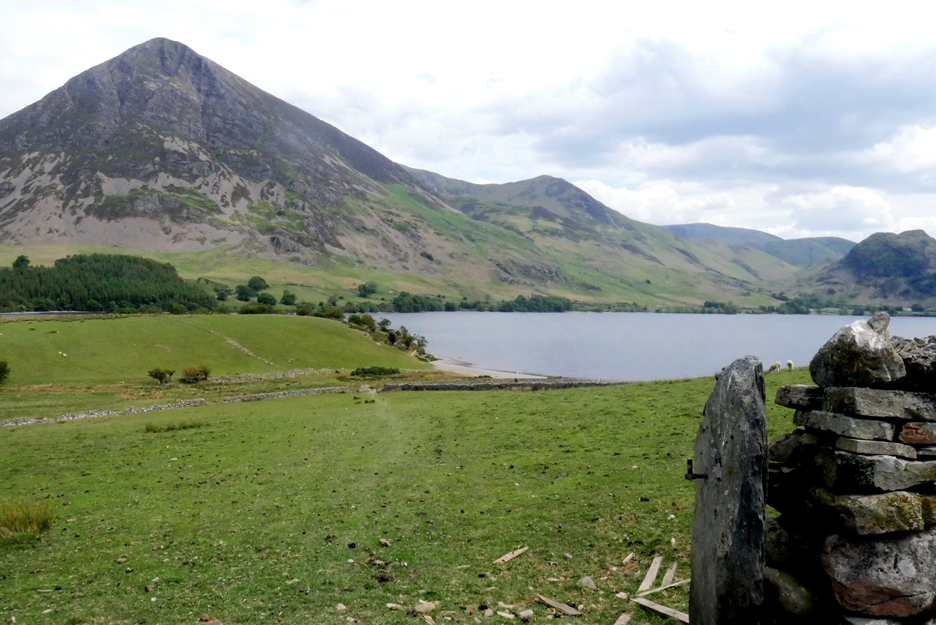
The field path heads down to Sandy Yat beach. The slate gatepost stands firm but the gate itself lies in tatters on the ground, a victim of old age and stormy days.
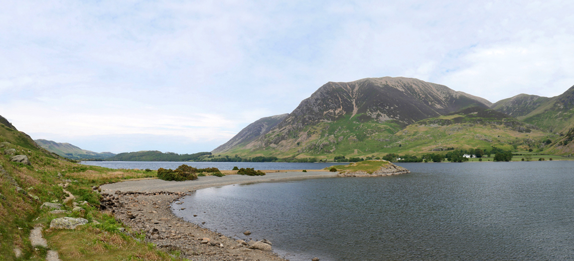
The water level is so low that the beach is more than double in width at the moment.
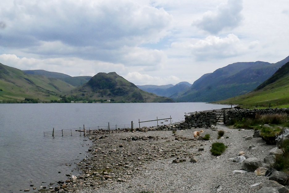
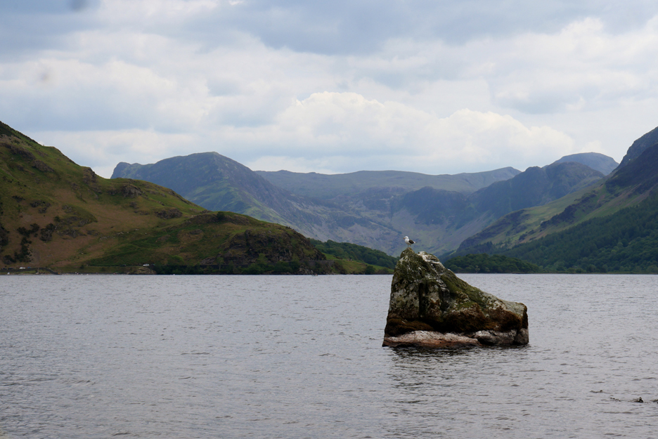
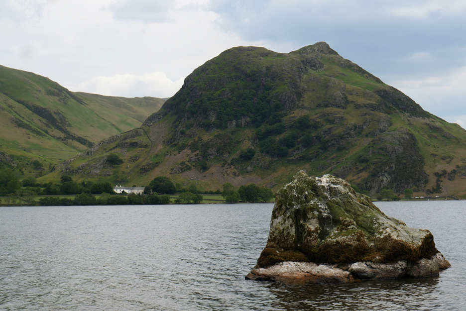
I chose to walk the path but the dogs run along the water's edge . . . all the way to the Iron Stone. It looks strangely larger with the light, exposed tide line at its base.
Normally the perch of a cormorant of shag, but today it is a black backed gull sitting high above a much more exposed rock boulder.
A close up picture reveals . . . that he's flown off before the shutter clicked.
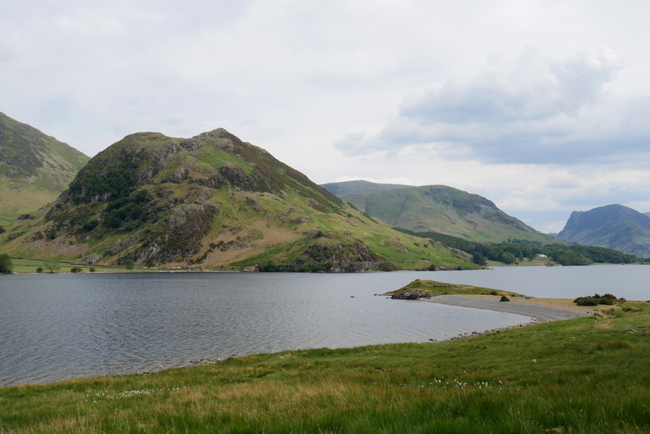
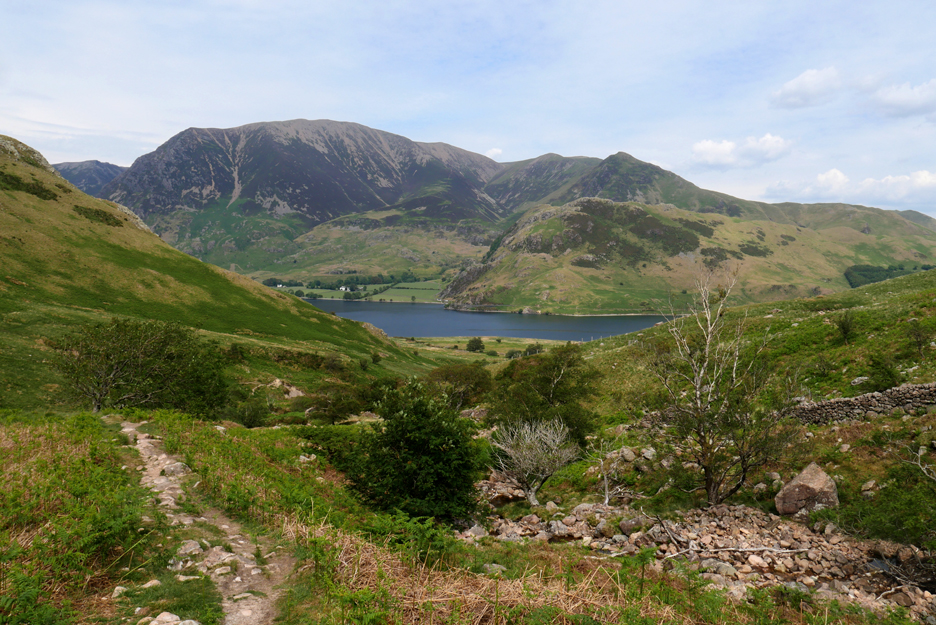
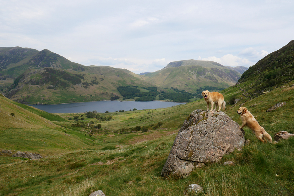
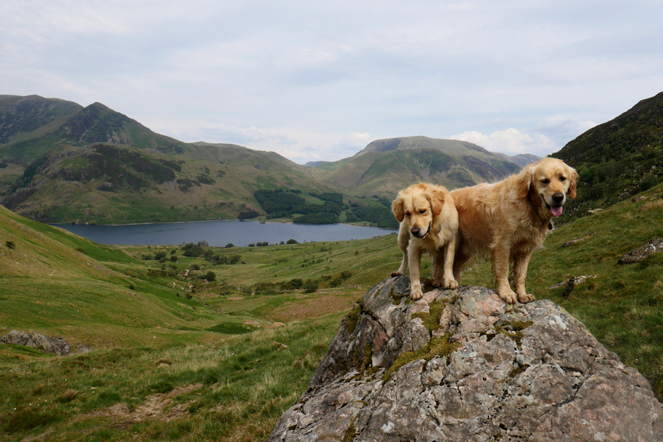
Low Ling Crag is the next objective . . . from its lowly height we could look across to the many parked cars on the road below Rannerdale. I could even hear the noise of people across the water, who were crowding together on the small beach at Hause Point. The countryside is full of visitors after lock-down . . . but sadly a very different kind of visitor to the normal fell walkers.
This side of the water I've only seen one couple and they had left by the time I arrived.
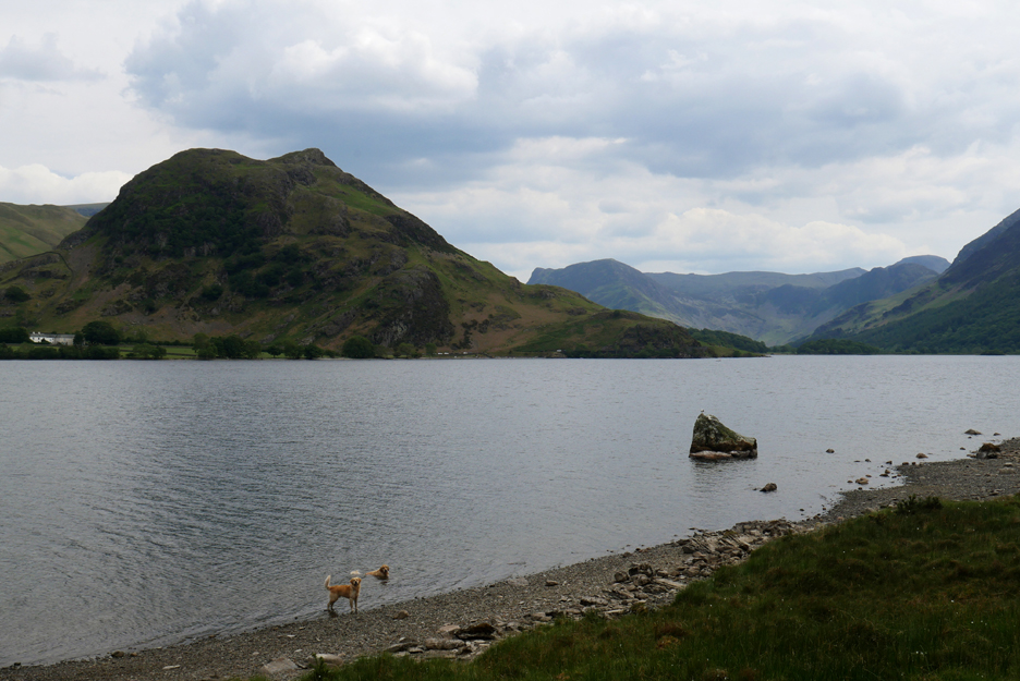
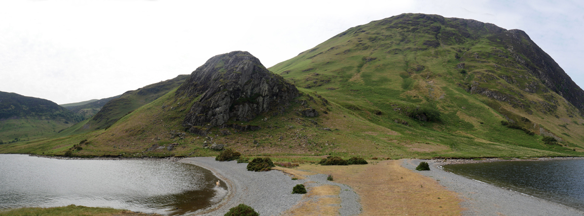
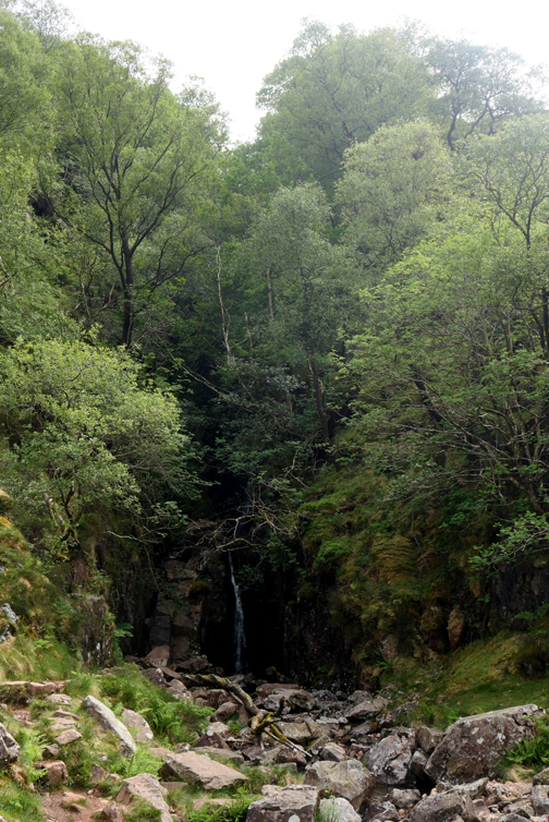
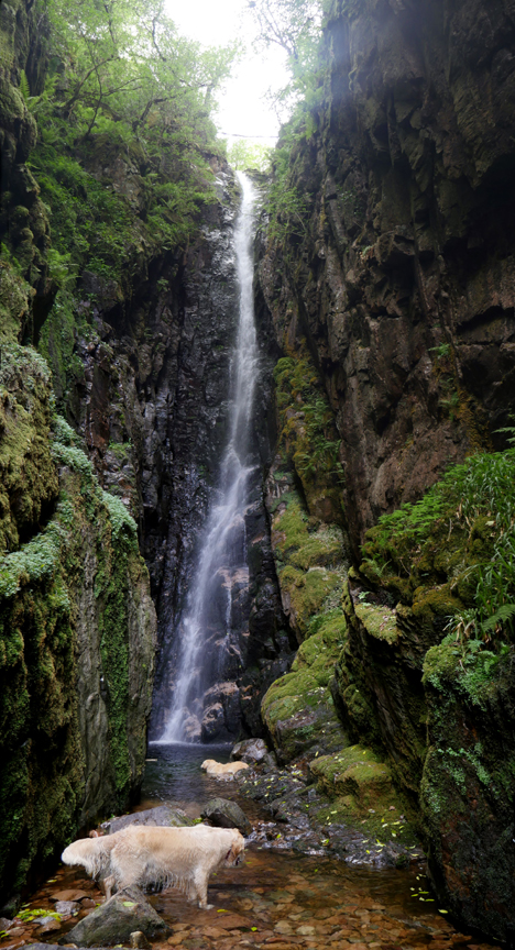
A wider view from the headland of High Ling Crag and the southern end of Mellbreak. Scale Force, the waterfall I'm heading to nex, is in the valley to the left of the picture.
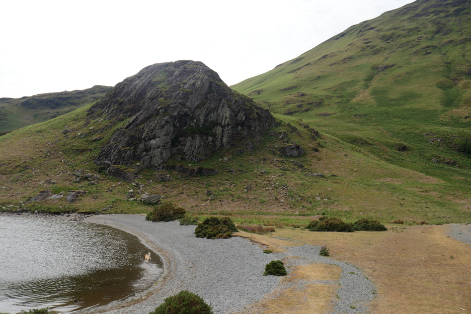
Low Ling Crag viewed from the other side as I continue on along the lake shore path for a while longer.
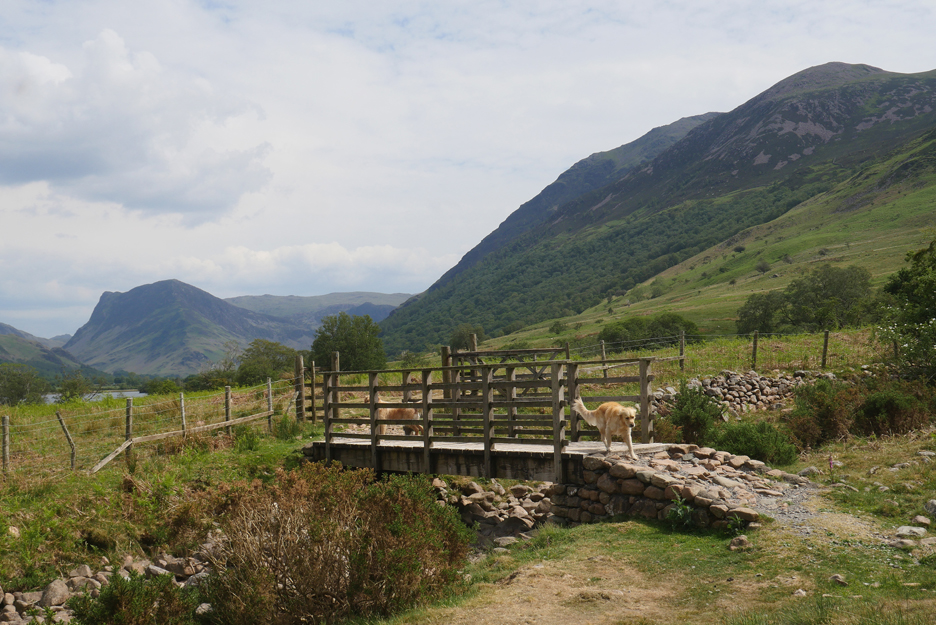
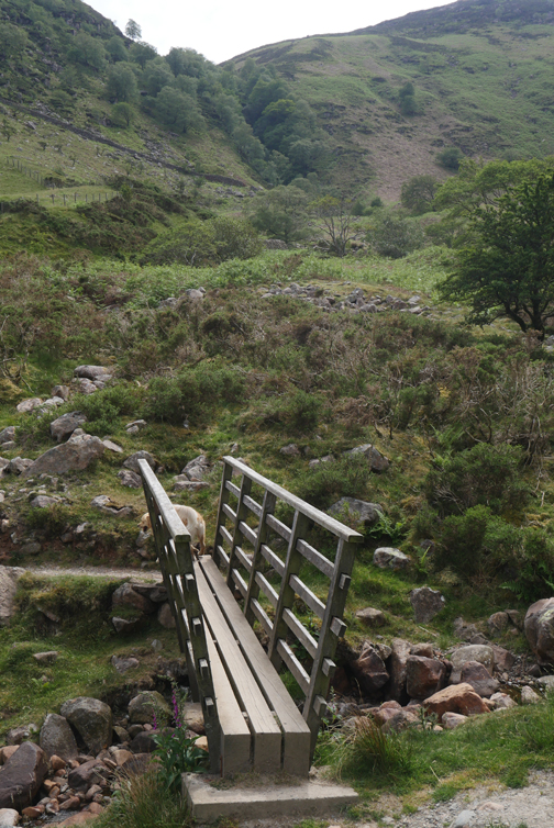
A change of direction now as we pass one of the three bridges over Scale Beck. The dogs crossed to the left thinking we might be going that way, but I don't because I know where I'm heading . . . and it's off to the right !
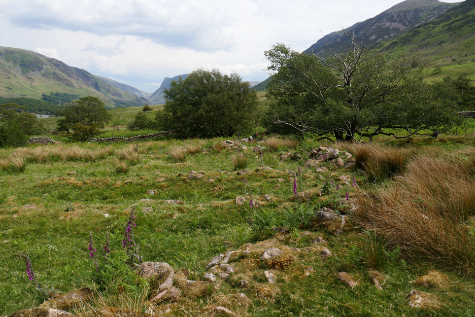
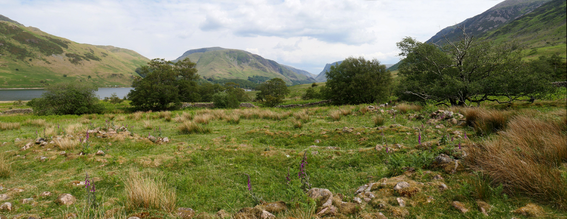
Leaving the lake we pass through the old medieval village.
There are apparently the remains of at least ten buildings dating back to the medieval or Norse period according to the archaeologists. Here are the remains of a typical Norse long house, fourteen yards long but only eight yards wide.
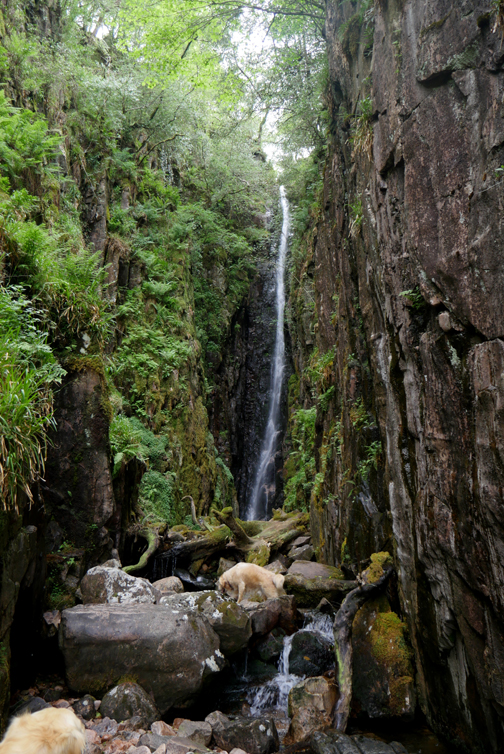
A close view of the top bridge . . . which we walk across in order to get to the falls.
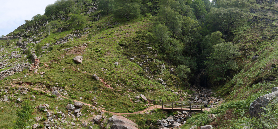
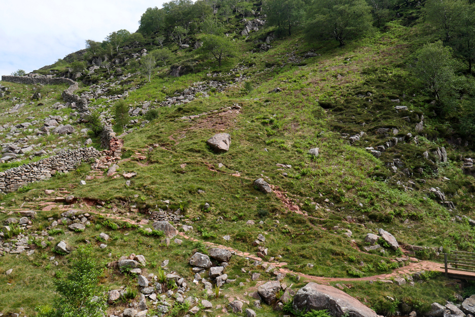
The colour of the footpath to the left is stained red from an iron-rich rock intrusion. The grassy hollow above the highest fan of red is the site of an old mine addit.
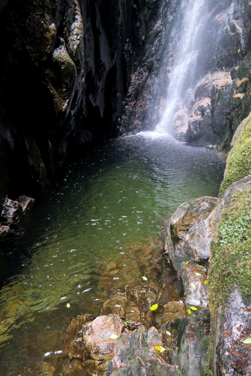
It was with wet shorts and cold feet that I emerged back into the warmth of the day.
To start our return journey we followed the path from the falls up towards Mosedale.
The dogs enjoyed climbing the granite boulder which turned out to be large enough for two on the top !
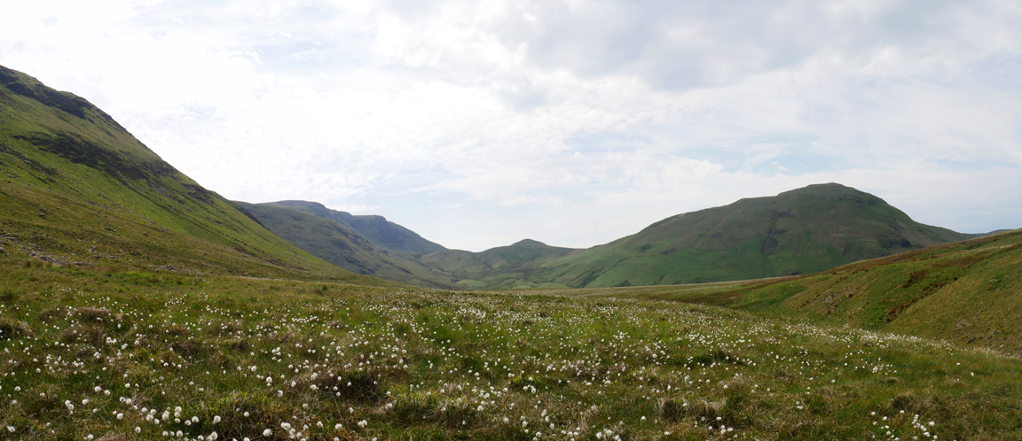
Dancing Pastures . . . On the flat ground as we entered Mosedale the flowers of the cotton grass were swaying in the warm summer breeze.
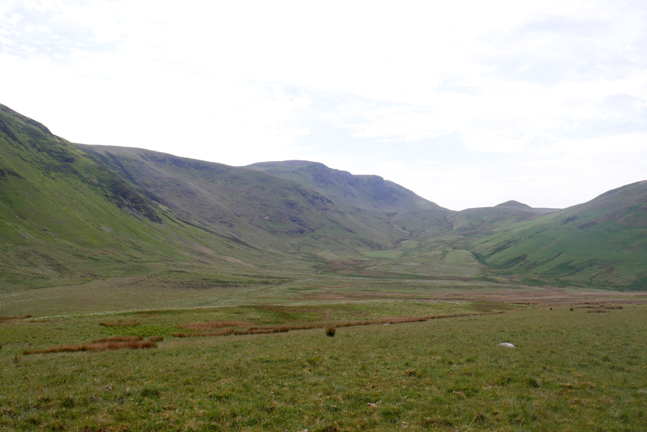
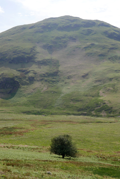
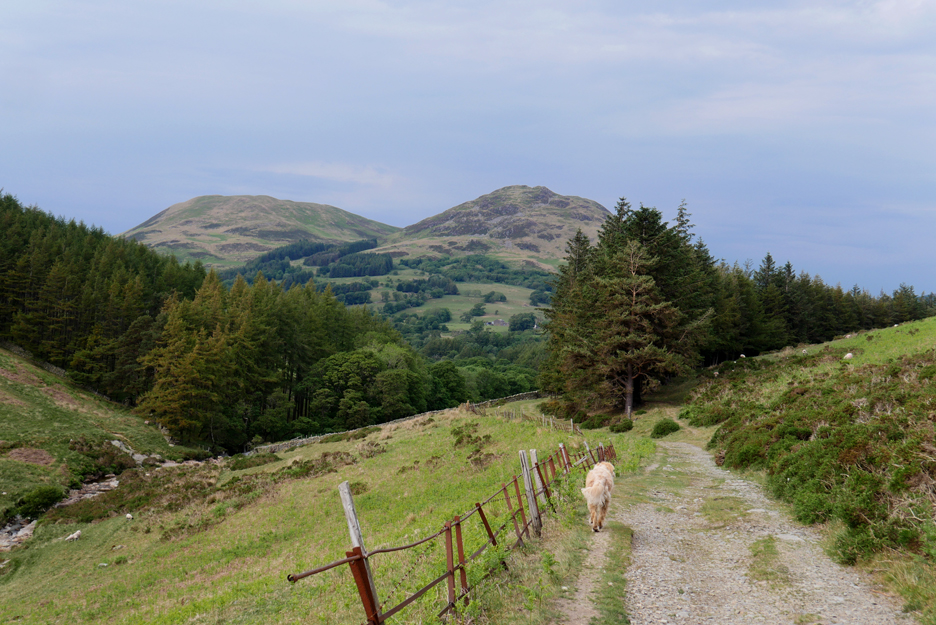
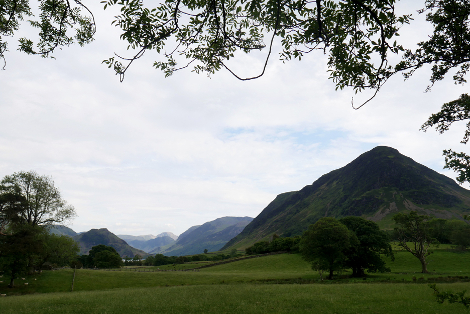
After a short and steep second crossing of Black Beck (in reverse this time), we continue round the southern end of Mellbreak. The major summit across the way is that of Great Borne and the small triangular peak is Floutern Cop.
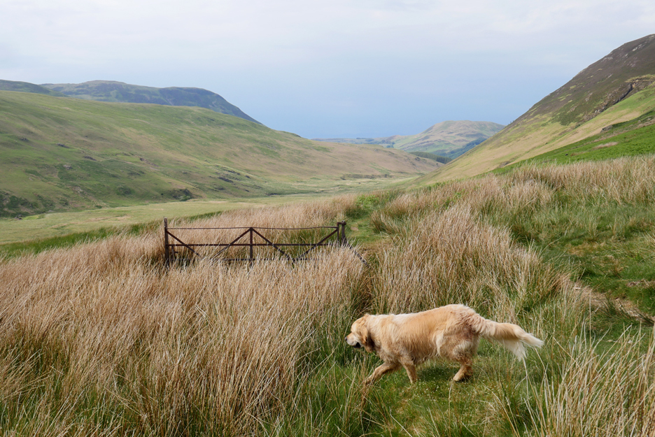
The old track down the west side of Mellbreak includes this old, now redundant wrought iron gate.
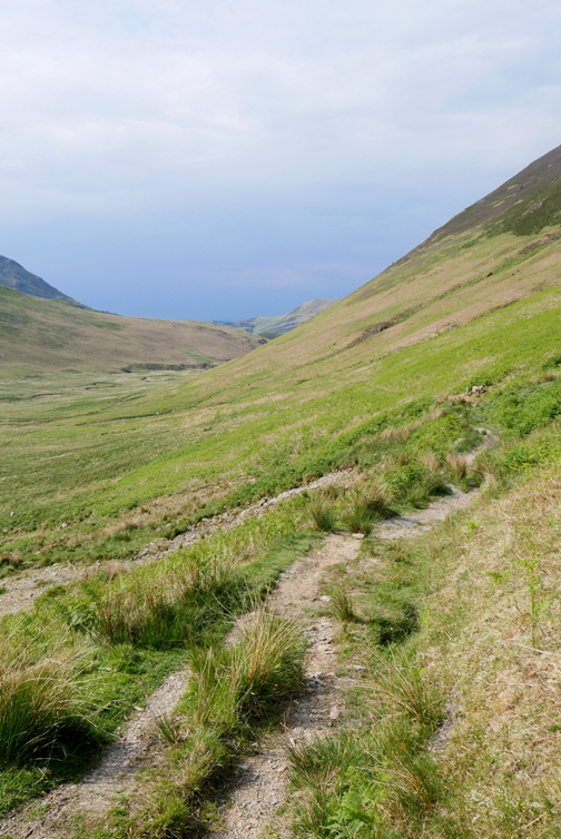
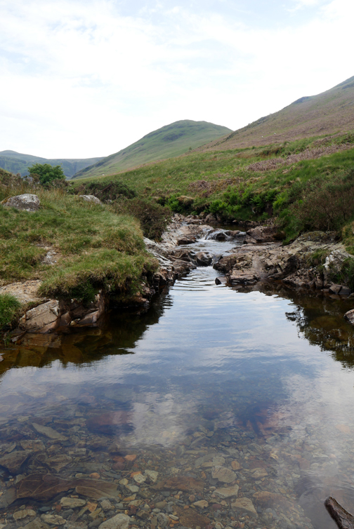
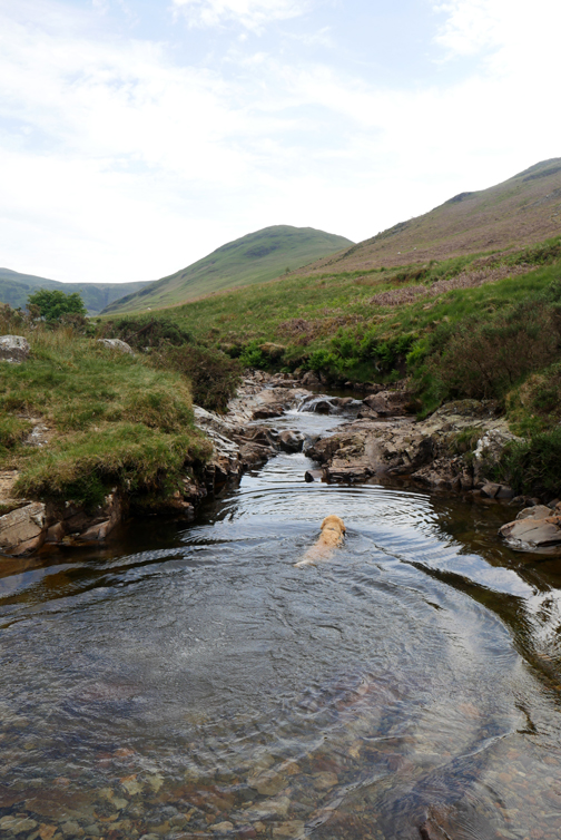
Back on familiar ground on the track above Harry's Pool.
The water here was considerably warmer, having meandered in the sunshine down the length of Mosedale. Time for swim number two which was at a much more sensible temperature than the first.
The overcast nature of the day hid the sun on occasions but the temperature stayed warm and the light windproof jacket remained unopened . . . which is more than can be said for the tasty packet of biscuits ! - - - o o o - - - |
Technical note: Pictures taken with either Ann's Panasonic Lumix TZ60, or my Panasonic Lumix Gx8 Camera. Resized in Photoshop, and built up on a Dreamweaver web builder. This site best viewed with . . . just a little more of the sunshine that we've been accustomed to of late. Go to Home Page . . . © RmH . . . Email me here Previous walk - 25th May 2020 - Harry's Pool and up a bit A previous time up here - 24th July 2017 - Round Mellbreak with Peter Next walk - 6th June 2020 - Crummock Surprise non-litter Pick
|