![]()

Remember: Press F11 for a full
screen view of this page.
Web Counter when published 1 745 550
|
|
|
Remember: Press F11 for a full
screen view of this page. |
Web Counter when published 1 745 550 |
|
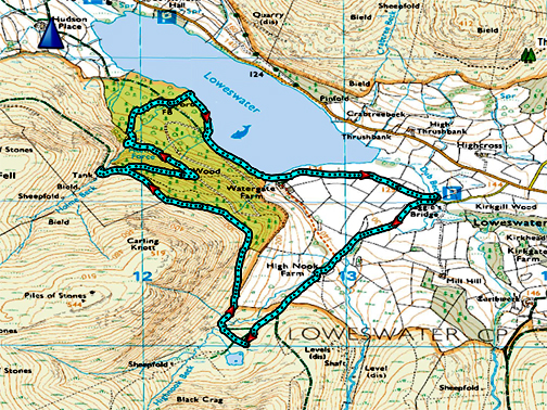
" High Nook and Holme Force " Date & start time: 23rd February 2020. 3.10 pm start. Location of Start : Maggie's Bridge NT car park, Loweswater, Cumbria, Uk. ( NY 143 211 ) Places visited : High Nook Farm, the Tarn, Holme Woods, and back via Watergate. Walk details : 4.1 mls, 875 ft of ascent,1 hour 50 mins. Highest point : Above the woods, 1000 ft - 308 m. Walked with : Myself and our dog, Dougal. Weather : Overcast, threats of wintery showers, but it stayed dry. |
© Crown copyright. All rights reserved. Licence number PU 100034184. |
|
I think we can class this winter as an unusually wet and windy one and many walks have been at low level and local as a result. With a brighter interval today and to ring the changes, I park at Maggie's Bridge and set off for High Nook Tarn with Dougal. The weather is not brilliant but holds sufficiently to extend the walk to Holme Force waterfall, then I follow the beck down to the lake.
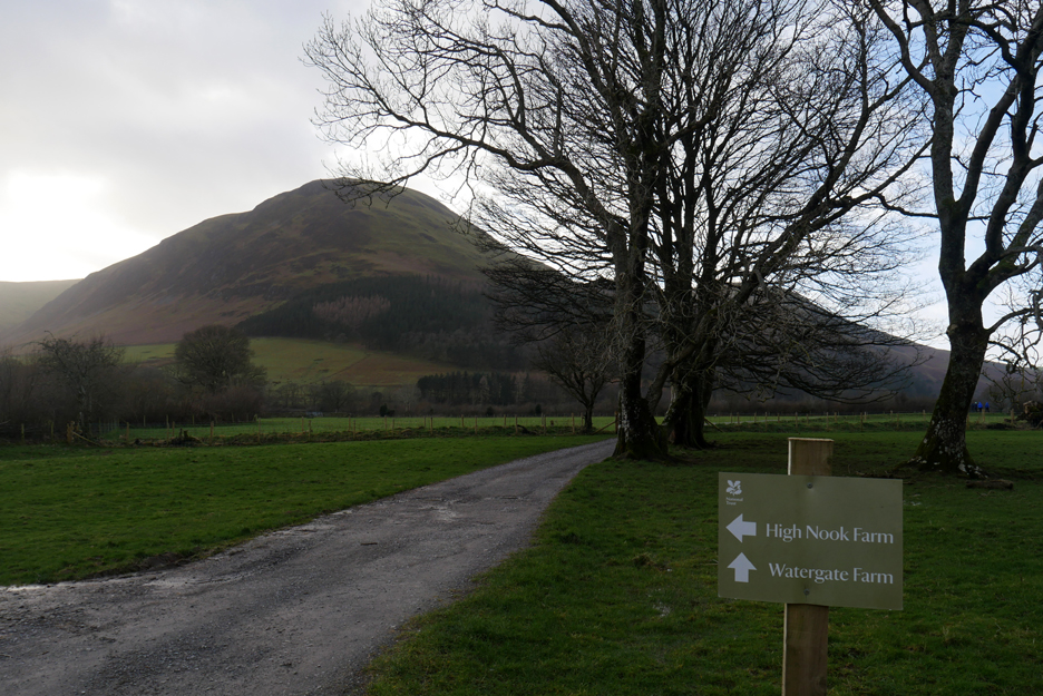
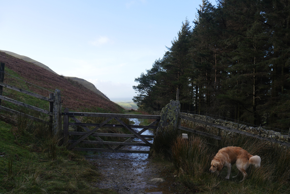
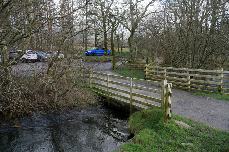
With the traditional bridge closed to vehicle traffic, there is now an alternative route to High Nook Farm in the form of a new field track and gate . I'll return via the main track from Watergate as indicated on the signboard.
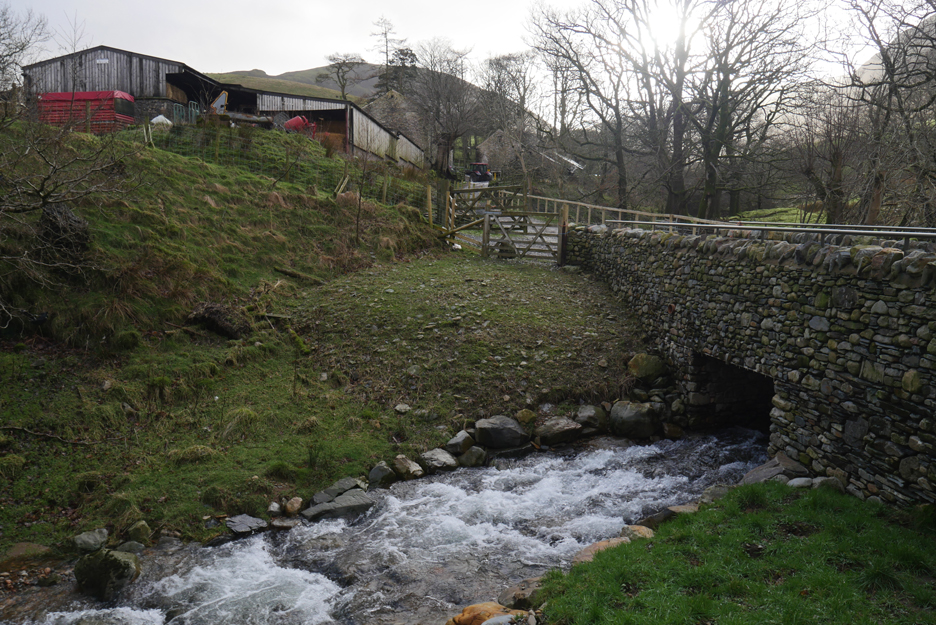
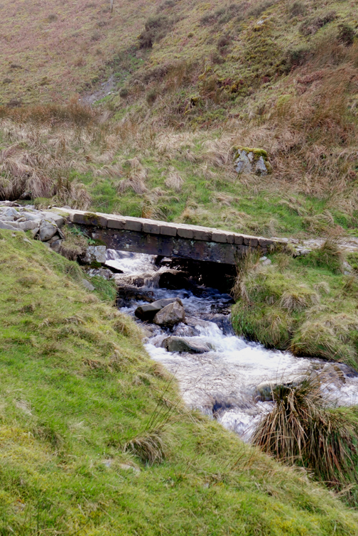
River levels in High Nook Beck have receded and the new bridge is coping well.
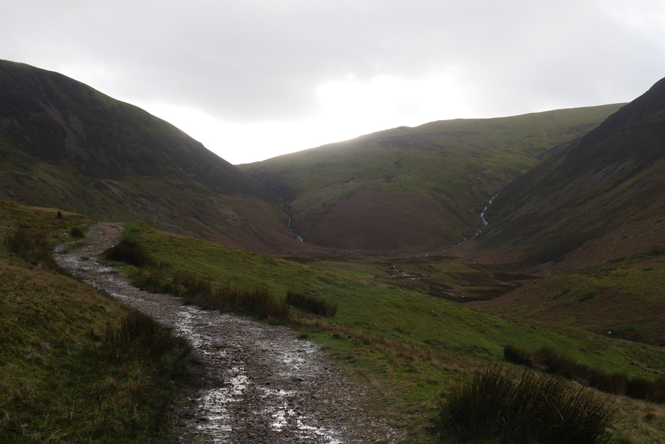
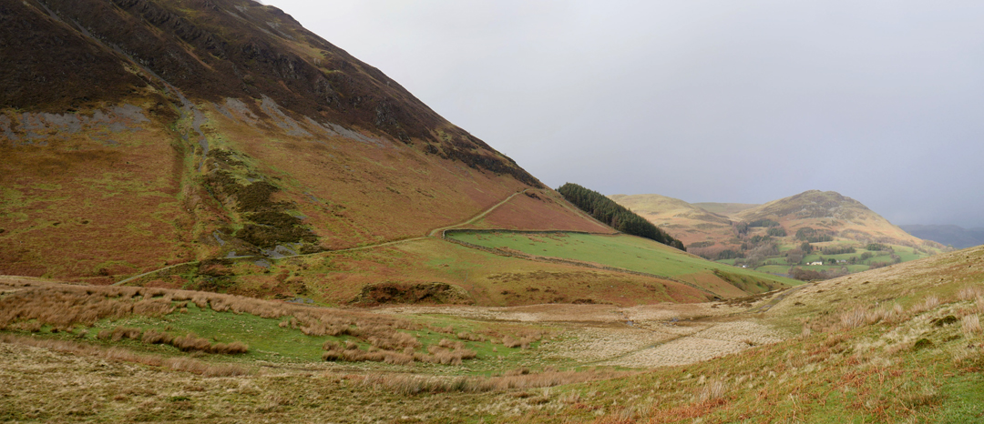
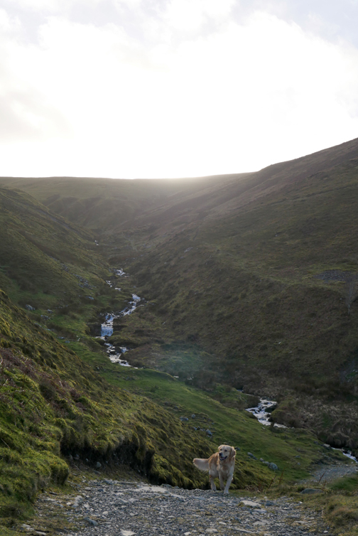
A brief chat with the farmer on the way through the yard and then it's on towards the open fell. A steep track up brings Dougal and I out into the raised valley holding High Nook Tarn.
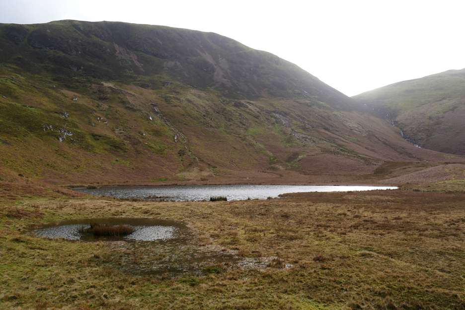
The tarn is not fed by any stream so the water levels are not full to over-flowing The recent heavy rain on the moorland grass has left pools of additional standing water, forming High Nook Tarn 2 in front of it.
The haze in the pictures was due to looking up into the watery sun.
Looking the other way the clarity is better and we can see down to Darling Fell and Low Fell. The path from High Nook to Fangs Brow, part of the presumed Loweswater to St. Bees Priory coffin road, can be seen rising up the fell opposite.
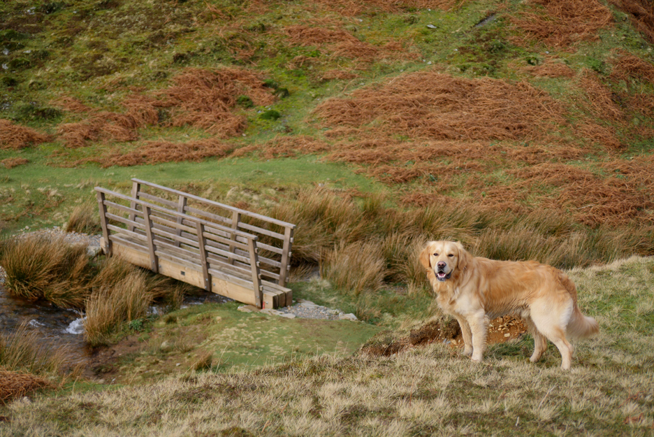
Dougal heads off to find the footbridge over the stream.
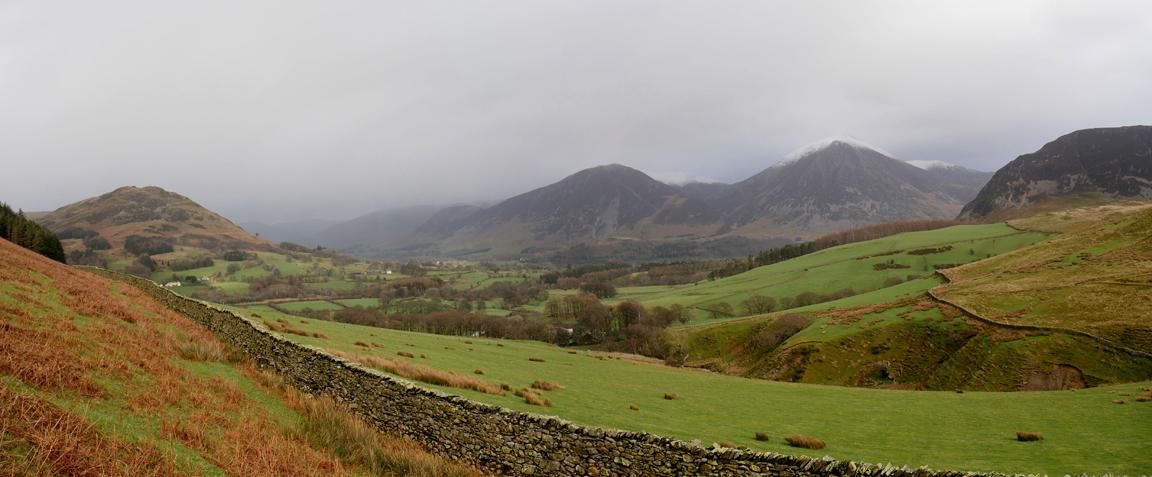
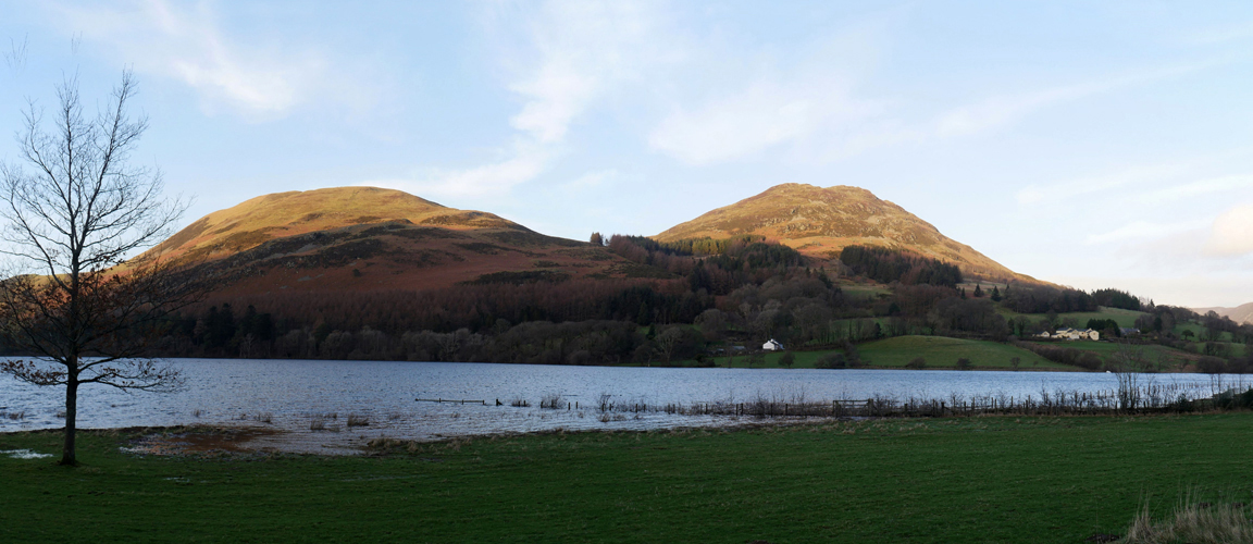
Lorton Valley to the right of Low Fell is harbouring a winter shower which is presumably bringing rain or sleet to Lorton Village. However it is all clear here so I extend the walk along the Coffin Road and head up around the back of Holme Woods.
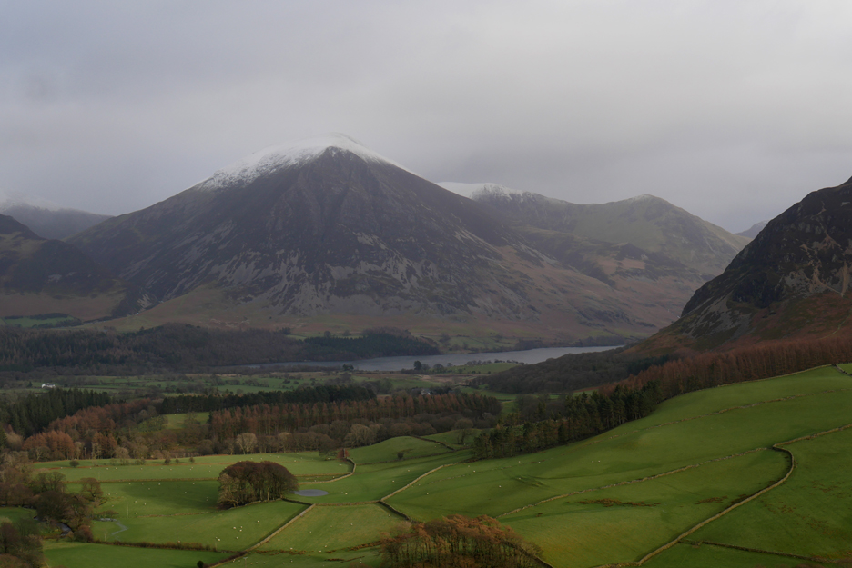
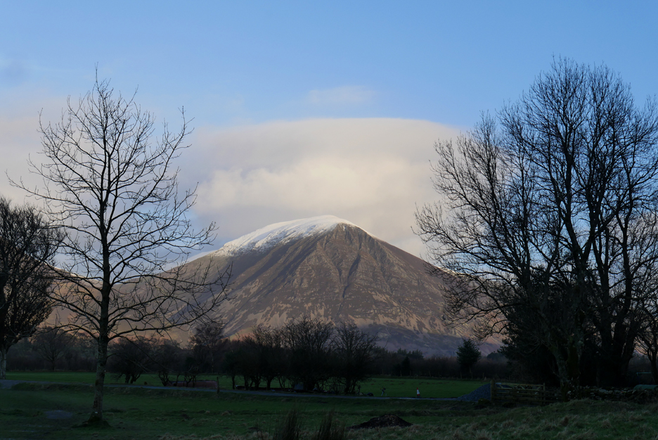
Cloud levels are hovering on the 2,500 ft (800m) level which means Red Pike and High Stile are just about clear.
The snow on Grasmoor some 200 ft higher is just about reaching cloud level.
A steady pull up the track and we are at the gate at the highest point. Ahead is Scotland and just noticeable is the only other walker that I met today, apart from those by the car park at the end of the walk.
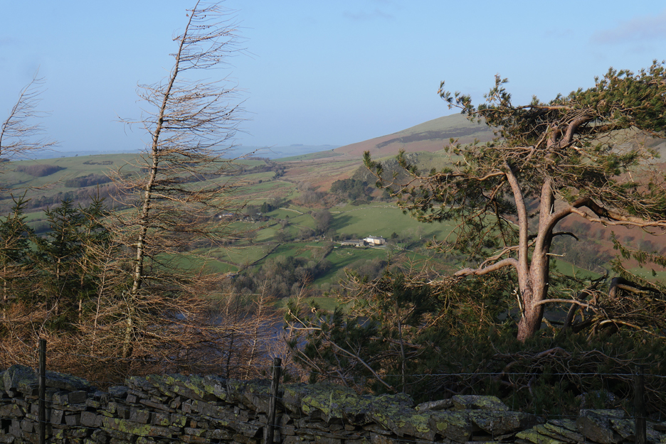
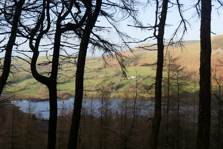
Looking through the Scots Pine and Larch, across the valley to Askill and Myresyke Farms.
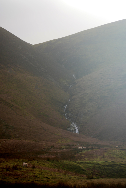
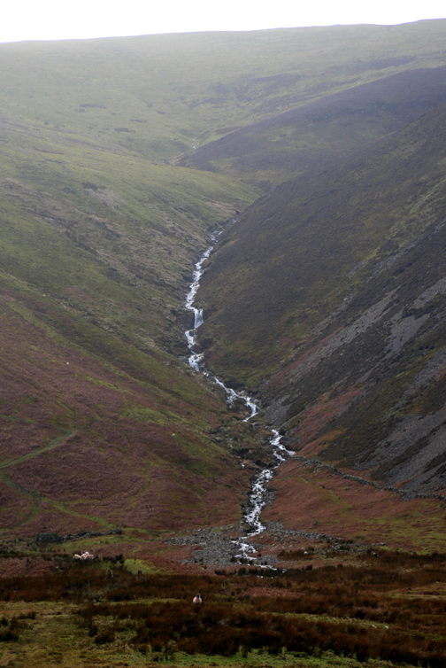
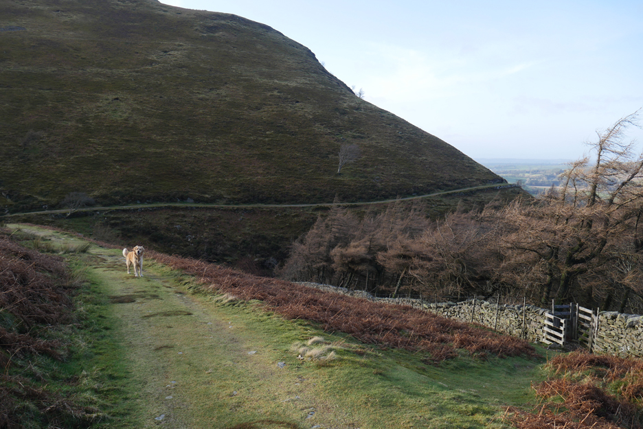
The track continues on around the face of Burnbank Fell and I follow it a short way to take a look at the state of Holme Beck tucked in the valley ahead. I'll come back to this gate shortly as the path to it leads down through the woods to the waterfall below.
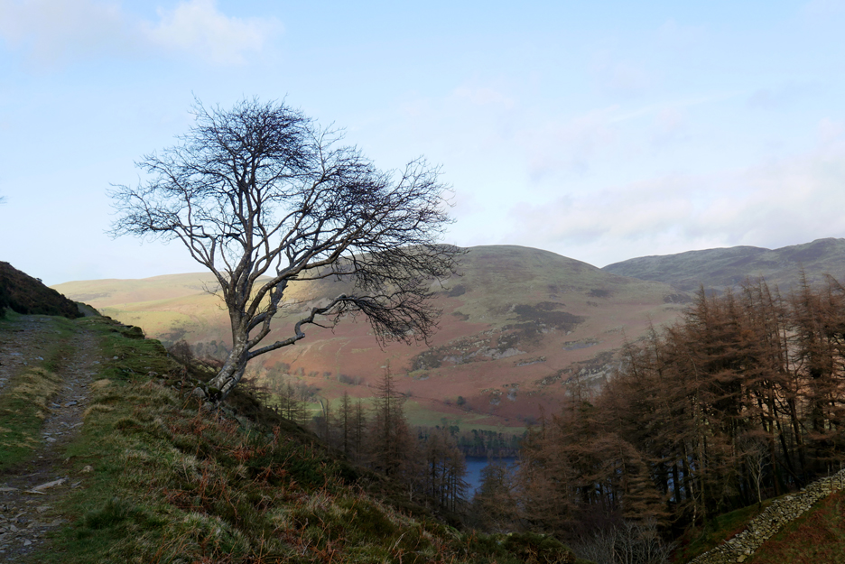
I thought the extra few yards would give me the chance of an artistic tree shot with Darling Fell behind, but the winter light is a bit flat so it doesn't stand out as clearly as I had hoped.
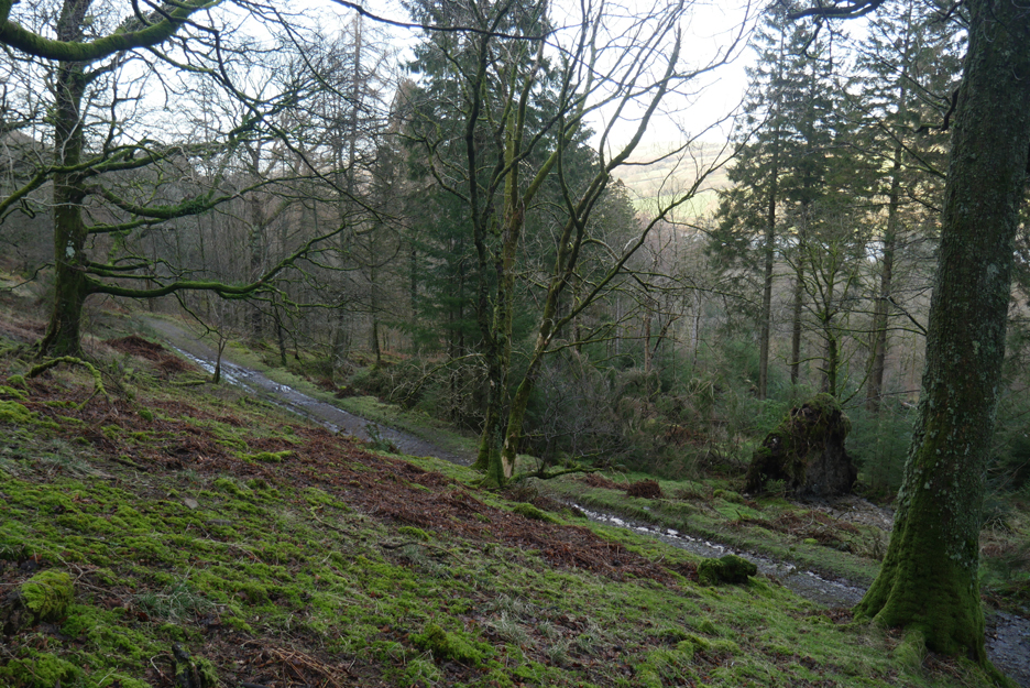
Time to double back and take the increasingly steep path down through the woods.
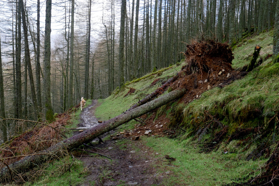
Winter storms have brought down several trees, including this one that straddles the path.
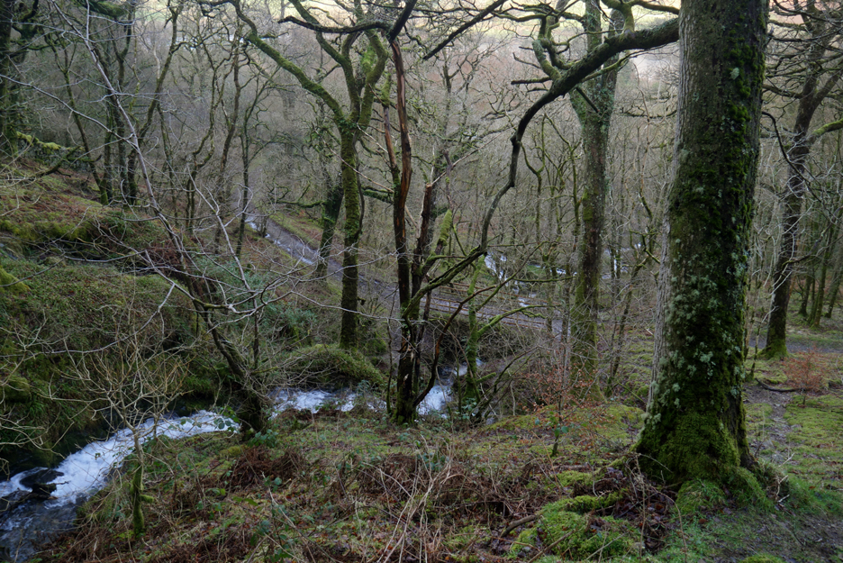
In the woods I meet the first of the diagonal forestry tracks and follow it down towards the falls. About here I take to the rough ground and contour through the last of the trees before reaching Holme Beck once again.
That slight diversion has saved me climbing the first fifty feet of slippery footpath up from the bridge !
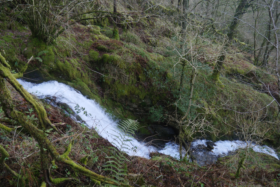
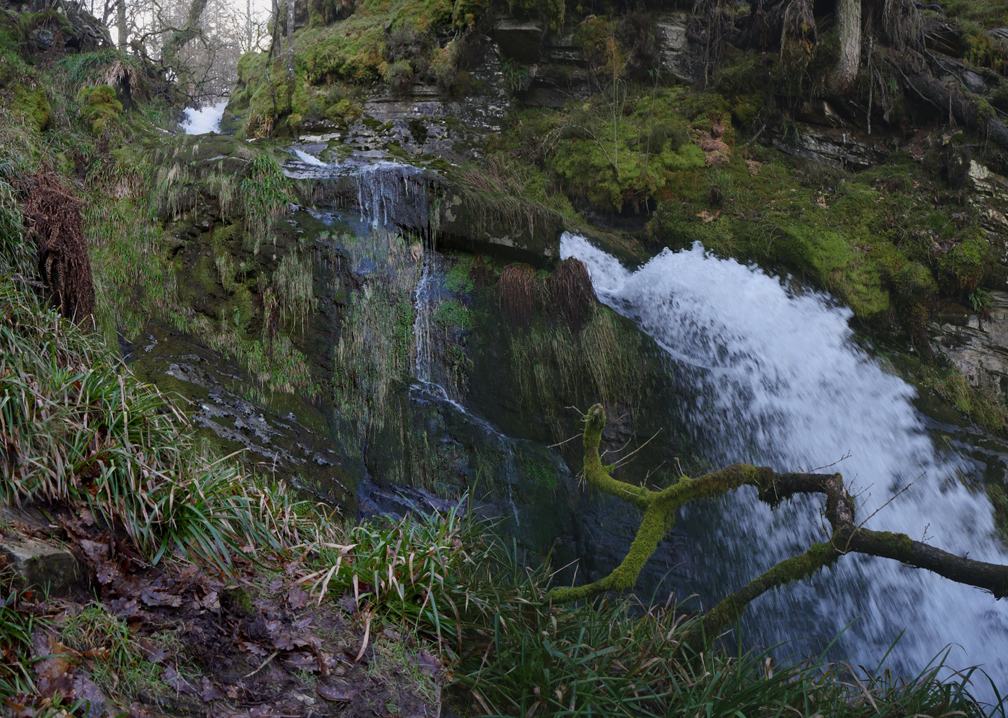
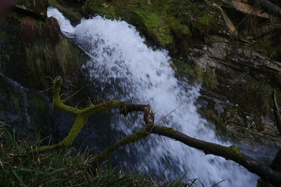
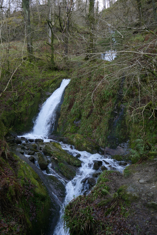
Not the famous water spout but the recent rain is making the beck run fast and furious over this part of the cascade.
Safely tucked on a slight ledge I can enjoy the water spout as the rock formation throws the water into the air.
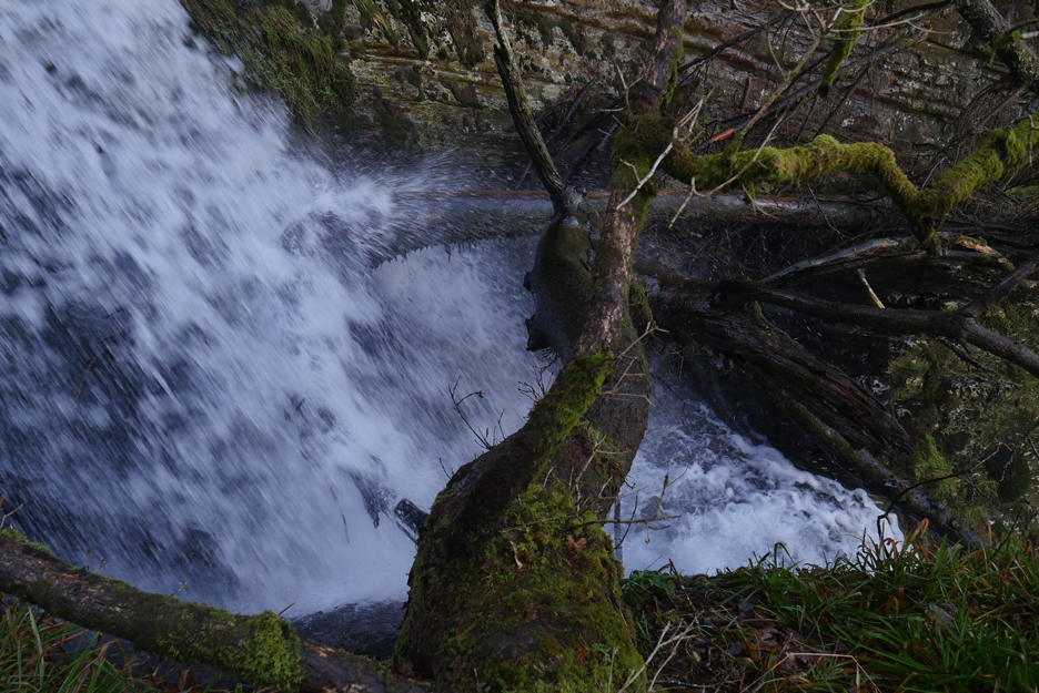
It splashes down into a chasm between myself and the opposite wall.
Several years of fallen trees are now blocking the extended cut in the rock face, so the main stream is being directed straight on through a gap and down what is now the main water way.
I follow the small path carefully down . . . the route is even more difficult and slippery than walking up.
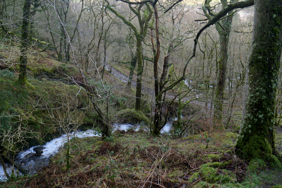
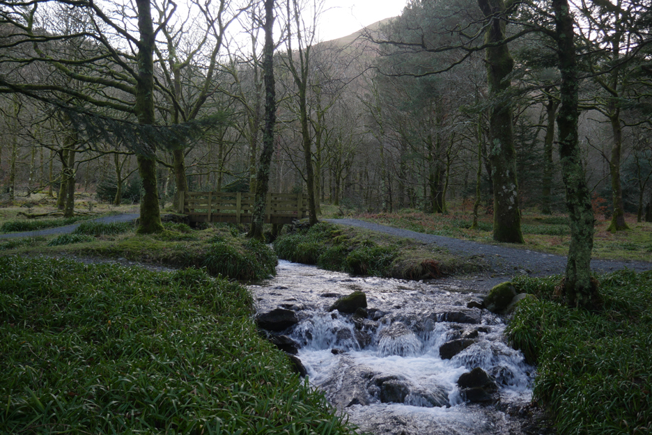
A short walk later I'm down at valley level, chasing the water down the beck. This is the footbridge on the main woodland track.
A newer, disability-friendly track has been made closer to the lakeside and here a final bridge can be found, the fourth and final crossing of the beck in its rapid decent from Burnbank Fell.
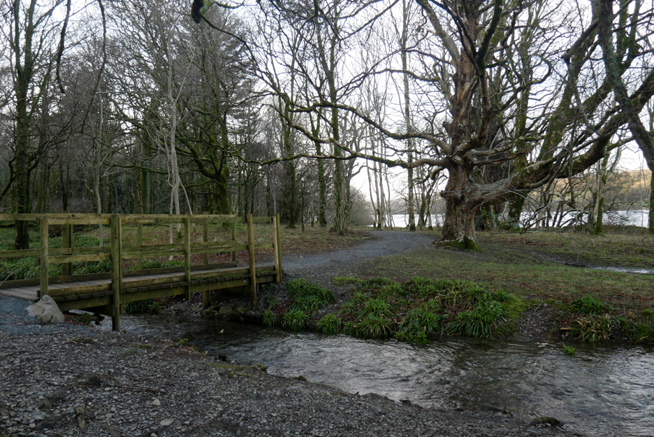
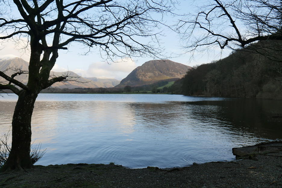
From here the water enters the lake and has chance to slow down and appreciate its surroundings. You can do so too, courtesy of a small bench on the beach.
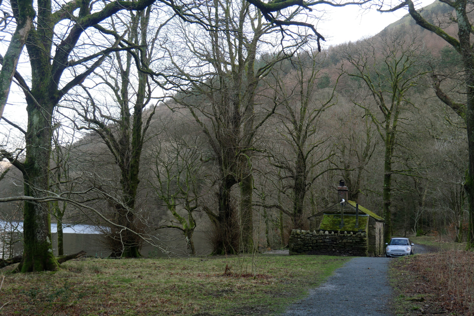
Following the lakeside path round we arrive at the bothy. It looks like someone is in residence . . . but they must be tucked up inside or away on walk as there's no-one about.
The lake level is up today and the water is lapping against the boards by the rope swing.
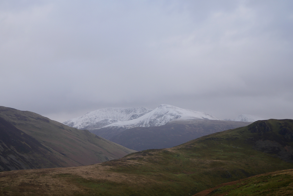
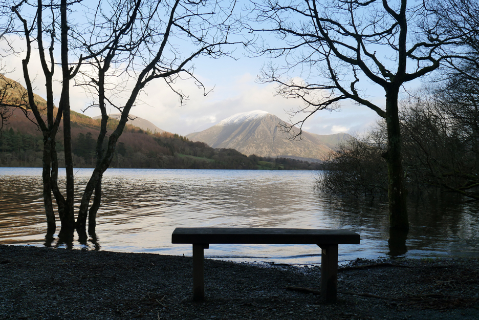
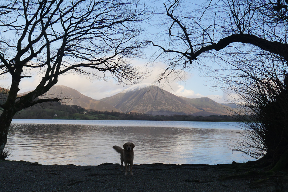
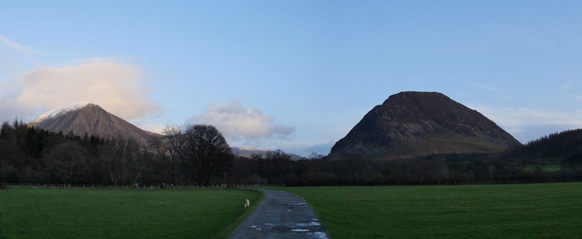
Dougal manages to stand just where I want to take a picture of the snow-capped peaks. Hold your cursor over the picture to magic him away for a moment if you wish.
The home stretch . . . or should the be Holme stretch . . . back across the meadows to Maggie's Bridge and the car. This is Darling Fell and Low Fell with the houses of Crabtree Beck and Thrushbank on the opposite shore. The lake must be about two foot higher as the final fence posts at the end are almost underwater.
The afternoon has cleared nicely and the extended walk has been worthwhile.
I'll be home and dry soon as we're near Mellbreak once again.
The last bridge of the day . . . with the water overtopping the depth gauge but not quite reaching the bridge itself. - - - o o o - - - |
Technical note: Pictures taken with my Panasonic Lumix Gx8 Camera. Resized in Photoshop, and built up on a Dreamweaver web builder. This site best viewed with . . . a dry coat, dry hat, dry gloves and a dry dog . . . bonus. Go to Top . . . © RmH . . . Email me here Previous walk - 20th February - Harry's Pool & Storm with No Name A previous time up here - 9th January 2010 Loweswater and High Nook Round Next walk - 26th February - A Day of Two Halves
|