![]()

Remember: Press F11 for a full
screen view of this page.
Web Counter when published 1 701 217
|
|
|
Remember: Press F11 for a full
screen view of this page. |
Web Counter when published 1 701 217 |
|
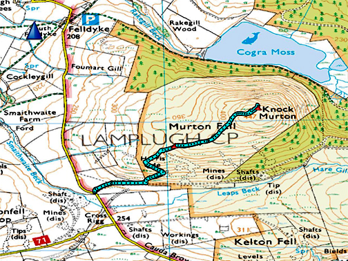
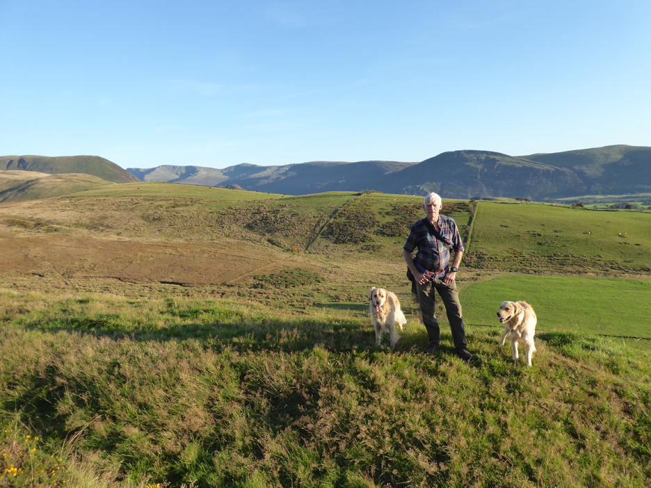
" Knock Murton Direct " Date & start time: 20th September 2019. 4.30 pm start. Location of Start : Roadside Cauda Brow Road, Lamplugh, Cumbria, Uk. ( NY 086 184). Places visited : Knock Murton up and back by the west ridge. Walk details : 1.6 miles, 615 feet of ascent, 1 hours 45 mins. Highest point : Knock Murton, 1410ft - 447m. Walked with : Ann and our dogs, Dylan and Dougal. Weather : Sunshine and blue skies. |
© Crown copyright. All rights reserved. Licence number PU 100034184. |
|
The beautiful weather continues and we drive the short distance round to the west coast to climb the outlier Knock Murton, on the more gentle moorland ascent from the road near Kirkland. Hazy sun filled skies out to sea but excellent visibility inland makes for fine views once again. Follow the "Red Brick Road" will be the 'adapted' song in the background as we start the walk today.
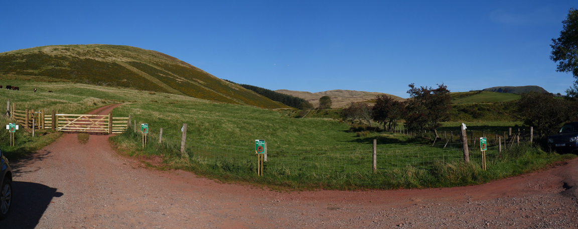
The road entrance has been used in recent times to extract timber from the Cogra Moss Woodland. The timber company has put up lots and lots of graffiti to stop cars blocking the exit but it is late Friday afternoon and there shouldn't be any lorries. Perhaps the company could include the times and days they need to have access so that us poor peasants can use the space the rest of the time and not damage the grass verge along the adjacent roadside . . . or is that too sensible ?
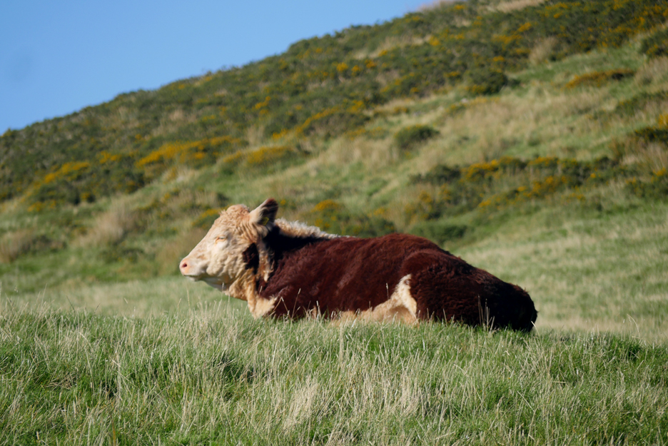
A load of bull . . . in the same field as the track. Technically the track is not a right of way and not "open access" but has been used by the public for ever . . . but then the bull seemed to be quite content sitting on the top of the field and couldn't care less, so no problem.
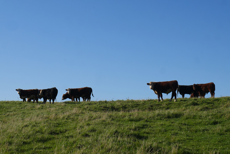
The cows also seem quite content and apart from turning their heads, they didn't make a fuss either.
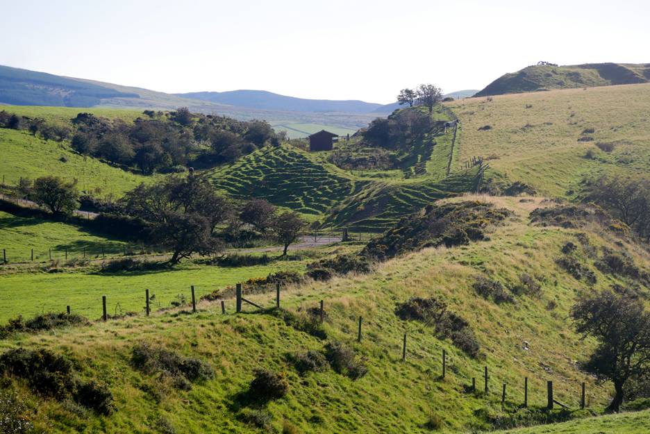
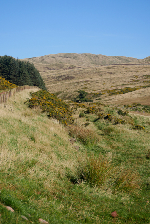
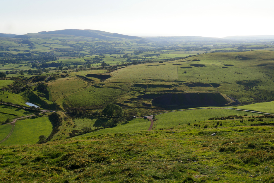
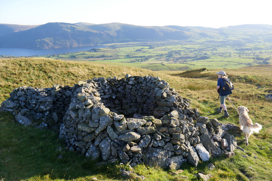
The old Knock Murton Iron Mines had a whole infrastructure of local embankments and railways, one of which follows parallel to our track.
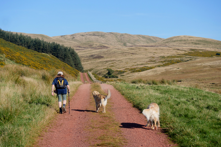
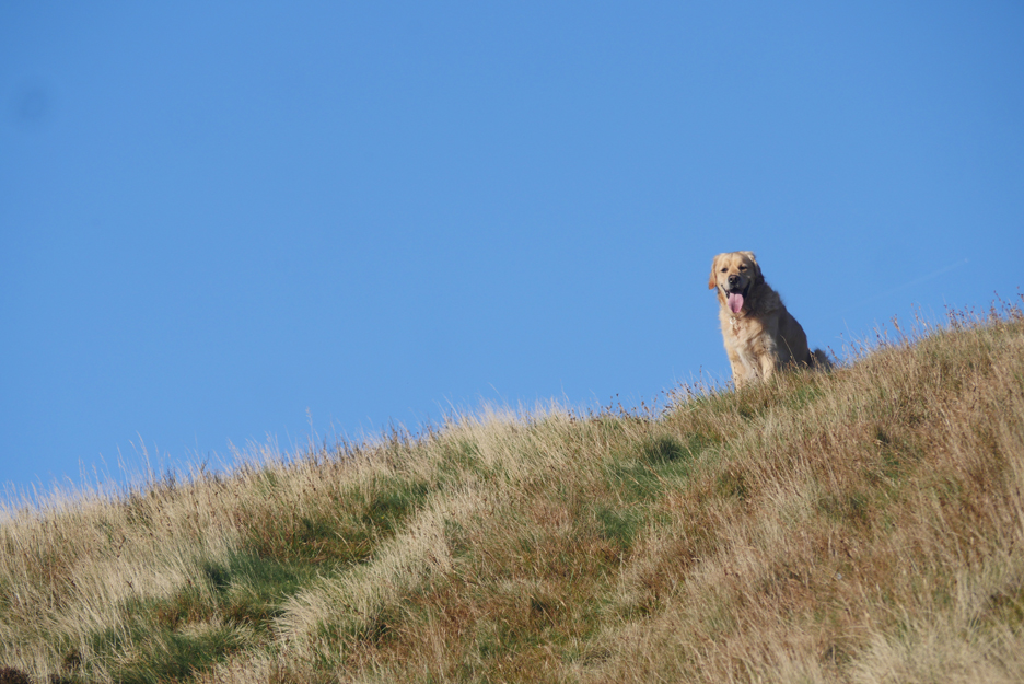
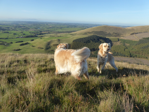
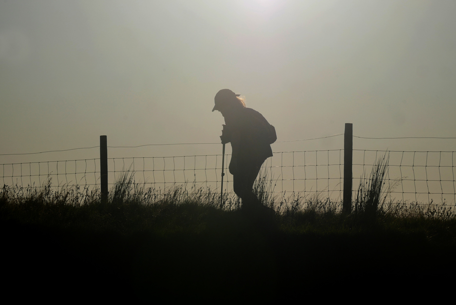
Ann and the dogs lead up the track, the soles of their feet getting redder by the step.
An old miner's footpath turns left and climbs diagonally up to an old spoil heap.
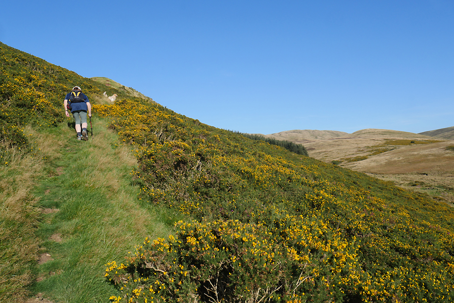
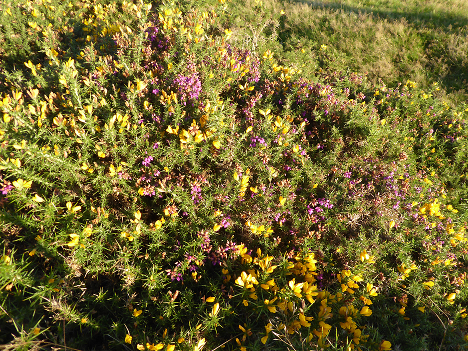
The vegetation here was burned to the ground a few years back in a major moorland fire, but it has bounced back, the heather and the gorse now growing well and competing for the sunlight to colour their flowers.
From the top of this spoil heap a horizontal track heads across the fell, presumably joining several mine addits, before heading off through the wood to join others at the old rail-head in the trees.
Our steep path turns and climbs on a more modern footpath or sheep trod towards the front of the fell once again. From here we can look across at Keltonfell Top where the shadows highlight numerous sink holes, old mine shafts and spoil heaps. [ If you want more details of the mines then please do follow the link at the base of this page . . . thanks.]
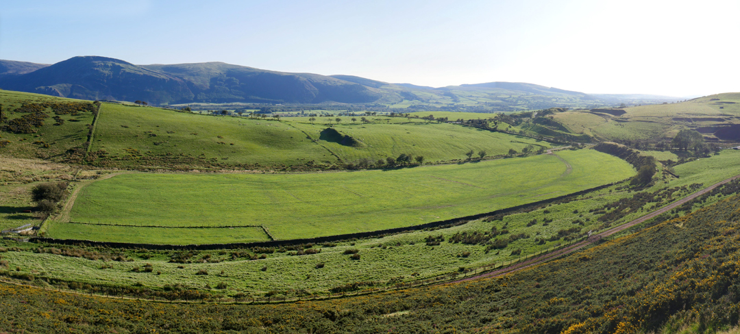
Down below us, Kirkland Leaps and the long field that has recently hosted the Ennerdale Agricultural Show
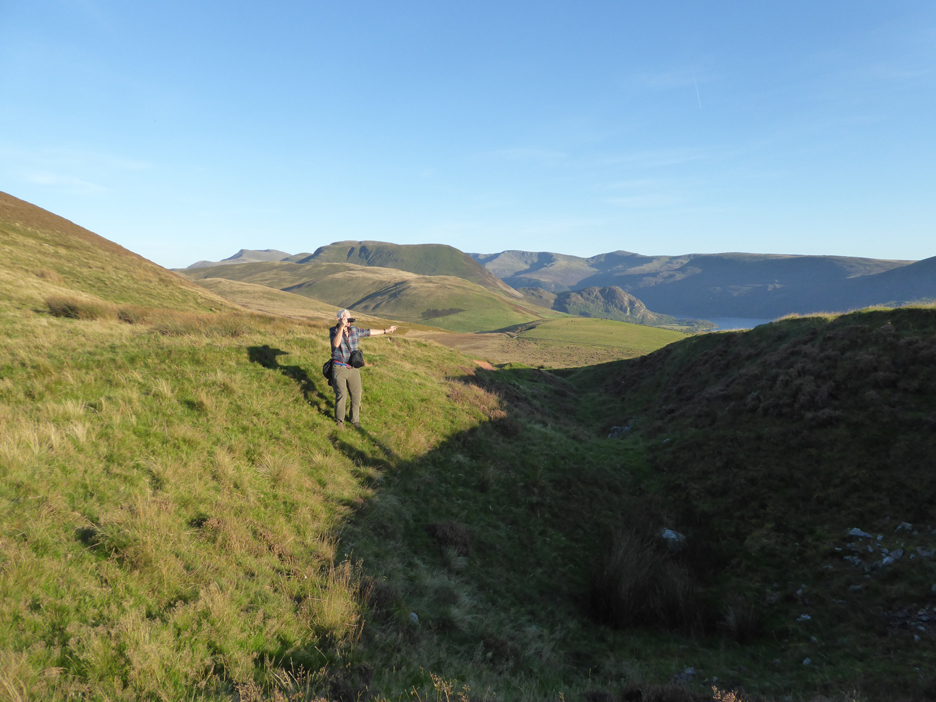
As we climb the higher fells take more of our attention as they gradually appear over the fields of Kelton Fell.
Half way up the fell the path has to meander slightly to avoid an old mine trench. Maybe it was open cast workings, maybe a collapse of a near surface mine tunnel, whatever the reason, it was easier to walk around it.
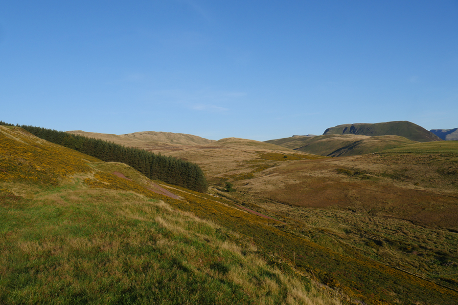
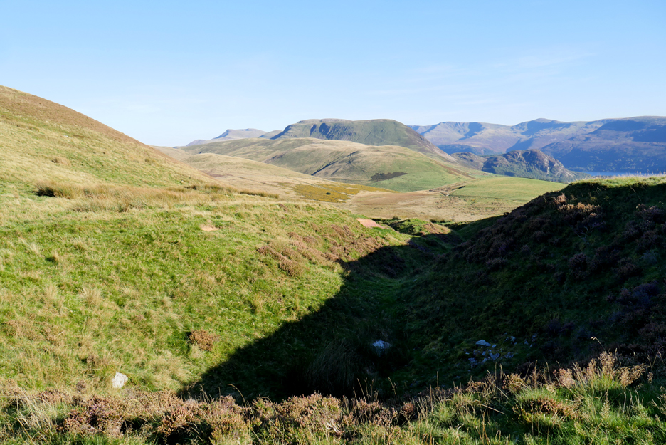
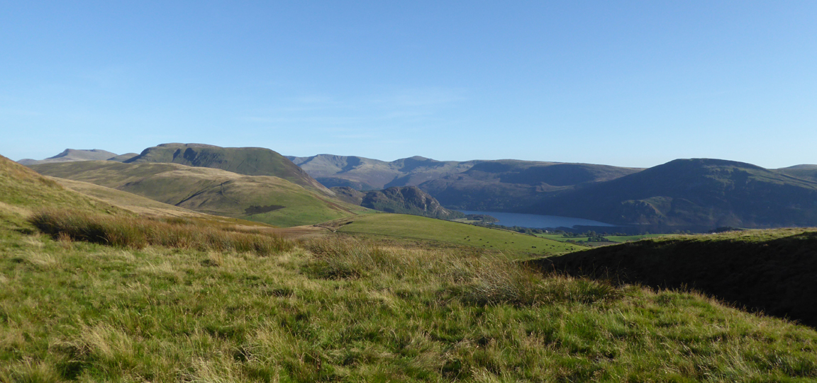
The broader panorama from Red Pike to Grike, the long line of fells that flank the sides of the Ennerdale Valley.
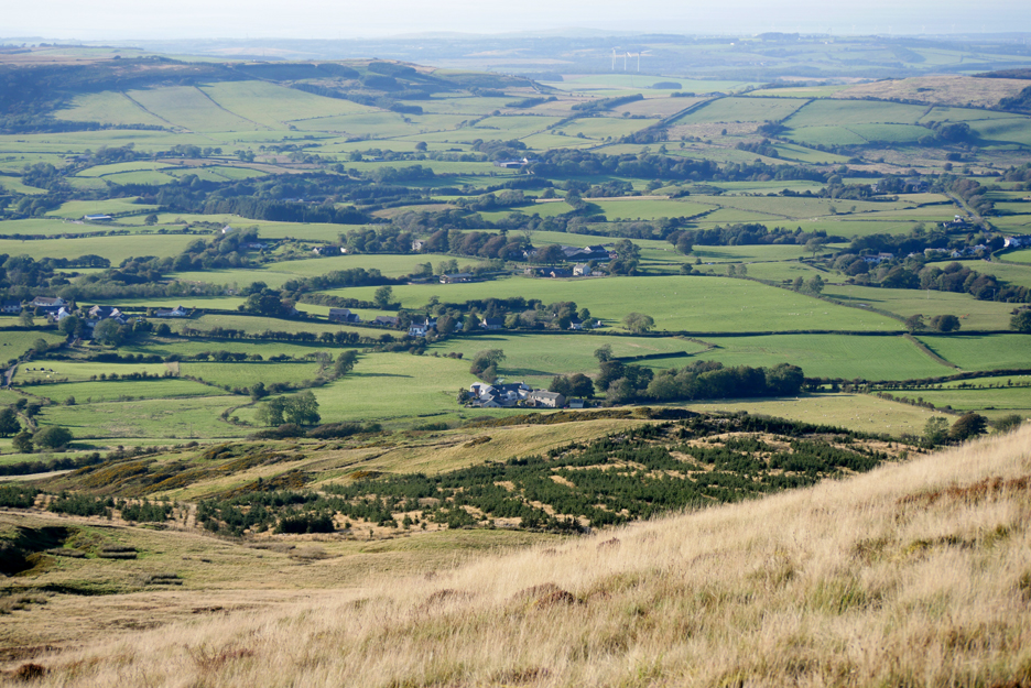
Looking north now and the clear-felled forest of a few years back is starting to naturally re-grow as all the old pine cones shed their seed and newly sprouted trees begin to take hold.
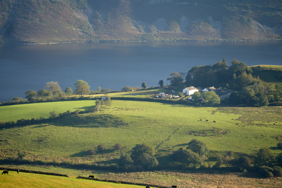
With the larger lens I look across towards the lake and to Howside Farm sitting high above the water.
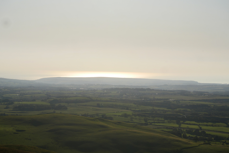
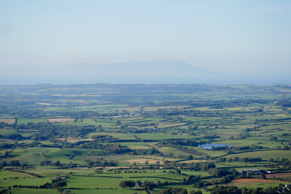
The distant views out to sea are drawn closer by the lens too . . . but the sun has obliterated most of the detail. The lighthouse on the headland is not showing and neither is the Isle of Man, out there in the haze.
"Not far to the top now" . . . we are told.
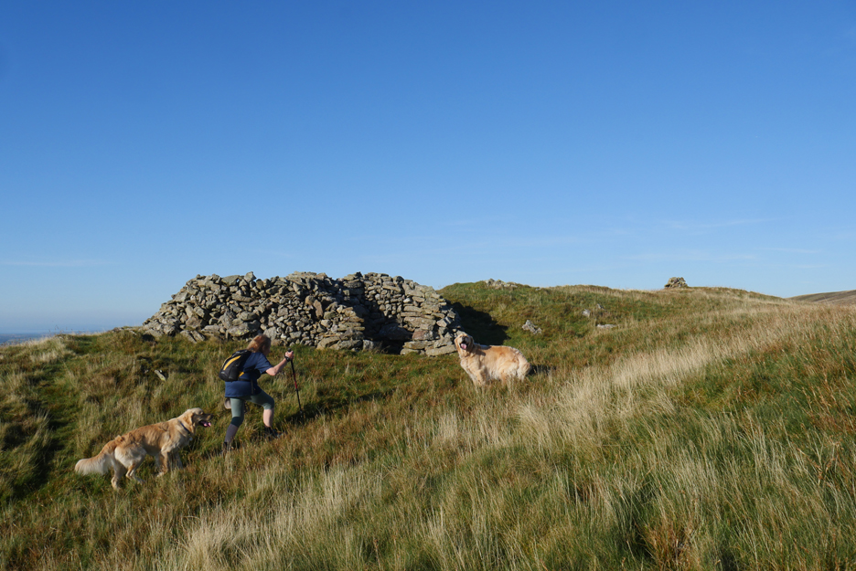
He was right . . . the summit shelters and the final cairn are soon in sight.
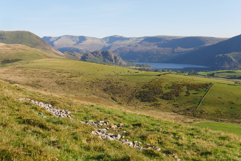
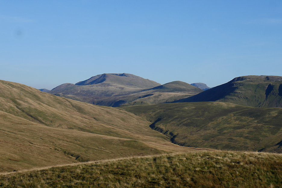
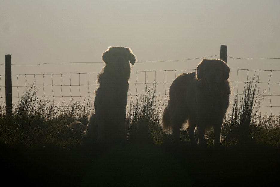
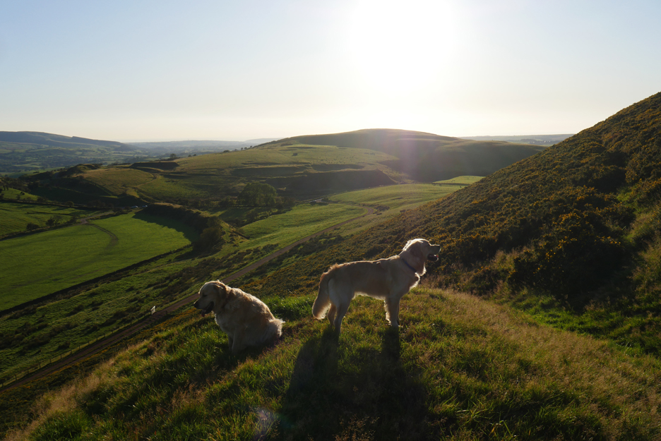
While the dogs sit quietly on the summit I'm intrigued by the view of Great Gable, seen through the gap between Starling Dodd and Great Bourne. Red Pike, so prominent from the Buttermere valley, blends into the ridge line of the High Stile group of fells.
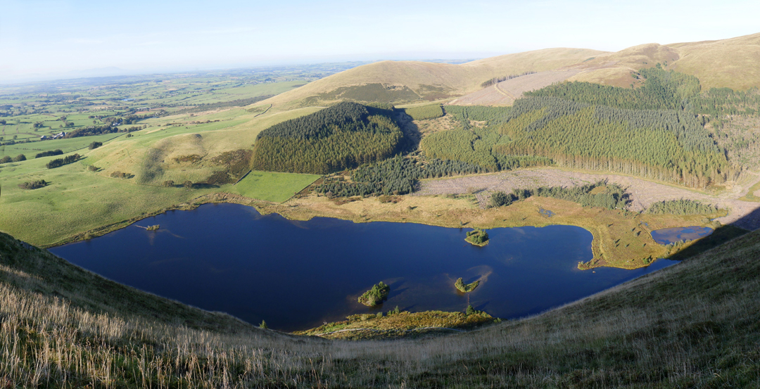
We venture to the edge of the fell and look down on the Cogra Moss reservoir below. Perspective from this height is difficult and it took several attempts with composite photos to make a reasonable representation of the view.
Looking down on the seat that we visited earlier this month It doesn't look as wet from this distance as it seemed on the day . . . perhaps it has dried a little.
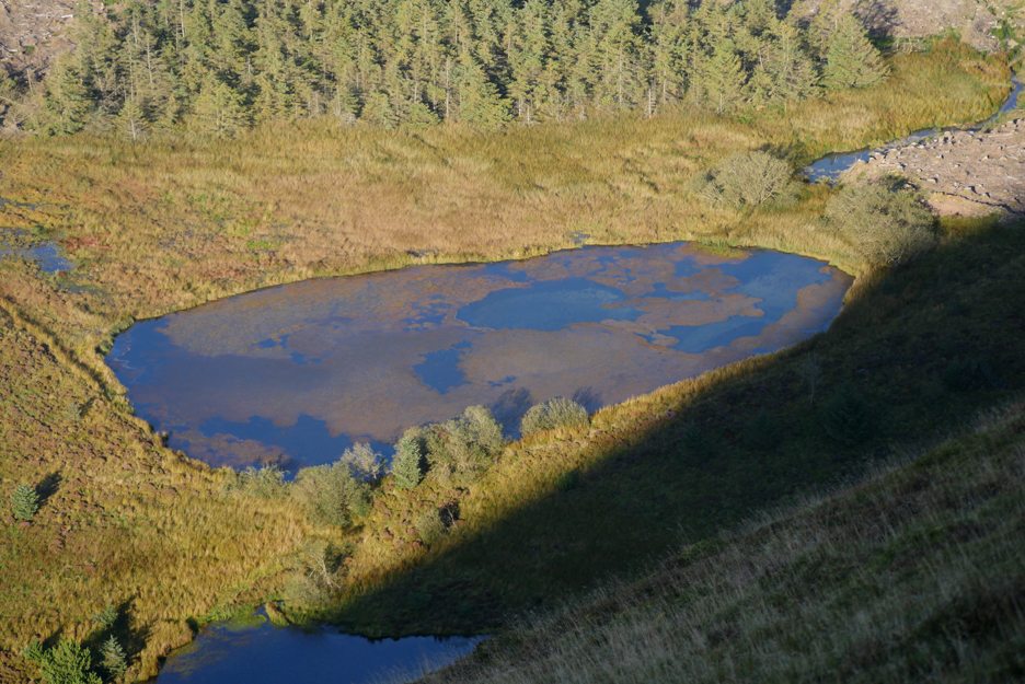
A secondary pool at the head of the reservoir looks to be reflecting the clouds in the sky, but there aren't any and the 'world map' effect must be the vegetation in the pool altering the reflection from above.
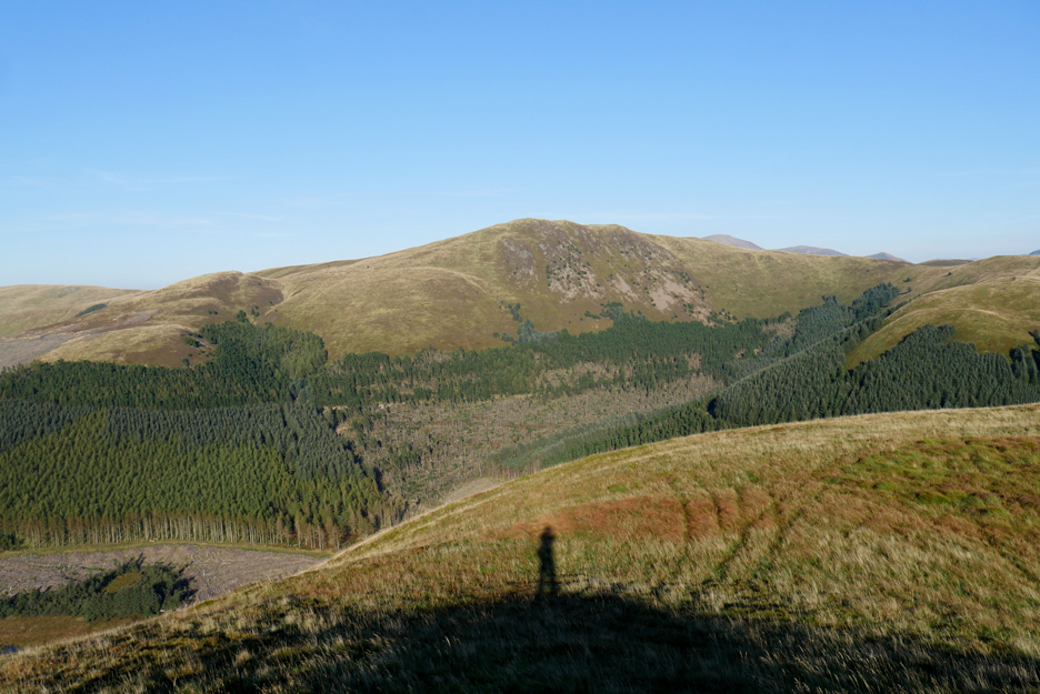
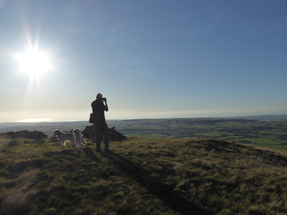
Blake Fell . . . with my shadow cast onto the ground below.
I move to the true summit for a little spin.
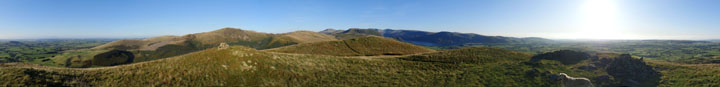
Click here or on the photo above for a 360 degree annotated panorama taken from this delightful viewpoint.
A little extra detail . . . hazy Scotland as represented by Criffel on the other side of the Solway Firth.
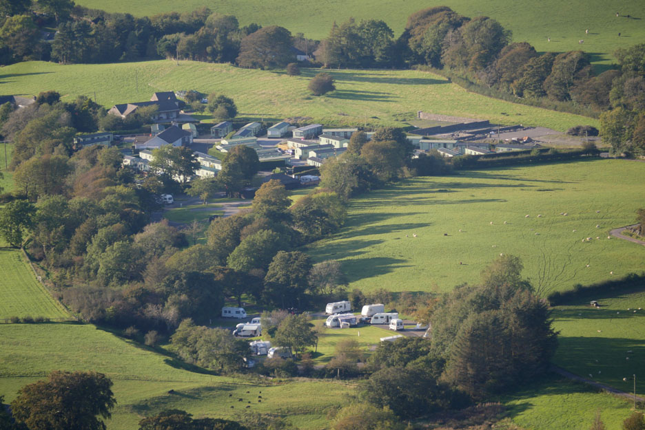
Dockray Meadow touring caravan site and Inglenook chalet park. One of the caravans seen here belongs to Steve and Michelle Cater who would call on us a few days later for their 2020 copy of their favourite calendar and a chat over coffee about our experiences over the years of touring the Outer Hebrides with and without a caravan (nice to see you both).
As the sun sets ever so slowly towards America it is time to head down.
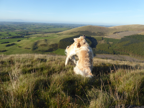
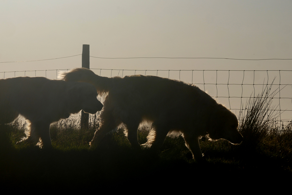
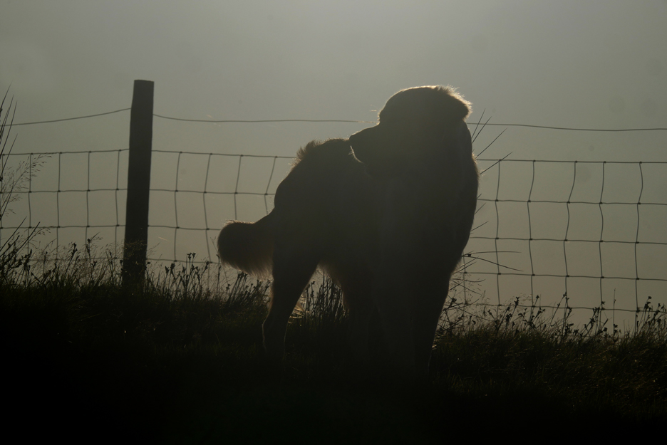
By the old trench I catch the dogs highlighted against the late afternoon sun. Perhaps they could just sit and turn their heads slightly to add that golden spectre to their heads ?
No . . . they just wanted to walk back and see why I had stopped !
Go back that way . . .
Follow Ann . . .
Well I tried . . . sometimes it really is . . . "never work with children and animals" !
Leaving the high ground we retrace our steps to the spoil heap on the side of the fell, the angled pathway down is longer but is a much kinder gradient for descent.
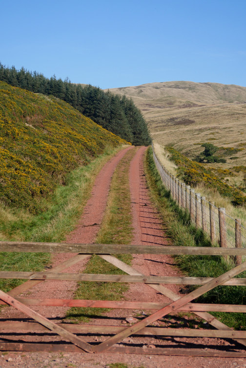
All that remains is to walk back down to the gate below and follow that red brick road back to the car. - - - o o o - - - |
Technical note: Pictures taken with either Ann's Panasonic Lumix TZ60, or my Panasonic Lumix Gx8 Camera. Resized in Photoshop, and built up on a Dreamweaver web builder. This site best viewed with . . . or should I say without someone locking the middle gate and making us climb over it ! Go to Top . . . © RmH . . . Email me here Previous walk - 17th Sept - Whinlatter Top in the Sun A previous time up here - 19th October 2016 - Knock Murton with Trevor and Gill Next walk - 21st Sept - Two Faces of Crummock
|