![]()

Remember: Press F11 for a full
screen view of this page.
Web Counter when published 1 684 583
|
|
|
Remember: Press F11 for a full
screen view of this page. |
Web Counter when published 1 684 583 |
|
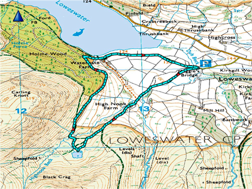
" Hilton in Loweswater " Date & start time: Saturday - Tuesday 20th - 23rd July, 2019. Location of Start : By the red phone box, Loweswater, Cumbria, Uk. ( NY 143 211 ) Places visited : Crummock Water, High Nook Tarn and Brackenthwaite Hows. Walk details : High Nook walk ... 2.5 miles, 400 feet of ascent, 1 hours 30 mins. Highest point : High Nook Tarn, 712 ft - 219 m. Walked with : Hilton and dog Pippa, Ann and our dogs, Dylan and Dougal. Weather : Overcast but humid ... overnight rain and breezy ... but daytimes okay. |
© Crown copyright. All rights reserved. Licence number PU 100034184. |
|
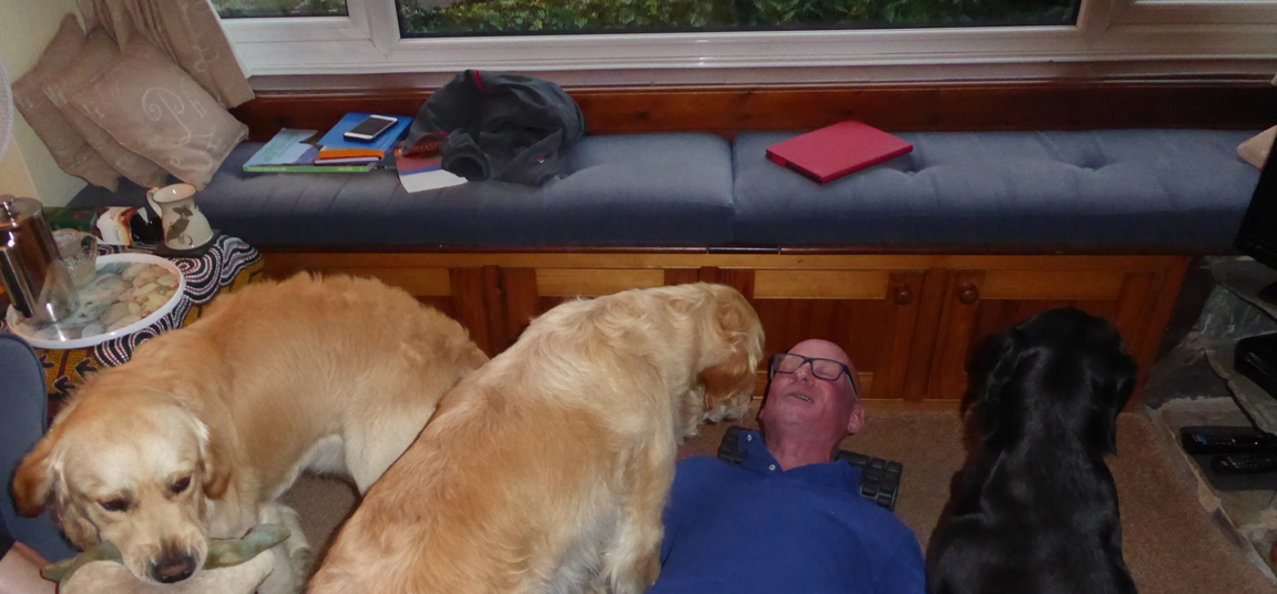
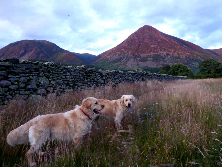
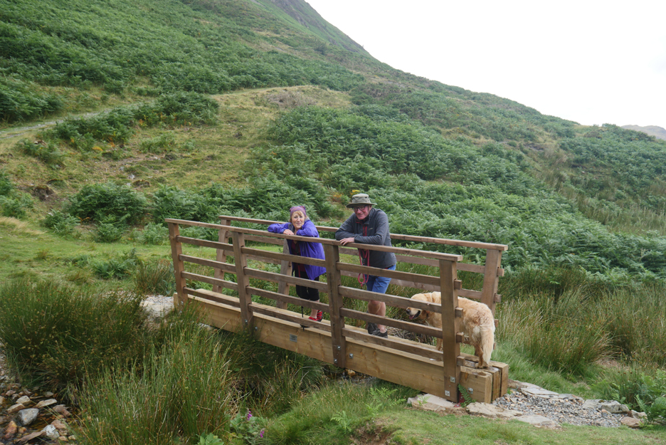
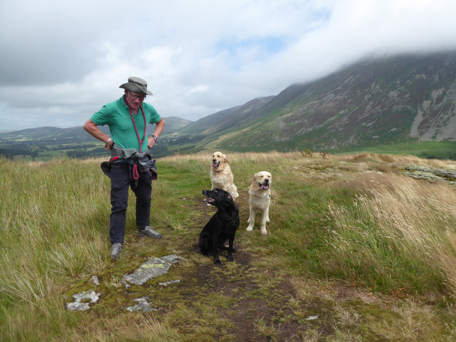
Our friend Hilton is up from Thringstone in Leicestershire for a long weekend in Loweswater. Having lost his dog to old age a while back, he's normally dog-less nowadays . . . but this weekend he's mobile dog sitting for a friend so our two dogs have a visitor to stay too.
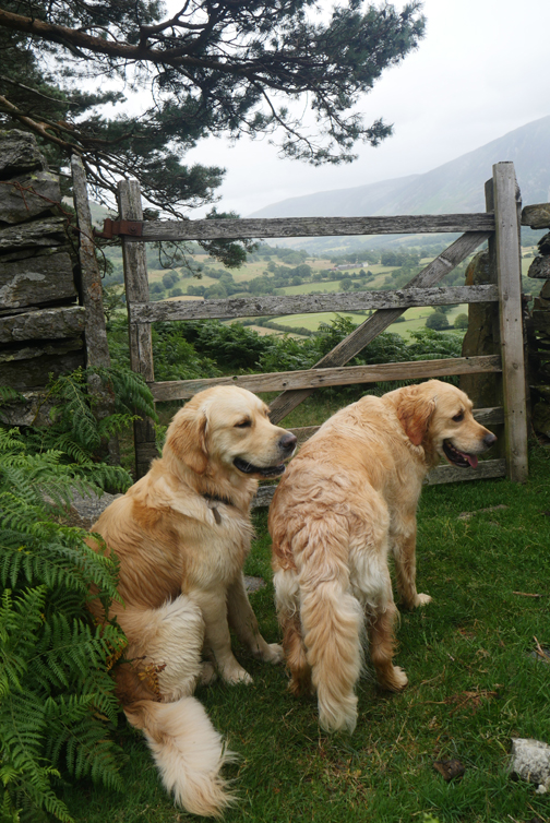
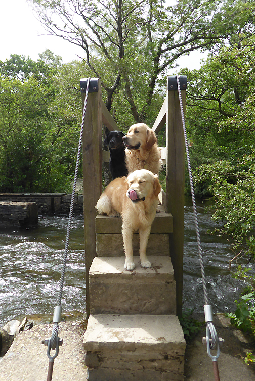
Meet Hilton . . . he's third from the left . . . Pippa is fourth.
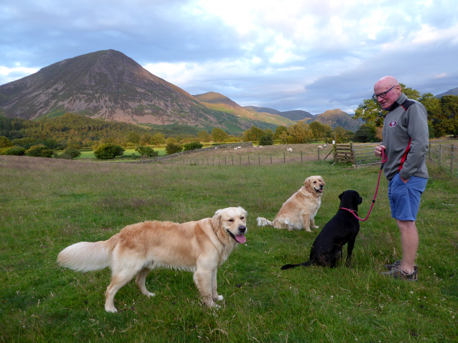
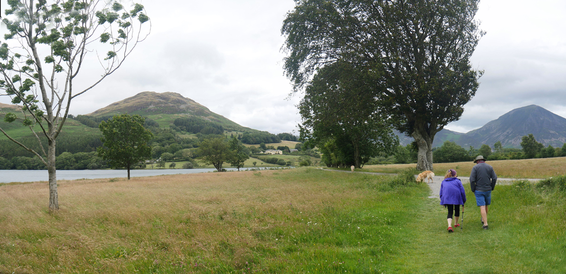
After travelling across late afternoon and not having walked 'his' dog, after supper we managed a late walk down to the lake. It was nearly 9pm before we started . . . the long summer days making such a late trip a viable option. Ann relaxed at home after supper as she had already walked the same route with the dogs earlier in the afternoon.
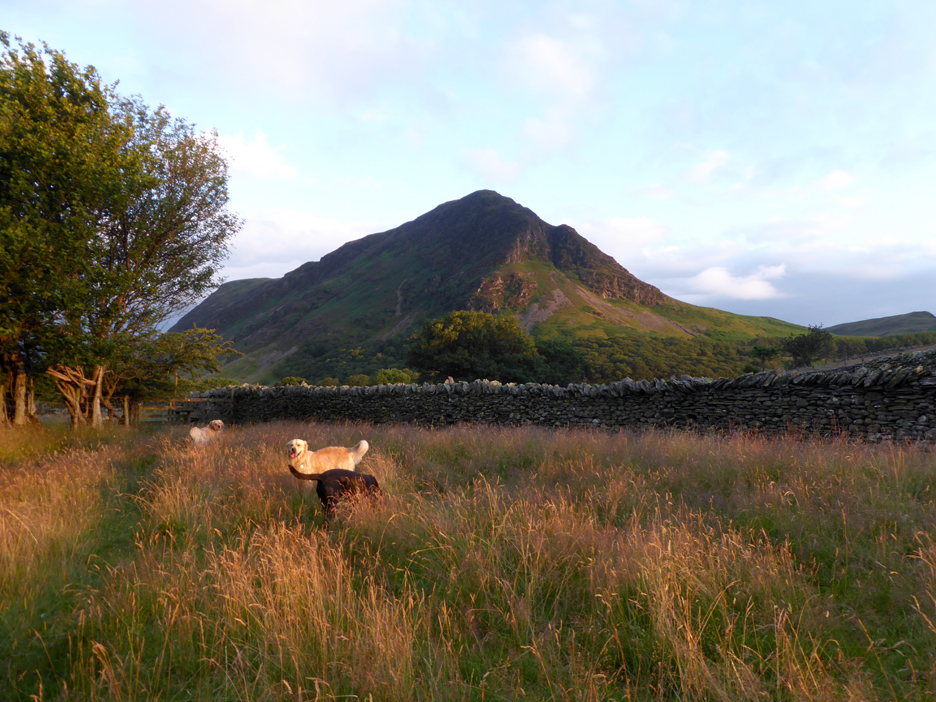
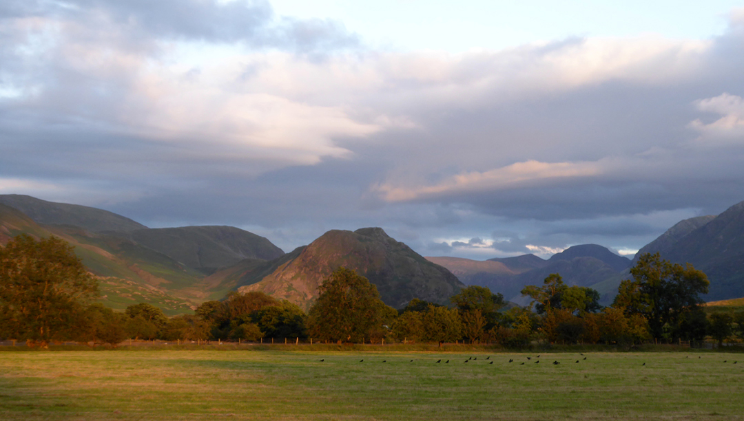
The low evening sun shone across the tops of the tall grass in the under-grazed sheep field.
The visibility was good and we could see all the detail on Brandreth and the distant Gable Crags. On the cut grass in the adjacent hay field are about a quarter of the local crow population. It wouldn't be so bad but they frequently greet us with a loud "squarking" dawn chorus (5-6 am) right outside our window as they scour the garden for the food which has fallen from our bird table.
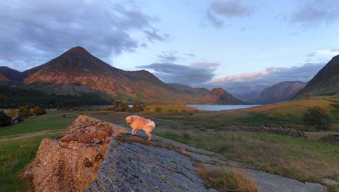
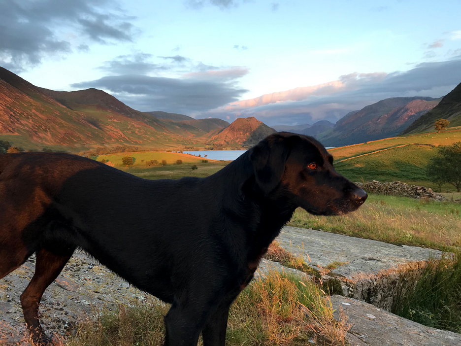
We headed down towards the lake, diverting to the top of the rock in the field alongside Park Beck (seen on the left). The golden rays of the departing sun emphasise Dylan's colour beautifully.
It was setting behind Loweswater . . . which is hidden in the gap between Carling Knott and Low Fell.
Hilton took a photo of Pippa to send to her owners. It looked great on the phone . . . but there was a great splash of saliva right across her snout which was pointed out on our return.
With the aid of a little 'photoshop' magic the problem was put right . . . and Pippa now looks a little more regal.
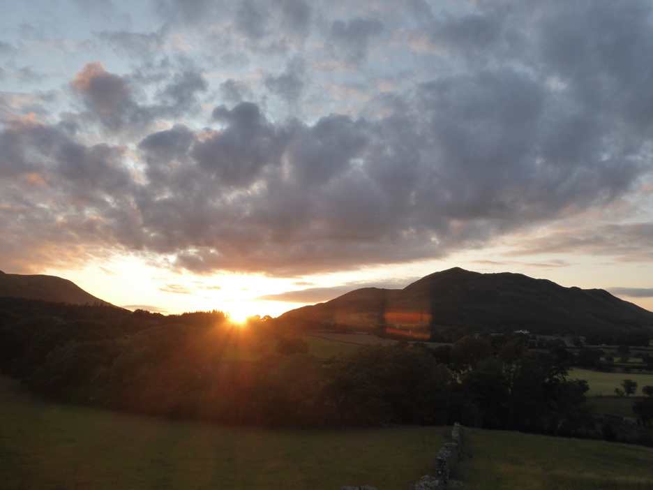
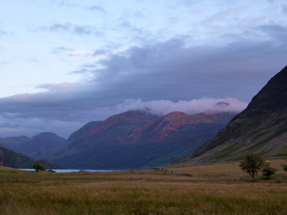
We were hopeful of bright colours from the sunset but sadly the sun in the clear skies out to the west failed to really develop a golden glow.
There was a brief period of delightful pinks which illuminated several parts of the valley. Here it colours Buttermere's Dodd Fell, just underneath the wisps of cloud shrouding Red Pike and the High Stile Ridge.
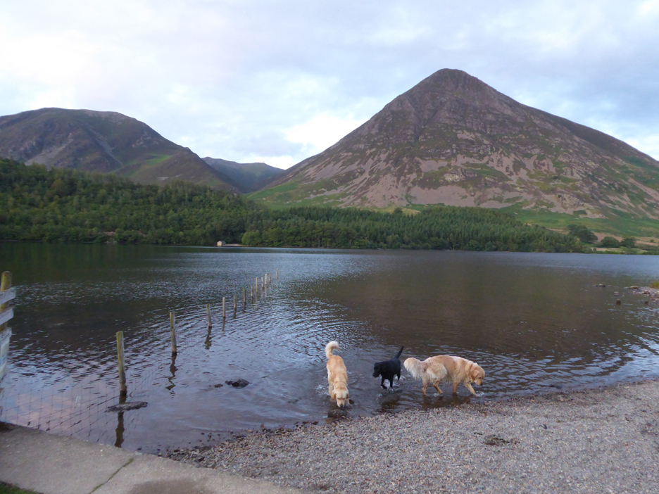
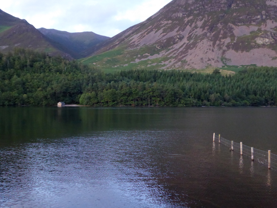
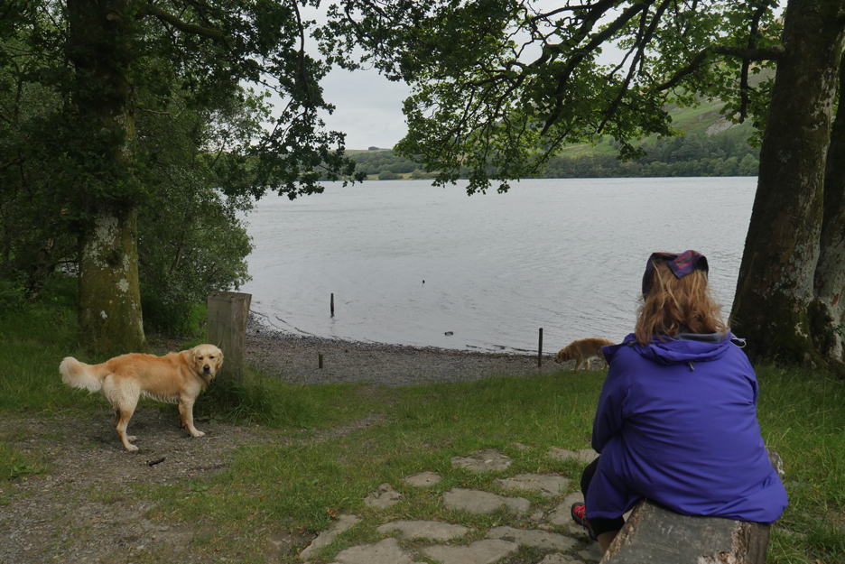
Down at the small beach . . . the sunset colours have gone now and there's a cooler feel to the evening. The dogs enjoy a few moments chasing sticks, pine cones and anything else we cared to throw into the water for them.
The water level in Crummock is low due to the recent low rainfall. The fence is more than half exposed and with a little imagination you can see the lighter stone slabs opposite the two end posts that mark the old Victorian landing stage on this side of the lake. Back now via the "Gated road", also known as the Waterboard track, from the pump house to the road at Muncaster House.
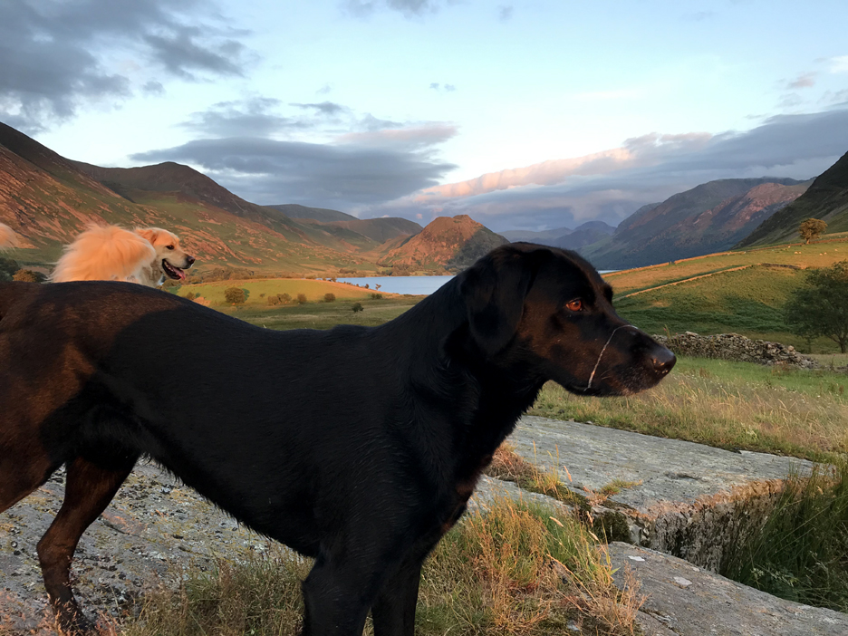
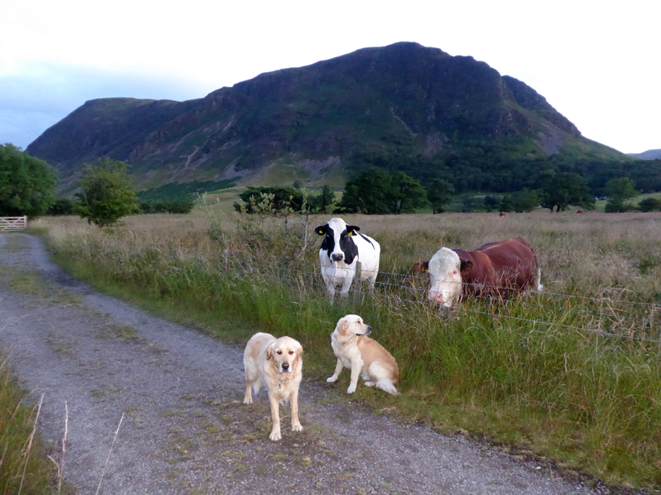
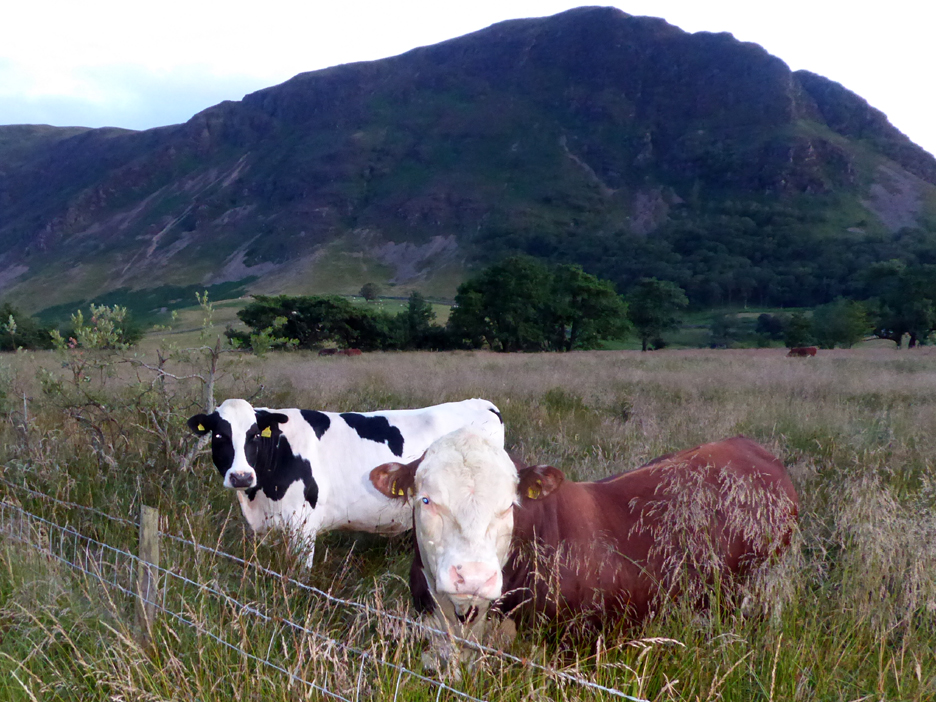
The local farmer has his cattle in the adjacent field. One of the cows and an enormous brown bull came over to see us as we passed. Fortunately the fence was a good one and the cattle seemed good natured and calm this evening. Dougal is looking somewhat bemused !
They look almost sad at our passing as if it was the highlight of the last few hours, if not of their day. - - - o o o - - - Sunday afternoon and we venture out on another local walk after lunch.
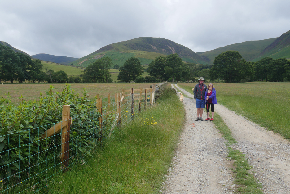
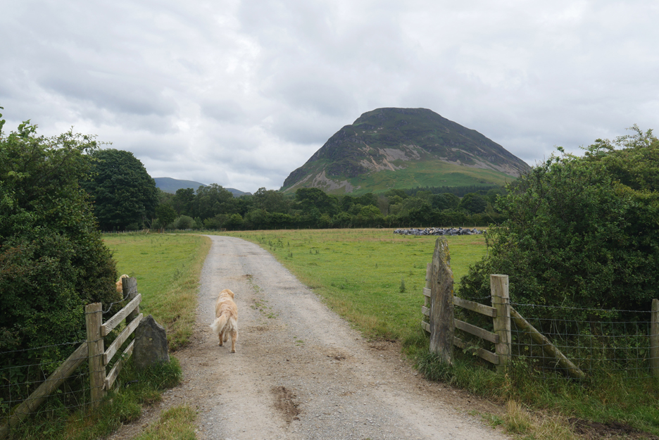
The weather this day was overcast, threatening possible rain from dark clouds out to the west. We travel confidently (?) with non-waterproof clothing, up the farm track towards High Nook.
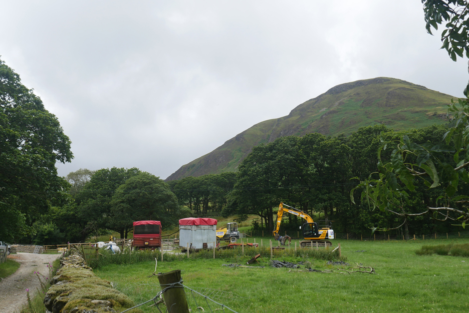
The farm has had a digger and dumper truck delivered recently, purpose unknown as the High Nook Bridge is now fully repaired.
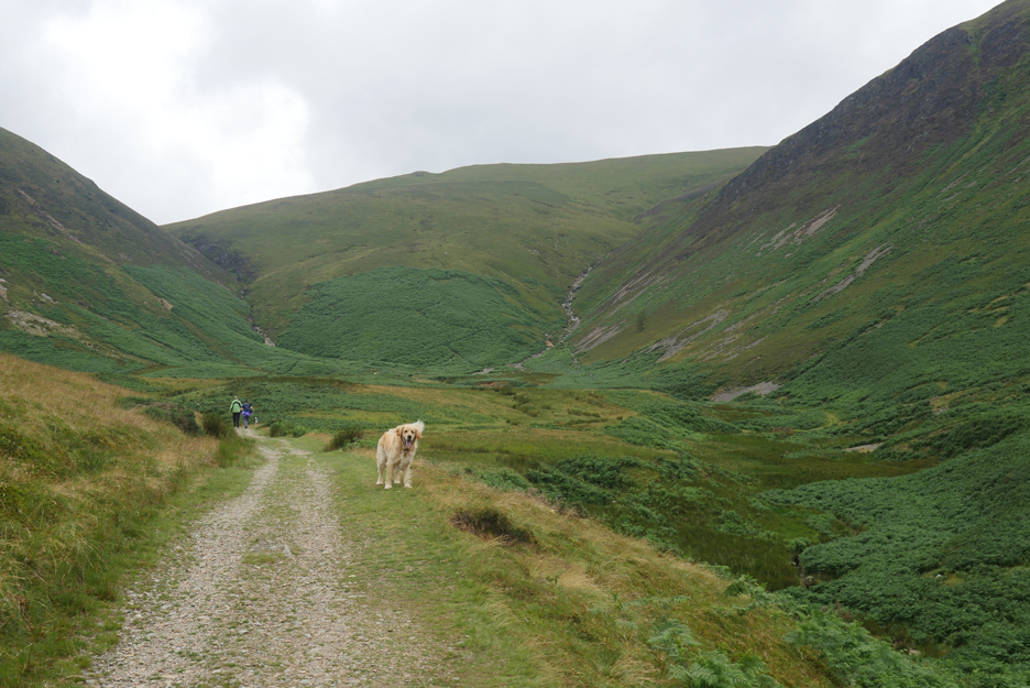
We pass through the farm and on up towards the elevated section of the High Nook Valley. We were overtaken by a couple of American visitors who were heading for a longer walk along the "coffin route".
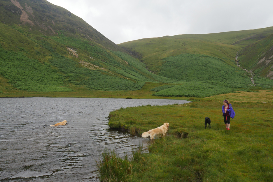
Our first objective was a visit to the small tarn tucked into the fellside below Black Crag.
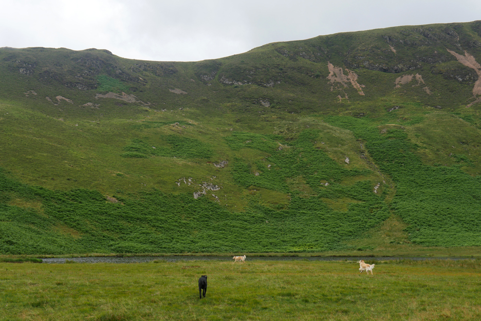
The smallest of stone banking has turned an old boggy area into a delightful shallow tarn.
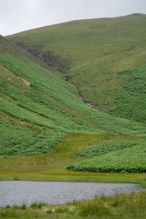
The dogs enjoy a walk . . . if not a swim in the water. The valley is fed by the two streams, but strangely neither flow into the tarn, both flow directly downhill on the other side of the valley.
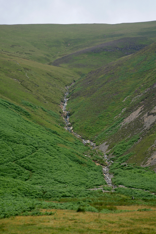
A very local flash flood a couple of years ago caused a mud slide, the scar of which can still be seen on the right hand tributary but not on the left.
The secondary result of that flood was the undermining of the bridge lower down by the farm and the complete demolition of the small footbridge that used to be on the coffin route which climbs the fell ahead of us.
It has been replaced this year and now walkers can once again cross the beck dry-shod.
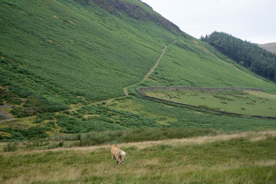
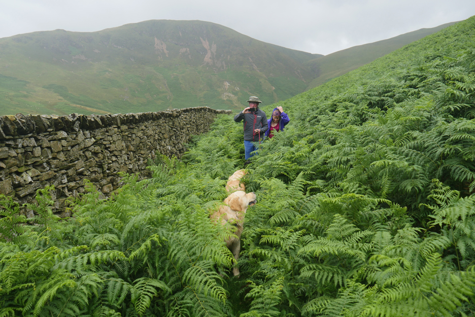
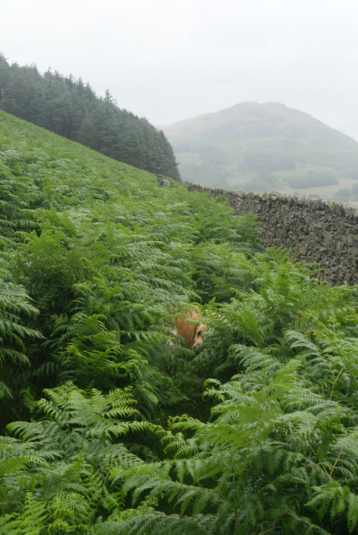
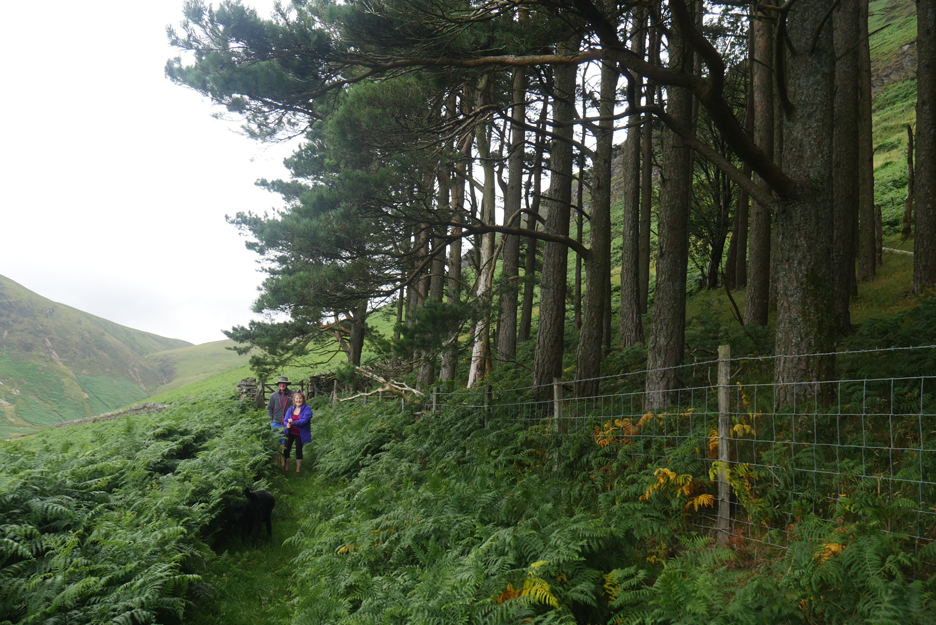
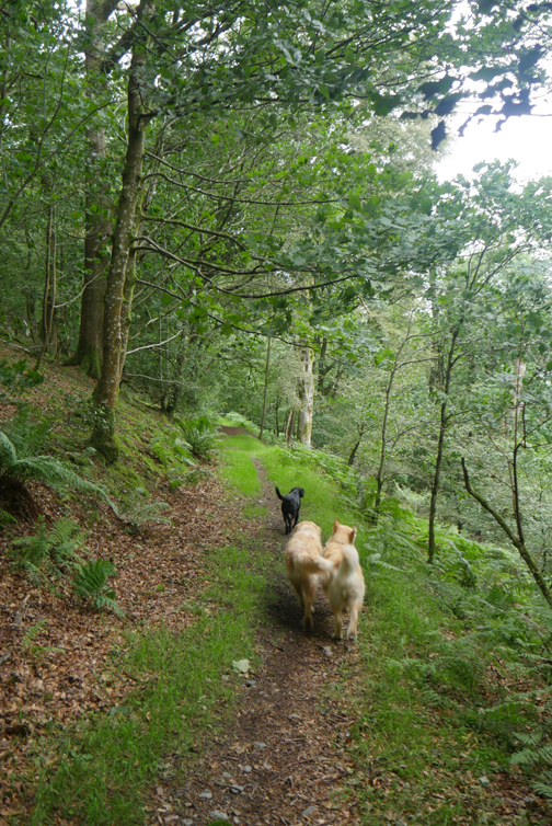
Rather than take a longer route to the top of the hill we opt for the minor path direct into Holme Woods. It is a little used path . . . and in summer it has become very overgrown with bracken !
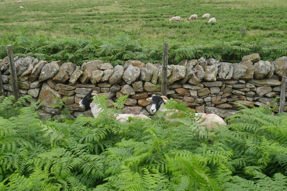
Two Swaledales stay put by the wall as I don't think they noticed us till the last moment. No point in running away . . . they couldn't see where they would be running to !
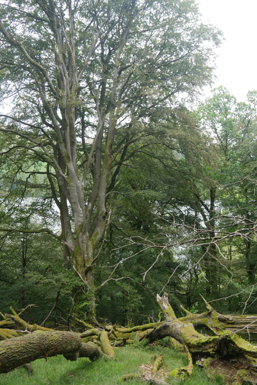
For those that know it, these are the trees that make up the beak of the "Loweswater Pheasant". After the war, during which the woodland was clear felled, it was replanted by the National Trust. They chose an unique artistic shape and colour for the woodland that now spreads like a pheasant's image across the fellside.
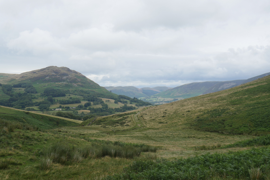
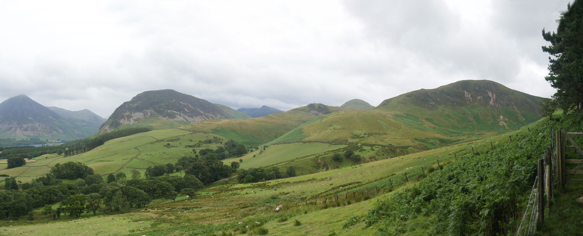
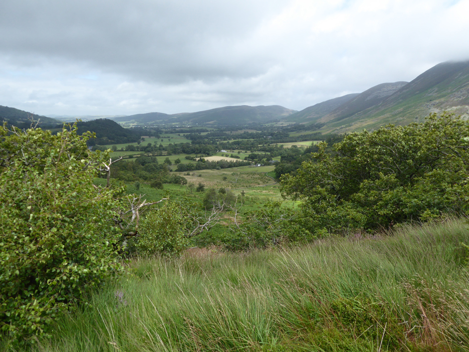
From the track we look across to our ascent route up from the farm. Behind the fields below are the outlines of Grasmoor, Mellbreak, Red Pike, Hen Comb and Gavel's Black Crag on the right. Recently visited High Nook Tarn is far away now, hidden below the pink-ish looking scree runs on the face of those crags.
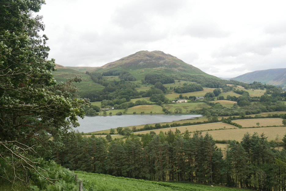
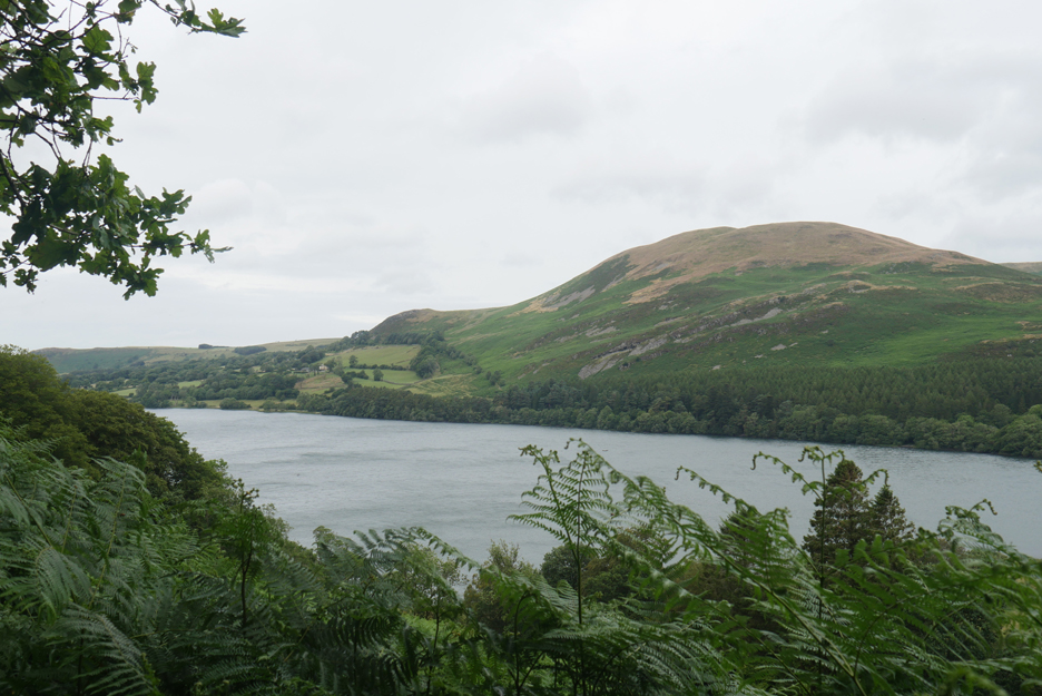
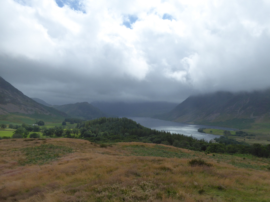
Our attention is drawn now to the blue/grey waters of Loweswater ahead. They would have been bright blue by choice but we can't control the colour of the reflection from the overcast skies.
Rounding the fellside we enjoy a fuller view of the lake.
The rowing boats have gone, a victim of under-use and over zealous Health and Safety legislation. However . . . the seat is still there and the view is still worth stopping to enjoy.
Ann and Hilton lead the way back across the meadows adjacent to Watergate Farm.
In the centre of the next field are a supply of stone-filled bags, presumably for "Fix-the-Fell" path repairs. They await a helicopter removal . . . maybe the digger we saw earlier is being used to fill a few more sacks ?
On Monday morning before he headed off, Hilton and I grabbed and extra walk out onto Brackenthwaite Hows.
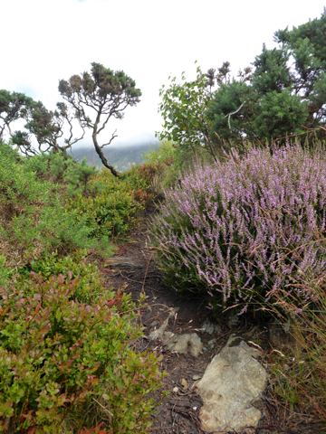
We had talked of the recent "Turner" connection and so ventured up onto the fell to show Hilton the view. Along the way we passed through multiple habitats.
Hilton studies the summit . . . intensely . . . or perhaps he's just having a deep conversation with Pippa.
The Turner-esque view from the summit of the old "Viewing Station".
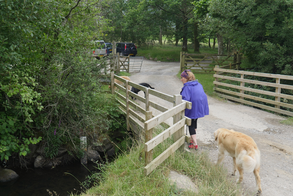
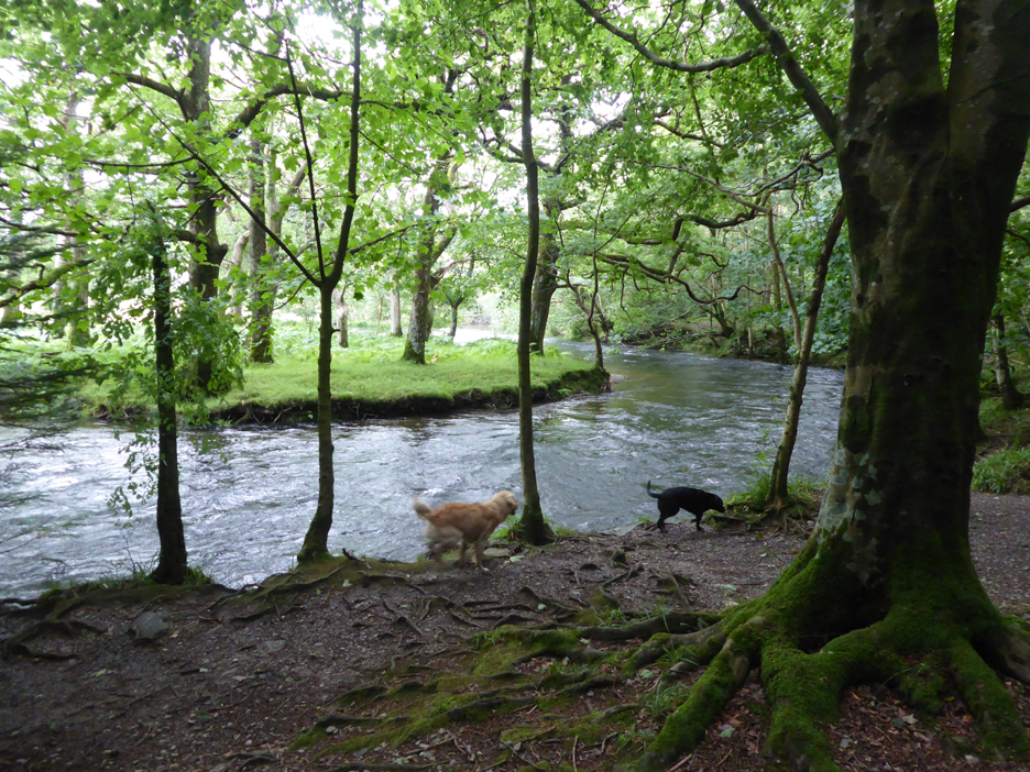
From the top we cut down into the woods and to the large bend in the River Cocker.
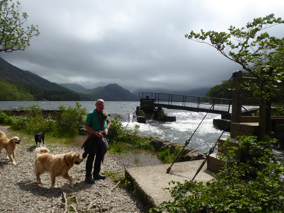
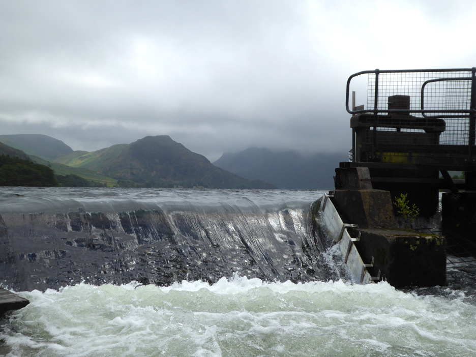
We headed upstream to the weir. The heavy overnight rain has caused the river to rise and now the water over the weir is flowing quite strongly.
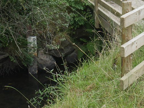
" Water Level " . . . higher than Hilton's first visit two days ago.
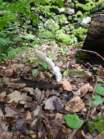
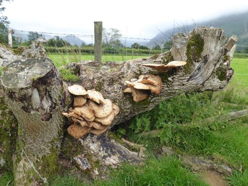
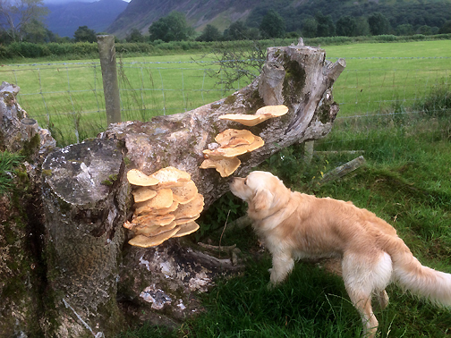
From bright new beginnings it is surprising how soon it starts to decay. Time to head back and for Hilton to pack the car . . . don't forget your dog-sitting companion. - - - o o o - - - |
Technical note: Pictures taken with either Ann's Panasonic Lumix TZ60, or my Panasonic Lumix Gx8 Camera. Resized in Photoshop, and built up on a Dreamweaver web builder. This site best viewed with . . . a welcome friend and his four-paws companion for the weekend. Go to Top . . . © RmH . . . Email me here Previous event- 9th July - Pin Mill and Sheffield 2019 A previous time up here - 24th August 2007 Two Loweswater Walks Next walk - 24-25th July - Hot Mellbreak, Dee and John
|