![]()

Remember: Press F11 for a full
screen view of this page.
|
|
|
Remember: Press F11 for a full
screen view of this page. |
|
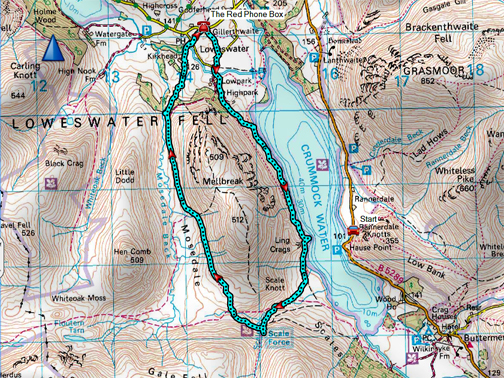
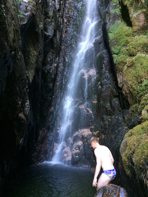
" Jack's Shower not a Bath " Date & start time: Wednesday 11th July, 2018. 9.45 am start. Location of Start : By the red phone box, Loweswater, Cumbria, Uk. ( NY 143 211 ) Places visited : Low Park, Low Ling Crag, Scale Force, Harry's Pool and back. Walk details : 6.5 miles, 1750 feet of ascent, 3 hours 25 mins. High point : Must be that dip in the waterfall ! Walked with : Cathy, Jack, Catherine and our dogs, Boris, Bilbo and Dylan. Weather : Sunshine, blue skies and hot. |
© Crown copyright. All rights reserved. Licence number PU 100034184. |
|
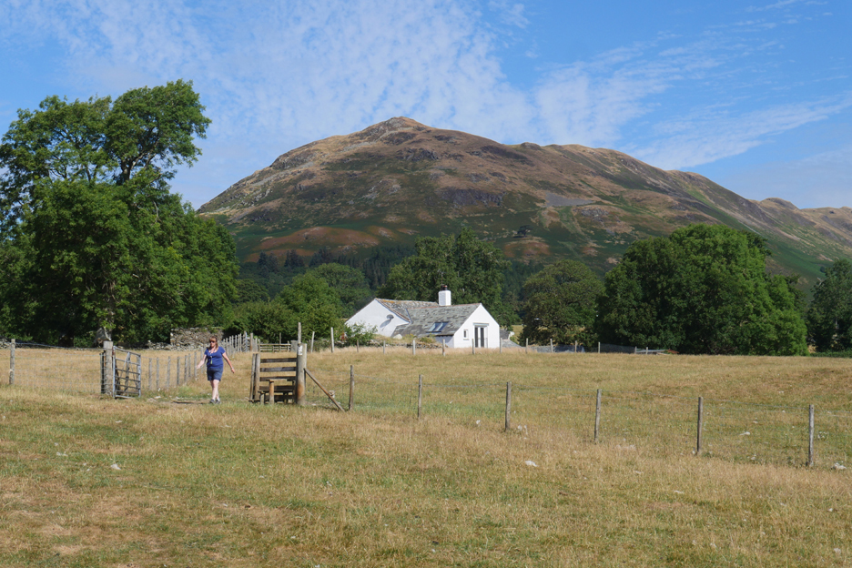
On the same day that Ann was on the Loweswater Ladies excursion (see link at the base of the page) Cathy, Jack, Catherine and I decided to do the low level walk around Mellbreak. On yet another hot and sunny day we decided that to have a shower at Scale Force rather than a bathe in the lake would be a great way to stay cool !
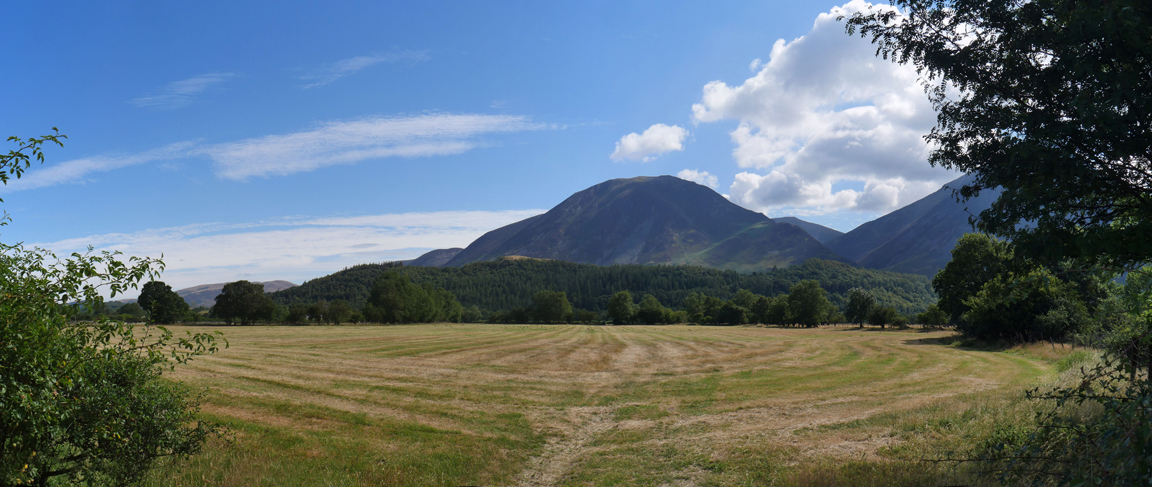
Parched grass that has really turned colour in the last week or so.
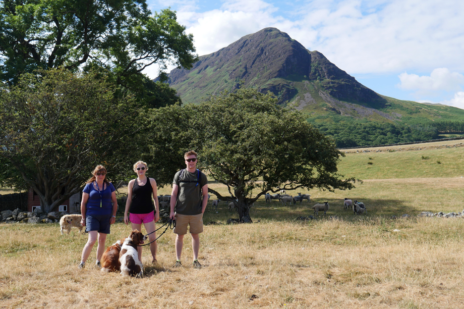
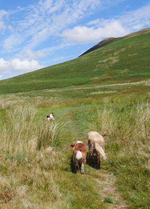
My companions today . . . Cathy, Catherine and Jack, plus the three dogs.
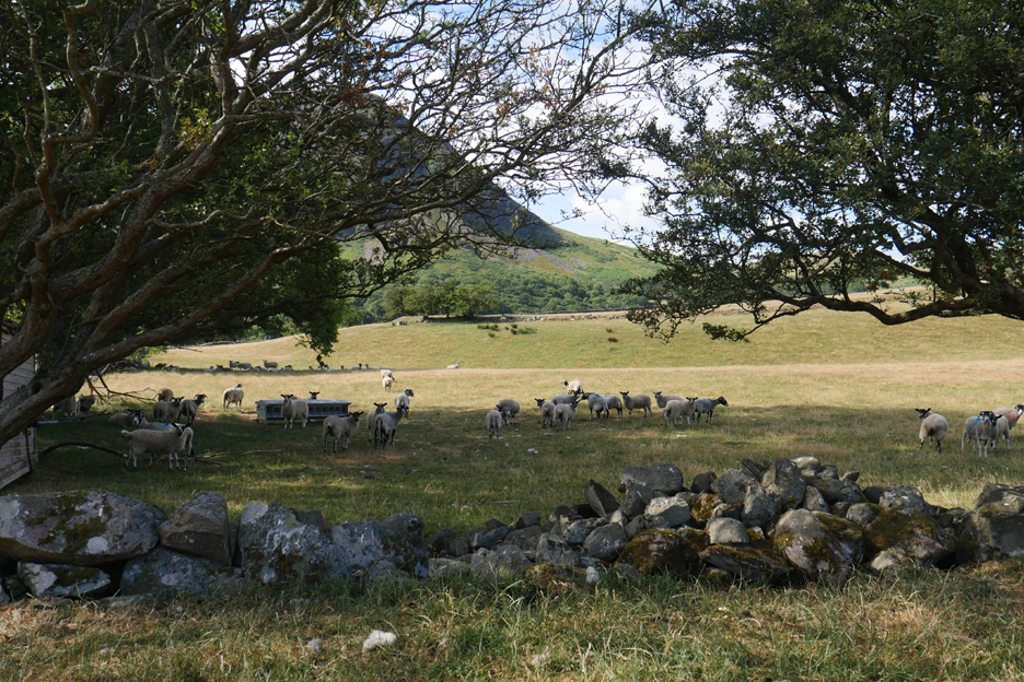
In the heat the sheep are sheltering in the shade under the trees
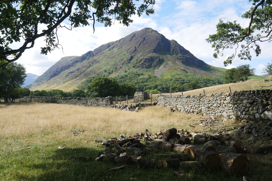
The farmer has cut up a fallen branch but not yet removed it.
They have had a reasonable first hay crop but the problem now is that there is no secondary growth. A second cut will be poor unless the weather changes. We hear that some farm animals are being fed new winter store or being put out into hayfields just to get enough to eat.
Deeper rooted plants like the tall grasses and the bracken are still finding moisture.
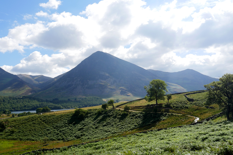
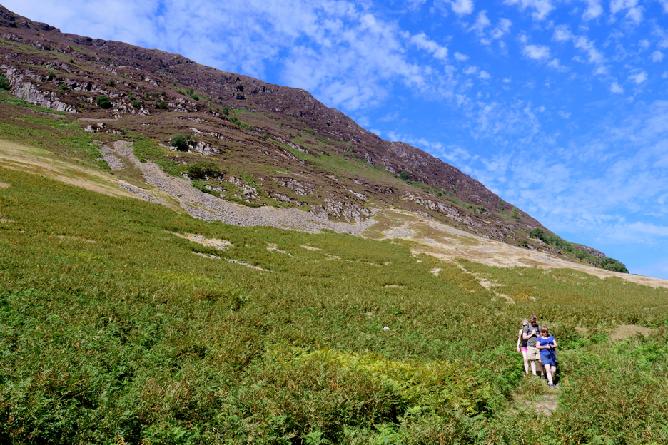
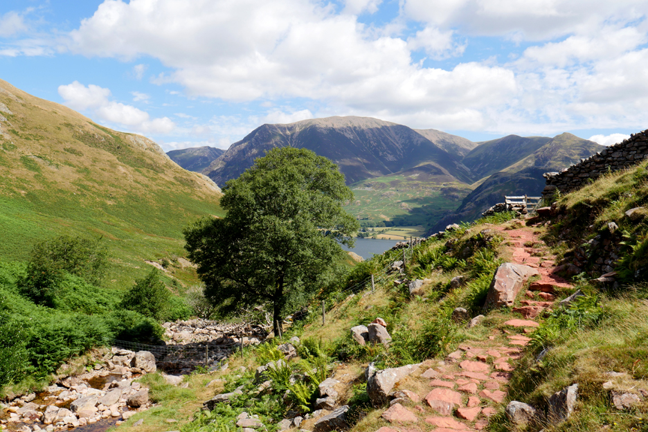
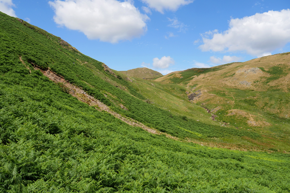
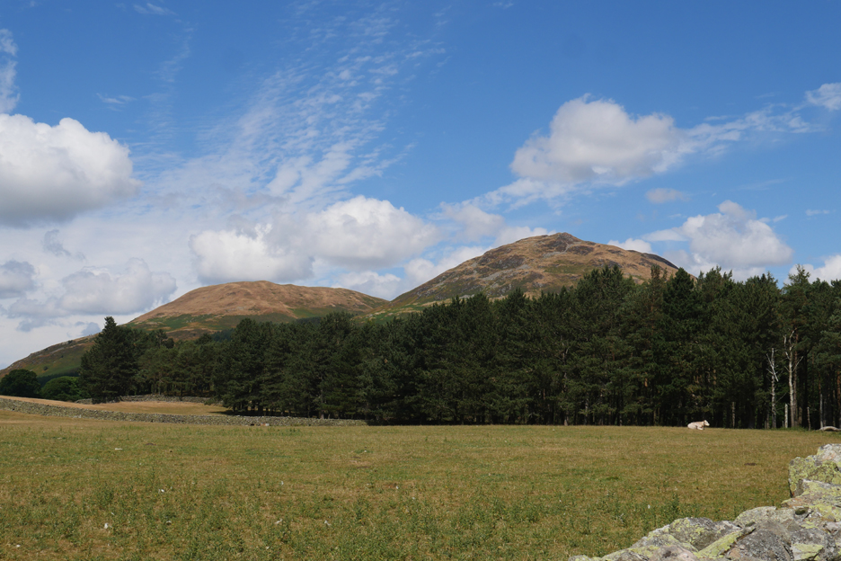
On the open fells where water is more scarce, some of the bracken is starting to change colour. In this photo we've topped the rise above High Park and descend to Crummock Water. There's a view of Jack and Catherine's Monday Rannerdale walk across the way.
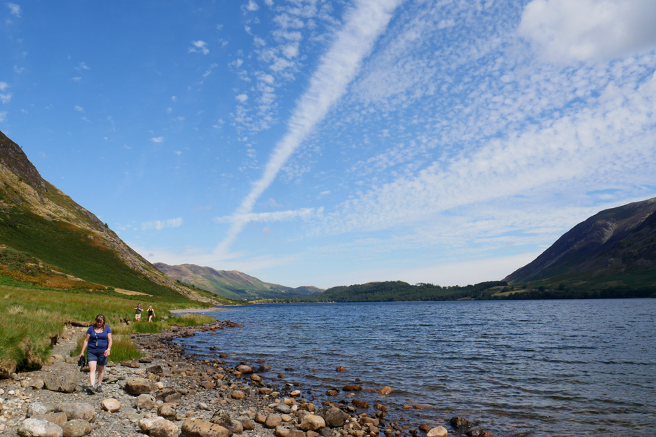
What was nice about today, apart from all the other nice things, was that there was an interesting amount of cloud in the sky making the blue stand out.
It also produced a certain amount of light and shade on the fells.
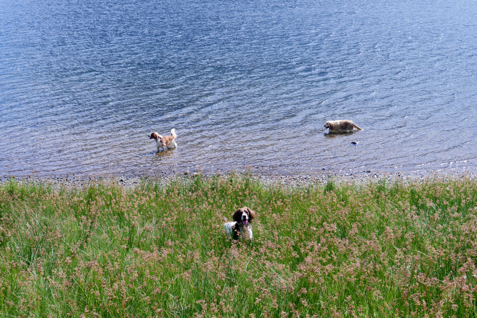
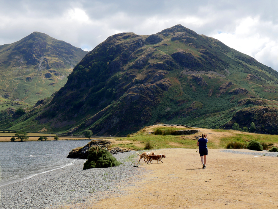
We've descended to almost lake level . . . Bilbo and Dylan are in and Boris is already on the way back saying that the water's fine.
We pass the Iron Stone and head on to Low Ling Crag. Not sure of the history of the stone, whether it is a glacial erratic, or just fell off and rolled down the side of Mellbreak millennia ago.
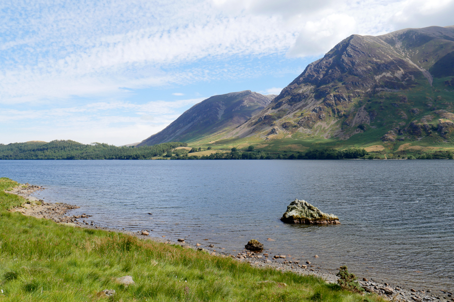
Interesting clouds, blue sky and consequently a rich blue reflection on the lake from the wide gravel beach.
As we pass the old hawthorn tree we're looking south into the light so colours are less impressive.
The lake level is about a foot or more down and the old wrought iron fence post is high and dry for a change.
If it is a foot or more down over the whole lake then that's an awful lot of water that hasn't fallen as rain in recent weeks.
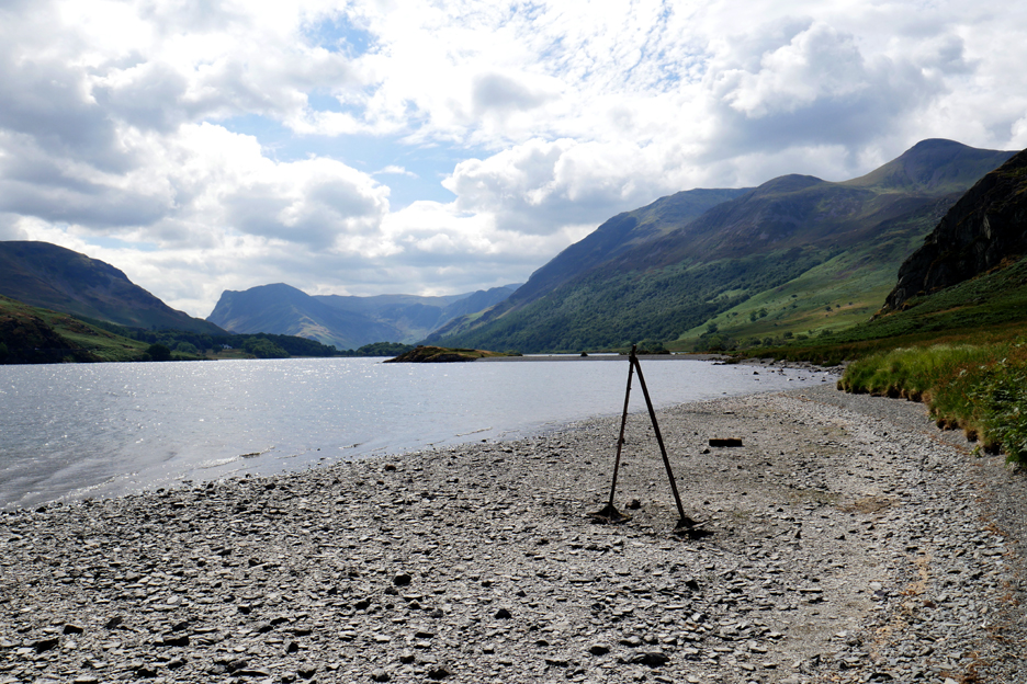
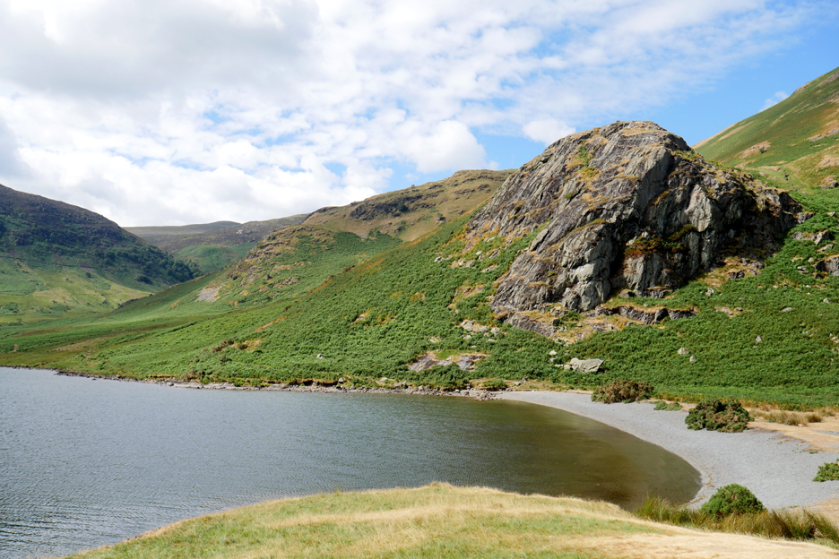
Low Ling Crag and the gravel bank we cross to approach it.
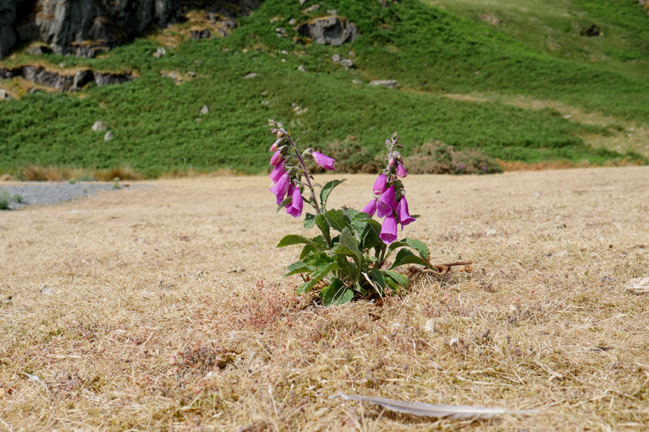
A deep-rooted foxglove survives despite the poor conditions but it is much smaller than normal. The rest of the grass around it is parched and withered.
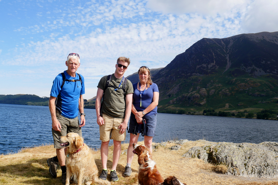
Family photo . . . taken by Catherine . . . thanks.
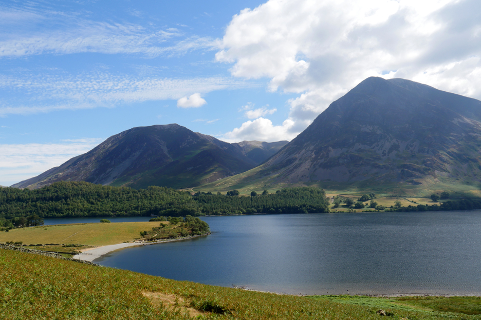
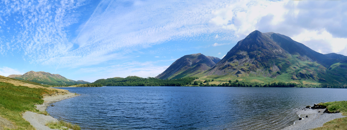
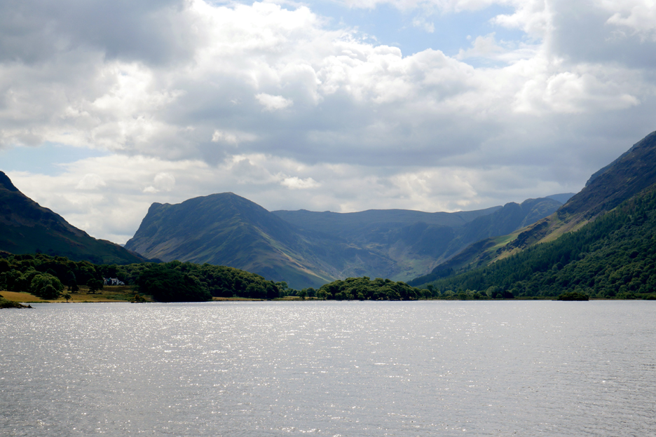
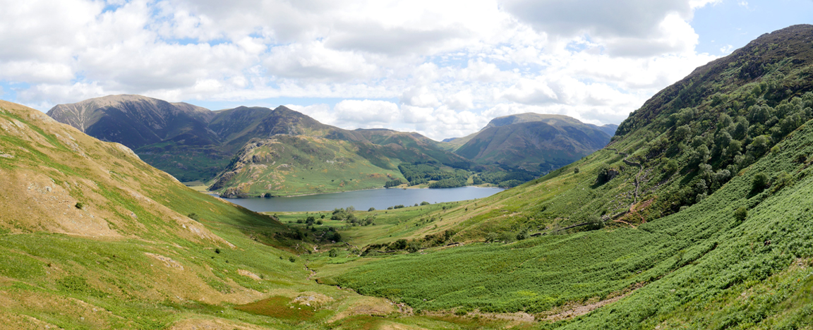
Low Ling Crag is always a nice spot to stop and look around. This is the view south east up Crummock Water to Fleetwith Pike and Brandreth.
Across to High Ling Crag . . . a hard rock intrusion on the side of Mellbreak that survived the glacial erosion. In the distant trees on the left of the photo is Scale Force waterfall . . . our next objective.
I hope there's some water in it as this part of Scale Beck is absolutely dry.
A little further on we catch up with the main stream which is still running reasonably well.
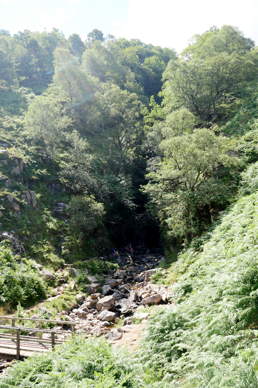
The tree cover in the gorge is sufficient to hide the sights and sound of the falls . . . but we know it is there ! The question is how much water is falling over the waterfall ?
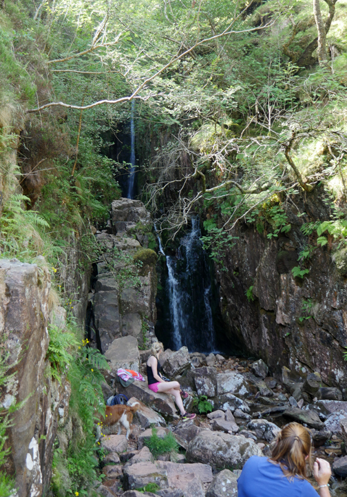
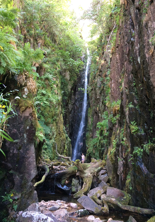
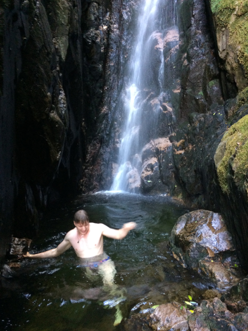
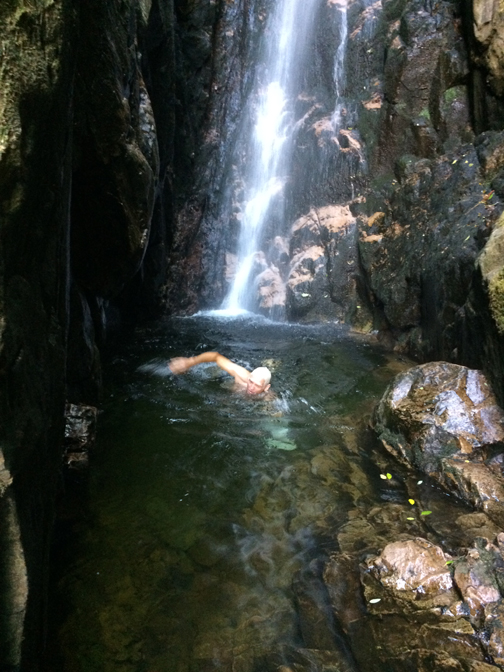
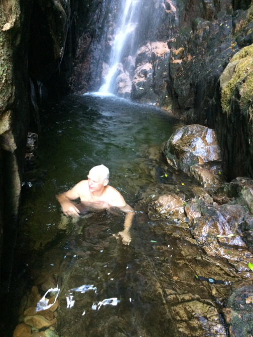
Jack is up ahead and adds scale to the photo. The highest waterfall in the Lake District is Scale Force with a single drop of 170 ft, and two other cascades of about 20 ft.
He thought he might have a shower today but the falls are too small and the pool too deep to stand under it.
Hold your cursor over the picture to check out the swimming style (if your system will allow).
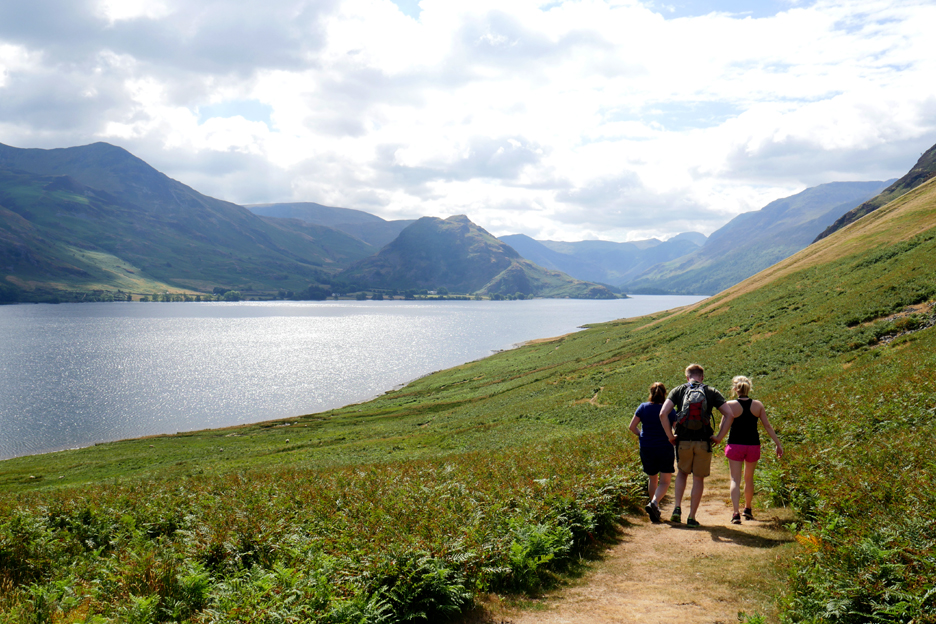
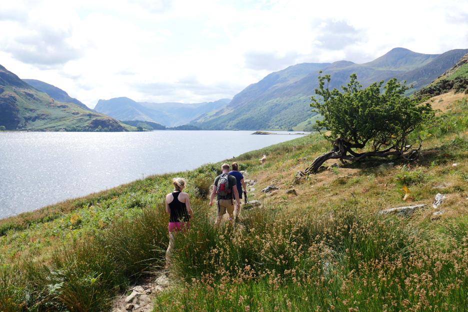
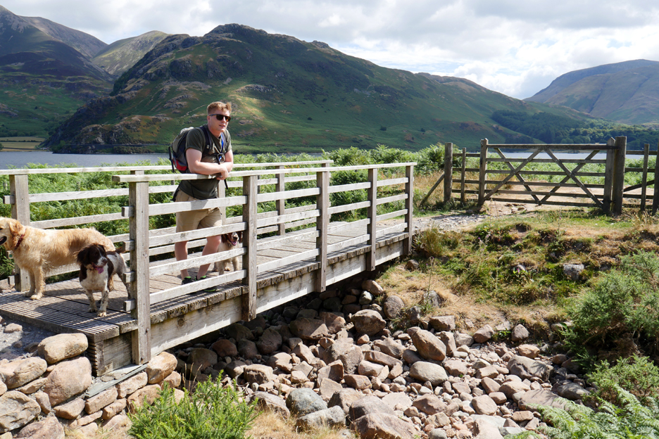
Back out into the sunshine and back out into the warmth of the day. The stream leads to the lake, the yellow (red) brick road, through the gate and on up towards Red Pike.
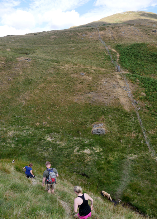
We're heading on around Mellbreak . . . so we've a slight climb ahead of us.
We've crossed above the landslip and looking back at Grasmoor, Whiteless Pike, Robinson and the Newlands Pass.
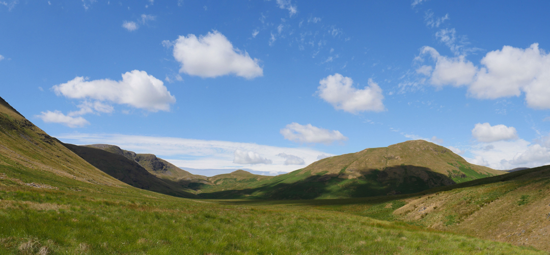
At the top of the slope our view west is of Great Borne, Floutern Cop and Hen Comb across the 'moss' of Mosedale.
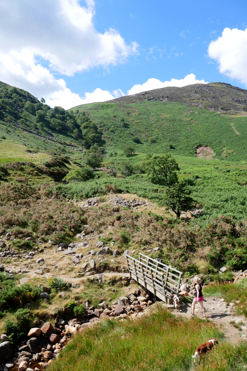
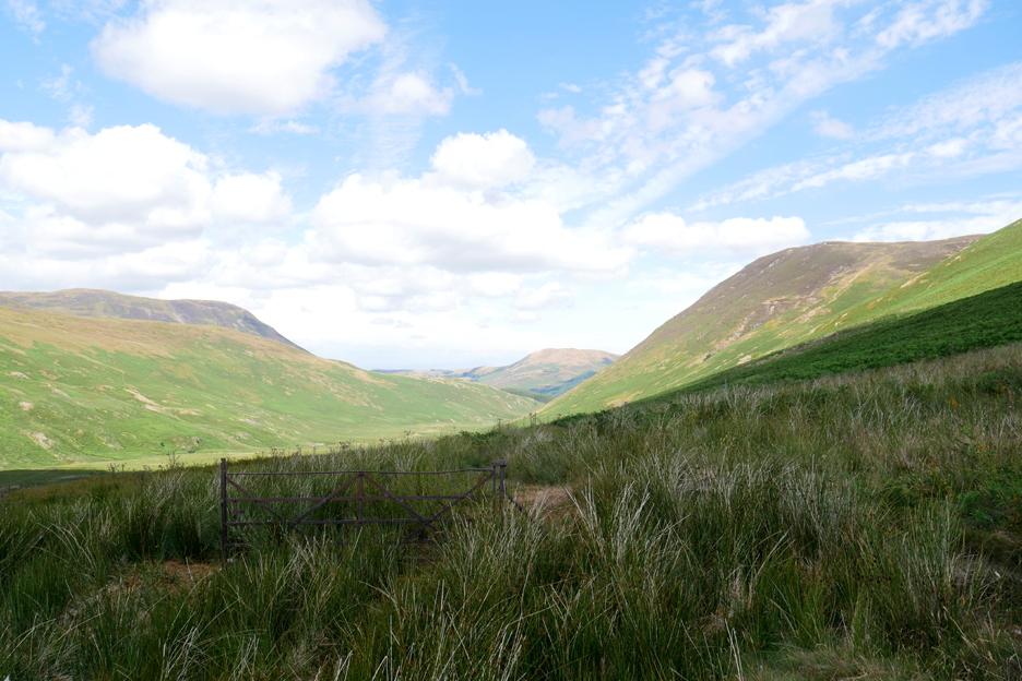
. . . took us onto the flanks of Mellbreak where we joined the footpath down Mosedale. Part way down we pass this old gate, the fence it was associated with has long disappeared.
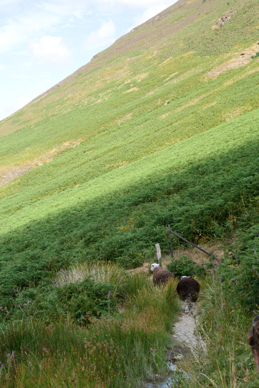
Eventually we out-manouvered them at the junction with the Ennerdale track and had a more leisurely walk down the valley.
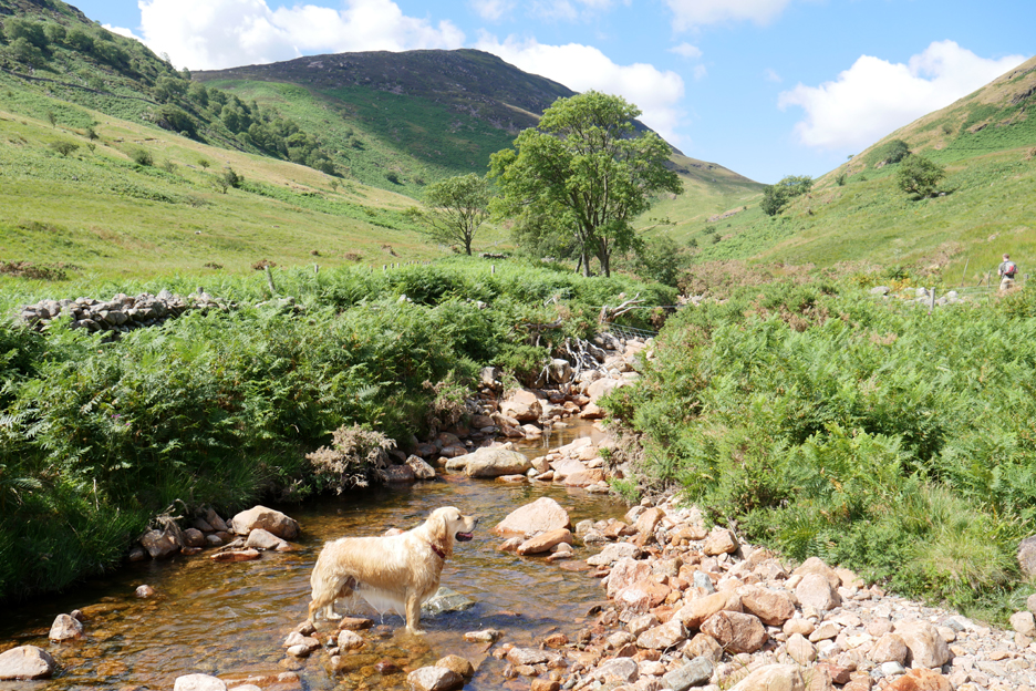
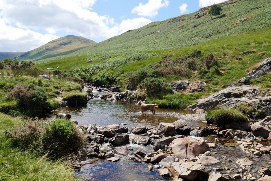
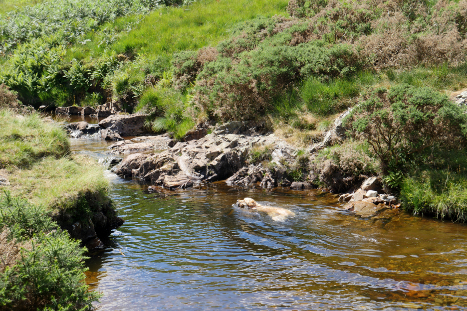
Dylan diverted to Harry's Pool without even asking . . .
. . . and enjoyed a cooling swim in the water.
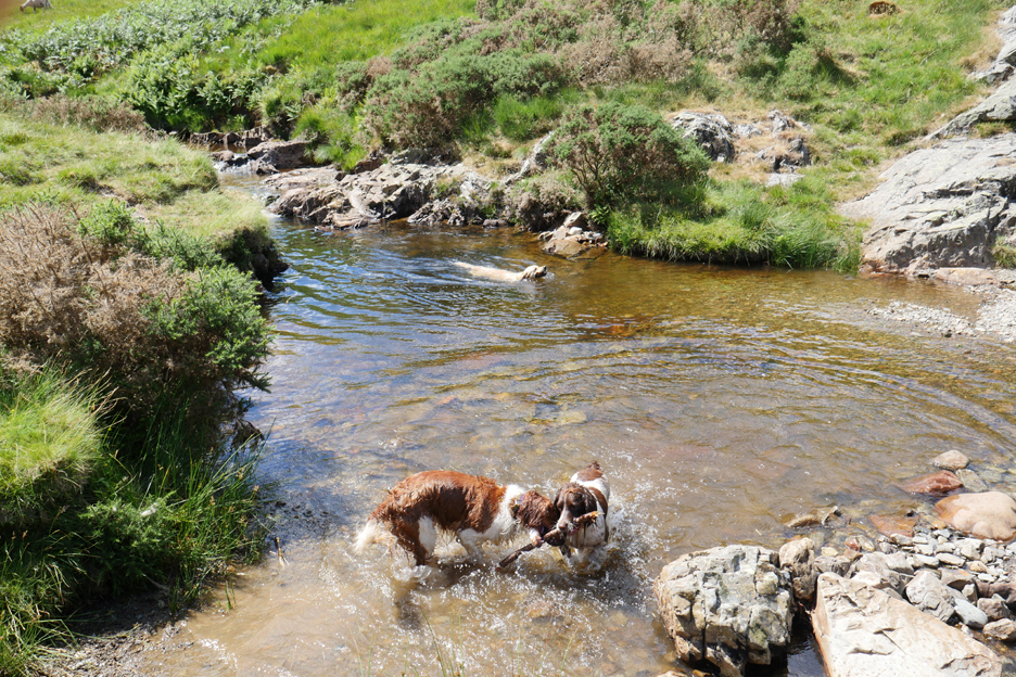
Bilbo and Boris were having more fun chasing sticks.
No swim for us today as we were heading back for a late lunch at the cottage.
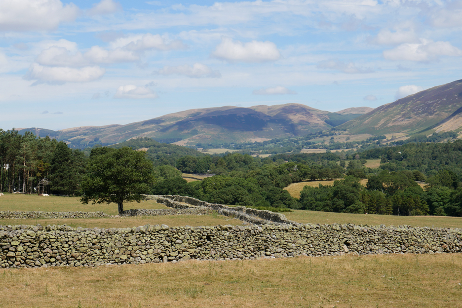
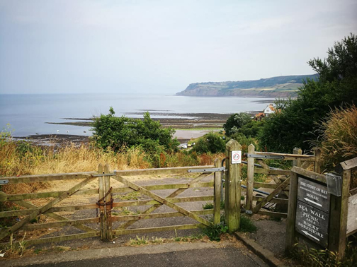
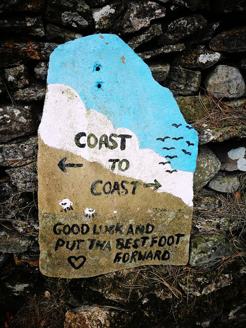
Darling Fell and Low Fell are looking as yellow as the fields in the valley. No rain today again but some is forecasted in the next few days However, don't hold your breath ! - - - o o o - - - We mentioned that our other daughter and a friend were walking the Coast to Coast footpath. I've copied some of her Facebook photos below.
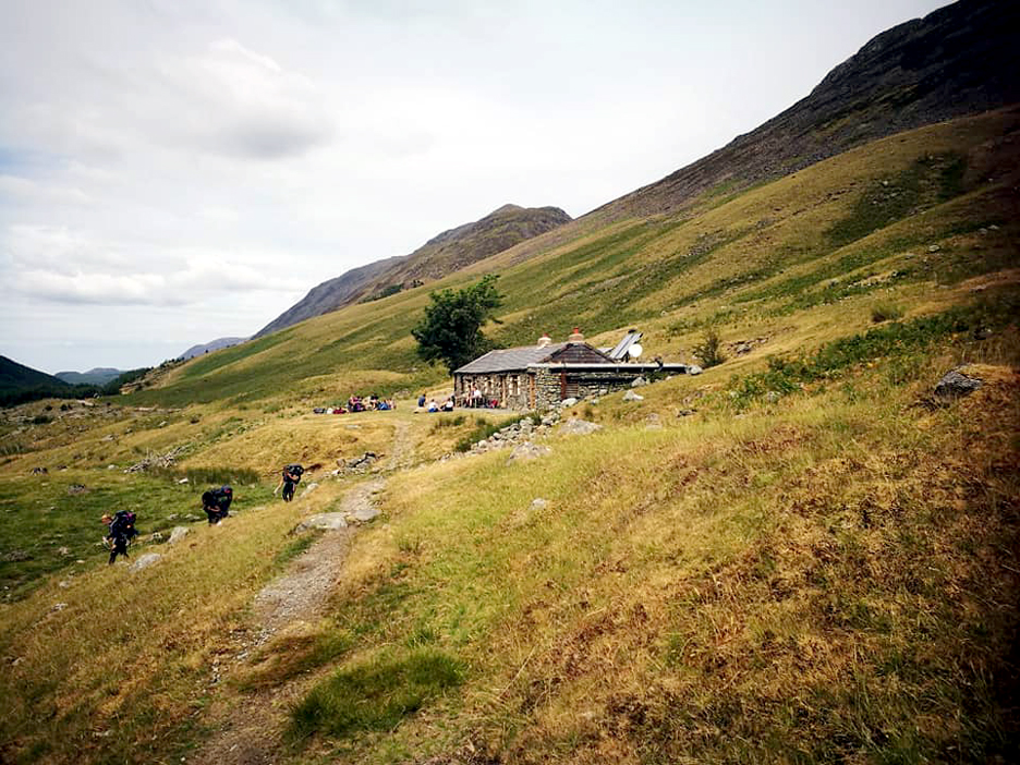
Black Sail Hostel on the day after we all dined together in Ennerdale Bridge.
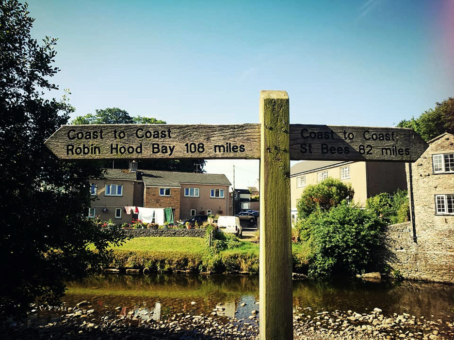
The task behind . . . the task ahead.
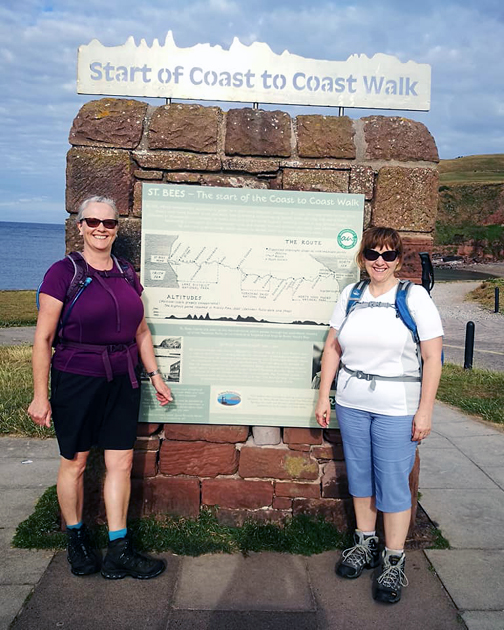
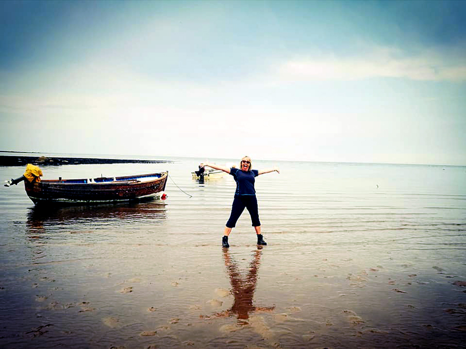
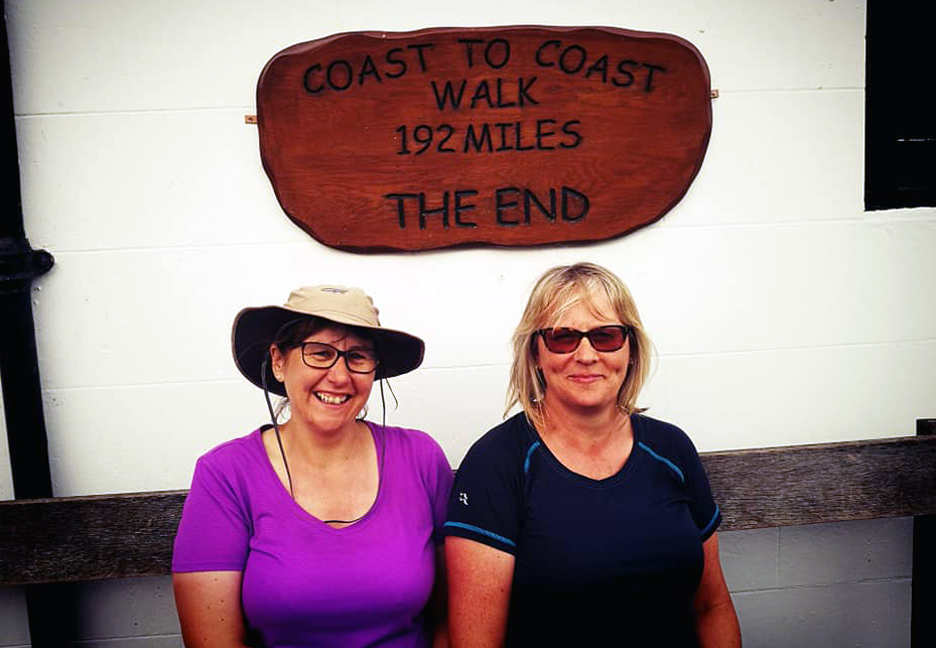
Time for well deserved celebration as Paula re-dips her boots in the briny on the east coast.
Smug . . . or what ! Well done to you both. - - - o o o - - - |
Technical note: Pictures taken with either Ann's Panasonic Lumix TZ60, or my Panasonic Lumix Gx8 Camera. Resized in Photoshop, and built up on a Dreamweaver web builder. This site best viewed with . . . the final objective in sight. Go to Top . . . © RmH . . . Email me here Previous walk - 10th July - Jack's Haystacks from Honister Jack and Catherine's only previous visit here, in wetter conditions - 8th August 2016 - Round Mellbreak with Jack & Catherine Next event - 11th July - Ann's Loweswater Ladies Summer Trip
|