![]()

Remember: Press F11 for a full
screen view of this page.
|
|
|
Remember: Press F11 for a full
screen view of this page. |
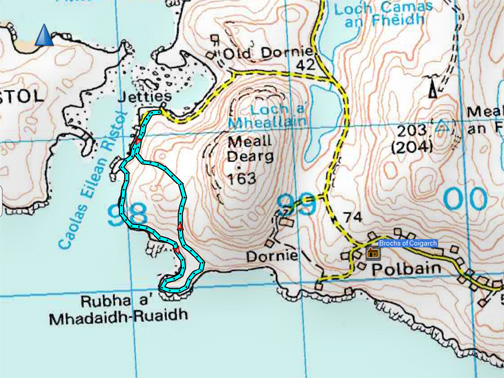
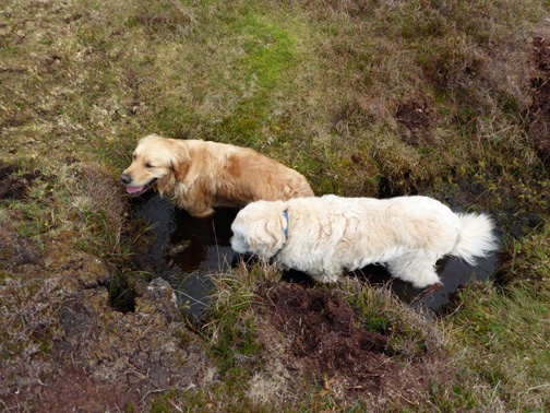
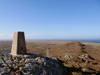
| " Scotland - 2 - Old Dornie to Fox Point " Date & start time: Saturday 13th May 2017. A leisurely 3.30 pm start. Location of Start : Old Dornie Harbour, Achiltibuie.( NB 982 112). Stayed at : The Brochs of Coigach Places visited : Dornie Harbour, Rubh a' Mhadaidh-Ruaidh (Fox Point) and back. Walk details : 2 miles, 165 feet of ascent, 1hour 45 minutes. Highest point : The shoulder below Meall Dearg, 165 ft - 50m above sea level. With : Ann and our dogs, Harry and Dylan. Weather : Rather overcast, the gloomier conditions lifting as the afternoon progressed.
|
© Crown copyright. All rights reserved. Licence number PU 100034184. |
|
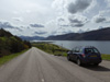
We're on holiday so there's no need to get up early and rush about. We had all morning to relax, listen to some Celtic (and other) music on the sound system and enjoy a light lunch before we head out for a walk. Having seen Fox Point from the road near our accommodation we drive the short distance to Old Dornie to walk to it from the opposite side.
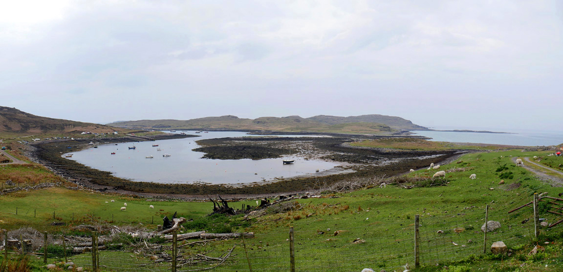
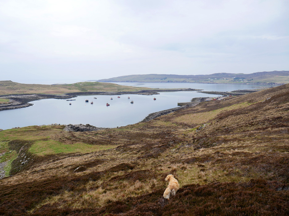
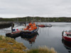
A working atmosphere pervades the quiet jetty and the inlet of Dornie Bay.
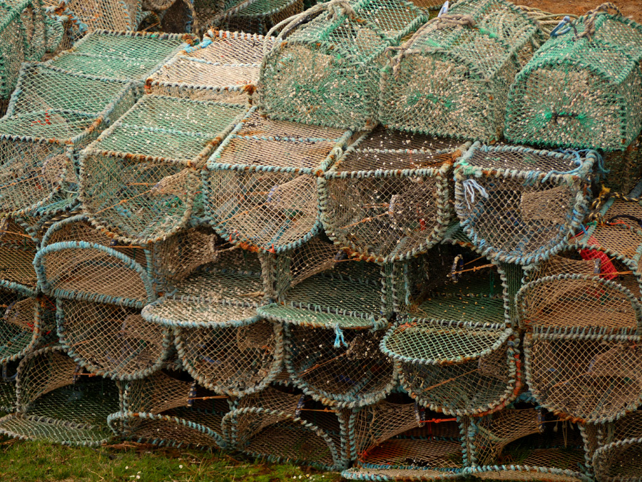
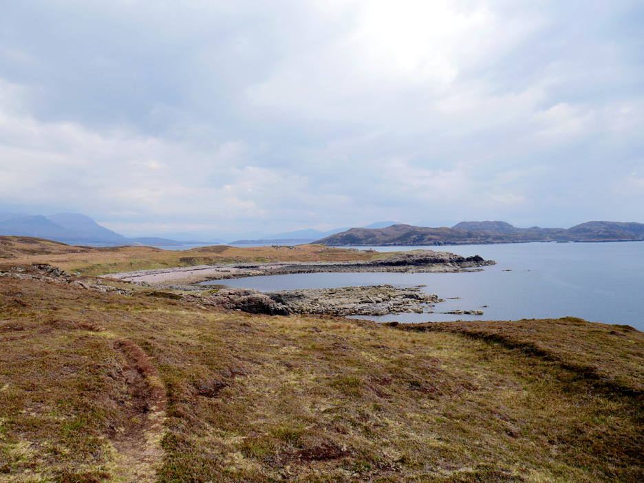
The harbour is protected by Isle Ristol and connected to the open sea by a deep water channel off to the left. However 'the island' is joined to the mainland for a few hours each day but you'll have to be a quick walker if you want to visit the whole of it in the time available. There has been some effort in recent years to improve the two simple jetty/slipways and the various services needed by local fishermen and there's quite a lot of safe moorings available for leisure craft as well.
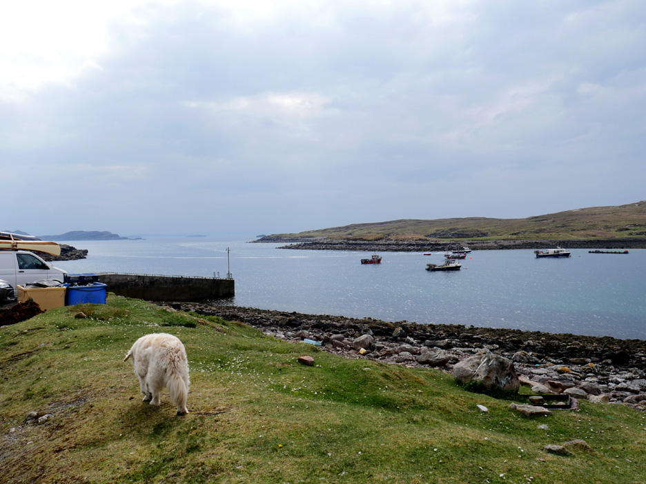
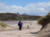
The second slipway and the start of our walk . . . plenty of parking on the roadside.
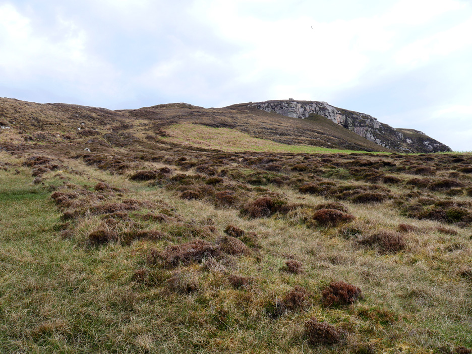
The little guide book (leaflet) in the cottage remarks on these undulations in the ground beyond the harbour. They are old "lazy beds" . . . the evidence of cultivation in the days of the Highland Clearances.
" In these places, the method used is normally to lift up sods of peat and apply desalinated seaweed fertiliser to improve the ground. Potatoes were often grown in this way until the potato blight 'Phytophthora Infestans' caused a potato famine in the Highlands and Islands. Lazy beds were used across much of Ireland and Scotland until the 19th century." Partial quote from Wikipedia (they explain it slightly better than I can).
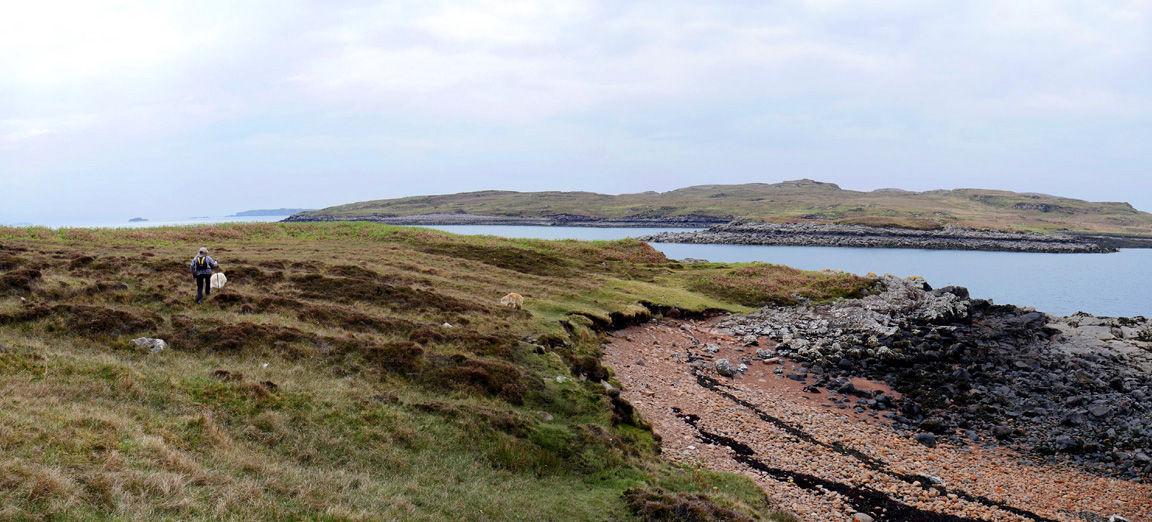
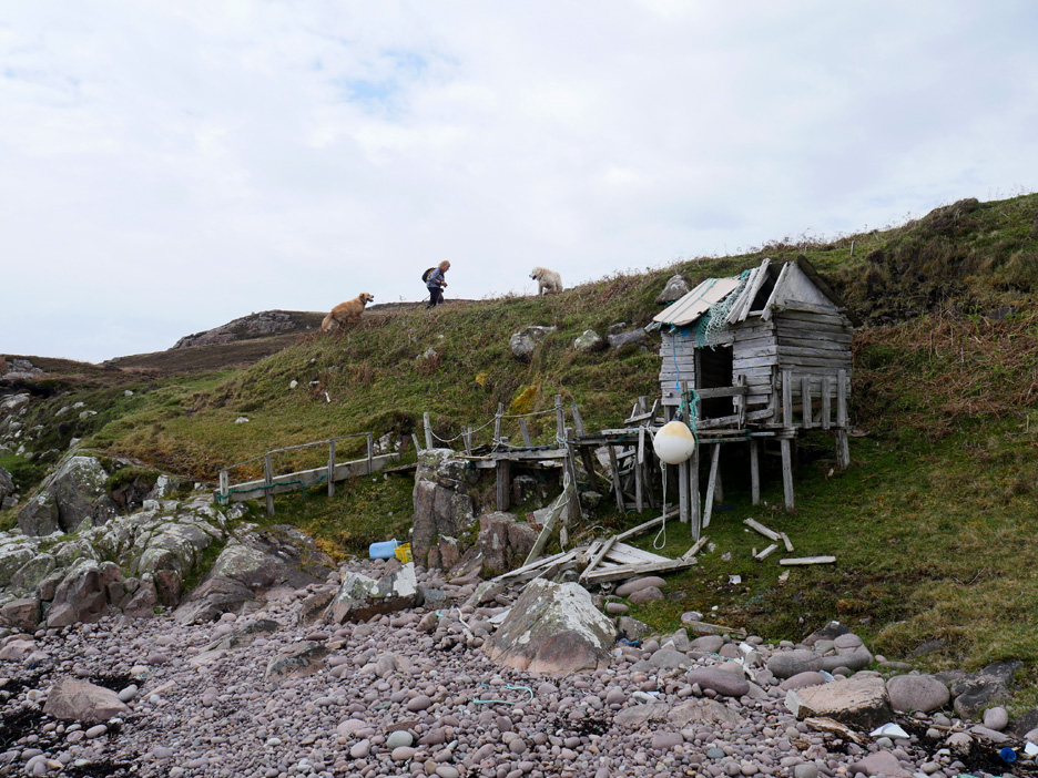
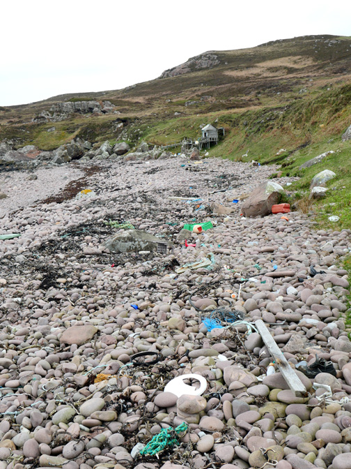
Over the brow and we see Fox Point ahead. There's a wide sweep of a bay before it and an old ruin on the end to add to the experience. We said 'hello' as we passed one of the only two groups of people that we saw on the whole walk.
Someone's pride and joy.
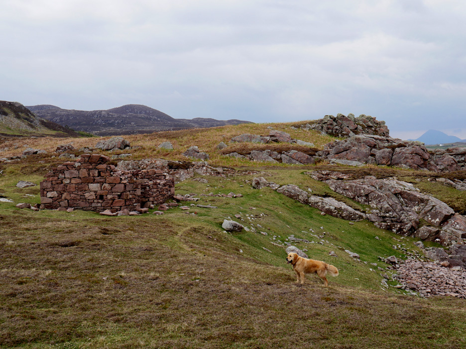
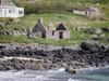
Out on the headland we found the old croft house . . . constructed out of local stone, but in a very poor state.
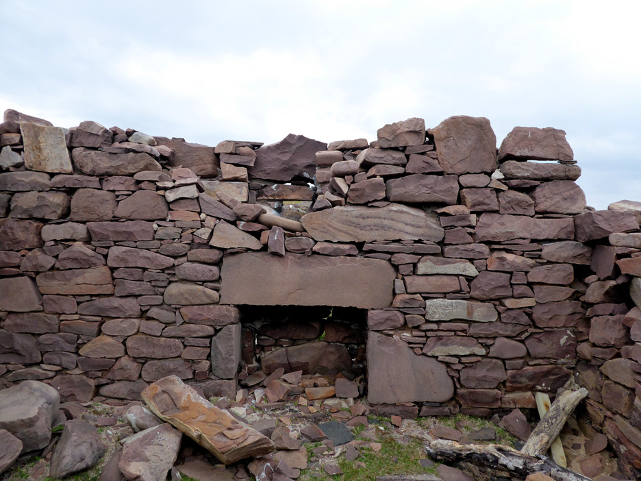
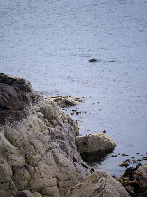
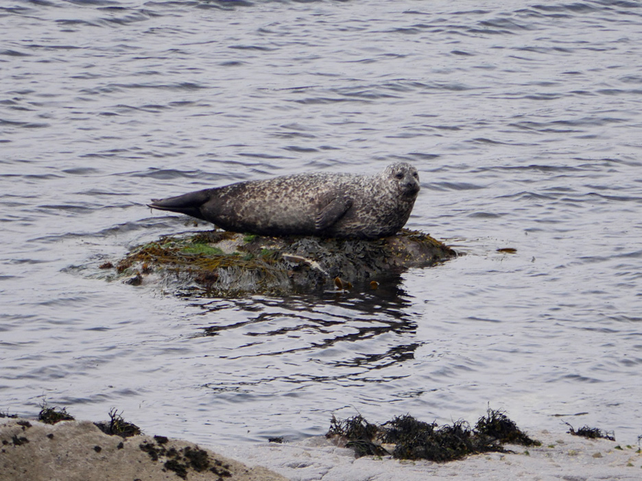
The old fireplace taken from within the ruin. - - - o o o - - - Out on the headland we walked around and spent time just watching the wildlife.
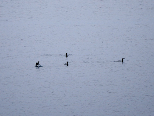
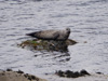
These were Atlantic Grey Seals which are reasonably common in these waters . . . but it is still nice to see them all the same.
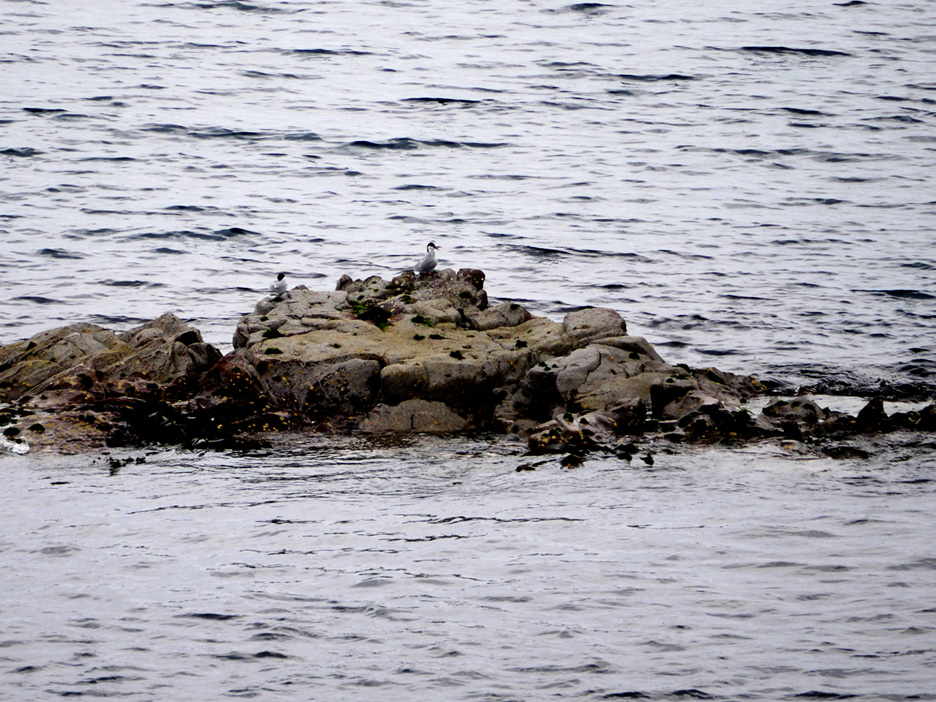
What look like Arctic Terns out on the outer rocks.
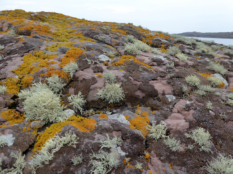
The red sandstone and the clean air leads to a colourful display of lichen on the headland.
Back over the high ground now . . . to make the walk more circular in nature and to see more of the lazy bed area. It is certainly a very good example of the old style of subsistence farming that the crofters were forced to use in order to survive. The tide is rising now and the island is cut off once more.
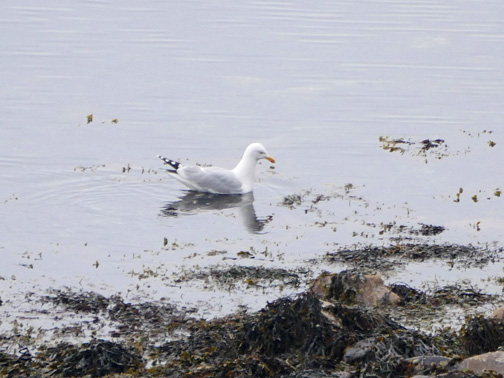
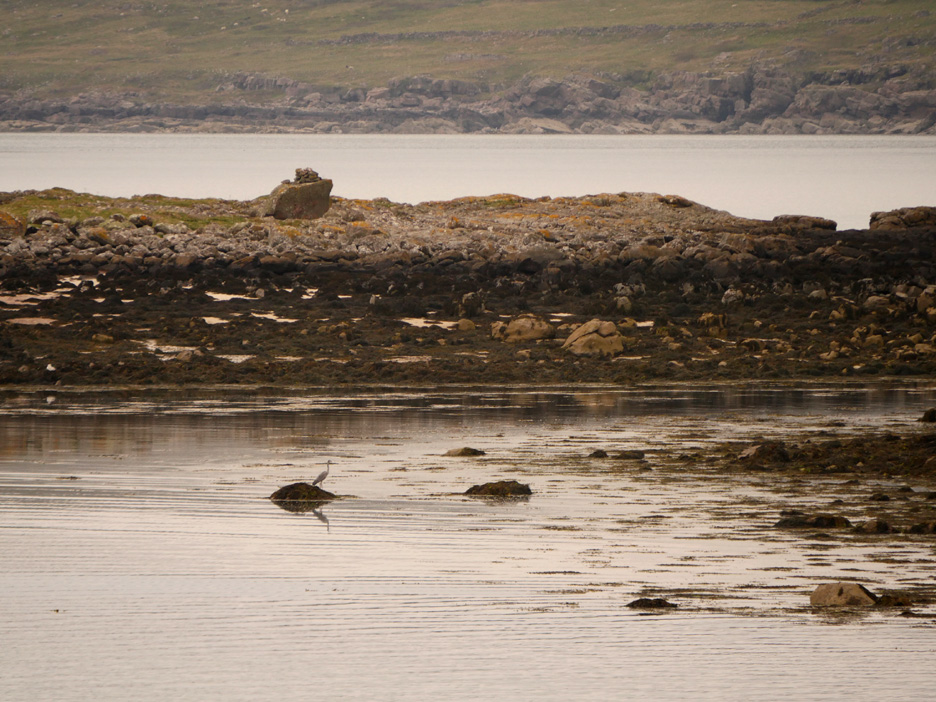
With the rising tide comes a replenishment of fish and other sea food . . . at least that's what the Grey Heron is hoping.
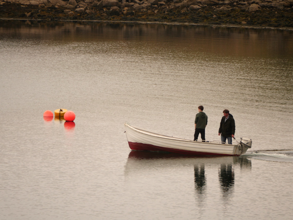
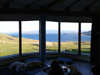
These guys are motoring out to their larger boat in the harbour . . . they will be hoping for a more commercial catch. - - - o o o - - - As the afternoon light slowly fades we return to the Broch and spend the evening in front of the picture windows.
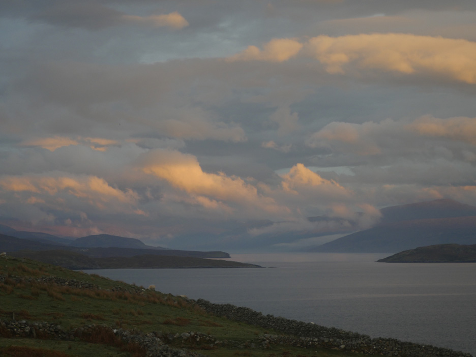
Evening cloud at the head of Loch Broom.
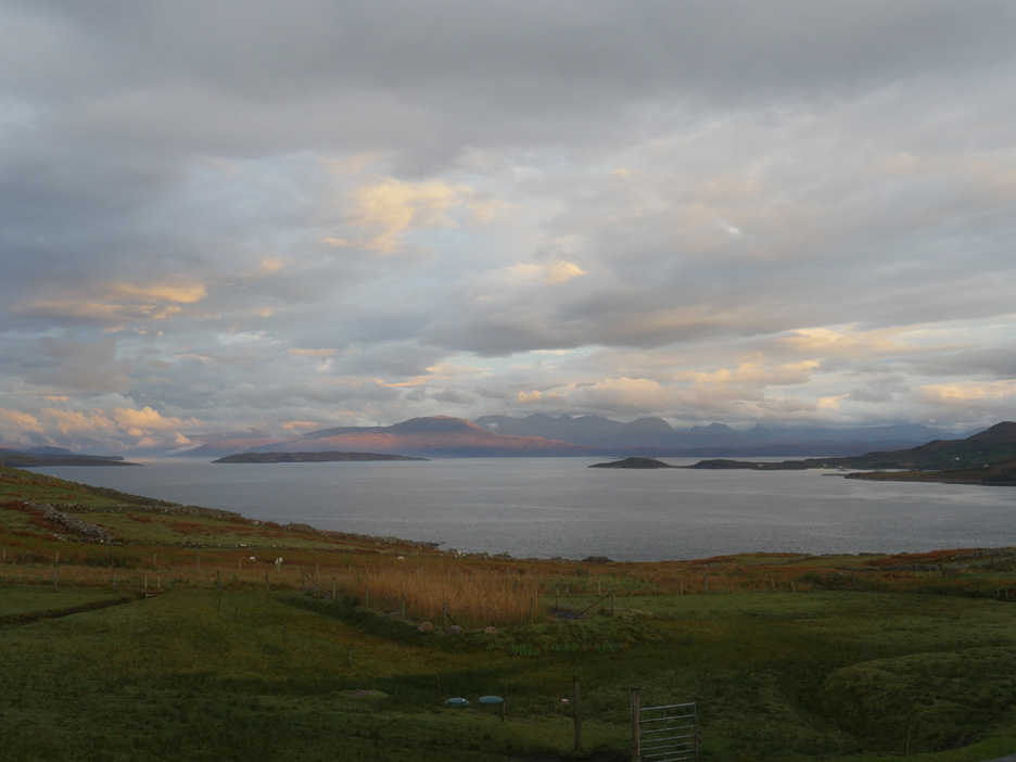
Late sunlight spreads across Beinn Gobhlach and the Little Loch Broom peninsular. A lovely view . . . well if you have a big panoramic window . . . you might as well flaunt it. Time for supper ! - - - o o o - - - |
Technical note: Pictures taken with either Ann's Panasonic Lumix Tz60 Compact, or my Panasonic Gx8 Compact System Camera. Resized in Photoshop, and built up on a Dreamweaver web builder. This site best viewed with . . . a local walks leaflet for the use of visitors. Go to Top . . . © RmH . . . Email me here
Previous walk - Scotland - 1 - Meikleour and the drive up A previous time in the area - 8th to 18th May 2015 - Durness and Northern Scotland Next walk - 14th May 2017 - Scotland 3 - Achnahaird and Polbain
|