![]()

Remember: Press F11 for a full
screen view of this page.
|
|
|
Remember: Press F11 for a full
screen view of this page. |
|
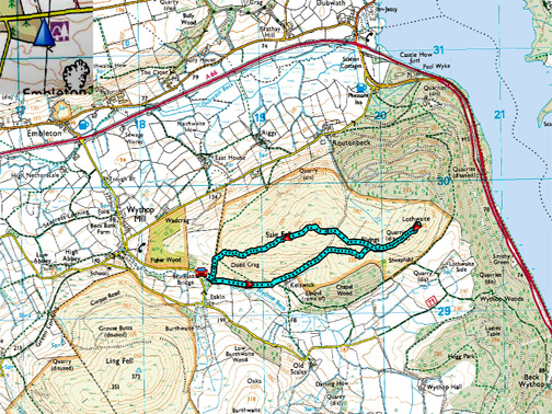
" Sale Fell via Kelsick Farm " Date & start time: Monday 27th March 2017, 3pm start. Location of Start : Roadside above Brumston Bridge, Wythop, Cumbria, Uk ( NY 185 293 ) Places visited : Kelsick Farm, The Rivings, Lowthwaite and back over Sale Fell summit. Walk details : 2.6 miles, 1000 ft of ascent, 1 hour 40 mins. Highest point : Sale Fell, 1,177ft - 359m. Walked with : Ann and our dogs, Harry and Dylan. Weather : Sunshine and blue skies, a gentle breeze. |
© Crown copyright. All rights reserved. Licence number PU 100034184. |
|
Sunny weather has been temporarily on hold these last few days but last Monday afternoon, before it turned stormy later on Tuesday, we set out to climb Sale Fell. We chose the more indirect ascent, aiming first for Kelsick Farm and then on to Lothwaite Fell. - - - o o o - - -
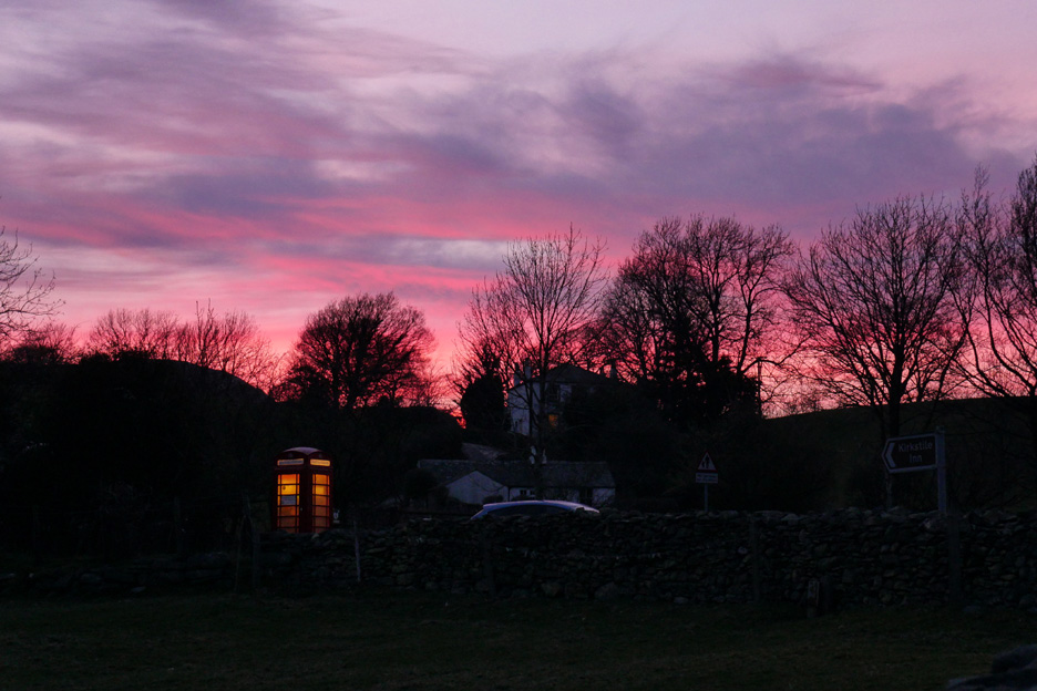
" Red Sky at Night " . . . Sunday evening in Loweswater. I don't know how the local shepherds felt about it, but next day it was certainly a great day to be outside and for us it meant we had the opportunity to get out and enjoy another afternoon walk. - - - o o o - - -
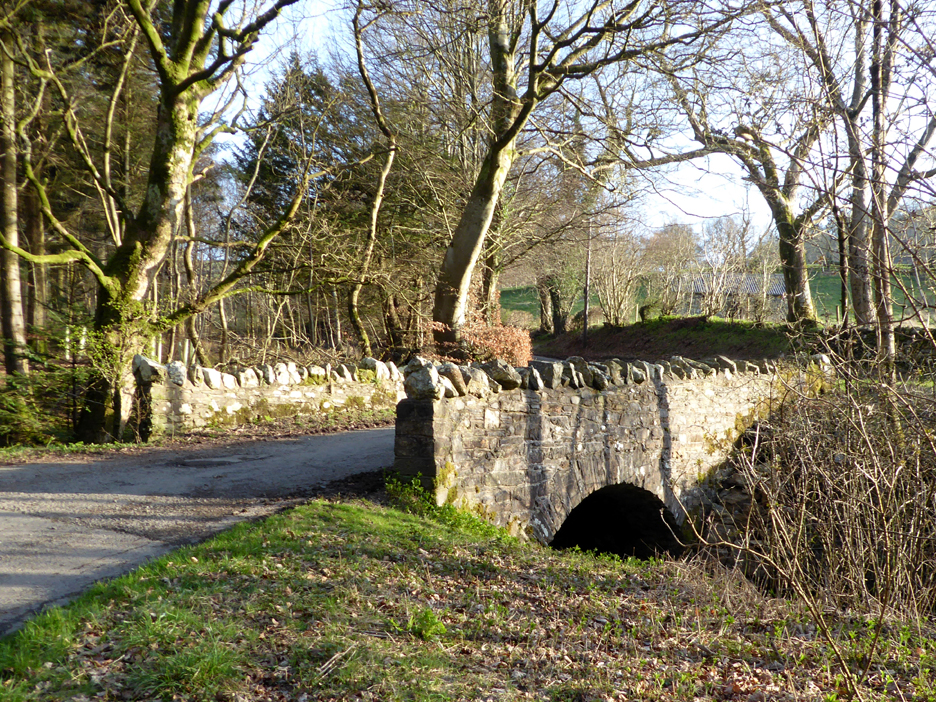
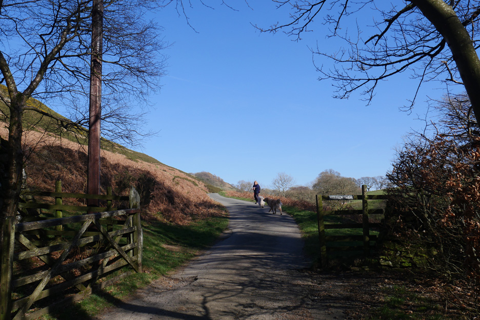
Brumston Bridge which heads up to Ling Fell . . . but we'll park just a little further up the road to the left.
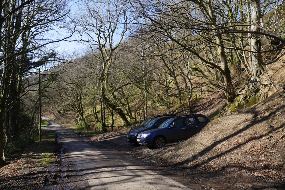
Room for half a dozen cars on a busy day.
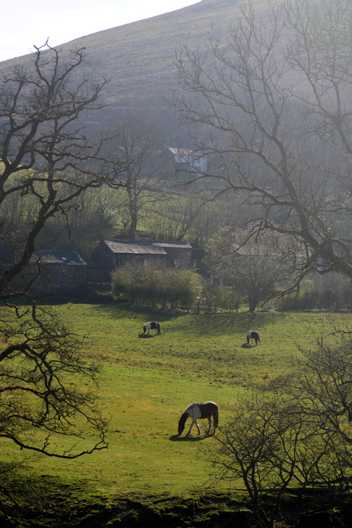
The road continues on to Kelsick Farm through the farm gate. The map shows it as Kelswick Farm but the name plate spells it as Kelsick Farm. I think they are trying to take the name back to the Cumbrian dialect.
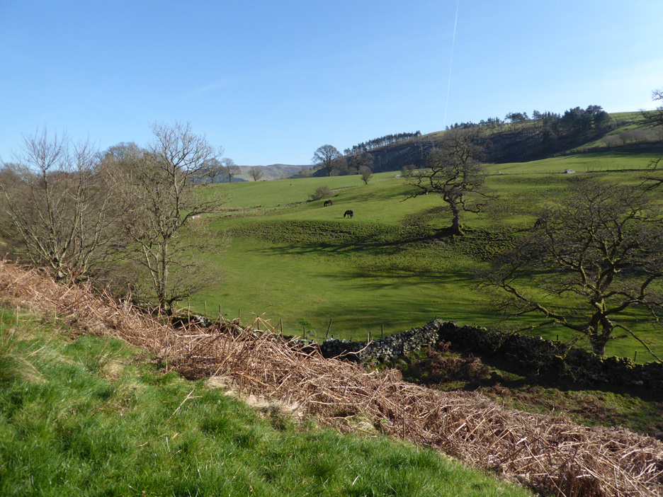
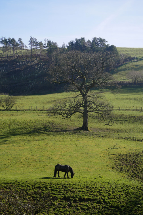
On the opposite side of the valley are the fields of Eskin Farm.
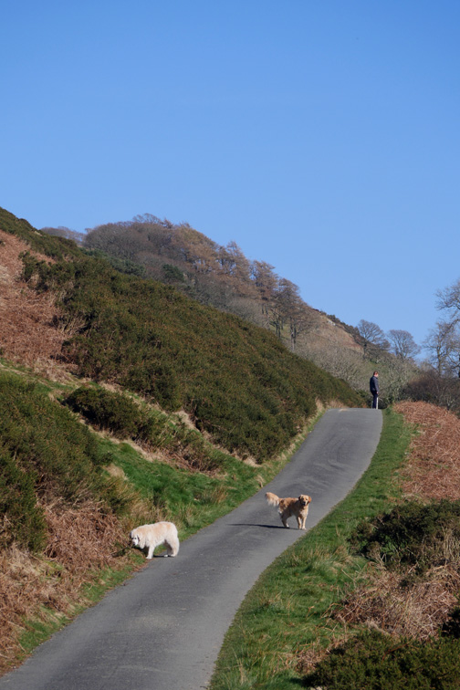
From here we take the unmade track up towards the open fell.
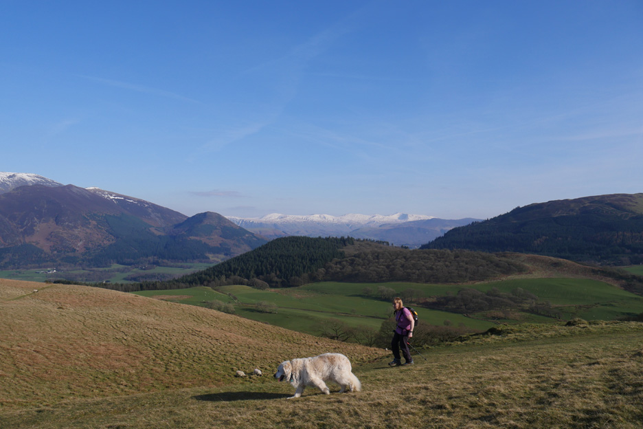
Looking back at the farm and the distant Ling Fell.
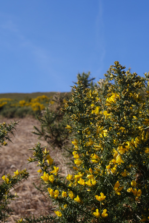
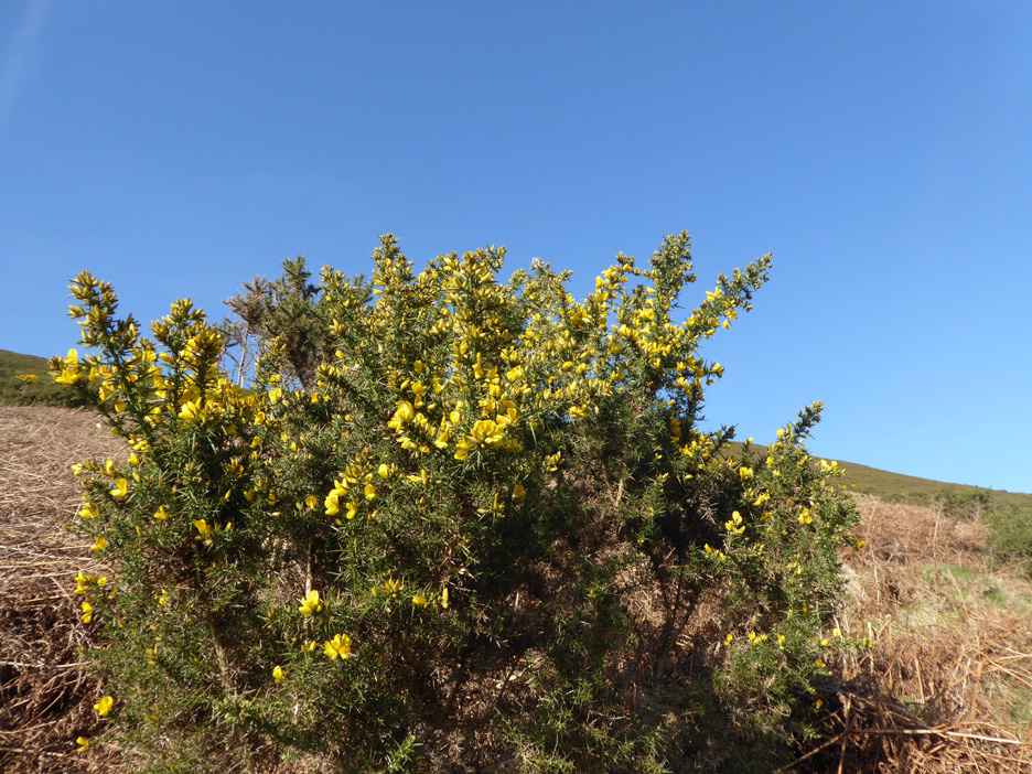
More gorse as we walk steadily up the track. Just before the high point of the track we cross through a small gate and head for Lothwaite Fell.
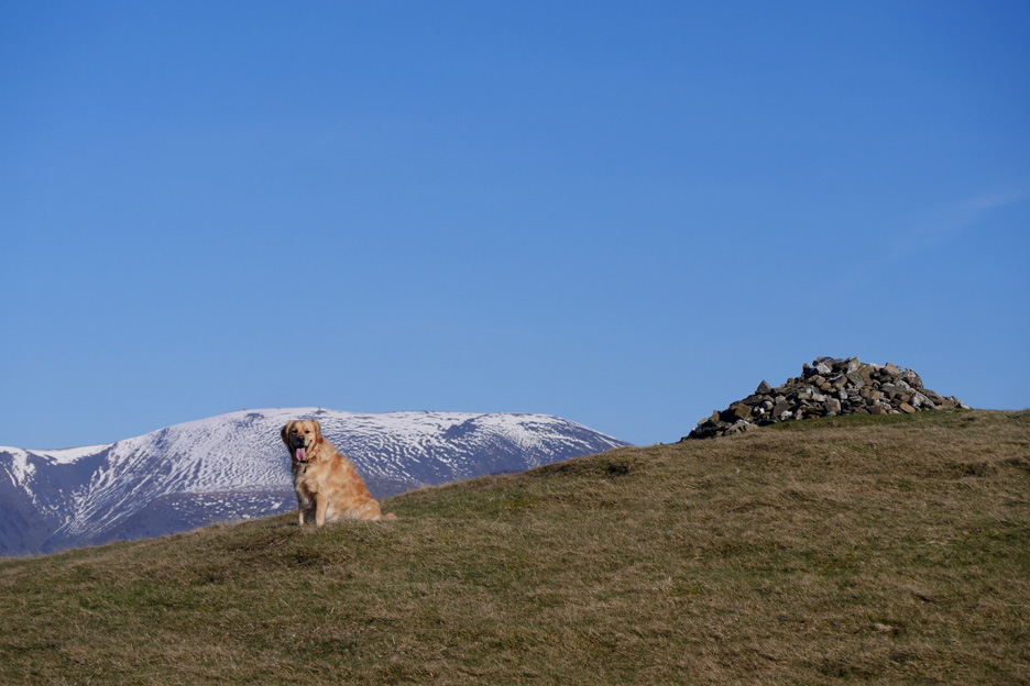
The first high point has a fine cairn . . . and with it the first view of Skiddaw.
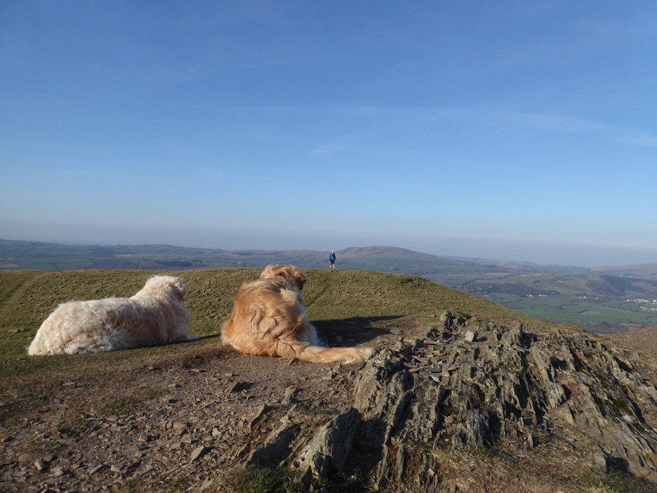
Dylan is joined by the rest of us.
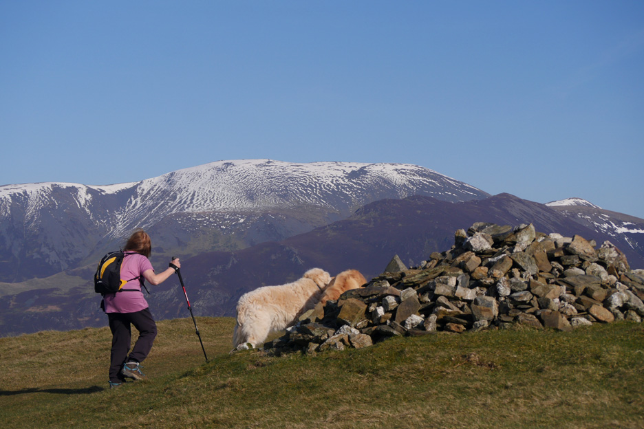
From the top of this ridge there's a fine view across to Skiddaw and the distant snow covered Helvellyn range.
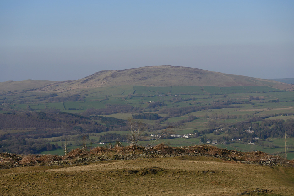
The fell that climbs out of the picture to the right is Lord's Seat . . . and the wooded hill in the centre is Ladies Table.
From the top . . . both of your photographers ( him and her) capture another photo for the web site.
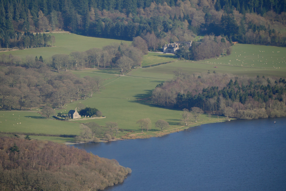
Through the big lens . . . St Bega's Church and Mirehouse
Scarness Bay and the chalet park on the side of Bassenthwaite Lake. Behind are the Back o'Skiddaw fells . . . Longlands, The Cockups, Meal Fell and Sca Fell.
To the left, the northernmost Wainwright fell of Binsey across the cleared summit of Routenbeck Woods.
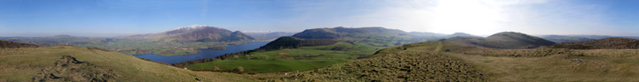
In fact I've done you all the honour of a complete look-around. Click here or on the photo above for a Loweswatercam 360 degree annotated panorama.
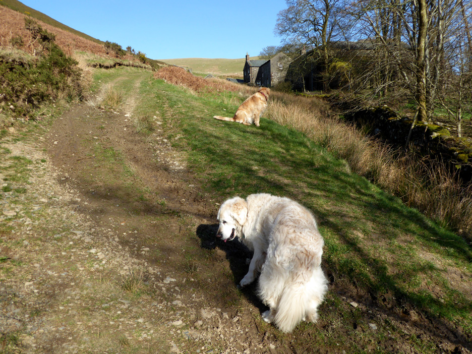
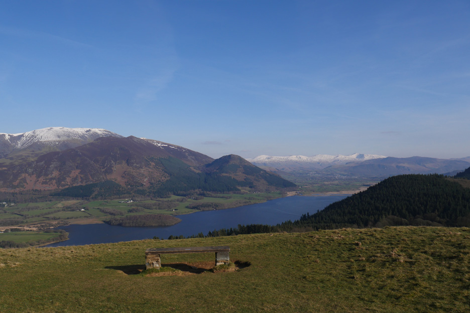
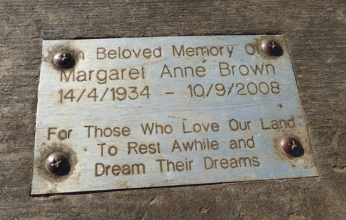
Heading back . . . we 'rest a while' at the seat . . . or at least Harry and I do !
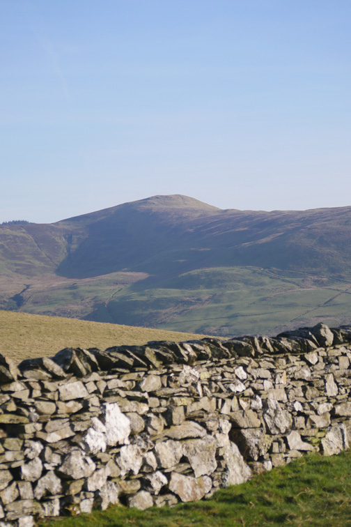
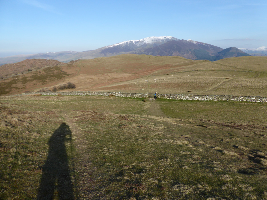
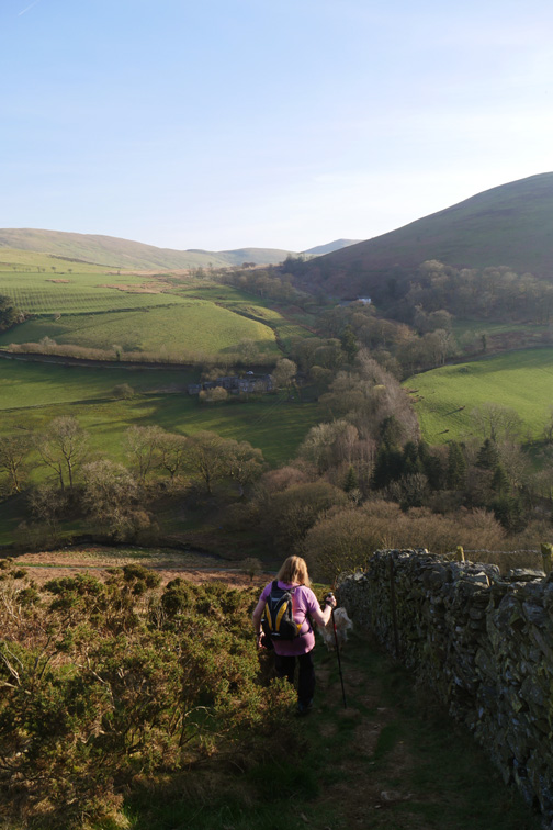
Across the ridged slopes of the Rivings to the wall opposite.
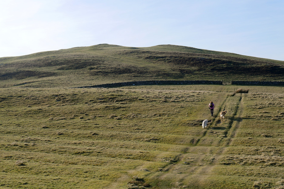
Ann's long shadow falls along the path as she waits for me to leave the gate.
I took a slightly angled route to the top in order to look down from the side summit.
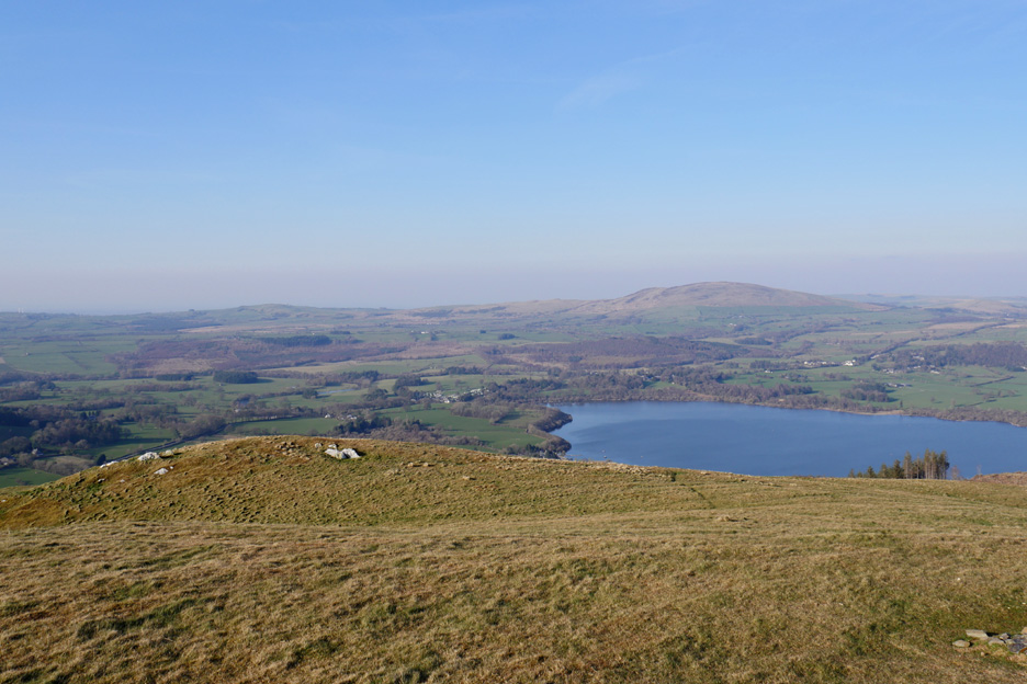
Far below was the northern end of the lake, the houses around Dubwath and Binsey in the distance.
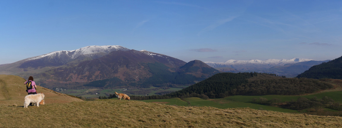
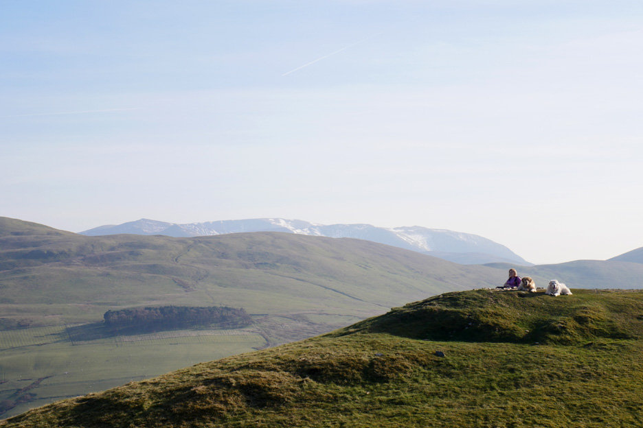
To the south . . . Ann and the dogs. Behind them was the green slopes of Broom Fell, with the hazy slopes of Hopegill Head and the Whiteside Ridge further on.
Heading down the western side of the fell.
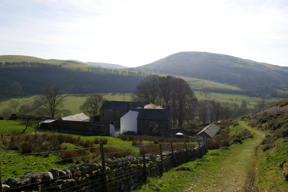
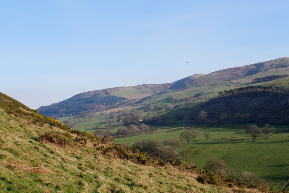
Looking across to Old Scales Farm and a small military aircraft flying past the side of Lord's Seat.
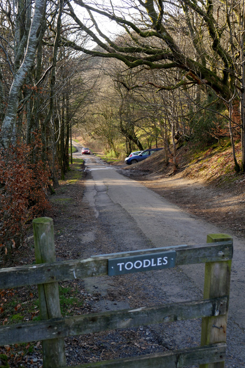
That was the walk . . . hope you enjoyed it . . . "Toodle-oo" . . . or perhaps we should become colloquial and say "Toodles". - - - o o o - - - |
Technical note: Pictures taken with either Ann's Panasonic Lumix TZ60, or my Panasonic Lumix Gx8 Camera. Resized in Photoshop, and built up on a Dreamweaver web builder. This site best viewed with . . .the sound of the lark high in the spring sky. Go to Top . . . © RmH . . . Email me here Previous walk - 25th March 2017 - Stickle Pike and Great Stickle A previous time up here - 23rd Nov 2007 Sale Fell and a Jennings Brewery Visit Next walk - 4th April 2017 - Hopegill's Dodd with Jo, Ian and Mike
|