![]()

Remember: Press F11 for a full
screen view of this page.
|
|
|
Remember: Press F11 for a full
screen view of this page. |
|
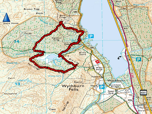
" The Five Faces of Harrop Tarn " Date & start time: Wednesday 1st March 2017, 1.40 pm. Location of Start : The Dob Gill car park, Thirlmere, Cumbria, Uk ( NY 316 140 ) Places visited : Dob Gill waterfall, Harrop Tarn and then around the back of the lake. Walk details : 3 miles, 800 feet of ascent, 3 hours. Highest point : A visit to a new tarn, in a new area for us. Walked with : Trevor and Gill, Ann and the dogs, Finlay, Harry and Dylan. Weather : Overcast, occasional sun but with a couple of heavy rain showers. |
© Crown copyright. All rights reserved. Licence number PU 100034184. |
|
We knew about Harrop Tarn many years ago but had heard that the forestry damage and subsequent clearance of trees had spoilt what was a delightful upland lake. However Trevor and Gill suggested that it was a good opportunity for us to walk somewhere new, and as they had been there before they would also love to see how it had changed over the years. This was a very interesting walk . . . which for us had been a long time in coming.
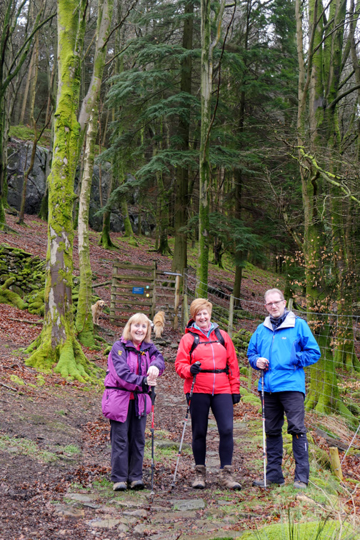
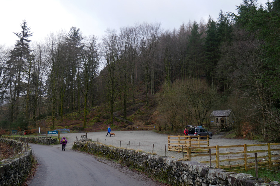
We started the walk at the Dob Gill car park which is on the back road at the southern end of Thirlmere.
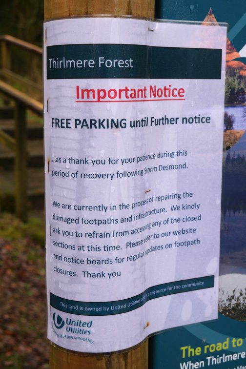
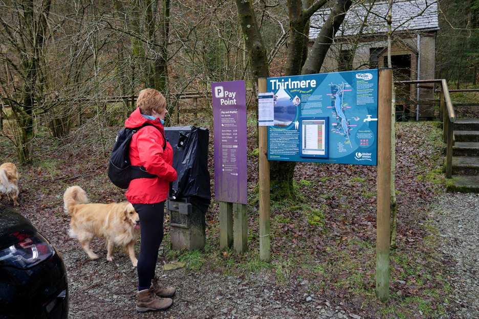
The information board shows all the local attractions. A bonus today is that they are not charging for car parking (e.g. £6.50 all day) due to path closures. An "alternative truth" could be that it might be too expensive to enforce the charge in the winter months . . . still, can't complain !
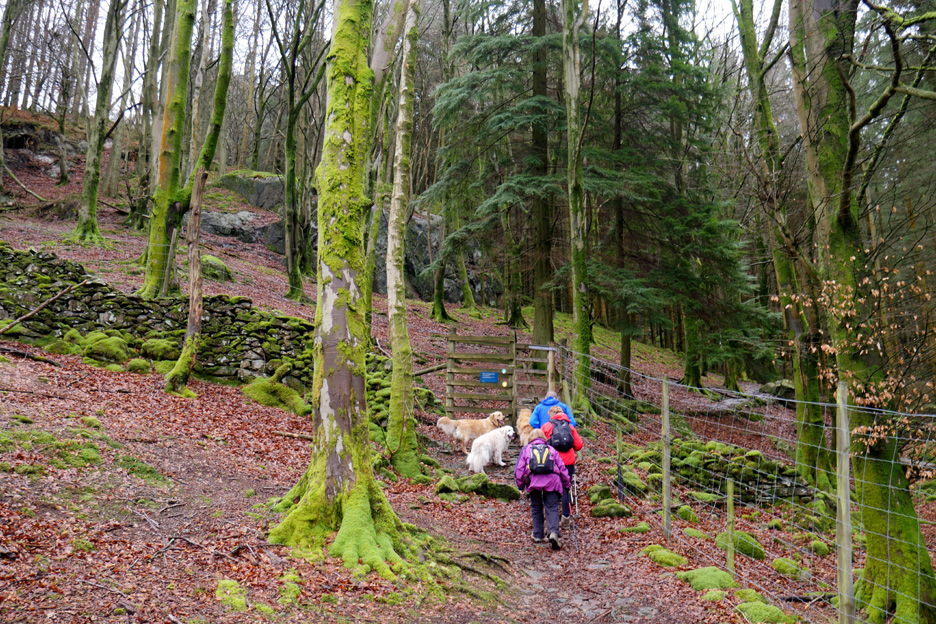
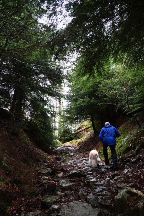
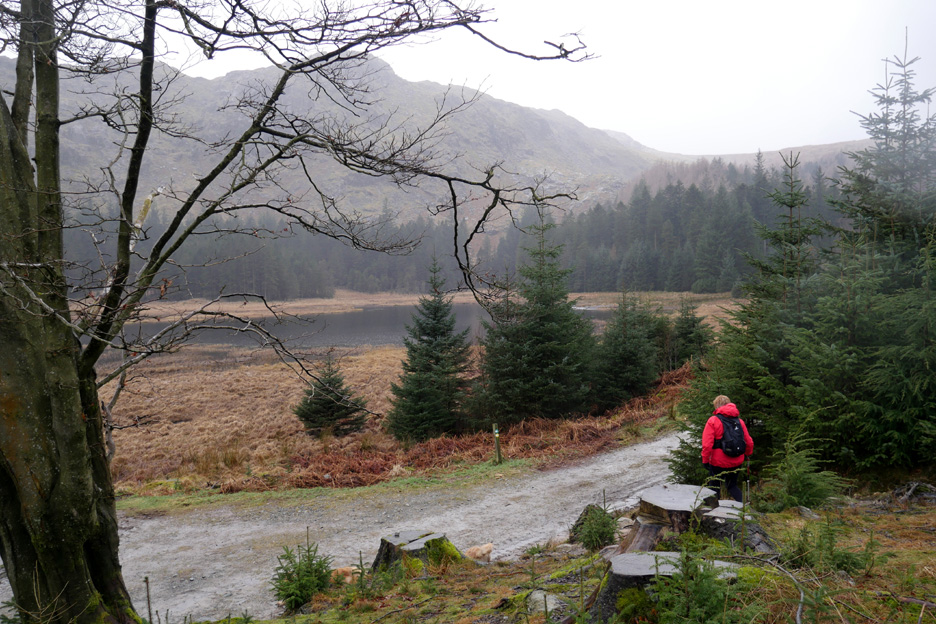
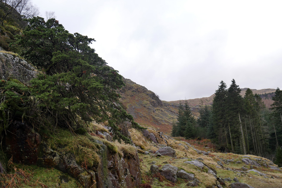
We set off into the woodland area where the pitched path zig-zags up the steep slope.
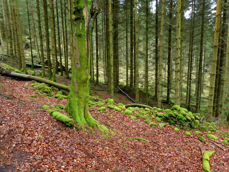
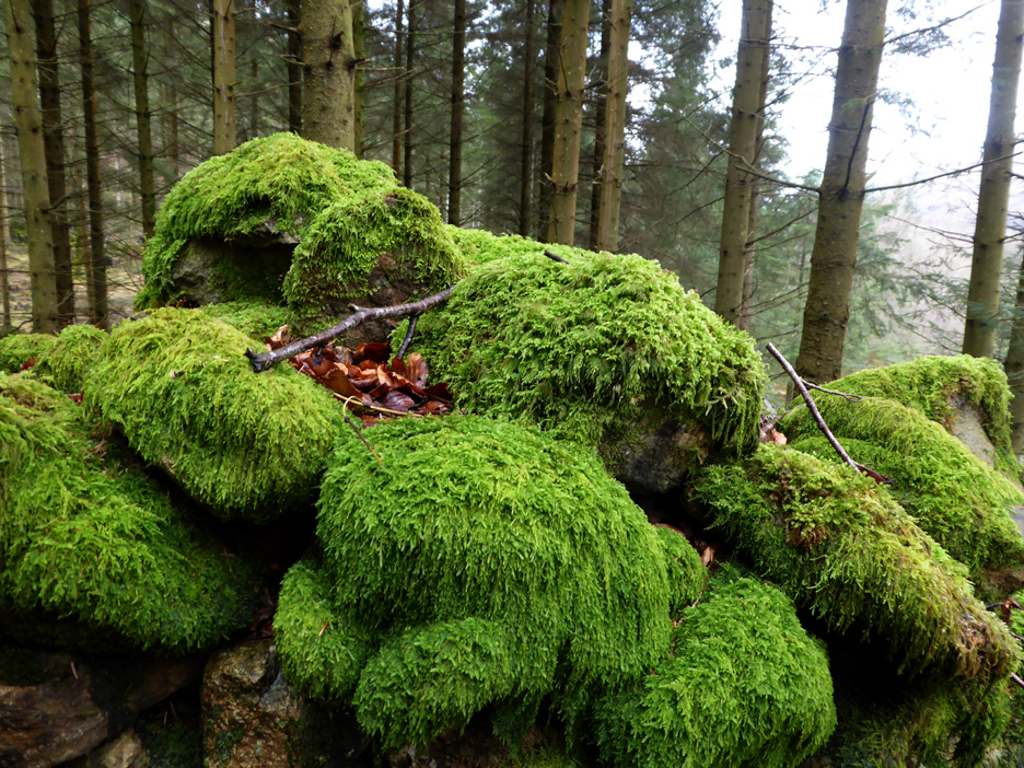
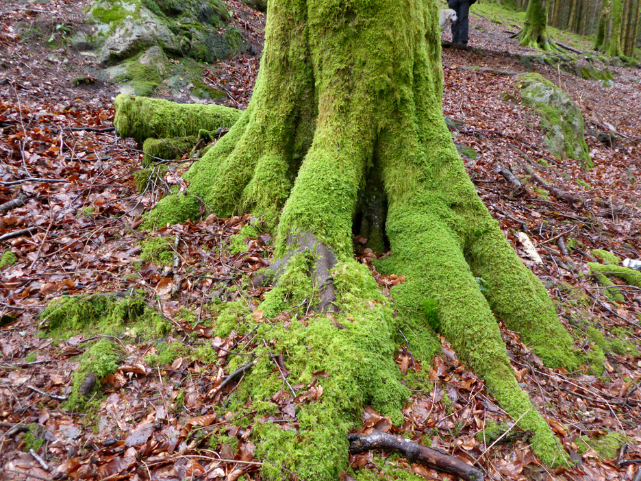
The first feature of the walk was the lush green of the moss that covers the rocks, stones and trees.
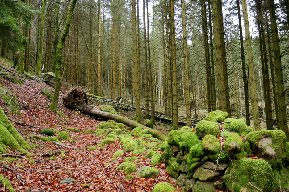
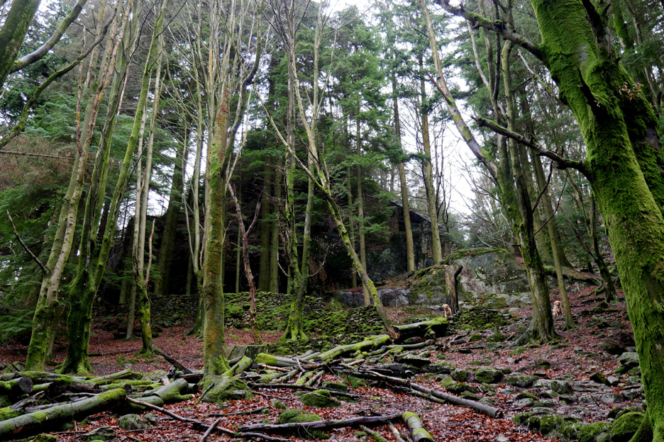
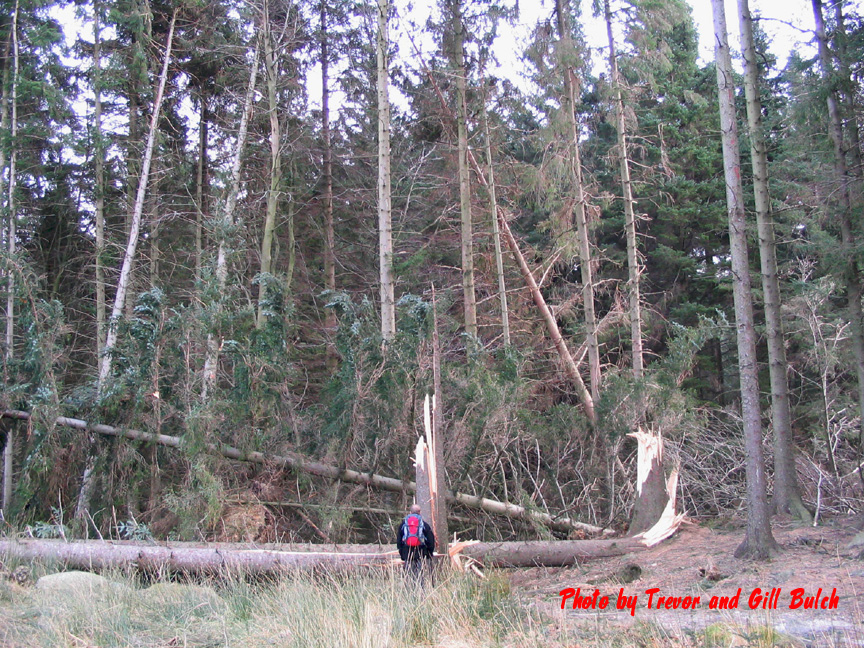
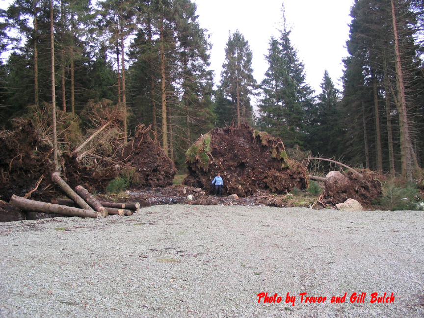
The second surprise was the significant number of fallen trees through the woodland, mostly a throw back to the hurricane winds of the storm of 2005.
The moss covering the stones dates back a lot further than that though.
Many of the older native trees were similarly adorned.
What looked at first viewing as the gable end of a large house turned out to be a dramatic cliff hidden in the trees. We had passed a similar large rock, known as the Binka Stone, in a field overlooking the road that we used to get to the car park.
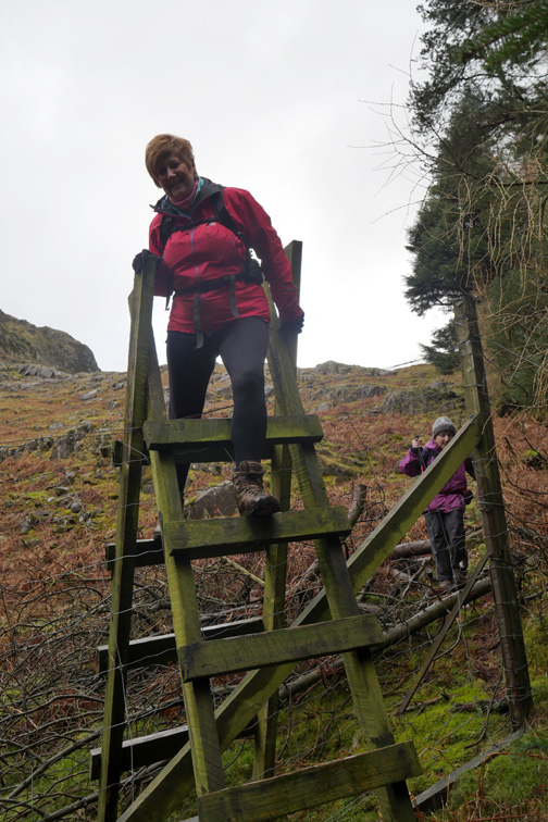
The route up was complicated by a generous covering of decaying leaves, making it partially hidden and potentially slippery.
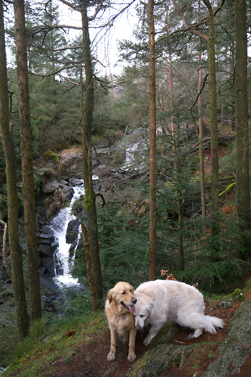
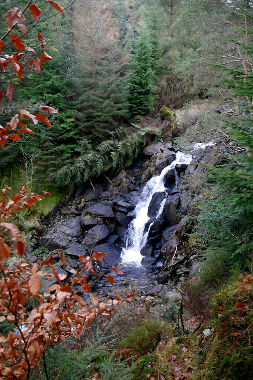
Above the falls the path levels out . . . but our emergence from the trees coincided with the arrival of a heavy shower of rain.
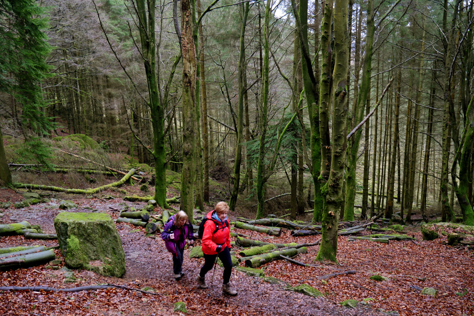
After the slippery track up, the sudden appearance of a forest track was a bit unexpected, but then this is a commercially forested area so perhaps I shouldn't have been quite so surprised.
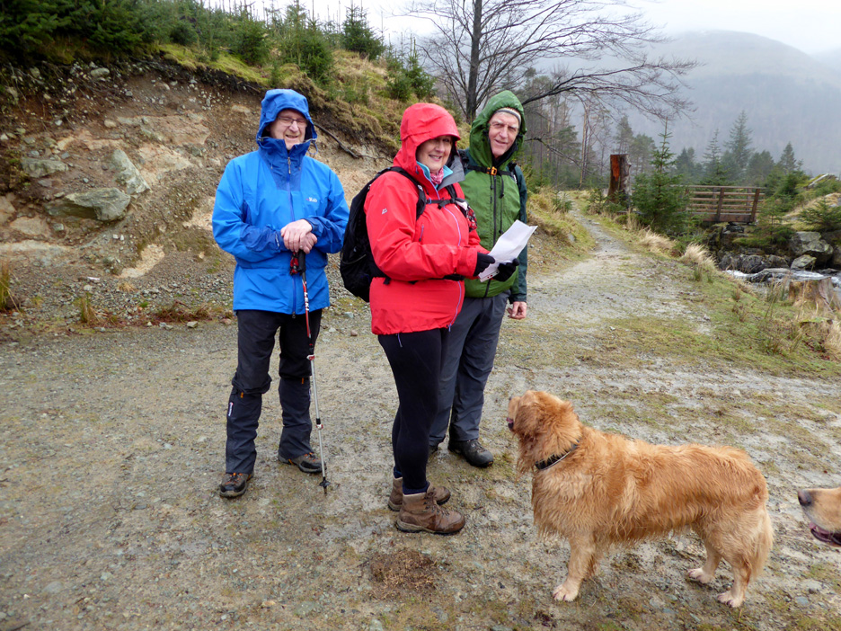
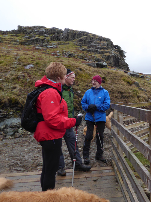
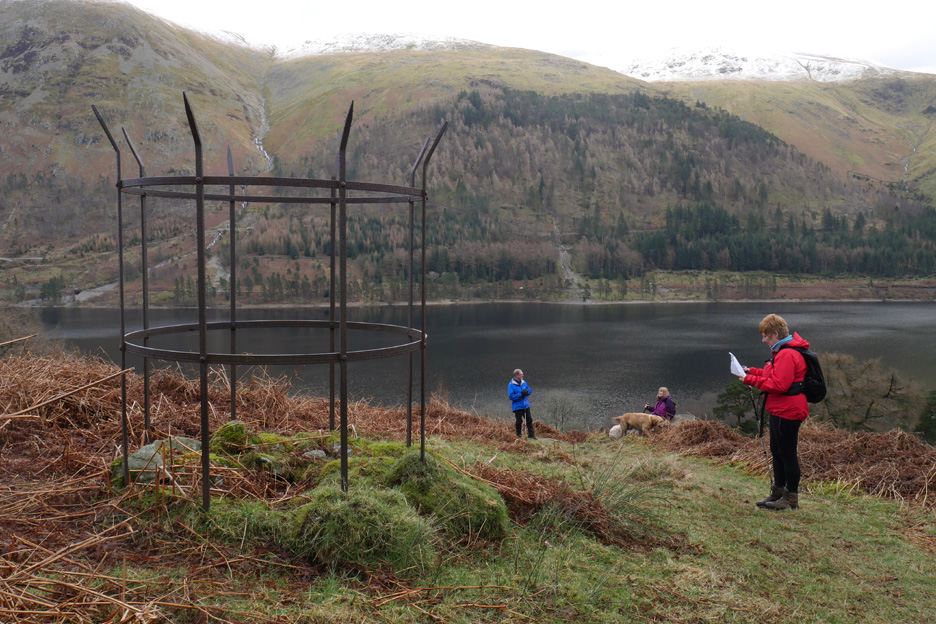
A pause for a photo by Ann . . . as we discuss where to go next, Gill map in hand.
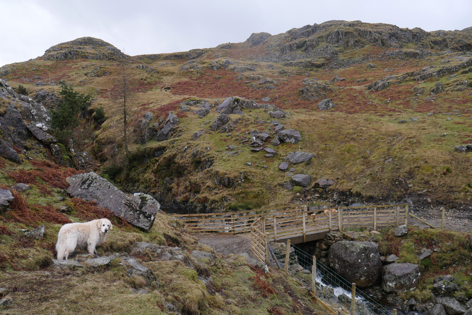
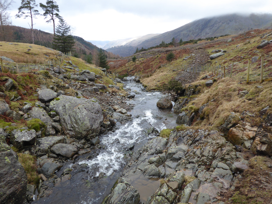
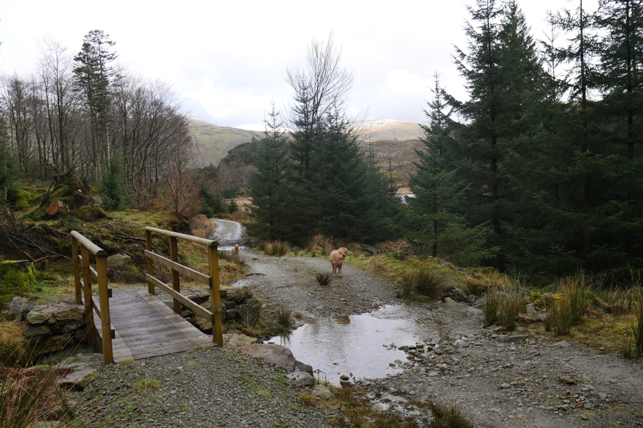
A footbridge offered a dry route across Dob Gill the shallows to the right of the picture being a vehicular ford for the forestry vehicles when required.
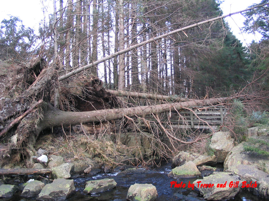
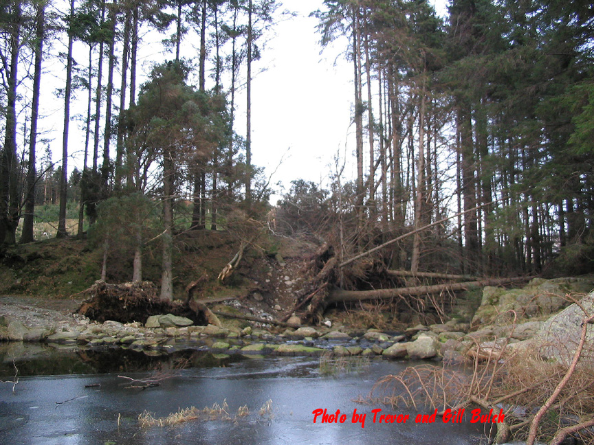
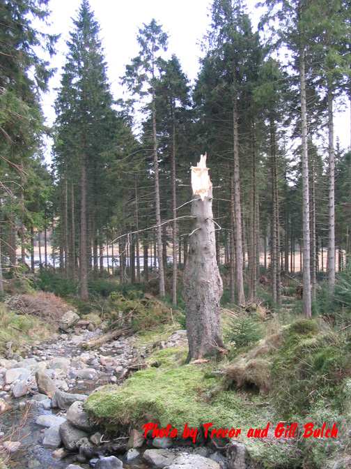
" Round the lake " it is then as we set off across the bridge. - - - o o o - - - The last time Trevor and Gill were up here was soon after the big gales that demolished so many trees. They have let me use a few of their photos here from their collection.
Access to the bridge was rather disrupted at that time.
The water level was lower and it looks like a layer of ice on it too. - - - o o o - - -
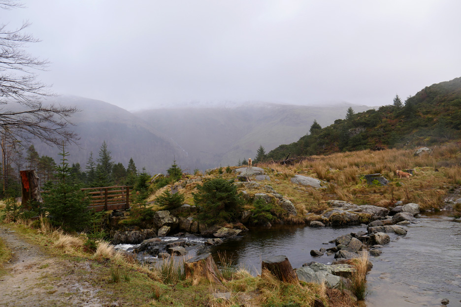
We follow the forest rack for a short distance till we reach a gate on the left. ( It is in the right of this picture as we've already passed through it and are on our way up the fellside )
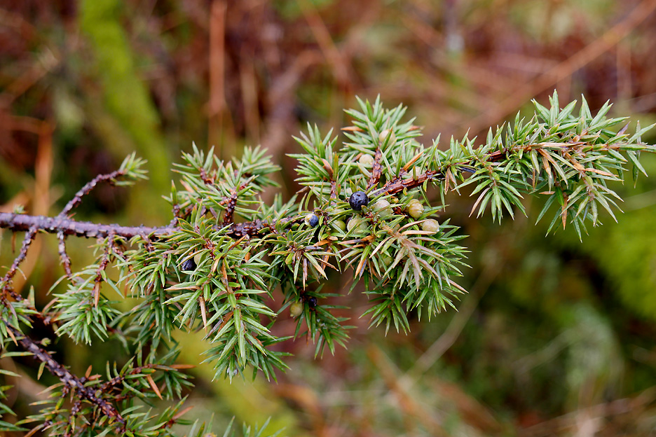
We passed a number of juniper trees that were growing alongside the path.
The juniper berries are an important flavour ingredient for classic gin.
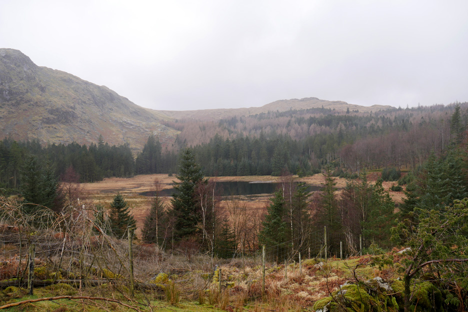
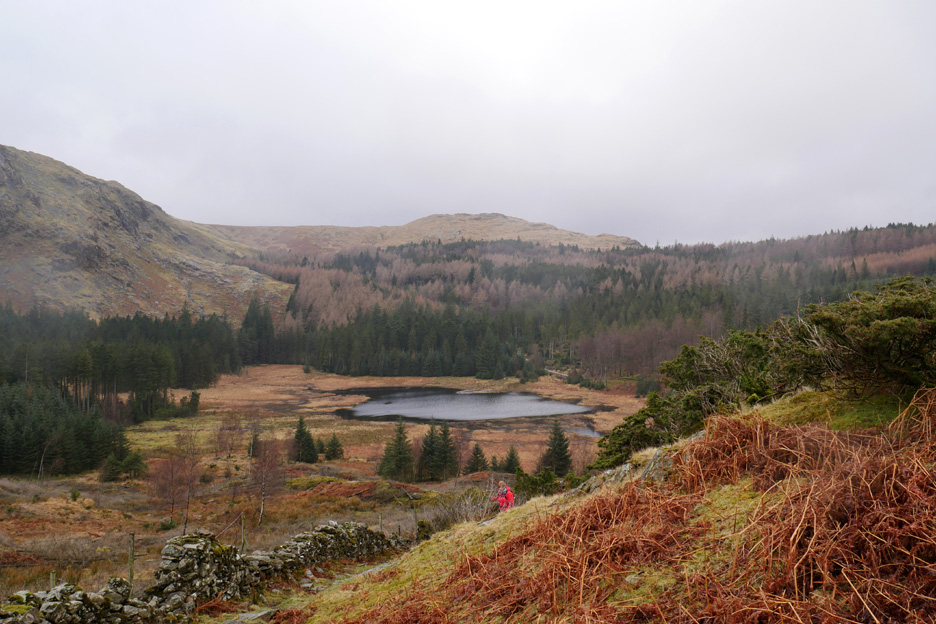
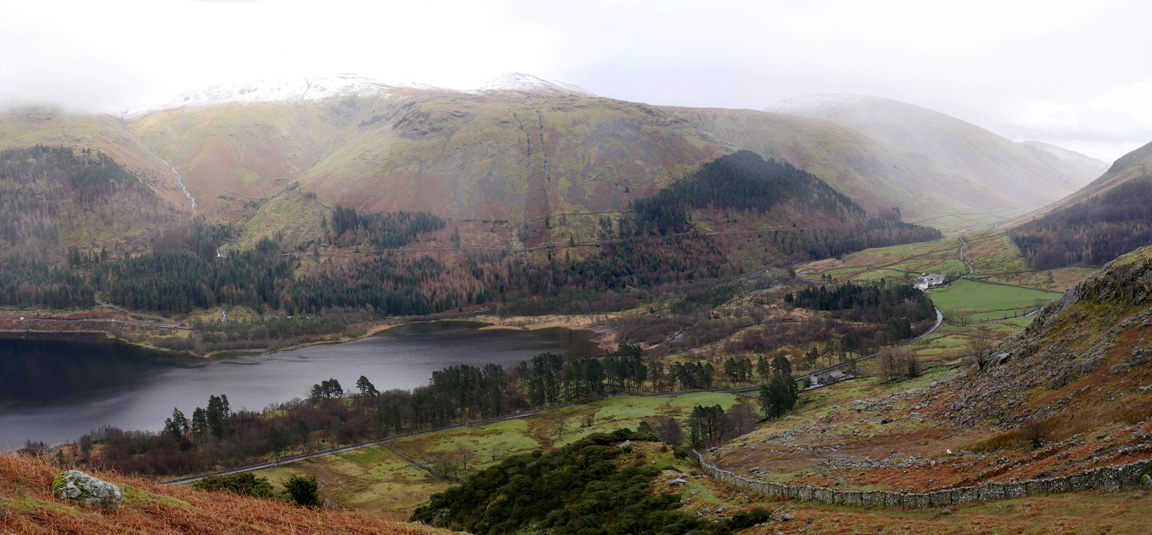
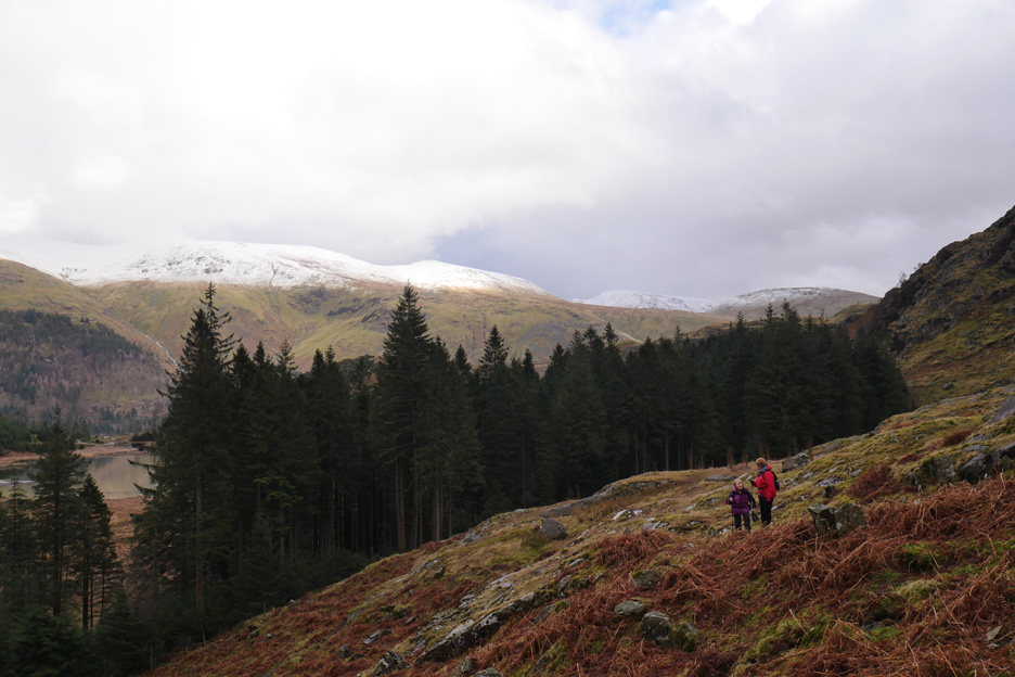
We followed the wall along the side of Birk Crag and soon had a clear view of Harrop Tarn once again.
I climbed to the summit of the grassy knoll and as I did the view of the tarn became more open.
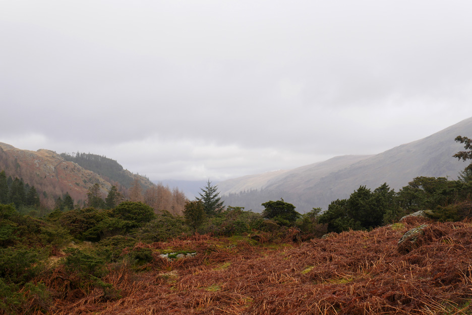
When I stopped and looked around I noticed a lot more juniper trees than were apparent at first. As the rain cleared away north it revealed the trees on White Crags and then the view north up the Thirlmere Valley.
The rain had cleared away and from the summit of Birk Crag I got a view south to Dunmail Rise. There's a layer of snow high on the Helvellyn Range . . . but another rain shower is working its way up the valley towards us.
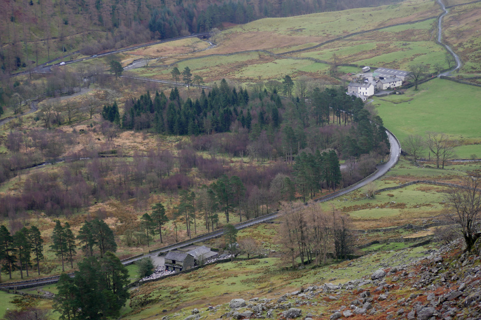
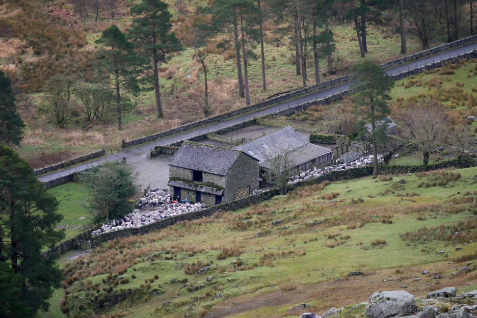
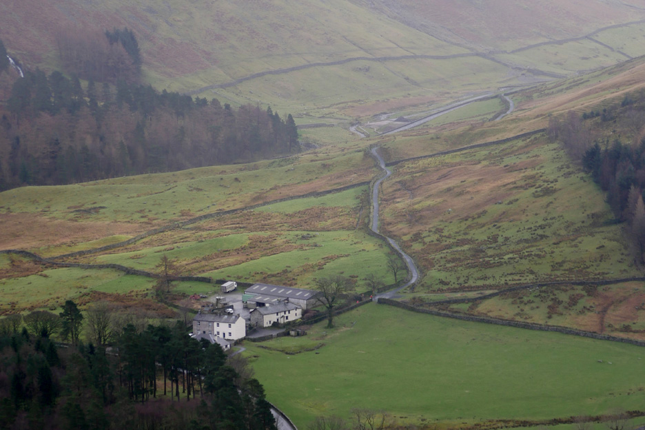
The white car at the top of the picture is on the A591, the road below is the minor road around the back of Thirlmere Lake. Below is the farmstead of Stenkin, with the larger Steel End Farm further along the road.
They've gathered the sheep into Stenkin yard . . . they'll be lambing soon no doubt.
Behind the farm what looks like the new cycle way leading towards Dunmail Rise.
The Beacon on the Wythburn Fells, a large cairn and viewpoint part way up the ridge. Suddenly the wall and the grass sparkles due to a sudden burst of sunlight.
Departing rain ahead and sunshine behind you usually means a rainbow . . . and today was no exception. The coloured arc falls on Wythburn Church after cascading across Whelpside Gill.
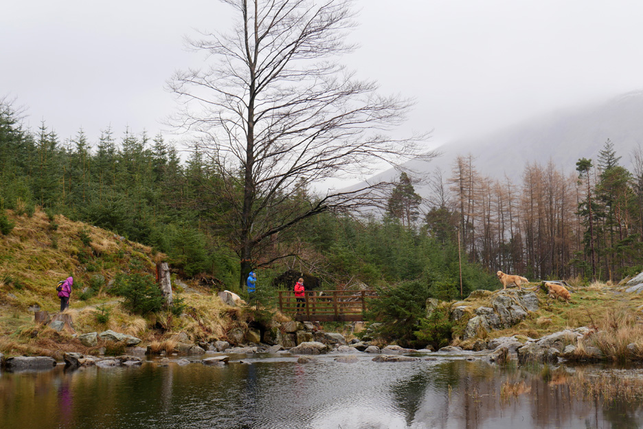
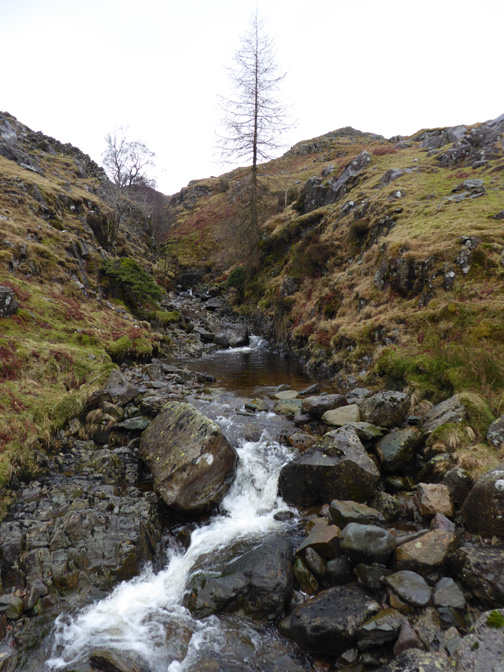
The path round the lake crosses Ullscarf Gill on a brand new bridge.
The extension of the forest track used to ford the stream but is now fenced off. The new bridge appears not to be accessible to tractor or even quad bike . . . it's a big bridge for sheep and people only.
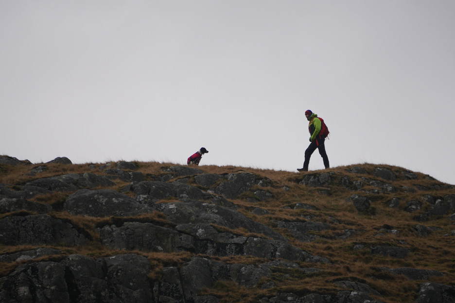
On the skyline . . . the only one other person and his dog that we saw all afternoon.
I waited a short while, hoping he would stop and look out from some rocky outcrop with the snow as a winter background Sadly he stayed low . . . so this was him disappearing out of view.
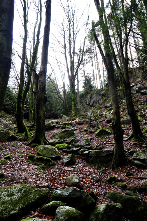
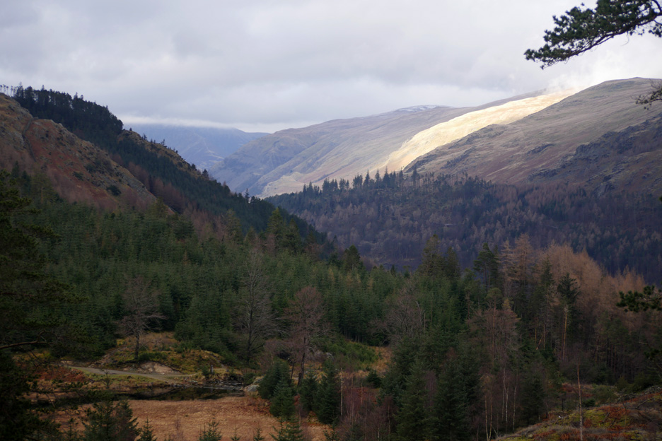
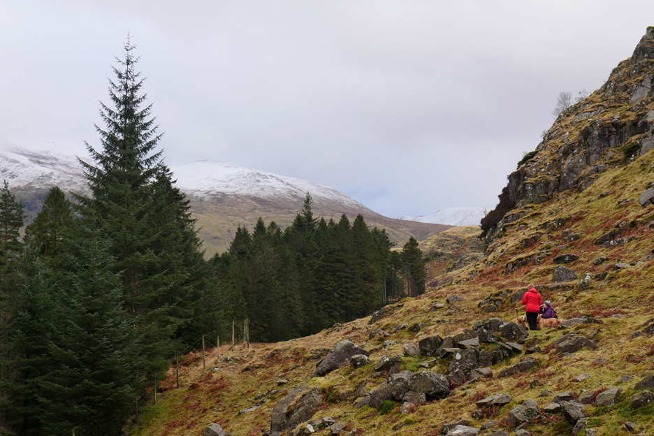
The weather has cleared and a bright patch of sunlight shines down on the slopes of Watson Dodd.
Time to head off round the back of the amphitheatre that holds the tarn.
More juniper bushes adorn the fells behind the trees . . . but the ground was very damp in places.
Ann and Gill making their way around the lower sections of Tarn Crags.
A brief pause as we investigate what routes were available to us.
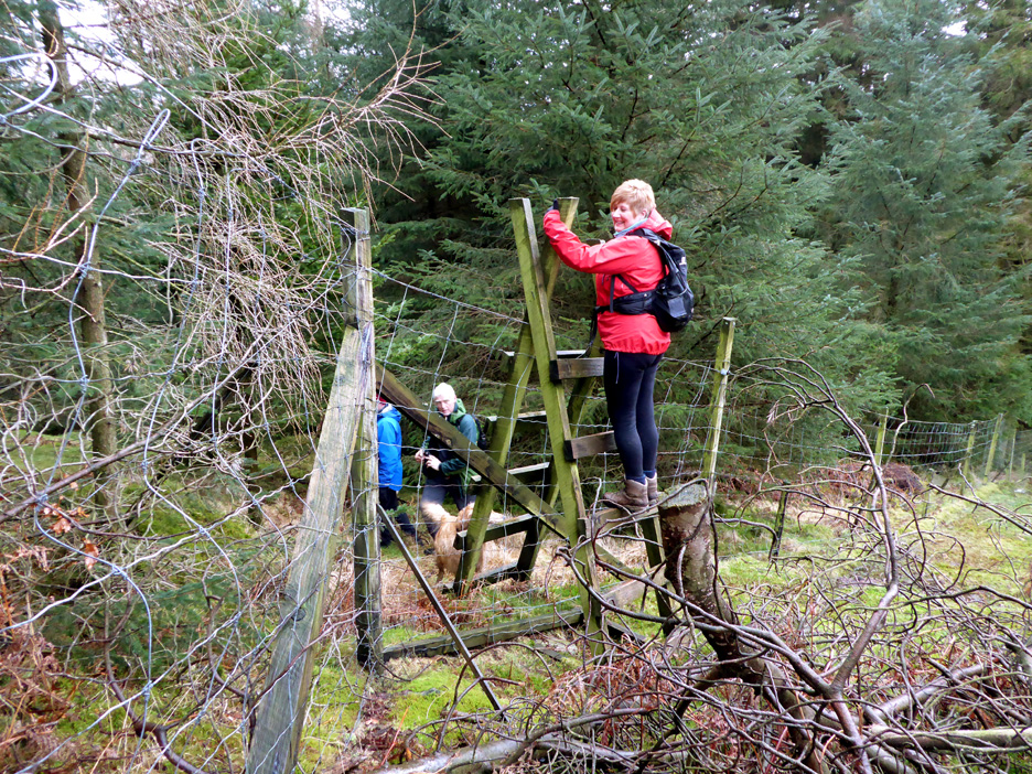
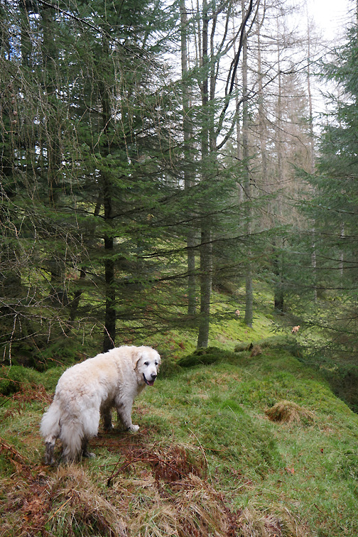
To continue all the way round on the outside of the forestry meant a slightly extended climb, so we headed down to a ladder stile which crosses the deer fence . . . the dogs slid underneath !
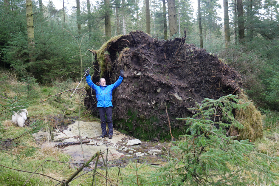
Into an area of fallen trees . . . the root ball of this one must even now be over twelve feet in circumference.
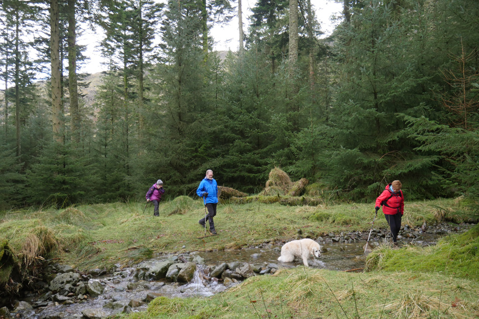
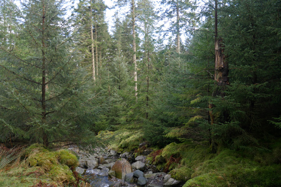
The green path gradually got wider and wider . . . then we crossed Mosshause Gill.
Soon we reached the forest track again . . . just as Gill planned. You can just see the tarn through a gap in the trees.
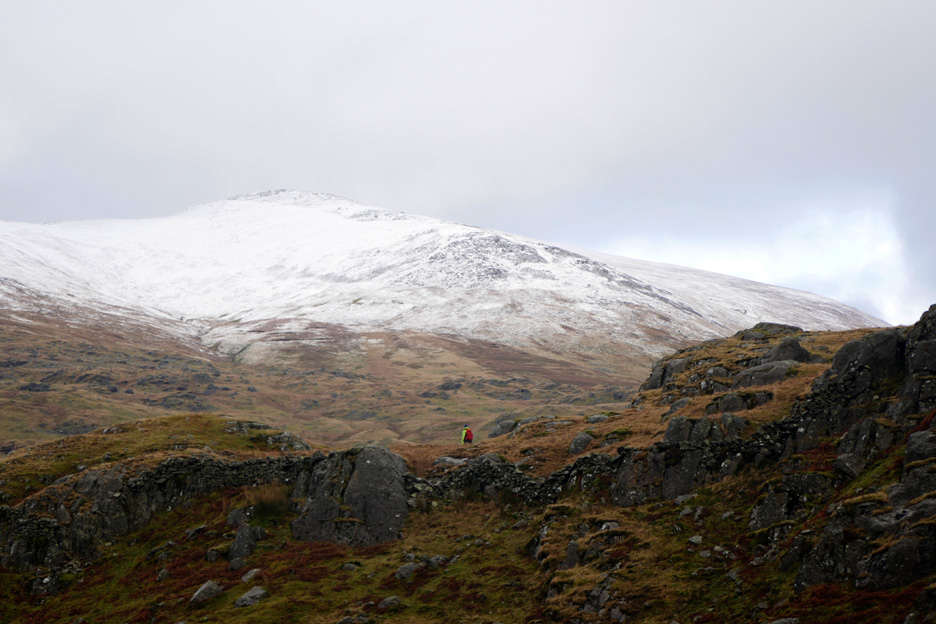
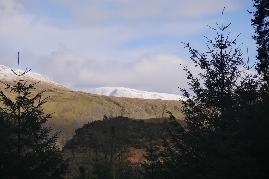
Zooming in on the snow . . . It turns out to be Fairfield rather than any of the Helvellyn summits.
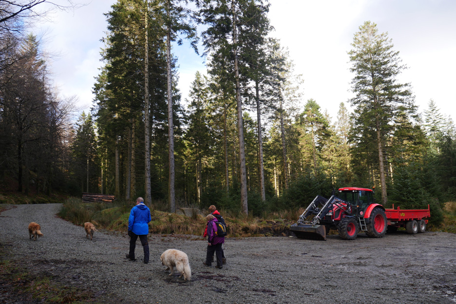
The forest track climbs up through the trees then turns right, circling round to descend towards Bank Crags, our route back to the car. A forest tractor add a spot of bright colour to the surroundings.
The same scene, more or less, a few years back.
. . . but here it is . . . a newly resurfaced track gently descending through the old woodland.
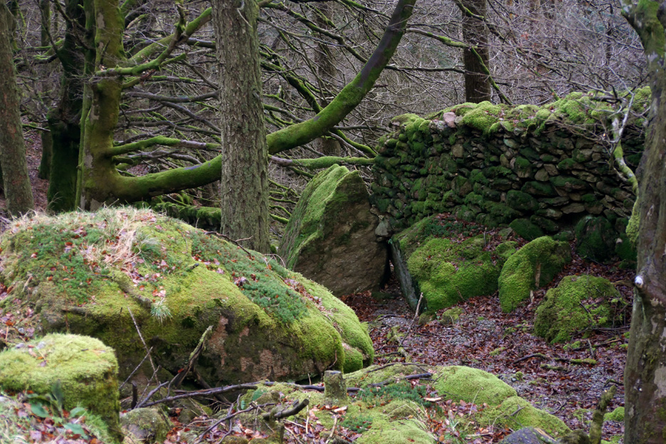
The old woodland . . . with old walls and more rich moss growing on them.
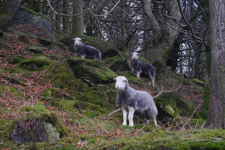
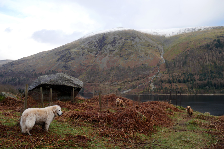
Our passing didn't go unnoticed by these three local herdwicks.
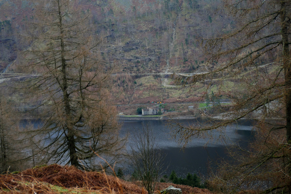
As we leave the woodland near Bank Crags we get a view of the water board castle alongside Thirlmere. The building is the 'Straining Well' (valves and basic filters) at the start of the water pipeline to Manchester.
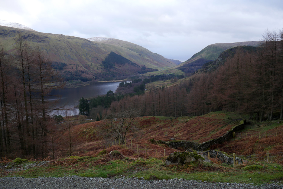
I walked the track just a little further to catch the view south again.
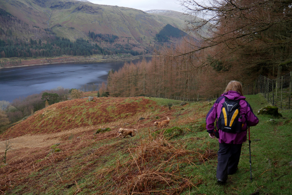
Our route down will follow the grass slope alongside the forest fence. Finlay and Dylan still have plenty of energy to run and chase each other.
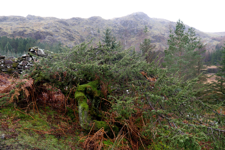
A large fallen boulder which doesn't feature on the map . . . but was a real landmark on the way down.
There was also a wrought iron circular structure which Gill reckoned may have been a beacon site.
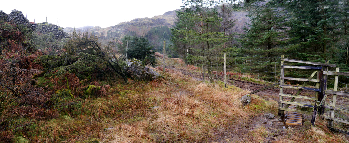
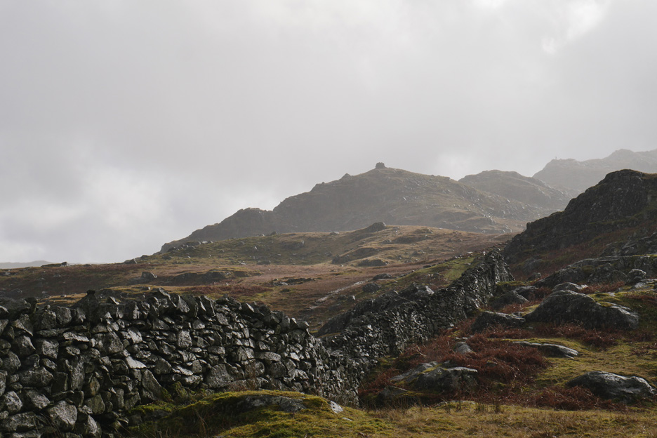
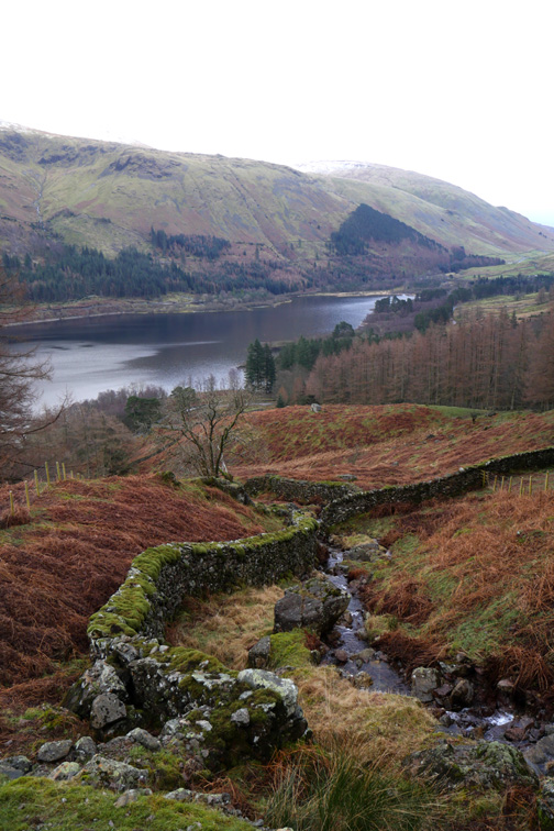
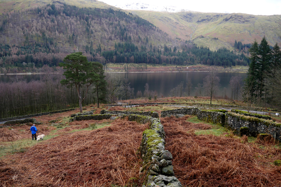
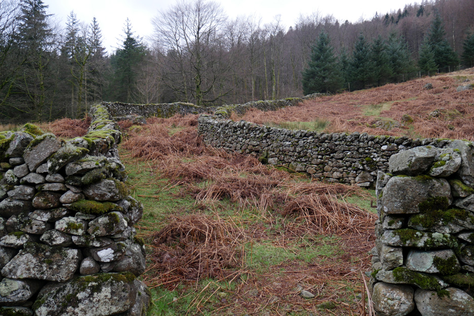
Almost back at the road, we came across an old double wall.
This was a set of two gathering walls for the collecting up of the moorland sheep.
The wall system was adjacent to the road and so it was just a short distance back to the car park where we had started some three hours ago. - - - o o o - - - The title of today's walk (Five Faces of Harrop Tarn) was inspired by the wonderful variety of this round walk. We climbed through the conifer woodland, walked the open fellside around Harrop Tarn, almost scrambled at times under Tarn Crags, re-entered the commercial woodland and finally descended through historic trees and grass slopes of the sheep gather. Altogether a lovely walk . . . the slightly damp conditions being forgotten due to the ever changing, attractive nature of the walk. - - - o o o - - - |
Technical note: Pictures taken with either Ann's Panasonic Lumix TZ60, or my Panasonic Lumix Gx8 Compact System Camera. Resized in Photoshop, and built up on a Dreamweaver web builder. This site best viewed with . . . someone who had been on the forest tracks before ! Go to Top . . . © RmH . . . Email me here Previous walk - 18 - 26th February 2017 - Doris, Ewan and Jenna A previous time up here - 16th January 2004 Steel Fell in the snow, with Dave Newton Next walk - 9th March 2017 - Sunny Ennerdale Lake
|