![]()

Remember: Press F11 for a full
screen view of this page.
|
|
|
Remember: Press F11 for a full
screen view of this page. |
|
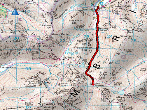
" Taylor Wimpey 3 Peaks challenge - Esk Hause " Date & start time: Friday 13th May 2016, 12.45 pm start. Location of Start : Seathwaite Farm, Head of Borrowdale, Cumbria, Uk ( NY 235 122 ) Places visited : Seathwaite, Stockley Bridge, Grains Gill, Esk Hause, back to Grains Gill and down to the valley again. Walk details : 7 mls, 2250 feet of ascent, 8.5 hours (5 of which at Esk Hause). Highest point : A very windy Esk Hause, 2500 ft above sea level. Walked with : Myself and Dylan, with five other marshalls and 22 challenge teams. Weather : Sunny to start, clouding over but clearing later, just as forecasted. A cold NE wind. |
© Crown copyright. All rights reserved. Licence number PU 100034184. |
|
On the fells again at the request of Global Challenge UK to help provide safety cover for a charity " Three Peaks" event. Twenty two teams from Taylor Wimpey set out to climb the three highest peaks, one in each of the three regions of the UK Mainland. To reduce the pressure on the teams drivers to speed between locations and to minimise local disturbance during 3 peaks events the teams will climb (Wales's) Snowdon and (England's) Scafell Pike today and then (Scotland's) Ben Nevis at first light tomorrow. Still quite a challenge to do three big climbs one after the other in that limited time period !
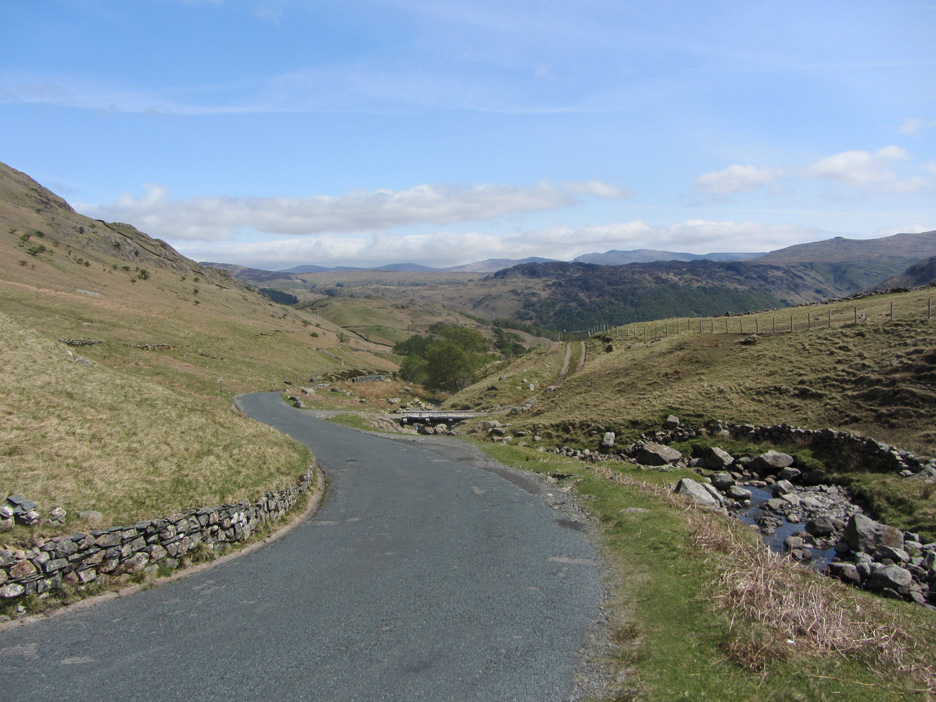
The scene (Friday) as I drove over Honister on the way from Loweswater to Seathwaite in Borrowdale. The sun is shining . . . that will be nice . . . as I've a full day on the high fells today.
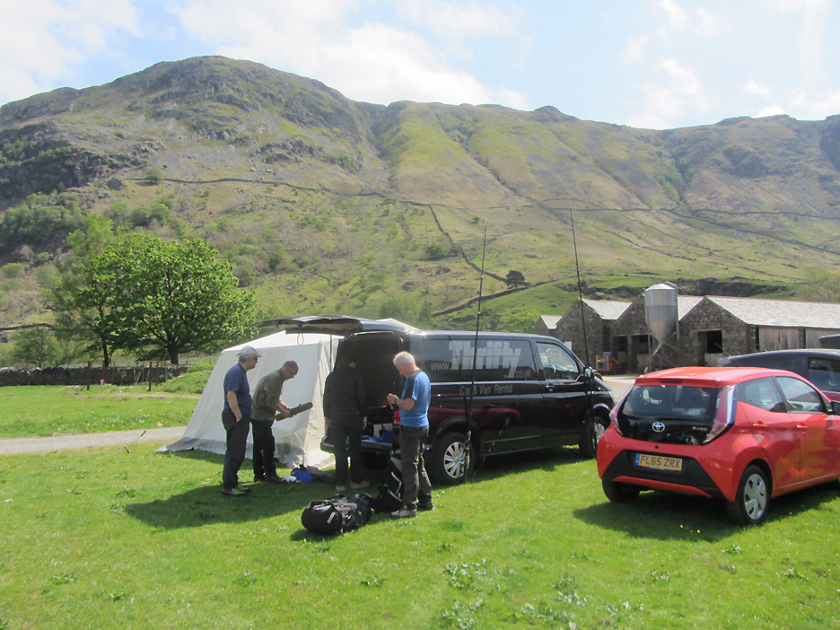
I meet up with Global Challenge and the rest of our marshalling group at the tent in Seathwaite Farm where we pick up team sheets, radios and any last minute instructions.
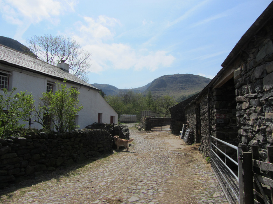
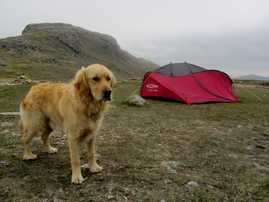
Time to be off . . . Dylan leads the way through the farmyard.
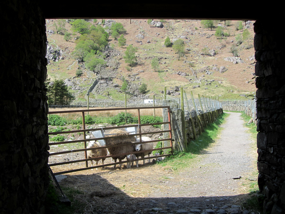
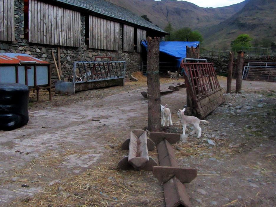
Passing the side arch and the path to Base Brown and Sour Milk Gill. One little lamb seems to be pushed under the railings as his mum reaches for another mouthful of hay.
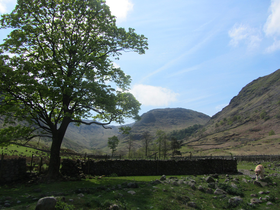
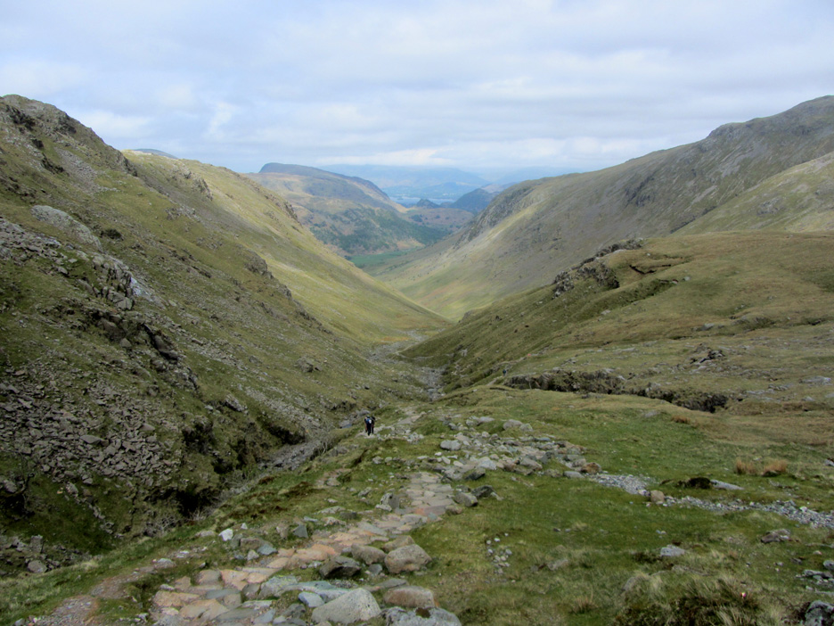
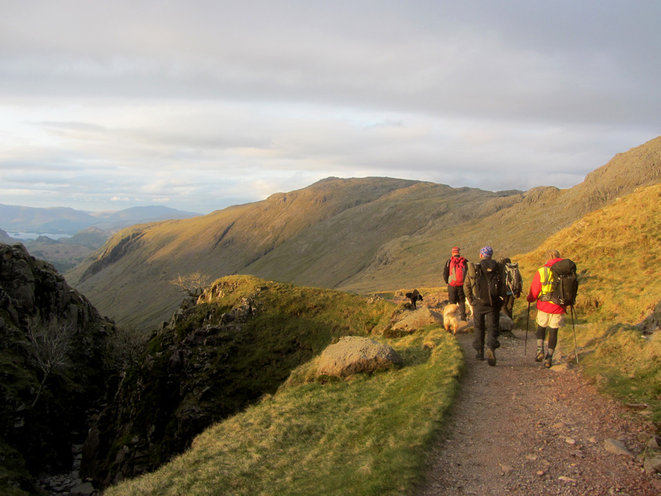
That's where Dylan and I are heading . . . Great End and, in particular, Esk Hause to the left. It is lovely and sunny down here . . . and warm . . . there's hardly any breeze.
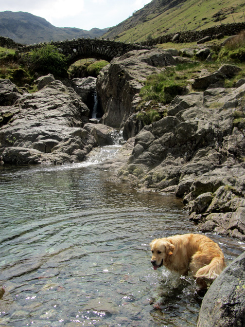
The upper Borrowdale Valley looking towards Seathwaite Fell. Taylor Gill and Taylor Gill Force (waterfall) can be seen in the trees directly ahead. That's a lovely way up to Styhead Tarn and there's a bit of an easy scramble which is nice . . . but I'm going a different way today.
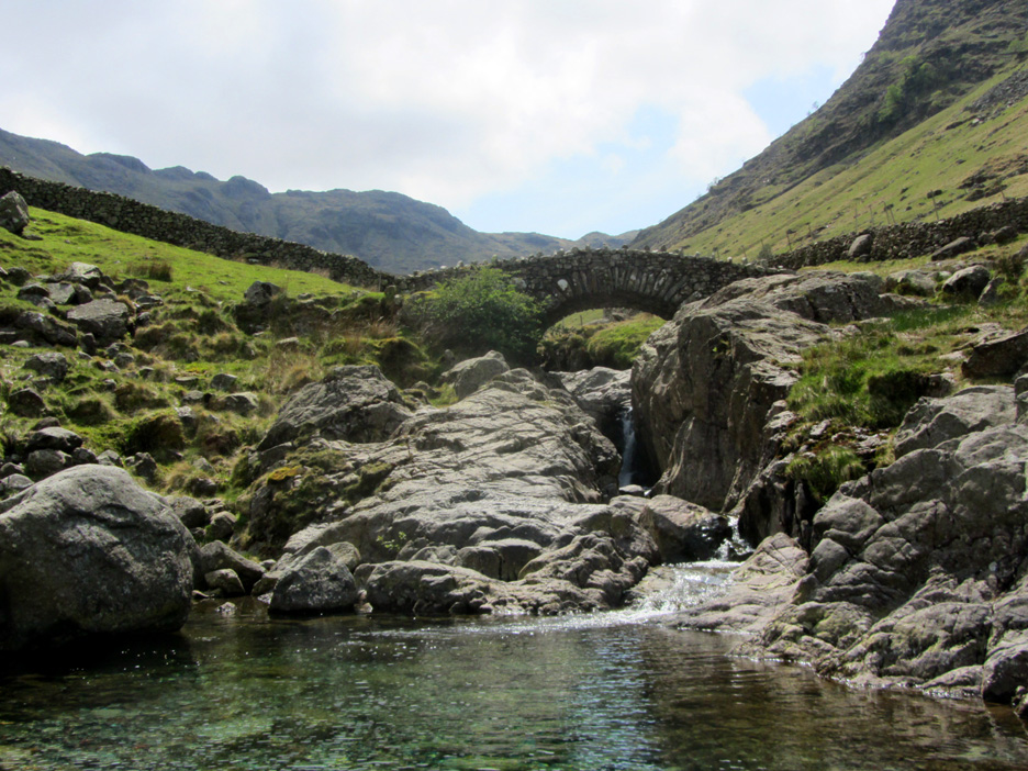
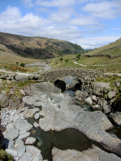
Stockley Bridge . . . at the start of the Grains Gill climb towards Esk Hause.
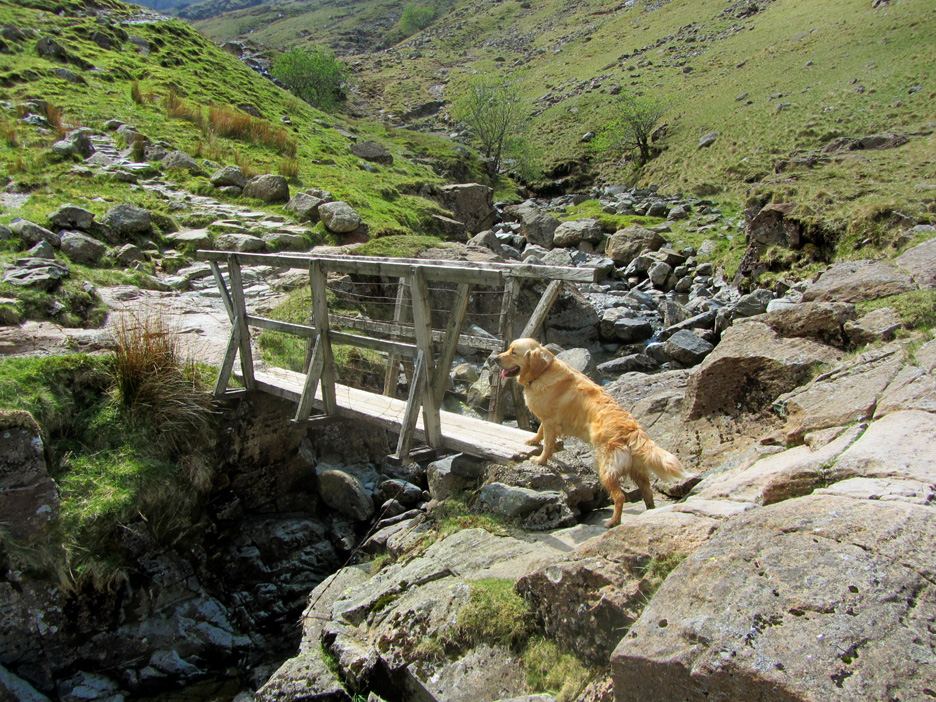
The footbridge half way up the Grains Gill path, known locally as "White Bridge". Once over this the gradient increases significantly.
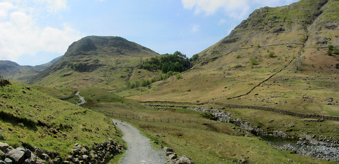
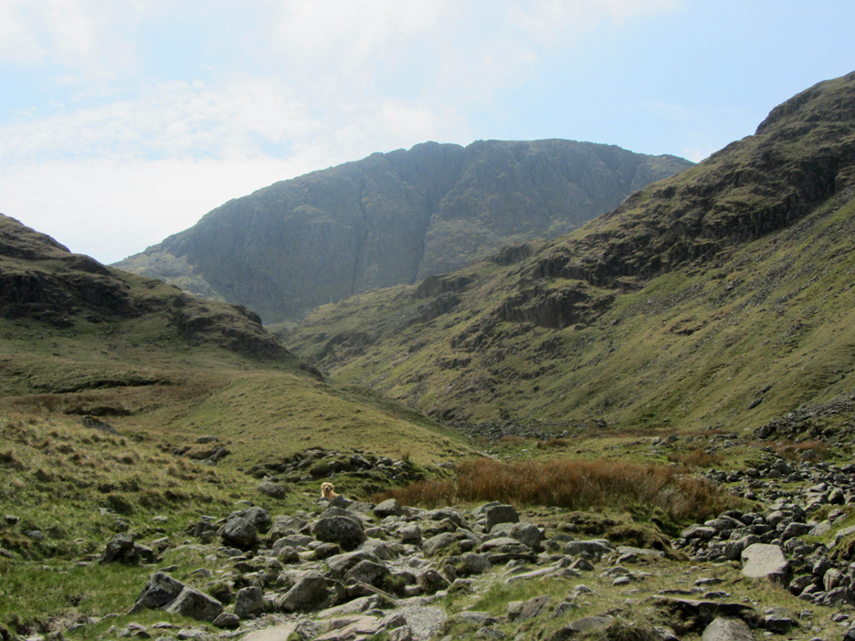
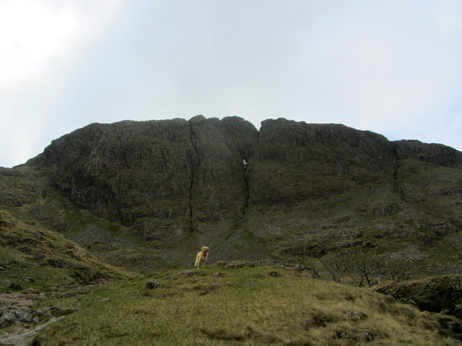
Great End ahead but it seems to be getting closer rather slowly . . . or am I just a little unfit ?
Looking back (north) down the length of Borrowdale. The path here has been pitched with rock steps and slabs which keeps erosion to a minimum on this busy route.
That's better . . . the addition of two trekking poles seemed to speed me up . . . certainly eased the climb. That white patch in the central gully is the last snow of the winter . . . the golden patch is Dylan ahead.
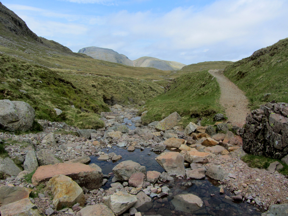
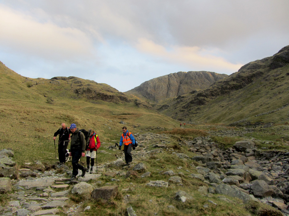
Grains Gill has now changed its name to Ruddy Gill by the time we reach the stepping stones. The name change is due to the red sandstone rock that flanks the stream above this point of the climb.
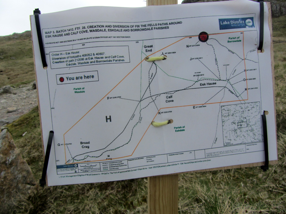
A touch of city centre bureaucracy on the fells . . . notification of a change of alignment of public footpaths. From what I can gather the path is not being diverted . . . the rights of way on the map are just being changed to reflect the reality on the ground. [ Hold your cursor over the picture to see the O.S. 1:25k map . . . it makes more sense ] Do they really need to walk all the way up with a sign . . . one down at the farmhouse will have sufficed.
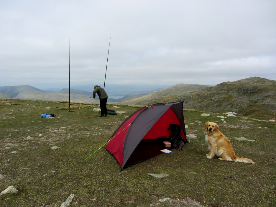
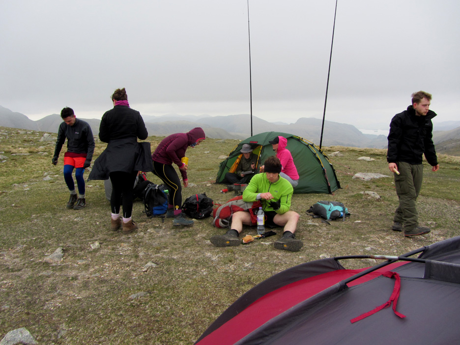
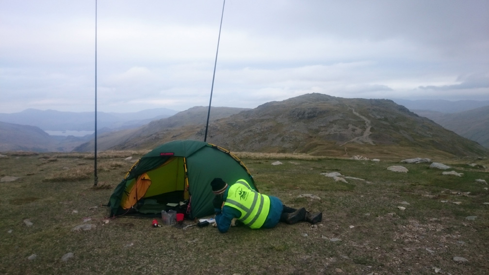
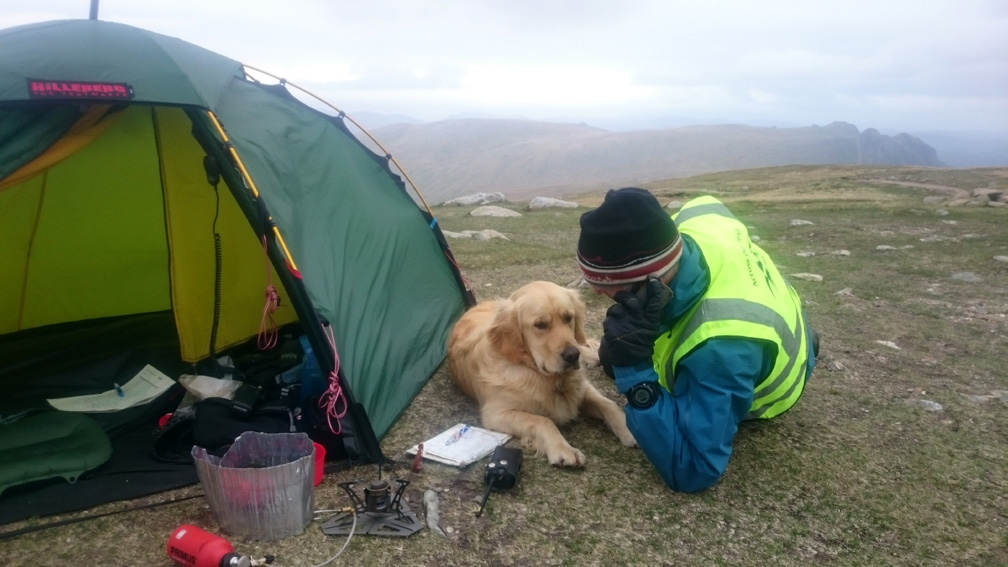
The level close cropped grass tells us we've reached Esk Hause and the high level interchange for a number of famous Lakeland paths. My shelter is up and my colleague Paul is starting to erect his tent which will house the radio relay for today. [The VHF equipment that our marshalls and the teams use is only effective in line-of-sigh, so Scafell Pike summit needs a relay to be able to talk to Base.]
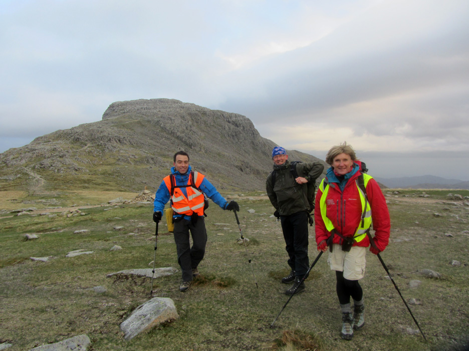
Soon after we settle in I'm joined by Jo and Alison, both medics who are on call today for any medically technical problems. The gentleman standing called Dylan by name . . . so I guess he must be a Loweswatercam viewer out for a walk ! Clive introduced himself . . . we have met in Fishers in the dim and distant past . . . nice to catch up again today. [ The voice was familiar . . . thanks for helping me out with the name.]
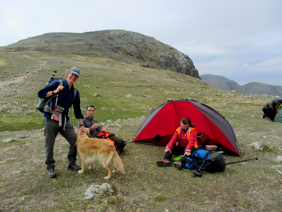
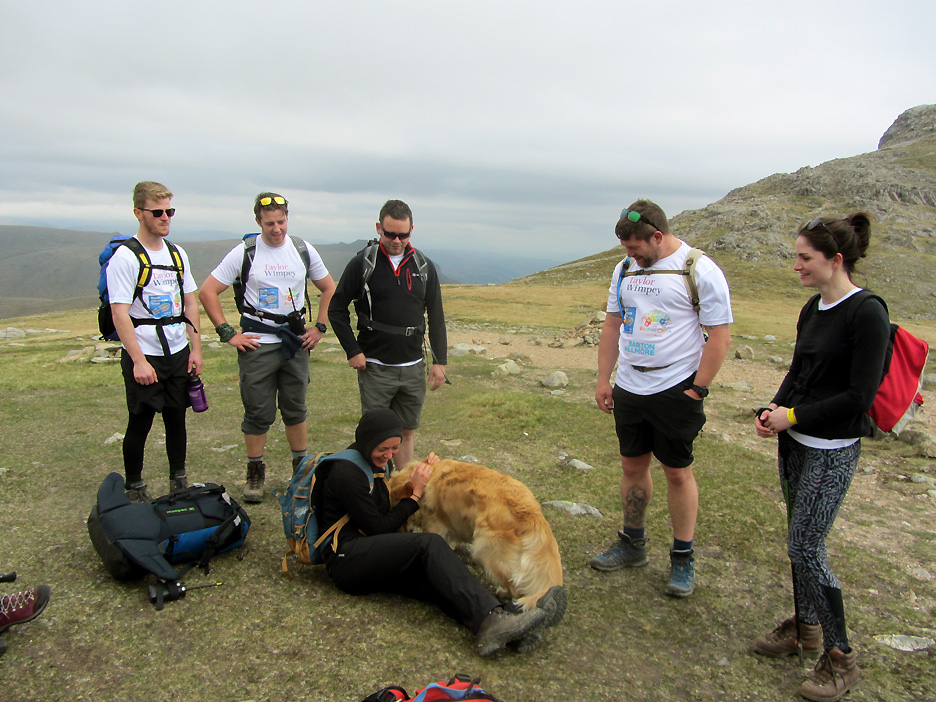
Down to work now as the teams start arriving. Esk Hause is roughly half way, time-wise to the Pike so chance for a chat and a brief rest for the teams if needed. This is Team Bugs Bunny . . . sharing an enthusiastic greeting with Dylan.
Sunshine but a cold north easterly breeze up here. Time to put on an extra layer as teams re-group after the climb up Grains Gill.
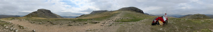
The weather seems to be clouding over (as forecasted) so I take the opportunity of a big picture from our base here on 'South Coll' (Esk Hause). Click here or on the photo above for a Loweswatercam 360 degree annotated panorama.
Loes from Team Buzz Lightyear takes to the shelter for a few moments . . . but she's not alone either !
Teams come and go . . . this (I believe) is Team Flash Gordon making a quick pit-stop on the way up. The weather is turning and as the sun disappears, the cloud base drops and that wind seems just that (big) bit colder ! Standing around for five hours at Esk Hause check point doesn't help either . . . hence the need for shelters.
Occasionally I chose to shelter behind Paul's tent. Helpful when discussing team positions and radio checks.
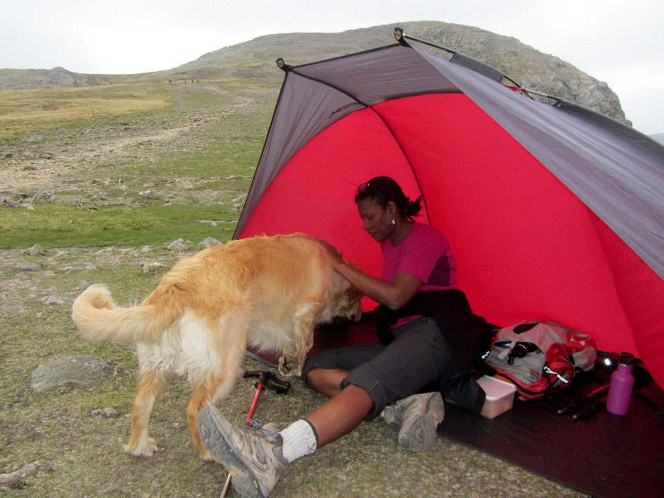
Sometimes I had a furry hot water bottle to improve matters . . . [ Photos from Paul with thanks]
Dylan comes over later to tell me that 'the wind has got up and his shelter needs a little extra support please'. - - - o o o - - - There were twenty two teams all of whom were counted out and counted back (we didn't lose any !) As the afternoon drew to a close the cloud lifted again. All the teams have managed to reach the top successfully. Most teams had a summit view but while the cloud was down the middle teams weren't quite so lucky.
Medic Jo, Radio relay Paul and Leader Nuala. As the last team was checked through it was time for us to pack the tents away and follow them down.
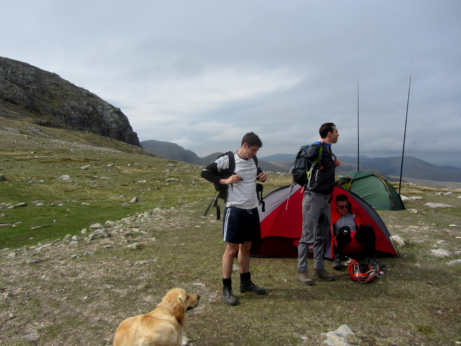
Team Yogi Bear . . . last on the hill but they started last too, so they've made good time on the climb.
In speaking to Ann via the mobile phone (yes we're all technology here today) she said the cloud was clearing over Loweswater. Sure enough, as we rounded the base of Great End the cloud started to break and the sunshine shone through again.
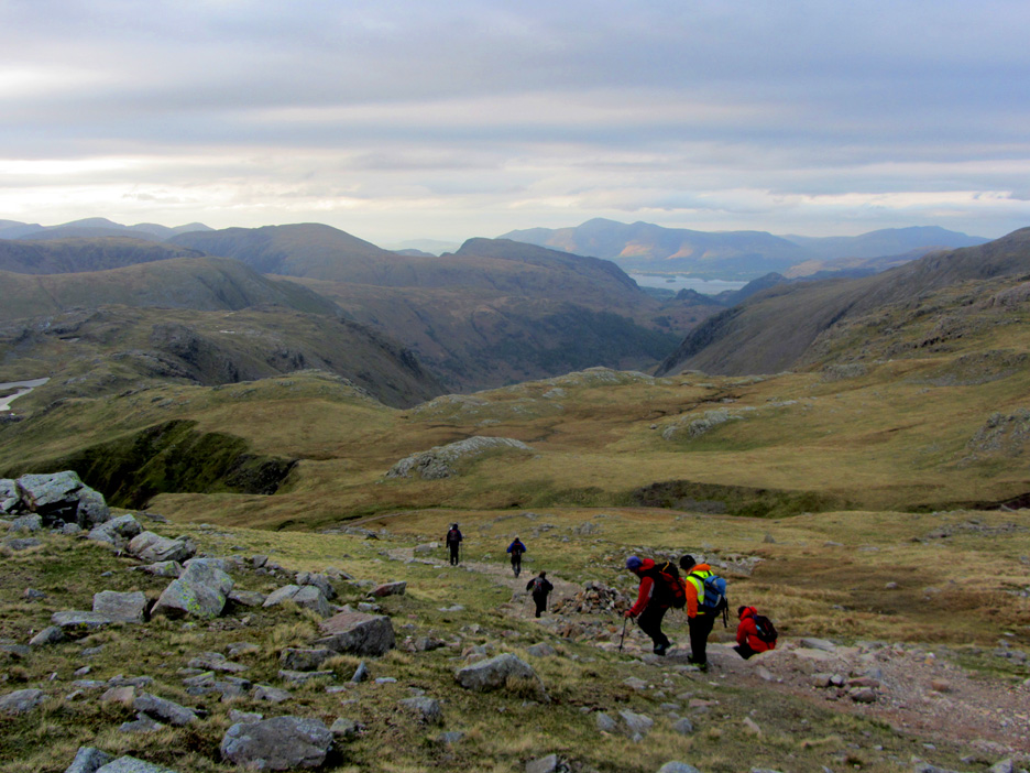
Our small group of marshalls walking out at the top of Grains Gill once again.
An easy descent today following the path we used on the way up. With the late sunshine and lack of wind in the valley, plus the fact we were moving, things have got a lot warmer.
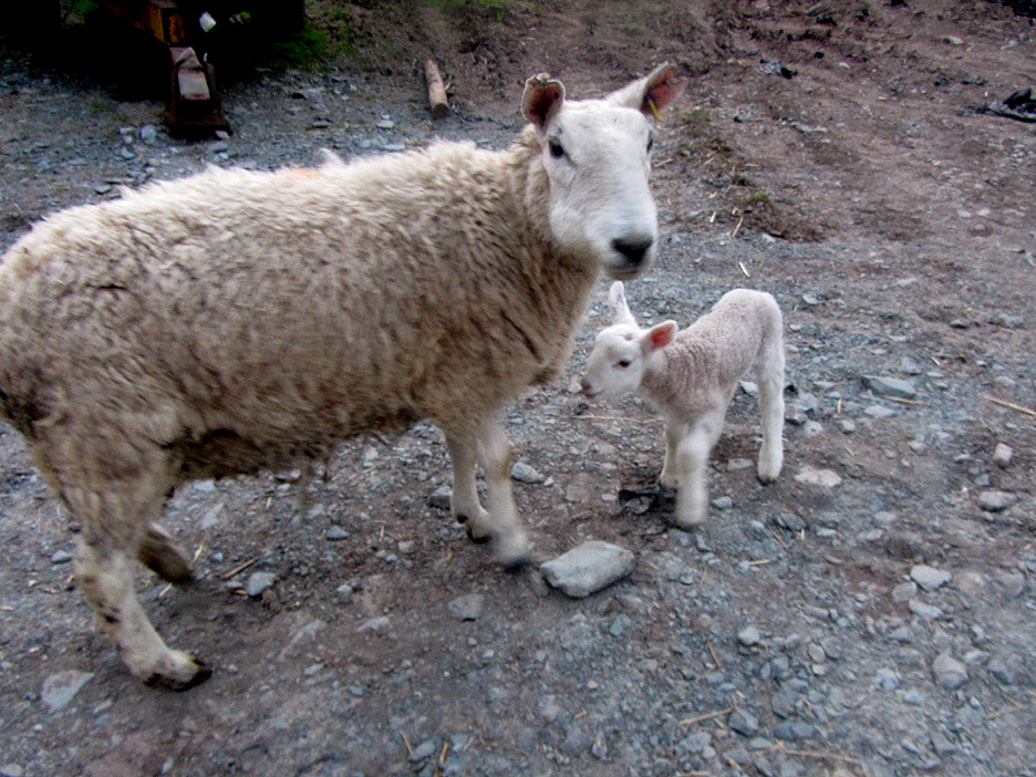
Back in the camp ground field these two youngsters were looking for their mum. I missed a superb photo as they rushed over to Dylan, only to realise their mistake . . . He was totally un-phased by the close encounter.
By the time the camera was out mum had arrived and normality had returned to the lamb's little world.
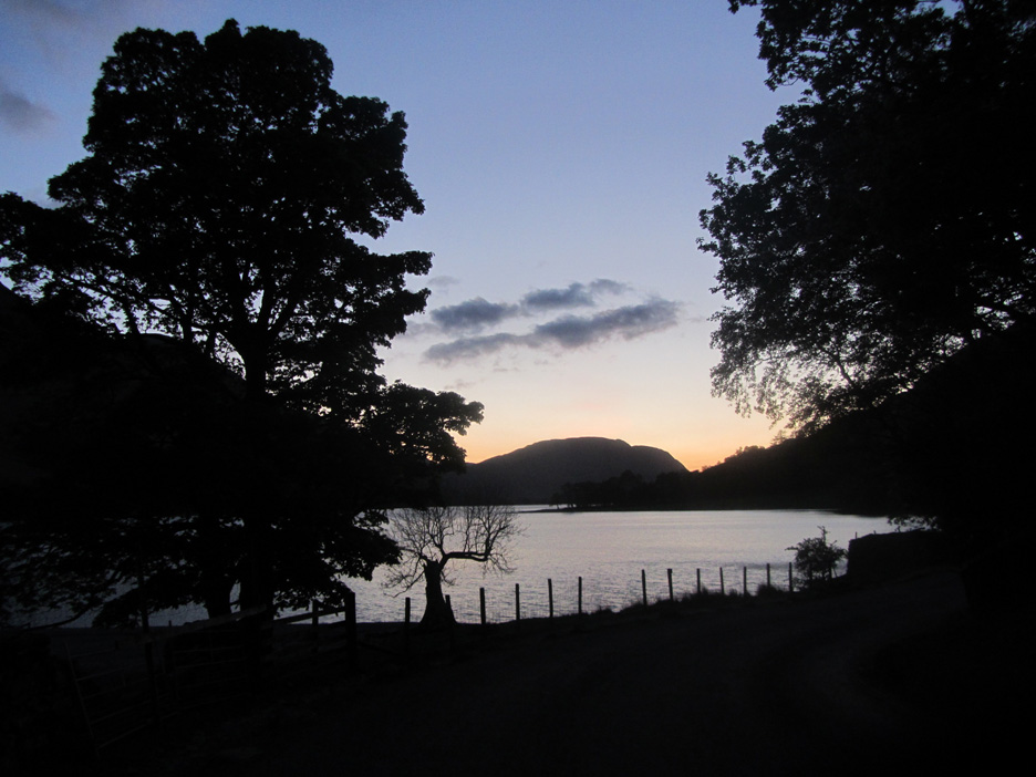
Equipment returned, a welcome hot coffee consumed, it was time to return home via the Buttermere Valley. Sunset over Buttermere at 9.35 pm. - - - o o o - - -
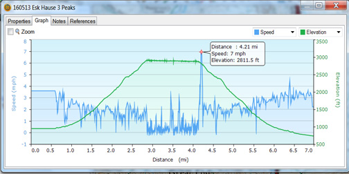
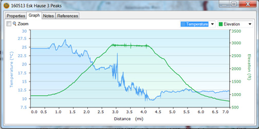
I don't normally print out this information for the report, but my wrist watch did record some interesting information today. [Please bear in mind that the height is exaggerated due to not calibrating the base height / barometric pressure at the start, and the temp readings changed down slightly as I re-positioned the watch on the outside of my coat once on Esk Hause.] You can see how slowly we moved about at the checkpoint and how symmetrical the height graph was. Add the wind chill effect due to the strong breeze and the temperature of 9 degrees would have been near freezing on exposed hands and face despite the warm sunshine at valley level that we've been experiencing over the last few weeks. (I had gloves on all the time.) Bye the way: The 7 mph burst of speed on the first graph was me running to take a photo of the group leaving Esk Hause. - - - o o o - - - |
Technical note: Pictures taken with our Canon Sureshot SX220 Digital SLR. Resized in Photoshop, and built up on a Dreamweaver web builder. This site best viewed with . . . with one extra warm layer of clothing more than I took on the day ! Go to Top . . . © RmH . . . Email me here Previous walk - 9th May 2016 - The Red Phone Box at Loweswater A previous time up here - 12th September 2010 Scafell 3 Peaks Challenge Next walk - 14th May 2016 - Rannerdale Bluebells - 2 -
|