![]()

Remember: Press F11 for a full
screen view of this page.
|
|
|
Remember: Press F11 for a full
screen view of this page. |
|
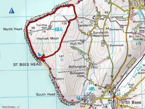
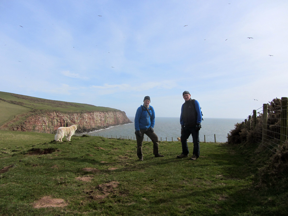
" St Bees Head and Fleswick Bay " Date & start time: Friday 25th March 2016, 12.45 pm start. ( NX 955 148 ) Location of Start : The Radio Mast, Hannah Moor Lane, St Bees, Cumbria, Uk. Places visited : Quarry Bungalows, North Head. St Bees Head, Fleswick Bay and back via Hannah Moor Lane to the Radio Mast. Walk details : 4 mls, 575 feet of ascent (approx), 3 hours 35 mins including lunch. Highest point : At radio mast, 400 ft - 126m. Walked with : Hilton, Ann and our dogs, Harry and Dylan. Weather : Sunshine but becoming overcast as the afternoon progressed. |
© Crown copyright. All rights reserved. Licence number PU 100034184. |
|
Based on an idea in the George Fisher's Update Magazine we adapt the "Walk of the Month" into a shorter round starting and ending at the radio mast on Hannah Moor. Some familiar sights but some new ones too as we add a little extra on the start, compared to previous visits and gained an extra half mile of headland walking.
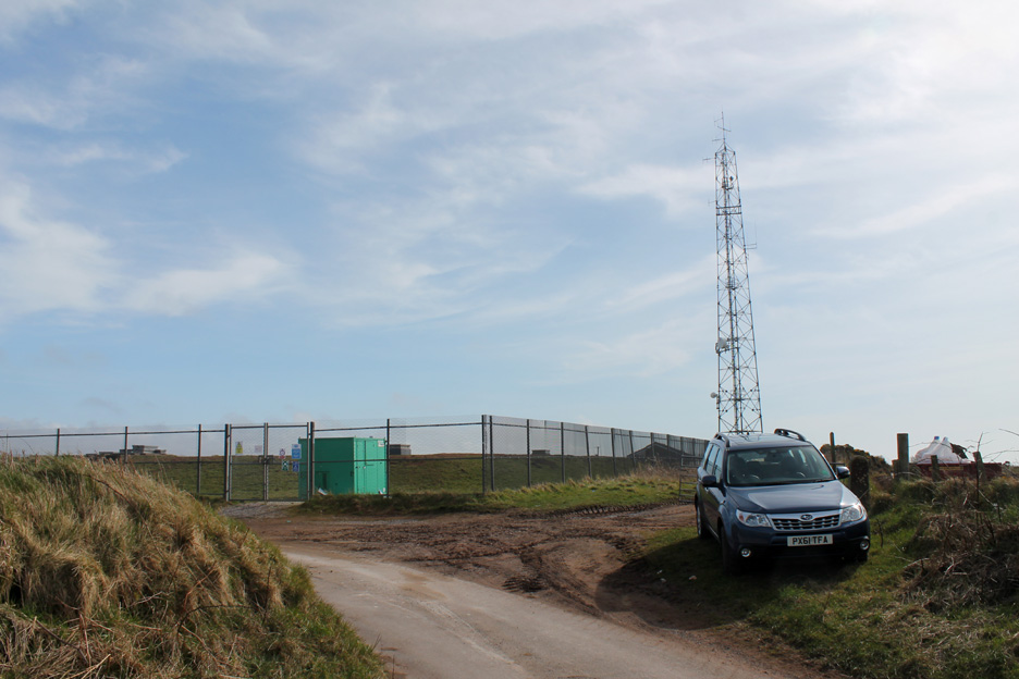
Parking for us at Hannah Moor Radio Mast. It transmits the Water Board reservoir system information, the weather station info and no doubt a digital phone signal or two.
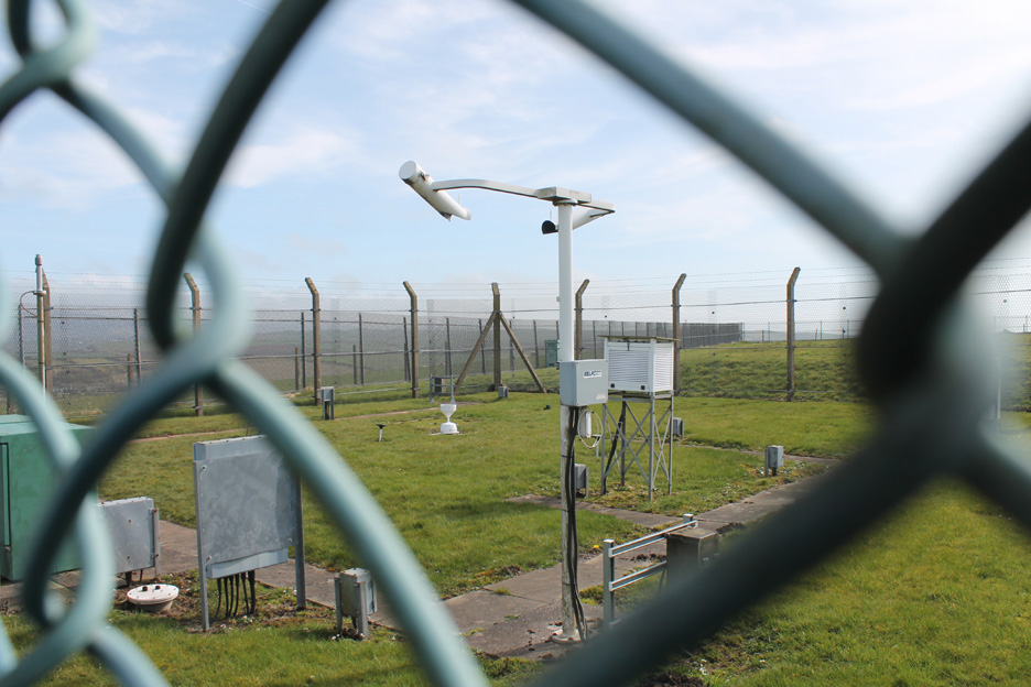
'Said weather station' behind bars so that no weather escapes without being noticed.
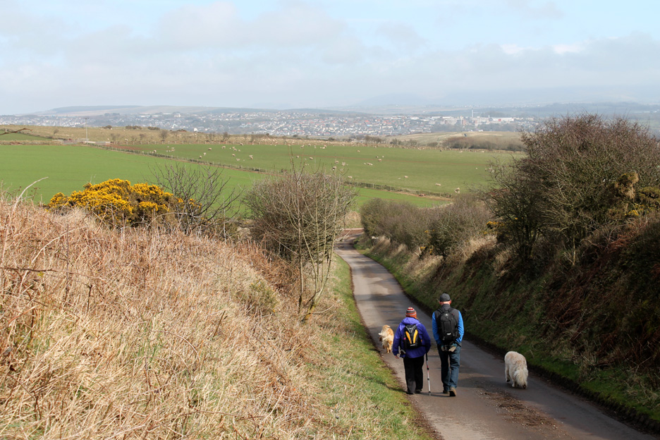
A short extra road walk today as we head away from the coast. A left turn at the bottom of the hill will take us out to the coastal path via the Quarry Cottages.
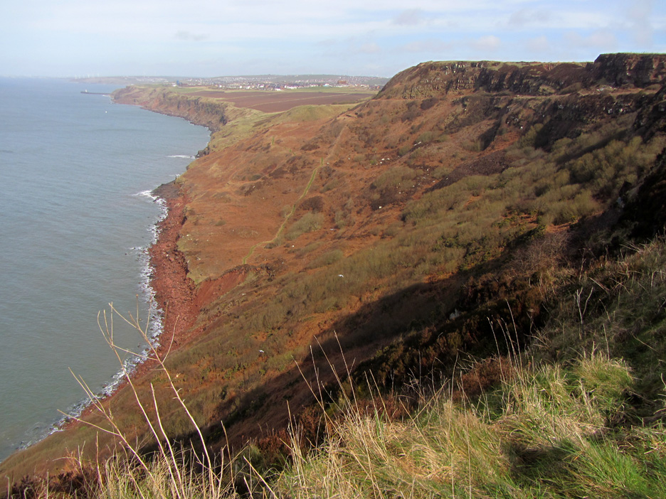
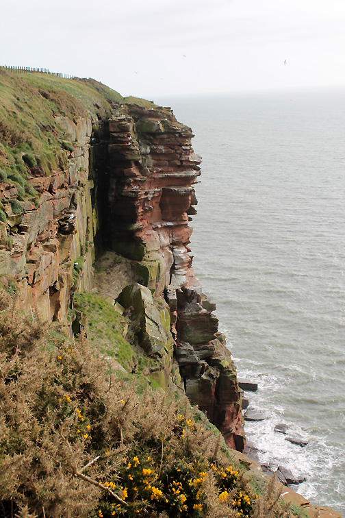
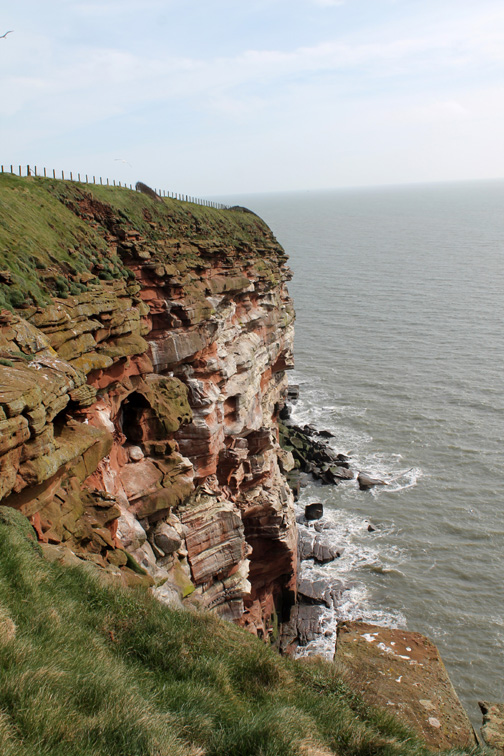
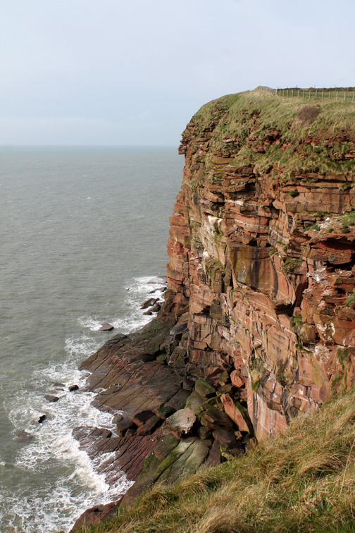
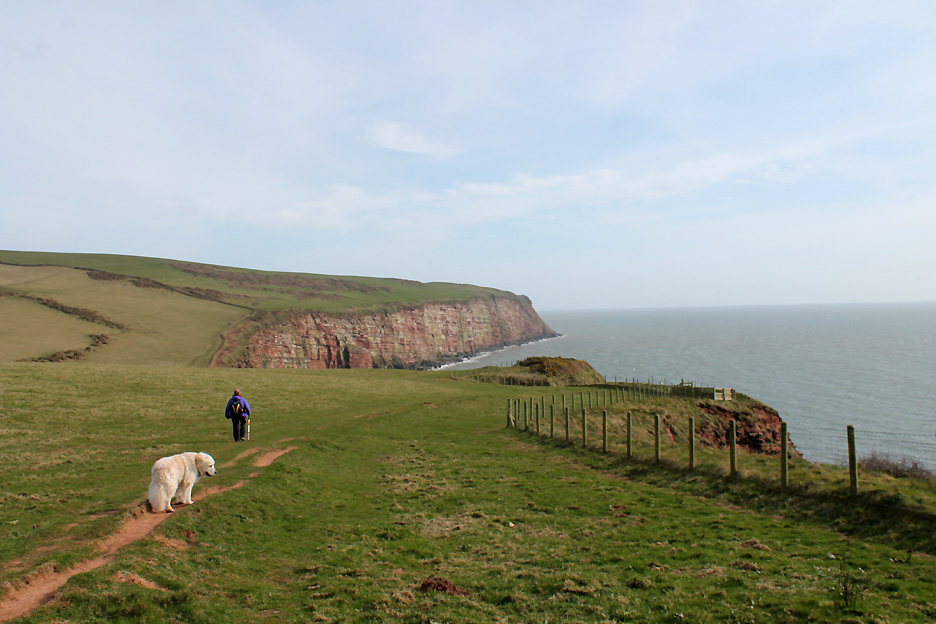
This section of the coast path from St Bees to Whitehaven is renowned for the colour of the farm fields, the sea cliffs and of the sea itself.
The end of the road. The red coastal colour is augmented by the recent excavations at Marshall's Quarry.
It is good to see a working industry. Who knows, the red sandstone blocks for our Lorton Bridge repair may have come from here ?
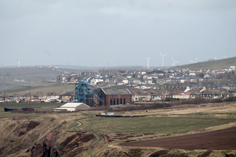
So two miles away you can see the old Haig Pit (coal) mine buildings. Closed in 1986, the winding engine house and headgear are now open as the Haig Colliery Mining Museum.
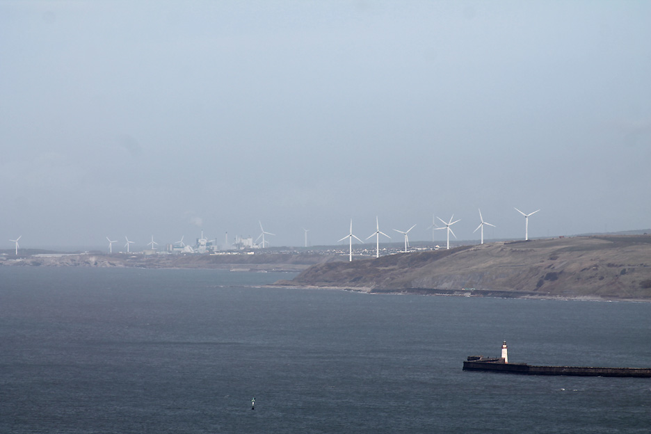
Beyond the harbour lights of Whitehaven are the wind farms and industrial development of Workington further up the coast.
To the west the path continues on towards St Bees Head.
This is good arable farming land which has been recently ploughed, presumably ready for planting cereals.
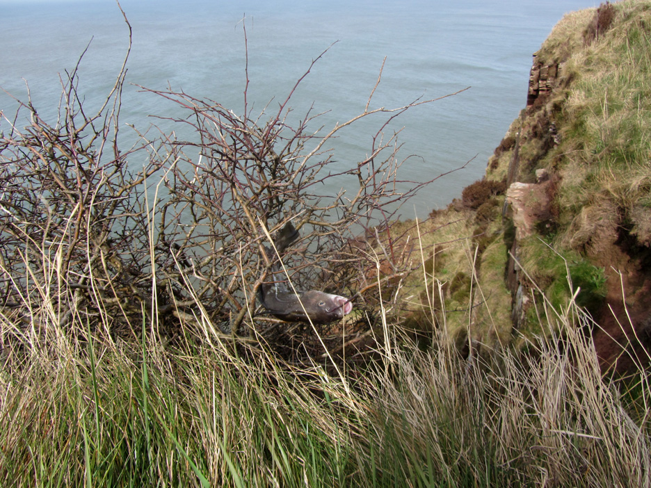
A strange one this . . . but a stray pollack(?) has jumped the 300 feet up from the sea and landed on this bush. Alternatively it has been discarded by a fisher man or even dropped by a passing sea bird ?
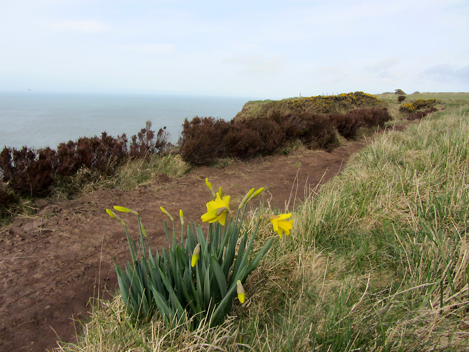
A small seat created out of the dry stone wall is complimented by a small bunch of daffodils growing wild in the grass bank. [ A quiet memorial and so much better than a dead bunch of old cut flowers in a plastic wrapper.]
Hilton and I study some carvings on a smooth rock alongside the path.
Ancient graffiti, the rock face and the inscriptions reflecting the passage of time.
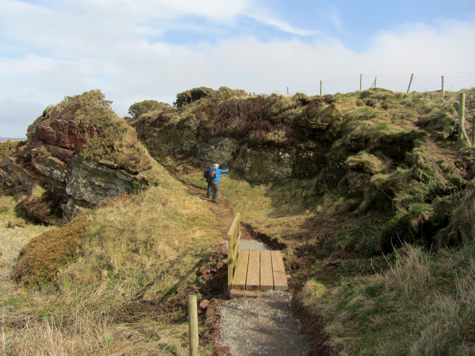
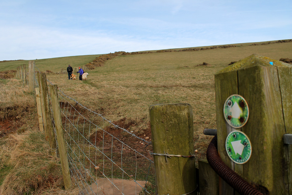
However the path and gate upgrades that have just been done on this stretch of the coastal path are brand new.
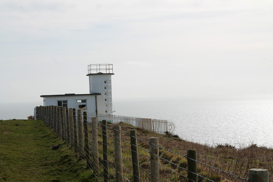
At the western extremity of North Head stands the unmanned lighthouse of St Bees.
On the other side of the fence is the associated fog horn building.
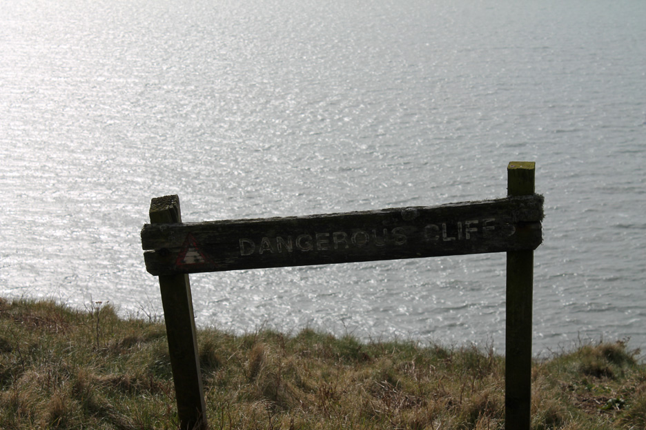
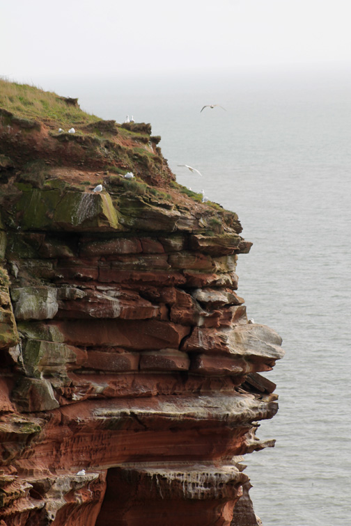
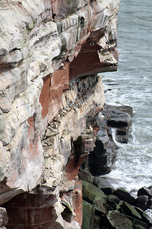
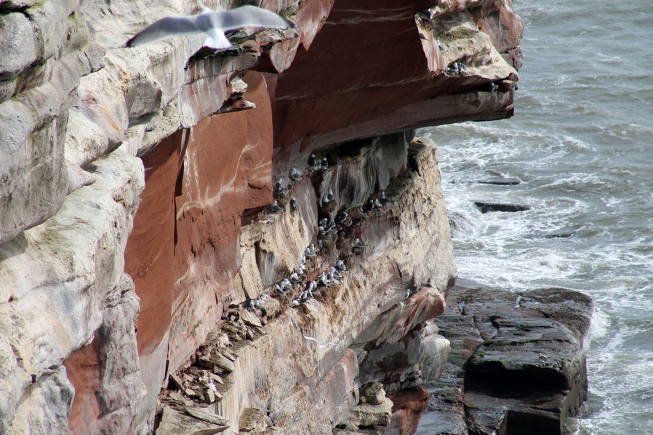
This notice was on the other side of the coastal fence . . . it must be for bad days when the visibility is less than 300 feet ! The rest of the time the problem is plainly obvious. - - - o o o - - - St Bees Head is famous for its sea bird colonies which take advantage of the relative safety of the high cliffs.
" On the Wing "
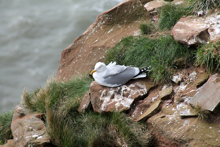
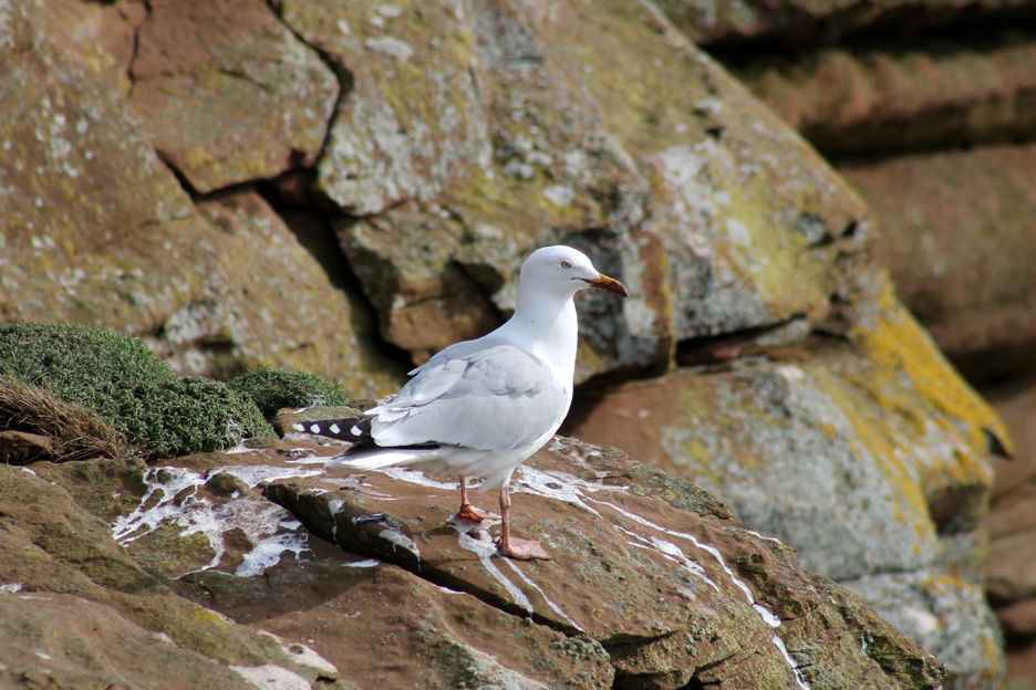
Two herring gulls on the cliff edge.
Making a stand on the rock outcrop.
Claiming a nesting spot perhaps ?
Most likely kittiwakes . . . so called because of the sound of their call.
Another, larger herring gull on the next section of cliffs.
In the breeding season these cliffs are special as they are home to the only mainland breeding colony of black guillemots in Britain.
The coast path now starts to dip as we leave the high cliffs of North Head.
Ann wanted a picture of the birds flying in the sky . . . the boys just got in the way !
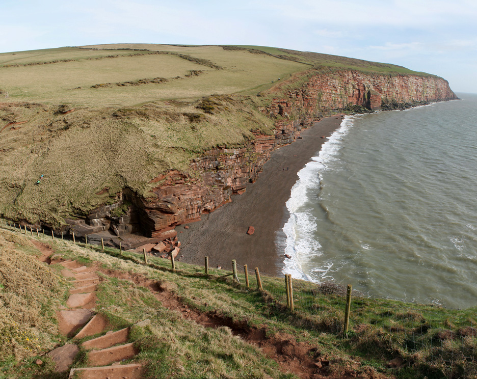
Long distance coastal paths often suffer a common problem . . . they continually have to drop to virtually sea level to cross streams and rivers. No problem for us today as we wanted to get to the beach anyway.
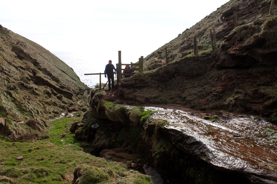
The path follows the fence down to the valley.
Take care as you cross wet and slippery rock.
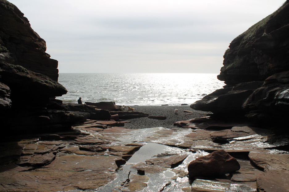
The final path follows the stream down to Fleswick Bay.
Can you see a dog's face on that projecting cliff ?
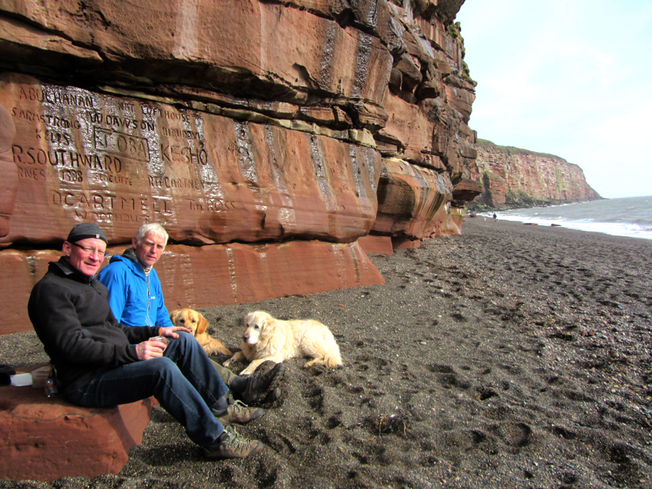
More classic graffiti carved out of the soft sandstone at the back of the beach.
The fallen rock in front made a great place to sit for a spot of lunch.
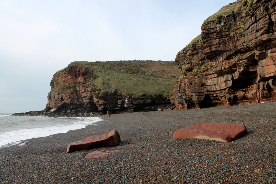
No rush to leave . . . so we can wonder along the beach for a while.
Beneath the pebbles on the beach was a pavement of red sandstone.
Wave action has cut shapes into in the rock.
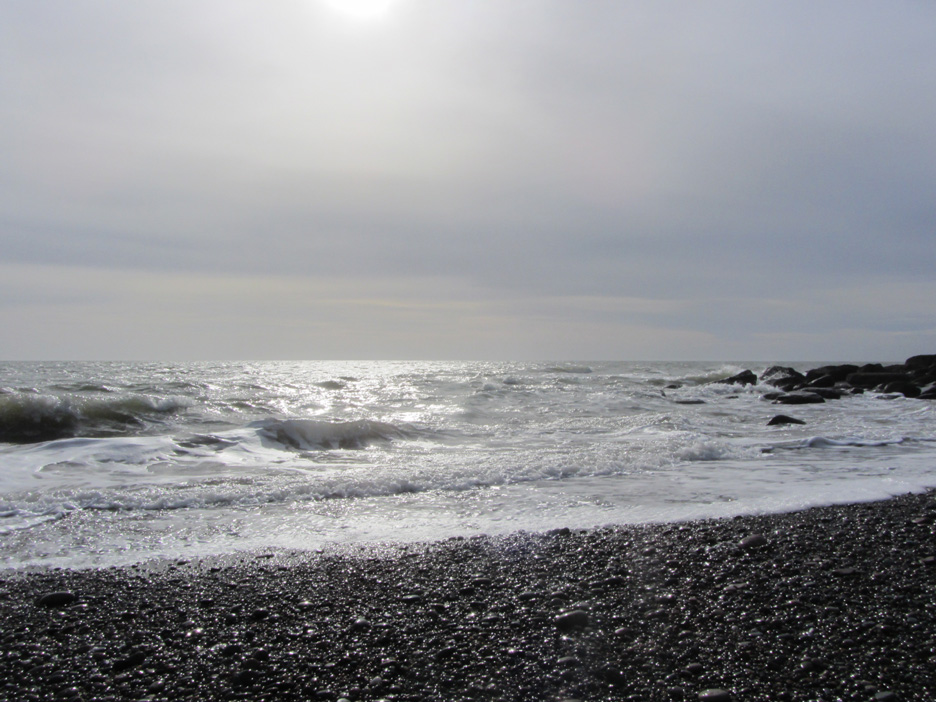
Close to the low tide line, regular immersion has encouraged seaweed to grow.
All the time the sea ebbs and flows with the gentle sound of the waves. Hold your cursor over the picture to follow the action (if not the sound).
Time to leave the beach and the coastal path . . . as we head up the steeper footpath, inland and up onto Hannah Moor.
Farm fields now with the signs pointing this side and a later footpath stile on the opposite side of the wall. The map showed us on the path so we weren't too worried. Our bigger field didn't need a stile anyway.
A gateway at the top of the field opened up the wider view of the high Cumbrian Fells. We're looking at Blake, Grasmoor and Floutern Pass . . . and Dylan.
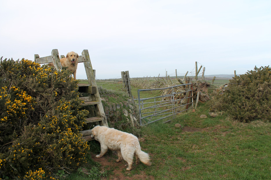
Sadly our exit gate was padlocked shut so we had to maneuver the dogs (Harry in particular) over the ladder stile.
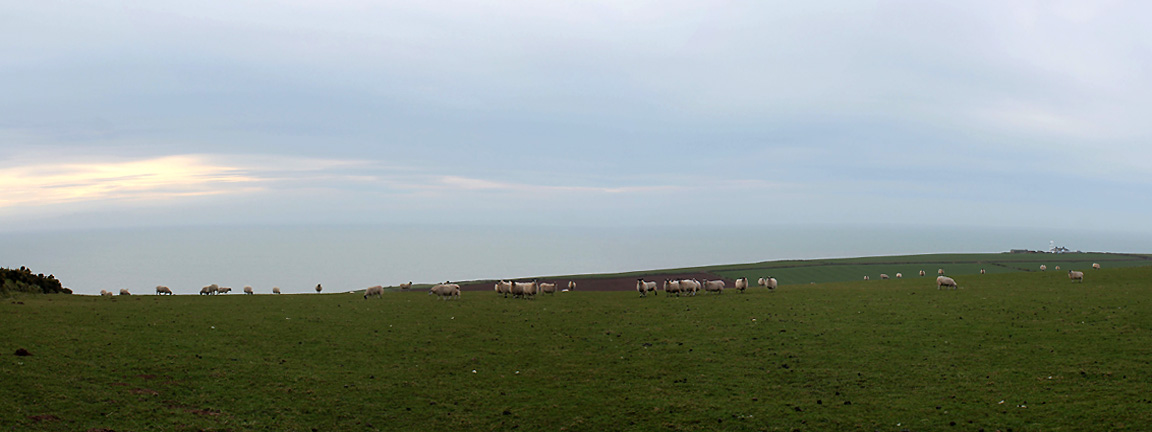
In the left hand field a flock of sheep . . . but no lambs here yet. Beyond is the western panorama of the Irish Sea, but the Isle Of Man was resolutely out of sight for the whole of our visit. Lighthouse visibility would therefore be about twenty miles today if anyone cared to tell the 'Shipping Forecast' people.
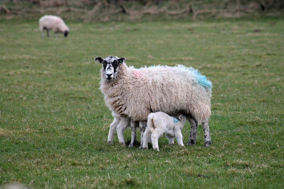
The other field must have been late lambing sheep . . . as the field on this side had plenty of youngsters.
" Full of the joys of Spring."
Stern looks from this mum . . . but she needn't have worried as we were in the fenced lane and well out of the way.
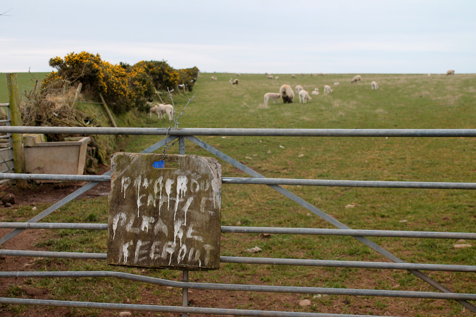
Big scary notice if only you can read it. I may be wrong but the animals in this field look like sheep as well. No time for that last photo . . . as around the corner was the car. We're back at the radio mast where we started the walk earlier. - - - o o o - - -
- - - o o o - - - |
Technical note: Pictures taken with either Ann's Canon Sureshot SX220, or my Canon 1100D Digital SLR. Resized in Photoshop, and built up on a Dreamweaver web builder. This site best viewed with . . . a sheltered spot at sea level to open the sandwich box. Go to Top . . . © RmH . . . Email me here Previous walk - 19th March 2016 - Miterdale and Boat How with Ian A previous time up here - 19th April 2013 - St Bees Colourful Coast Next walk - 27th March 2016 - The Hopegill Valley and Dodd George Fisher's Update Magazine - " Walk of the Month - Spring 2016 "
|